


Winter Hike Mattmark
Úroveň obtížnosti: 3
Fotografie našich uživatelů
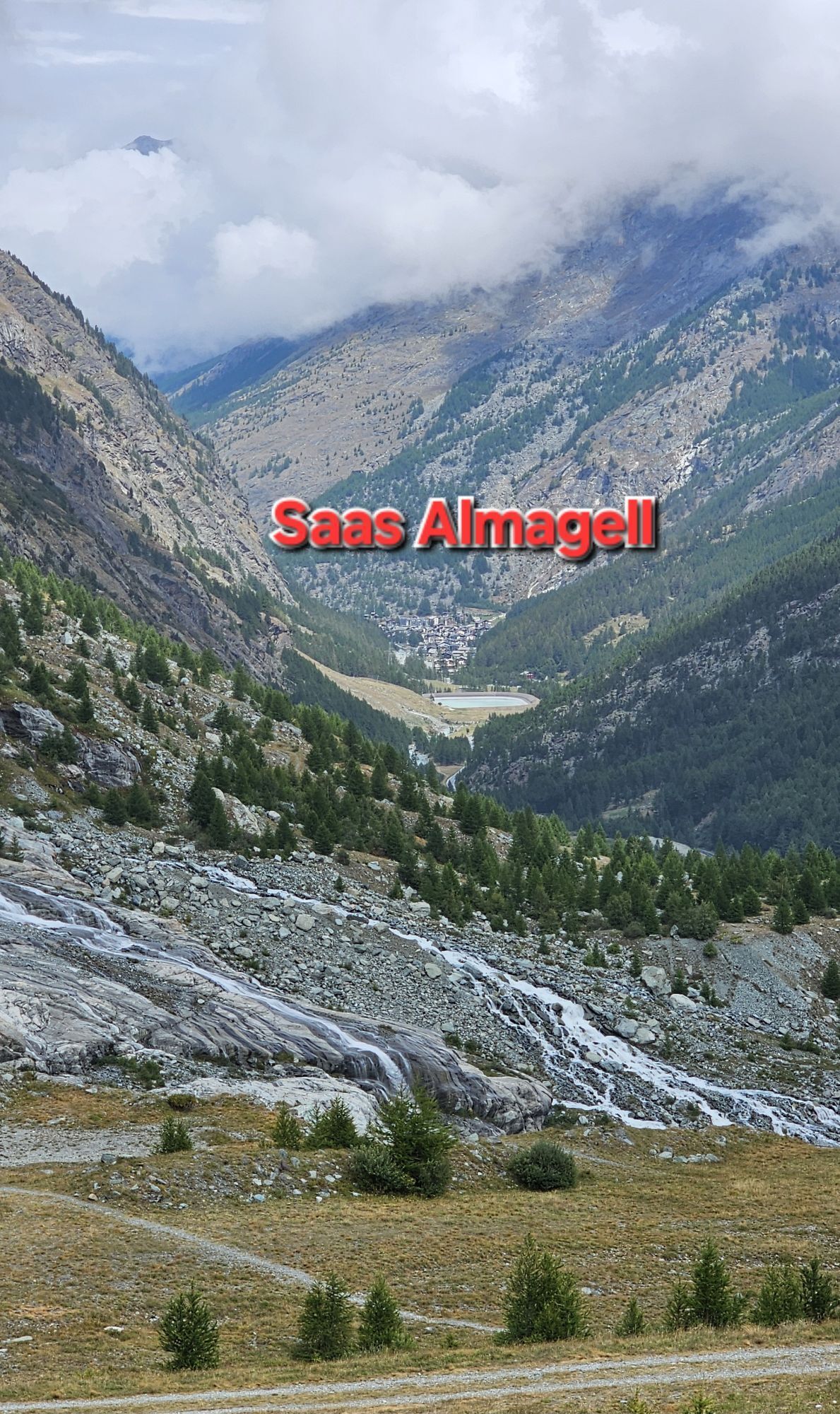
The winter hike begins at the village square of Saas-Almagell and leads through the village of Saas-Almagell to the parking lot of the mountain railways and continues alongside the road to the balancing...
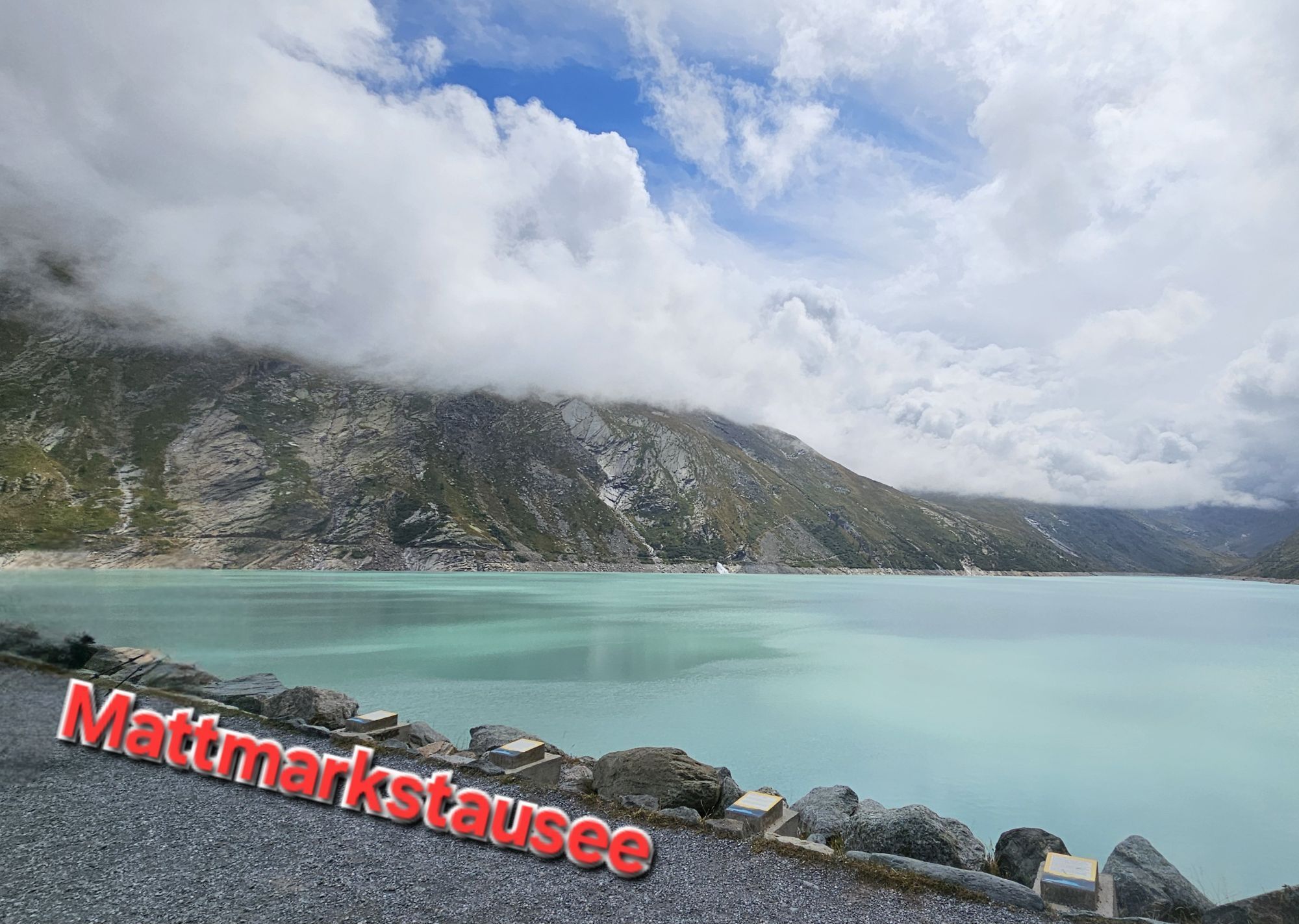
The winter hike begins at the village square of Saas-Almagell and leads through the village of Saas-Almagell to the parking lot of the mountain railways and continues alongside the road to the balancing reservoir of Mattmark AG in Zermeiggern. On the left side is the Zermeiggern chapel. The chapel originally built in 1707 was relocated and rebuilt in 1962 during the construction of the reservoir.
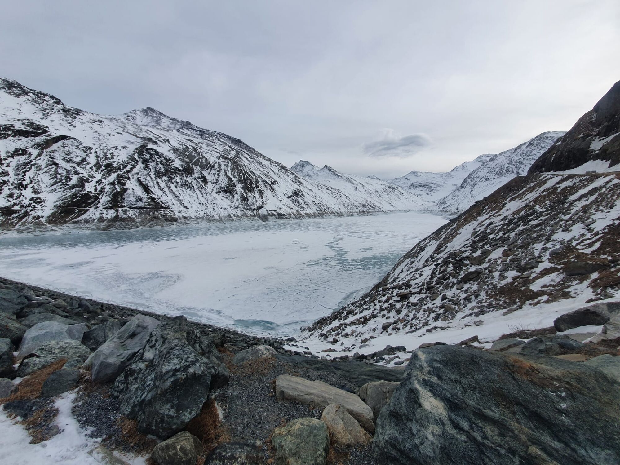
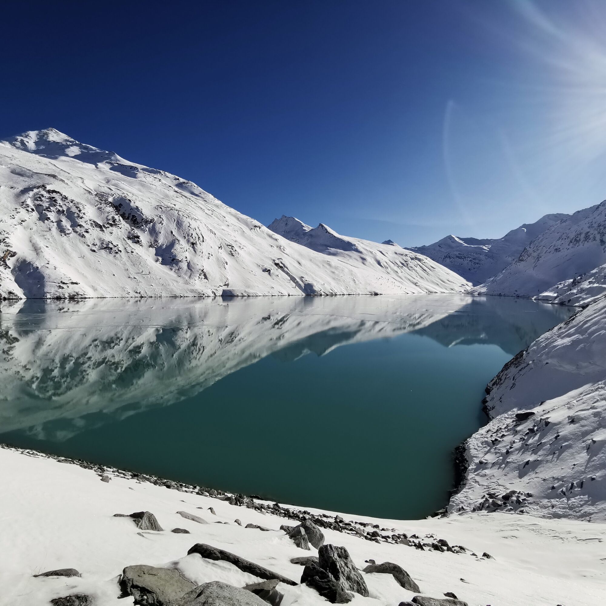
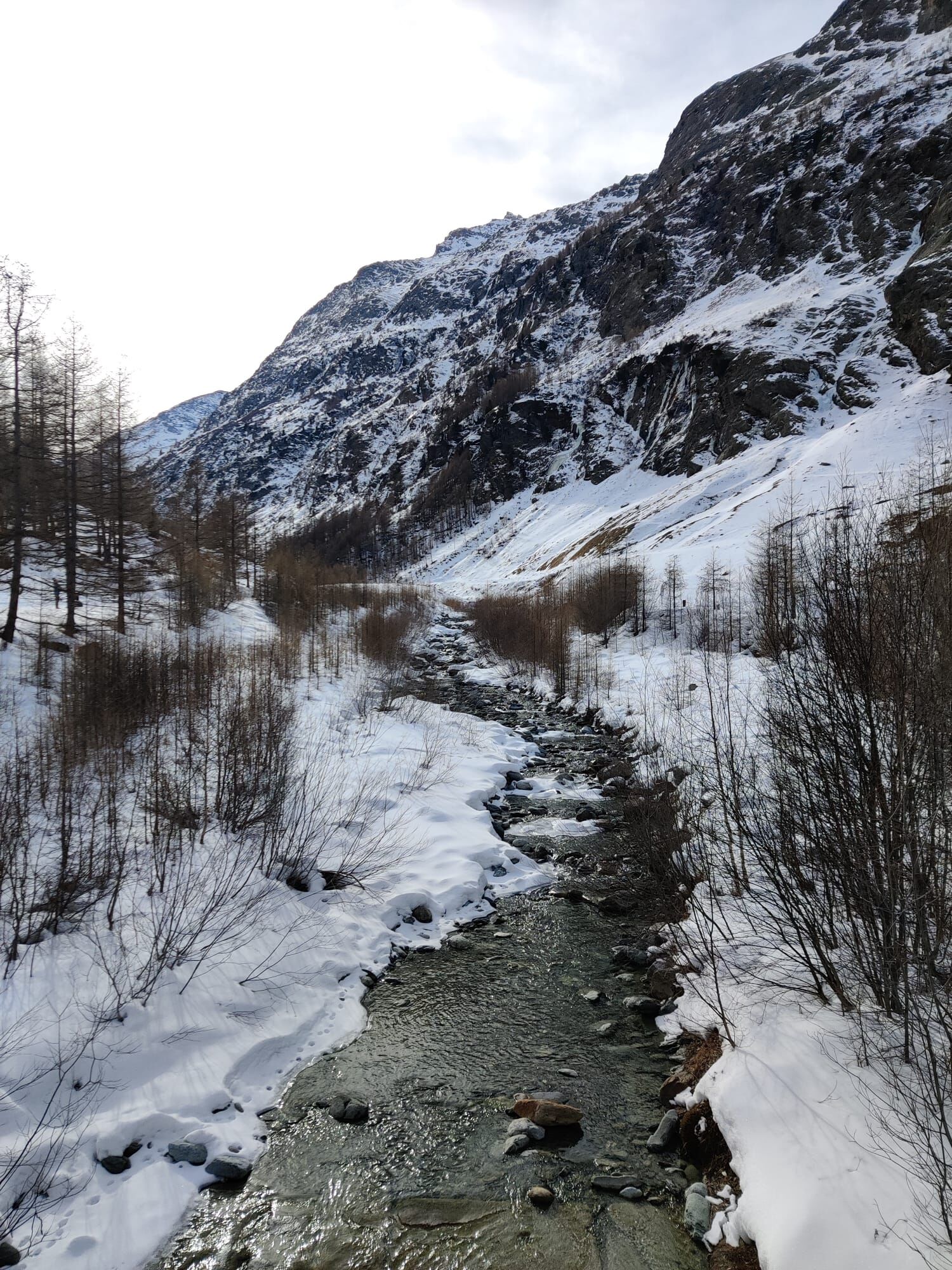
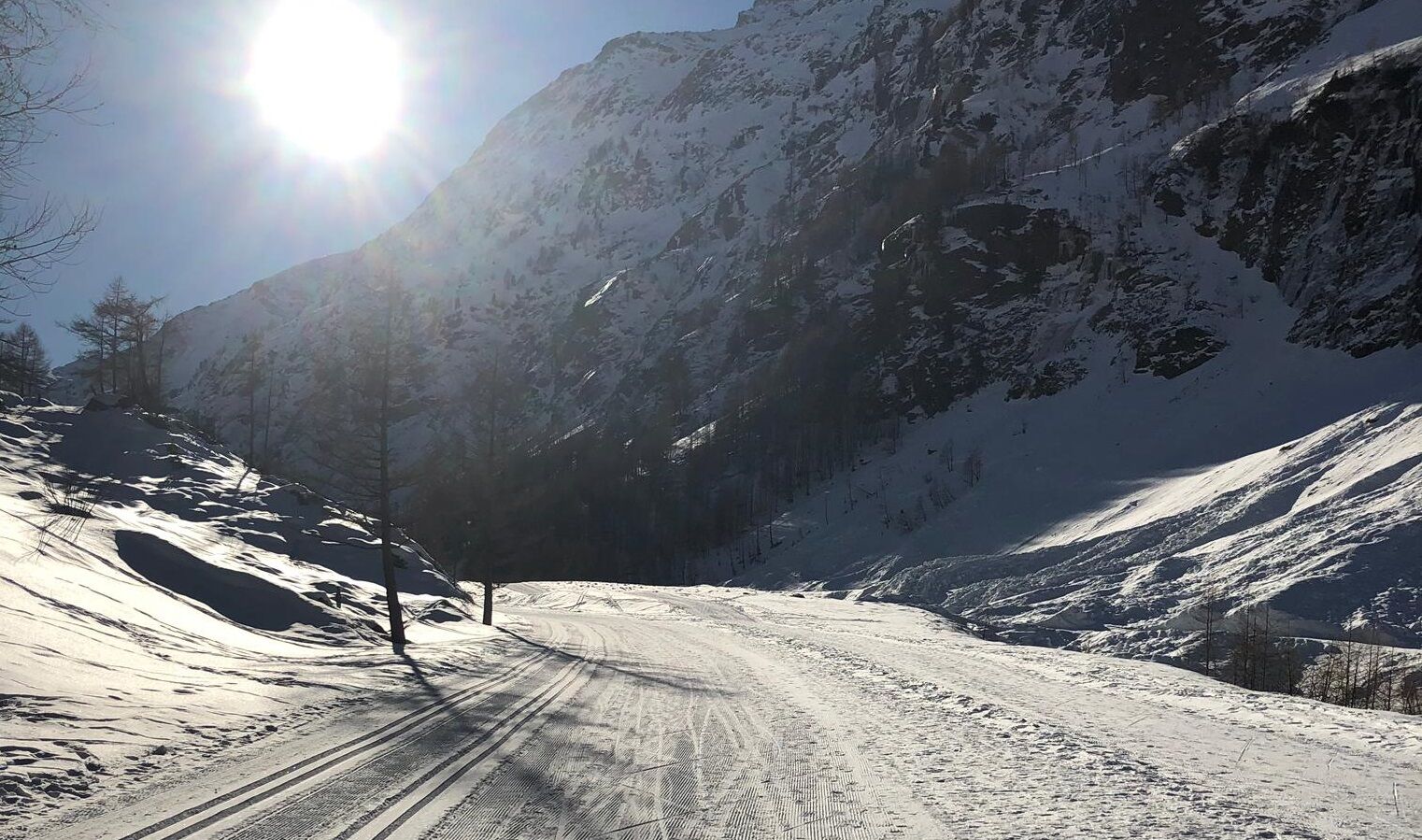
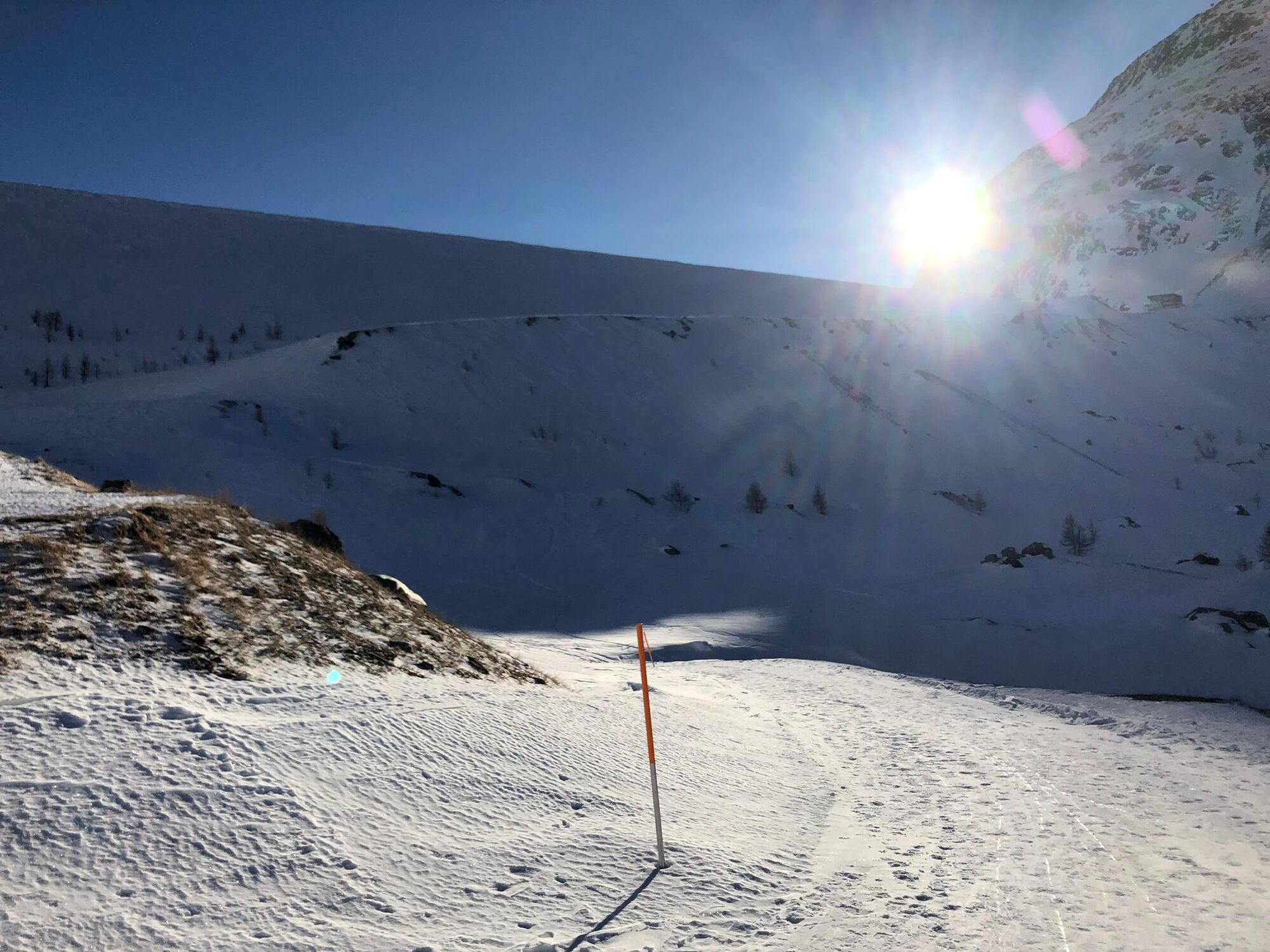
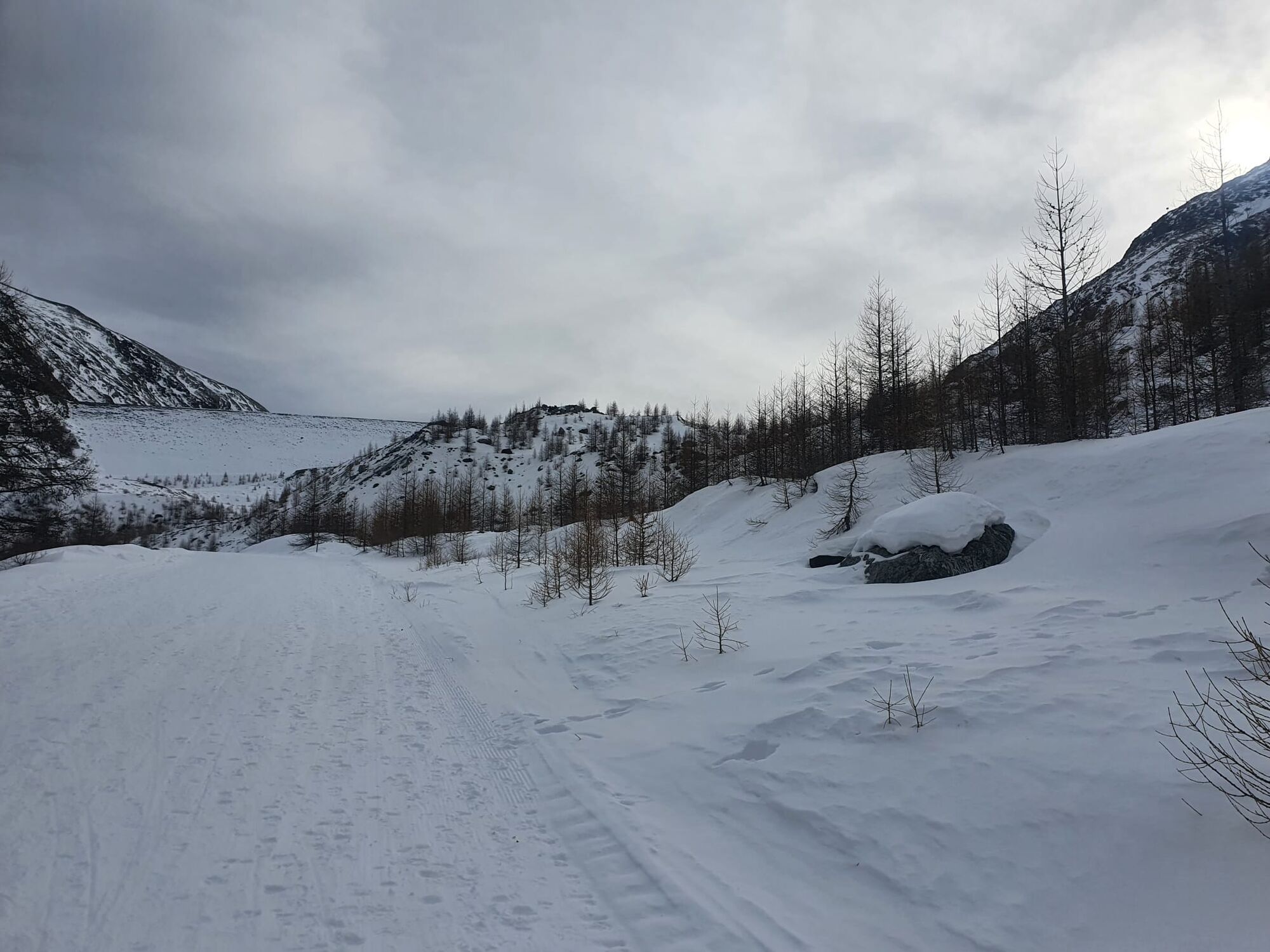
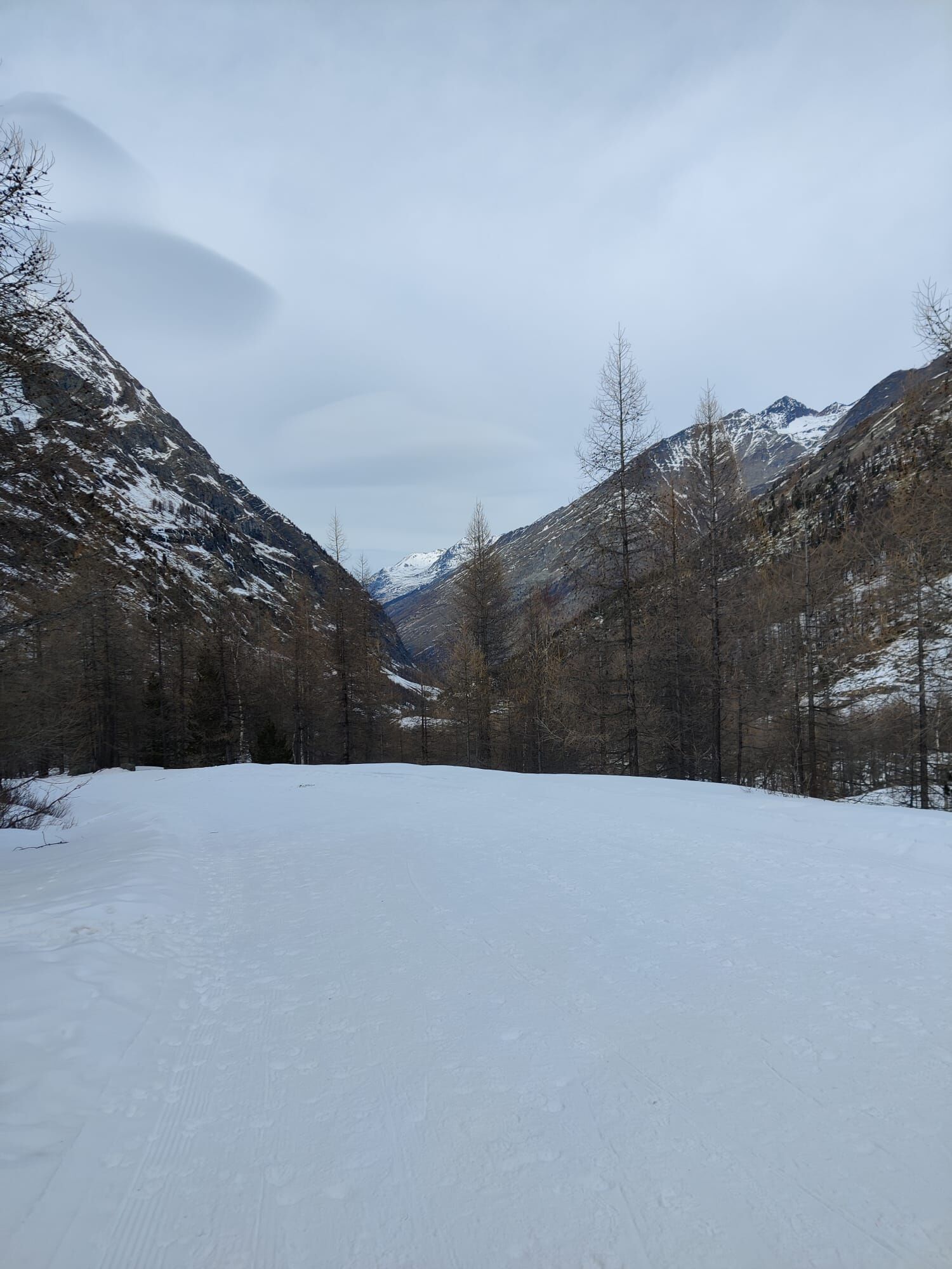
From the roadblock, the path continues along the cross-country ski trail through the snow-covered valley to the "Ejiu Sand," where the trail ends. On the prepared path it continues over the bridge and zigzags across the road up to the north moraine. From here you hike through an alpine winter landscape. At the next bridge (with a barrier) the path turns right and follows the markings over the plain up to the foot of the dam. After the last ascent on the dam, you can enjoy the view of the wintry Mattmark lake and the silence.
The return route follows the same trail back to Saas-Almagell.

Ano
Hiking boots or winter shoes with snow-grip soles
Spikes/crampons (depending on weather conditions)
Warm clothing
Headgear
Sunscreen
Fluids and provisions
Navigation tool
First aid kit
Poles (optional)
Use of the winter hiking trails and the information on this website is at your own risk. Conditions on site may lead to changes in the routes.
Winter hiking trails require increased attention and caution regarding weather conditions and risk of slipping. Wearing sturdy footwear with snow-grip soles and spikes/crampons as well as equipment adapted to the weather is required. Sections with black ice are marked but may only be used at your own risk. Use only marked hiking trails and follow all signs and instructions - for your own safety, to protect livestock, and to avoid disturbing the peace of wildlife. Plan your hike carefully: consider the required fitness of all participants, the weather forecast, and the season. Weather conditions in the mountains can change very quickly and without warning. Appropriate clothing and sufficient provisions (food and drink) are very important. In unsettled weather it is better to turn back early. Watch out for warning signs indicating dangers, especially avalanche risk. Inform others about your route and if possible, never go alone. Do not go on glaciers without a mountain guide.The Saas Valley is easily and conveniently accessible by car from all directions, whether from Switzerland or abroad. From the north you reach us via Bern through the Lötschberg car shuttle. From the east you come via the Furka pass or the Furka car shuttle. From the south we are accessible via the Simplon pass or Simplon car shuttle and from the west you drive via Lausanne along the Rhône valley to Visp and from there towards Saas-Fee.
From Visp you drive south towards Saas-Fee. In the "Killerhof" roundabout towards Stalden take the second exit to Saas-Fee. In Saas-Grund turn left after the church towards Saas-Almagell.
Take the SBB to Visp and change there to the PostBus towards Saas-Fee (Bus 511). In Saas-Grund at the Post stop change to the PostBus towards Saas-Almagell (Bus 513). Get off at the Dorfplatz stop.
Large parking lot after the village square.
3
Saastal Tourismus AG
Obere Dorfstrasse 2
3906 Saas-Fee
Tel.: +41 (0)27 958 18 58
E-Mail: info@saas-fee.ch
www.saas-fee.ch
Take your time and enjoy the peace away from everyday life.
Want to shorten the return route? Then bring a sled (not an official sledding path – descents at your own risk).

Oblíbené prohlídky v okolí
-
4.9
Allalinhorn vom Mittelallalin über Normalweg
středníVysokohorská turistika 6.15 km -
3.3
Europaweg Grächen - Europahütte - Zermatt
heavyTuristika 39.9 km -
3.6
Höhenweg Kreuzboden - Almagelleralp - Saas-Almagell
Turistika 9.74 km -
3.4
Waldweg Saas-Fee - Saas-Almagell
Turistika 2.83 km -
3.8
Höhenweg Saas-Fee - Grächen
Turistika 12.0 km -
5.0
Weissmies Südgrat von Saas Almagell
středníVysokohorská turistika 20.5 km -
5.0
Via ferrata Jägihorn
heavyVia ferrata 6.14 km -
3.5
Saas-Fee - Gemsweg - Hannig - Plattjen
Turistika 6.89 km -
3.0
Mattmark - Monte Moro - Macugnaga
Turistika 10.6 km -
2.0
Staudamm Mattmark - Distelalp - Tälliboden - Ofental - Staudamm Mattmark
Turistika 8.01 km

Pěší turistika a stopování


Nenechte si ujít nabídky a inspiraci pro vaši příští dovolenou
Vaše e-mailová adresa byl přidán do poštovního seznamu.