







GTA: Stage 26 Sant'Antonio di Val Vogna - Rivetti Refuge

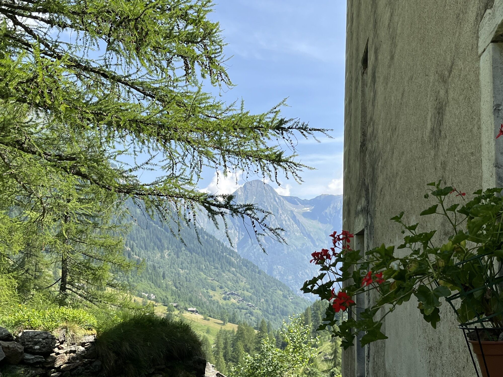
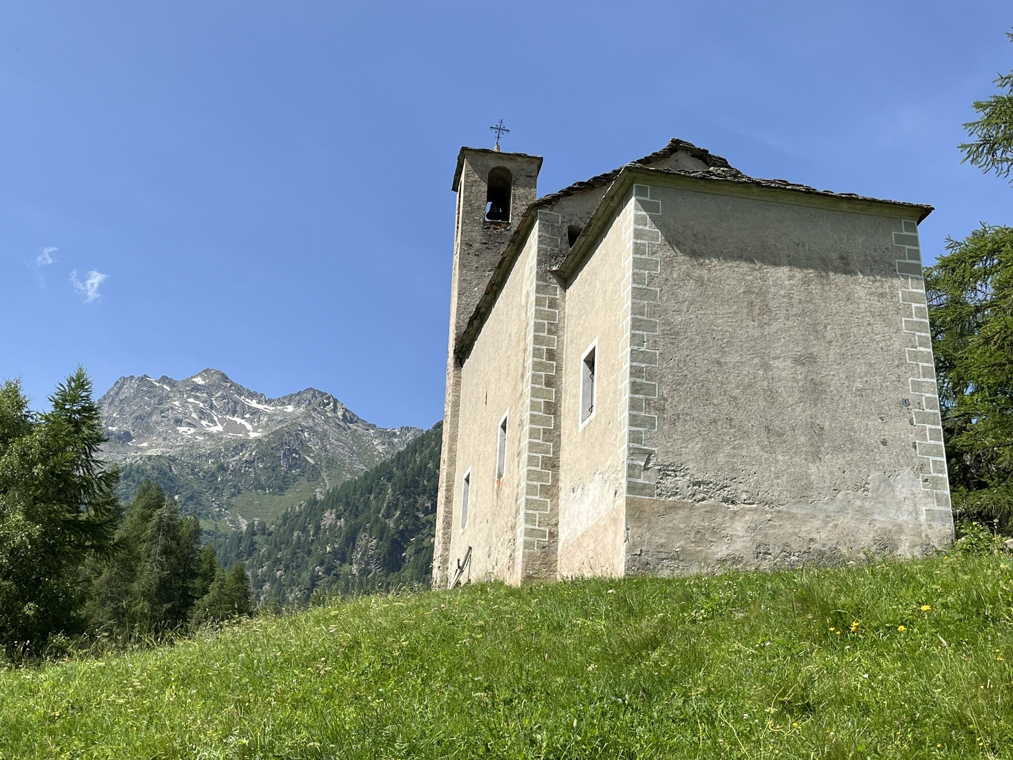
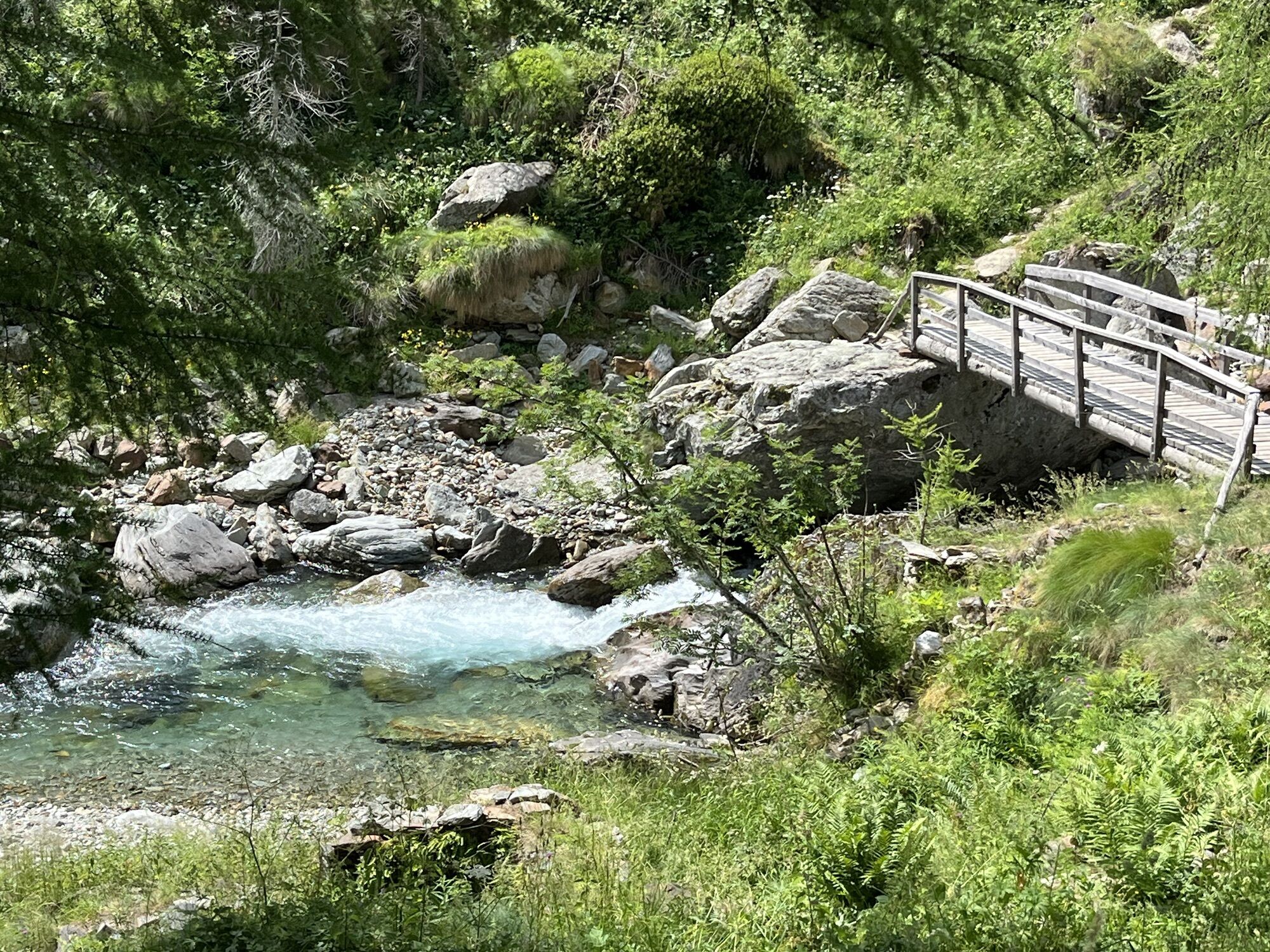
You depart on a dirt road from SantAntonio, following route 201 and you reach the village of Peccia and, a little further on, the old bridge dating back to the Napoleonic era. Leave the steep mule track...
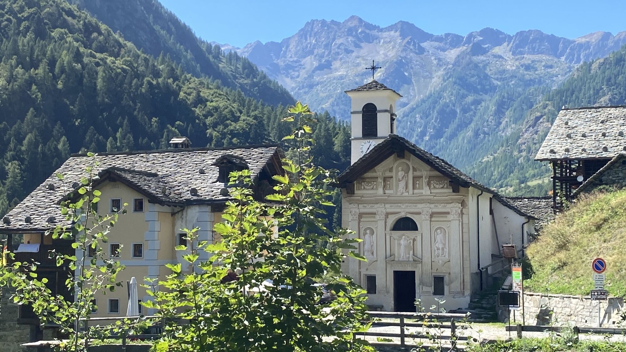
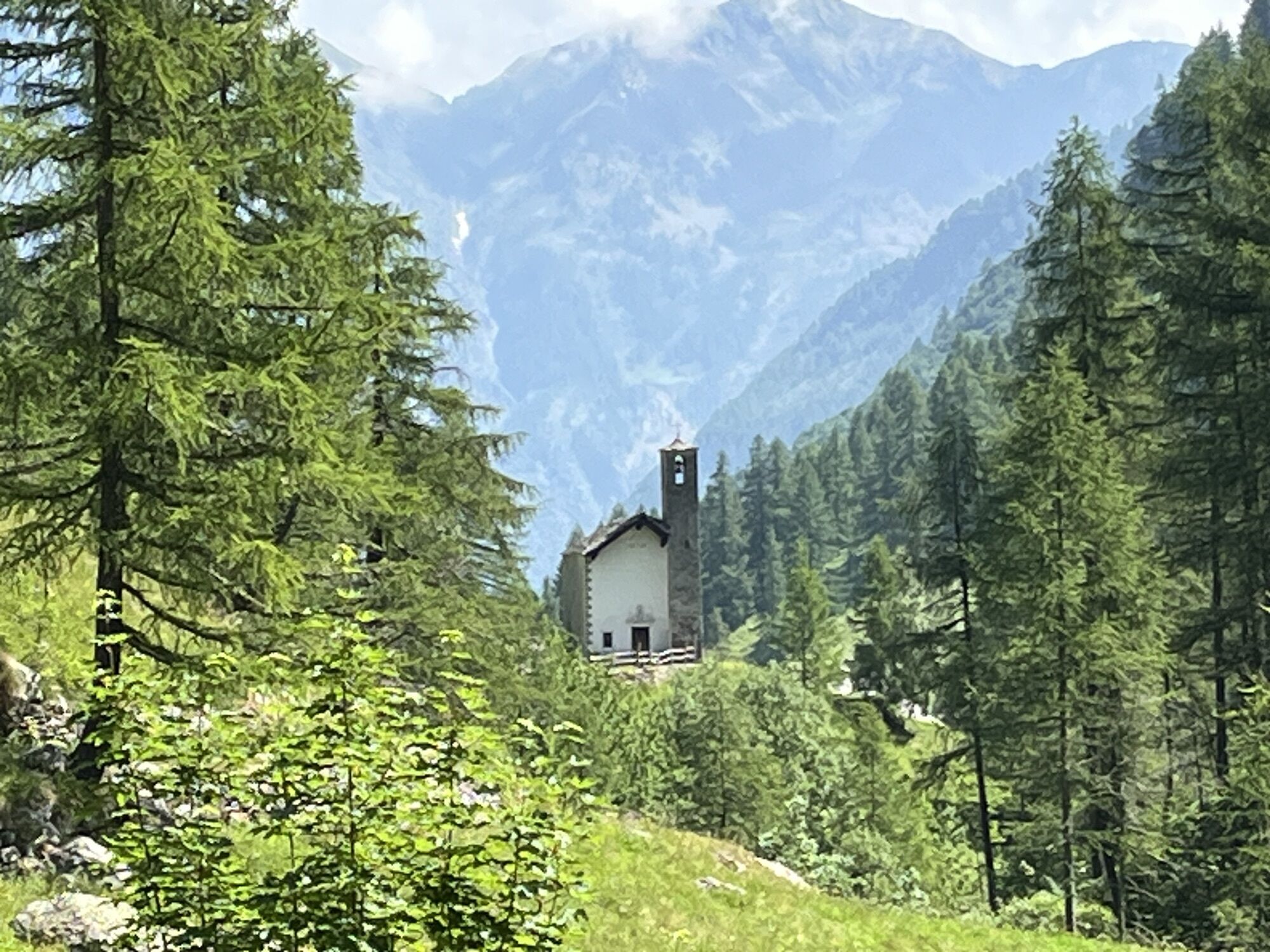
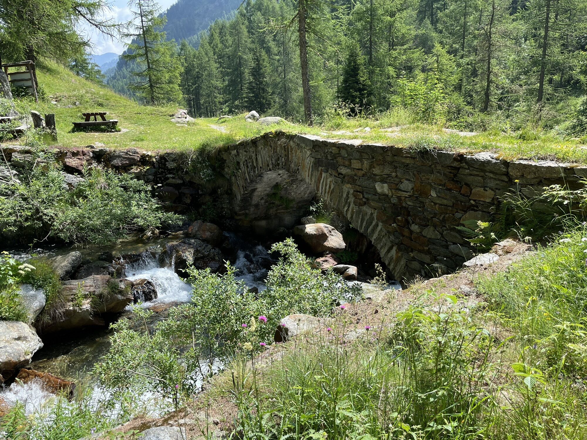
You depart on a dirt road from SantAntonio, following route 201 and you reach the village of Peccia and, a little further on, the old bridge dating back to the Napoleonic era. Leave the steep mule track on the right that climbs up to Colle Valdobbia and cross the wooden bridge over the Maccagno stream at an altitude of 1536 metres. The mule track runs practically flat alongside the stream for a good stretch. You then go up a ramp, cross the Rio Tillio and, bypassing a hump, you reach Alpe Buzzo Inferiore (1698 m). Here you ignore the 206x route that leads to the left to the Alp and to Lago del Tillio and continue past the Alpe Buzzo Superiore cheese hut (1718 m) until you firstly reach Alpe Pioda di Sotto (1830 m) and then Alpe Pioda di Sopra (1877 m). Following route 205xa, you can climb up to the Alp, to the Lake and to the Bocchetta del Cortese (2562 m). Once past the mountain pasture, cross the bridge over the Maccagno steam and take the ascent that leads to the plateau of Alpe Camino at 2031 m. From this plateau, the site of an ancient lake, turn right to go around a spur and reach a small ledge, where the itinerary 205xb leads to Lago della Caudrola and to Passo del Camino or Casera Nuova (2472 m). Continuing practically on the flat and crossing the stream for the umpteenth time, you will soon reach Alpe Maccagno (2188 m) (0.30-2.15 hours). Cross the picturesque alpine pasture on the shore of a small lake, enter the valley, pass some basins and, leaving the tracks for Colle della Meia (itinerary 205xd) and then those for Colle del Laghetto (205xc) on the left, you reach Lago Nero (2322 m). A final stretch leads to the Passo del Maccagno (2493 m) located between Cornaccio to the west and Cima Morticci or Monte Cossarello. From the pass the path descends to the Piani di Loo from where it is possible to descend through the homonymous valley to the hamlets of Loomatto and Champsil (trail sign 12b of the Aosta Valley hiking network) in Valle Gressoney. Instead, you head straight towards the nearby Colle Lozoney (2395 m) from where, keeping on the hillside below the Lozoney peak, you reach Colle della Mologna Grande (2356 m) and then descend rapidly to Rifugio Rivetti below in Valle del Cervo.





Oblíbené prohlídky v okolí
- 4.7
Sources of the Lys
středníTuristika 3.38 km - 4.3
Ospizio Sottile
středníTuristika 4.77 km - 5.0
Alta Luce/Hochliecht
středníTuristika 6.44 km - 5.0
Monterosa Walser Waeg - 15 Km route
středníTrailrunning 15.1 km - 5.0
Alpenzù Grande
středníTuristika 1.06 km - 5.0
Corno Bussola
heavyHorská turistika 17.7 km - 4.0
Bivacco Gastaldi
středníTuristika 3.71 km - 4.5
La Rosa Bianca - Il Gatto Azzurro - Oratorio di San Giovanni Battista - Piedicavallo
středníTuristika 5.47 km - 5.0
Testa Grigia
heavyTuristika 7.98 km GTA: Tappa 27 Rifugio Rivetti - Santuario di San Giovanni d'Andorno
středníTuristika 14.7 km
Pěší turistika a stopování


Nenechte si ujít nabídky a inspiraci pro vaši příští dovolenou
Vaše e-mailová adresa byl přidán do poštovního seznamu.





