







Alta Luce/Hochliecht

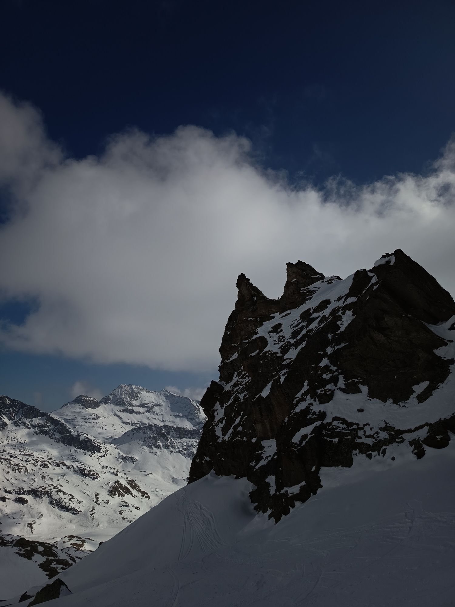
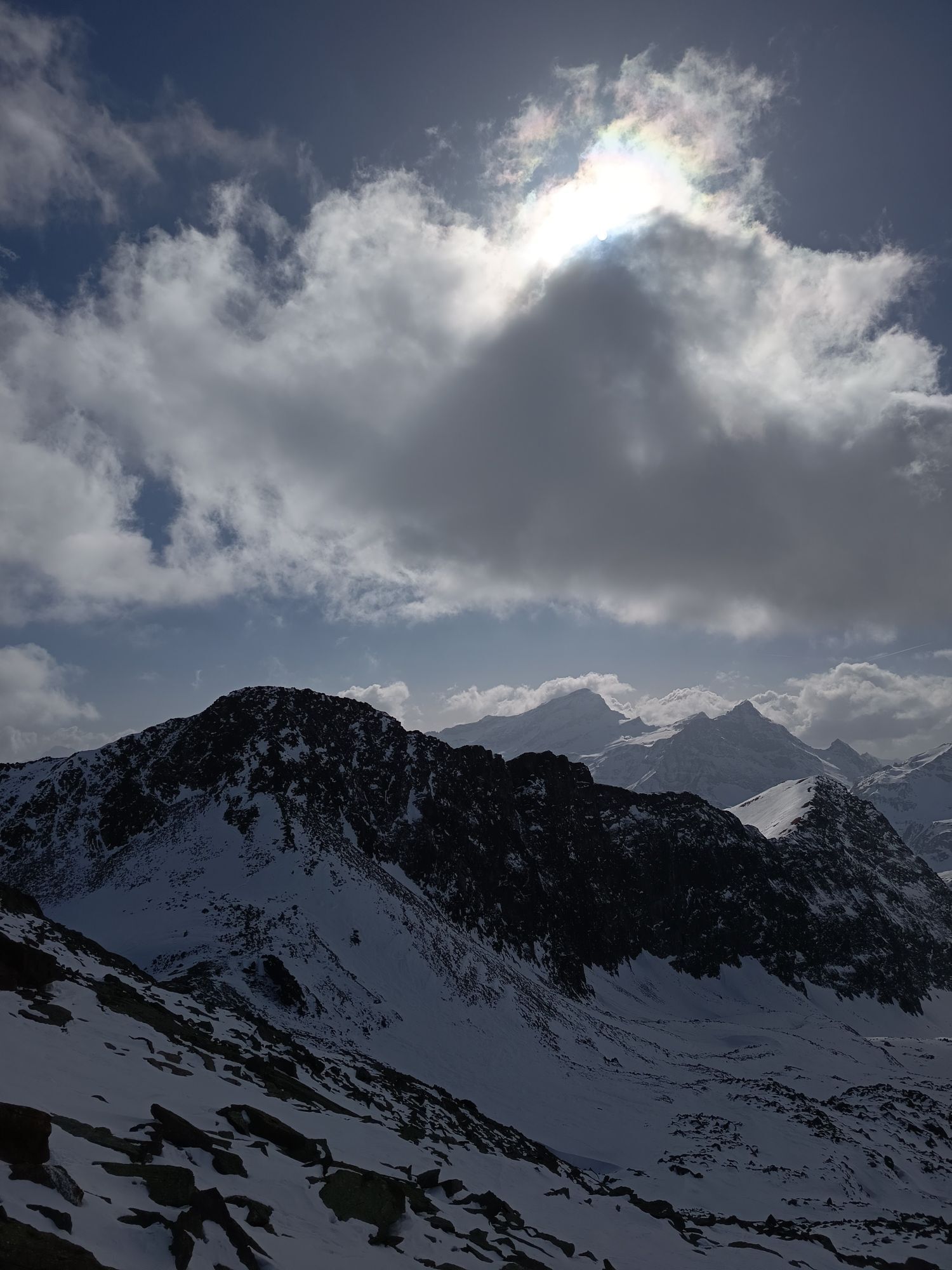
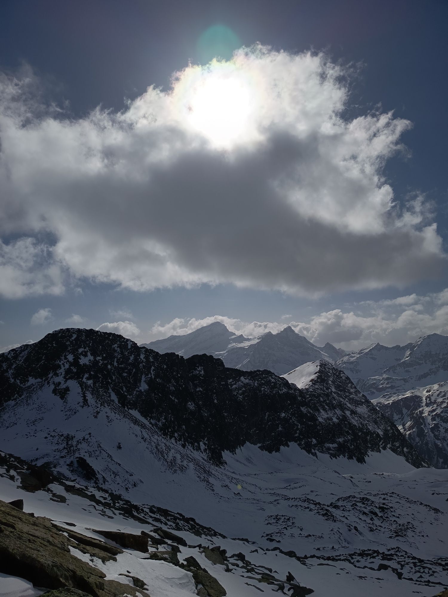
From the large parking lot located in the Staffal area at Gressoney La Trinité, continue along the left bank of the Lys stream until reaching the entrance of trail number 7 towards the sources of the Lys.
After...
From the large parking lot located in the Staffal area at Gressoney La Trinité, continue along the left bank of the Lys stream until reaching the entrance of trail number 7 towards the sources of the Lys.
After a flat section, you start to climb among larches until you reach the characteristic Courtlys hut. The trail continues and you need to take the right path towards the Salza pass. The path continues steeply in the valley until reaching the final basin from which you face the last section that leads to the Salza pass. The trail continues to the left climbing the steep rocky slope to then reach the summit, from where you can enjoy the view of Monte Rosa. The return is made by the same route.
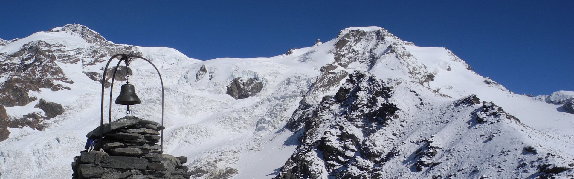

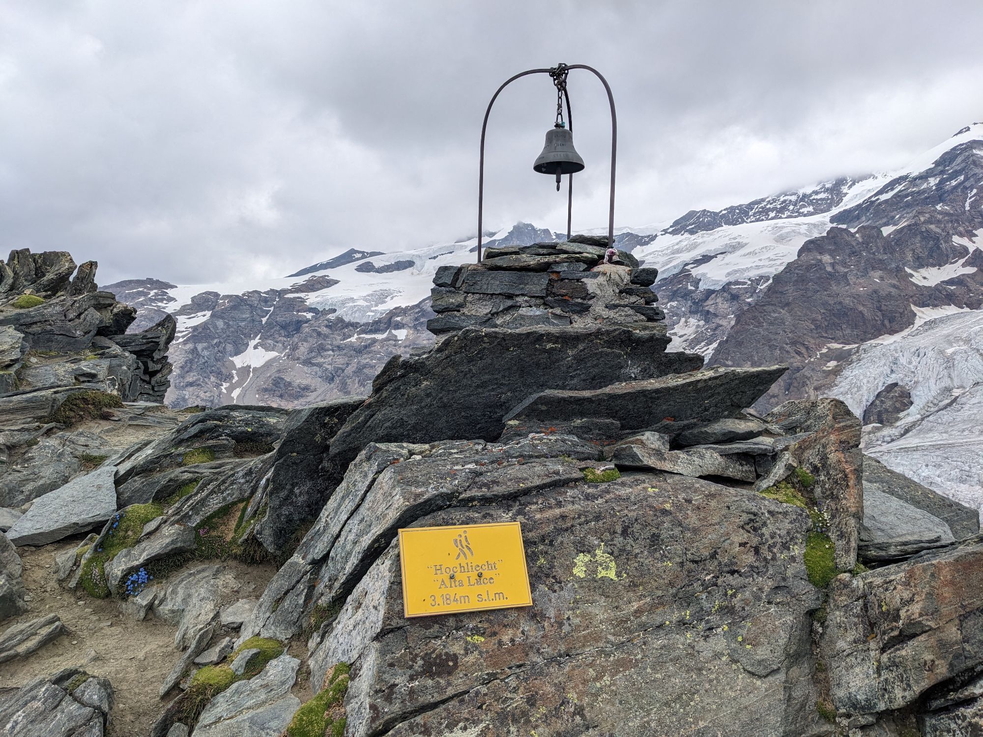
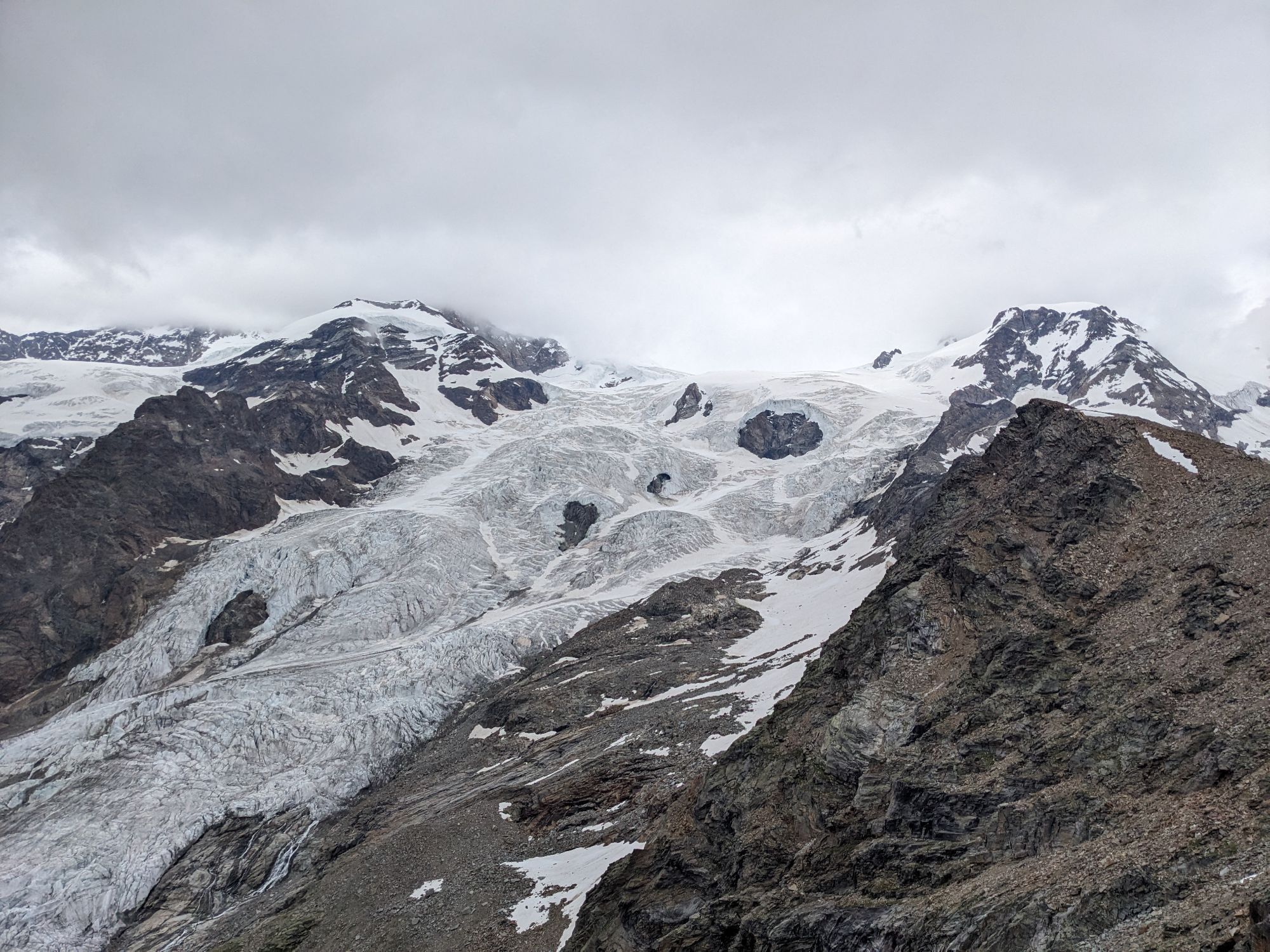
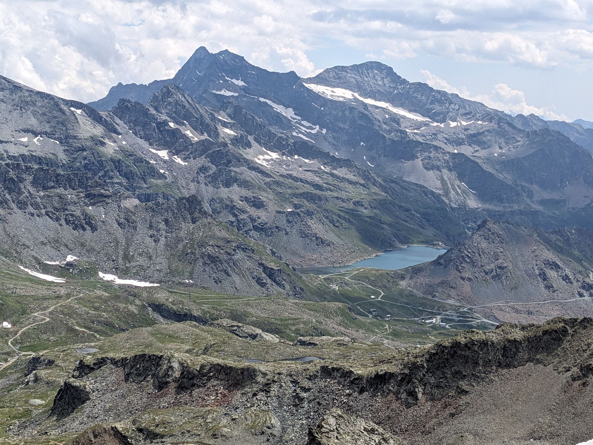
From the bridge at Staffal, go up a small road that starts on the right (left orographic side) of the Lys stream (trail marker 7). The trail, after passing a moraine, turns right at a junction located at 2155 m and becomes trail marker 7c. Climb up to the lower Alpe Salza (2321 m), continue on a well-marked trail to the Salza pass (watch out for the last steep ramp which is rather 'dirty' and slippery due to the nature of the rock). The pass is marked by a large cairn with several signboards. Here, without being misled by the many indications (the one for Alta Luce is placed downhill on the Gabiet side and might be missed), take the steep path to the left that climbs north (yellow mark with an arrow and just above the indication for 7C on a rock). After the steep initial section overlooking the pass, the trail widens and softens, passes over a plateau and gently climbs over a large scree to reach the remains of the Passera bivouac and the summit bell tower (40/50 minutes from the pass). For the return it is possible (stone on the ground with diverging arrows shortly before the bivouac): – to make a loop crossing the rocky summit plateau eastwards after which the view opens in front of the Città di Mantova refuge. From here it is possible to descend briefly and climb again through a detrital area to the refuge or you can definitely descend into the Moos valley ignoring the deviation to the Salza pass, going around the Bleu and Verde lakes on the left (trail marker 6A) and thus reaching the Alpe Gabiet cable car, or stay higher on a trail not always clear and reach Staffal; – return back to the Salza pass and here decide whether to retrace the ascent route (trail marker 7C) or descend to Alpe Gabiet via the Moos valley (trail marker 6A) to use the return by cable car.
Ano
Ano
Hiking boots, snowshoes, backpack, waterproof jacket.
Exit at the Pont-Saint-Martin highway toll and take Regional Road 44 towards Gressoney until you reach Staffal.
Train line from Milan or Turin, stop at Pont-Saint-Martin where you can take the bus to the Gressoney Valley, up to the terminal at Staffal.
Staffal parking lot.

Webové kamery z prohlídky
Punta Jolanda
Monte Rosa da Sitten
Punta Indren
Punta Indren
Punta Indren
Punta Indren
Punta Indren
Punta Indren
Punta Indren
Gabiet
Gabiet
Gabiet
Gabiet
Gabiet
Gabiet
Gabiet
Punta Grober
Seggiovia Cimalegna
Seggiovia Cimalegna
Seggiovia Cimalegna
Seggiovia Cimalegna
Piste Cimelagna und Bodwitch
Piste Cimelagna und Bodwitch
Piste Cimelagna und Bodwitch
Piste Cimelagna und Bodwitch
Salati Pass
Monte Rosa da Sitten
Monte Rosa da Sitten
Gressoney - La Trinité
Seggiovia Cimalegna
Seggiovia Cimalegna



Oblíbené prohlídky v okolí
- 4.8
Klein Matterhorn - P3824 - Breithorn Occidentale / Westgipfel
středníVysokohorská turistika 5.53 km - 4.7
Quintino Sella al Felik 16 08 22
středníTuristika 4.42 km - 5.0
Monte Rosa - Signalkuppe
středníVysokohorská turistika 12.7 km - 4.0
Riffelalp - Gornergrat
středníTuristika 6.22 km - 4.7
Mont Roisetta
středníTuristika 12.6 km Rundwanderung Riffelalp - Grünsee - Grindjisee - Mosjesee - Chez Vrony - Zermatt
světloTuristika 14.8 km- 3.7
Rotenboden - Monte Rosa Hütte
heavyTuristika 8.04 km Gnifetti hutte - pyramide vincent
světloTuristika 4.08 km- 4.7
Sources of the Lys
středníTuristika 3.38 km Theodulhorn
světloTuristika 13.7 km

Pěší turistika a stopování


Nenechte si ujít nabídky a inspiraci pro vaši příští dovolenou
Vaše e-mailová adresa byl přidán do poštovního seznamu.





