







BARDONECCHIA Punta Sommeiller

Úroveň obtížnosti: T2
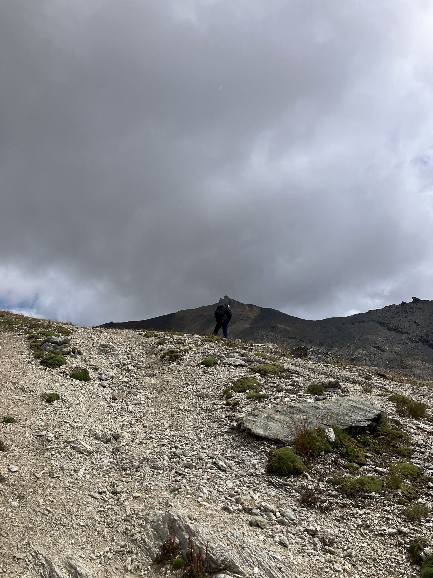
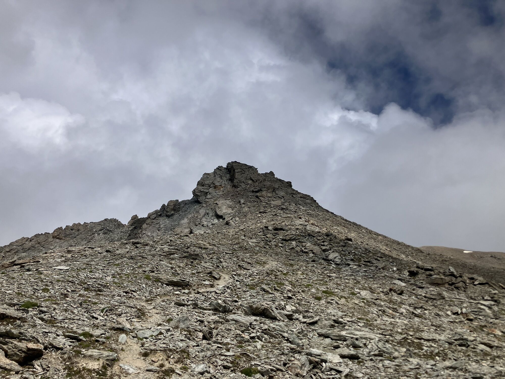
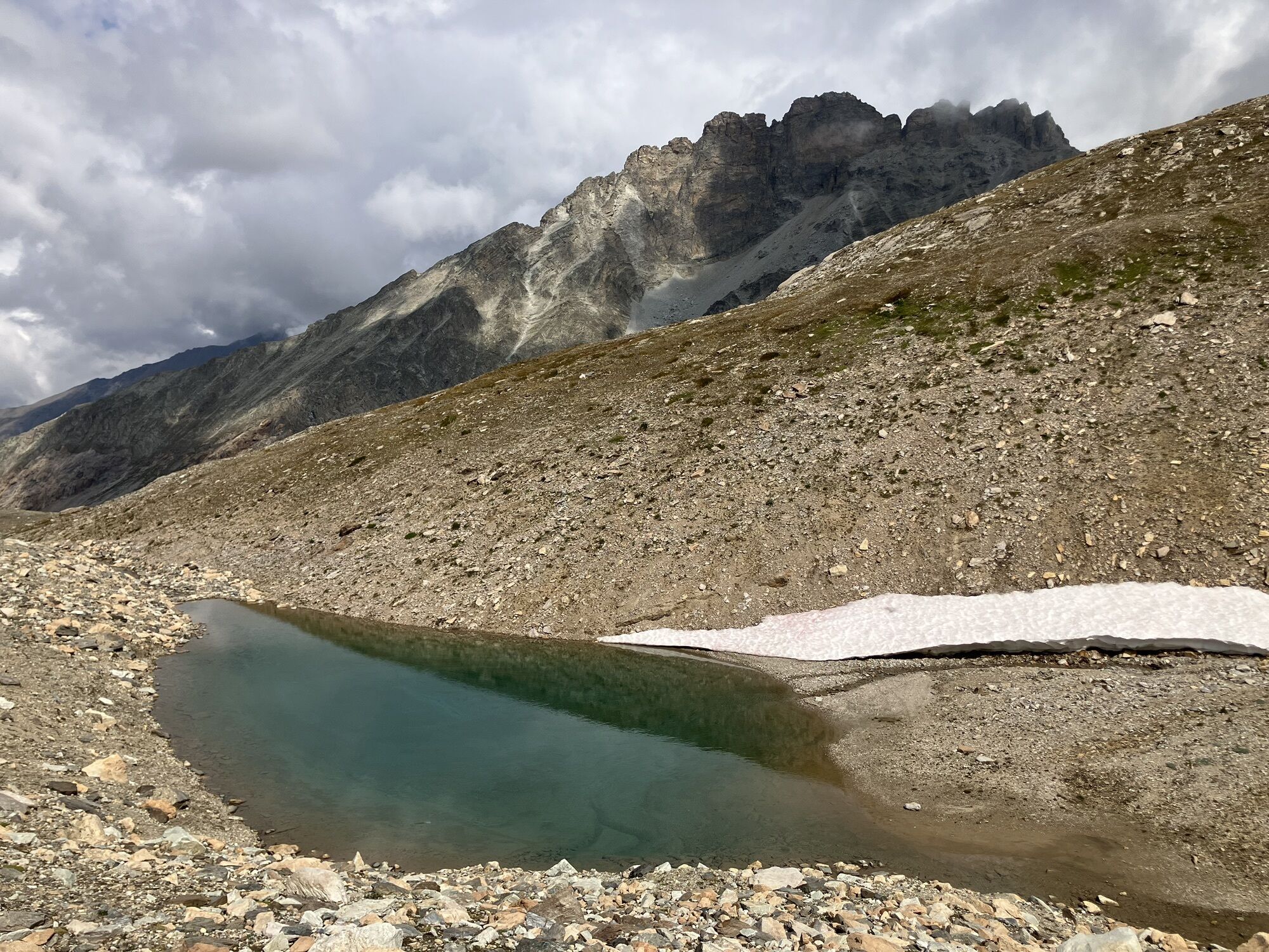
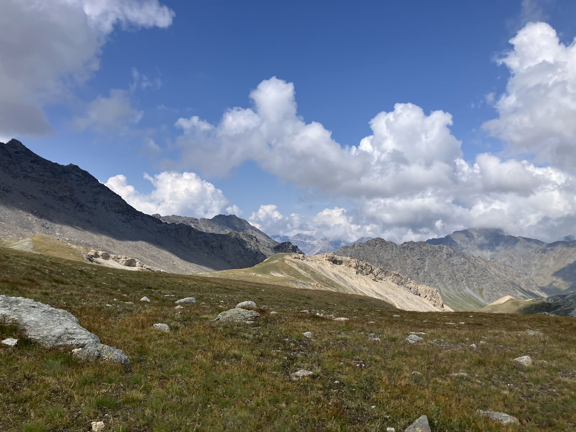
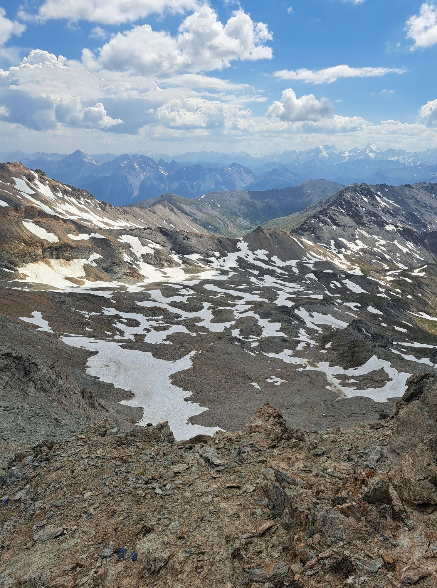
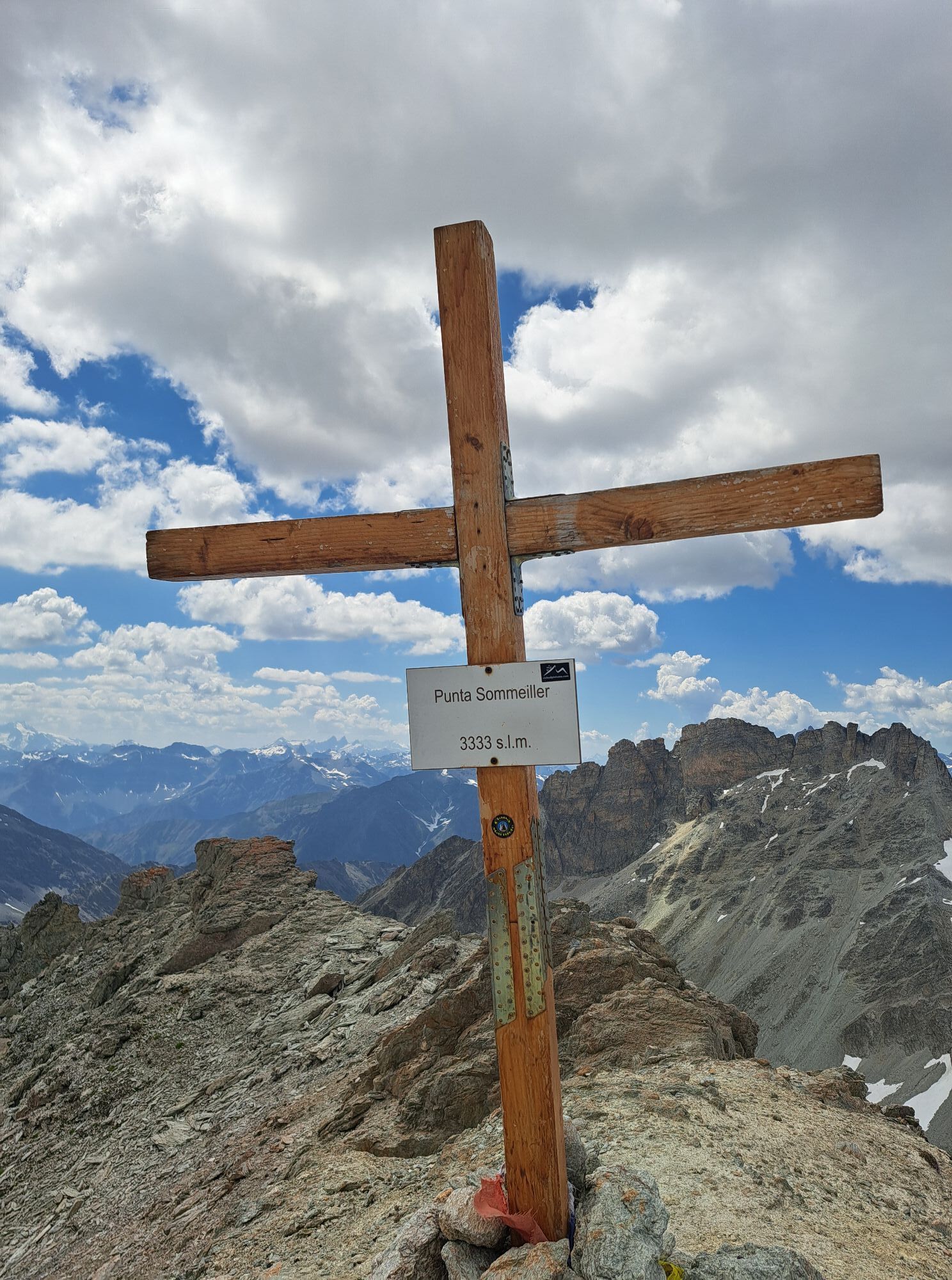
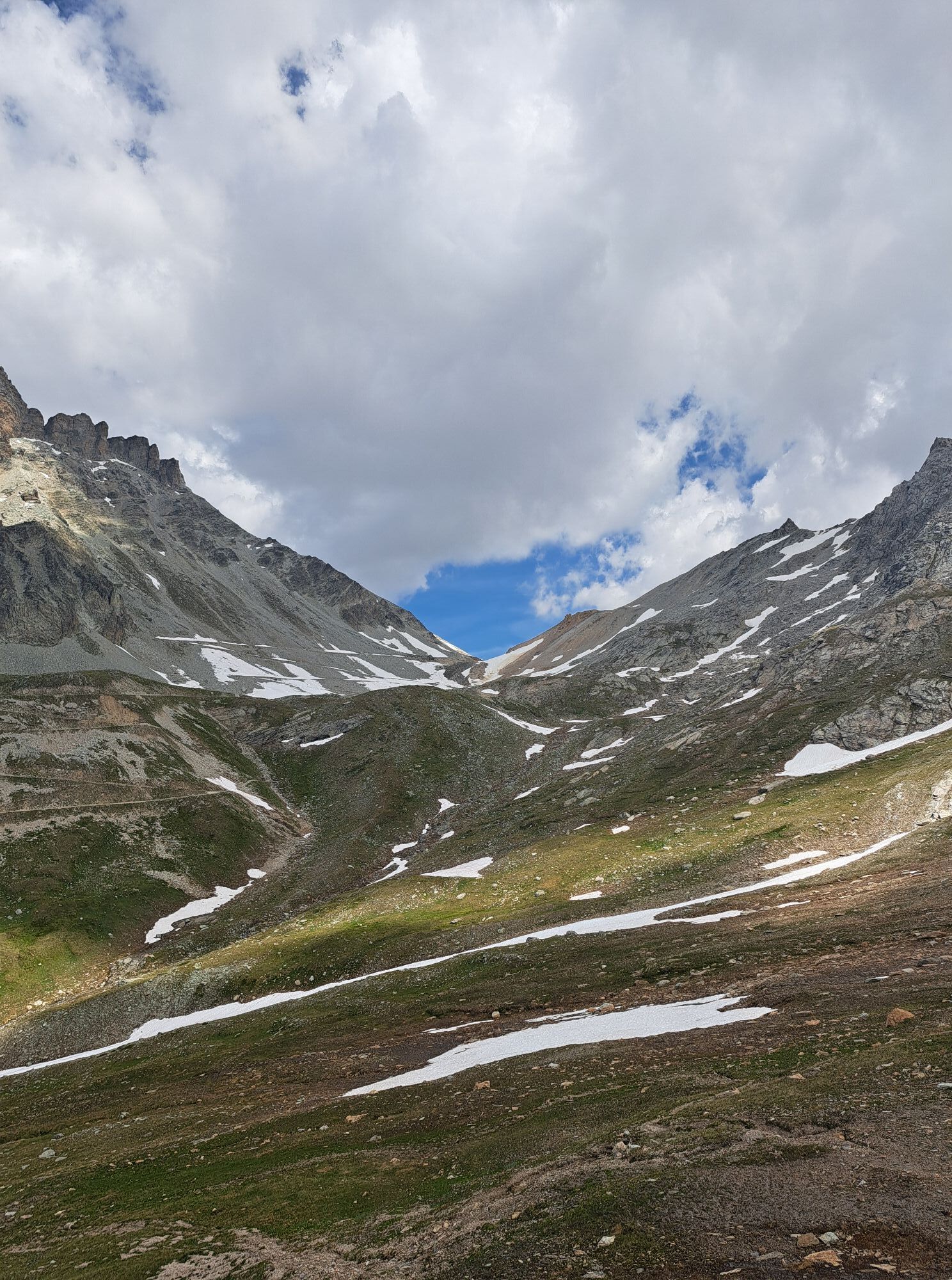
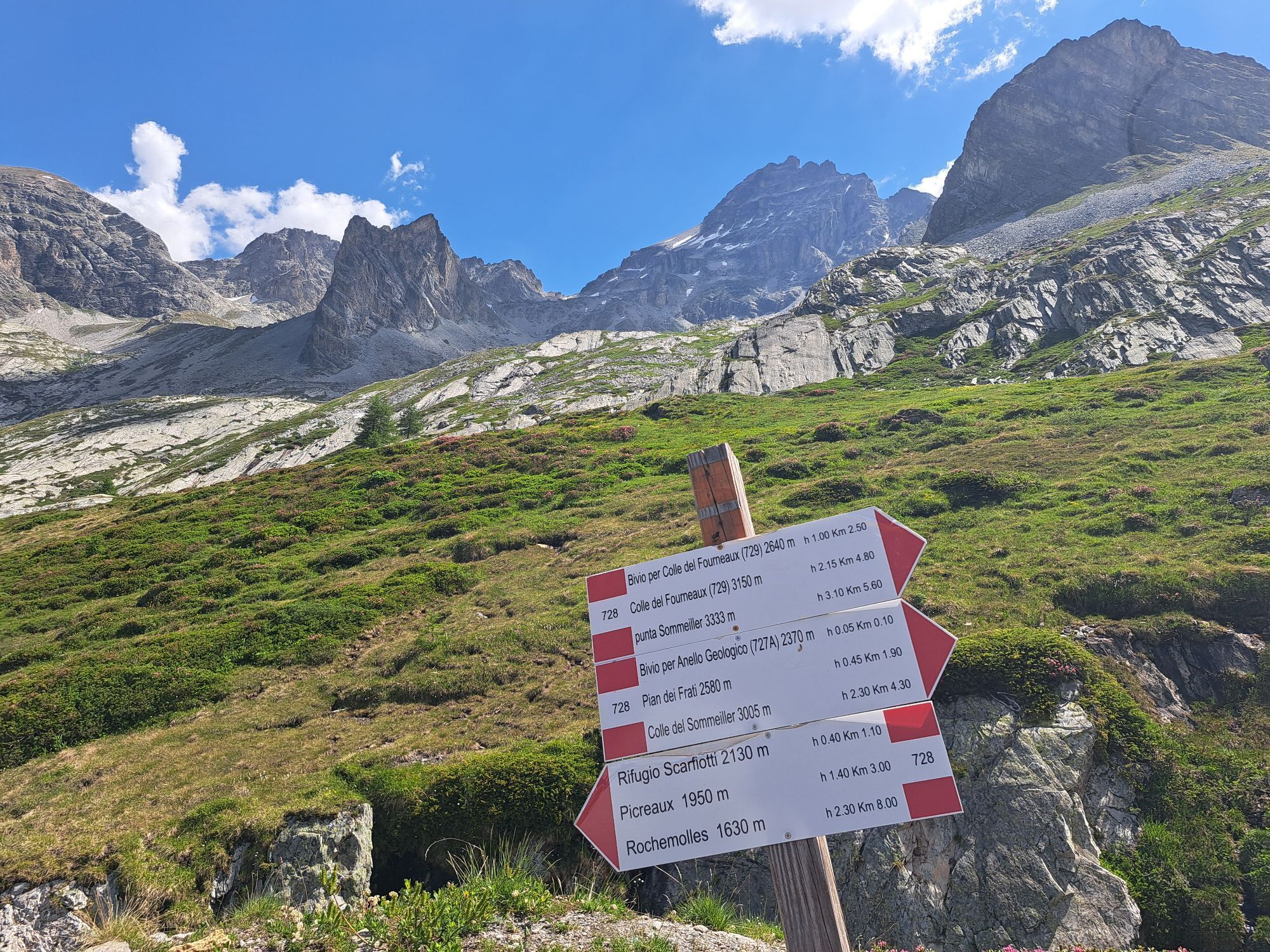

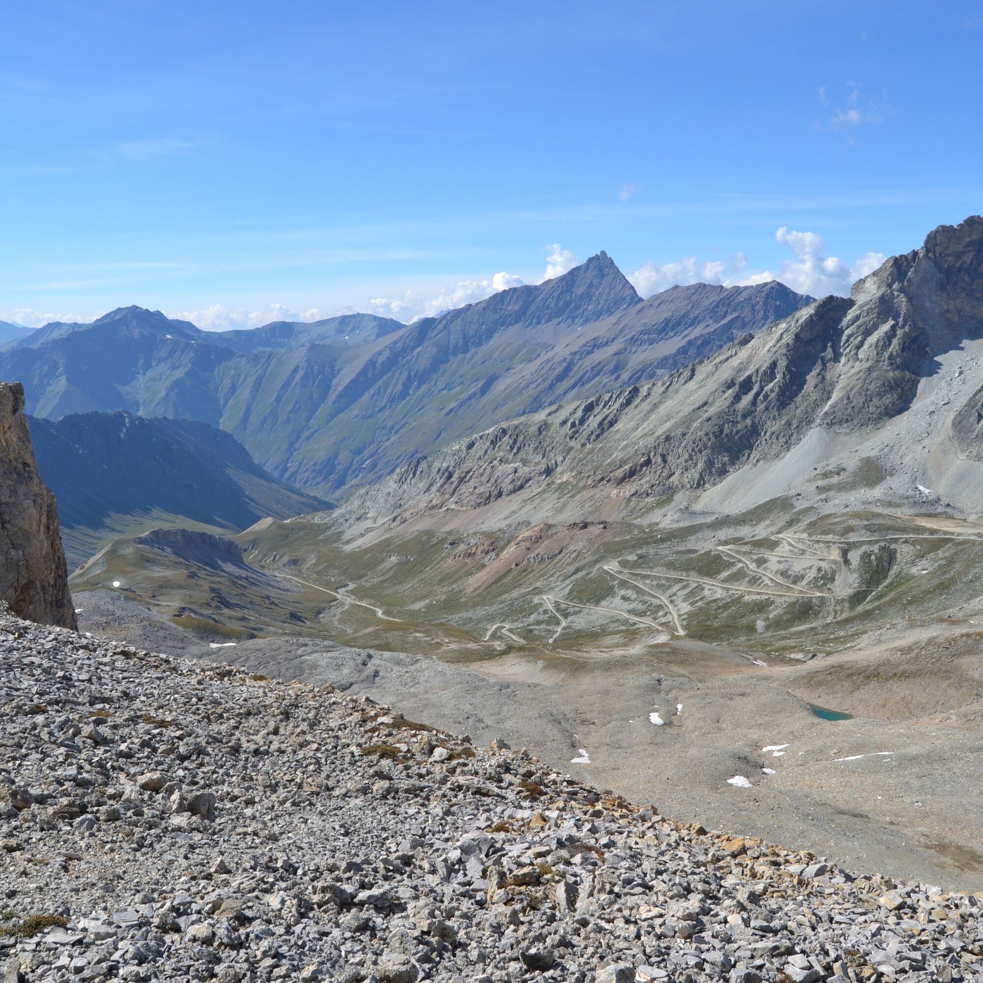
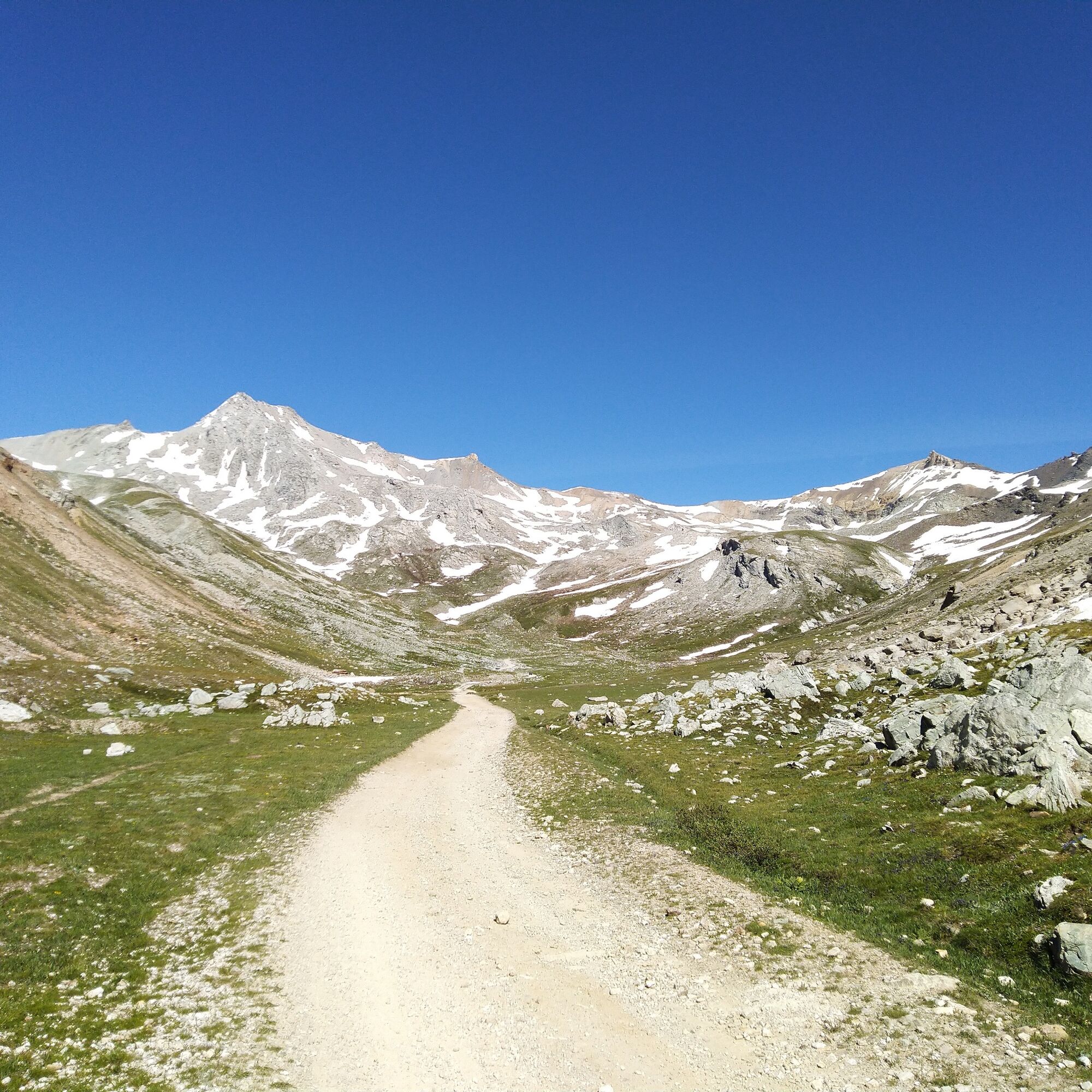
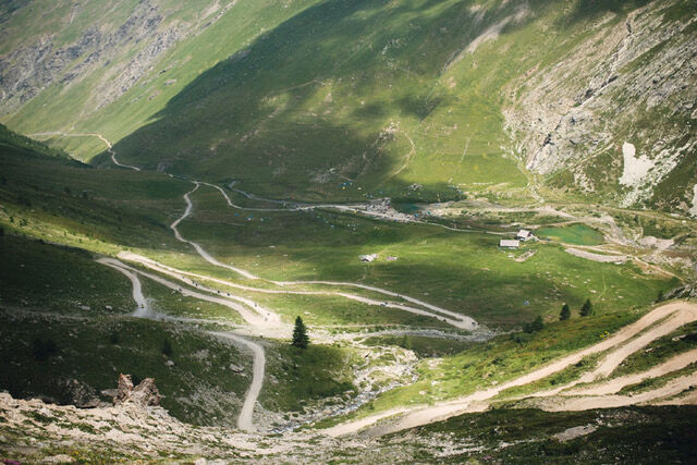
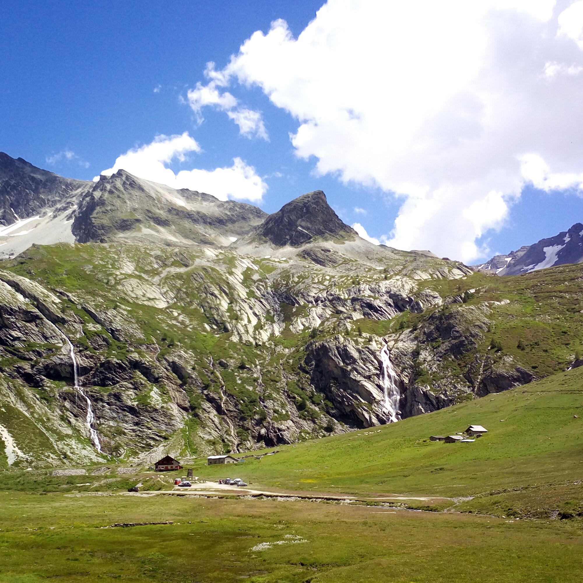

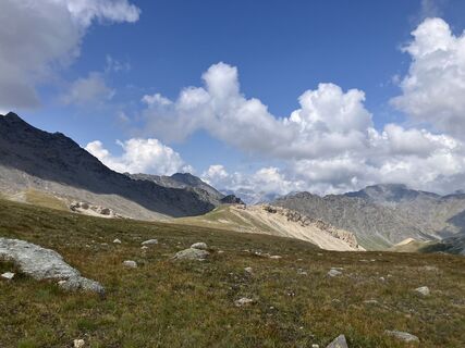
From Bardonecchia drive to Rifugio Scarfiotti. Take the path that starts near the largest waterfall and ascends on the right. Along the route, cross a stream and at some points the carriageable road (always keep to the left). Before Pian dei Morti, descend towards the river, cross the bridge and turn right. Follow the path among traces and signs until you return to the carriageable road. Follow it briefly to a clear left curve where the road begins to climb towards the pass and from where the well-marked path starts, which steadily ascends through meadows and scree slopes to the northern Passo dei Fourneaux. From here turn left and continue on a clear path that leads to Punta Sommeiller.
Ano
Trekking boots
Attention: from July to September for all motor vehicles the carriageable road from Rochemolles to Colle del Sommeiller is subject to regulated opening and payment of a contribution.
By car:
- A32 motorway Turin - Bardonecchia, Bardonecchia exit
- State Road 24: Turin - Oulx and then State Road 335: Oulx - Bardonecchia
Once in Bardonecchia take provincial road 235 which leads into the Rochemolles Valley and follow it for 6 km until you reach the village of Rochemolles. Up to here the road is a bit narrow but fully paved; afterwards it becomes unpaved. Continue along the winding road for about 5 km until you reach the Rochemolles Dam. Proceed for another 4 km to reach Rifugio Scarfiotti.
There is a large parking area at Rifugio Scarfiotti
T2
Bring water with you; there are no fountains along the route


Oblíbené prohlídky v okolí
-
5.0
BARDONECCHIA Colle Sommeiller
středníMountainbike 25.4 km -
5.0
BARDONECCHIA Forte Jafferau Loop
heavyMountainbike 36.8 km -
4.5
BARDONECCHIA Walter Bonatti Path - Grange della Rho
středníTuristika 6.06 km -
5.0
BARDONECCHIA Decauville
středníTuristika 7.29 km -
5.0
La Via dei Saraceni (Sauze d'Oulx)
středníMountainbike 33.6 km -
BARDONECCHIA Monte Jafferau
heavyTuristika 11.6 km -
3.5
BARDONECCHIA Sentiero dei Cosetti by Luciano Ferraris
světloTuristika 3.24 km -
SAUZE D'OULX Richardette - Montagne Seu )
středníMountainbike 19.9 km -
PRAGELATO Colle dell'Assietta
heavyMountainbike 53.3 km -
5.0
OULX Montagne Seu
světloTuristika 5.28 km
Pěší turistika a stopování


Nenechte si ujít nabídky a inspiraci pro vaši příští dovolenou
Vaše e-mailová adresa byl přidán do poštovního seznamu.





