


La Via dei Saraceni (Sauze d'Oulx)
Pedalling uphill in the quiet of the Gran Bosco di Salbertrand, climbing up to Monte Genevris and then following the Assietta Road to Col Basset is priceless!
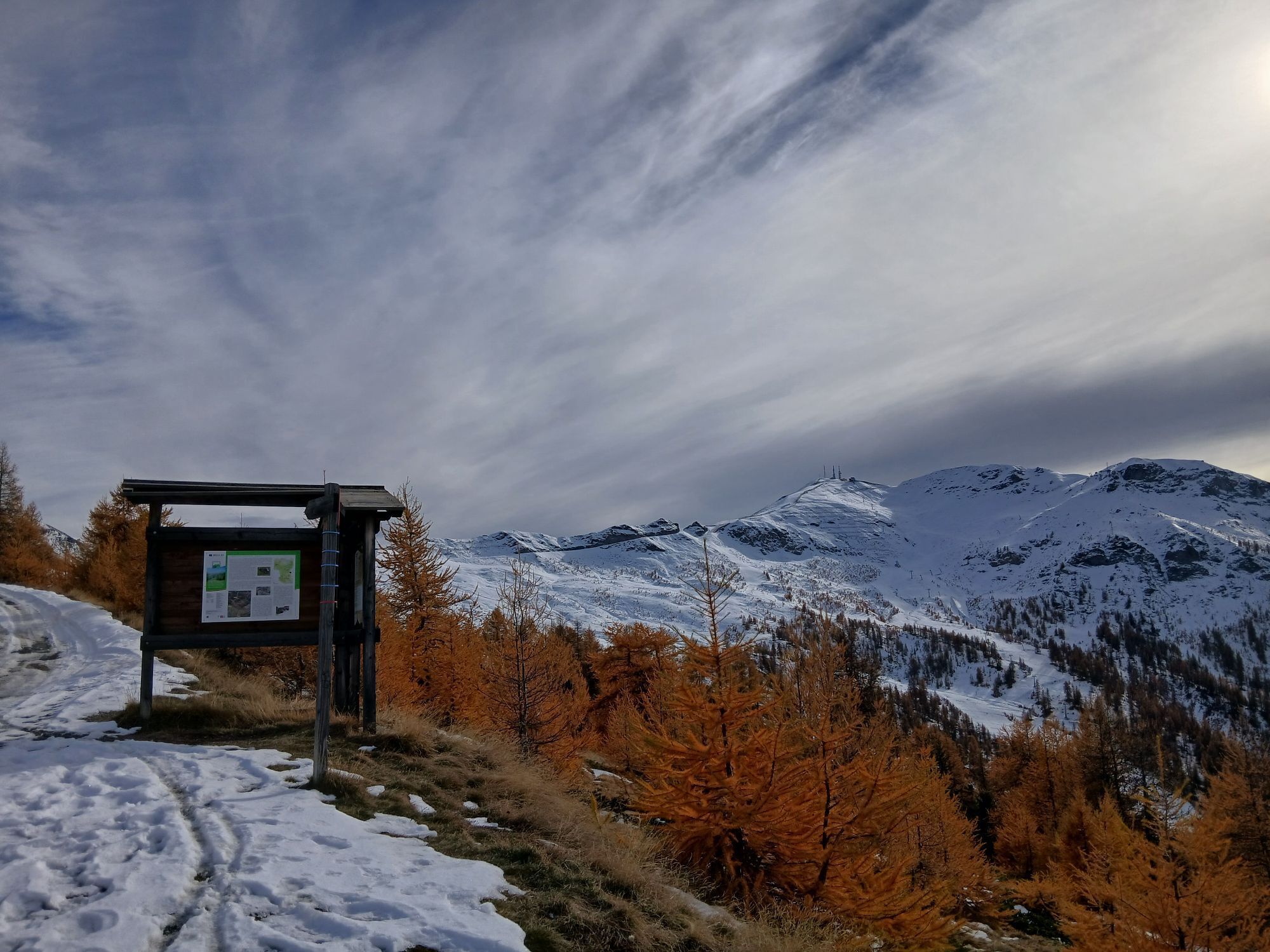
The spectacular setting and the 360° panorama...
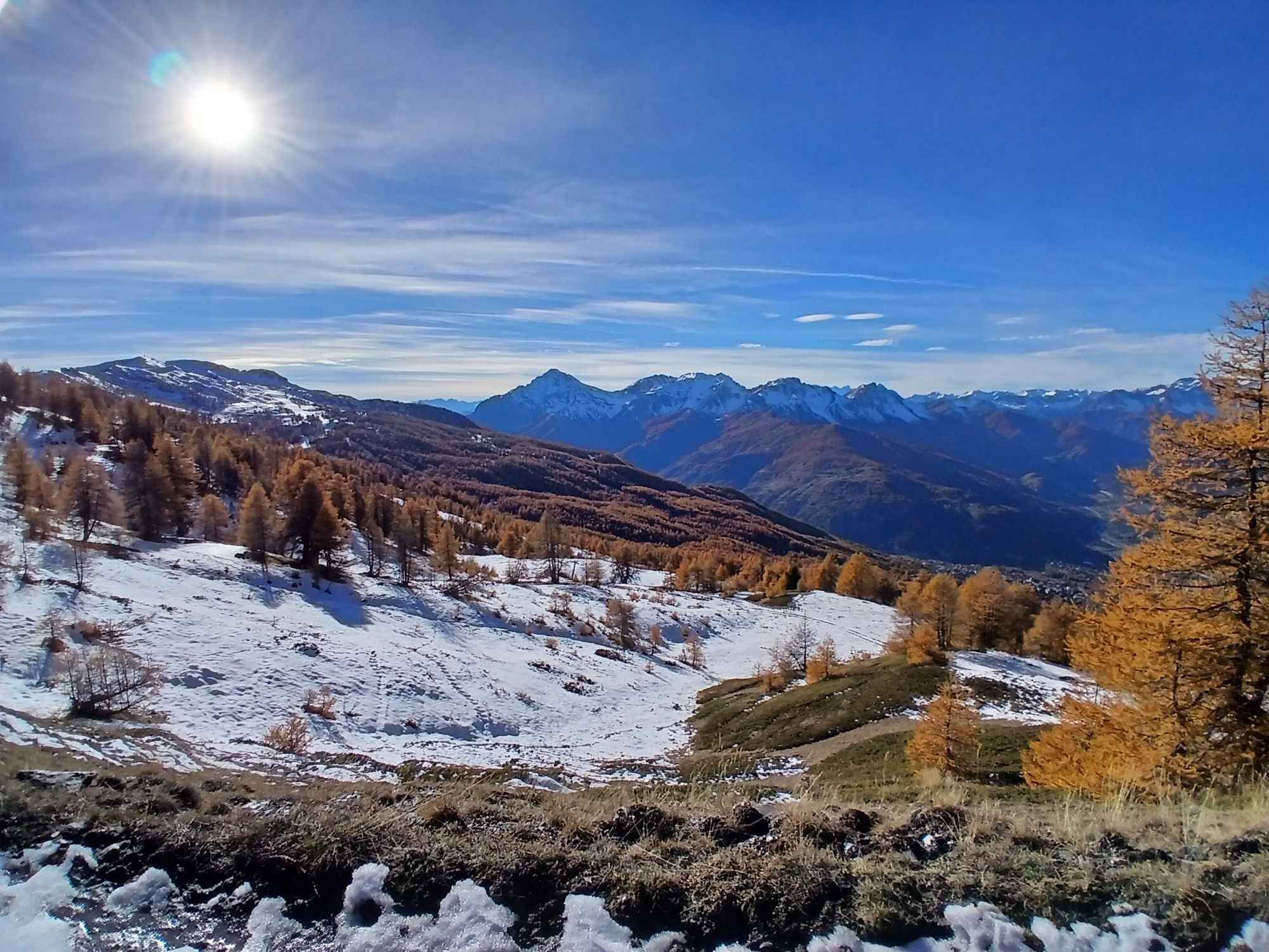
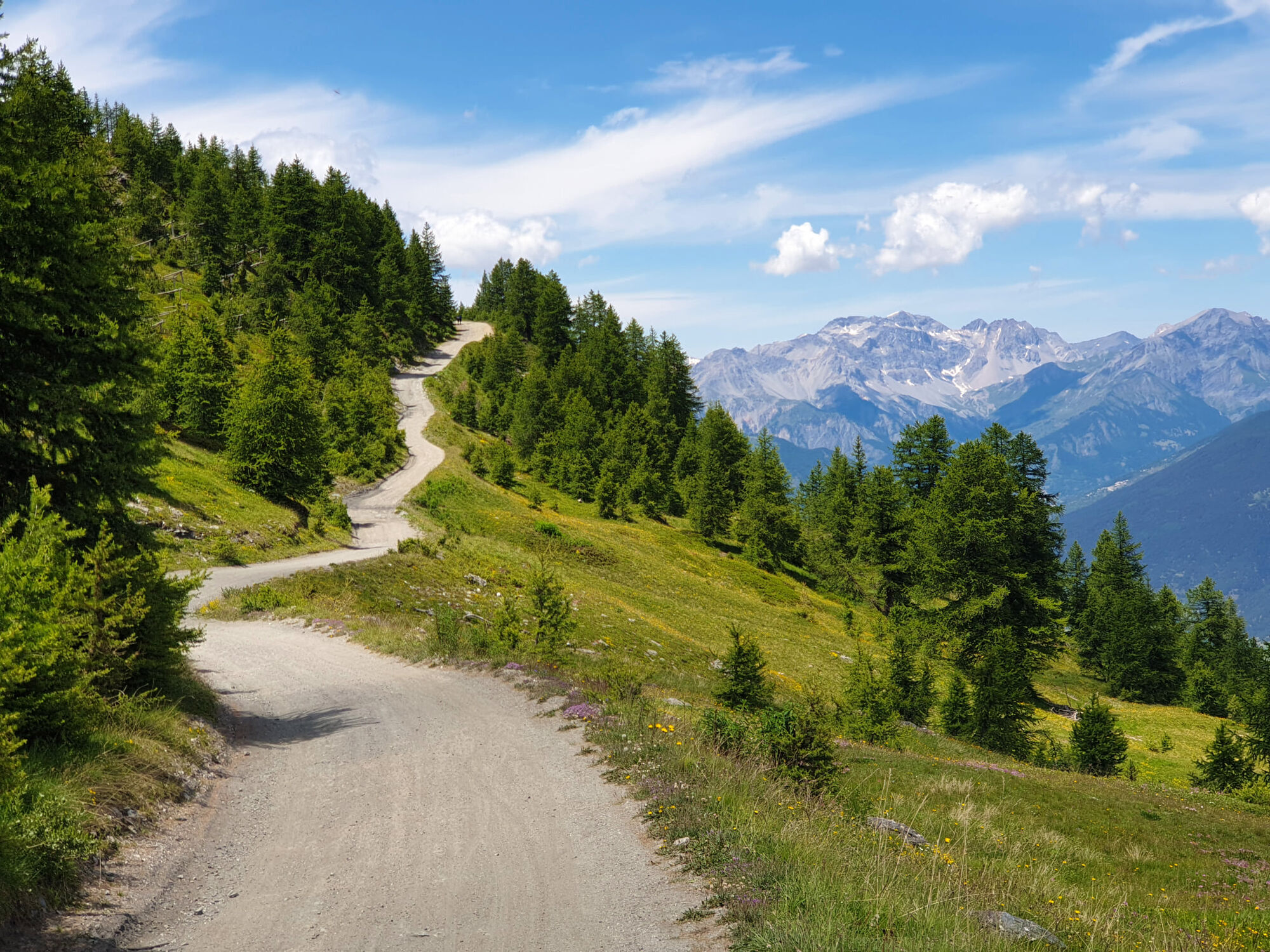
The spectacular setting and the 360° panorama make this route one of the most sought-after in the area. The climb, which mainly takes place on the forest road of the Gran Bosco di Salbertrand Nature Park, is demanding but can be covered in the saddle without major difficulties, except for short steep sections. The ridge road, after the descent from Monte Genevris, alternates descents, climbs and flat sections. From Col Basset to Sportinia and then to Sauze d'Oulx, the road is practically all downhill.
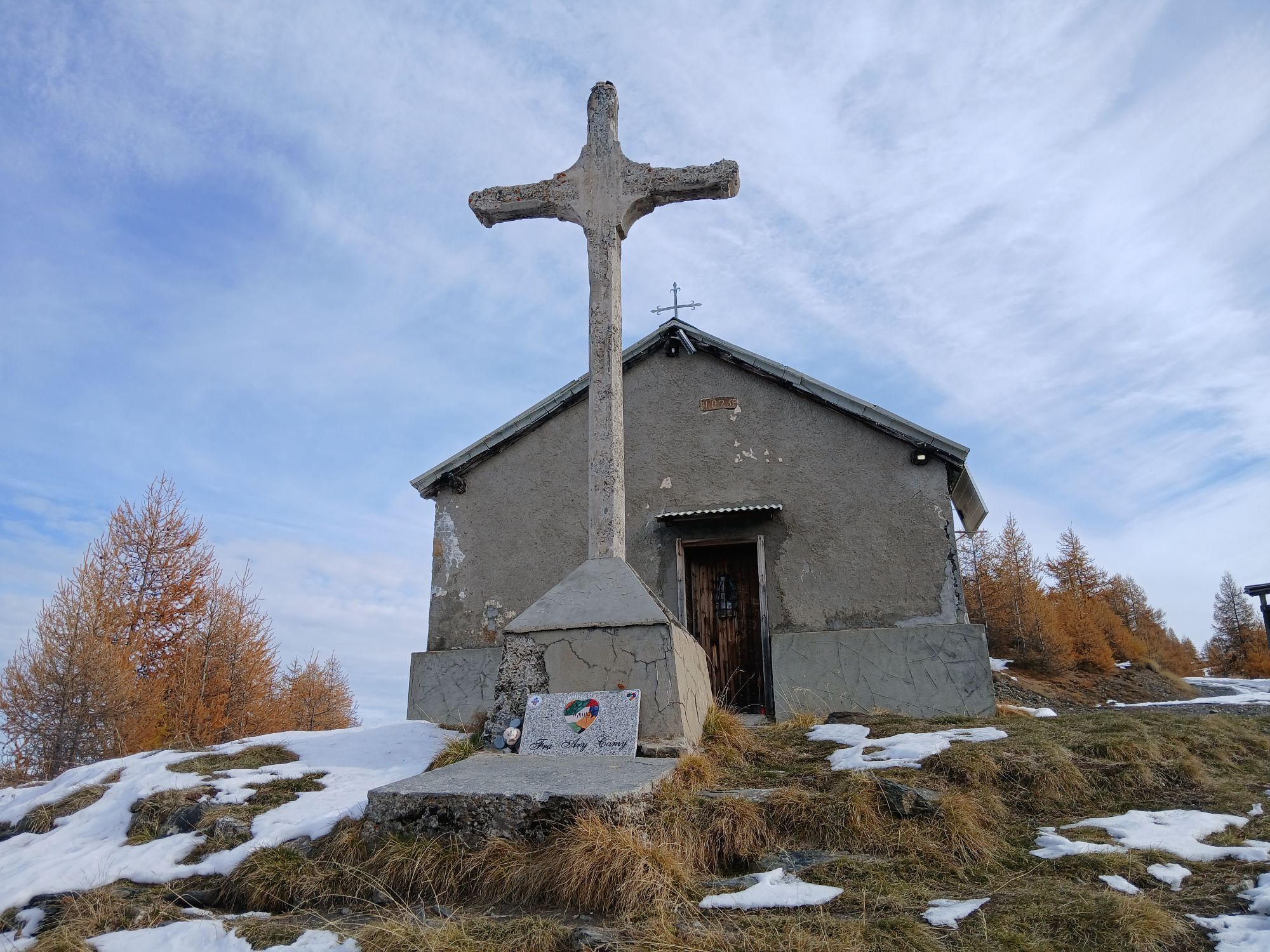
As a curiosity: the name ‘Via dei Saraceni’ (Saracen Way) derives from the fact that the Saracens, returning from their sackings in the lower valley, used to walk along the paths at high altitude and take refuge in the numerous caves and grottos found in this area.
Support and technical description by Guido Ambrosiani - MTB guide.


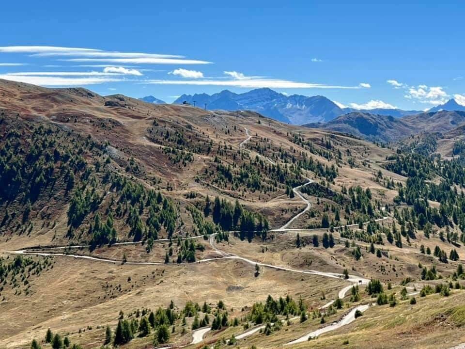
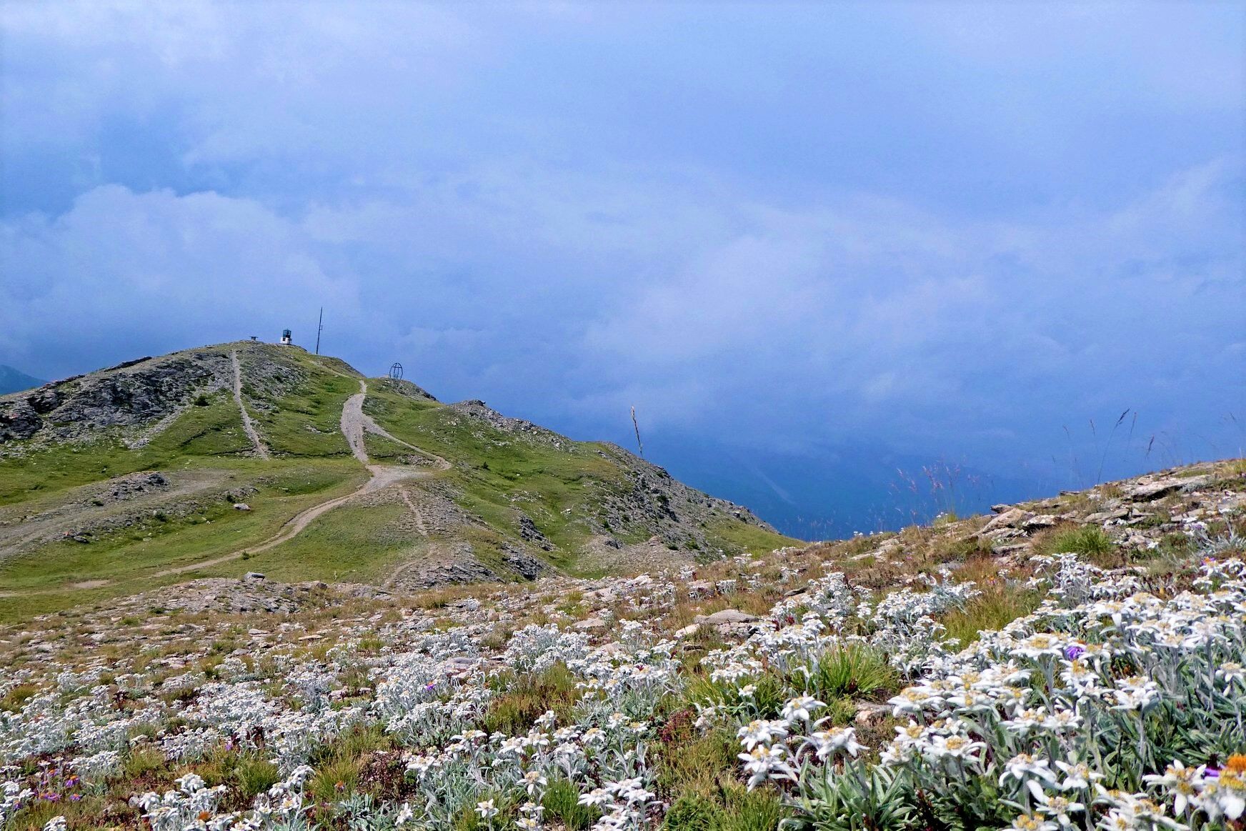
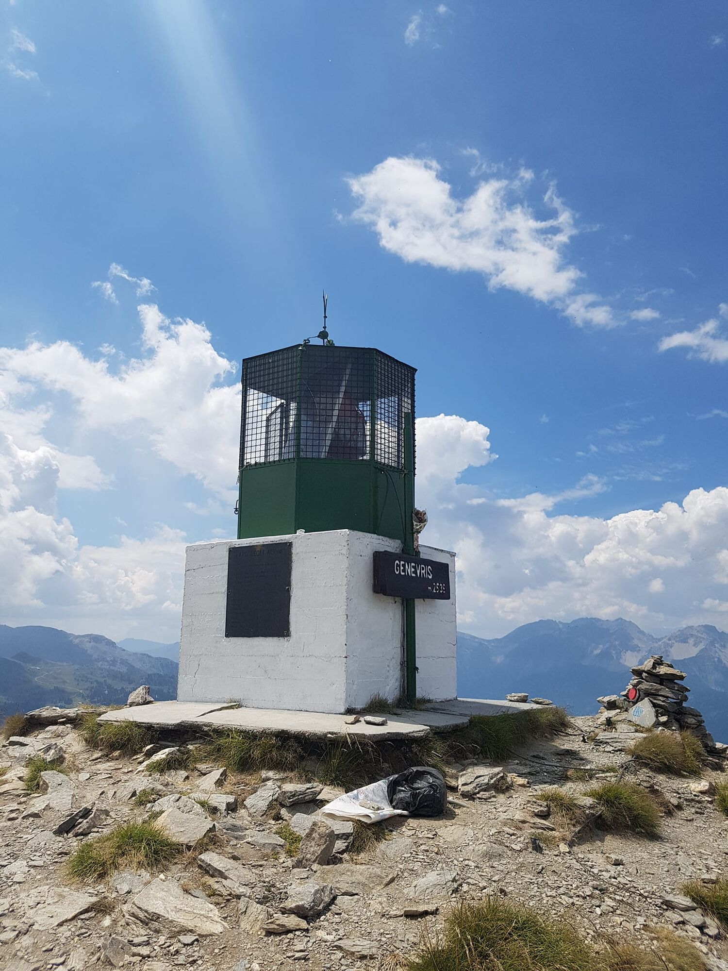

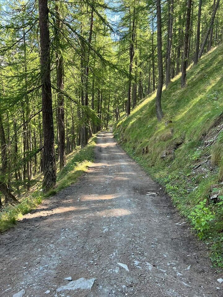

From the centre of Sauze d'Oulx, take the tarmac road to the hamlet of Monfol and continue along the dirt road to Ser Blanc, where the entrance to the Gran Bosco di Salbertrand Nature Park is located. At the crossroads, immediately after the barrier, continue straight ahead on the road to the right. After an initial flat and flowing stretch, you face the first climbs, some of which are quite demanding. Leaving the junction for Seu on the left, continue uphill until the fork that leads to the right towards Richardette. The route continues to the left, alternating between flat and steep stretches until reaching Col Blegier, passing by the Horseshoe. When we reach the Col, we turn right and follow a few hairpin bends until we reach the summit of Mont Genevris. From here we head between a succession of descents, climbs and flat sections, towards the Colle di Costa Piana, Colle Bourget until we reach Col Basset from where, turning right, we begin the descent towards Sportinia and Pian della Rocca. From Pian della Rocca we return to Sauze d'Oulx following the simple road towards the former Alpine Experimental Station and then Richardette.
Ano
MTB and e.Bike
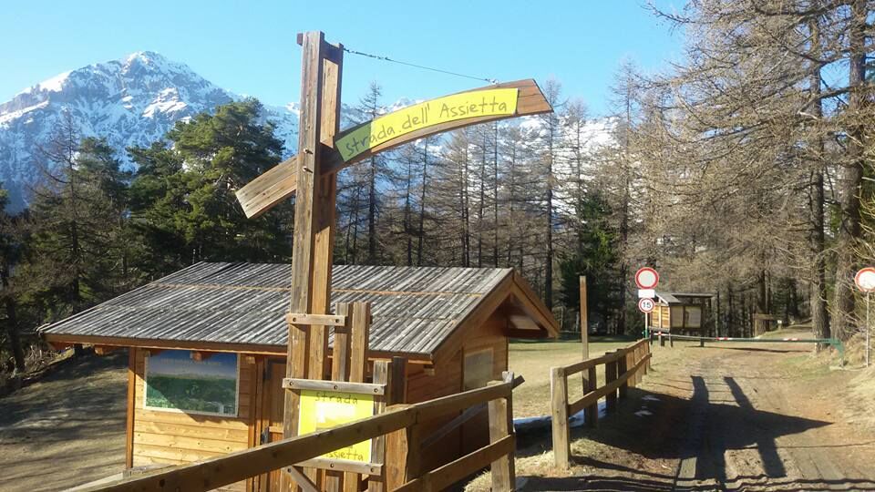
For more information - www.stradadellassietta.it.
By car from France: From the UK take the A 43 through the Frejus Tunnel (toll) then A32
By train: the mainline railway which connects Paris to Milan by TGV has a station in Oulx. Public transport and taxis services operate from Oulx station to Sauze d’Oulx. See also: www.snowcarbon.co.uk.
Genevris car park
From Pian della Rocca it is possible to return to Sauze d'Oulx by following
the road with little descent that leads to the former Alpine Experimental Station and then to Richardette
the road with little gradient leading to the former Alpine Experimental Station and then to Richardette, but at Alpe Gaggera turn left towards Ciao Pais, Clotes; the slightly steeper and more demanding route.
the difficult road near the Pian della Rocca reservoir (on the left) that leads towards Sarnas and Tachier and then back to Sauze d'Oulx.
Oblíbené prohlídky v okolí
-
5.0
BARDONECCHIA Colle Sommeiller
středníMountainbike 25.4 km -
5.0
BARDONECCHIA Forte Jafferau Loop
heavyMountainbike 36.8 km -
BARDONECCHIA Monte Jafferau
heavyTuristika 11.6 km -
5.0
SESTRIERE Monte Rognosa
heavyTuristika 6.42 km -
BARDONECCHIA - Loop Colle della Scala - Col de Montgenèvre - Colle del Sestriere
heavySilniční kolo 91.9 km -
5.0
CESANA T.SE Thures - Cima Bosco
heavySněžnice 3.94 km -
5.0
CESANA T.SE Cesana - Fenils
světloTuristika 4.60 km -
4.0
BARDONECCHIA Sentiero dei Cosetti by Luciano Ferraris
světloTuristika 3.24 km -
BARDONECCHIA Rochemolles Dam - Scarfiotti Refuge
středníTuristika 7.77 km -
5.0
BARDONECCHIA Decauville
světloSněžnice 4.11 km

Pěší turistika a stopování


Nenechte si ujít nabídky a inspiraci pro vaši příští dovolenou
Vaše e-mailová adresa byl přidán do poštovního seznamu.