







OULX Nature route Oulx - Bardonecchia

Úroveň obtížnosti: WT1
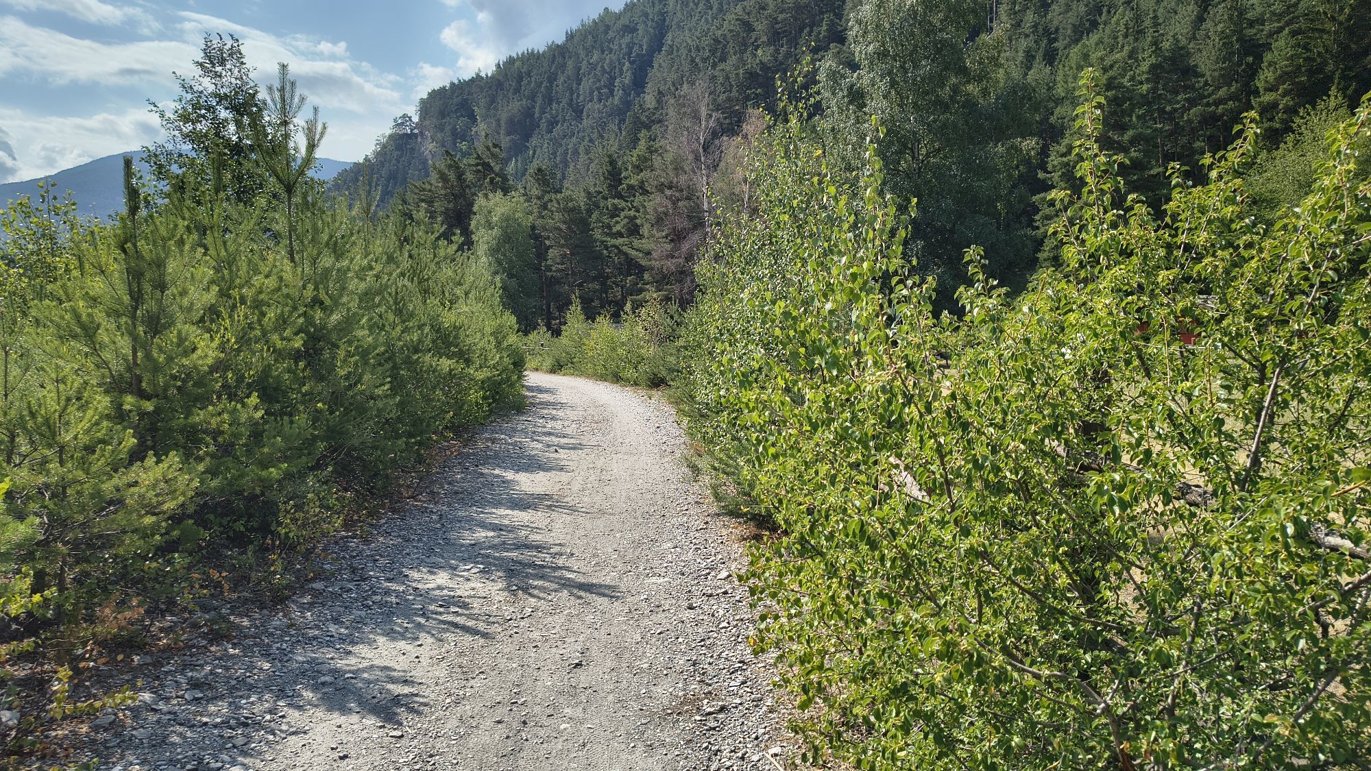
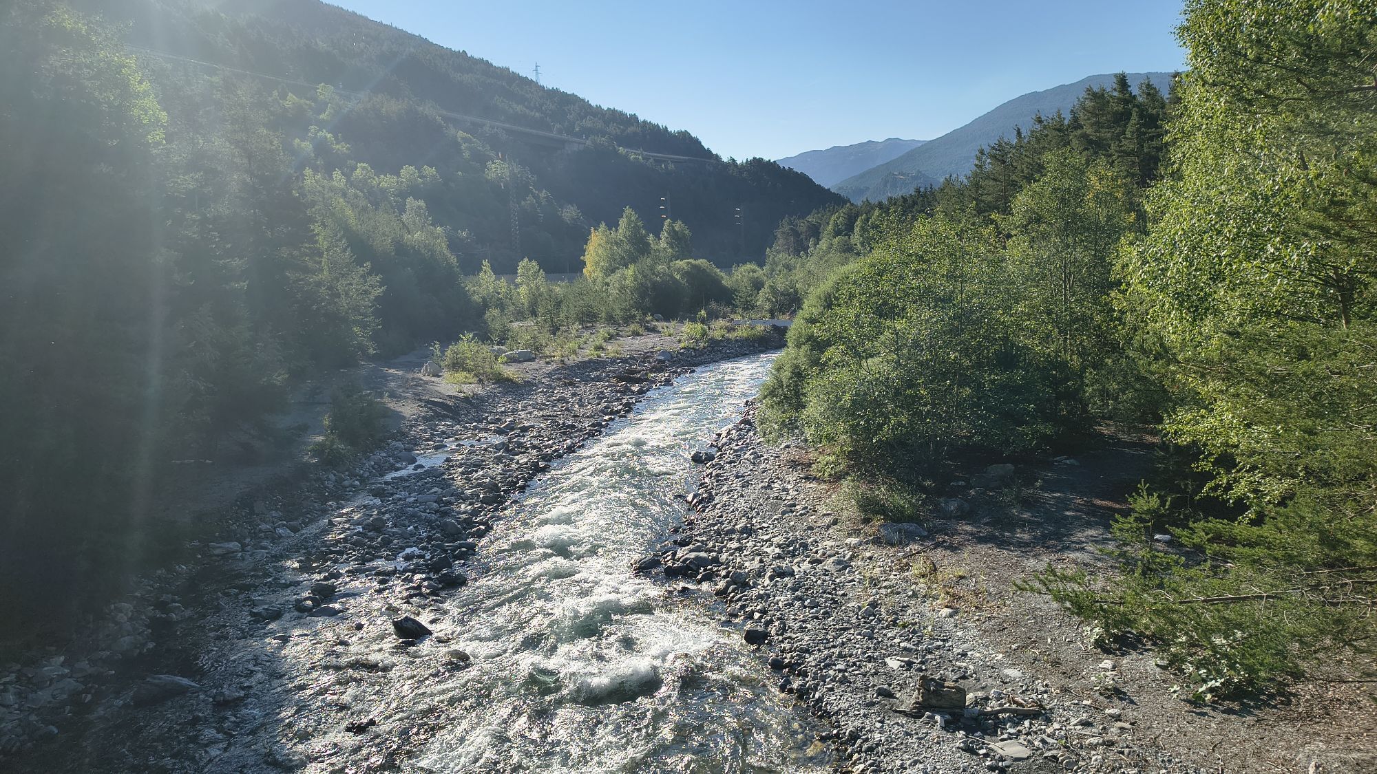
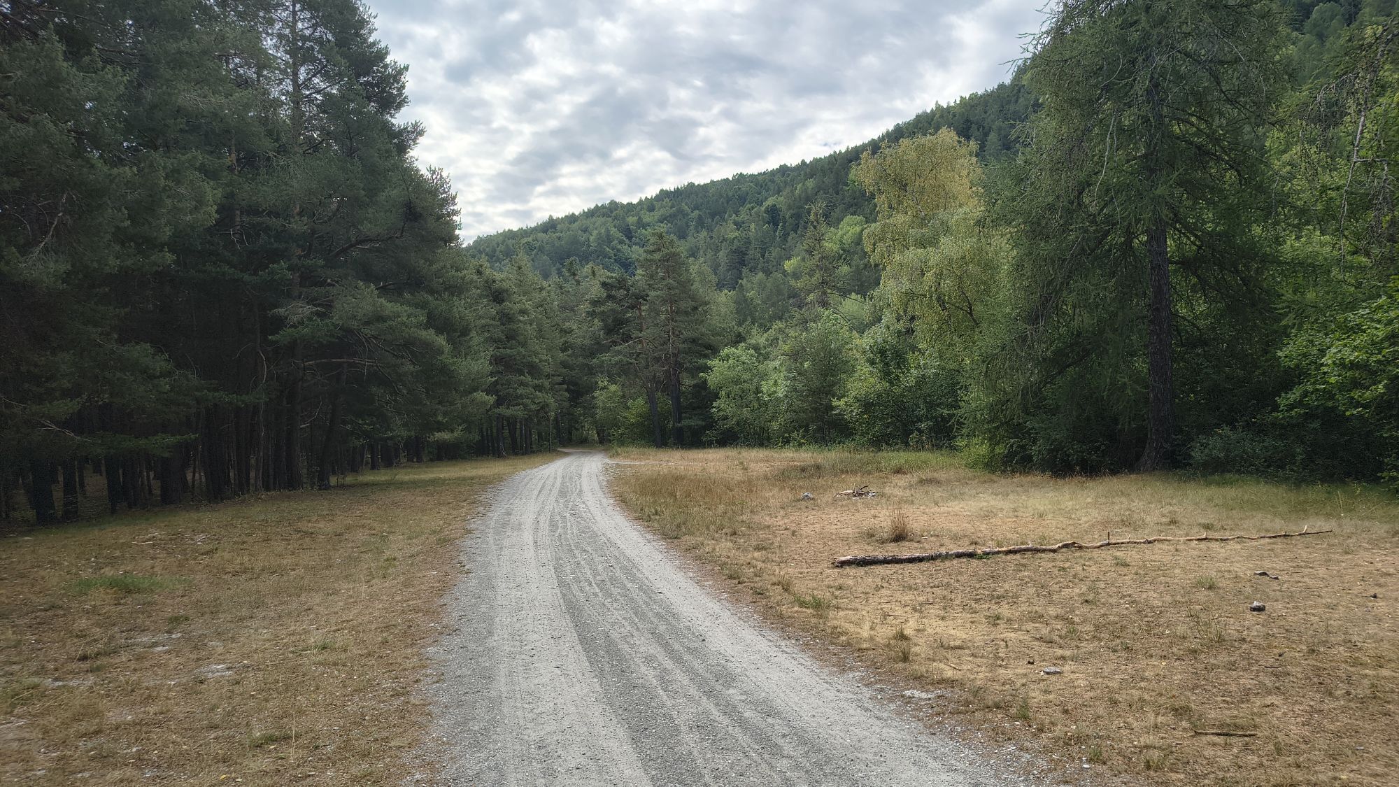
The route starts from Oulx, goes into the woods and crosses the hamlet of Beaulard until reaching the locality Rocca Tagliata.
At the height of the hamlet of Savoulx and the village of Royers, bridges...
The route starts from Oulx, goes into the woods and crosses the hamlet of Beaulard until reaching the locality Rocca Tagliata.
At the height of the hamlet of Savoulx and the village of Royers, bridges and underpasses allow crossing the river and the railway and joining the nearby state road.
Some noticeboards along the way illustrate the path, indicating the point where you are, and a sign every five hundred meters shows how much distance has been covered and how much remains to the destination.
The route, all on the flat, is also suitable for families with children.

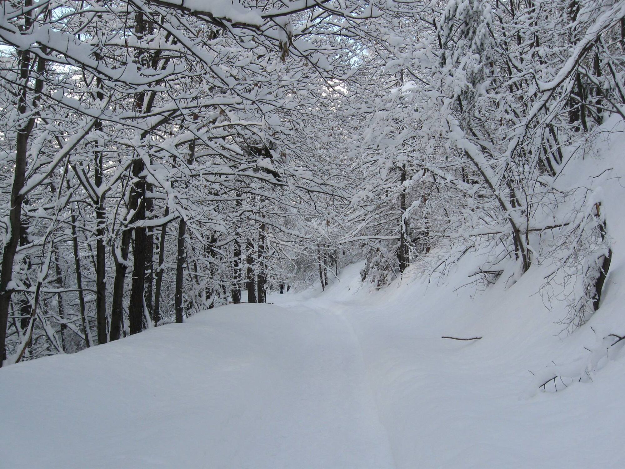
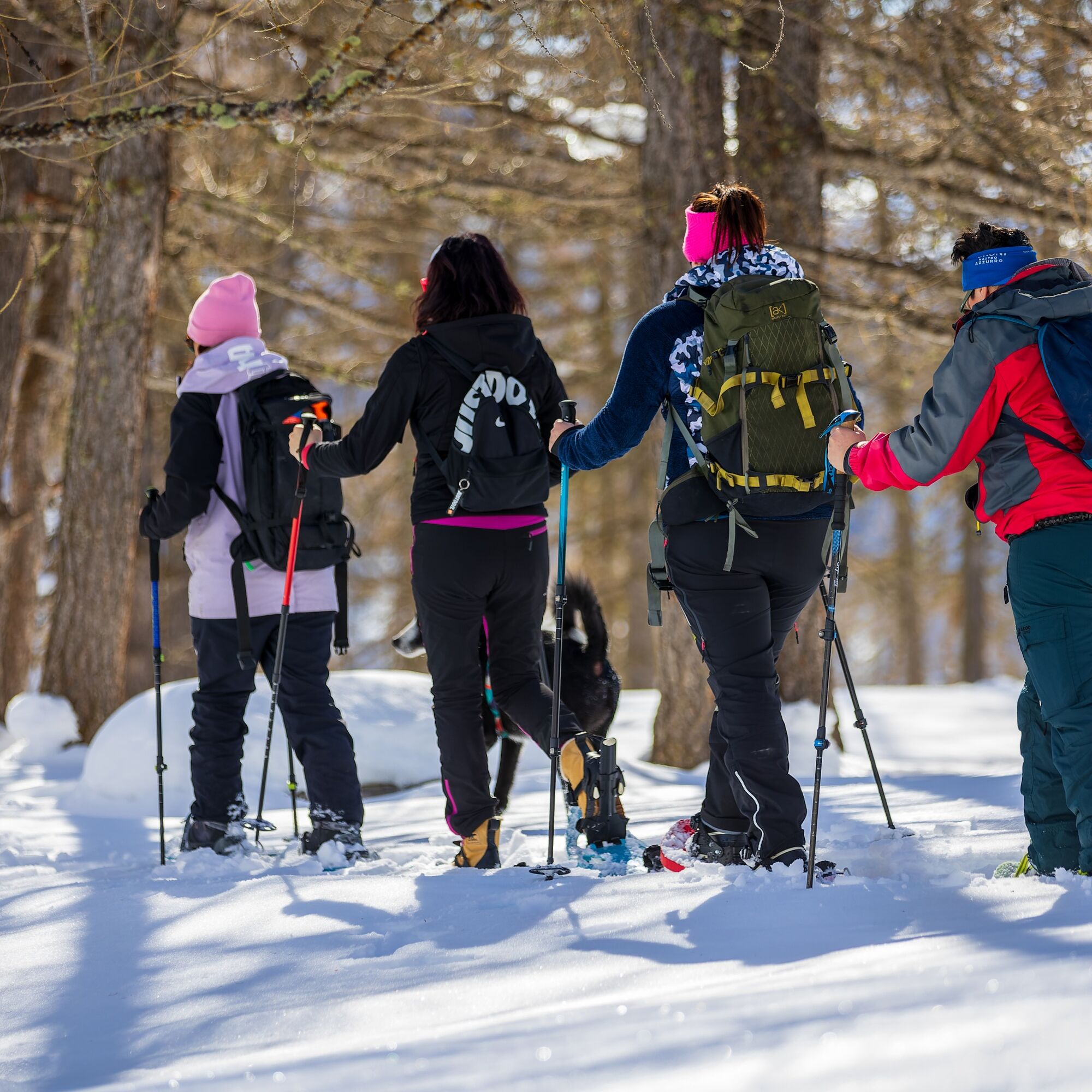

From Via dei Laghi take the path towards Lago Borello, follow the lake and join the trail that runs alongside the railway and the Dora di Bardonecchia. After a few meters, pass beside the Cappella Madonna della Neve and continue, ignoring the junction on the right for Savoulx. Upon reaching the hamlet of Beaulard, cross the settlement going straight along the river, cross the road at the level crossing and continue towards the Ristorante Vecchio Mulino. Ignore the junction for the village of Royers and proceed up to the locality Rocca Tagliata.
Ano
Clothing and footwear suitable for the winter mountain environment.
Snowshoes – poles - ARVA - Shovel - Probe (the hiking activity in snowy environments requires the use of electronic signaling and search systems as provided by Legislative Decree no. 40/2021 art. 26)
Before undertaking any excursion, it is recommended to:
- inquire at the Tourist Offices or Alpine Guides
- check the ARPA Piemonte weather and avalanche bulletins at www.arpa.piemonte.it/bollettini
In case of marked avalanche danger, it is not recommended to undertake any excursion.
The indicated trails are beaten exclusively by people walking: no mechanical daily or periodic maintenance and grooming service is provided.
The difficulty level indicated in each route may vary depending on the snow cover conditions.
By car:
- Autostrada A32 Torino - Bardonecchia, Bardonecchia exit
- State Road 24: Torino - Oulx and then State Road 335: Oulx - Bardonecchia
Once in Oulx, head towards Via dei Laghi
By train:
- line Torino Porta Nuova - Bardonecchia
Stop at Oulx station
Once in Oulx, head towards Via dei Laghi
There are some free parking spaces on Via dei Laghi.
WT1
This route is part of the trail network easily accessible from the Sentiero Italia.
Take a break on one of the benches along the route.
Webové kamery z prohlídky

Oblíbené prohlídky v okolí
-
5.0
BARDONECCHIA Colle Sommeiller
středníMountainbike 25.4 km -
4.5
BARDONECCHIA Pian del Colle - Valle Stretta
středníSněžnice 5.02 km -
5.0
BARDONECCHIA Forte Jafferau Loop
heavyMountainbike 36.8 km -
5.0
BARDONECCHIA Green Lake
světloTuristika 2.14 km -
4.7
BARDONECCHIA Col des Acles - Passo della Mulattiera
středníTuristika 6.23 km -
4.5
BARDONECCHIA Walter Bonatti Path - Grange della Rho
středníTuristika 6.06 km -
5.0
BARDONECCHIA Decauville
středníTuristika 7.29 km -
BARDONECCHIA - Loop Colle della Scala - Col de Montgenèvre - Colle del Sestriere
heavySilniční kolo 91.9 km -
5.0
La Via dei Saraceni (Sauze d'Oulx)
středníMountainbike 33.6 km -
BARDONECCHIA Monte Jafferau
heavyTuristika 11.6 km
Pěší turistika a stopování


Nenechte si ujít nabídky a inspiraci pro vaši příští dovolenou
Vaše e-mailová adresa byl přidán do poštovního seznamu.





