






CASTIGLIONE T.SE - Ups and downs around the Vaj Woods and the Bosc Grand
Úroveň obtížnosti: 1
The trail begins in Gassino T.se, but it is also possible to start from San Mauro or Turin, following the path of the Po River northward. Itinerary full of steep ramps along roads, mostly secondary, in...
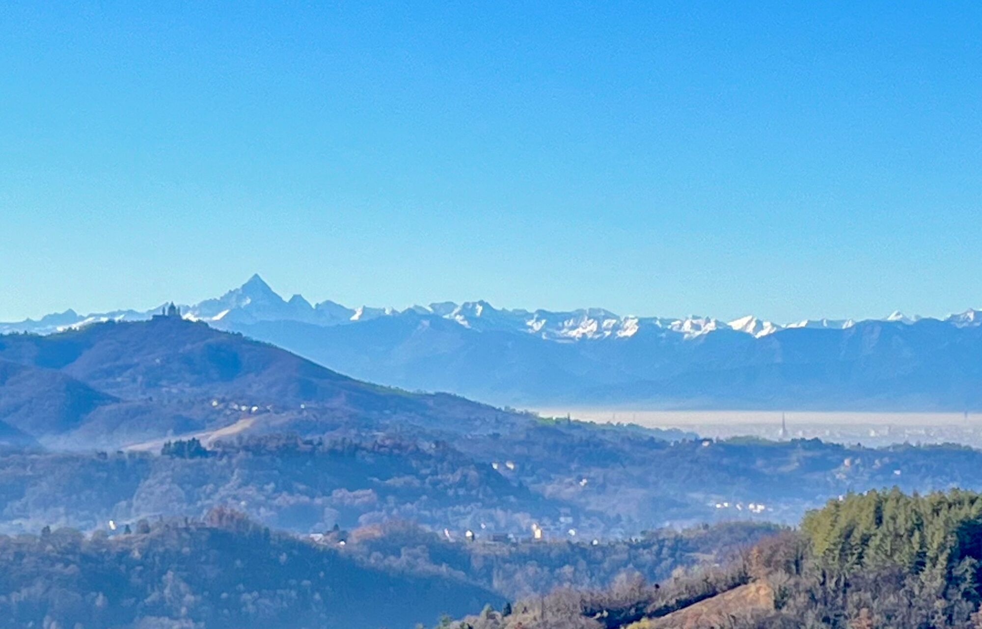
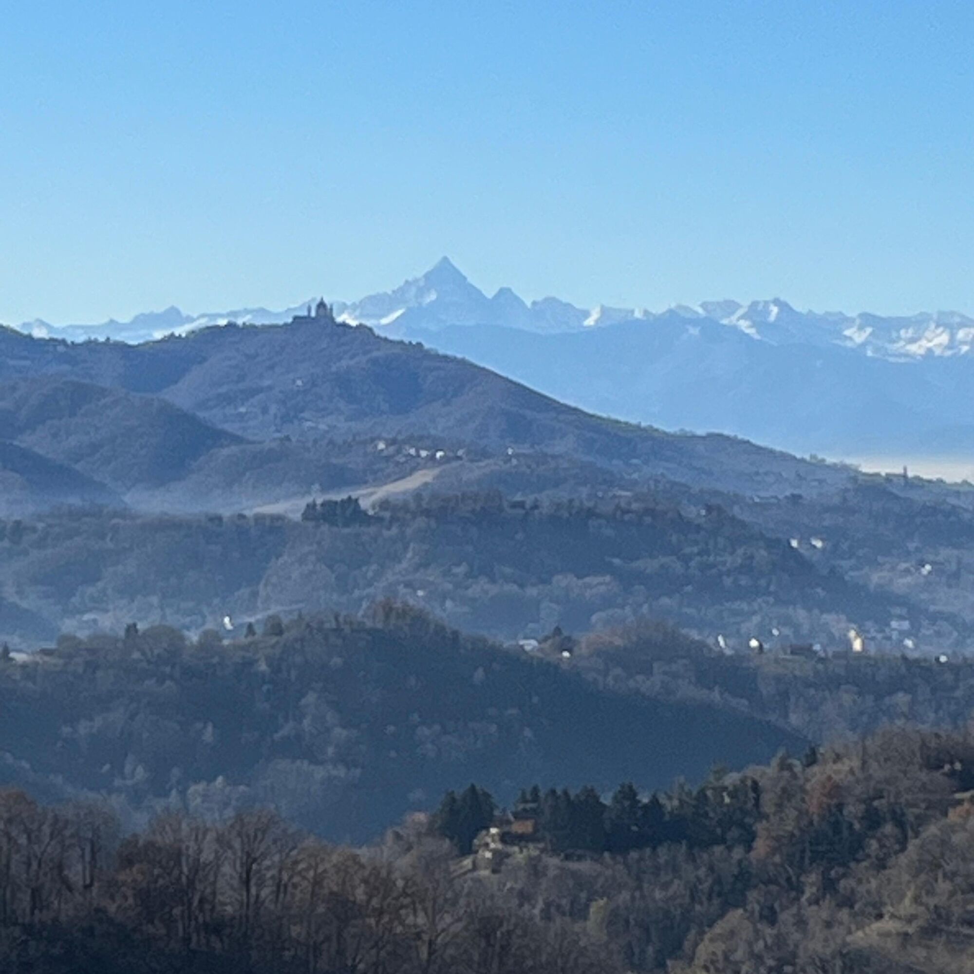
The trail begins in Gassino T.se, but it is also possible to start from San Mauro or Turin, following the path of the Po River northward. Itinerary full of steep ramps along roads, mostly secondary, in a hilly area with marvelous views of the plains and the Alpine arc. On clear days, from Cinzano and Casalborgone it is possible to admire the Matterhorn and Monte Rosa. Shortly after Gassino T.se, past the hamlet of La Piana, the longest climb of the itinerary begins, which in about 5 km leads to Castagneto Po. The second climb reaches Ozzano, before the flat stretch to Aramengo. After a bit of downhill and flat relaxation, there is still a climb up to Berzano San Pietro and a very short ramp, to reach the viewpoint of Cinzano. The return to the Po River bank is by secondary road to the gates of Sciolze and then along the provincial road to Gassino T.se.


Gassino - Casalborgone - Blue Way - Ozzano - Aramengo - Cinzano - Rivalba - Gassino.
Shortly after Gassino, past the hamlet of La Piana, the longest climb of the itinerary begins, leading in about 5 km to Castagneto Po. The second climb, after Casalborgone, follows the trail of the Piedmont Blue Way to reach Ozzano, before the flat stretch to Aramengo.After a bit of downhill and flat relaxation, there is one more climb to Berzano San Pietro and a very short, very steep ramp to reach the Cinzano lookout The return to the Po River bank takes place on a secondary road to the outskirts of Sciolze and then near Rivalba, on the valley floor road leading to Gassino T.se.
Racing bike, gravel bike, or bicycle touring bike. With e-bikes, climbs are tackled even by the less trained.
Be careful on descents, especially with wet asphalt.
From Turin, follow the road on the orographic right side of the Po River to Gassino.
By car to Gassino or by bicycle from Turin
Parking lot in front of the church of Saints Claudius and Dalmazzo, on Via Santa Maria in Gassino Torinese
1
Good athletic training required.
Oblíbené prohlídky v okolí
-
UNESCO Grand Cycling Tour
heavyCyklistika na velkou vzdálenost 659.6 km -
ANDEZENO - Panoramic loop towards Pino Torinese
středníJízda na kole 35.0 km -
CHIERI - Among vineyards, hills and history toward the Abbey of Vezzolano.
středníSilniční kolo 58.6 km -
CHIERI - Ring in the surroundings
středníJízda na kole 24.4 km -
CHIERI - Ring toward Pavarolo, Montaldo T.se and Andezeno
středníJízda na kole 32.9 km -
CASALBORGONE - Bosc Grand and Bosco del Vaj by MTB
středníMountainbike 22.6 km -
CHIERI - Loop towards Riva presso Chieri
Jízda na kole 32.5 km -
TURIN - Double loop with 3 adrenaline-pumping MTB descents
heavyMountainbike 25.9 km -
Cycling between Arignano, Moriondo and Mombello
středníCyklistika na velkou vzdálenost 28.1 km -
Cycle hiking ride between Montaldo, Andezeno and Pavarolo
středníMountainbike 21.2 km
Pěší turistika a stopování


Nenechte si ujít nabídky a inspiraci pro vaši příští dovolenou
Vaše e-mailová adresa byl přidán do poštovního seznamu.





