






TURIN - Two legendary climbs in only 40 km! Superga and "Hell of Pecetto"
Úroveň obtížnosti: 1
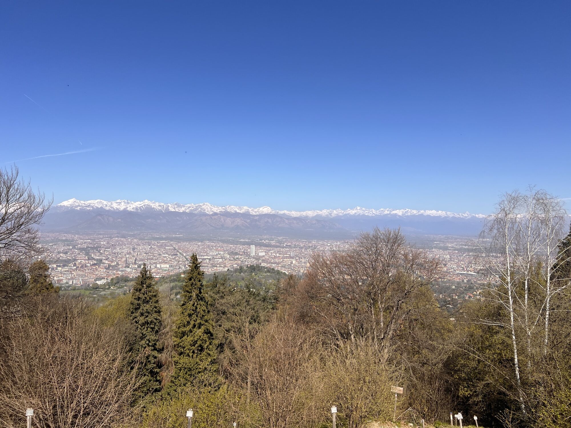
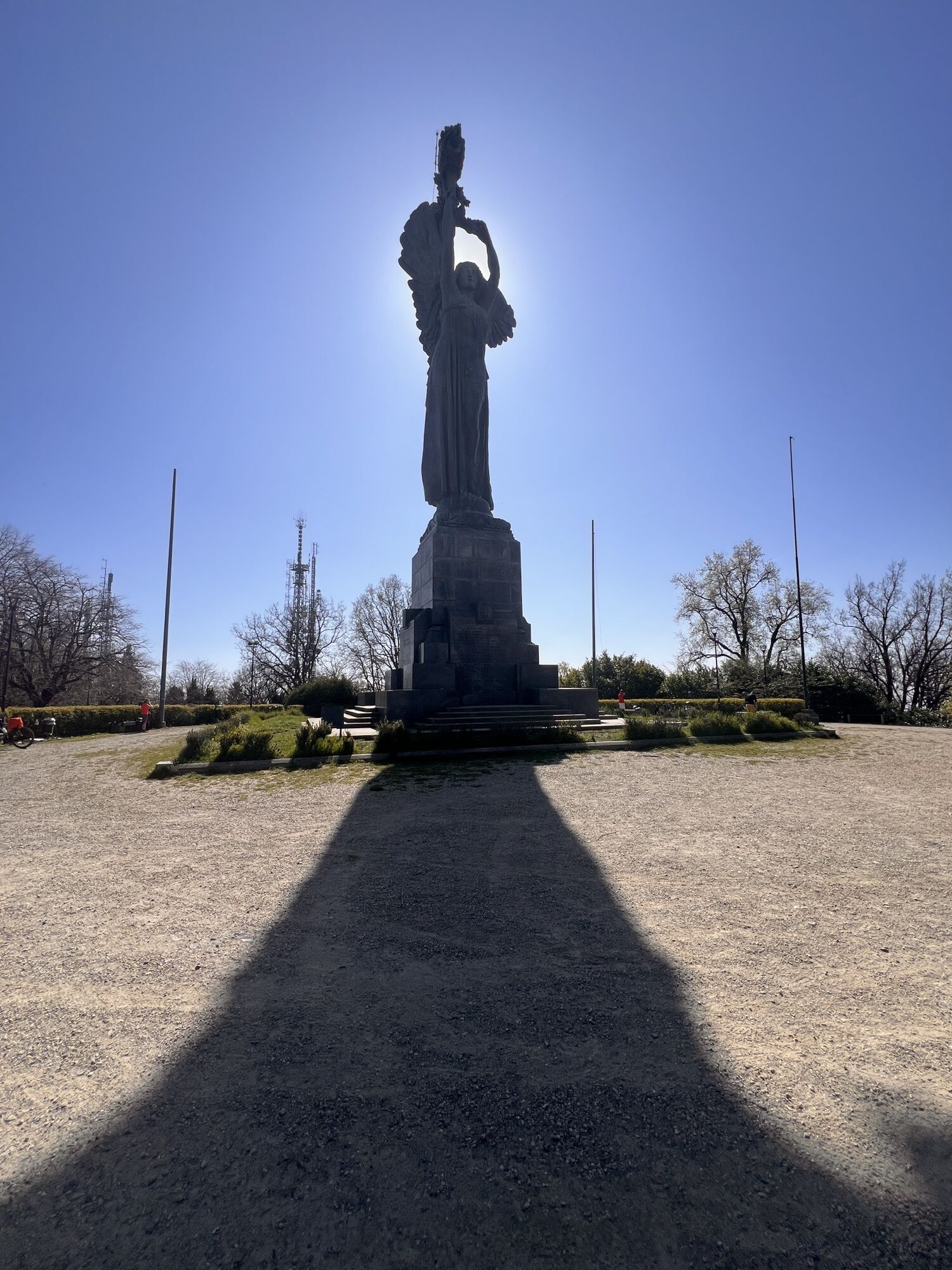
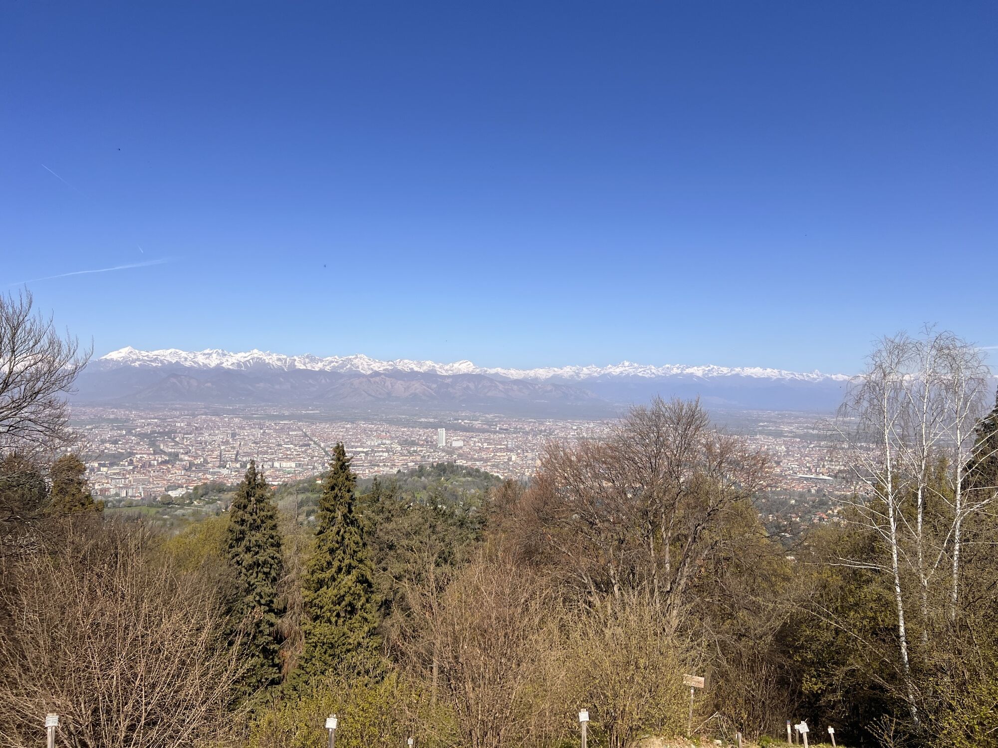
In less than 40 km, starting from the city center, you reach 1000m of elevation gain. The departure is from the Fausto Coppi Monument, opposite the Velodrome. The road route features two really challenging...
In less than 40 km, starting from the city center, you reach 1000m of elevation gain. The departure is from the Fausto Coppi Monument, opposite the Velodrome. The road route features two really challenging climbs, the stage of feats in a recent Giro d'Italia and many editions of the Milano-Torino. The climb to the Basilica of Superga and that of Via Allason-Strada della Vetta, nicknamed "the hell of Pecetto," with the interlude of the "panoramic" road of the Turin hill, are ideal terrain for those looking for a performance. The route is also suitable for a ride to be tackled calmly and with time available, with historical points of interest such as the Victory Lighthouse, as well as beautiful views over the city.

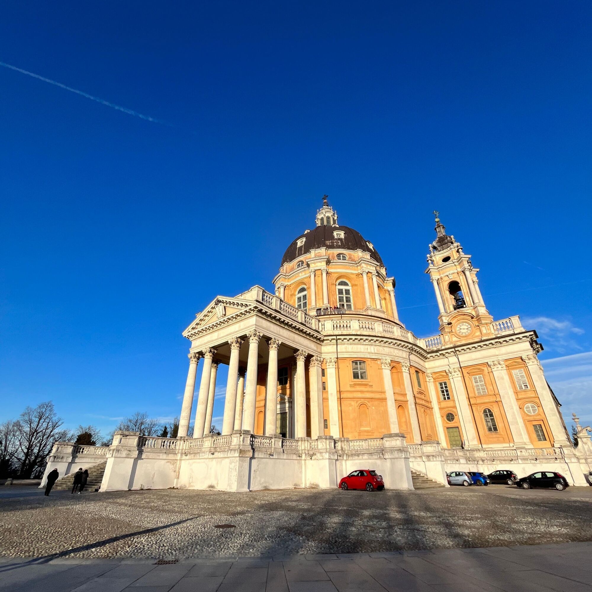

From the Fausto Coppi Velodrome start by riding along Corso Casale to Sassi. Immediately after the starting station of the Cremagliera, turn left and follow the signs to Superga. From the Basilica descend to the district of Superga, proceed along Via Superga for about 400m and then turn right onto Via dei Colli. Stay on Via dei Colli until Pino Torinese. In Pino T.se, turn left, heading south, on Via Pietra del Gallo, then Via Verdina and then downhill on Via San Felice, to the homonymous village. Then take the Chieri-Pecetto T.se road to Pecetto and then follow Strada dell'Eremo for about 500 meters. Turn left onto Via Allason and face the very steep climb that leads back in about 1.5 km to the panoramic road. Turn left and continue on the Panoramica up to the Victory Lighthouse, located on the Maddalena hill. Begin the descent towards Turin along Strada San Vito Revigliasco, Strada Valsalice, and Viale Thovez. Turn right on Corso Lanza and reach Monte dei Cappuccini. Descend Corso Moncalieri and continue along the Po until returning to the Velodrome, the starting point.
Ano
Ano
Road bike or Mountain Bike. Even on asphalt, the short gears of the MTB can be useful
Be careful on hairpin turns downhill.
1
Face the climbs with suitable gears and/or trained legs.
Oblíbené prohlídky v okolí
-
MONCALIERI - Biking on the water: Le Vallere and Valentino Park
světloJízda na kole 17.0 km -
ANDEZENO - Panoramic loop towards Pino Torinese
středníJízda na kole 35.0 km -
CAMBIAN toward Riva presso Chieri
světloJízda na kole 22.8 km -
CHIERI - Among vineyards, hills and history toward the Abbey of Vezzolano.
středníSilniční kolo 58.6 km -
CHIERI - Ring in the surroundings
středníJízda na kole 24.4 km -
TURIN - The tour of the Turin hillside on the "scenic road"
středníSilniční kolo 36.7 km -
Gran Gravel Tour in the Oltre Collina Torinese in 4 stages
heavyCyklistika na velkou vzdálenost 228.0 km -
CHIERI - Ring toward Pavarolo, Montaldo T.se and Andezeno
středníJízda na kole 32.9 km -
Cycling in the round, in the Stupinigi Nature Park
světloCyklistika na velkou vzdálenost 14.9 km -
How to get to Stupinigi Nature Park
Turistika 2.22 km

Pěší turistika a stopování


Nenechte si ujít nabídky a inspiraci pro vaši příští dovolenou
Vaše e-mailová adresa byl přidán do poštovního seznamu.





