







ALA DI STURA Pian della Mussa through Al-Ba
Úroveň obtížnosti: 3
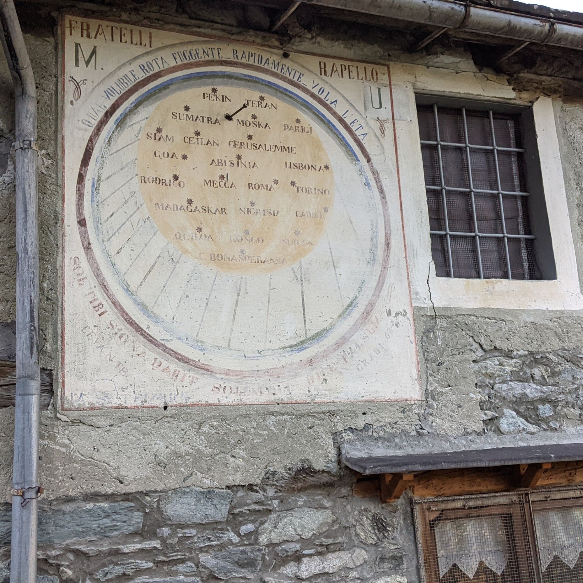
The departure takes place from the center of Ala di Stura, the town of sundials and frescoes, which can be admired on the facades of houses in almost all the hamlets. The climb to Balme takes place along...
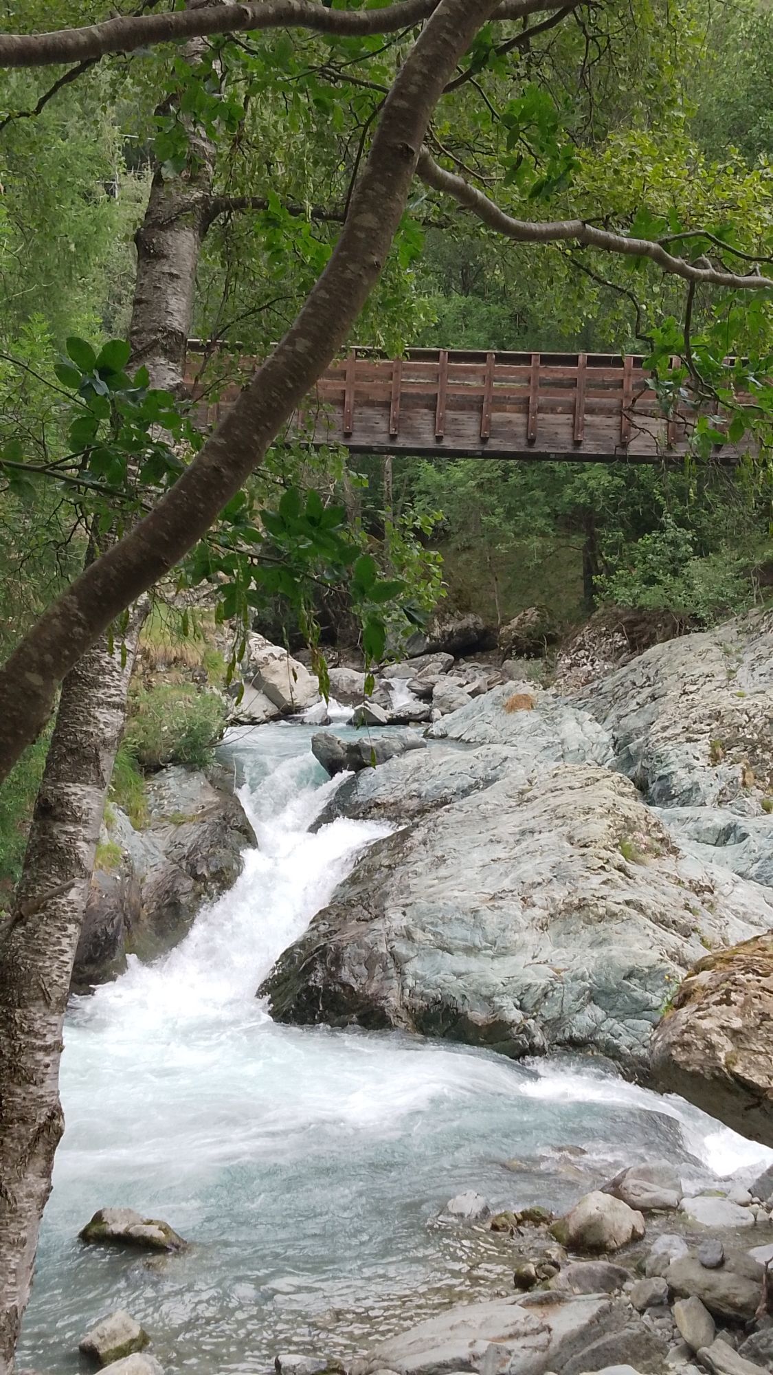
The departure takes place from the center of Ala di Stura, the town of sundials and frescoes, which can be admired on the facades of houses in almost all the hamlets. The climb to Balme takes place along the "Al-Ba" nature trail that crosses beech woods, pastures and typical alpine hamlets. Before reaching Mondrone, there is a short detour to the Gorgia: a waterfall of the Stura stream through a deep crack in the rock.
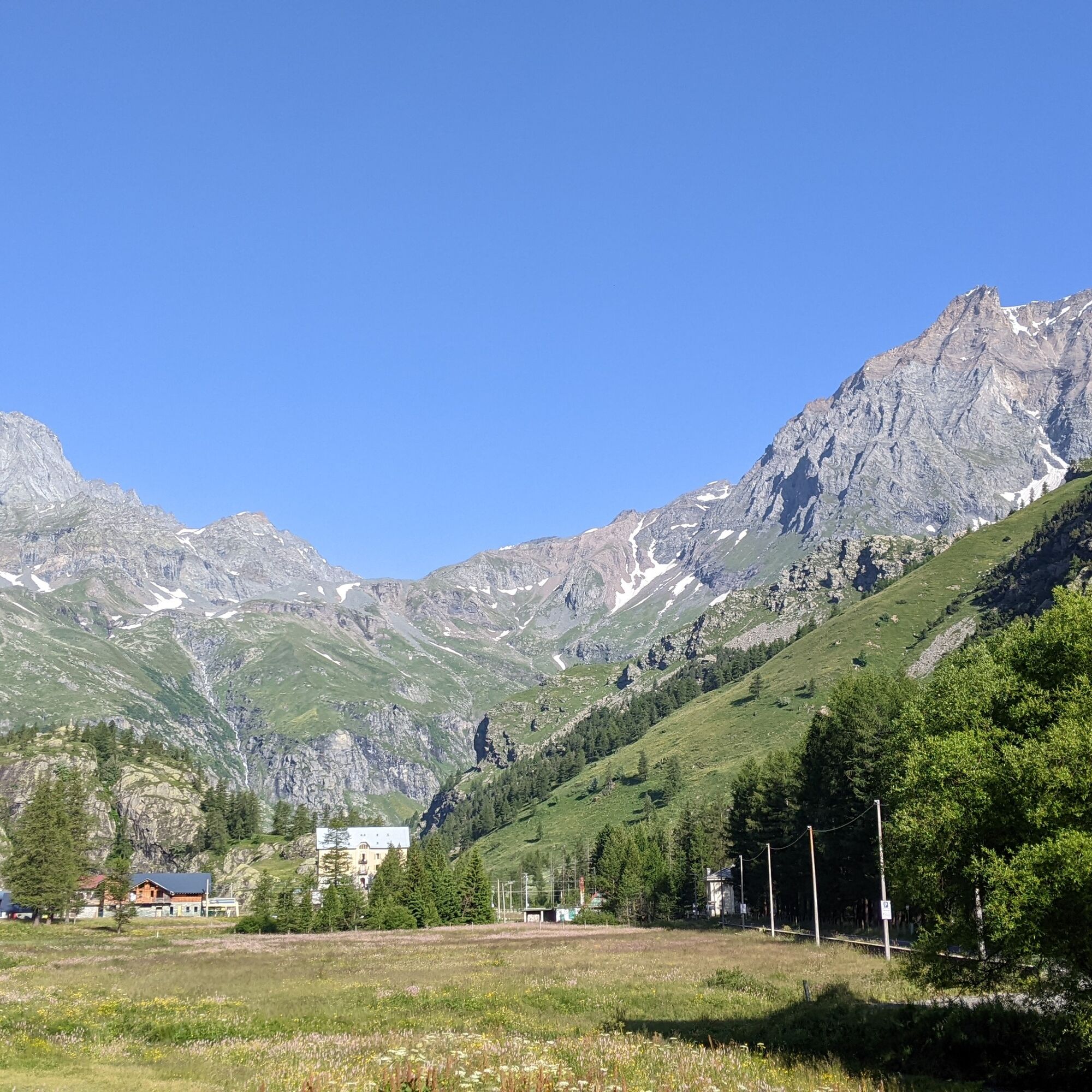
Balme is the last inhabited village all year round in the valley and has received the title of "Alpinists' village" for its alpinistic history and sustainable approach to tourism. There is a detour along the Val Servin Nature Trail, a small side valley rich in water. You return to Balme village, pass near another gorge before undertaking the final climb. Always on an unpaved road, you arrive at Pian della Mussa, a large plateau before the valley head with peaks exceeding 3600 m in height.

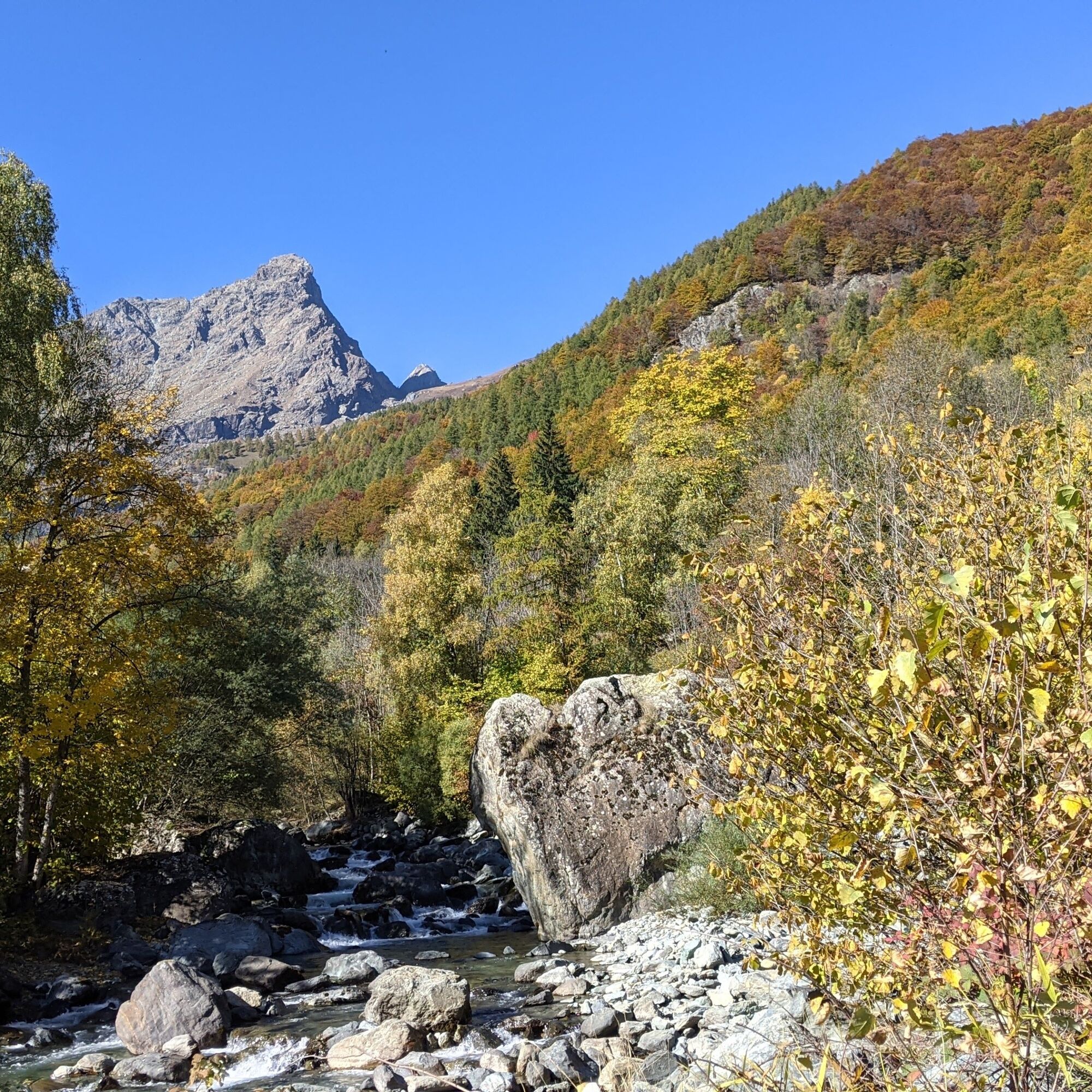
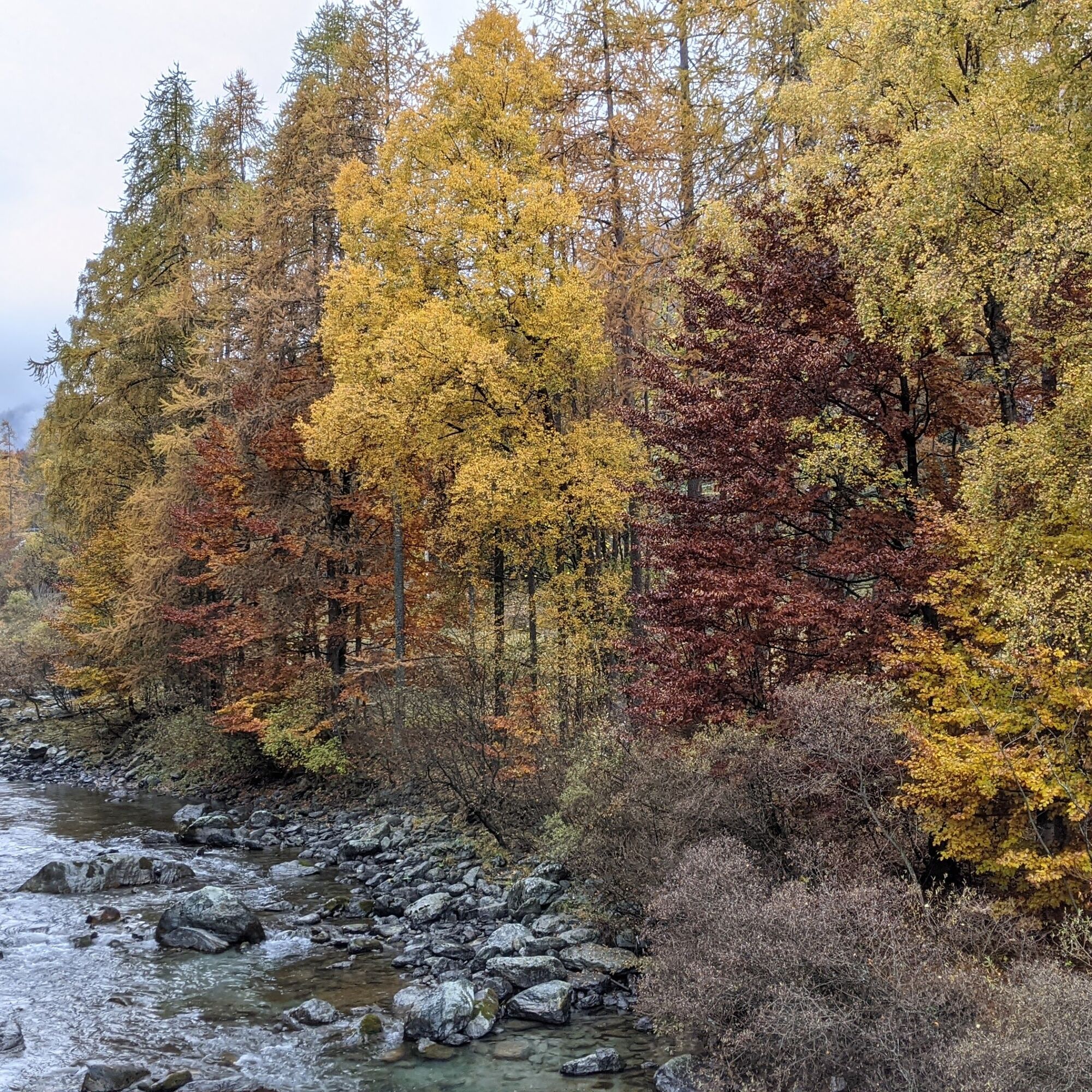

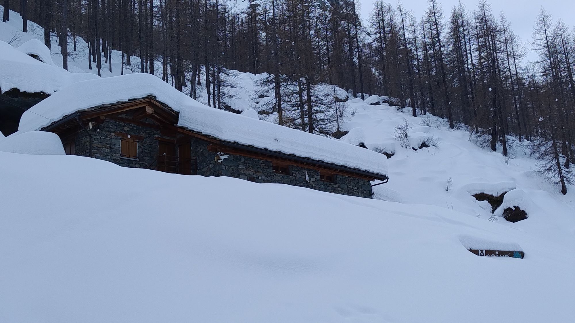
From the central square head towards Balme, at the first bend of the provincial road continue straight on via Villar to follow until the road becomes unpaved. Then continue on the unpaved road staying on the left bank of the Stura stream. At the bridge in the Tumà hamlet, turn right and reach the houses. At the first houses turn left and continue on the path until the short detour on the left to the Mondrone Gorgia. Returning back, head towards Mondrone turning left again to pass next to the cemetery, a giant bench and a playground. The route then overcomes a short but steep climb on a meadow before resuming westward direction. The path crosses the stream with two concrete fords, passes under the provincial road and just after the bridge turns right to reach the old provincial road. Turn left to the houses of Chialambertetto, where you turn left and reach the provincial road.
Cross the main road to gain the path that reaches the beginning of Balme. Before reaching the houses, make a sharp left curve to join the Val Servin Nature Trail. Continue on the white road which further ahead crosses the Paschiet stream with a ford on the right. Turn right again crossing the stream and then left arriving next to the houses of Li Fré. Climb to the Arbosetta alpine pasture: go behind the buildings where a path starts that leads to the arrival of the small Pakinò ski lift. Descend on the meadows to the right of the ski tow and intercept the path that enters the forest to the left. You arrive at the "Patinoir" where the unpaved road leading to Pian della Mussa begins. Upon reaching the plateau's asphalt road, for those who want, there are still a couple of kilometers to reach the end where the road finishes.
For the return, follow the same itinerary to the Balme ski slope, which must be crossed to reach the Cornetti hamlet and, paying attention to residents and holidaymakers, reach the Cornetti road. Turn left and at the first fork turn right: crossing a small bridge over the Paschiet stream you arrive at the Albaron Village where, immediately after the Albaron di Savoia restaurant, turn right on a white road and shortly after left to resume the ascent route. Then retrace the outward route to the Tumà bridge which this time must be crossed. Then keep left, descend again to the next bridge: cross it, turn right and continue to the village of Ala.
In any case, there are numerous connections with the provincial road from start to finish, so it is possible to travel it to shorten times.
Ano
Bicycle helmet, bicycle pump, puncture repair kit, light and reflectors, bicycle tools, bicycle backpack (about 20 litres with rain cover).
Suitable outdoor clothing resistant to multiple layers (e.g. functional T-shirt, cycling jersey, shorts, leg warmers and arm warmers), cycling glasses, gloves, sun and rain protection, snacks and drinking water, water bottle and comfortable holder, first aid kit, synthetic ice pack, mobile phone, maps.
From the plain, reach Lanzo Torinese. Continue to follow provincial road 1 up to Ala di Stura
To reach Ala di Stura there is the Ceres - Balme bus line with a stop at the central square with three runs per day (bicycle transport is not provided).
For the bus timetable: Cavourese website
In Ala di Stura there is a large parking area just before the central square on the left
3
For tourist information about the valleys and e-bike rental: Consorzio Operatori Turistici Valli di Lanzo - www.turismovallidilanzo.it
Oblíbené prohlídky v okolí
-
5.0
CERESOLE REALE Bellagarda ponds
středníTuristika 7.60 km -
5.0
BALME Green Lakes and Lago Paschiet
středníTuristika 7.51 km -
5.0
The Grand Méan lake via the Evettes circus
heavyTuristika 13.6 km -
CERES Santa Cristina Loop
středníTuristika 7.84 km -
5.0
BALME Arnas Ring - Pian della Mussa
heavyTuristika 13.6 km -
5.0
LEMIE Ovarda Lakes loop
heavyTuristika 15.9 km -
4.7
High Way of the Lanzo Valleys | Stage 6 Tazzetti Refuge - Lake of Malciaussia
středníTuristika 5.49 km -
USSEGLIO Lake Nero from Lake Malciaussia
světloTuristika 4.79 km -
5.0
Alta Via delle Valli di Lanzo | Stage 4 Rifugio Citt di Ciri - Rifugio Cibrario
heavyTuristika 12.0 km -
Lake Dres - Ceresole Reale
středníTuristika 7.24 km
Pěší turistika a stopování


Nenechte si ujít nabídky a inspiraci pro vaši příští dovolenou
Vaše e-mailová adresa byl přidán do poštovního seznamu.





