







BOBBIO PELLICE Upslowtour - Ring 1 Bancet-Content
Úroveň obtížnosti: 6
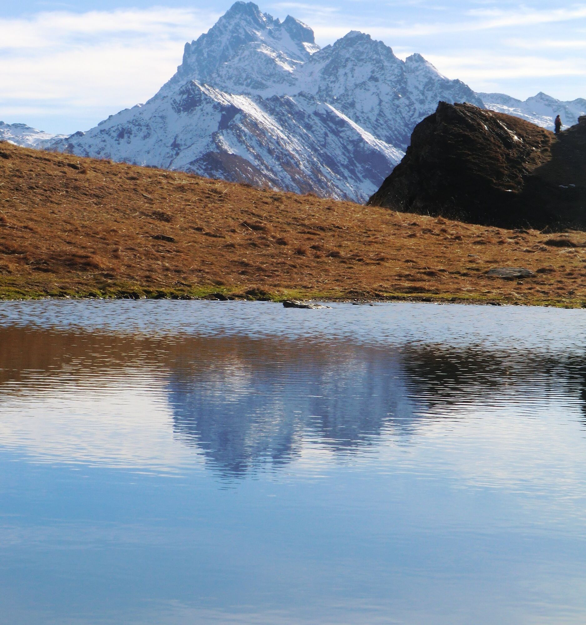
The ring climbs, with a long and tortuous dirt road, from the valley floor up to Colletta delle Faure, from where you can admire the whole Val Pellice and, right in front of us, his majesty Monviso. Then...
The ring climbs, with a long and tortuous dirt road, from the valley floor up to Colletta delle Faure, from where you can admire the whole Val Pellice and, right in front of us, his majesty Monviso. Then it reaches Alpe Bancet (2,247 m), the highest point of the itinerary, after over 1,000 meters of elevation gain from the start.
The descent first touches Col Content, from which you can observe from above the basin of Prà, as well as the remains of bunkers and military positions dating back to the Second World War. From here you descend on a fairly challenging path on a trail that leads to Alpe Crosenna (1,660 m) and then continue on a technical mule track up to the intersection with the dirt track that returns to Villanova.
A branch allows reaching the Bergerie Giulian: from here, if desired, it is possible to climb to Col Giulian (2,451 m), crossing into Val Germanasca and continuing towards the Thirteen Lakes or the Gran Guglia.

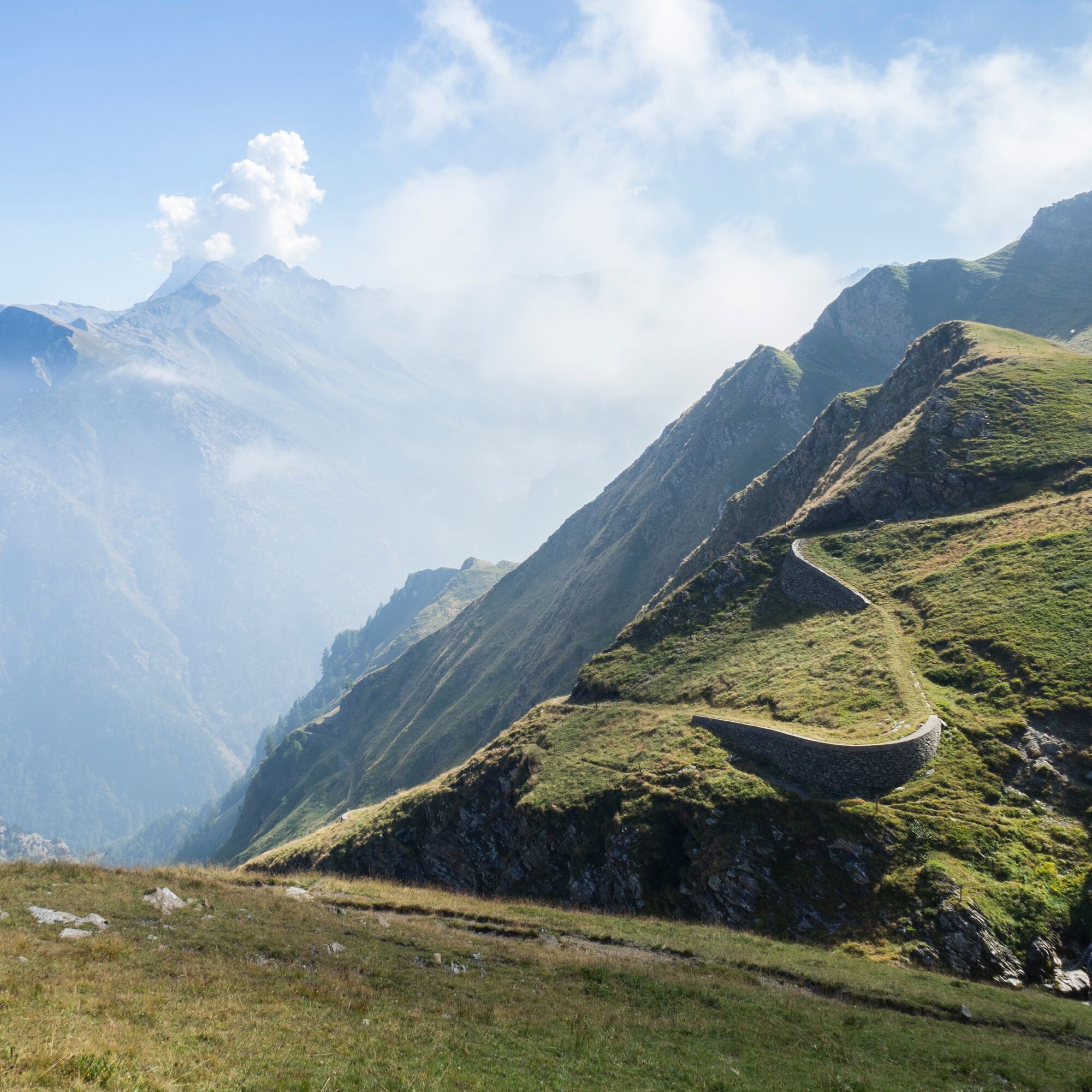
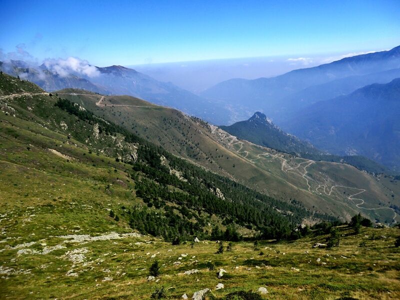
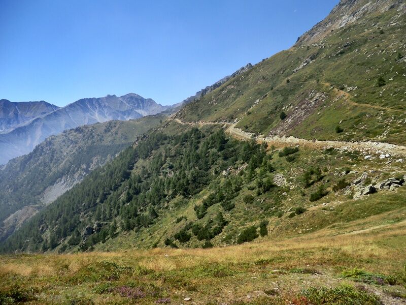
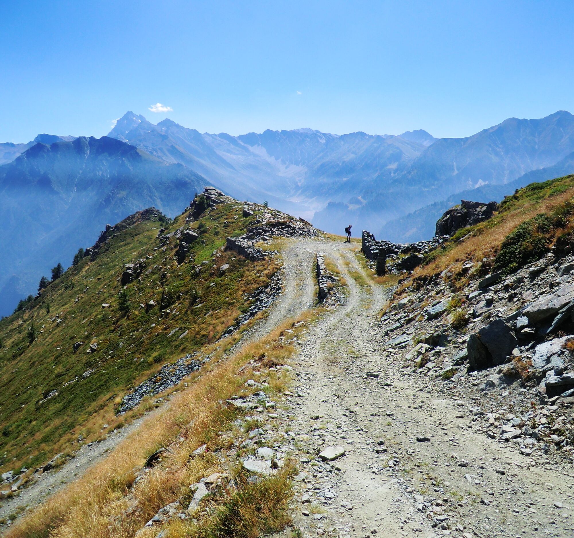
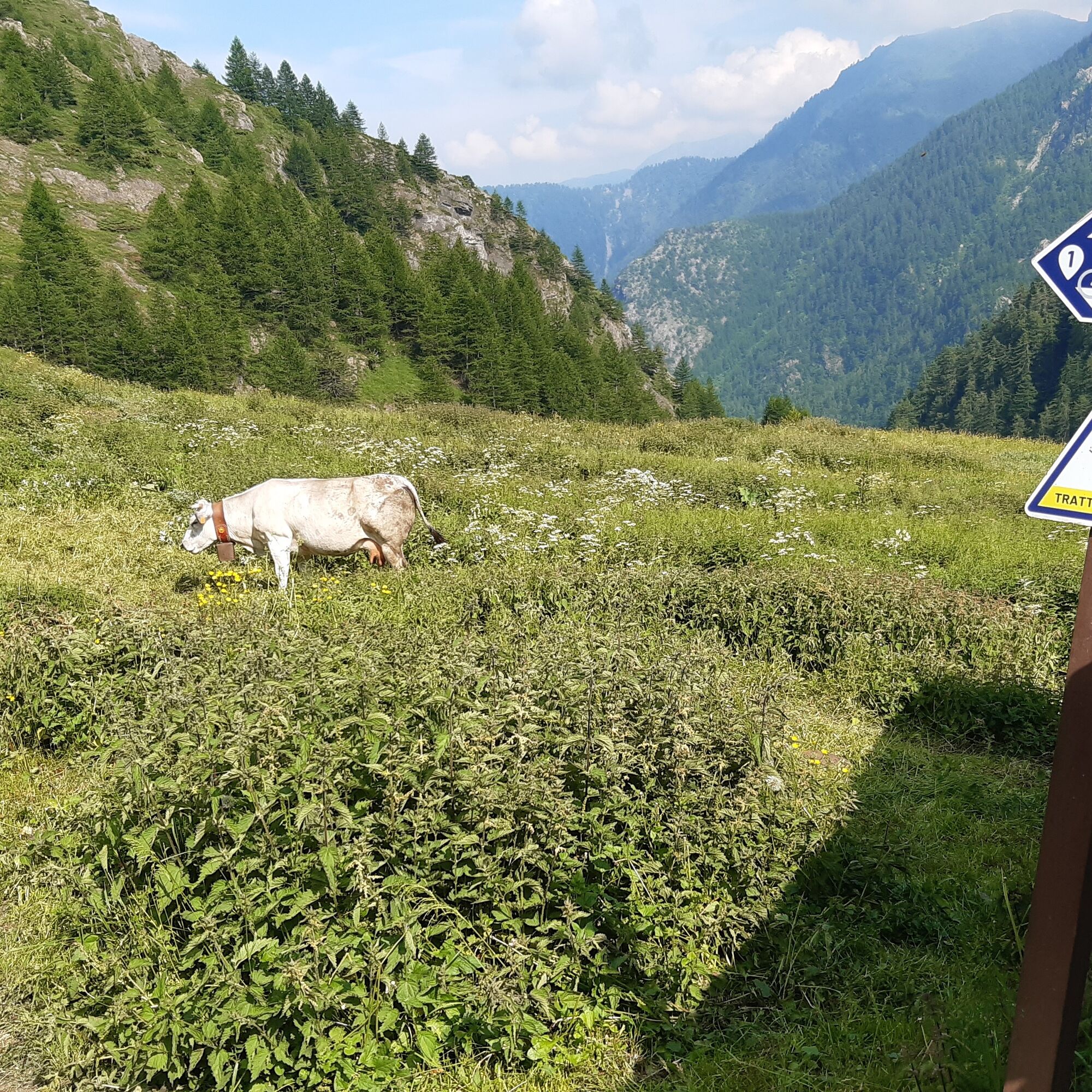
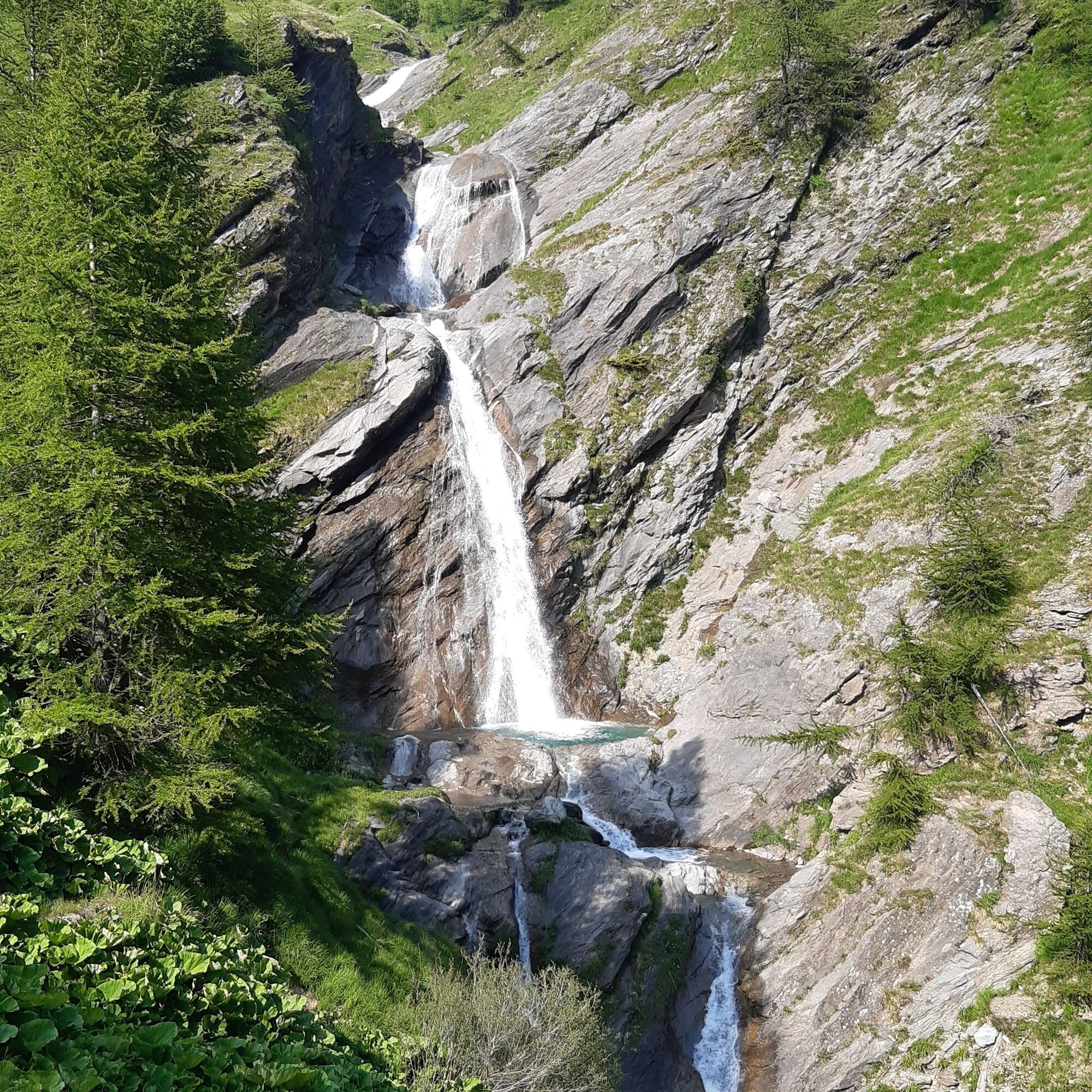
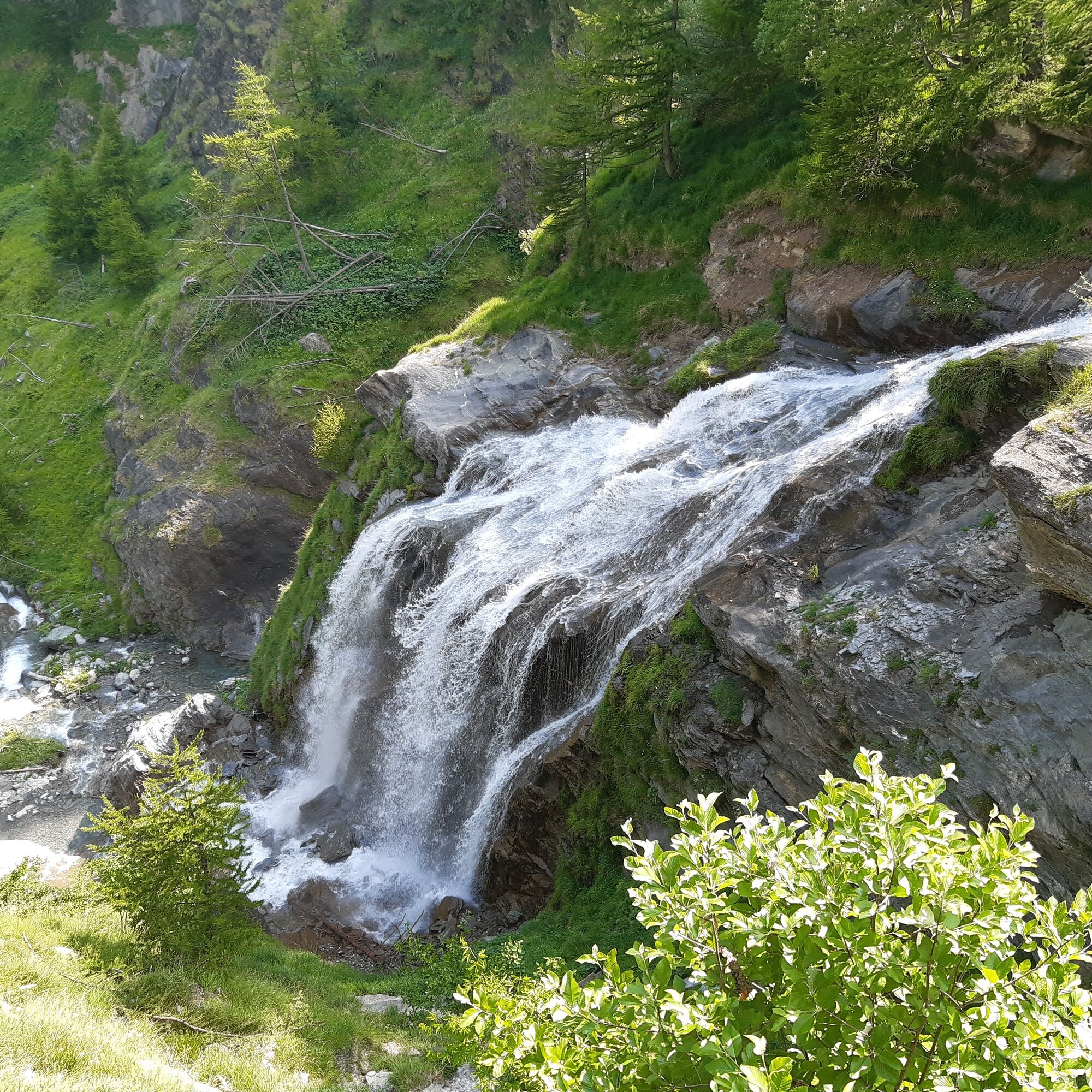
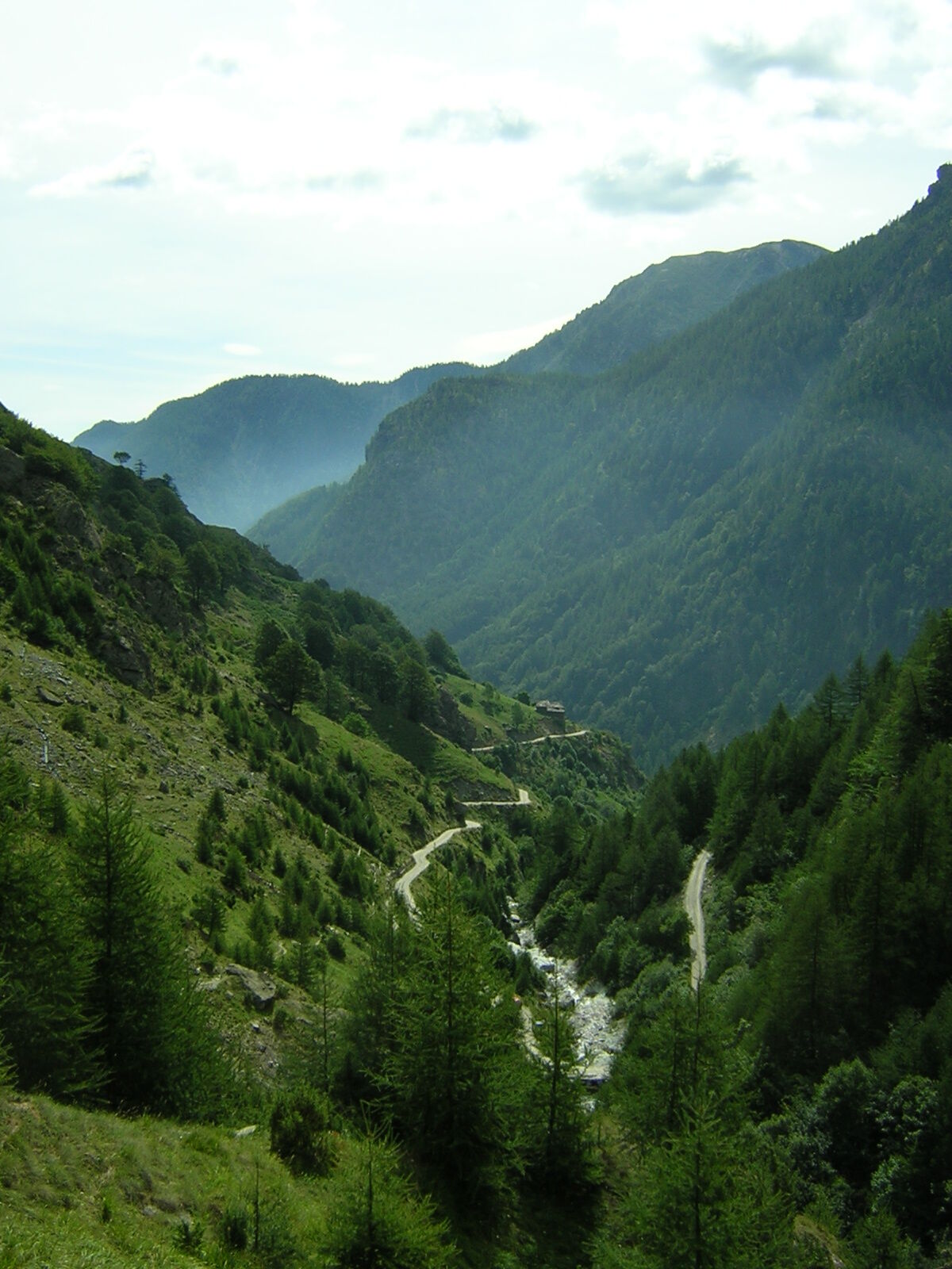

From Villanova we follow the wide dirt road following the signs for the high valley shelters (W. Jervis): immediately there is a hairpin turn to the left, then we take the deviation to the right for Colle Bancet, immediately noticing a change in the slope of the road. At this point we travel the main carriage road that with a series of hairpin bends, and stretches with slopes requiring caution, leads to a junction at an altitude of 1,980 m above sea level: turning left continues towards Col Bancet, to the right you can reach the Giulian mountain huts (branch 1a).
Stopping at Colletta delle Faure (2,109 m above sea level), we can admire the entire Val Pellice and, right in front of us, his majesty Monviso. Continuing towards Col Bancet the road will be easily passable, until you encounter a series of hairpin turns (and the remains of a military work), leading to Alpe Bancet (2,247 m above sea level), the highest point of the itinerary, after over 1,000 meters of elevation gain from the start.
At this point the road becomes a path, to be traveled carefully for about 800 m, although there are no obstacles such as exposed rocks or significant slopes. It then passes on a military mule track, with accumulated material present, and the consequent need to follow the beaten trace inside it. The hairpin bends are wide and can be traveled carefully, with a nice view of the area below.
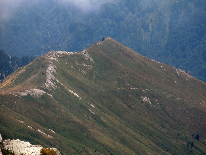
Again the road becomes flat but presents a narrower bed, with stretches to be traveled carefully due to limited movements of the dry stone retaining walls, until reaching a military barracks that is still in excellent condition. Maintaining altitude and following the path, you reach Col Content (2,110 m), from which you can observe from above the basin of Prà, as well as the remains of bunkers and military positions dating back to the Second World War.
From here you descend along a decidedly challenging path on a slightly trench-like track (rideable on MTB only for the most expert) that leads to Alpe Crosenna (1,660 m above sea level); there are a farm stay and a valuable water point. Then you continue on a technical mule track, with short stretches with steep slopes and a pebble surface, up to the intersection with the dirt track that returns to Villanova.
Appropriate clothing and equipment are recommended.
The path between Alpe Bancet and Alpe Crosenna is rideable only by the most expert and trained cyclists. For the less daring, it is possible to turn back retracing the itinerary done uphill.
Before undertaking any excursion it is advisable to check the weather reports or ask for information at the local Tourism Offices.
It is good practice not to undertake an excursion alone, always notify your destination.
Do not throw waste into the environment but carry it with you, possibly collecting those left by others.
The travel times given are indicative and may vary depending on weather conditions, your abilities and the type of bike used.
To reach the Villanova hamlet it is enough to follow the Provincial Road 161 which starts in Pinerolo and runs through the entire Val Pellice.
You can get by bus from Pinerolo to Bobbio Pellice, and from here continue by bike to the Villanova hamlet following the S.P. 161.
At the Villanova hamlet there is a large parking lot, partly paid and partly free
6
Rideability: 80%
Recommended direction of travel: COUNTERCLOCKWISE
Technical difficulty MC+/OC
Oblíbené prohlídky v okolí
-
GR®58 Tour du Queyras
středníTuristika 114.0 km -
Gran Tour del Monviso
středníTuristika 57.1 km -
5.0
BOBBIO PELLICE Upslowtour - Ring 2 of the refuges
heavyJízda na kole 37.6 km -
5.0
Pian del Re, Monte Meidassa, Colle Gianna
středníTuristika 16.1 km -
5.0
Invincibles valley - Alpe Caugis
Turistika 15.3 km -
5.0
BOBBIO PELLICE: Hike to the Barbara Lowrie Mountain Hut
heavySilniční kolo 9.19 km -
SAUZE DI CESANA Valle Argentera
středníMountainbike 30.7 km -
BOBBIO PELICE Trekking in the hamlets and forests around Bobbio
středníTuristika 7.72 km -
TORRE PELLICE Naturalistic trail "The Jay"
světloTuristika 10.2 km -
TORRE PELLICE The Shepherds' Way
světloMountainbike 11.0 km
Pěší turistika a stopování


Nenechte si ujít nabídky a inspiraci pro vaši příští dovolenou
Vaše e-mailová adresa byl přidán do poštovního seznamu.





