



BOBBIO PELLICE: Hike to the Barbara Lowrie Mountain Hut

Úroveň obtížnosti: 4
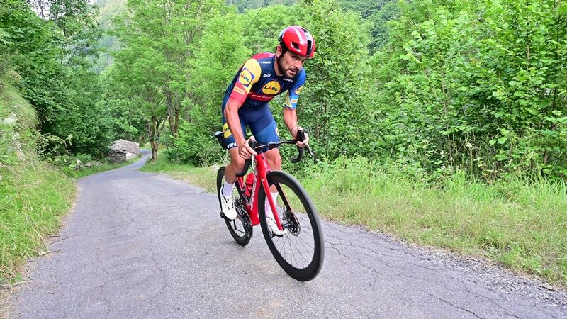
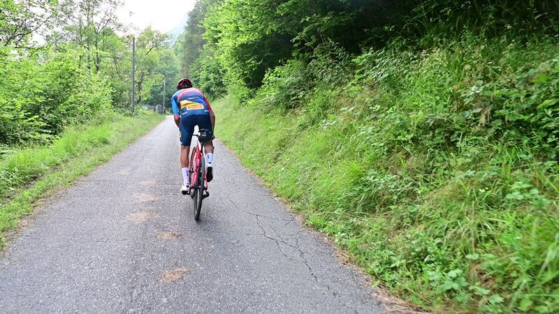
After a 1.5-km stretch with a 7% gradient leading to Arbaud (818 m), riders soon encounter longer and steeper climbs, alternating with sections of gentle ascent that become increasingly rare. The average...
After a 1.5-km stretch with a 7% gradient leading to Arbaud (818 m), riders soon encounter longer and steeper climbs, alternating with sections of gentle ascent that become increasingly rare. The average gradient remains consistently around 13.5% until the 6.5-km mark, rising to 16% over the final 500 meters before the hamlet of Pralapia (1,221 m), after passing sections with maximum gradients of up to 22%.
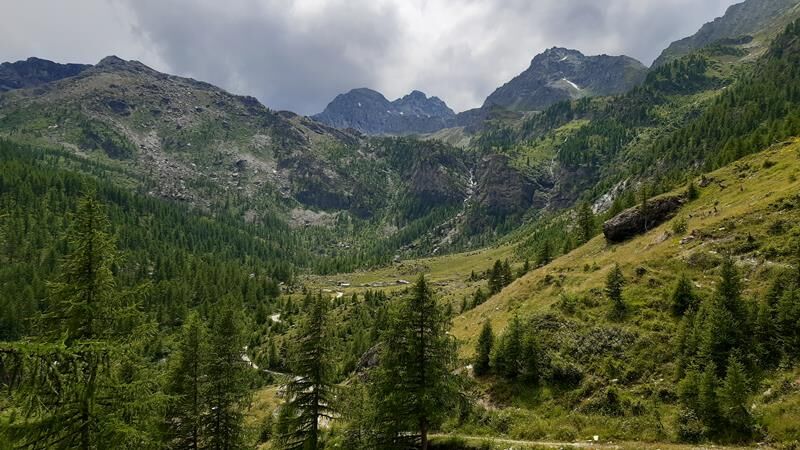
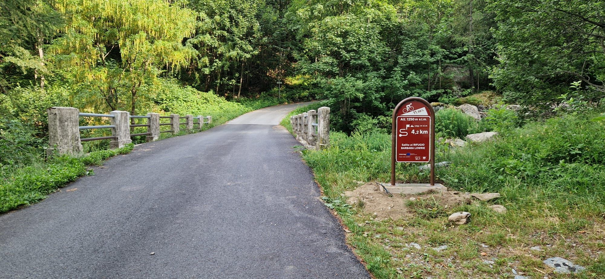
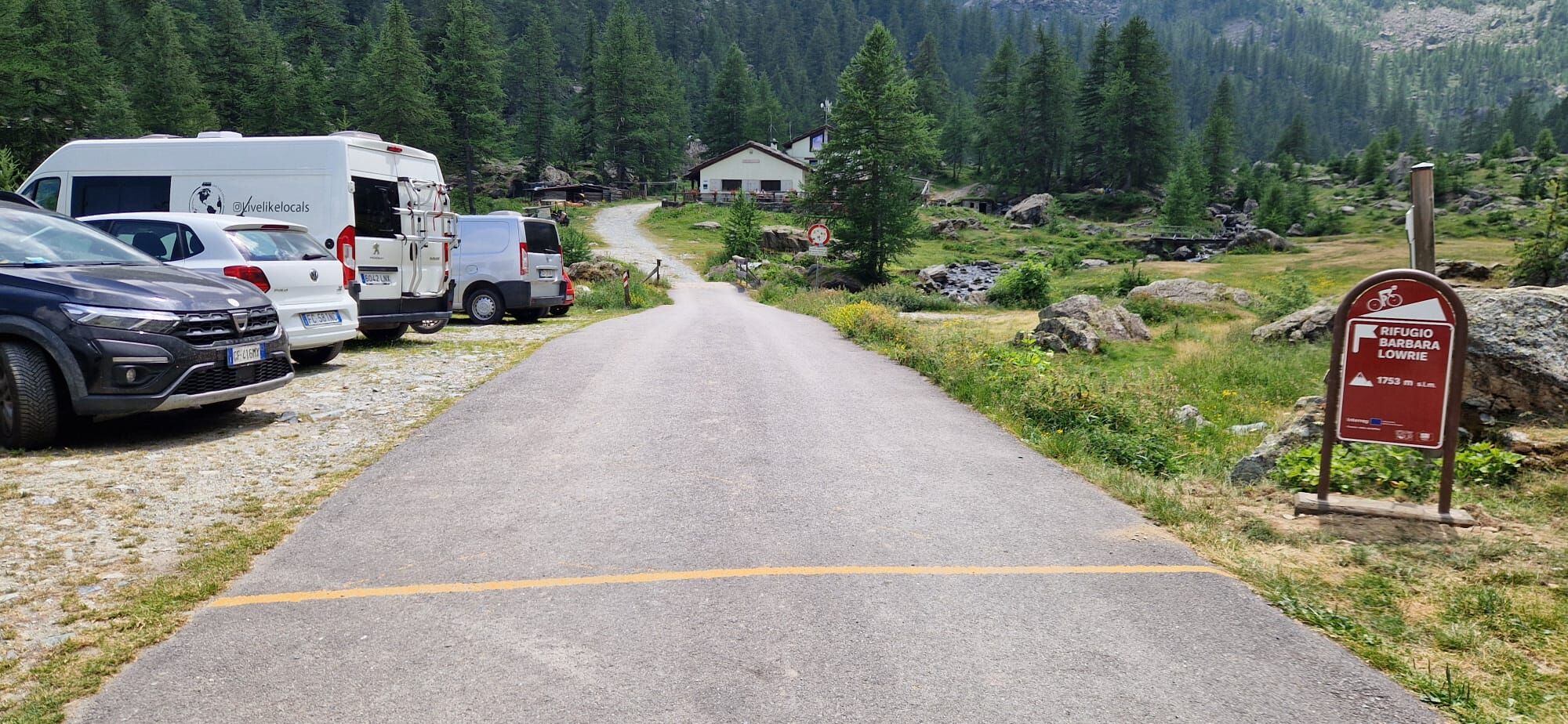
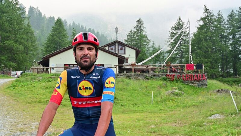
At an elevation of 1,230 m, crossing the stream leads to the eastern side of the “comba,” with a series of very tight and steep consecutive curves. The route gains elevation near Grange Cialancia and resumes the steepest climb; over the final two kilometers, the gradient is around 13%. After two more hairpin turns through the woods, you catch a glimpse of the well-deserved but grueling stretch leading to the Barbara Lowrie Refuge (1,753 m).
No climber’s itinerary is complete without this route.

Appropriate clothing and equipment are recommended.
Before setting out on any hike, it is advisable to check the weather reports or ask for information at the local tourist offices.
It’s a good idea not to go on a hike alone; always let someone know where you’re going.
Do not litter; instead, carry your trash with you and, if possible, pick up any trash left by others.
The travel times listed are approximate and may vary depending on weather conditions and your own abilities.
From Turin, simply take the A55 highway to Pinerolo, then follow Provincial Road 161 through the Val Pellice for about 24 km to Bobbio Pellice.
To get to Bobbio Pellice, after arriving in Pinerolo by bus or train, you can take the Arriva bus, which goes all the way to the town center.
There are numerous free parking spaces in the town square and the immediate vicinity.
4
Average gradient 11.19%
Maximum gradient: 20.3%
The Barbara Mountain Hut is open on weekends in May and every day from June through September
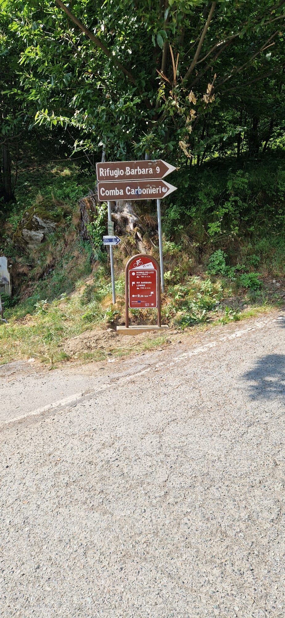
At the start and finish of the trail, as well as along the route, there are kilometer markers indicating the name, distance, and elevation gain of the climb


Oblíbené prohlídky v okolí
Gran Tour del Monviso
středníTuristika 57.1 km- 5.0
Rifugio Quintino sella - monte Monviso
středníHorolezectví 9.13 km - 5.0
BOBBIO PELLICE Upslowtour - Loop 2 of the Mountain Huts
heavyJízda na kole 37.6 km - 5.0
04 Monviso Ring. Rifugio du Viso - Rifugio Alevè . Pontechianale, Piemont/Italien
světloTuristika 13.3 km - 5.0
Pian del Re, Monte Meidassa, Colle Gianna
středníTuristika 16.1 km - 5.0
Invincibles valley - Alpe Caugis
Turistika 15.3 km SAUZE DI CESANA Valle Argentera
středníMountainbike 30.7 kmTORRE PELLICE Naturalistic trail "The Jay"
světloTuristika 10.2 kmBOBBIO PELICE Trekking in the hamlets and forests around Bobbio
středníTuristika 7.72 kmTORRE PELLICE The Shepherds' Way
světloMountainbike 11.0 km
Pěší turistika a stopování


Nenechte si ujít nabídky a inspiraci pro vaši příští dovolenou
Vaše e-mailová adresa byl přidán do poštovního seznamu.


