






The Way of Ermenegildo - Stage 1

Úroveň obtížnosti: T2
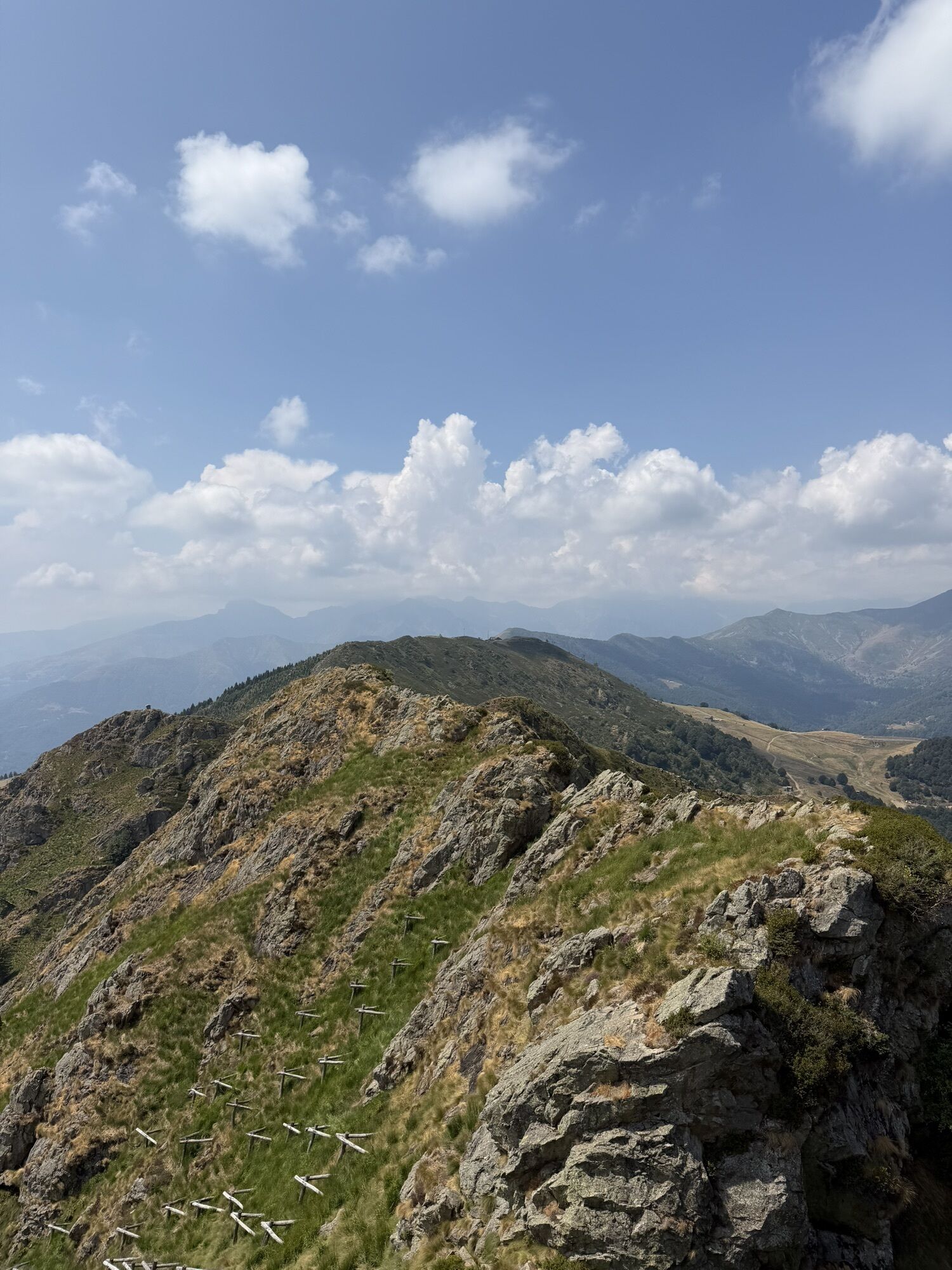
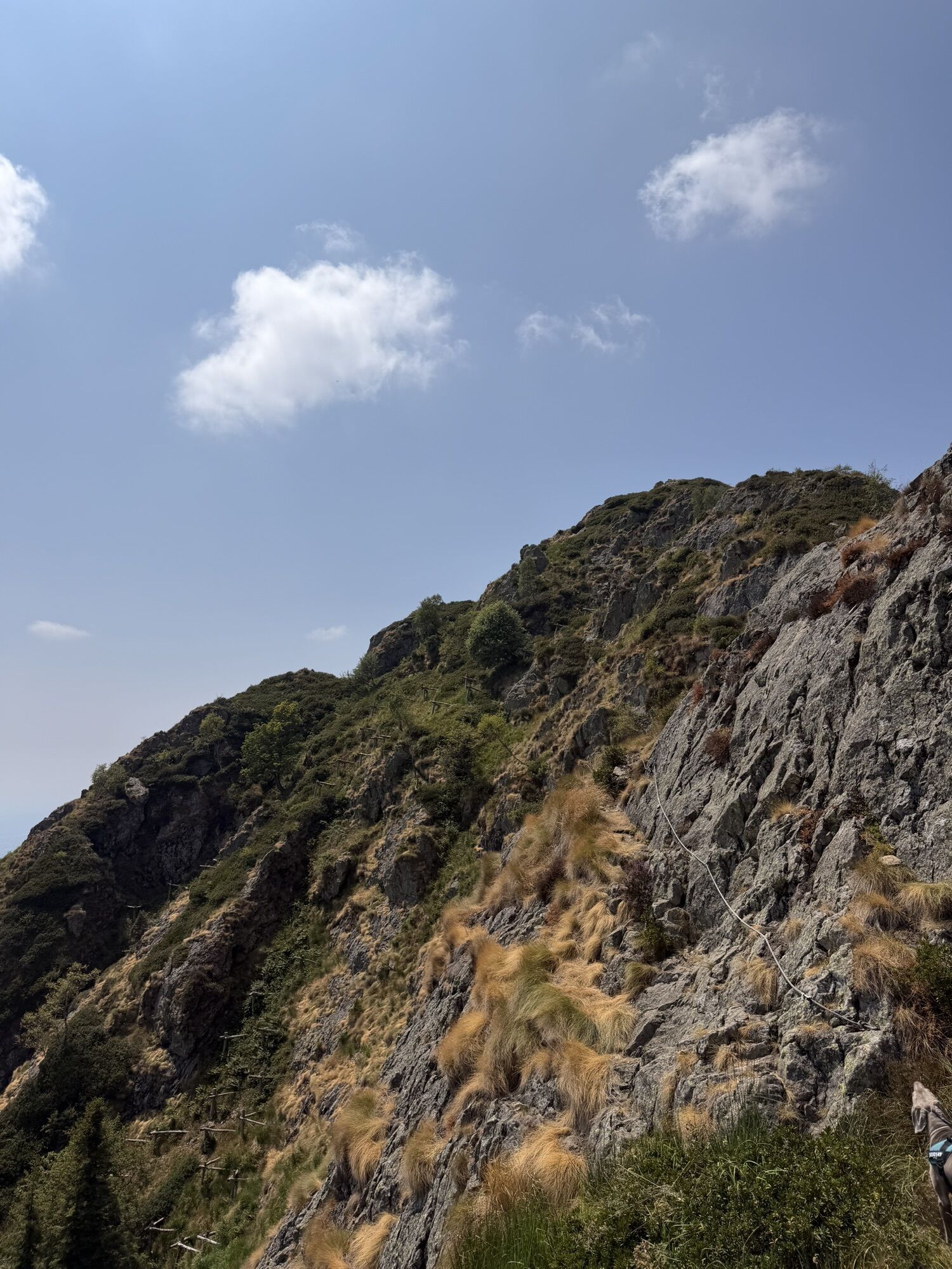
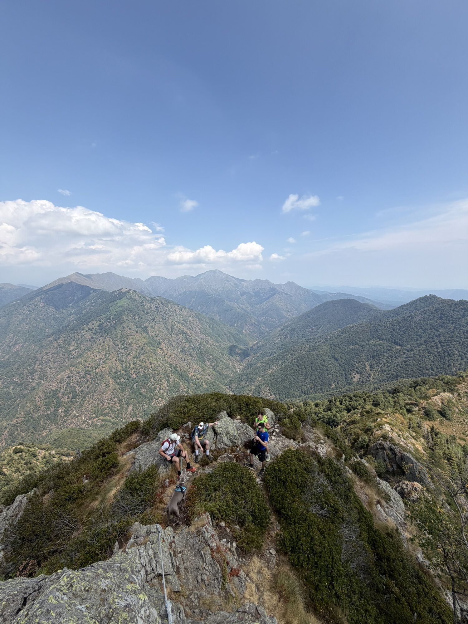
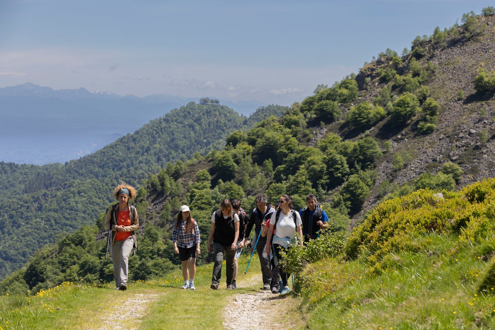
The walk begins at the Zegna Center in Trivero Valdilana and winds through forests and pastures until it reaches Bocchetto Sessera, the junction between the Po Valley and the wild Valsessera. It was in...
The walk begins at the Zegna Center in Trivero Valdilana and winds through forests and pastures until it reaches Bocchetto Sessera, the junction between the Po Valley and the wild Valsessera. It was in these places that Ermenegildo Zegna walked the slopes to trace the best route of the Panoramica Zegna, the road that acts as a hinge from Trivero Valdilana to Bocchetto Sessera, and then continues to the picturesque Cervo Valley. Today Bocchetto Sessera is a starting point for many hikes and an excellent stop to regenerate at the inn of the same name.


T2
Oblíbené prohlídky v okolí
-
GTA: Tappa 27 Rifugio Rivetti - Santuario di San Giovanni d'Andorno
středníTuristika 14.7 km -
The road of Sanctuaries
středníMountainbike 30.4 km -
The Water Valley and the Zegna Oasis
středníSilniční kolo 79.2 km -
From Biella to Oropa through Valle Cervo
heavyMountainbike 45.1 km -
Grand Tour UNESCO Stage 2 | From Biella to Casale Monferrato
heavyCyklistika na velkou vzdálenost 178.2 km -
On the roads of wool and wine
středníSilniční kolo 56.3 km -
GTA: Tappa 29 Santuario di Oropa - Rifugio Coda
středníTuristika 9.73 km -
Mars
středníTuristika 8.46 km -
Ciclabile della Valsesia: Tappa 4 Scopello - Piode
heavyCyklistika na velkou vzdálenost 32.1 km -
San Carlo Path | Stage 8 San Giovanni d'Andorno - Oropa
středníPoutní stezka 12.0 km
Pěší turistika a stopování


Nenechte si ujít nabídky a inspiraci pro vaši příští dovolenou
Vaše e-mailová adresa byl přidán do poštovního seznamu.





