






Saint Bernard Trail | Stage 4 Domodossola – Vogogna

Úroveň obtížnosti: T2
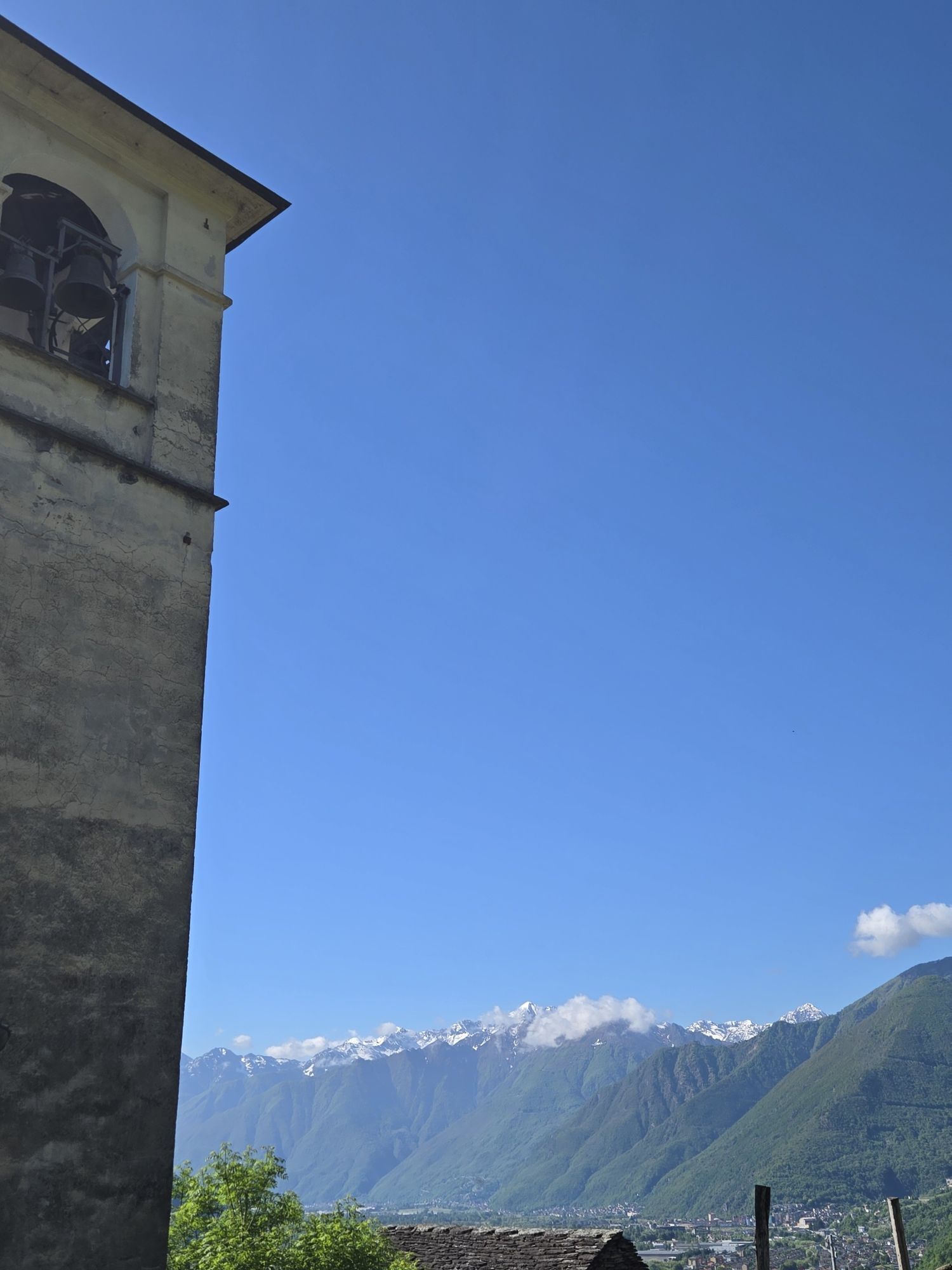
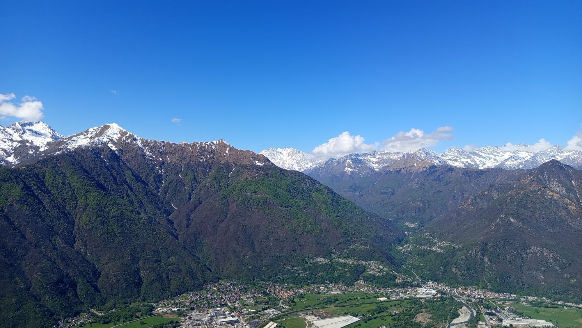
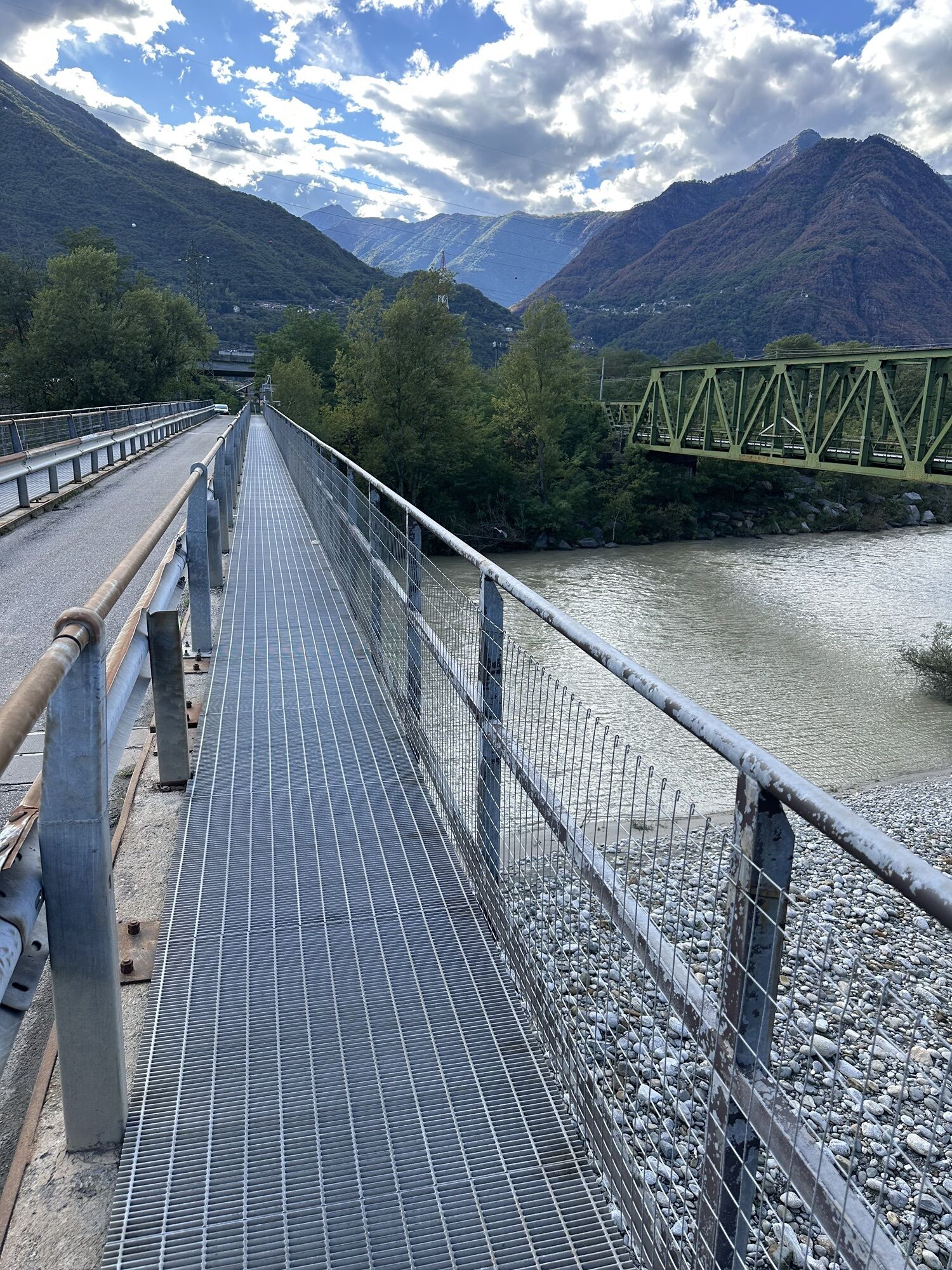
From Mergozzo and Gravellona, routes existed since prehistoric times and were later improved during the Roman era. They led north to the upper Rhone Valley through the Ossola region. Sections of this ancient...
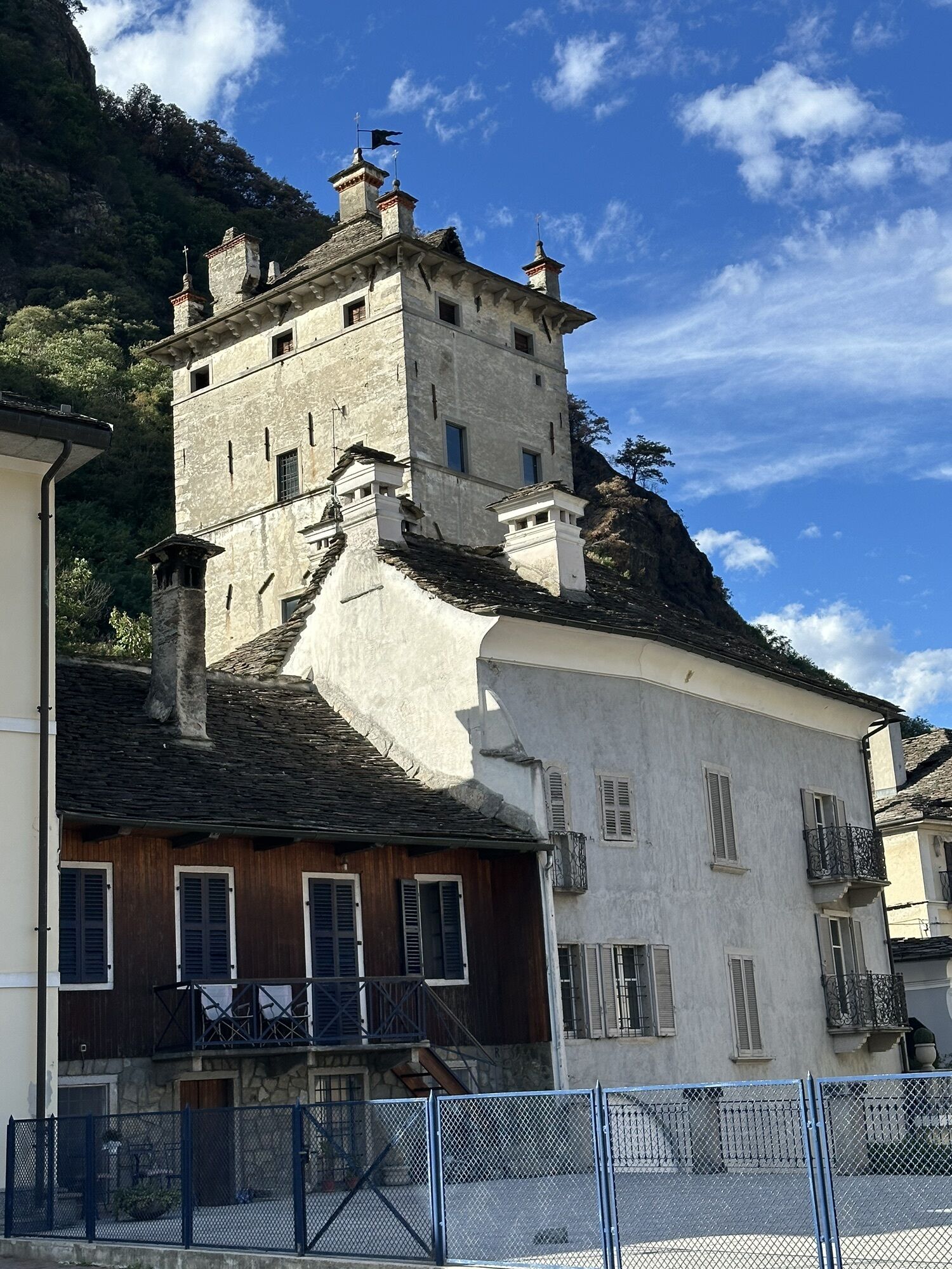
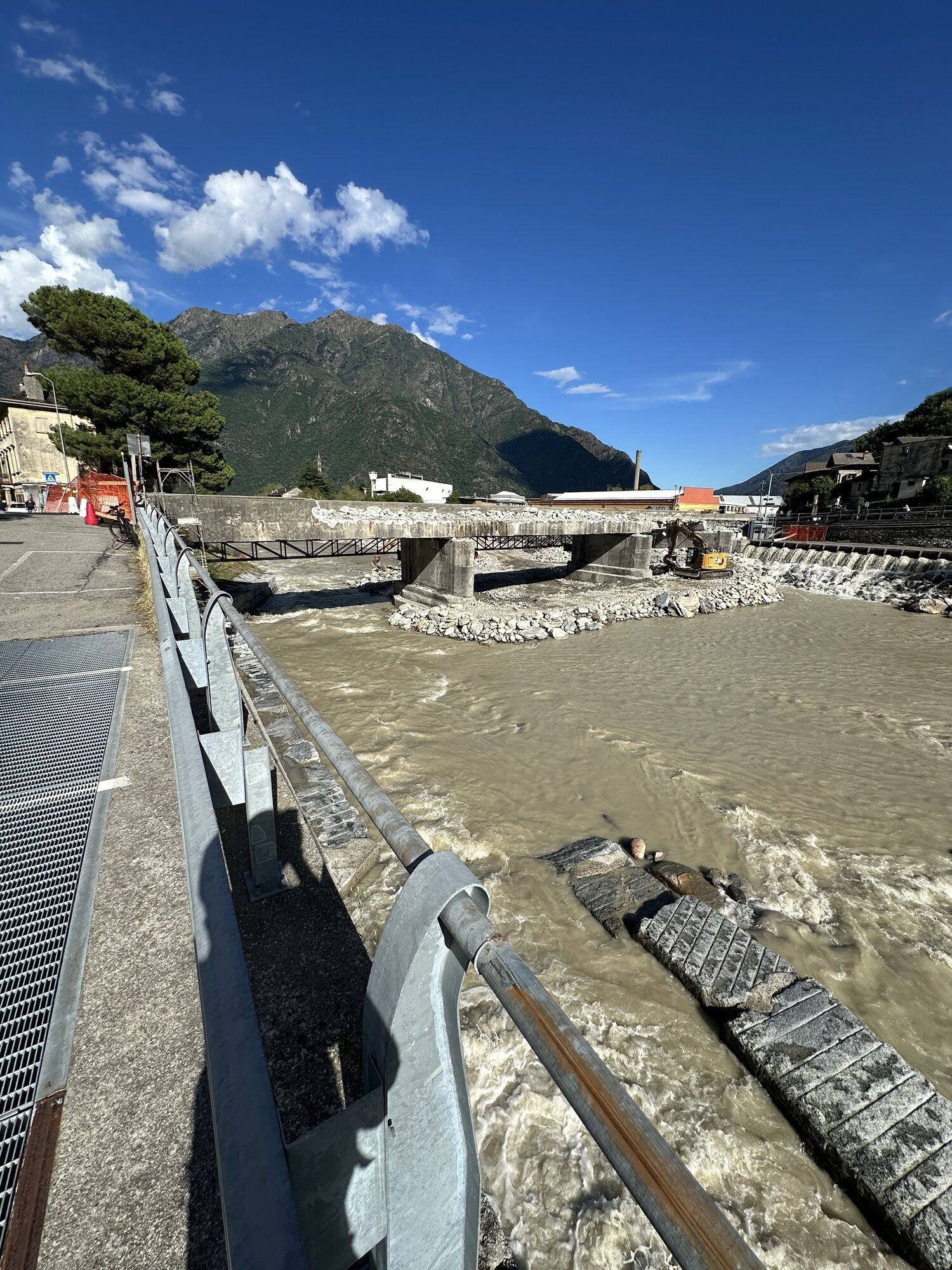
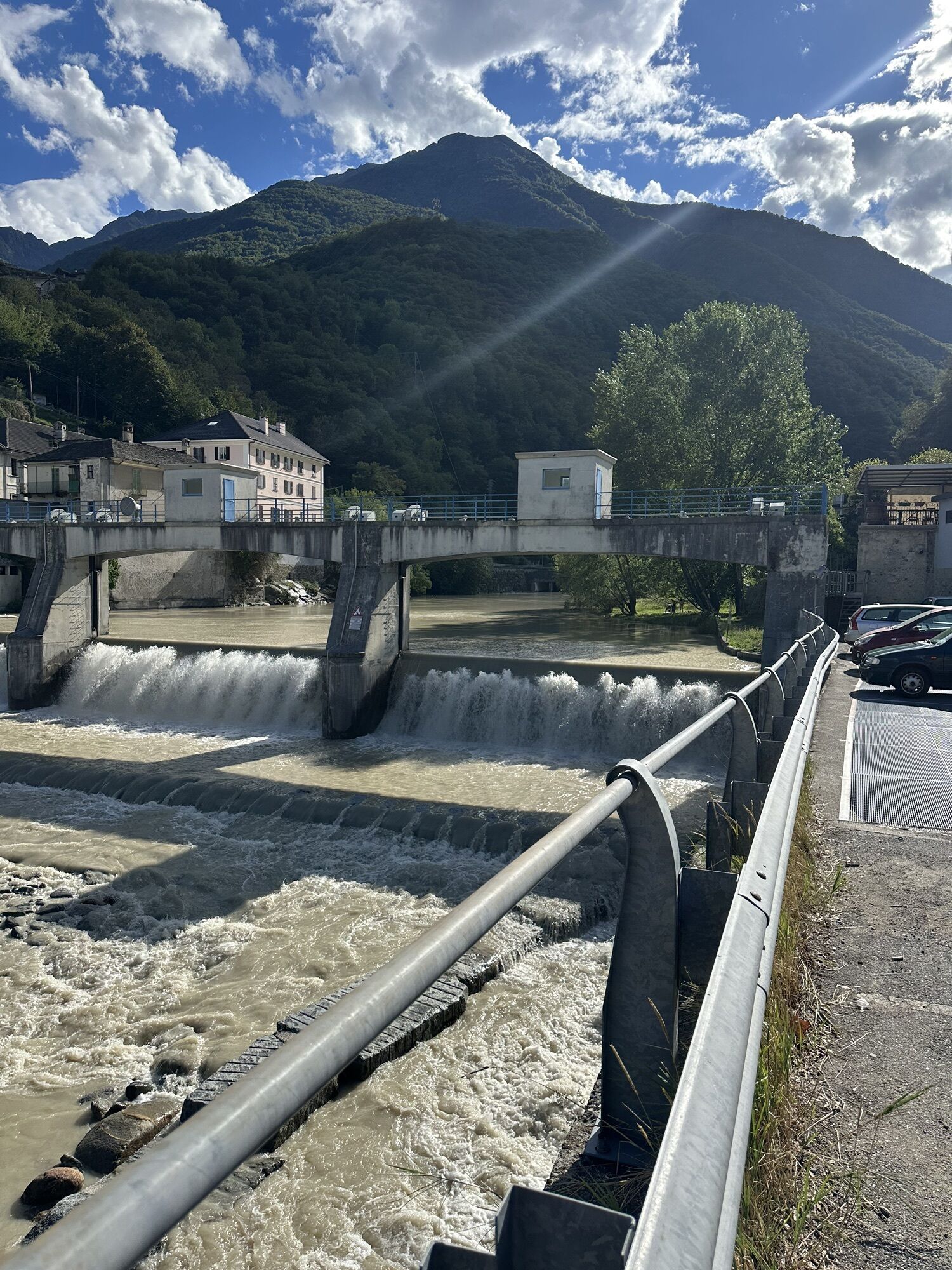
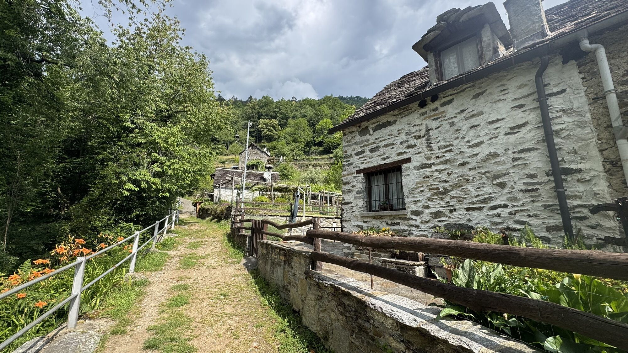
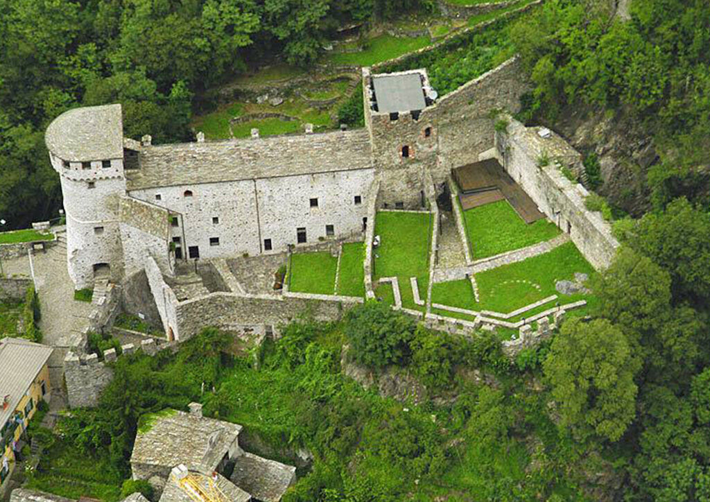
From Mergozzo and Gravellona, routes existed since prehistoric times and were later improved during the Roman era. They led north to the upper Rhone Valley through the Ossola region. Sections of this ancient route have been uncovered at Gravellona, Candoglia, Vogogna, and Beura Cardezza. Two tombstones, the first inscribed in the Latin alphabet and the second in the northern Etruscan alphabet, likely belonged to the Lepontii people, marking evidence from the period of Romanization. Here, there was a port on the Toce River, first controlled by the Knights of St. John and later managed by the Knights of Malta, who opened a hospice there. The route continues along the state road to Vogogna, one of Italy’s most beautiful villages, featuring the Pretorio Palace and Visconti Castle.


Ano
T2
A Vogogna il Palazzo Pretorio venne fatto costruire nel 1348 da Giovanni Visconti. L’abitato, già citato in un documento notarile del 970 d.C., rimane un villaggio di contadini fino al XIII secolo, quando diventa capoluogo dell’Ossola Inferiore. Nel 1014 l’imperatore Arrigo II dona il contado dell’Ossola al vescovo di Novara: Vogogna diventa vassalla di Vergonte, poi Pietrasanta. Nel 1328 il castello di Pietrasanta viene distrutto da una disastrosa alluvione e Vogogna diviene il centro della vita politico-amministrativa della Bassa Ossola e quindi sede della Giurisdizione dell’Ossola Inferiore che comprendeva Masera, Trontano, Beura e Cardezza, conservandola fino al 1818quando il mandamento passerà a Ornavasso.

Oblíbené prohlídky v okolí
Grande Traversata delle Alpi - GTA: Tratto Nord Piemonte
heavyTuristika 181.3 km- 2.0
Alpe Quaggione - Monte Massone - Alpe Quaggione
středníTuristika 15.8 km - 4.0
Stage 4: Alpine Hut Route Bognanco - Domodossola
heavyTuristika 12.2 km - 5.0
Drei Seen-Wanderung
středníTuristika 15.1 km - 5.0
Via Geoalpina | Stage 6 Alpe La Colma - Vogogna
středníTuristika 13.2 km Alpe Faievo - Monte Tignolino - Alpe Faievo
středníTuristika 15.6 km- 4.0
Rifugio Andolla - Oratorio di San Bernardo - Rifugio Città di Novara - Antronapiana
středníTuristika 10.2 km Via del Mercato | Stage 1 Masera - Santa Maria Maggiore
středníTuristika 15.6 kmStage 3: Alpine hut route Zwischbergen - Bognanco
heavyTuristika 14.7 km- 3.0
Omegna Valley cycle
středníElektrokola 38.8 km
Pěší turistika a stopování


Nenechte si ujít nabídky a inspiraci pro vaši příští dovolenou
Vaše e-mailová adresa byl přidán do poštovního seznamu.





