






Stage 3: Alpine hut route Zwischbergen - Bognanco
Úroveň obtížnosti: T3
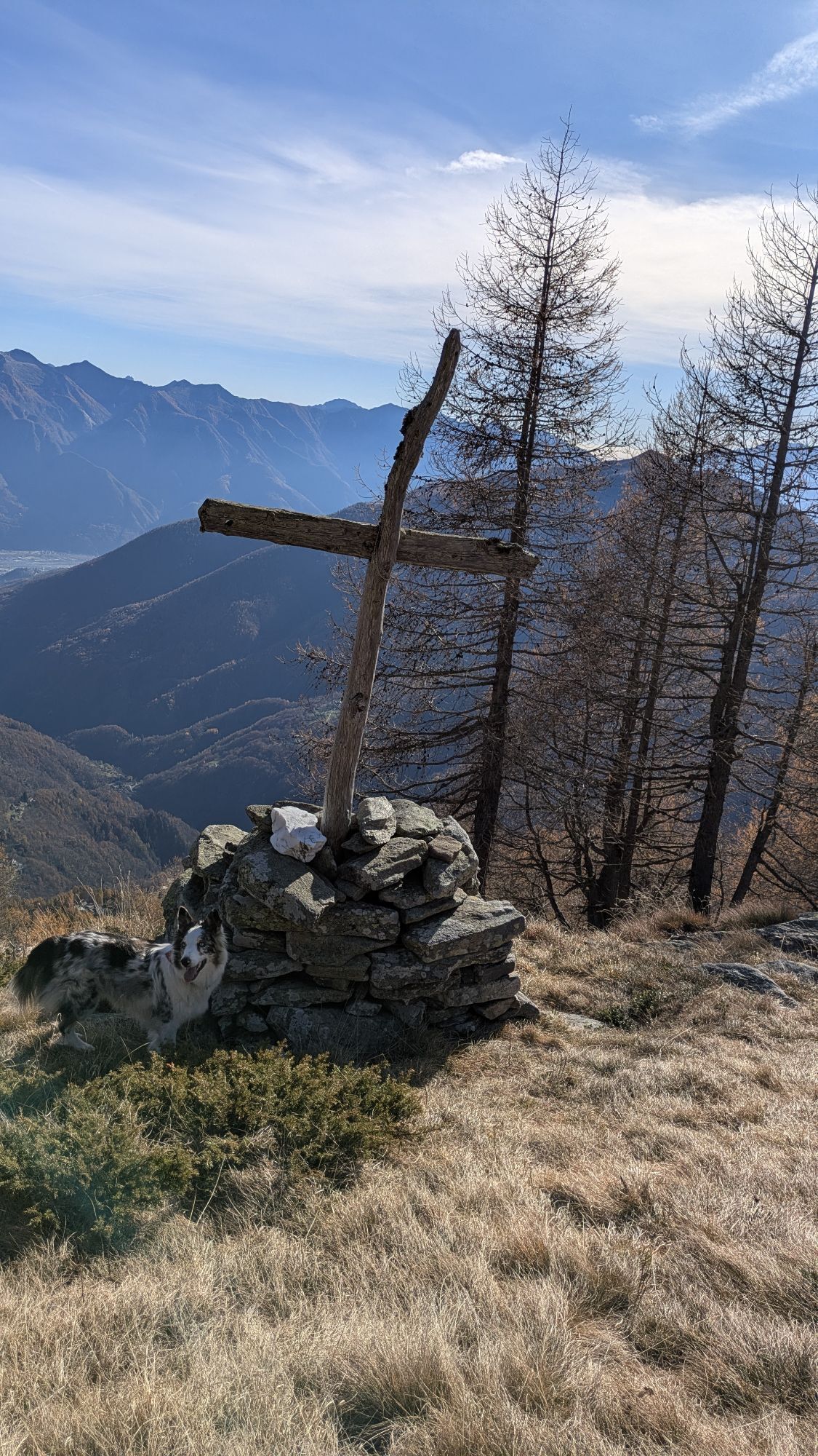
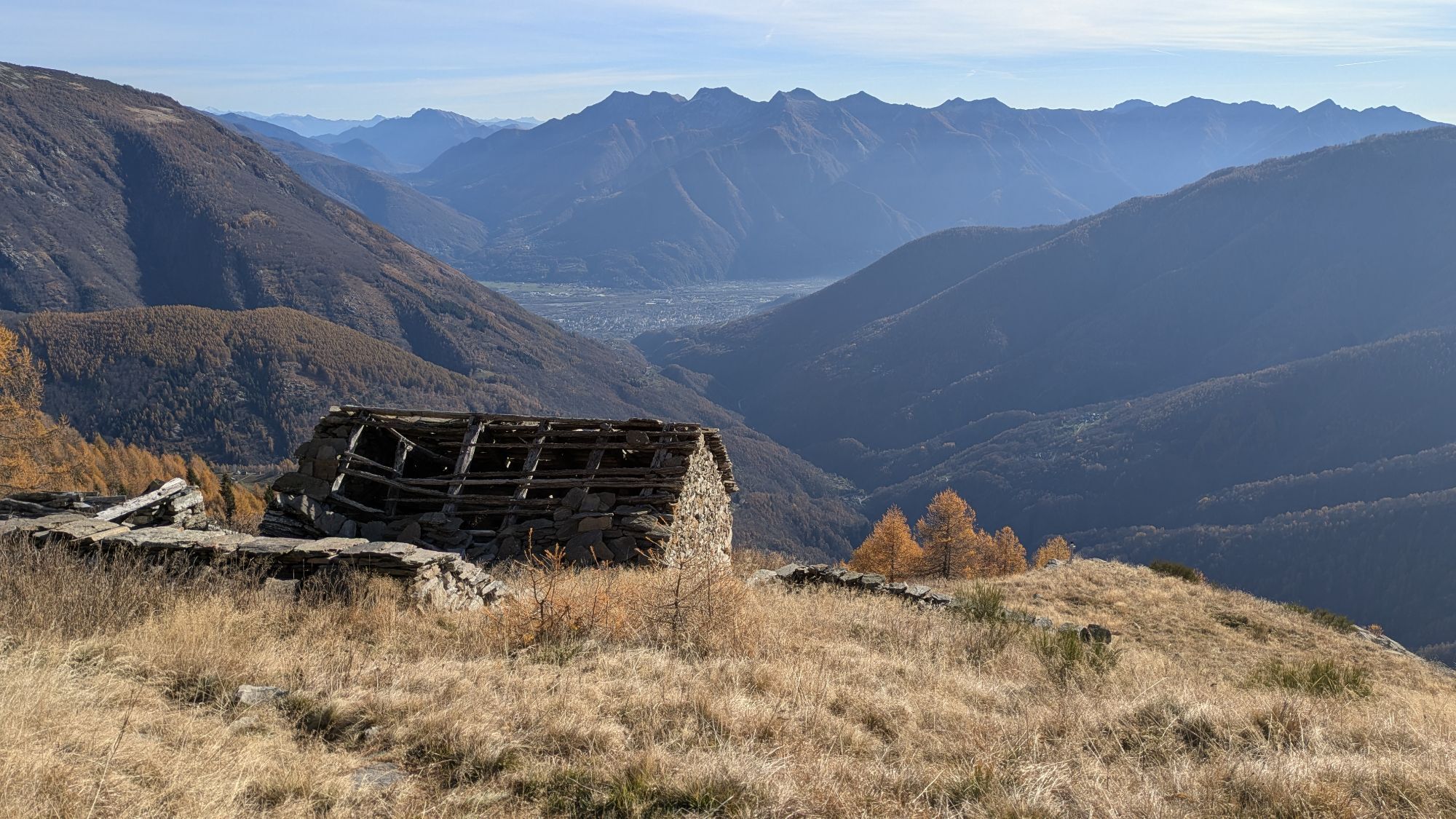
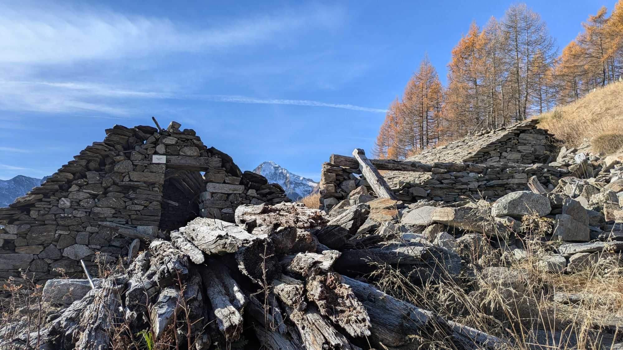
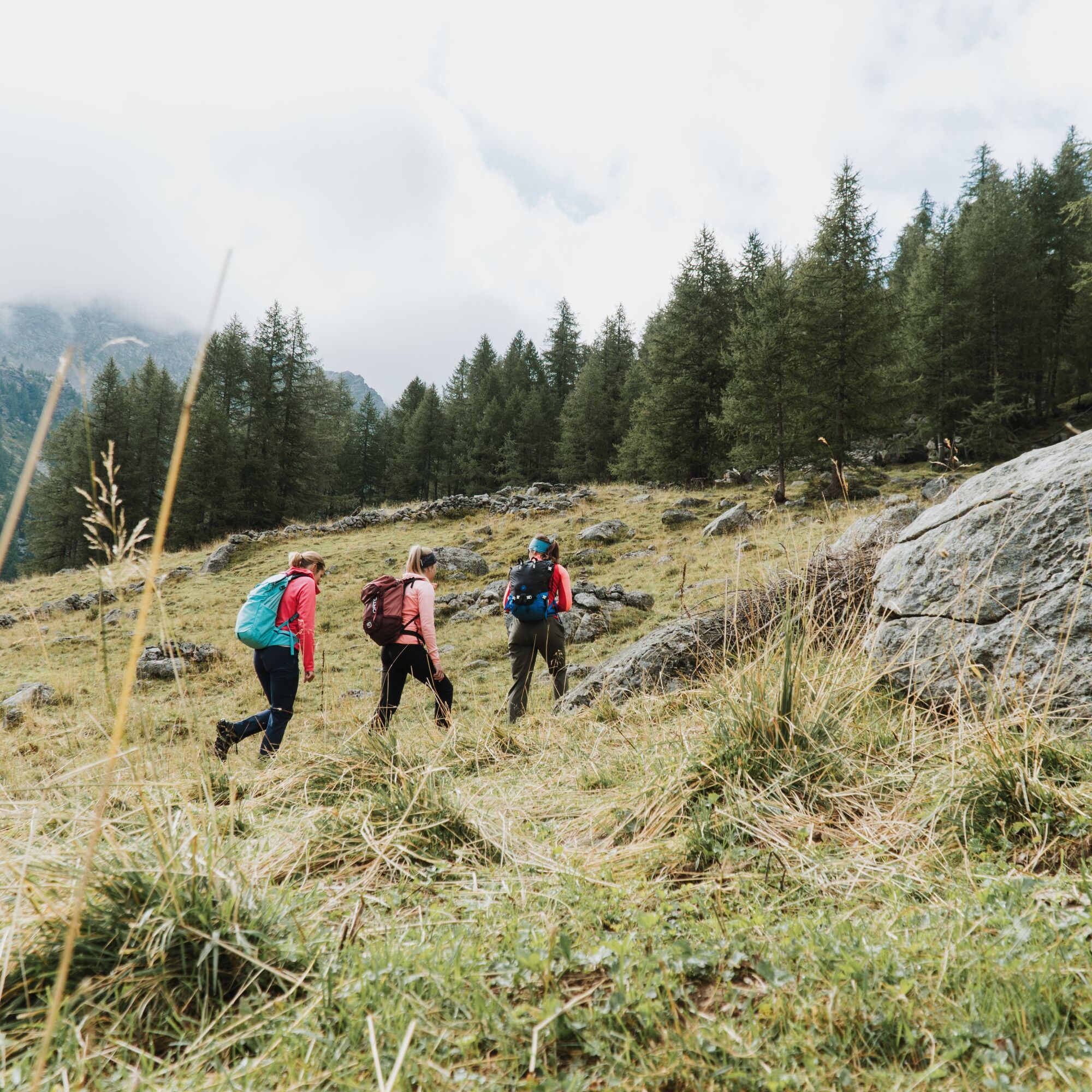
From Gasthaus Bord, first walk along the country road and then turn right onto the hiking trail. The path leads over a bridge and then meanders through the forest uphill to Härd and further to Alpe Waira...
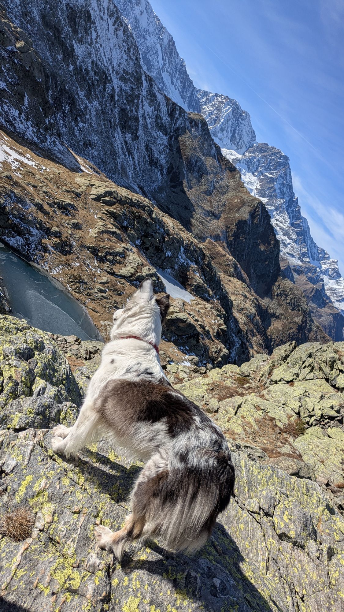
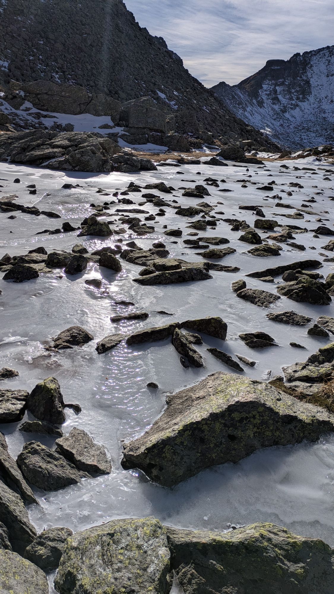
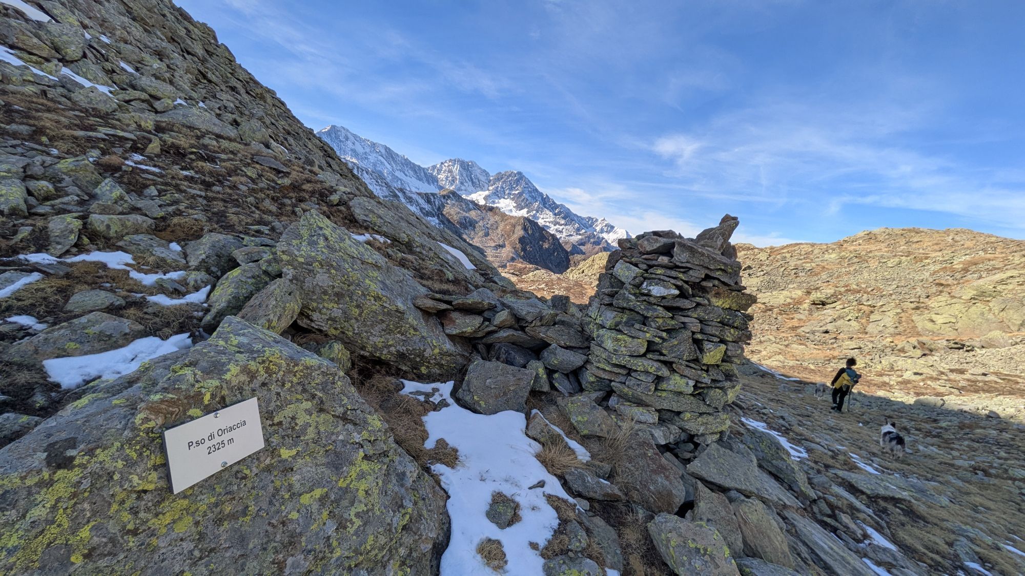
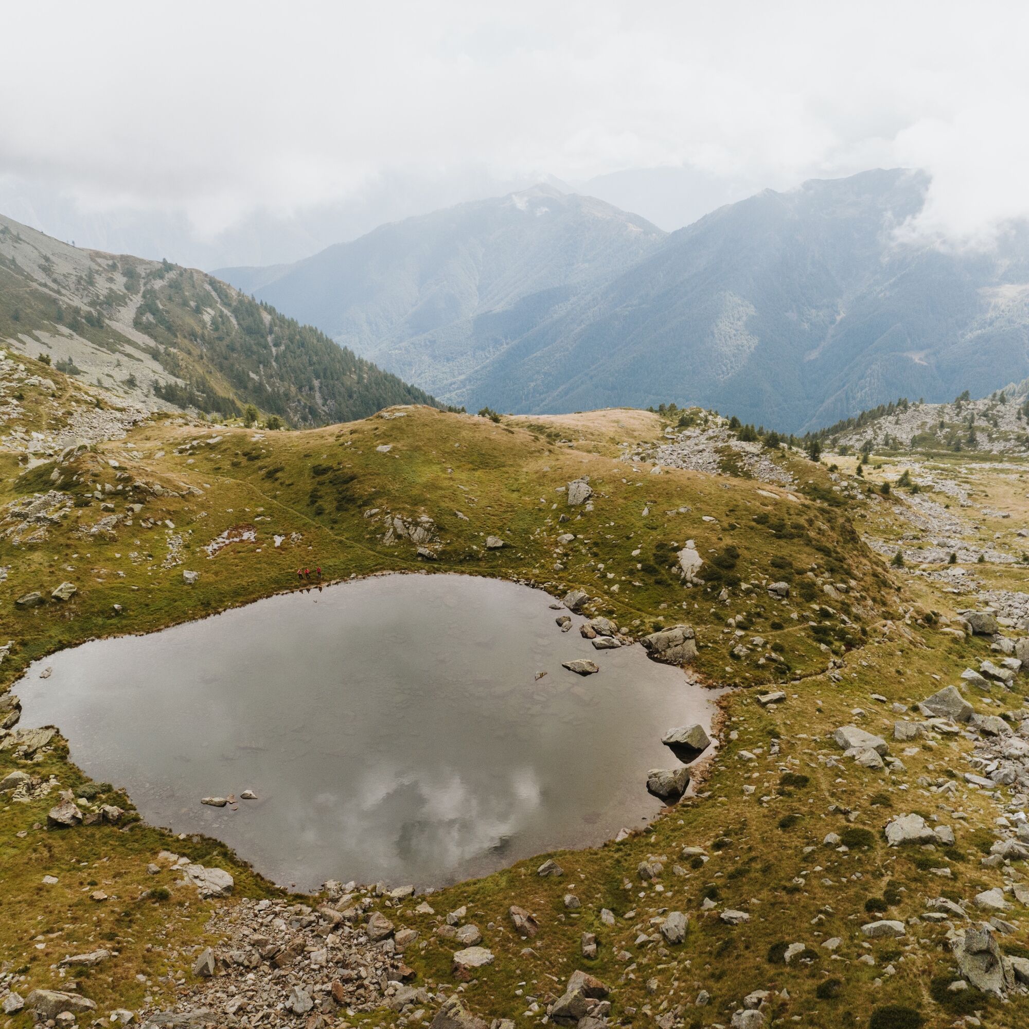
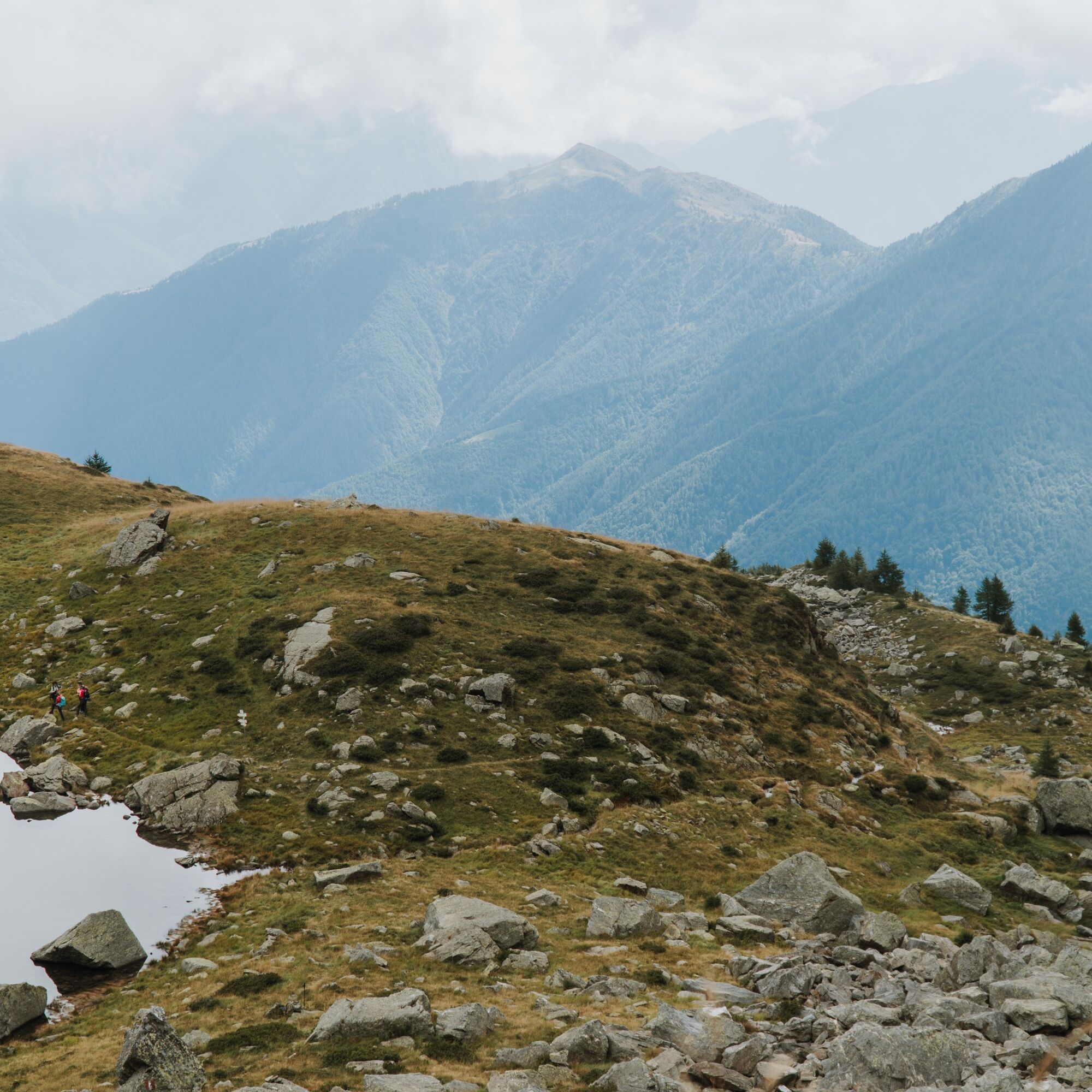
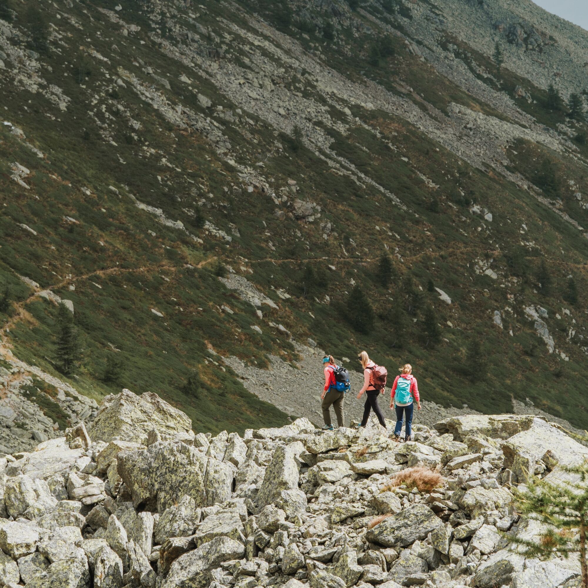
From Gasthaus Bord, first walk along the country road and then turn right onto the hiking trail. The path leads over a bridge and then meanders through the forest uphill to Härd and further to Alpe Waira (1847 m). Continue through the forest to the first mountain lake, the Wairasee. Now follows a steep section up to the largest lake, the Tschawinersee. A little further up are two more mountain lakes before a rocky section leads to the Passo di Oriaccia (2325 m). The state border to Italy is marked by the Passo di Oriaccia.
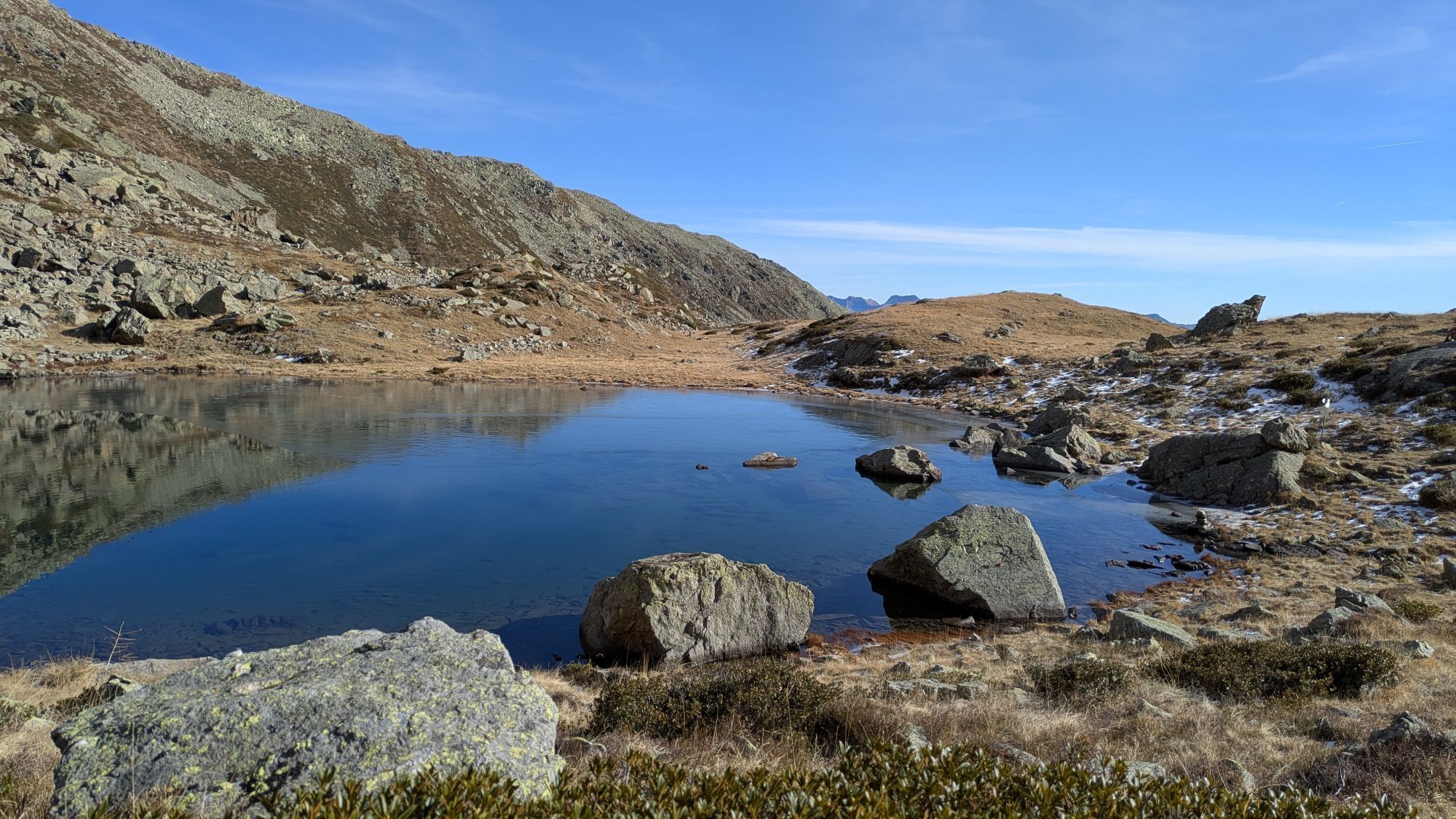
The descent is on the Italian side, past another mountain lake, the Lago di Oriaccia. After the lake, the path continues southeast towards San Bernardo and further to Graniga, the destination of the third day stage. Along the way, you may catch glimpses of the overall goal, the small town of Domodossola.
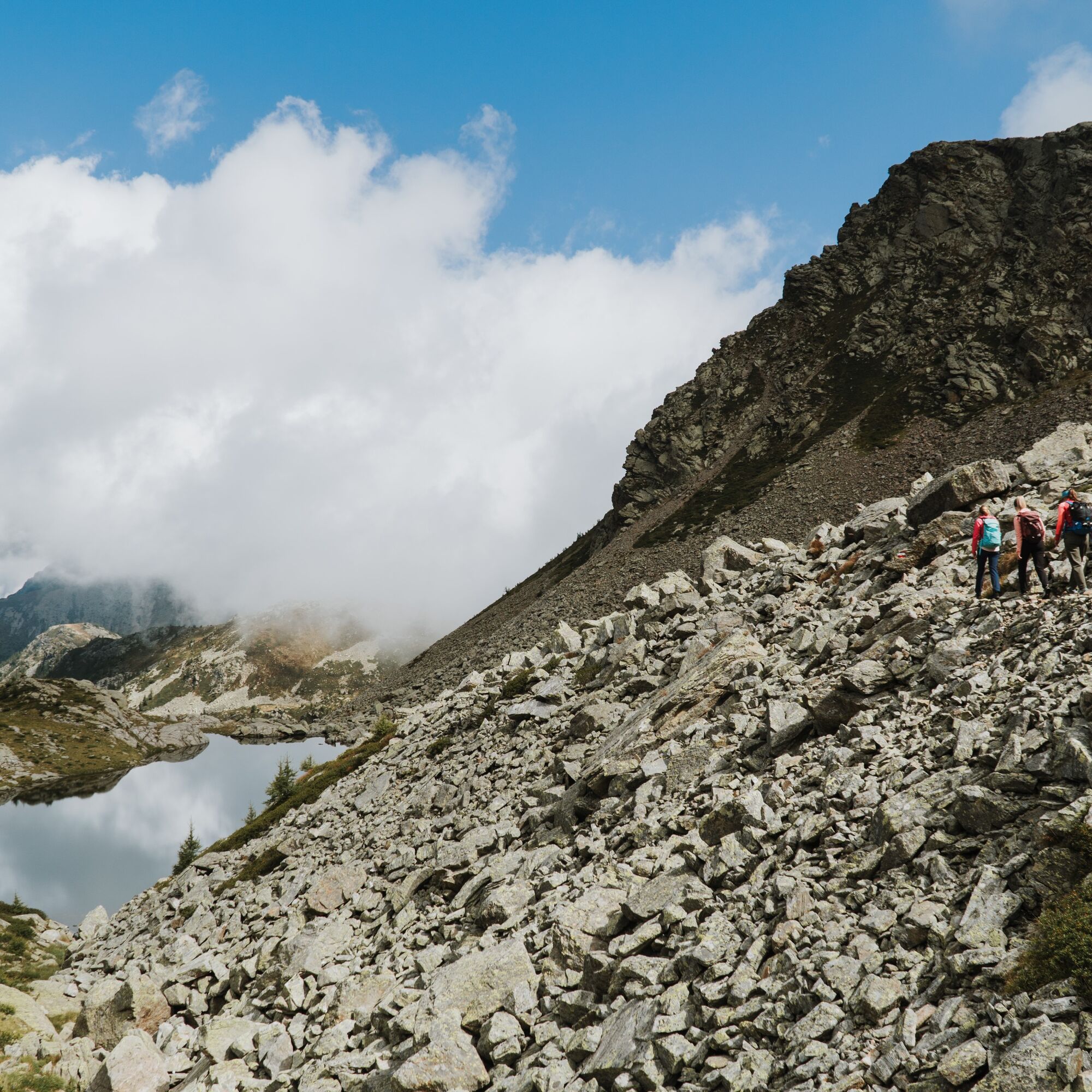
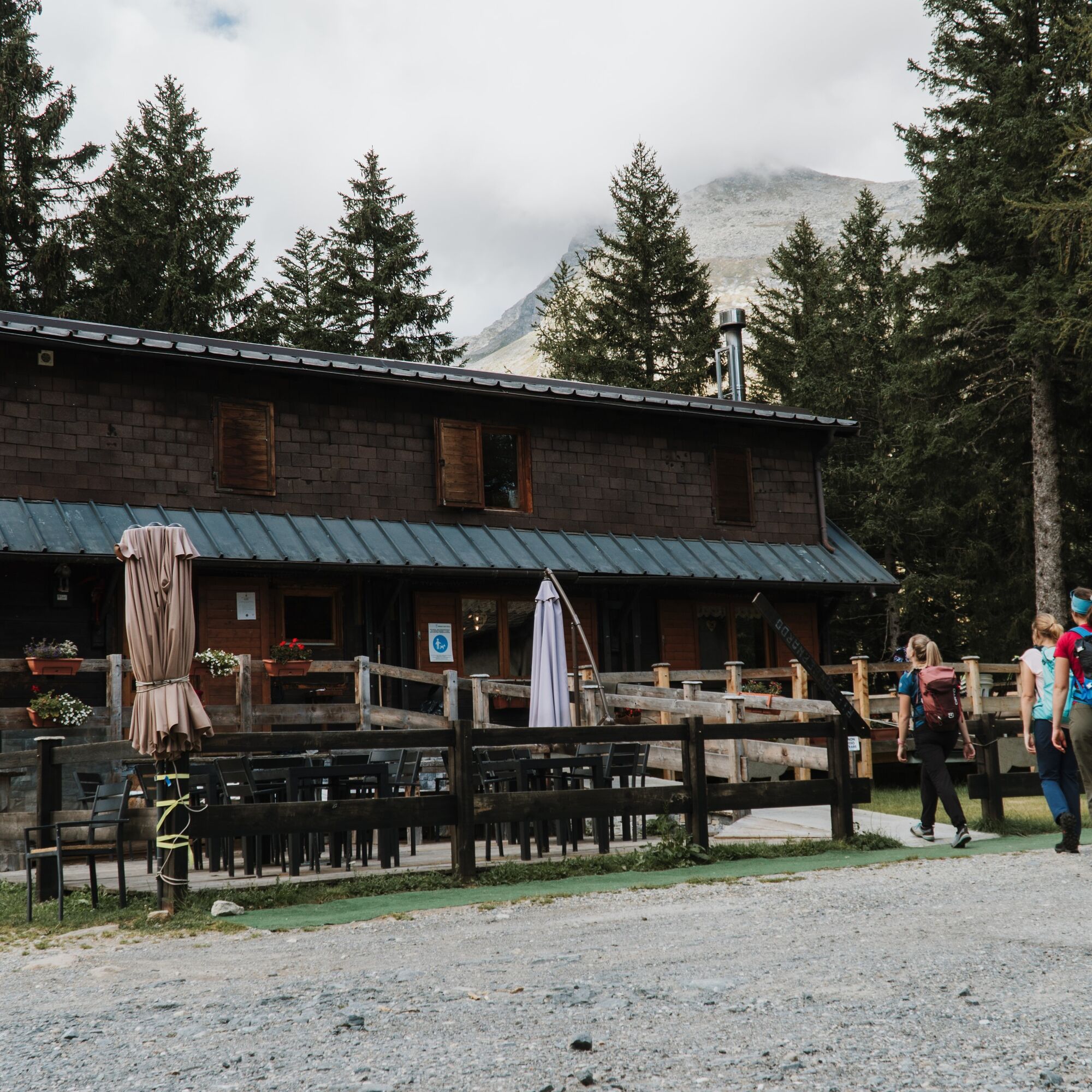

Gasthaus Bord Zwischbergen - Alpe Waira - Wairasee - Tschawinersee - Passo di Oriaccia - Costa del Dente - Camping Village Yolki Palki - Bognanco
Hiking boots
Backpack
Weatherproof and sufficiently warm outdoor clothing,
Headgear
Sunscreen and sunglasses
Water bottle
Snacks
Hiking poles
Hiking map
Navigation device (GPS)
First aid kit
Silk sleeping bag
Spare clothes
The route is completed independently. Experience and independent orientation in high alpine terrain are required.
Users of alpine hiking trails must be sure-footed, free from dizziness, in very good physical condition, and proficient with rope and ice axe use. They must also master overcoming climbing sections using their hands and be aware of mountain dangers.
Careful route planning and attention to meteorological conditions are a must. Some sections of the route can only be completed in very good weather conditions.
The weather in the mountains can change rapidly. Therefore, bring suitable clothing, enough provisions, and water. Turn back in time if weather conditions are uncertain.
Inform others about your route and if possible never go alone.
Be considerate of other hikers as well as plants and animals.
Observe the warning signs that highlight the constant danger in the riverbed and on the banks of waterways below dams and water intakes.
Gondo is connected to public transport by the PostBus connection. From Gondo Church, a PubliCar runs five times daily to the mountain inn in the summer half-year (reservation required at the latest 2 hours before departure, tel. +41 70 713 70 02)
The Gasthaus Bord Zwischbergen is easily accessible by car. Allow 12 minutes for the winding route from Gondo. By car, it takes less than an hour from Brig to the mountain hut. From Simplon Village it takes 25 minutes and from Domodossola 35 minutes.
Parking spaces are available at Gasthaus Bord Zwischbergen.
T3
The route can be booked as an individual multi-day hike at a package price.
Learn more
Získejte přehled Vždy živě na místě s více než 9 500 webkamerami. bergfex Jako uživatel Pro si nyní můžete zobrazit odpovídající webové kamery pro mnoho prohlídek v aplikaci prohlídky z. Můžete si tak přímo prohlédnout aktuální podmínky. Oblíbené prohlídky v okolí
- 5.0
Weissmies Südgrat von Saas Almagell
středníVysokohorská turistika 20.5 km - 5.0
Via ferrata Jägihorn
heavyVia ferrata 6.14 km - 5.0
Mountain trail Kreuzboden - Hohsaas
středníTuristika 4.65 km - 5.0
Hut path Almagellerhütte
heavyTuristika 6.73 km - 5.0
Path of the 18 four-thousanders
středníTematická stezka 1.19 km - 5.0
San Domenico - Alpe Veglia - San Domenico Rundwanderung
středníTuristika 13.9 km Weissmieshütte circular route
středníTuristika 4.91 km- 5.0
Animal Trail to Weissmieshütte
středníTematická stezka 1.67 km Grande Traversata delle Alpi - GTA: Tratto Nord Piemonte
heavyTuristika 181.3 km- 5.0
Stockalper Way | Stage 2 Simplon Pass - Gondo
středníTuristika 18.6 km
Pěší turistika a stopování


Nenechte si ujít nabídky a inspiraci pro vaši příští dovolenou
Vaše e-mailová adresa byl přidán do poštovního seznamu.





