






Le Strade dei Forti - stage 8 from Pian dell'Alpe to Casa Assietta

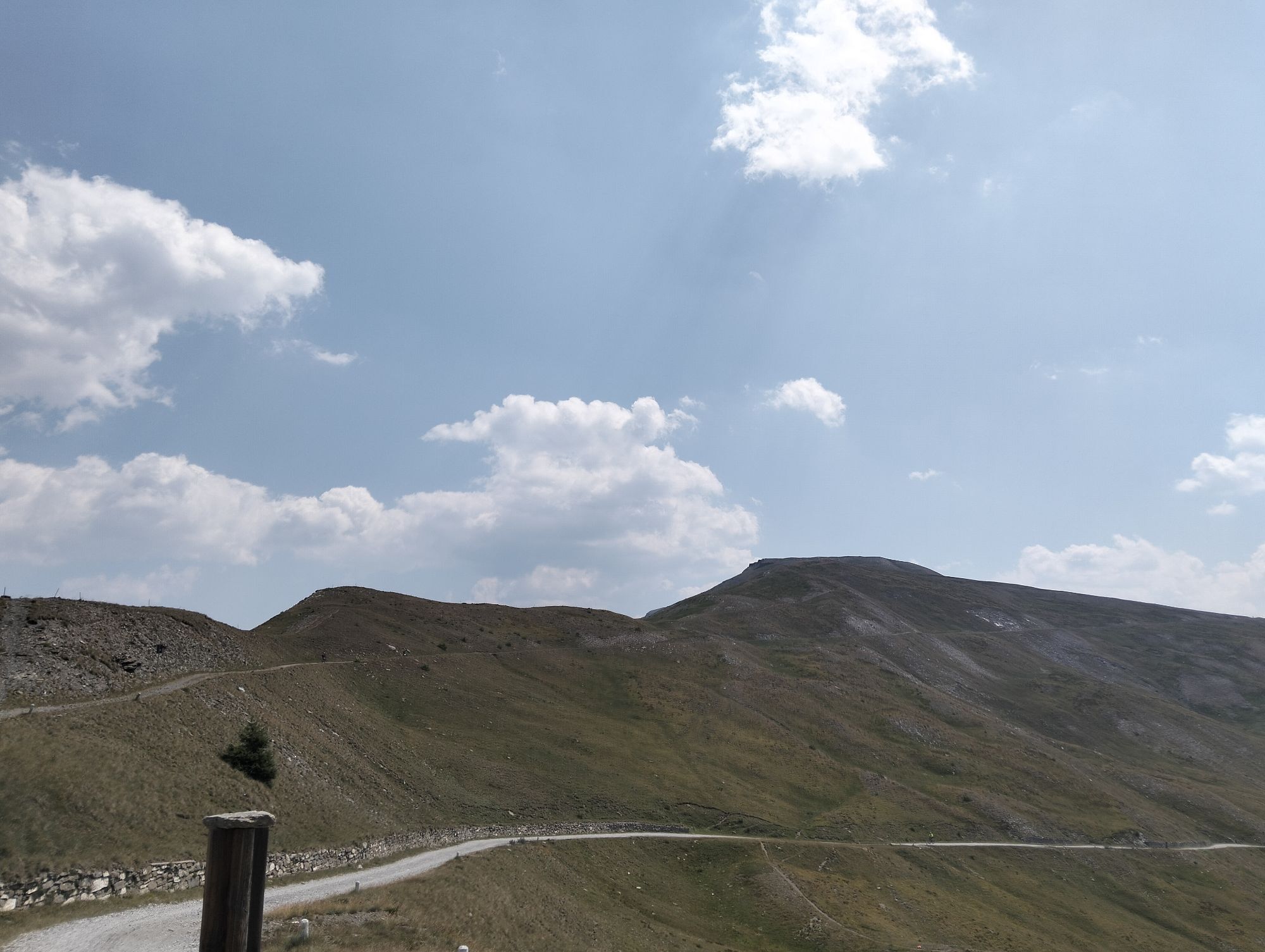
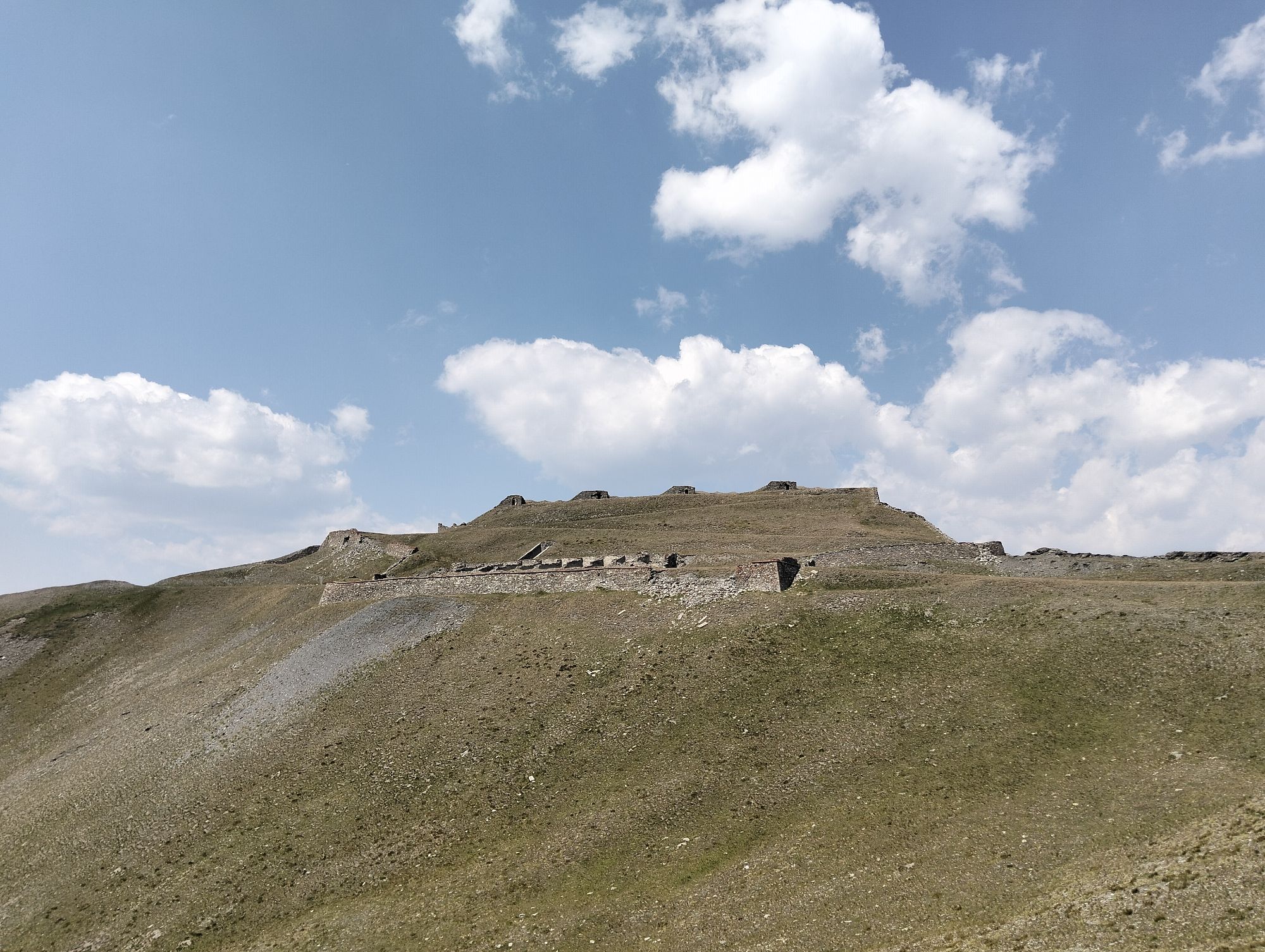
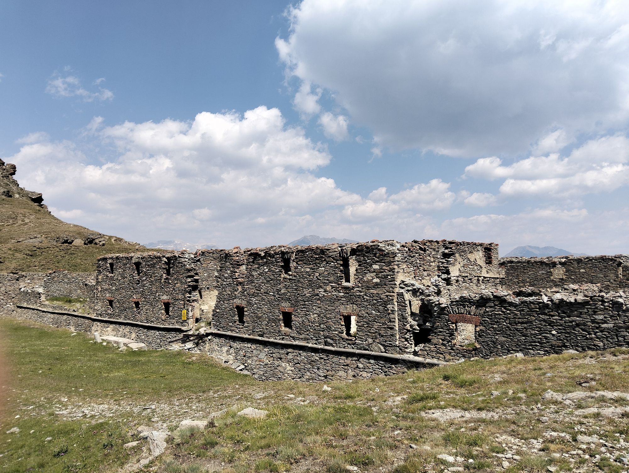
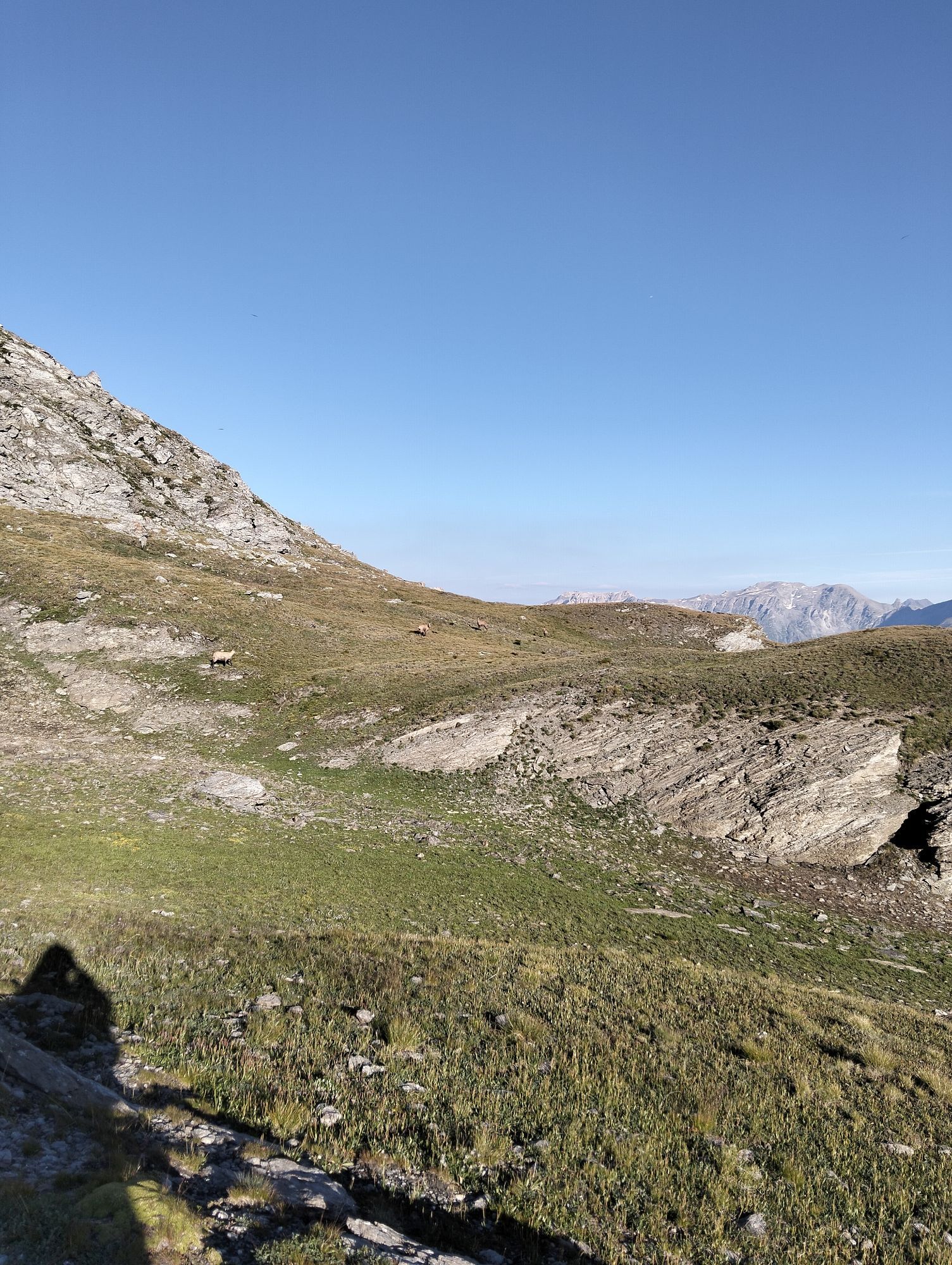
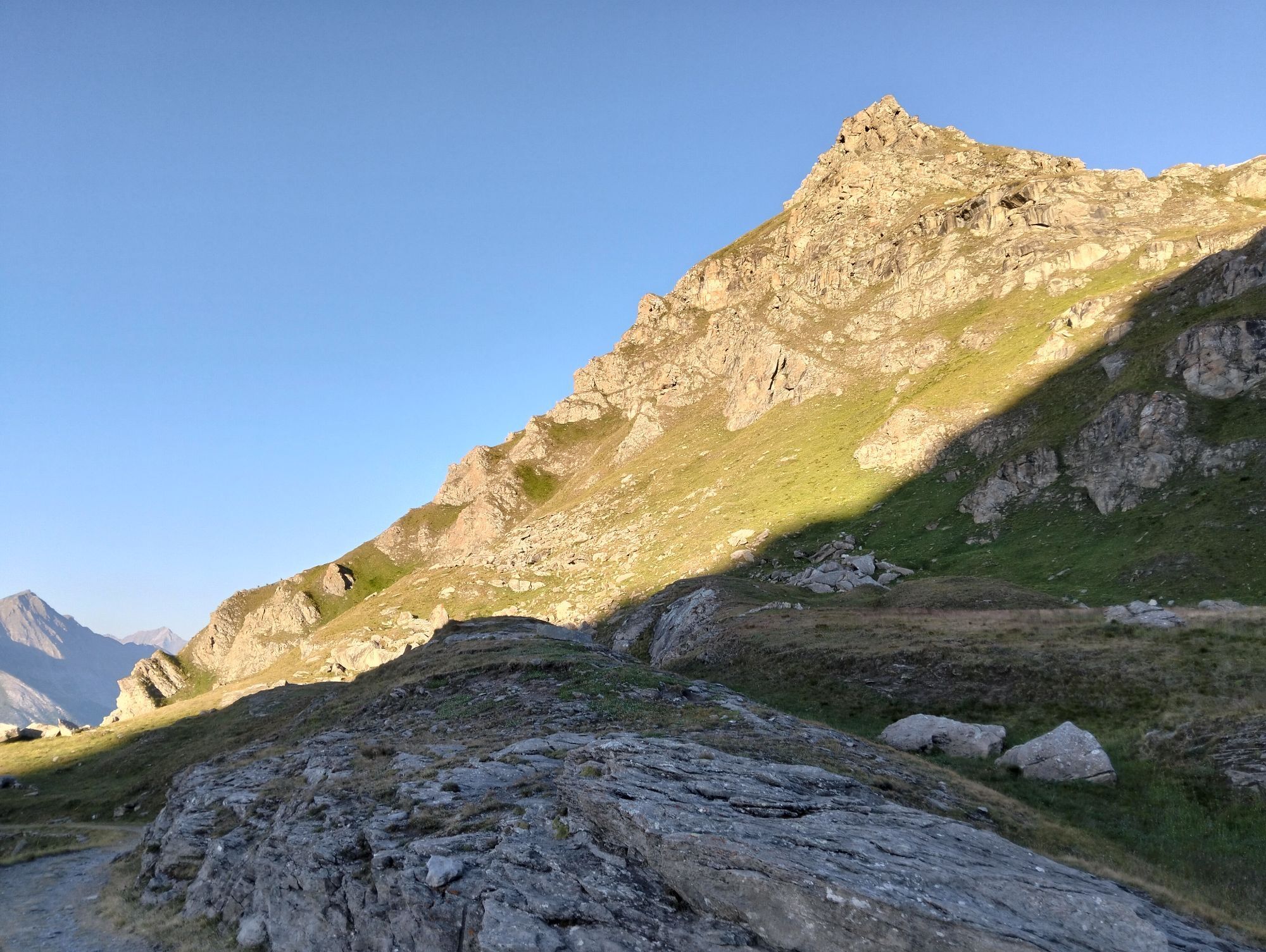
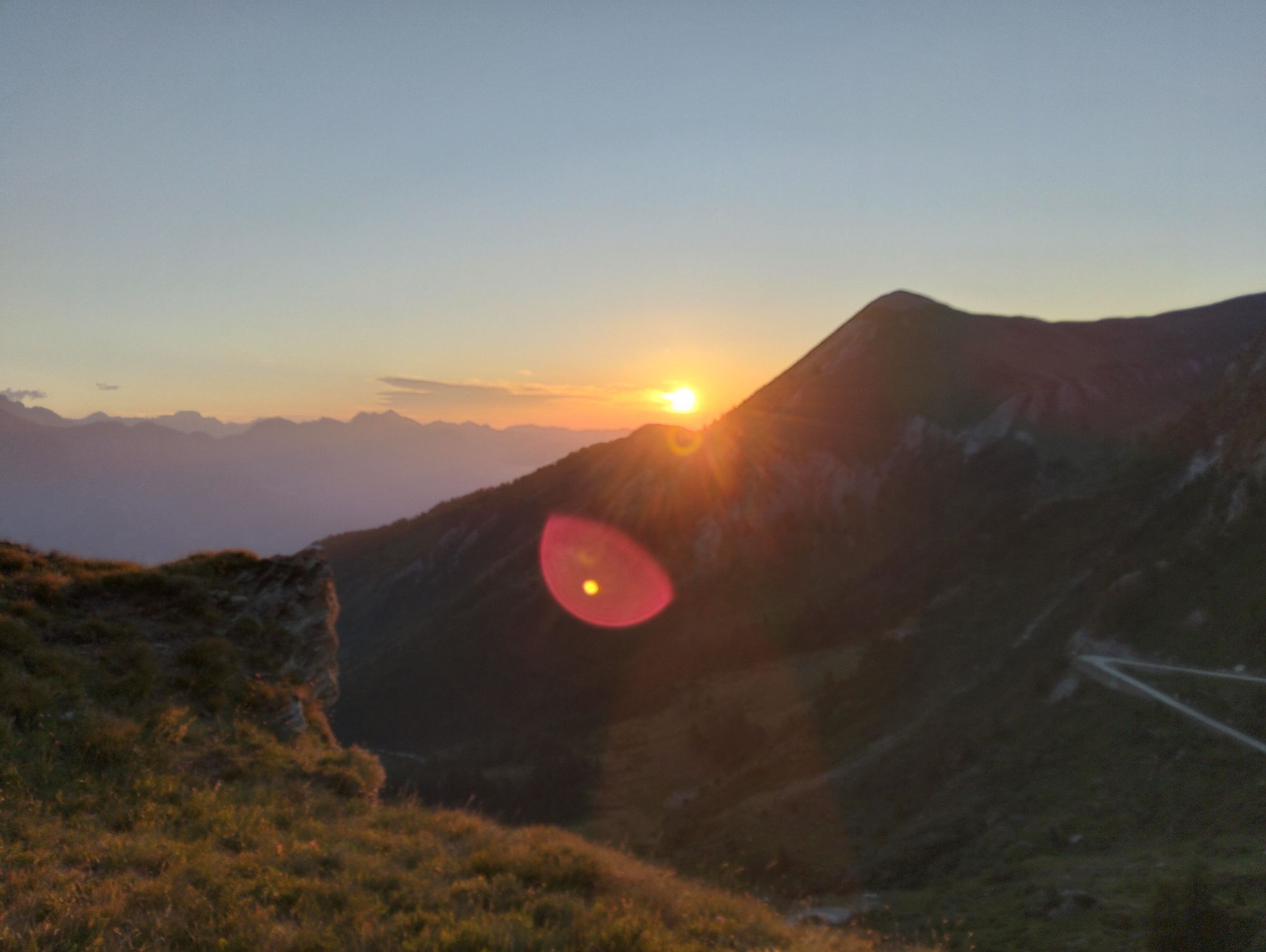
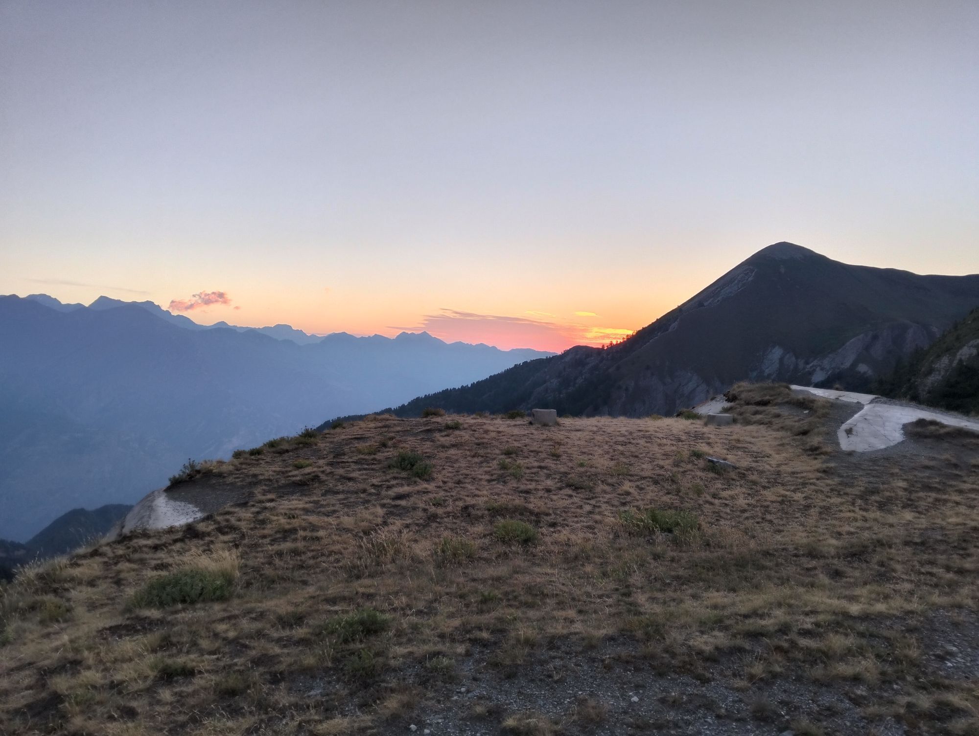
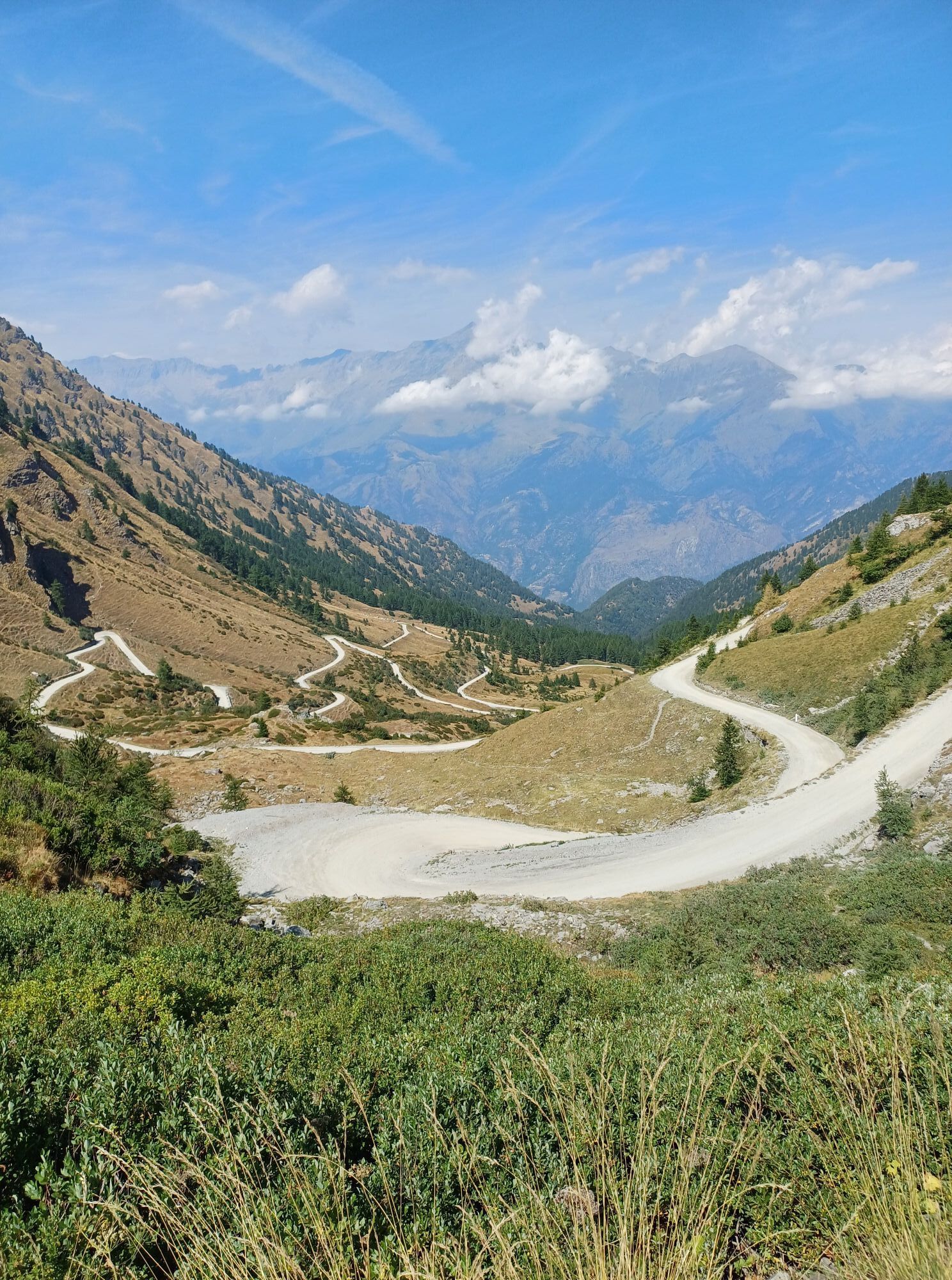

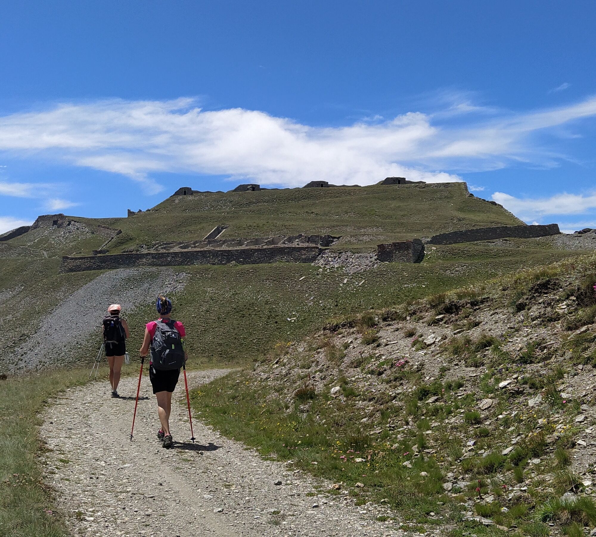
From Pian dell'Alpe to the Forte del Colle delle Finestre, witness of the epic climb of the Giro d'Italia, the route continues along the road that leads to the high dirt road leading to the remains of...
The route of this stage does not in itself present great technical difficulties regarding the identification of trails and their slope. The EE difficulty is given more by the length of the route and the ability to evaluate weather forecasts and therefore the speed of travel in case of need. It is a stage that completely develops at altitude where wind is possible, where there are no shelters, and where, often, there is fog especially from the afternoon onwards.
Partial travel times: Pian dell'Alpe-junction for Ciantiplagna 3h 30min / Ciantiplagna junction–Gran Serin barracks 1h 20-1h 30min / Gran Serin barracks-Casa Assietta refuge about 2h 10min.

To continue from Colle delle Finestre there are 2 options:
1. just before reaching the pass you can take the military trail/road on the left, easily identifiable thanks to the wooden arch indicating the Assietta road;
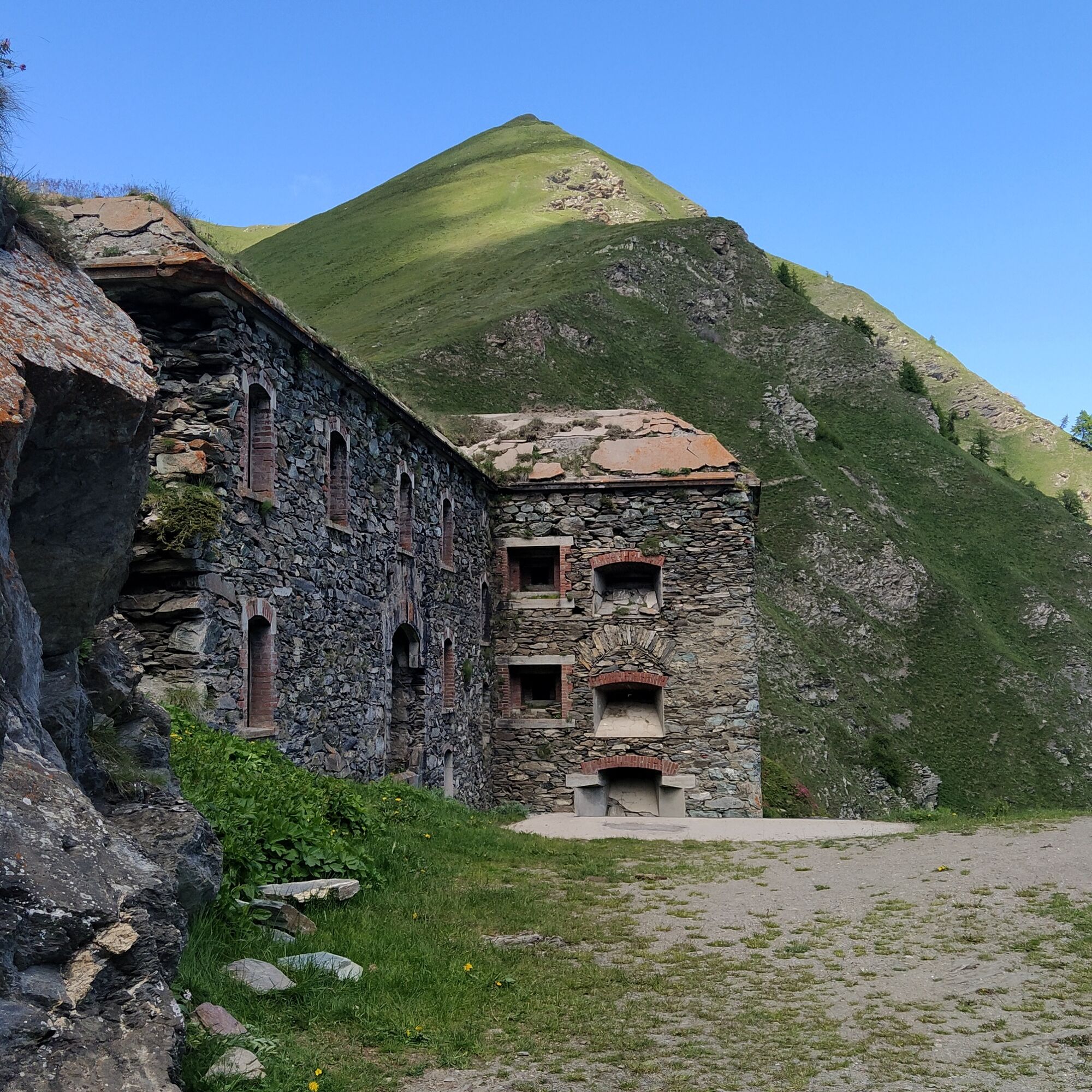
2. the other option starts directly above the fountain, follows a trail that leads to a first fortification, the Fortino del Colle delle Finestre. The trail continues to the left of the fort, and when dark rocks are seen the trail disappears but can be found again by bypassing the rocky prominence on the right; from there it is visible again, going down and up.
The two trail options cross shortly after on the old military road, just before a bulletin board with an information panel. Continue the climb following the road and come across a water point at the Fountan Murô spring. In this section of road there is a beautiful view over the Val Chisone side and Pian dell'Alpe. Then you encounter a detour due to a landslide on the road that leads to the upper hairpin. The detour is marked by a specially posted sign and the trail is indicated by white-red markings painted on rock.
At the end of the detour the trail rejoins the road and you reach the Colle della Vecchia with its very characteristic “tooth” shaped boulder, well visible also from Pian dell'Alpe.
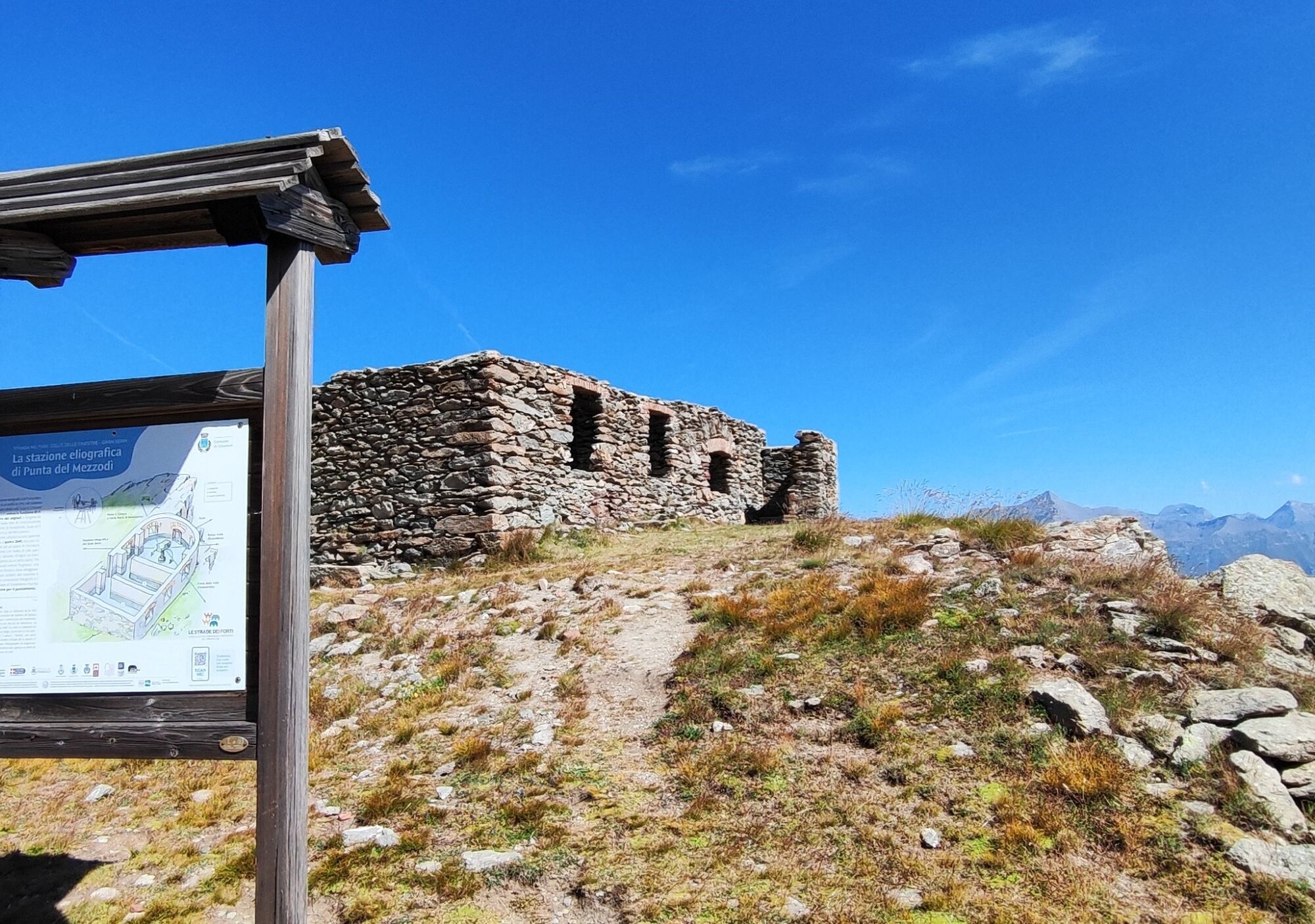
Then follow the military road faithfully which gently climbs around a beautiful snow valley with well visible striated boulders, until you meet the Punta Mezzodì heliographic station (Observatory), which functioned as a signal repeater in communications between Forte di Fenestrelle and Forte Gran Serin, Susa and Moncenisio through light flash messages.
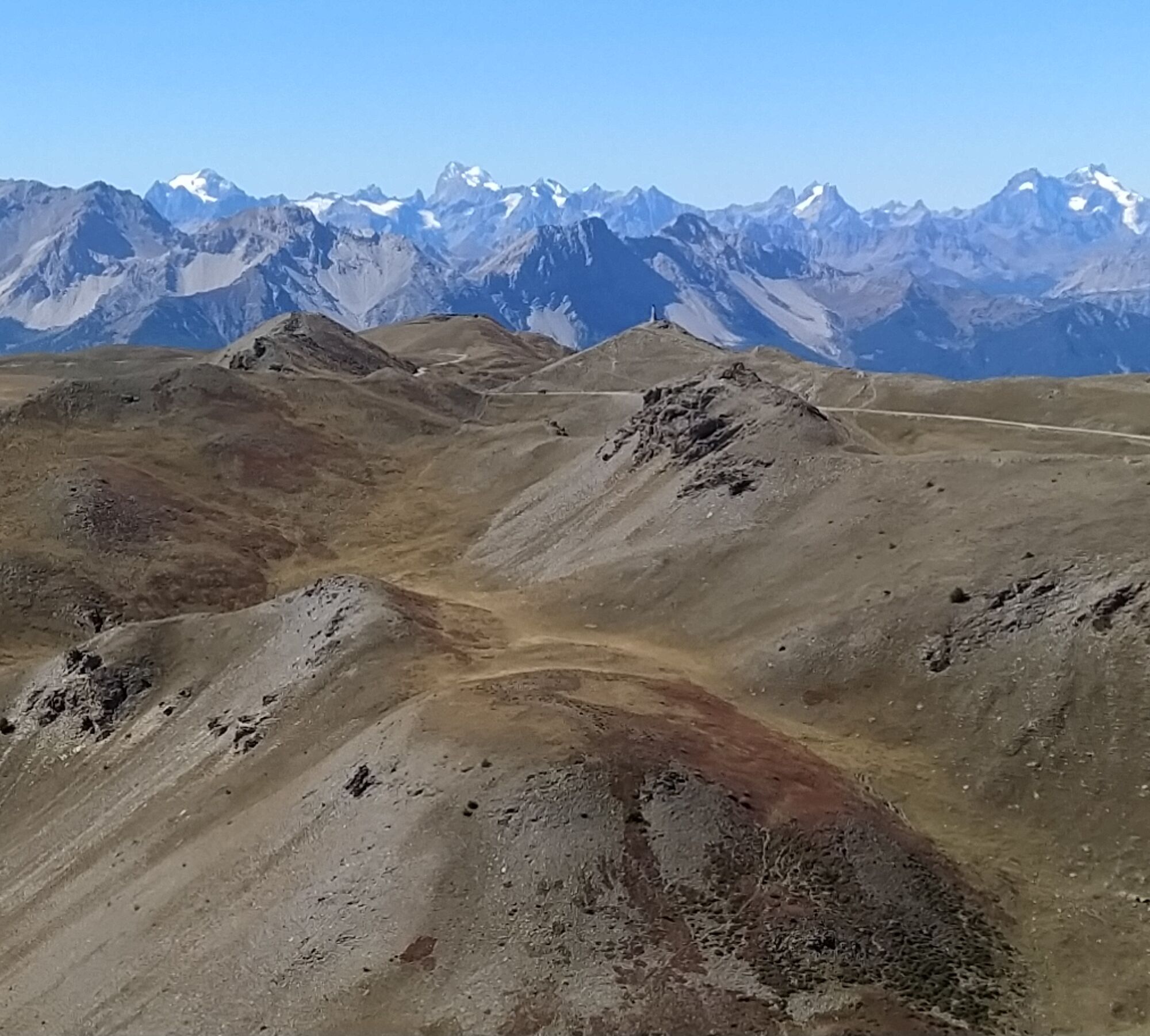
Continue still crossing along the route a shelter building and then the junction for Cima Ciantiplagna. At the junction there is an old sign indicating the trail to the summit, very panoramic with a 360° view of the valleys and the military road that winds along the ridge. From the summit you can either return along the ascent trail and rejoin the road at the junction, or go back 50 meters and take, in the opposite direction to the outbound route, a trail first faintly visible then increasingly evident that follows the ridge until it crosses the road again. If you don’t want to make the detour to Cima Ciantiplagna just follow the road faithfully which continues with hairpins and very panoramic stretches.
If necessary, you can replenish water by following the indicated detour along the road to a spring about 15 minutes away outside the route.
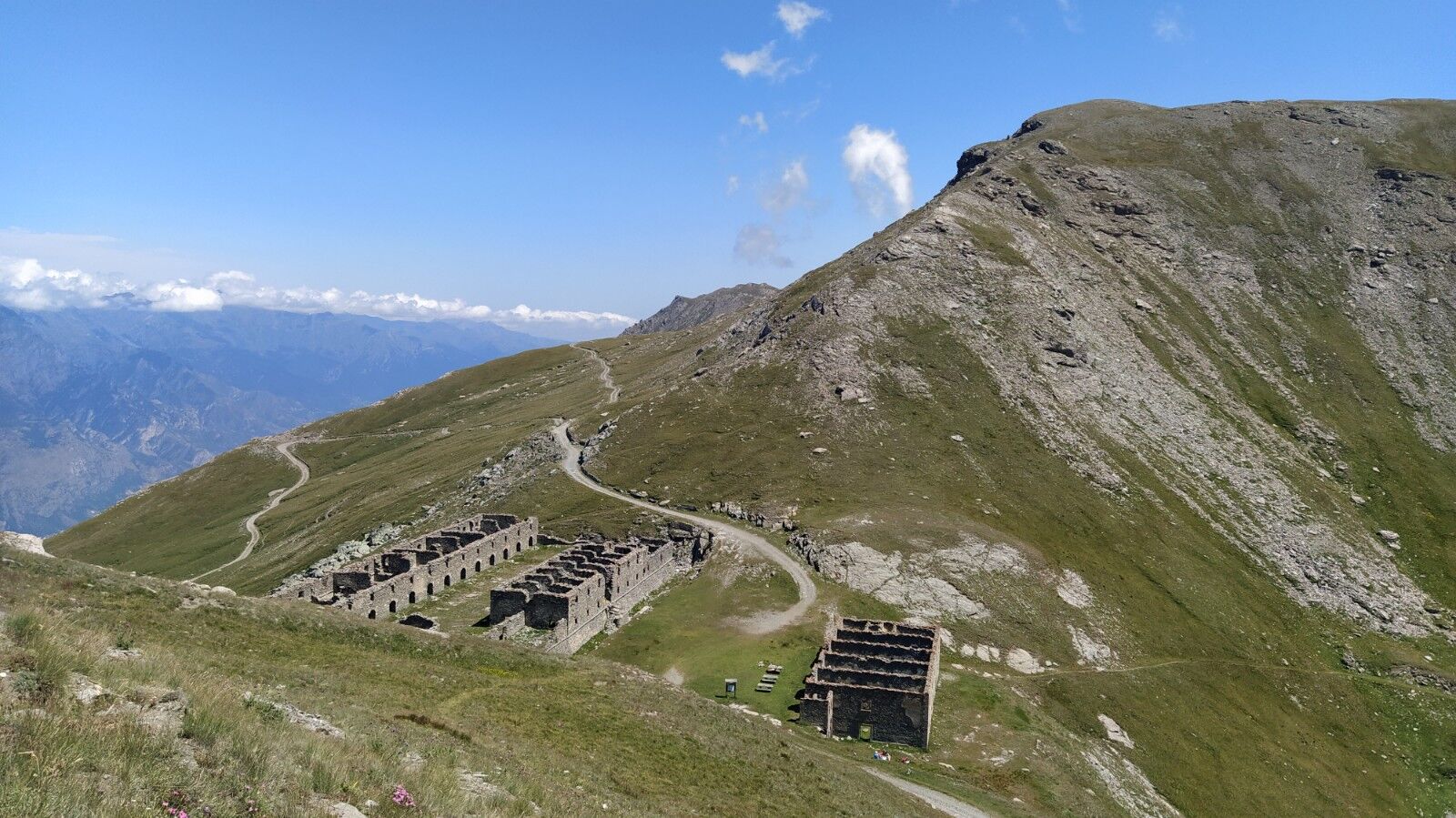
The road continues and moves to the Val Susa side where it is possible to spot two small lakes: the small lake and then the large lake just before arriving at the Gran Serin barracks. These are imposing buildings that could house up to 850 soldiers at 2550 meters altitude. The Gran Serin barracks, now in ruins, are located at a wide and flat point of the road where there is a signboard for the former military road equipped with a signboard for Le Stade dei Forti and picnic tables: it is an excellent panoramic spot with the possibility of a break also using the tables available onsite.
This fortification housed the militias operating in the fort located shortly ahead and higher up along the road. Punta Gran Serin is half an hour from the barracks: it is possible to visit it and observe the buildings and excavations that formed it. From the barracks within about 1 hour you reach the pass of Assietta, site of the famous battle fought on July 19, 1747 and today location of the traditional historical reenactment during the annual Piedmont festival.
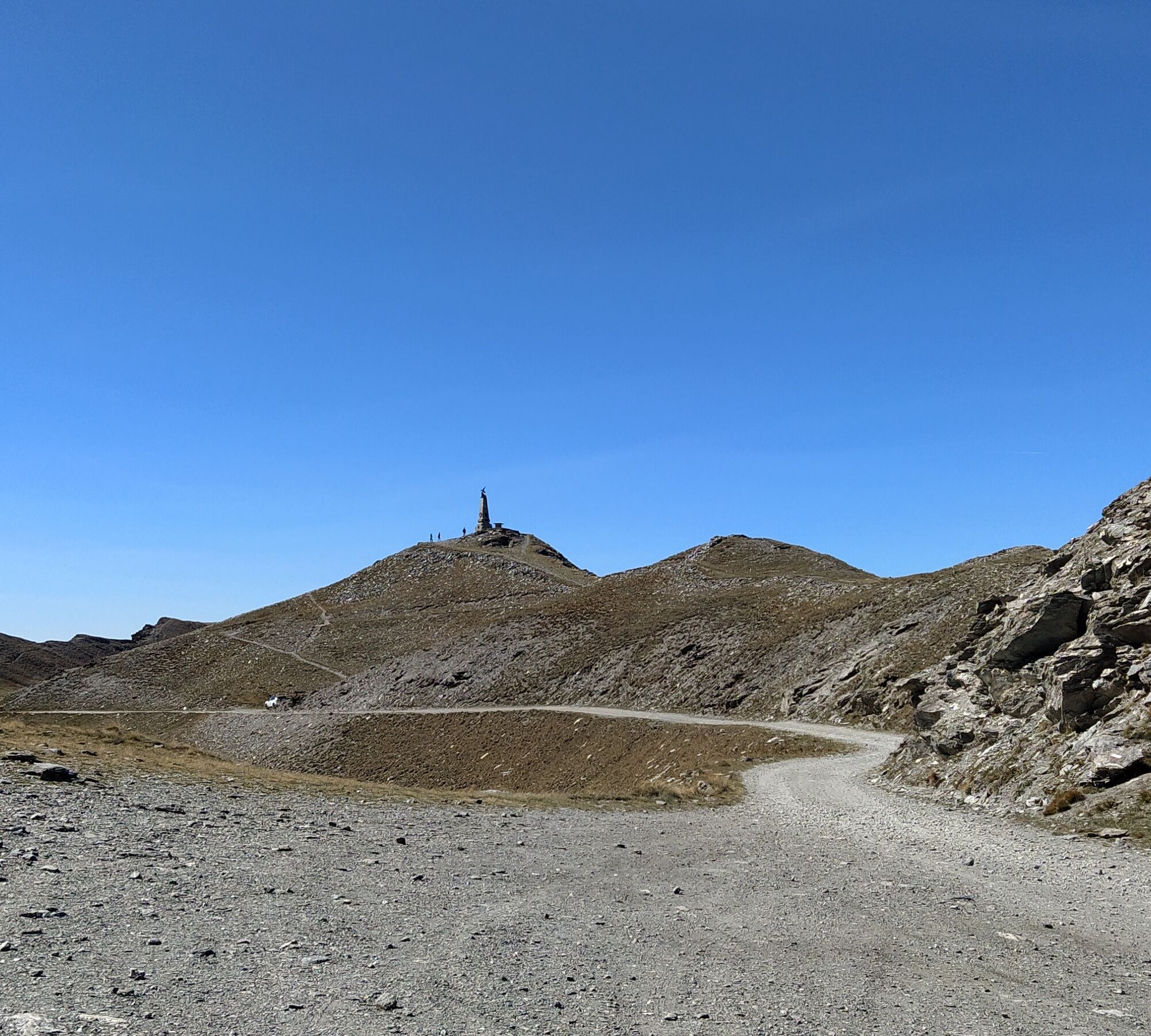
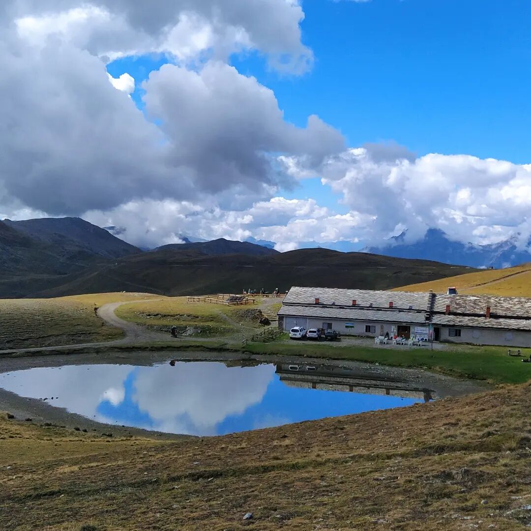
Passing just below the head of Assietta, we can admire the obelisk bearing the Alpine eagle and continue until arriving at the Lake of Assietta and the Casa Assietta refuge.
Wear clothing and footwear suitable for the environment and the season.
If you come from Turin, pass Pinerolo, go up the Chisone Valley along SP 23 and, after Fenestrelle, passing the tunnel, leave the main road and turn right towards Usseaux.
You can reach the Pian dell'Alpe plateau by car, but it is also possible to park in the village of Usseaux and continue on foot.
Before undertaking any hike, it is recommended to check weather bulletins or ask for information at local Tourist Offices.
It is good practice not to hike alone, always inform someone about your destination.
Do not litter the environment but carry your waste with you, collecting any left by others if possible.
Travel times indicated are approximate and may vary depending on weather conditions and personal ability.
In winter it is also possible to go snowshoeing, if there is enough snow.
The start of this stage can also be made from Usseaux by adding detour 8a (Le Strade dei Forti - Stage 8a start from Usseaux)
Visit www.lestradedeiforti.it for more information.

Oblíbené prohlídky v okolí
-
5.0
La Via dei Saraceni (Sauze d'Oulx)
středníMountainbike 33.6 km -
SAUZE D'OULX Richardette - Montagne Seu )
středníMountainbike 19.9 km -
5.0
OULX Montagne Seu
světloTuristika 5.28 km -
OULX Borgata Seu (Gran Bosco Natural Park)
světloSněžnice 5.93 km -
PRAGELATO Colle dell'Assietta
heavyMountainbike 53.3 km -
5.0
SAUZE D'OULX Gad (trail no. 9)
světloTuristika 2.82 km -
SUSA From Susa to Rocciamelone
heavyTuristika 13.7 km -
SESTRIERE Assietta Road
středníMountainbike 43.3 km -
FENESTRELLE MTB to Selleries Refuge
středníJízda na kole 16.0 km -
PRAGELATO The winter charm of the Val Troncea Natural Park
světloSněžnice 4.62 km
Pěší turistika a stopování


Nenechte si ujít nabídky a inspiraci pro vaši příští dovolenou
Vaše e-mailová adresa byl přidán do poštovního seznamu.





