







Le Strade dei Forti - stage 7 from Fenestrelle to Pian dell'Alpe
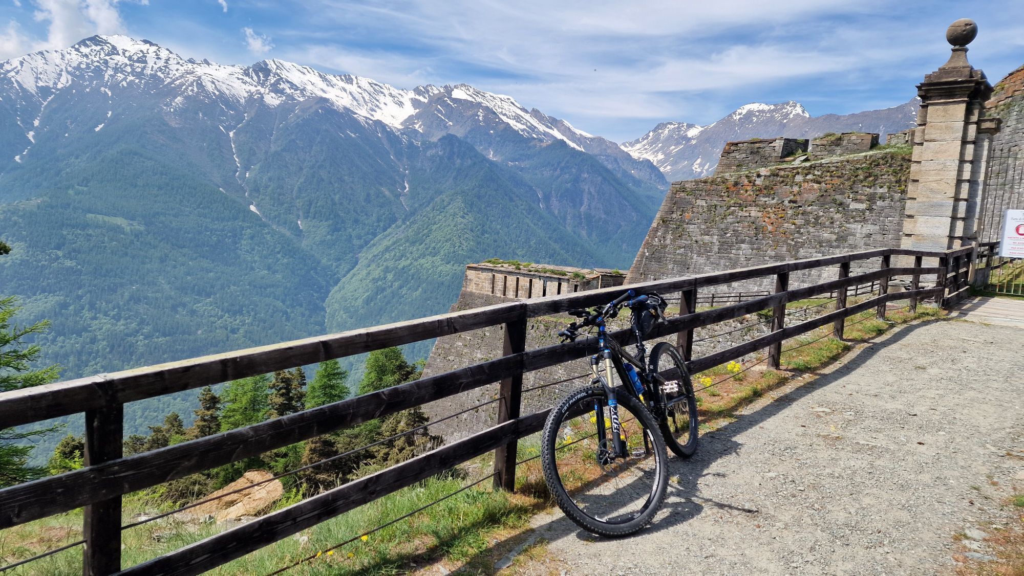
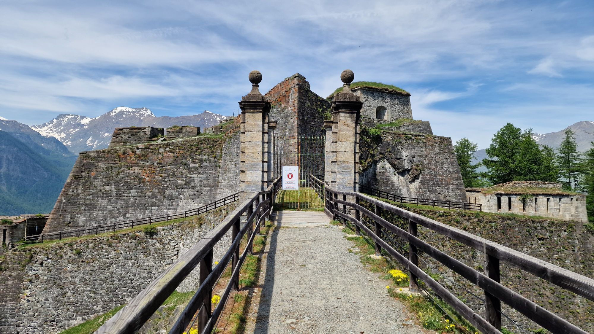
Stage characterized by the possibility to observe closely several imposing fortifications along the route and to walk immersed in the splendid setting of the Orsiera-Rocciavrè Park. From Fenestrelle, patiently...
Along the route there is the possibility to buy local honey at the hut just outside the village on the right before crossing the stream.
Partial walking times: Fenestrelle – Forte delle Valli 1h 40min / Forte delle Valli – Forte Serre Marie 2h 10 min / Forte Serre Marie – Pian dell’Alpe (Alpe Pintas) 40 min

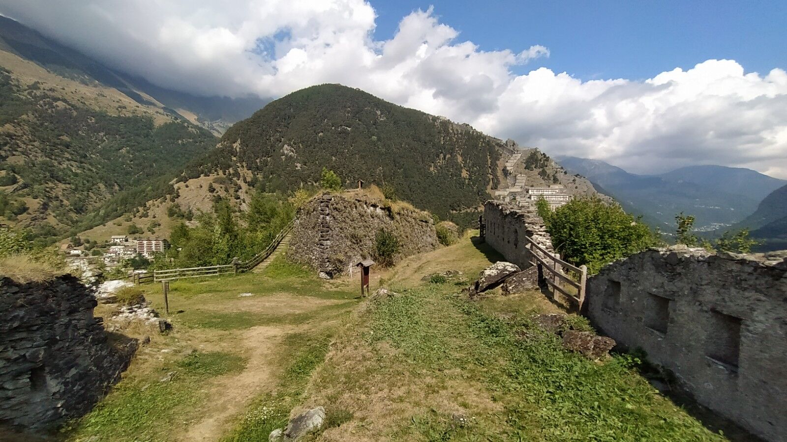
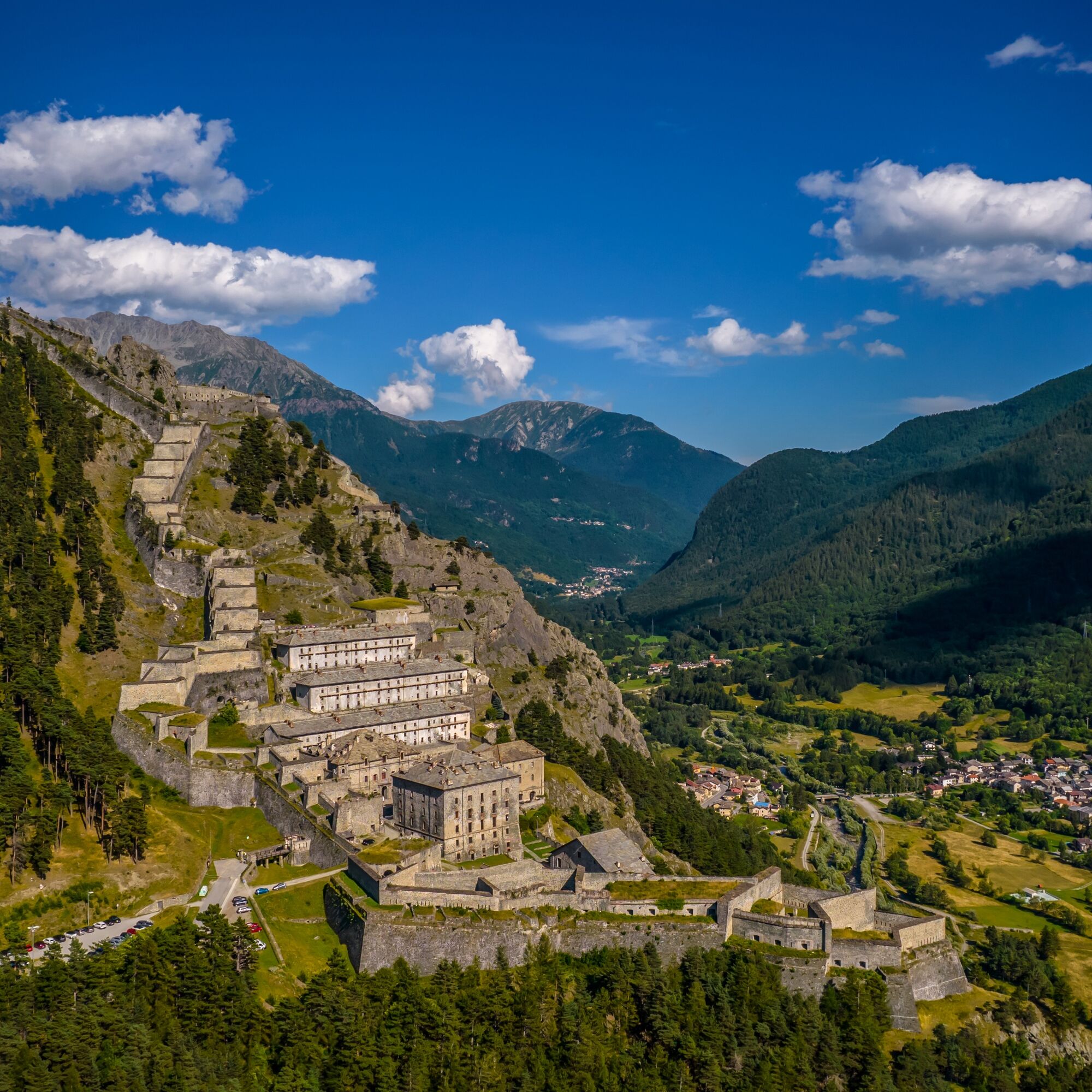
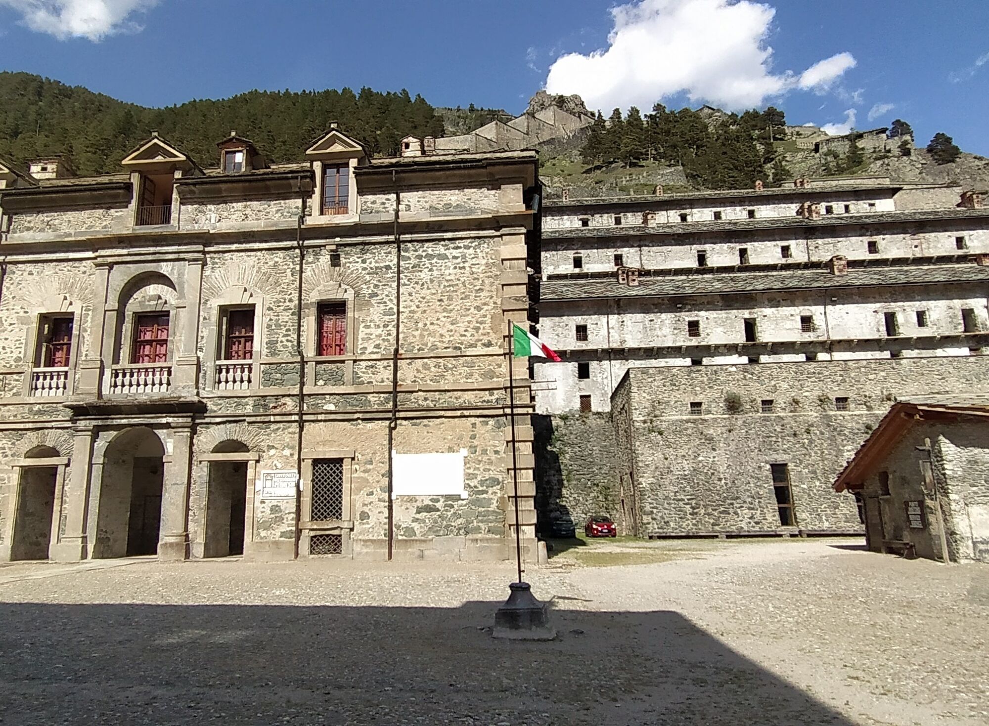

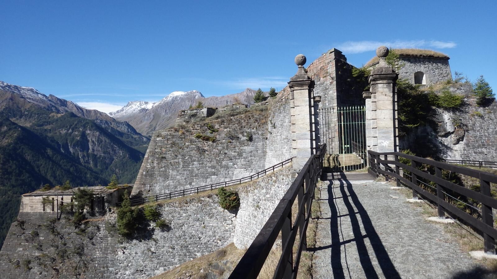

The GPX track starts just before the square where you can take a beautiful path immersed in a pine forest, along which occasional hazel trees can also be found. This mule track is characterized by 26 hairpin bends, stone pavement, and retaining walls because it was built as a service road to transport materials for the construction of the Forte di Fenestrelle, which can be seen imposing throughout the ascent.
You climb through the forest until you glimpse the first walls of the Forte delle Valli, the tallest structure in the Forte di Fenestrelle complex. Follow the path that runs alongside the fortress walls, and through the trees you can already catch glimpses of the small village of Pequerel, recognizable even from afar by the characteristic inverted "V" avalanche barrier surrounding the settlement. Upon reaching the fork, leave the path to follow (on the left) the comfortable dirt road descending slightly with a view of Monte Pelvo.
The vegetation changes compared to the initial section; here you find white alders and larches and an undergrowth rich in raspberries, St. John's wort, wormwood, and other medicinal plants.
Arriving at the village of Puy, follow the trail markers crossing the village and continue following the signs to Pequerel. This section is a bit steeper, and in a short time you reach the spectacular village of Pequerel. There are fountains, murals, and a great view of the Forte delle Valli, left behind. For those interested, there is the possibility of a short detour to a panoramic point where a big bench has been placed. From Pequerel, you can decide to take the detour leading to Usseaux (Le Strade dei Forti - Stage 7a detour to Usseaux). Then, take the road at the exit of the village, which immediately becomes dirt and with 5 hairpin bends leads to the flat road equipped with information panels about the animal species inhabiting the Orsiera-Rocciavrè Park (Management Body of the Protected Areas of the Cottian Alps).
With a short asphalted stretch you reach the Forte di Serre Marie, at 1894 meters altitude. A little higher there is another fortification dating to the same period: the Forte Falouel, more commonly called "Il Dado," reachable by a short detour on a trail.
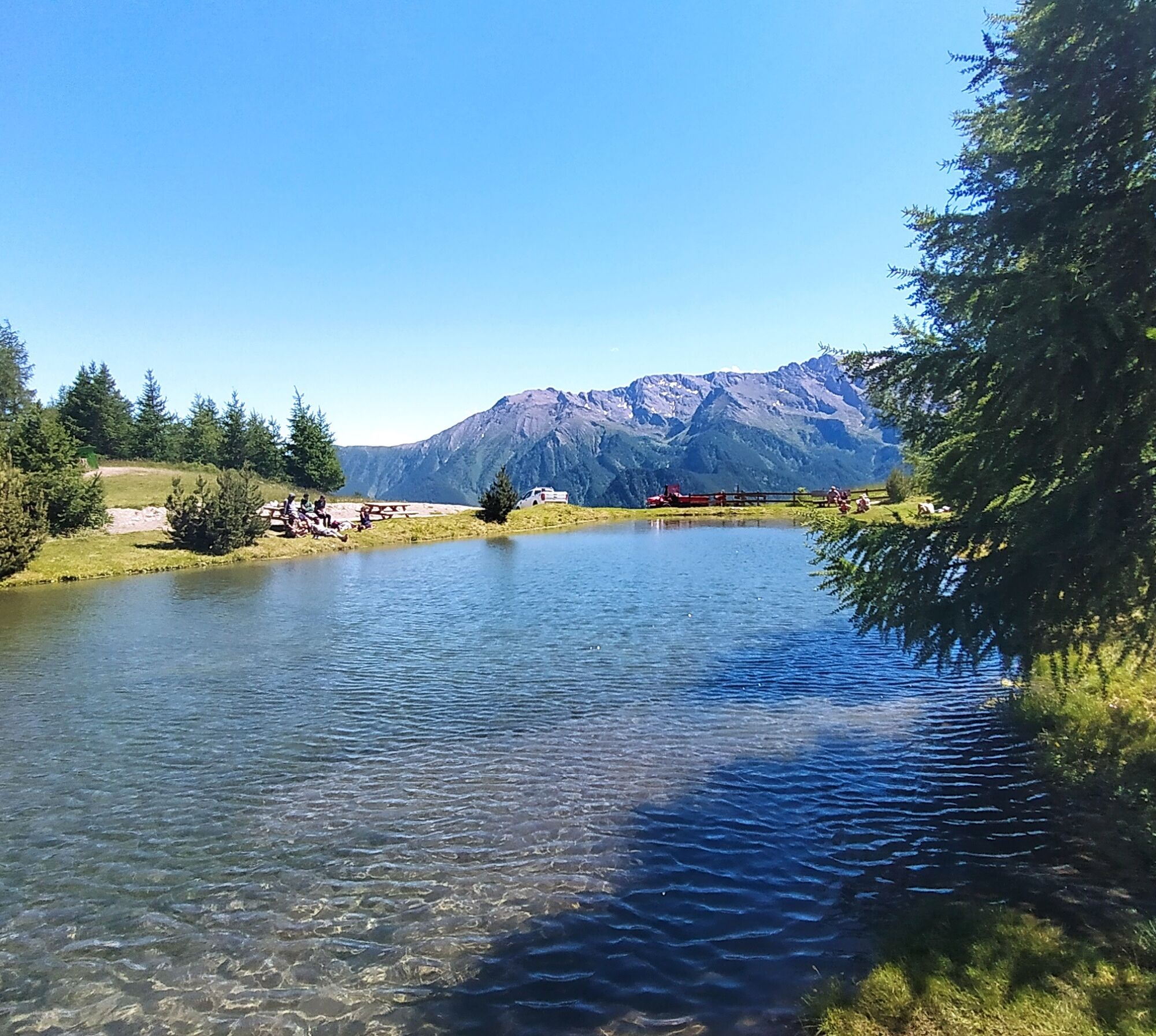
Then continue on the comfortable road running alongside the mountain, offering glimpses and panoramic views on the other side: the Andorno redoubt, Fenestrelle, and the Laux lake. When you reach a fork, take the asphalt road descending to the left to reach the Alpe Pintas Refreshment Point and, if you continue, you encounter The Frog Lake Refuge, the Pian dell'Alpe Agritourism, and in the center of the plateau the Pian dell'Alpe Campground.
Ano
Appropriate clothing and equipment are recommended.
Water points
at the start in Fenestrelle town
fountain at Forte delle Valli
fountains at Puy and Pequerel
Pian dell’Alpe (fountain at Alpe Pintas and at the Pian dell’Alpe Campground)
Reach Pinerolo by following the A55 if coming from Turin, then follow the SP23 towards Sestriere.
In Fenestrelle there is the possibility to park in the town or near the Fort.
Before undertaking any excursion, it is recommended to check the weather reports or ask for information at local Tourist Offices.
It is good practice not to undertake an excursion alone, always inform someone about your destination.
Do not throw waste into the environment but carry it with you, possibly collecting any left by others.
The indicated walking times are approximate and may vary depending on weather conditions and personal abilities.
Oblíbené prohlídky v okolí
-
SAUZE D'OULX Richardette - Montagne Seu )
středníMountainbike 19.9 km -
5.0
OULX Montagne Seu
světloTuristika 5.28 km -
OULX Borgata Seu (Gran Bosco Natural Park)
světloSněžnice 5.93 km -
PRAGELATO Colle dell'Assietta
heavyMountainbike 53.3 km -
La Via dei Saraceni (Sauze d'Oulx)
středníMountainbike 33.6 km -
SUSA From Susa to Rocciamelone
heavyTuristika 13.7 km -
PRAGELATO The winter charm of the Val Troncea Natural Park
světloSněžnice 4.62 km -
PRAGELATO Lake Laux
světloMountainbike 21.2 km -
5.0
Pradamont Alpine pasture
středníTuristika 7.32 km -
The Glorious Return of the Waldensians | Stage 3 Arlaud Refuge - Granges
středníPoutní stezka 16.4 km
Pěší turistika a stopování


Nenechte si ujít nabídky a inspiraci pro vaši příští dovolenou
Vaše e-mailová adresa byl přidán do poštovního seznamu.





