







Cammino di Don Bosco: Stage 2 Basilica of Superga - Abbey of Vezzolano
Starting from the square in front of the Basilica of Superga, the route runs along the Natural Park area towards Baldissero T.se. After about 2 km it reaches the municipal structure of Palouc and then...
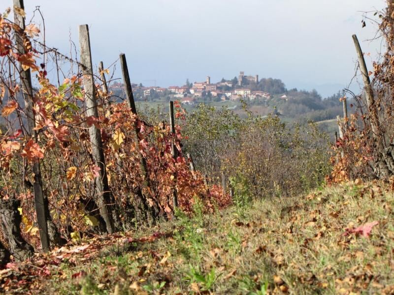
Starting from the square in front of the Basilica of Superga, the route runs along the Natural Park area towards Baldissero T.se. After about 2 km it reaches the municipal structure of Palouc and then continues towards Bric Croce (516 m) and descends towards Bardassano (389 m). A section of the route, the one between Palouc and Bardassano, runs along the crest of the hills and, only for short stretches, on vehicularroads. It then continues in the direction of Sciolze (400 m) along a stretch of provincial road no 118. After leaving the village it reaches the locality of Tetti Fasella and from here continues until it reaches Bric Castagneto (410 m). The last stretch finally leads to the centre of Cinzano (469 m asl), a small hamlet embellished by the Castle and the remarkable panoramic views over the areas of Chieri and Chivasso. With the exception of a short initial stretch (about 1 km) and the diversion from Tetti Fasella to Bric Castagneto, the route of this stage is the same as that of the Superga-Vezzolano-Crea itinerary.


Oblíbené prohlídky v okolí
-
MONCALIERI - Biking on the water: Le Vallere and Valentino Park
světloJízda na kole 17.0 km -
CAMBIAN toward Riva presso Chieri
světloJízda na kole 22.8 km -
ANDEZENO - Panoramic loop towards Pino Torinese
středníJízda na kole 35.0 km -
TURIN - The tour of the Turin hillside on the "scenic road"
středníSilniční kolo 36.7 km -
CHIERI - Among vineyards, hills and history toward the Abbey of Vezzolano.
středníSilniční kolo 58.6 km -
Gran Gravel Tour in the Oltre Collina Torinese in 4 stages
heavyCyklistika na velkou vzdálenost 230.6 km -
CHIERI - Ring in the surroundings
středníJízda na kole 24.4 km -
CHIERI - Ring toward Pavarolo, Montaldo T.se and Andezeno
středníJízda na kole 32.9 km -
CASALBORGONE - Bosc Grand and Bosco del Vaj by MTB
středníMountainbike 22.6 km -
CHIERI - Loop towards Riva presso Chieri
Jízda na kole 32.5 km
Pěší turistika a stopování


Nenechte si ujít nabídky a inspiraci pro vaši příští dovolenou
Vaše e-mailová adresa byl přidán do poštovního seznamu.





