







TORRE PELLICE Upslowtour - Loop 7 of Castelluzzo
Úroveň obtížnosti: S2
The loop starts from the historic center of Torre Pellice and crosses the so-called "Waldensian Quarter" and some hamlets, up to the locality Serre (1,160 m). From here, on panoramic dirt road along the...
The loop starts from the historic center of Torre Pellice and crosses the so-called "Waldensian Quarter" and some hamlets, up to the locality Serre (1,160 m). From here, on panoramic dirt road along the hillside which at some point becomes a path, you reach the Carofrate stream, to ford carefully. At this point, you descend along a mule track, demanding and walkable only on foot in some sections, that crosses a beautiful conifer forest up to the hamlet Bonnet (870 m). After briefly retracing the same outgoing road, with a climb you ascend the Biglione stream up to the panoramic locality of Tagliaretto (760 m). Then you return to Torre Pellice passing along the elegant Viale Dante, to quickly return to the starting point.
With a branch from the hamlet Serre it is possible to reach the locality Gardetta (1,235 m), a place name indicating a spot overlooking the entire surrounding landscape.
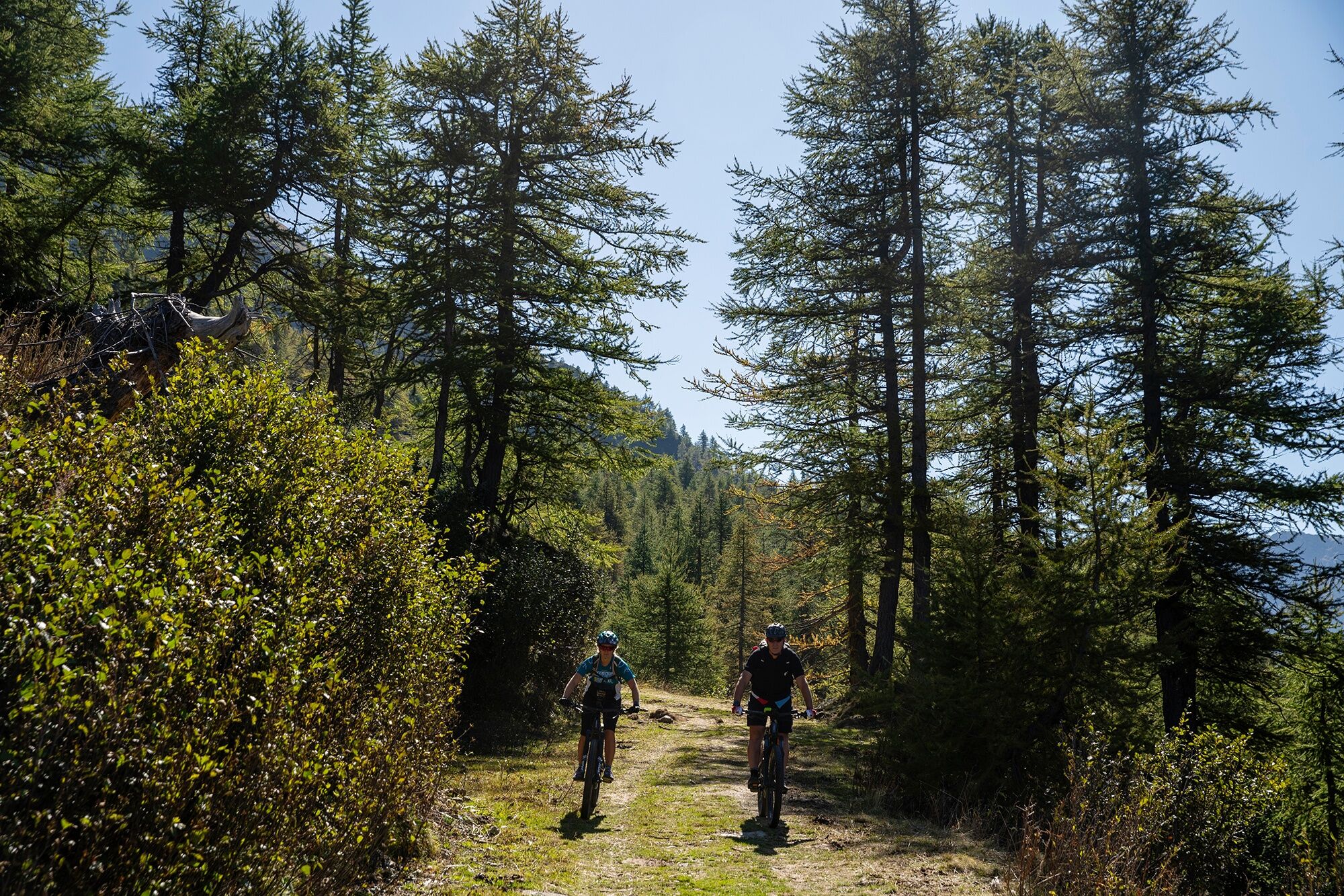
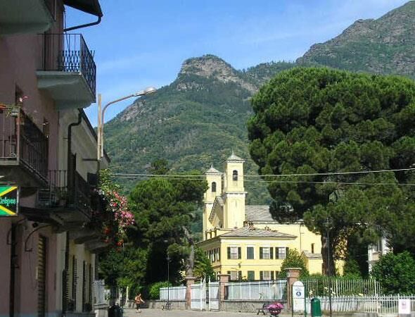
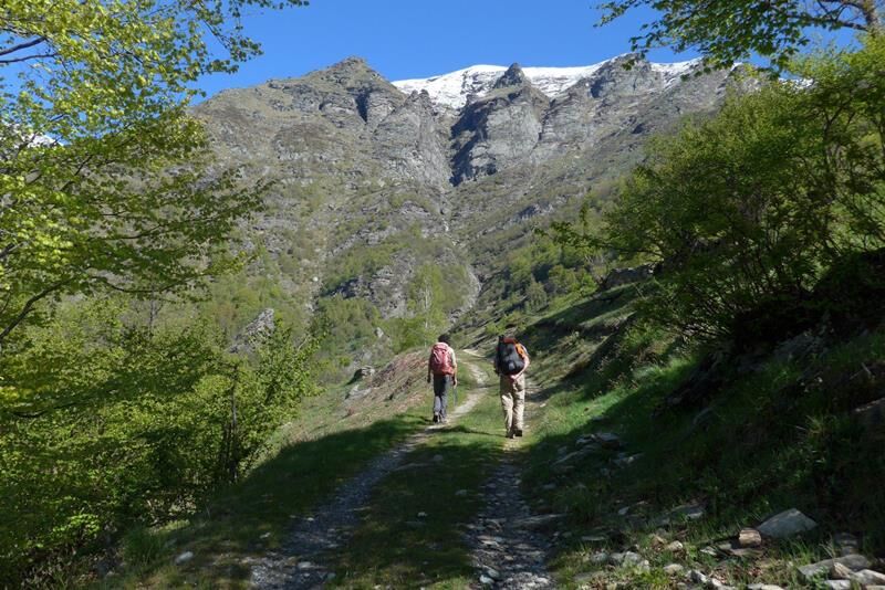
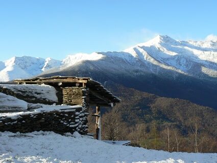
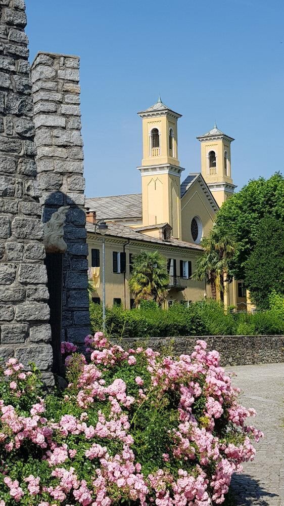
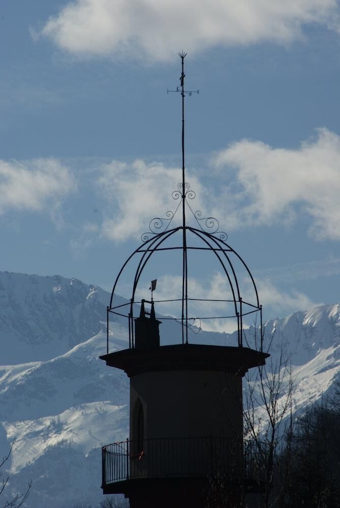
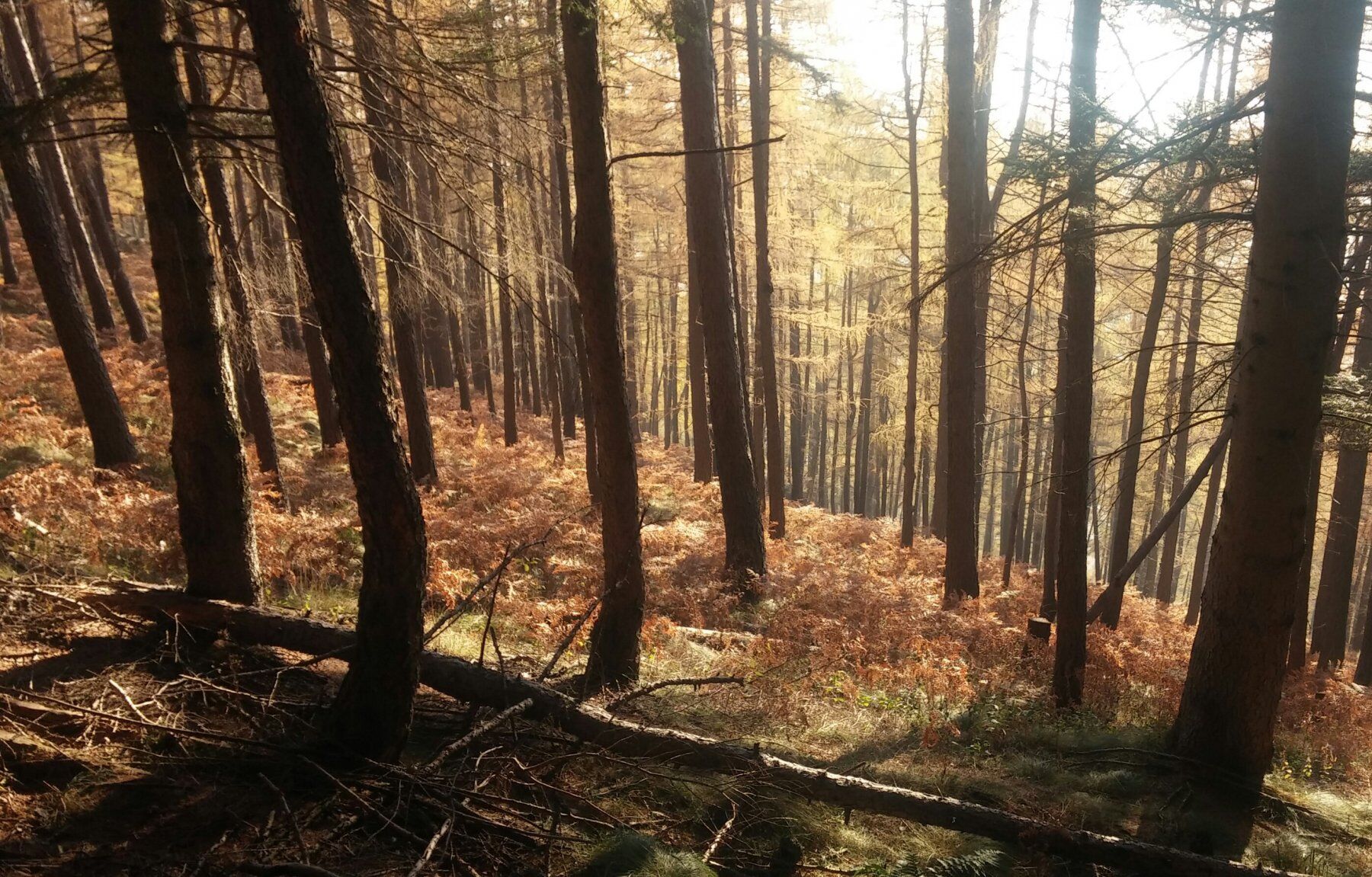

The loop starts from the historic center of the Municipality of Torre Pellice, then it follows Arnaud, Beckwith, and Bert streets crossing the so-called "Waldensian Quarter" and the village of Santa Margherita; it passes behind the hospital via Gay and reaches the hamlet of Coppieri (610 m a.s.l.).
Take the left fork along the paved road leading to the houses of Chabriols Superiori (710 m a.s.l.), then take the dirt road on the left that descends to the hamlets of Chabriols Inferiori – Bouissa. After a few meters on the provincial road, immediately take the right fork that climbs via Teynaud reaching the hamlet of Ciarmis (730 m a.s.l.), in the territory of Villar Pellice.
From here, take an agro-forestry-pastoral track which, with a series of hairpin bends, climbs the steep valley of the Rospart stream touching the hamlets of Ciarbounil and Serre (1,085 m a.s.l.). From here, if you want, you can take fork A which continues along the agro-forestry-pastoral track and with some hairpin bends reaches the locality Gardetta (1,235 m a.s.l.), a place name indicating a spot that overlooks the entire surrounding landscape.
The main route instead keeps to the right continuing always on panoramic dirt road along the hillside, which at a certain point becomes a path. You carefully cross a ford on the Carofrate stream, then ignore the signs leading to Castelluzzo (a notable rocky peak overlooking the middle Val Pellice reachable only on foot with a short detour); instead, you descend along a mule track marked as path no.133, demanding and in some sections walkable only on foot, which crosses a beautiful conifer forest arriving at the hamlet Bonnet (870 m a.s.l.).
At this point, you take back the asphalt road and, after retracing a short stretch of the same way back to Coppieri, you climb a stretch of the Biglione stream basin reaching the panoramic locality of Tagliaretto (760 m a.s.l.). From here you descend into the town of Torre Pellice passing along the elegant Viale Dante, to quickly return to the starting point.
Adequate clothing and equipment are recommended.
The path between Rio Carofrate and the hamlet of Bonnet is rideable only by the most experienced and trained cyclists.
From Turin, simply take the A55 motorway to Pinerolo, then follow the SP 161 of Val Pellice for about 15 km to Torre Pellice.
To reach Torre Pellice, after arriving in Pinerolo by bus or train, it is possible to take the bus of the company Arriva that goes to the town center.
Two large free parking lots are recommended near the starting point, in Piazza Cavour and Piazza Stazione
S2
Rideability: 92%
Recommended direction: CLOCKWISE
Technical difficulty BC+/OC+
Oblíbené prohlídky v okolí
-
5.0
BOBBIO PELLICE Upslowtour - Ring 2 of the refuges
heavyJízda na kole 37.6 km -
5.0
Invincibles valley - Alpe Caugis
Turistika 15.3 km -
5.0
BOBBIO PELLICE: Hike to the Barbara Lowrie Mountain Hut
heavySilniční kolo 9.19 km -
BRICHERASIO The Via della Pietra
světloCyklistika na velkou vzdálenost 11.5 km -
BOBBIO PELICE Trekking in the hamlets and forests around Bobbio
středníTuristika 7.72 km -
TORRE PELLICE The Shepherds' Way
světloMountainbike 11.0 km -
TORRE PELLICE Naturalistic trail "The Jay"
světloTuristika 10.2 km -
The Fort Roads - stage 11 from Massello to Prali
heavyPoutní stezka 13.7 km -
PRAROSTINO From Piani to Sonagliette and back - SLOWLY TOGETHER
světloTuristika 6.60 km -
VILLAR PELLICE Inverso path
světloTuristika 5.62 km
Pěší turistika a stopování


Nenechte si ujít nabídky a inspiraci pro vaši příští dovolenou
Vaše e-mailová adresa byl přidán do poštovního seznamu.





