







SAUZE DI CESANA Cima Bosco
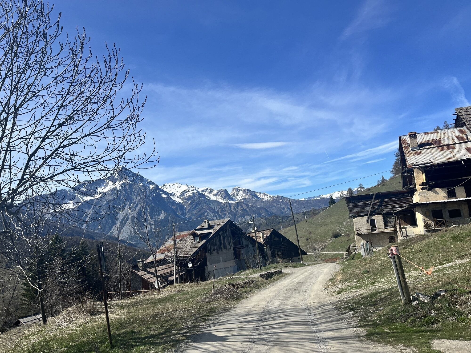
Departure from the locality of Sauze di Cesana, in the area adjacent to the Ripa stream: from here, a dirt road starts the climb to reach Cima del Bosco, a mountain located at the confluence of the Argentera...
Departure from the locality of Sauze di Cesana, in the area adjacent to the Ripa stream: from here, a dirt road starts the climb to reach Cima del Bosco, a mountain located at the confluence of the Argentera and Thuras valleys.
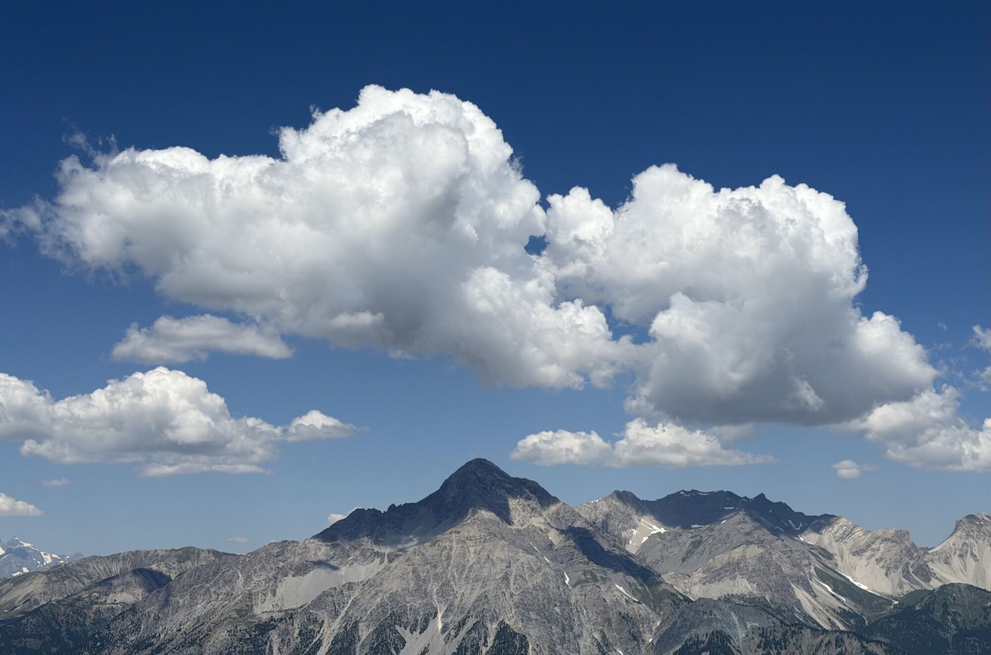
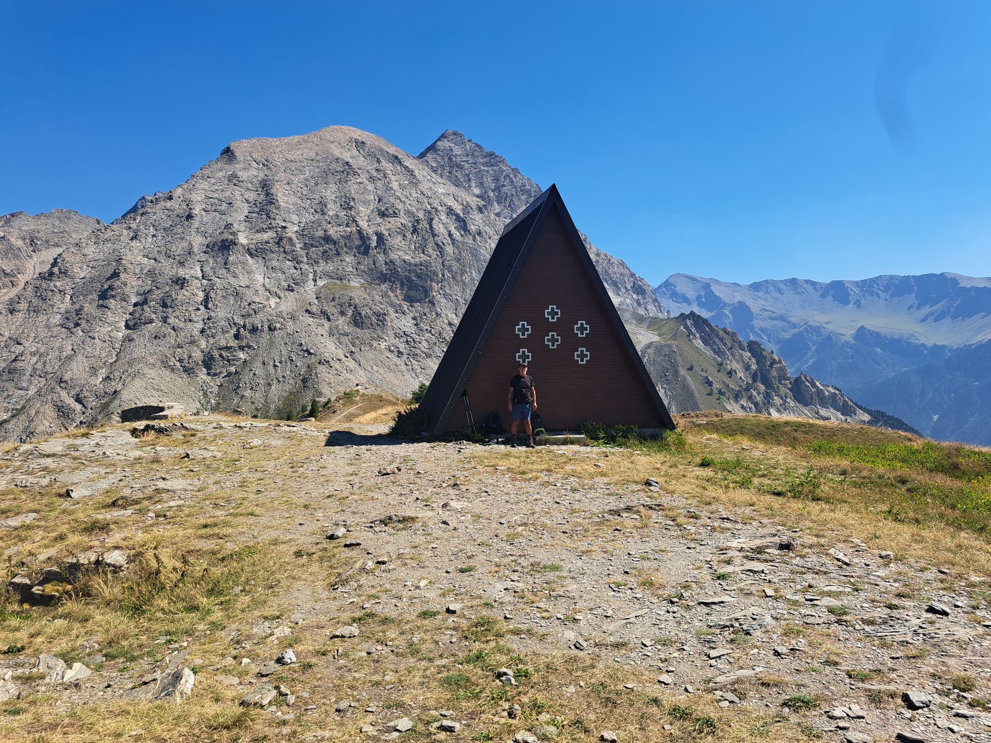
The route maintains a constant slope for most of the way inside a forest, offering us shelter from the sun in the warmer seasons. The ascent ends at 2380 meters, reaching the chapel located at the top of the mountain. The position of this summit allows us to have the whole surrounding space free, as if we were on a balcony to admire the panorama of the upper valley.
The descent takes place on a path that offers fun and reaches the charming village of Thures, from where, along the asphalt road, you reach Bousson and with a final stretch of a few kilometers return to the starting point.
Support and technical description by Jacopo Spatola - Bike tour guide


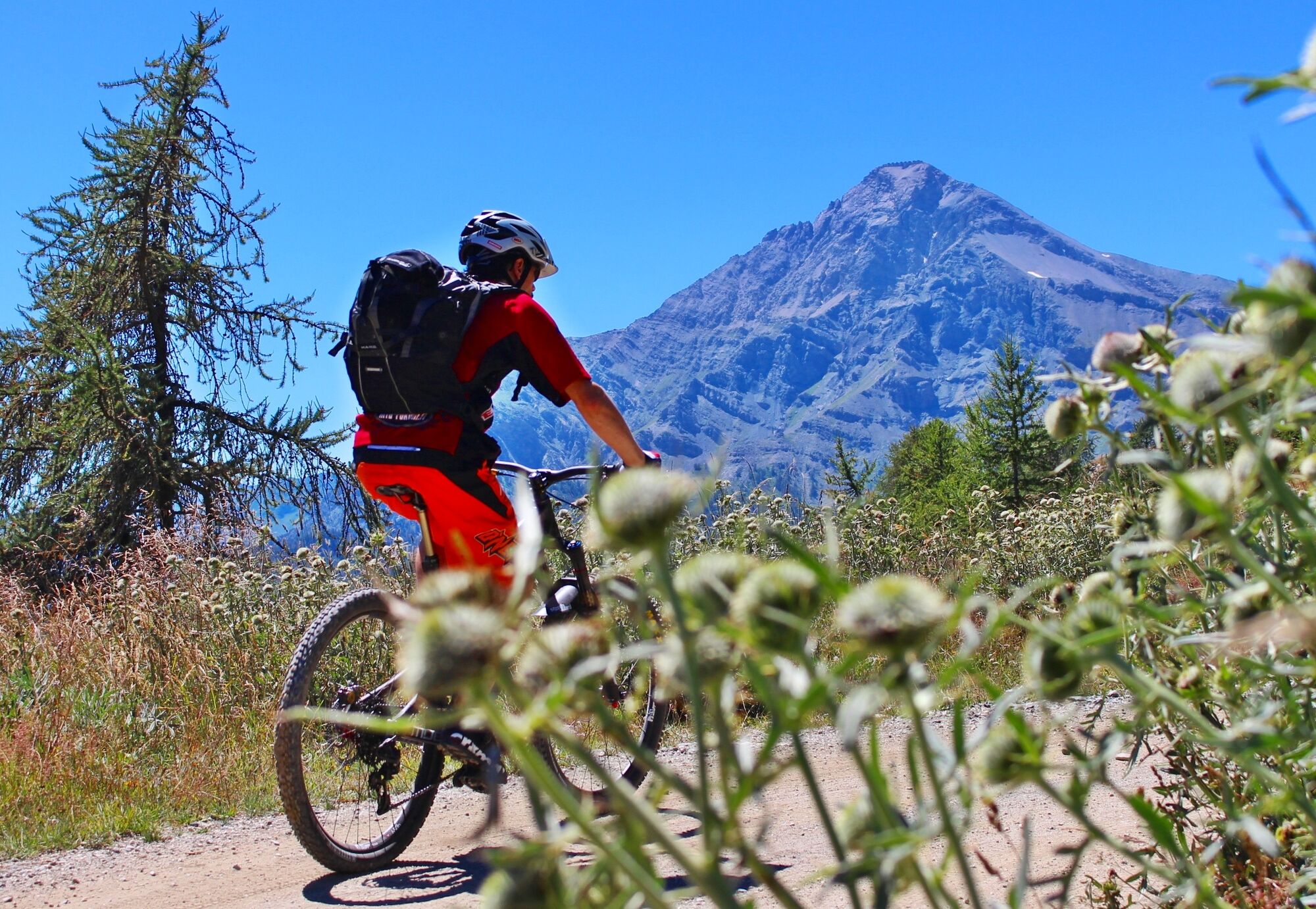
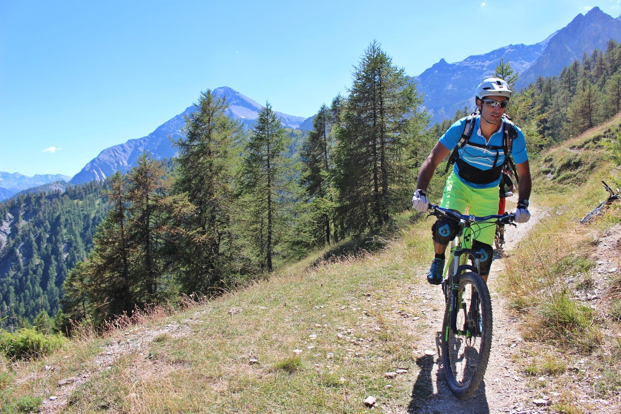
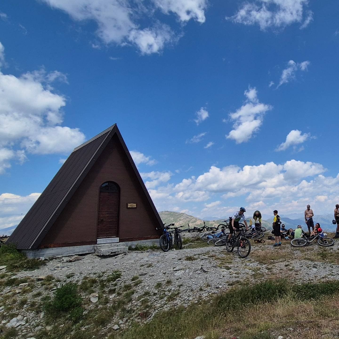


Departure from the locality of Sauze di Cesana, in the area adjacent to the Ripa stream: from here, a dirt road starts the climb to reach Cima del Bosco, a mountain located at the confluence of the Argentera and Thuras valleys. The route maintains a constant slope for most of the way inside a forest, offering shelter from the sun in the warmer seasons. The ascent ends at 2380 meters, reaching the chapel located at the top of the mountain.
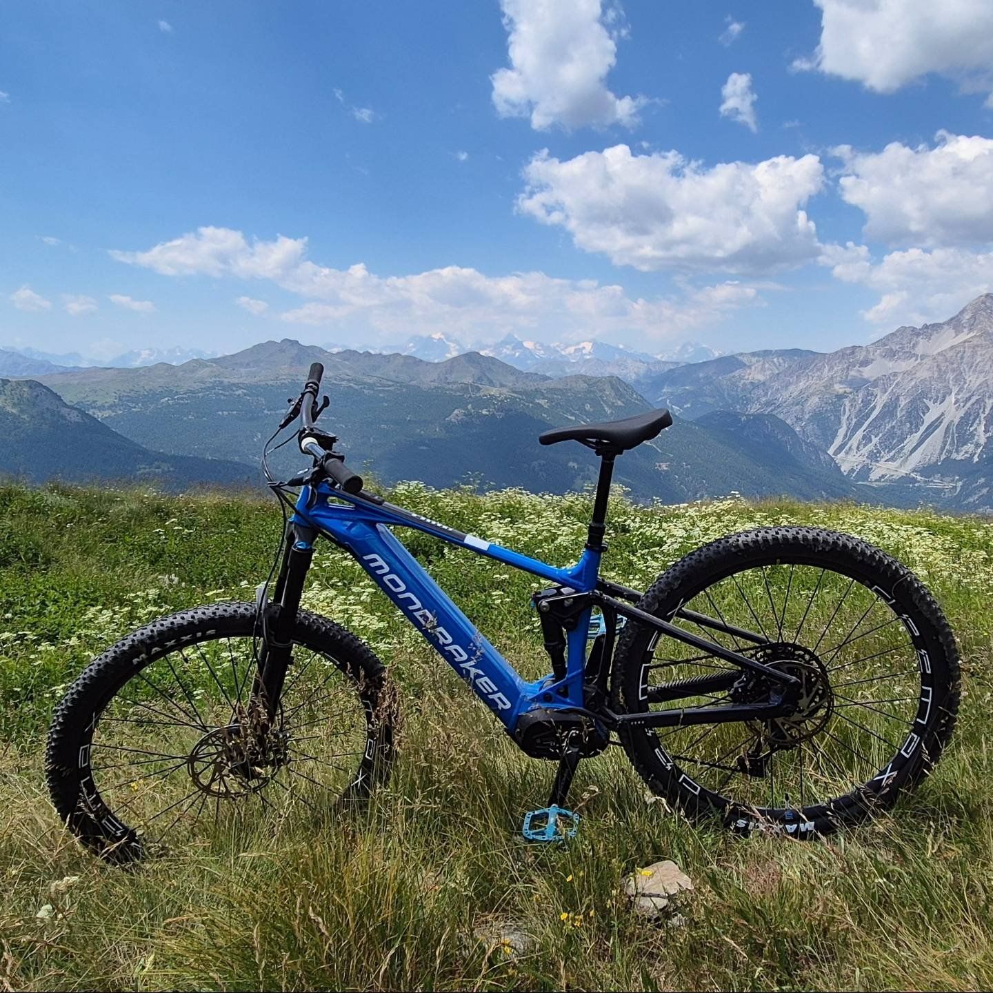
The position of this summit allows us to have the whole surrounding space free, as if we were on a balcony to admire the panorama of the upper valley.
The descent takes place on a path that offers fun and reaches the charming village of Thures, from where, along the asphalt road, you reach Bousson and with a final stretch of a few kilometers return to the starting point.
Ano
Route suitable for MTB / E-bike for the less trained
CAI classification: BC
Route also frequented by hikers - regulate your speed and pay attention.
From Turin follow the signs for the North Ring Road towards Trafori - Frejus. Take the A32 motorway towards Bardonecchia and exit the motorway at Monginevro Sestriere exit. At the tunnel exit continue to the right towards Cesana and then Sauze di Cesana
Accessible by public transport.
Train from Torino P.N to Bardonecchia (stops at Oulx-Cesana-Claviere-Sestriere) + Bus Arriva line 285 from Oulx to Cesana, stop Sauze di Cesana
Parking available near the start of the route, in the area of the restaurant "Il Ristorantino di Rollieres"
A classic "climb to descend" trip which, although challenging, always has its charm and never tires!
Získejte přehled
Vždy živě na místě s více než 9 500 webkamerami. bergfex Jako uživatel Pro si nyní můžete zobrazit odpovídající webové kamery pro mnoho prohlídek v aplikaci prohlídky z. Můžete si tak přímo prohlédnout aktuální podmínky.

Oblíbené prohlídky v okolí
-
GR®58 Tour du Queyras
středníTuristika 114.0 km -
BARDONECCHIA - Loop Colle della Scala - Col de Montgenèvre - Colle del Sestriere
heavySilniční kolo 91.9 km -
5.0
SESTRIERE Monte Rognosa
heavyTuristika 6.42 km -
CESANA T.SE Lago Nero - Seven Colors Lake
středníTuristika 3.51 km -
SAUZE D'OULX Richardette - Montagne Seu )
středníMountainbike 19.9 km -
5.0
OULX Montagne Seu
světloTuristika 5.28 km -
OULX Borgata Seu (Gran Bosco Natural Park)
světloSněžnice 5.93 km -
5.0
CESANA T.SE Cesana - Fenils
světloTuristika 4.60 km -
5.0
SESTRIERE Brugnetti-Sidoti trail rhododendron loop
světloTuristika 5.93 km -
PRAGELATO Colle dell'Assietta
heavyMountainbike 53.3 km
Pěší turistika a stopování


Nenechte si ujít nabídky a inspiraci pro vaši příští dovolenou
Vaše e-mailová adresa byl přidán do poštovního seznamu.





