






SESTRIERE Brugnetti-Sidoti trail rhododendron loop
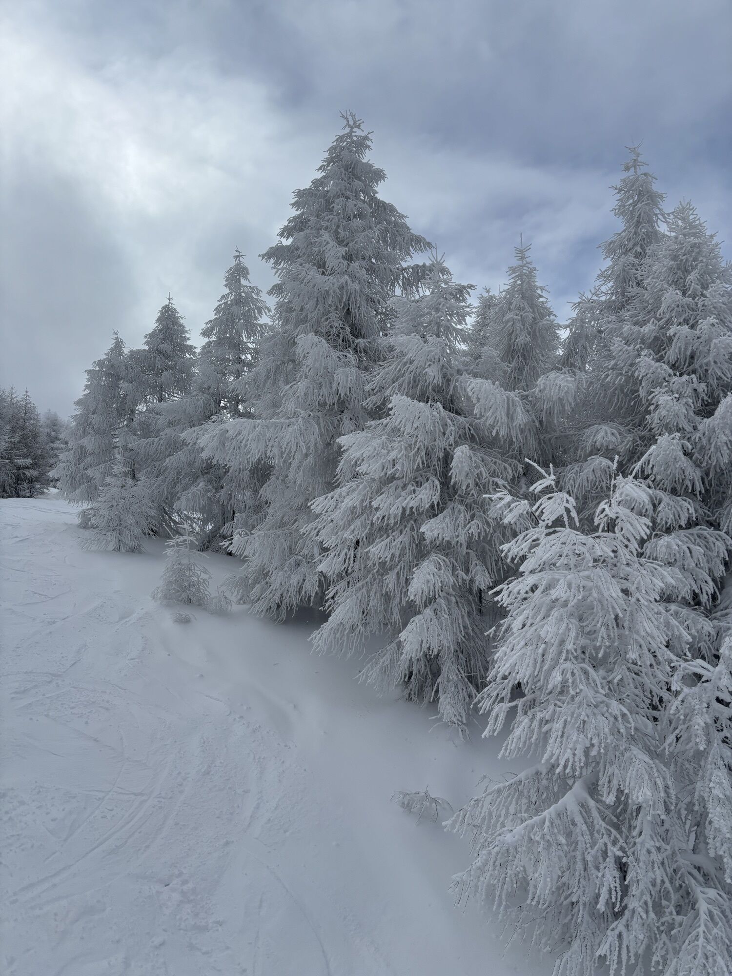
We leave the village of Sestriere near the snowmaking station, walking with the golf course on our right, we reach the top of the "Baby" ski lift. After passing the dirt parking lot, we start to follow...
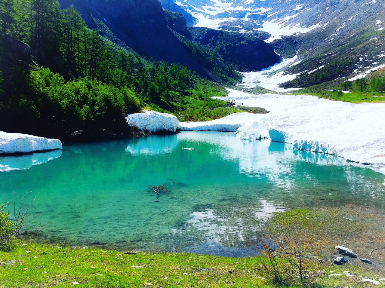
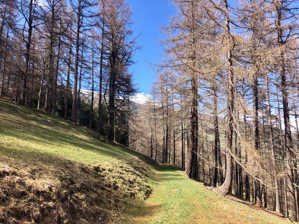
We leave the village of Sestriere near the snowmaking station, walking with the golf course on our right, we reach the top of the "Baby" ski lift. After passing the dirt parking lot, we start to follow the asphalt road on the left dedicated to Olympic athletes Brugnetti and Sidoti, who spent long periods of "high altitude training" right in Sestriere. We enter the dense conifer forest, following the flat road that will lead us to reach the splendid amphitheater of the "Chisonetto Dam" lake. Imposing alpine environment, framed by the highest and most beautiful peaks of Sestriere! After a well-deserved break, return follows the rhododendron path which, flat then finishing with a gentle descent, will bring us back to the dirt road near the snowmaking plant.
Support and technical description by Simona Matheoud - Environmental hiking guide


Ano
Wear clothing and footwear suitable for the mountain environment;
Evaluate in advance the choice of the route using appropriate topographic maps;
Choose routes according to your technical and physical abilities and the equipment available;
Consult mountain guides and naturalistic escorts;
Check weather reports and free apps;
Do not undertake the hike alone or inform a trusted person of the route you intend to take.
Also remember that the times indicated for the various routes are average and indicative and can vary considerably depending on weather conditions and your abilities; the variability of environmental conditions can cause a significant decrease in safety levels.
In case of marked danger, it is not advisable to undertake any excursion.
A32 motorway Torino-Bardonecchia, exit Oulx, follow signs for Sestriere, or reach Pinerolo and follow Sp23R to Sestriere.
Park the car in the Kandahar parking lot, Via Pinerolo
Always carry water, snacks, sunscreen, a hat, protective sunglasses, a trash bag, and a container for cigarette butts;
keep your distance, do not try to pet or approach shepherd dogs protecting the flocks;
do not disturb wildlife and do not pick flowers or plants;
always keep your dog on a leash;
do not throw waste in the environment but carry it with you, collecting any rubbish left by others;
respect private property and restricted areas.
 Získejte přehled
Vždy živě na místě s více než 9 500 webkamerami. bergfex Jako uživatel Pro si nyní můžete zobrazit odpovídající webové kamery pro mnoho prohlídek v aplikaci prohlídky z. Můžete si tak přímo prohlédnout aktuální podmínky.
Získejte přehled
Vždy živě na místě s více než 9 500 webkamerami. bergfex Jako uživatel Pro si nyní můžete zobrazit odpovídající webové kamery pro mnoho prohlídek v aplikaci prohlídky z. Můžete si tak přímo prohlédnout aktuální podmínky.

Oblíbené prohlídky v okolí
-
BARDONECCHIA - Loop Colle della Scala - Col de Montgenèvre - Colle del Sestriere
heavySilniční kolo 91.9 km -
5.0
SESTRIERE Monte Rognosa
heavyTuristika 6.42 km -
5.0
CESANA T.SE Thures - Cima Bosco
heavySněžnice 3.94 km -
5.0
CESANA T.SE Cesana - Fenils
světloTuristika 4.60 km -
CESANA T.SE Lago Nero - Seven Colors Lake
středníTuristika 3.51 km -
OULX Borgata Seu (Gran Bosco Natural Park)
světloSněžnice 5.93 km -
SAUZE D'OULX Richardette - Montagne Seu )
středníMountainbike 19.9 km -
PRAGELATO Colle dell'Assietta
heavyMountainbike 53.3 km -
CESANA T.SE Val Thuras
středníTuristika 7.58 km -
CESANA T.SE The Lakes Route
středníTuristika 10.2 km
Pěší turistika a stopování


Nenechte si ujít nabídky a inspiraci pro vaši příští dovolenou
Vaše e-mailová adresa byl přidán do poštovního seznamu.





