







Testa dell'Assietta from the top of Rocce Nere chairlift

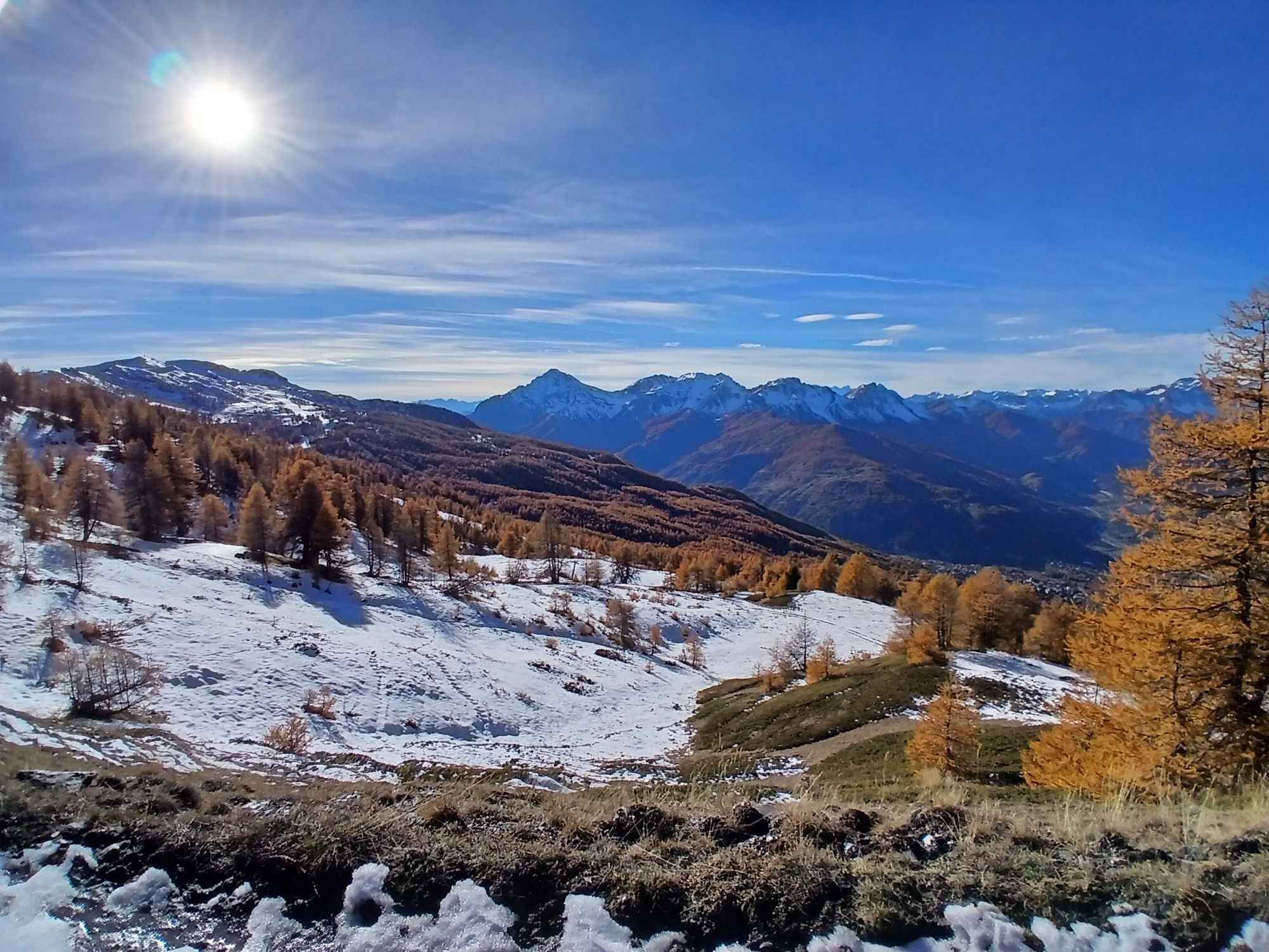
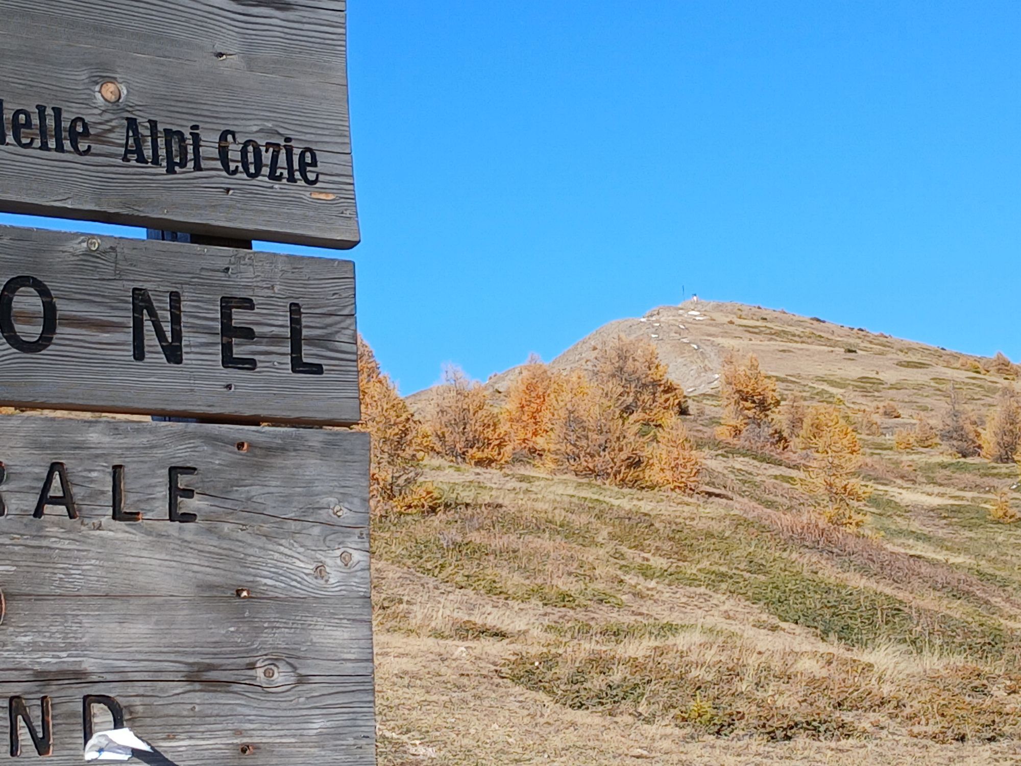
Starting from the centre of Sauze d'Oulx, follow the first part of via Clotes and then continue along via Miramonti and via Prarion to the departure point of the chairlift. Climb up using the Sportinia...
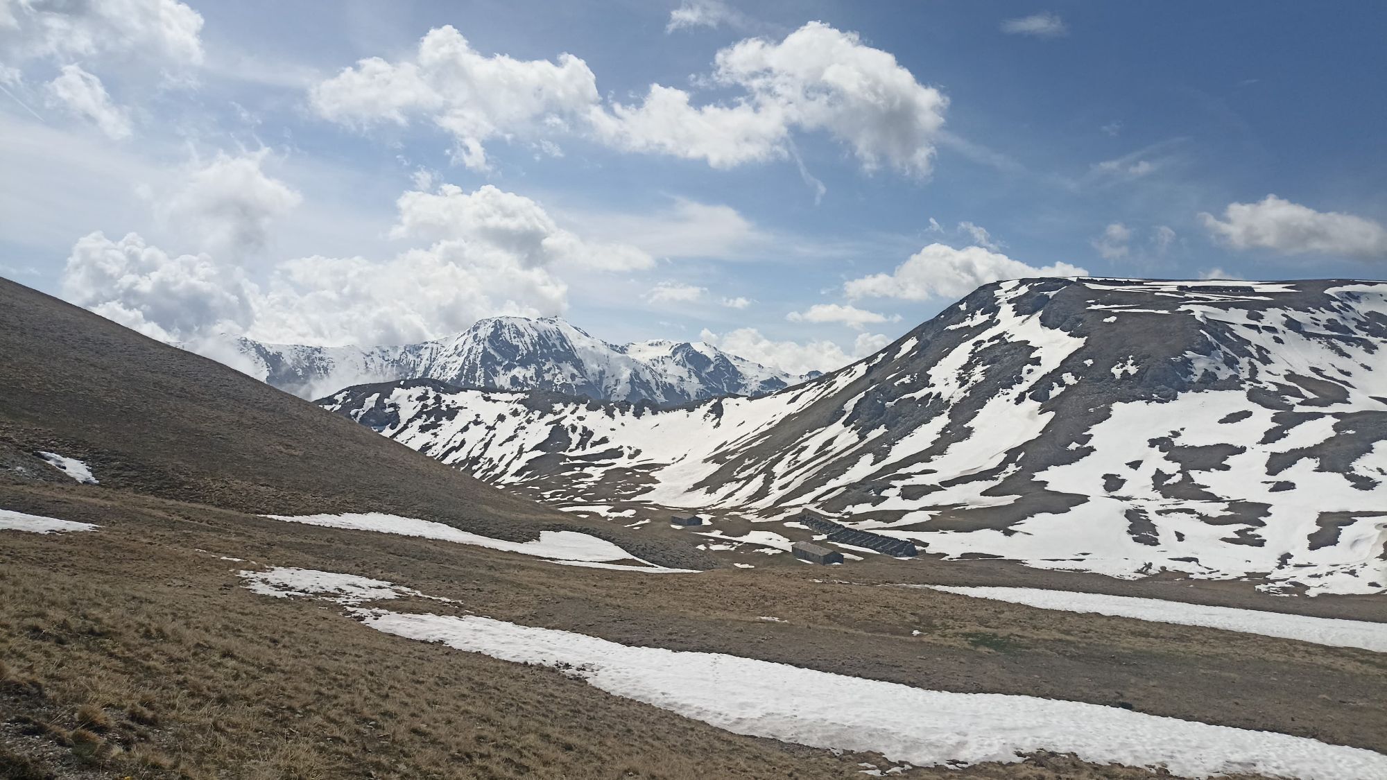
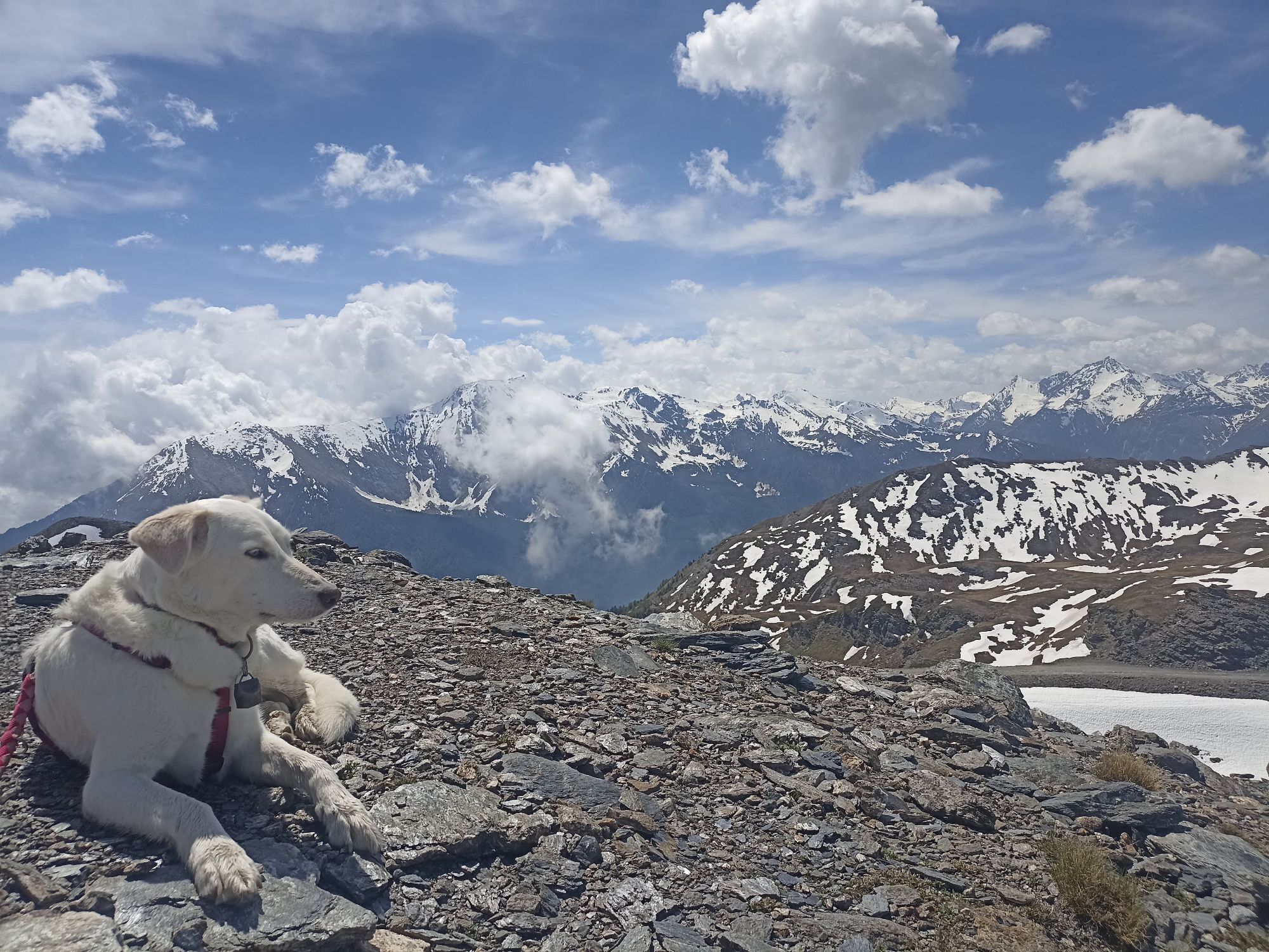
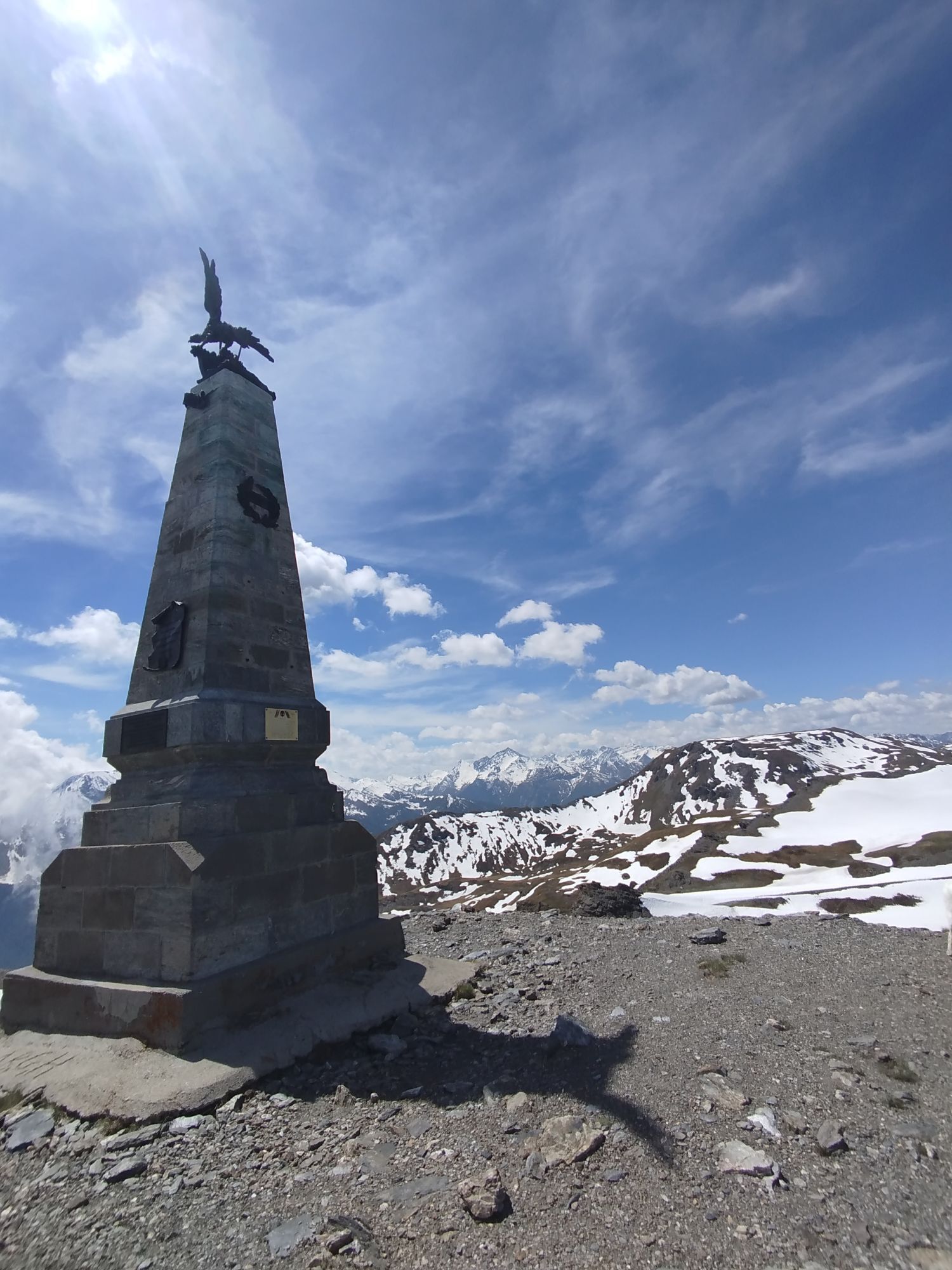
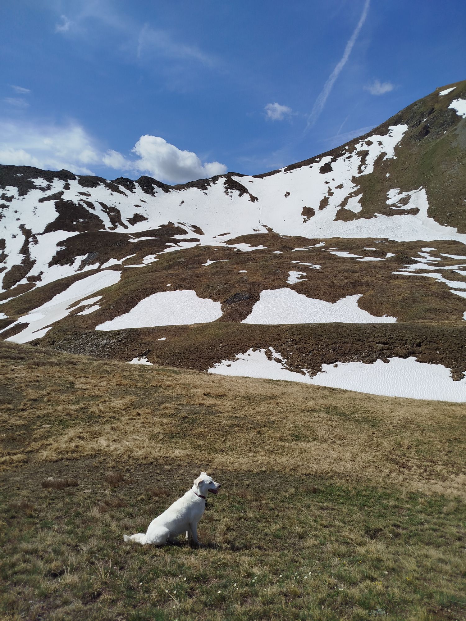
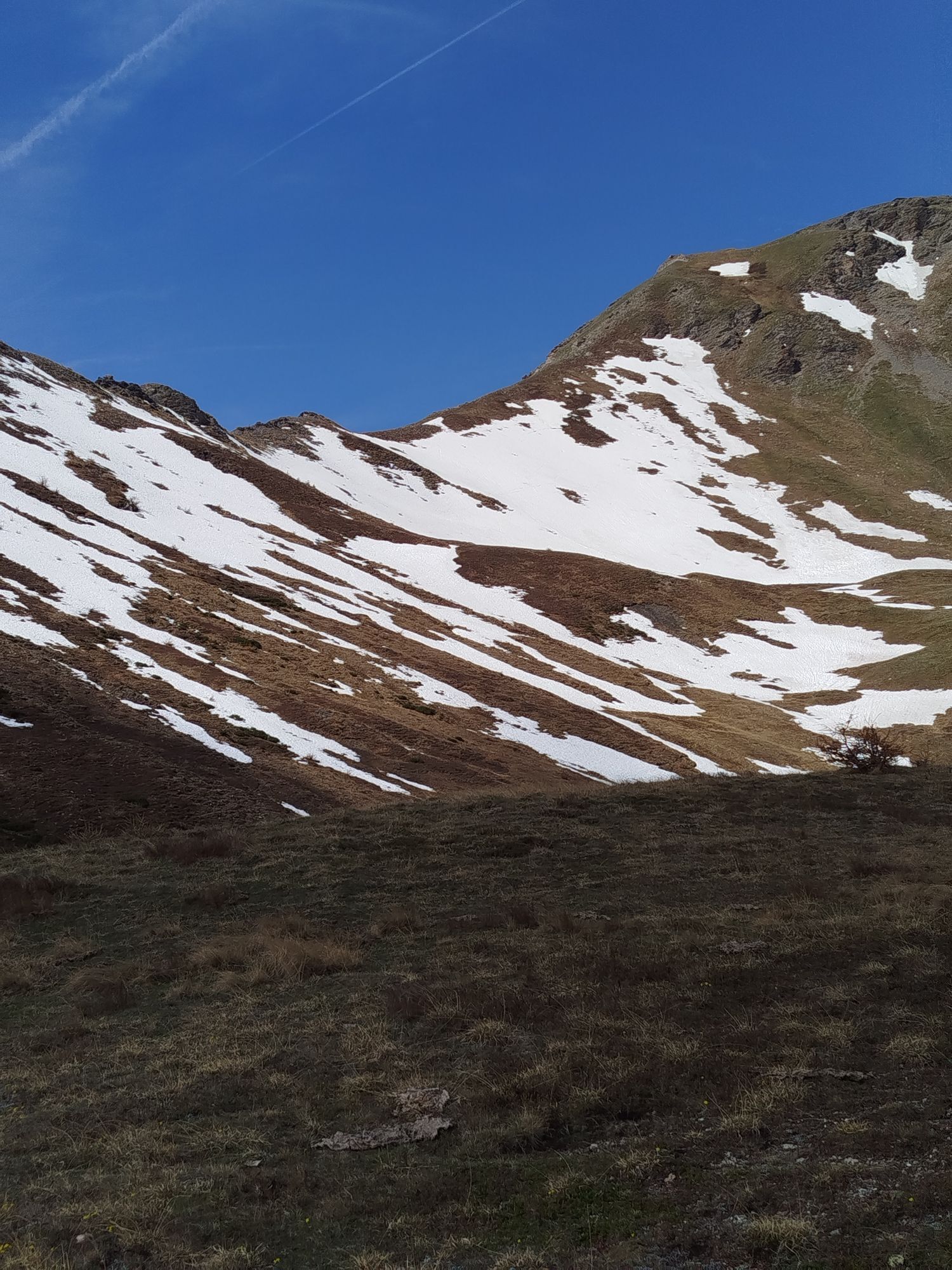
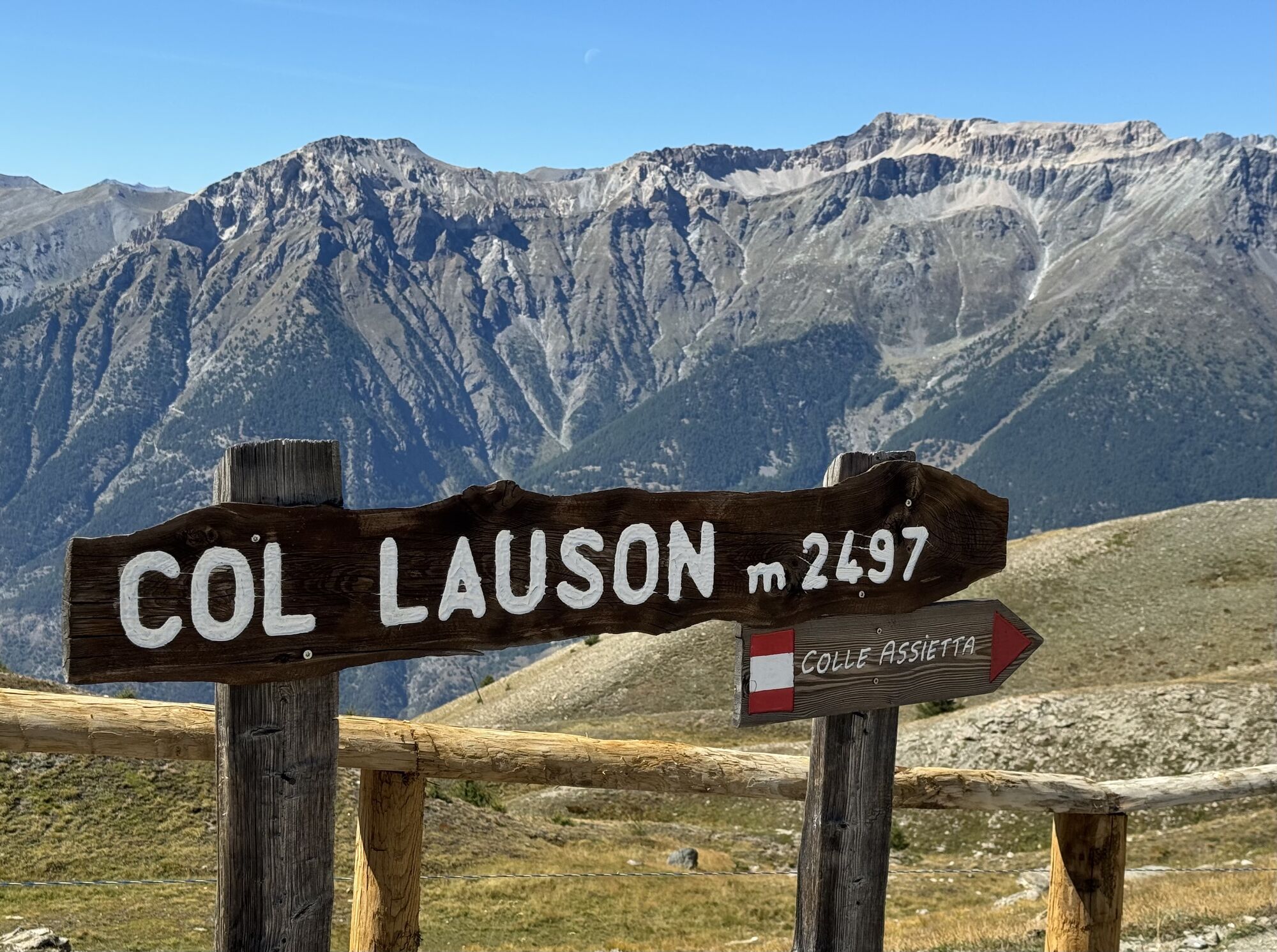
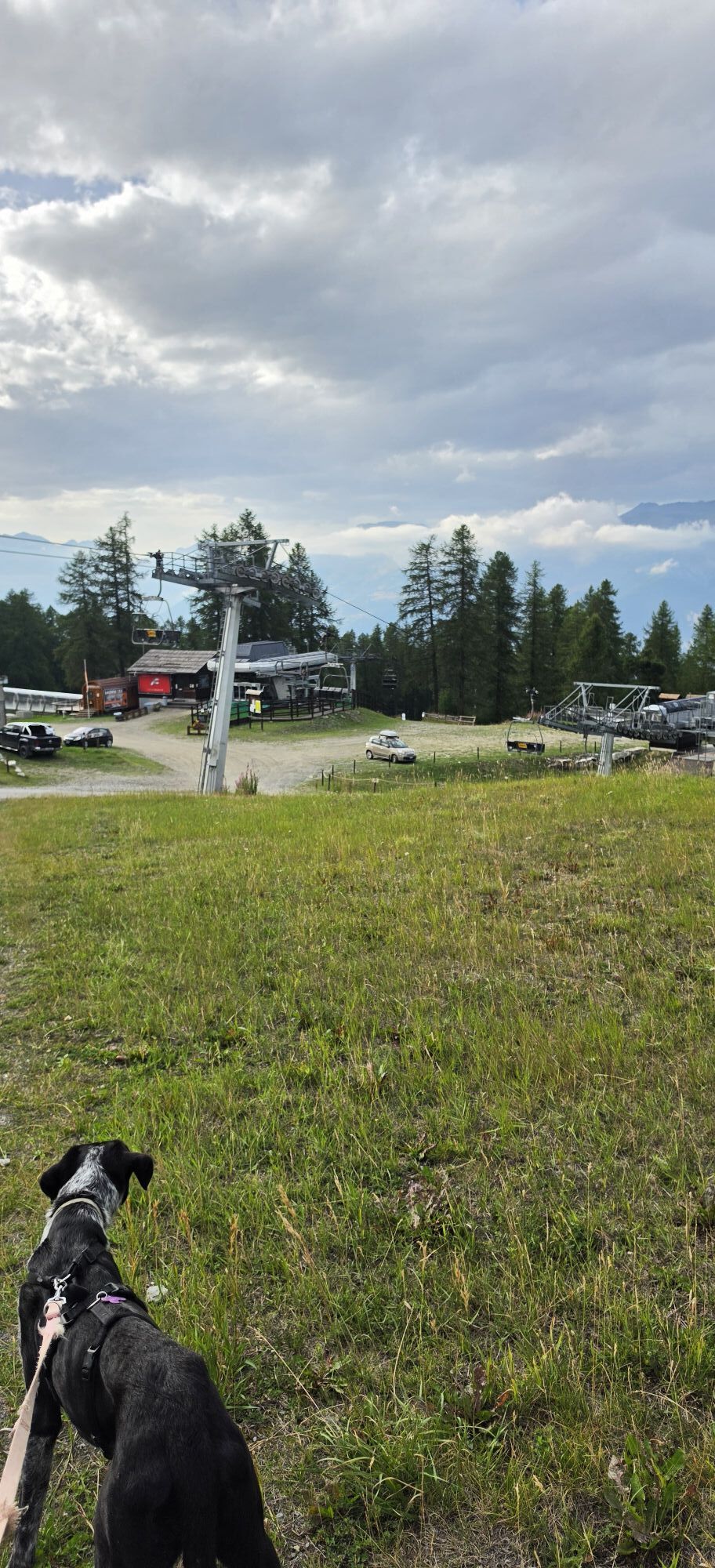
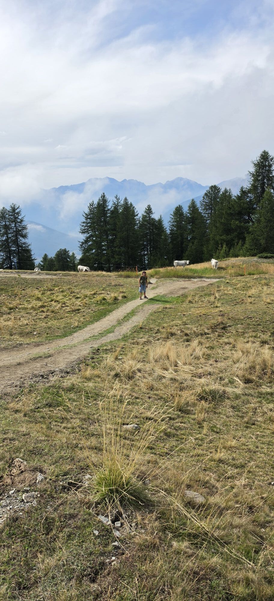
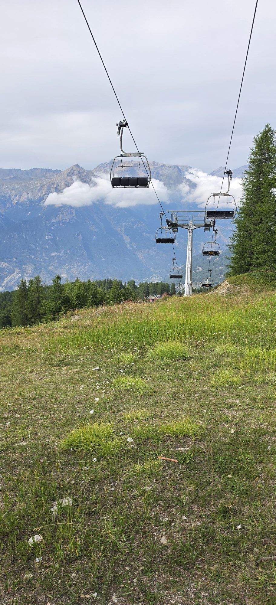
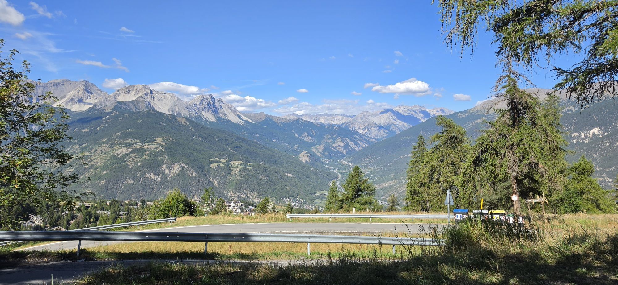
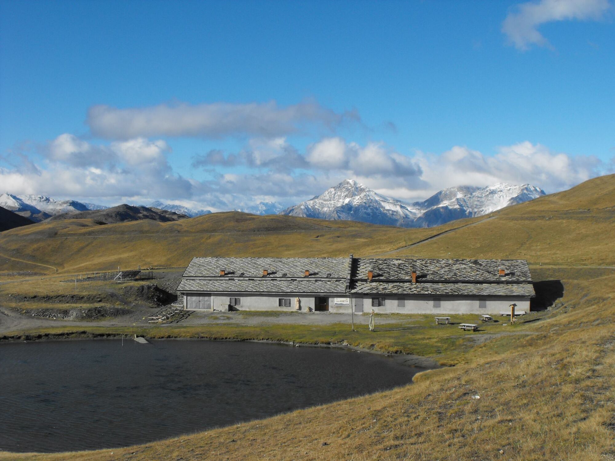
Starting from the centre of Sauze d'Oulx, follow the first part of via Clotes and then continue along via Miramonti and via Prarion to the departure point of the chairlift. Climb up using the Sportinia chairlift and then the Rocce Nere chairlift. Once off the chairlift, start cycling following the dirt road in front of you in the direction of Col Basset. After a short descent, a slight climb leads to Col Basset where, turning left, you enter Strada dell'Assietta. Follow the road, which is almost flat or slightly downhill, until you reach the Costa Piana Col, where the climb towards the Faro degli Alpini lighthouse begins. The route passes near the summit of Mount Genevris and the lighthouse, then descends towards Col Blegier. Having reached the pass, the road continues to the right and for a short stretch overlooks only the Chisone Valley. Having passed Colle Lauson, the road continues along a hilly plateau. Pass the Casa Assietta hut and the characteristic small lake on the right and continue as far as the obelisk. Go back towards the refuge and continue for a few hundred metres more until you reach the Strada dei Cannoni on the right. Begin the descent but, as the path becomes a sigle track, first in the meadow and then in the forest, with a high degree of difficulty, mailnly for the bumpy surface, it is recommended only for expert cyclists.

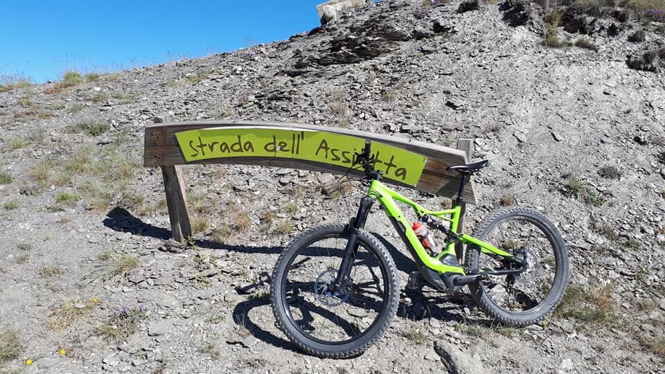
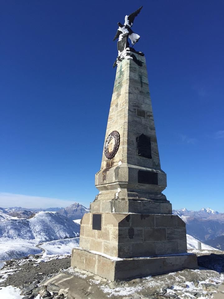
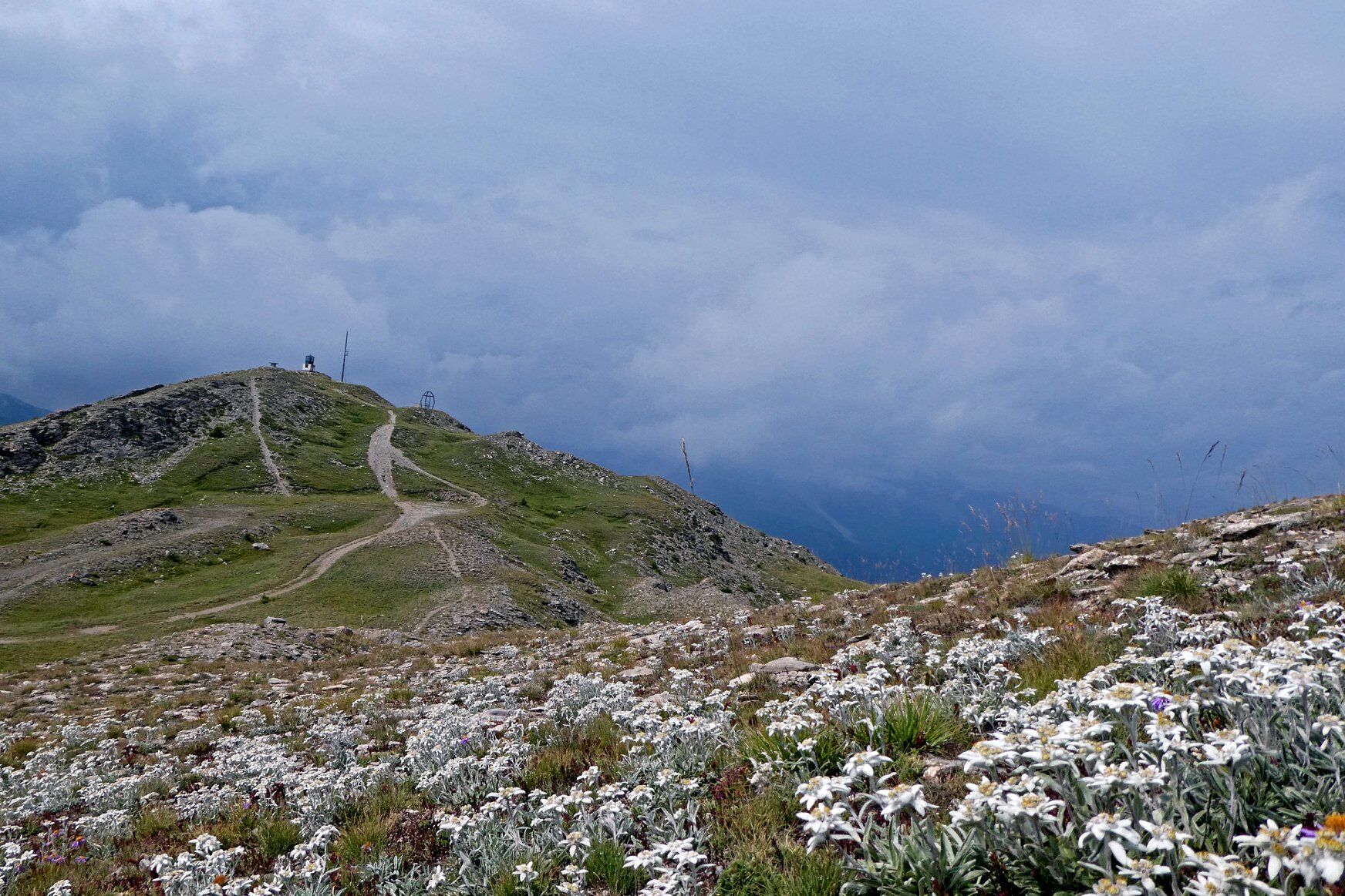
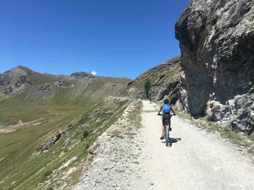

From the Genevris car park, go up towards pizza III Reggimento Alpini and take Via Monfol, Via Clotes and Via Miramonti. At Piazzale Miramonti turn left, take the flat road on the right - Via Prarion - and follow it to the departure of the chairlift. Take the Sportinia and Rocce Nere chairlifts and once at the top follow the service road for a short distance in the direction of Monte Fraiteve / Col Basset, which joins the Assietta road coming from Sportinia. At Col Basset turn left and follow the road to Col Blegier. At the pass, continue right along the watershed between Valle di Susa and Val Chisone, pass Col Lauson, Monte Gran Costa and finally reach Testa dell'Assietta. Return: you can follow the same route as the outward journey or, but this is only for experienced bikers, descend along the Strada dei Cannoni and return on the road to Enfers, Richardette, Sauze d'Oulx.
Ano
Ano
Trail suitable for MTB and e.bike
From Col Bleiger to Testa dell'Assietta the road is open to car traffic except on Wednesdays and Saturdays in July and August. For further information - www.stradadellassietta.it.
By car from France: From the UK take the A 43 through the Frejus Tunnel (toll) then A32 motorway as far as Oulx.
By train: the mainline railway which connects Paris to Milan by TGV has a station in Oulx. Public transport and taxis services operate from Oulx station to Sauze d’Oulx. See also: www.snowcarbon.co.uk.
Parking Genevris or Prarion parking at the departure of the Sportinia chairlift.
On the way back: you can choose whether to follow the same route as on the outward journey or to descend along the Strada dei Cannoni and the road to Enfers, Richardette, Sauze d'Oulx. The Strada dei Cannoni alternates between easier, flowing cycling sections and narrower, more difficult single tracks. Only recommended for experienced bikers.
Webové kamery z prohlídky


Oblíbené prohlídky v okolí
- 5.0
BARDONECCHIA Forte Jafferau Loop
heavyMountainbike 36.8 km - 5.0
SESTRIERE Monte Rognosa
heavyTuristika 6.42 km - 5.0
La Via dei Saraceni (Sauze d'Oulx)
středníMountainbike 33.6 km BARDONECCHIA Monte Jafferau
heavyTuristika 11.6 kmSAUZE D'OULX Richardette - Montagne Seu )
středníMountainbike 19.9 km- 5.0
SESTRIERE Brugnetti-Sidoti trail rhododendron loop
světloTuristika 5.93 km PRAGELATO Colle dell'Assietta
heavyMountainbike 53.3 km- 5.0
OULX Montagne Seu
světloTuristika 5.28 km OULX Borgata Seu (Gran Bosco Natural Park)
světloSněžnice 5.93 km- 5.0
CESANA T.SE Cesana - Fenils
světloTuristika 4.60 km
Pěší turistika a stopování


Nenechte si ujít nabídky a inspiraci pro vaši příští dovolenou
Vaše e-mailová adresa byl přidán do poštovního seznamu.





