






Piemonte without cars | Paesana-Dronero Stage 6: Elva-Stroppo
Úroveň obtížnosti: T2
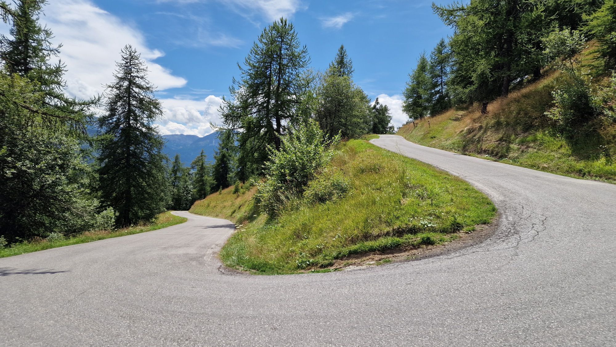
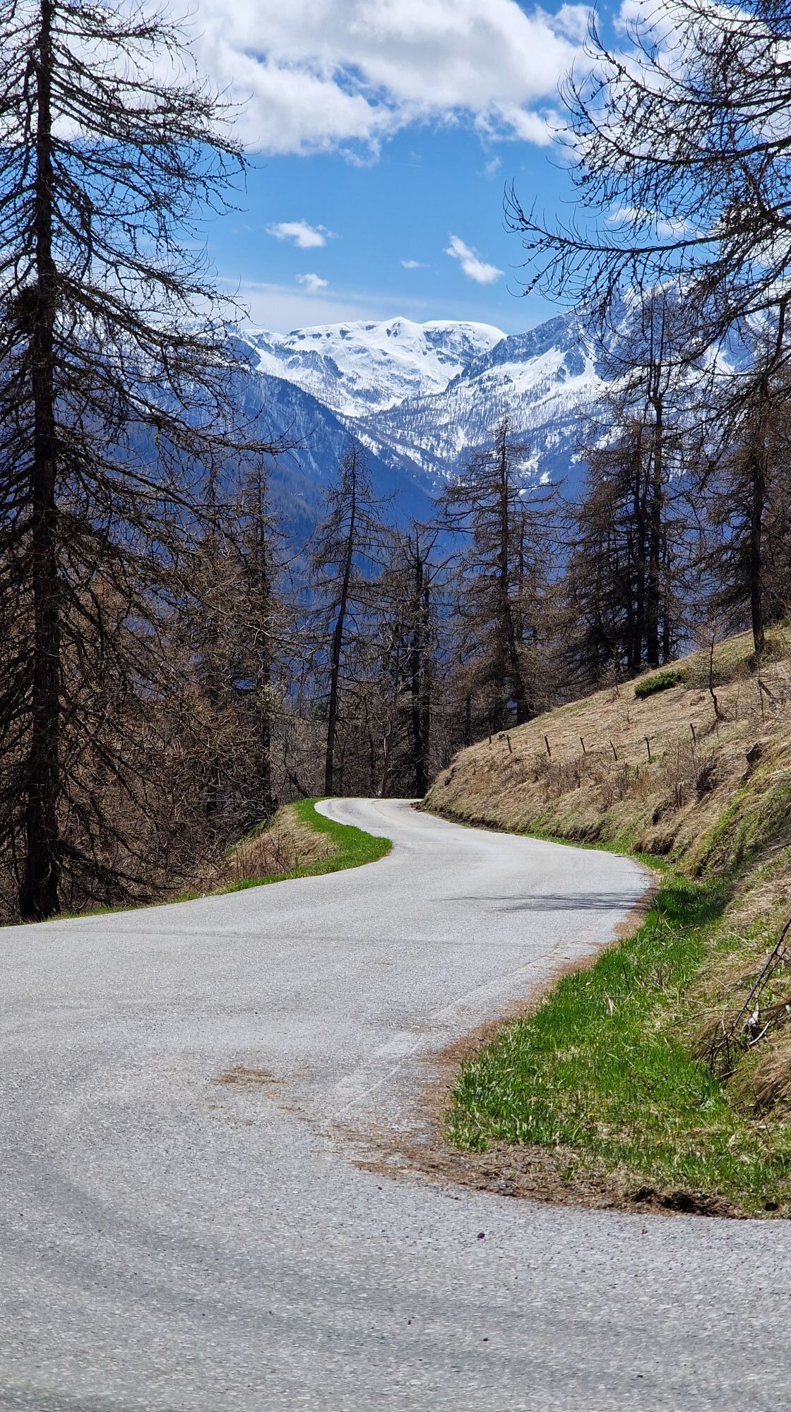
The descent in an easterly direction towards the bottom of the Val Maira, on the right orographic side of the valley, between larch woods and high-altitude pastures, passes through the spectacular panoramic...
The descent in an easterly direction towards the bottom of the Val Maira, on the right orographic side of the valley, between larch woods and high-altitude pastures, passes through the spectacular panoramic points of Colle di San Giovanni and Colle Bettone and crosses some of the most beautiful hamlets of Stroppo, up to the main village.

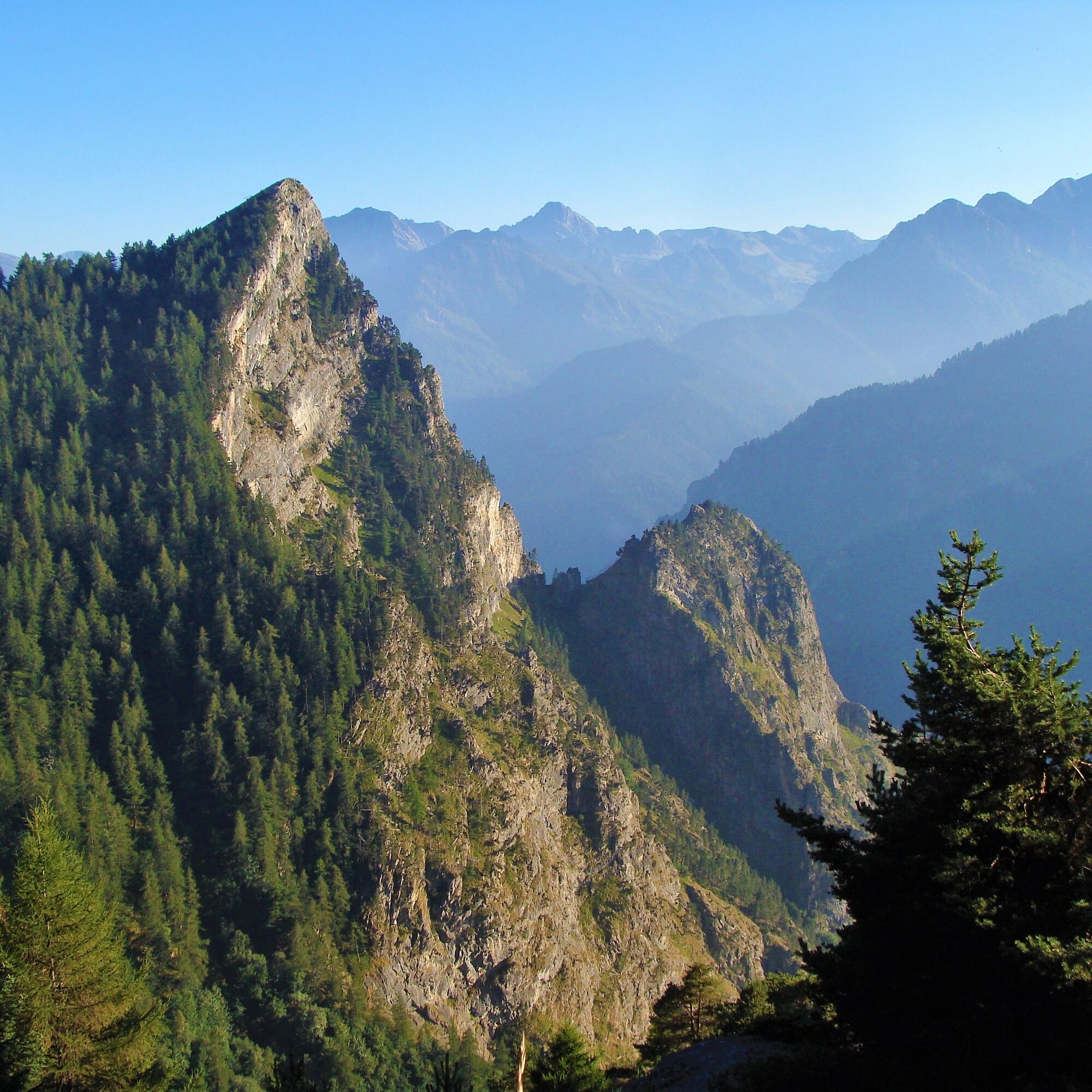

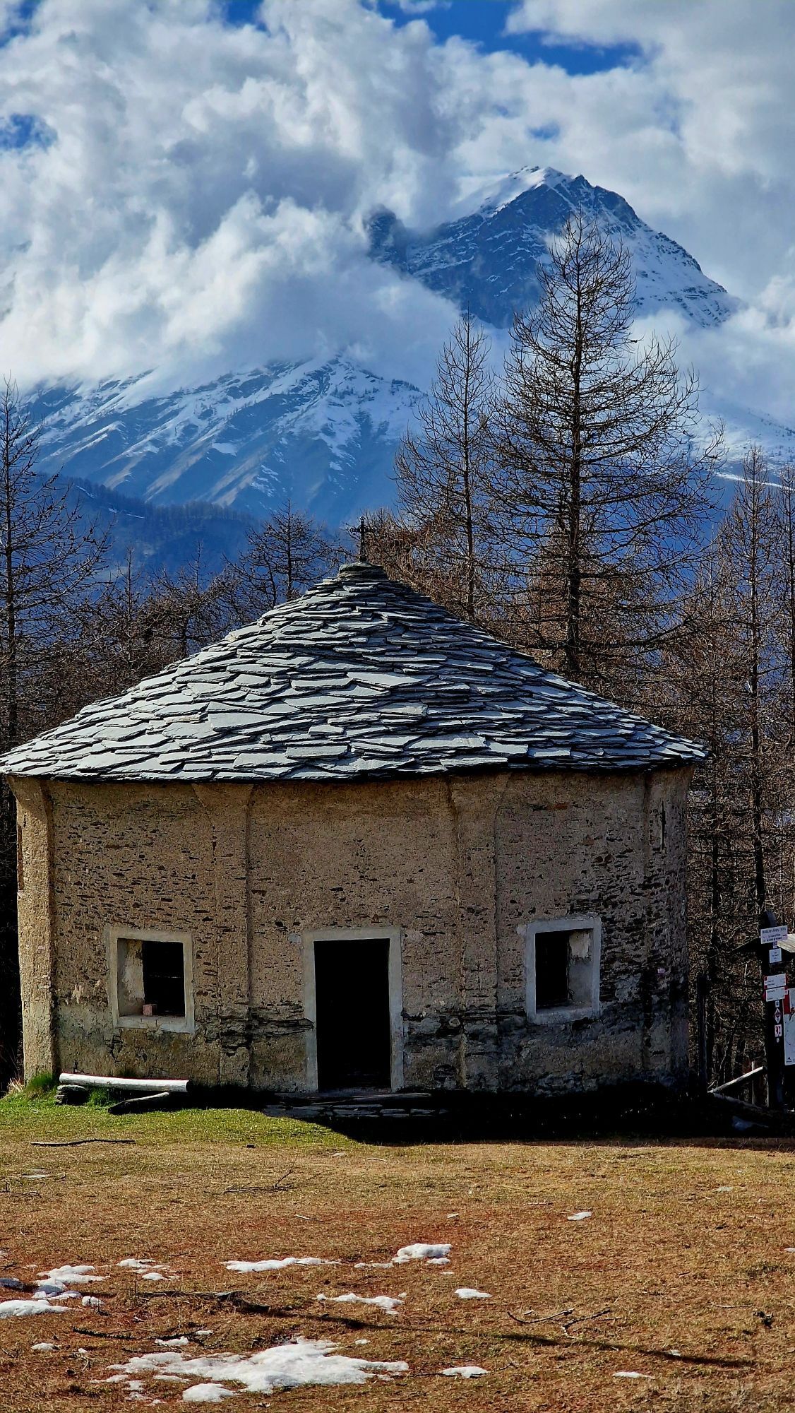
Shortly after the nearby Borgata Isaia (Colzio), the path comes out onto a forest track that continues to the right in the mixed forest of larches and broad-leaved trees. With a slight climb, the trail advances through the larch pasture forest, sometimes open to a clearing, passes alongside Grangia Varua (1,745), Fontana l’Arsisso (1,778 m.) reached by the Paulausso stream, then again in the woods of the same name, to arrive in front of the characteristic circular chapel of San Giovanni from the 16th century with a slate roof on a wooden frame, at Colle San Giovanni (1,875 m.).
Next to the chapel, a path descends that leads in a few minutes to a natural terrace and then to the Fremo Cuncunà that extends over the entire Val Maira. It can also be accessed from the path that, at the nearby Rifugio La Sousto du Col at Colle della Cavallina (1,940), starts at the wooden installation with the writing Elva, on the provincial road.From the chapel, following the T31/GTA/SI/PO signpost (Colle San Giovanni-Colle Bettone-Stroppo), the wide path descends slightly, to continue with an almost flat half-coast traverse that cuts through the Comba Anterjourn in a wide semicircle, overlooking the Vallone di Elva, until it comes out onto Colle Bettone (1,831 m.) where there is a signpost with directional arrows that indicate the villages of San Martino, Paschero and Bassura di Stroppo towards the valley. The hill offers a view of the villages of Stroppo and the Vallone di Elva.
Turning from the hill onto the path on the right towards the south, with a short variation from the route by climbing the steep slope of the terminal peak, you can reach the tip of Monte Bettone (1,901 m.) in a few dozen minutes, which in the 18th century was called “Beccone”, precisely because of the characteristic triangular profile of its summit. The view of the Val Maira will be worth the extra effort.From Colle Bettone, after about a hundred meters you cross the asphalt of the SP355, just above a U-shaped bend, which you cut; following the T31A signpost, you then proceed for a short stretch on asphalt and at the height of the next bend you exit the road to the right downhill (not well marked). The track takes you into the woods and descending it crosses the T30B route (1,596 m.) arriving shortly at Case Contà (1,426 m.), just above which you take the 180° track on the right in the woods that reaches Borgata Ciamin (1,333 m.), a small, well-restored rural hamlet that preserves a beautiful chapel dedicated to San Michele.
From Ciamino you continue downhill along the mule track that, with some steep bends and a traverse, passes at the foot of the rocky wall of the Rocca del Papa and continues to descend into the Cumbal Tinas. You then cross the Rio di S. Giuliano on an ancient stone bridge near the old Piri mill, from the 18th century (1,058 m.) and with a slight climb you come out in Frazione Arneodi (1,050 m.), where the stage ends and it is possible to stay overnight. Once here there was an ancient Capuchin convent, now a private home, inside which you can find many strange stones and some Gothic writings, in which a Domus Arneud is mentioned, probably the lord who gave the name to the village.In a few dozen meters you reach the square of the Frazione Paschero (1,090 m.), the main town and municipal seat with the parish church of San Giovanni Battista.
T2
Scroppo Estròp in Occitan, is made up of 16 hamlets, spread between 900 and 1,500 metres above sea level: thanks to its central position in the Maira Valley, it was very important for the area in the past.
- Parish Church of San Giovanni Battista: built in the 14th century, the church is a national monument, with its characteristic two-tone yellow and ochre façade and magnificent 50-meter stone bell tower in Romanesque style.
- Ethnographic Museum "L'escolo de mountanho": set up on the ground floor of the Town Hall, it houses the Museum that reconstructs the layout of a school environment through the use of material from the time and presents the history of the mountain school from 1900 to the end of the 1960s.
- Borgata San Martino divided into Inferiore and Superiore (1,456 m.) is the last on the ancient mule track (and current road) to Elva. The upper village, with its skyline and bell tower that stands out against the sky on the profile of the ridge is one of the symbolic images of the Maira Valley. In the small village of stone, wood and slate roof houses you can still see the remains of a windmill with a circular turret, a stone arch in the center of the village, the oven, the wash houses and the public fountains.
- The church of San Peyre stands out with its narrow bell tower, isolated on a sheer hill to the east of the main town (1,223 m.) placed on a precipice, like an ancient suspended stone sentinel and clearly visible from the high villages of Stroppo. Its architecture is a journey through time.
- In the hamlet of Caudano there is the Ancient Hospital and Lazzaretto of 1463, built at the behest of a noble family of the time, the Agnesi. Even today you can admire the ancient structure with noble features from the medieval era.
- In Morinesio there are notable examples of mountain architecture, in particular the houses with megalithic portals and round columns, which serve to support the protruding side slopes of the roof. In the small square you can see an old wash house previously used as a community oven. The chapel of the village is dedicated to San Bernardo. On the eastern ridge of the village is the Sanctuary of Santa Maria, in a panoramic position with a view as far as the Cuneo plain.
Other points of interest
La Fremo Cuncunà Colle Bettone and Monte Bettone Ciamin VillageArneodi VillageMorinesio Village with the Sanctuary of Santa MariaOblíbené prohlídky v okolí
-
4.5
Acceglio, bric boscasso
středníLyžařská trasa 12.1 km -
4.0
Historic Mountain Routes | Cannon Road
heavyMountainbike 43.2 km -
5.0
Rocca le Meja - Valle Maira
heavyVysokohorská turistika 19.8 km -
5.0
Occitan routes: Stage 6 Elva - San Michele di Prazzo
středníTuristika 11.5 km -
5.0
Occitan Routes: Stage 8 Borgata Ussolo - Borgata Chiappera
středníTuristika 14.5 km -
5.0
01-Monviso Ring. Rifugio Alevè - Rifugio Quintino sella Pontechianale, Piemont/Italien
světloTuristika 11.8 km -
5.0
Percorsi Occitani: Tappa 4 Frazione Camoglieres - San Martino Inferiore
středníTuristika 16.8 km -
5.0
Chiappera- Spaziergang
světloTuristika 8.39 km -
3.5
Occitan Routes Stage 5
středníTuristika 6.86 km -
5.0
Strada dei Cannoni
středníTuristika 56.1 km
Pěší turistika a stopování


Nenechte si ujít nabídky a inspiraci pro vaši příští dovolenou
Vaše e-mailová adresa byl přidán do poštovního seznamu.





