


Cycling tourism ring north of Turin - stage 3
Úroveň obtížnosti: 2
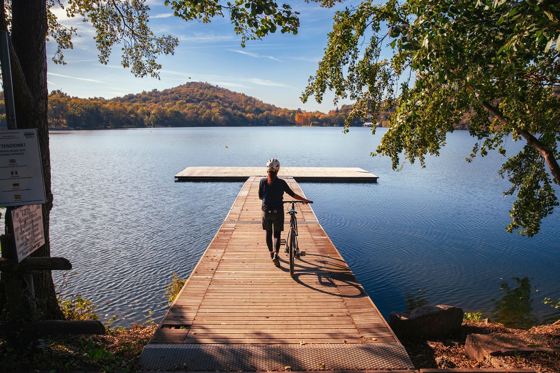
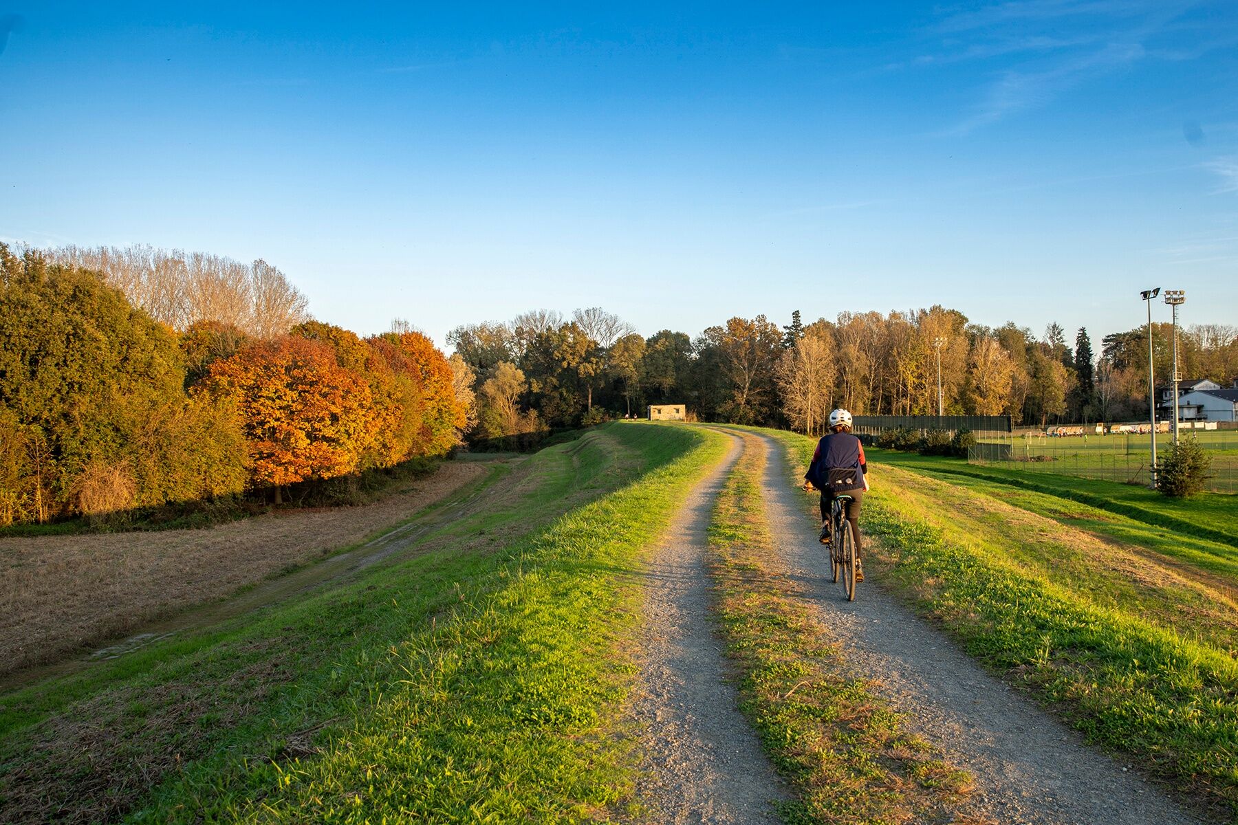
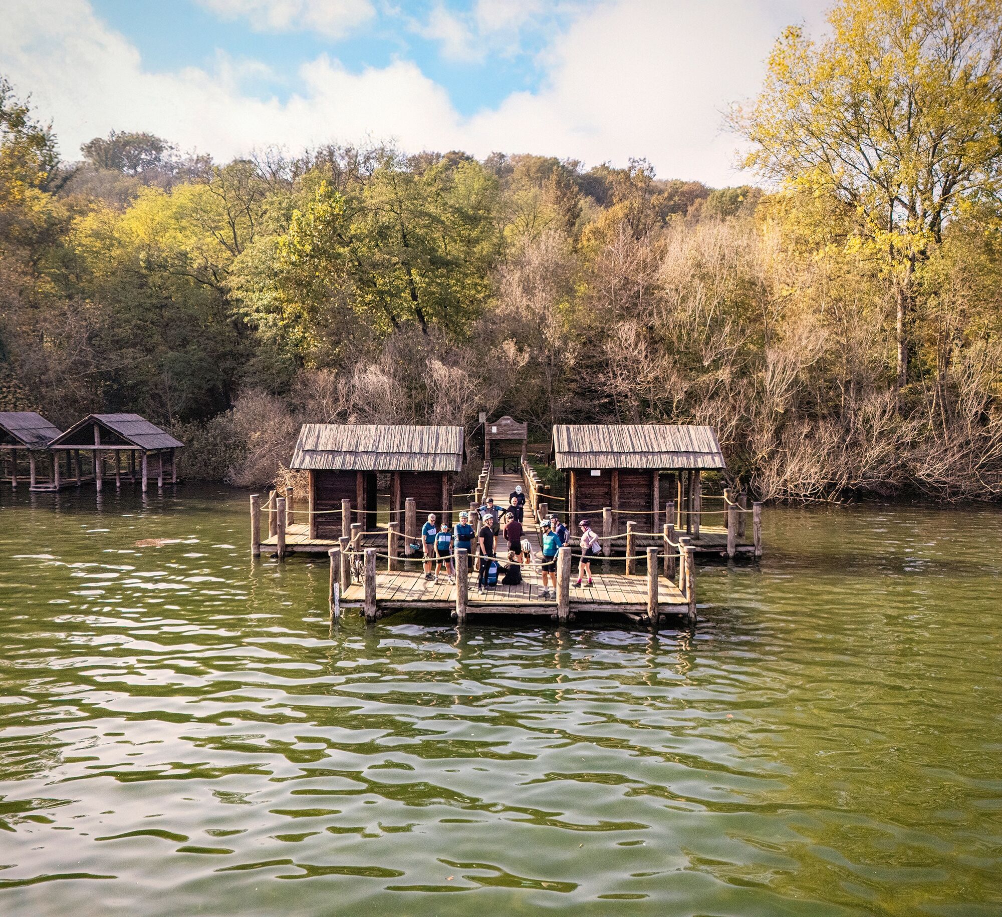
A flowing stage, with generally moderate gradients, we pass from the lake environments of Lake Viverone to the Serra Morenica d'Ivrea with its scenic views, the urban environment of Ivrea and the beautiful...
A flowing stage, with generally moderate gradients, we pass from the lake environments of Lake Viverone to the Serra Morenica d'Ivrea with its scenic views, the urban environment of Ivrea and the beautiful valley that reaches the gates of the Aosta Valley. The variety of habitats and biodiversity distinguish this trail.
It is recommended to approach the stages with bicycle in good condition and proper equipment (helmet, repair kit, water and food). Clothing should be chosen according to the season and weather conditions, always providing a rain and windproof layer.
Although roads with low vehicular traffic have been chosen when cycling on open roads, it is essential to maintain a high level of caution at all times, especially near intersections and curves. Weather also has a great impact: wind, rain or intense heat can increase the risks, so it is important to check conditions before setting off and adjust pace and route accordingly.
2
Serra Morenica d'Ivrea: perfect for enjoying the "geography of the landscape," a natural balcony over Canavese and the Ivrea Morainic Amphitheater
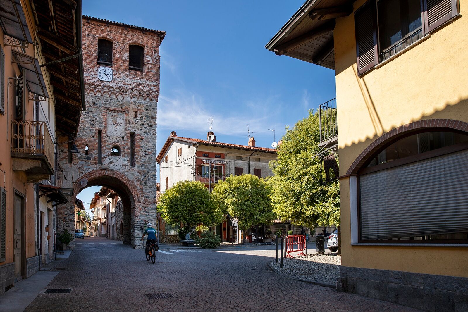
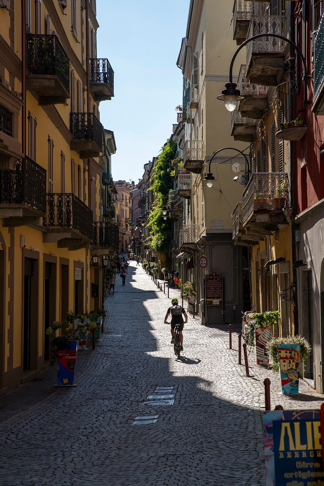
Ivrea: UNESCO heritage site, the historical, administrative and industrial heart of Canavese, with a medieval old town and Olivetti's architectural legacy.
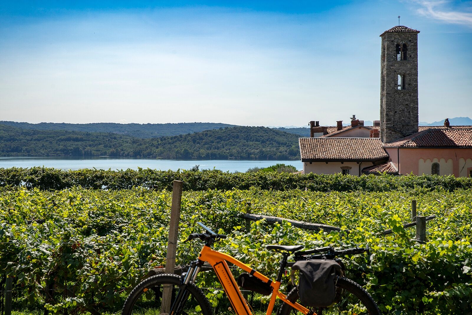
Pavone Canavese: Its castle and historic center add a medieval note to an area rich in nature and views.
Carema: A village clinging to the mountains, famous for its Nebbiolo wine grown on steep terraces.
Oblíbené prohlídky v okolí
- 4.0
TRAVERSELLA Souls and Transhumance Path
středníTuristika 10.0 km BALDISSERO CANAVESE The Monti Pelati nature reserve
středníTuristika 7.19 km- 4.0
CAREMA Vineyard Path
světloTematická stezka 3.94 km SETTIMO VITTONE Colma di Mombarone from Trovinasse
středníTuristika 3.92 kmRUEGLIO Cima Bossola from the Cima Bossola refuge
středníTuristika 3.79 km- 3.0
Via Francigena Etappe 5
středníTuristika 36.7 km VALCHIUSELLA Lakes of Alice Superiore and Meugliano
světloTuristika 7.99 kmMONTALTO DORA Terre Ballerine - In search of Lake Coniglio
světloTuristika 5.35 kmChiaverano - Church of Santo Stefano di Sessano
středníMountainbike 27.4 kmCHIVASSO Multi-stage loop of the ancient Balteo Glacier
středníCyklistika na velkou vzdálenost 195.4 km

Pěší turistika a stopování


Nenechte si ujít nabídky a inspiraci pro vaši příští dovolenou
Vaše e-mailová adresa byl přidán do poštovního seznamu.