


Sonnanen-Harjulampi-Ketturiutta, Paistjärvi recreational area
The Paistjärvi area is located 30 kilometers from Heinola city center. At Paistjärvi, hikers can experience the peaceful nature of backwoods, as the shores of small lakes and ponds are almost undeveloped...
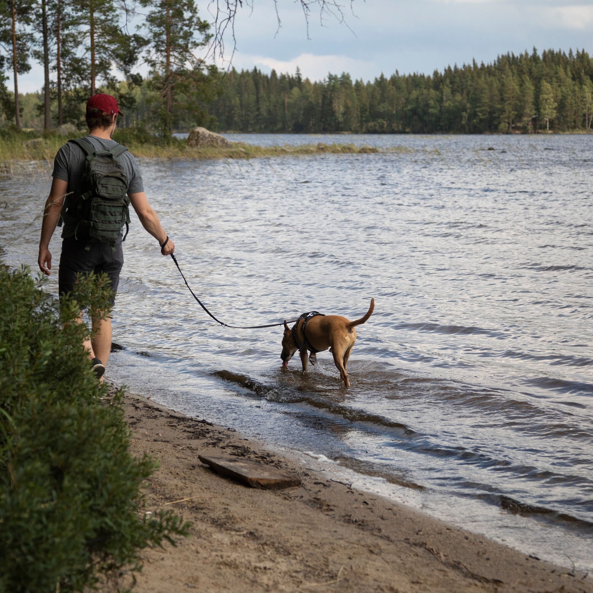
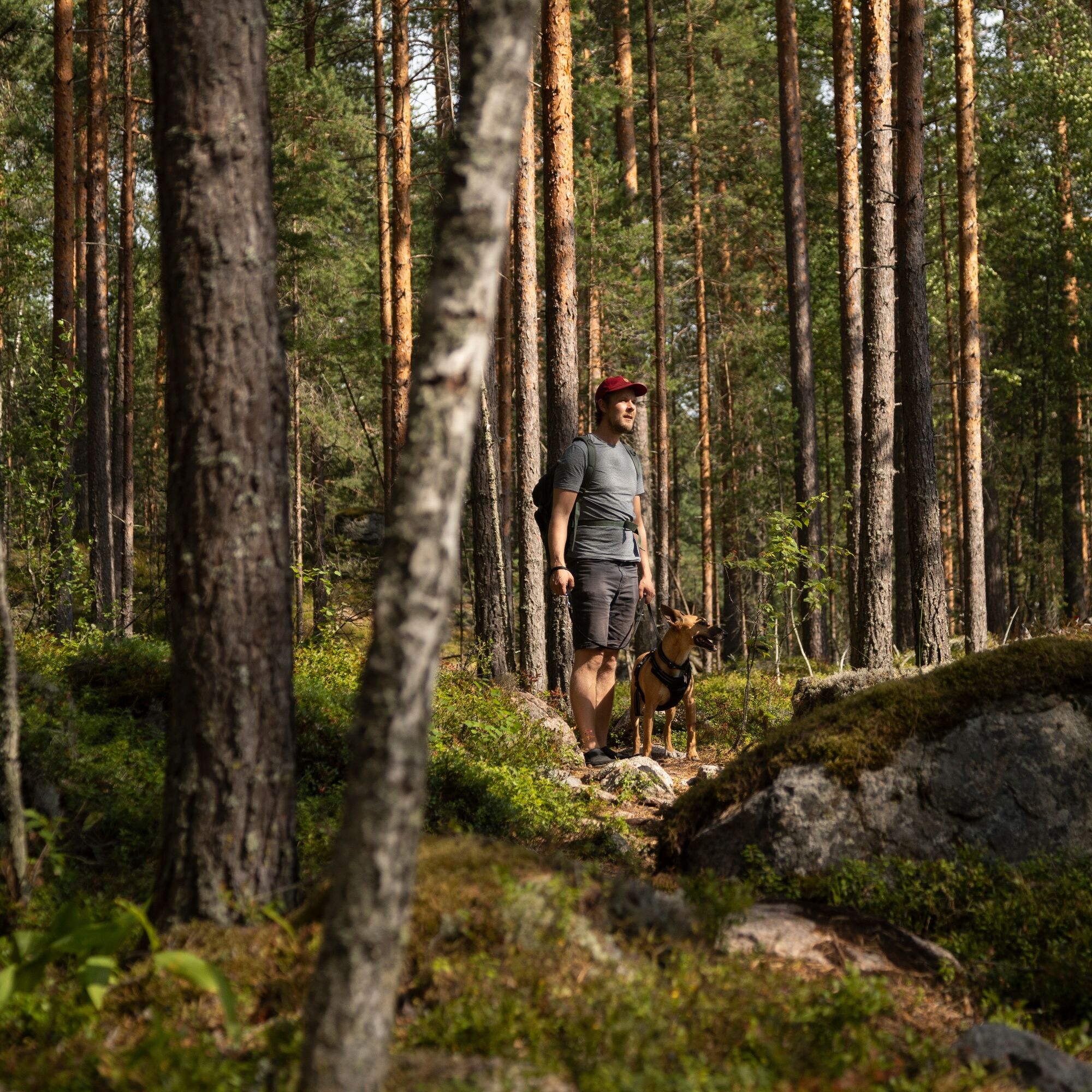
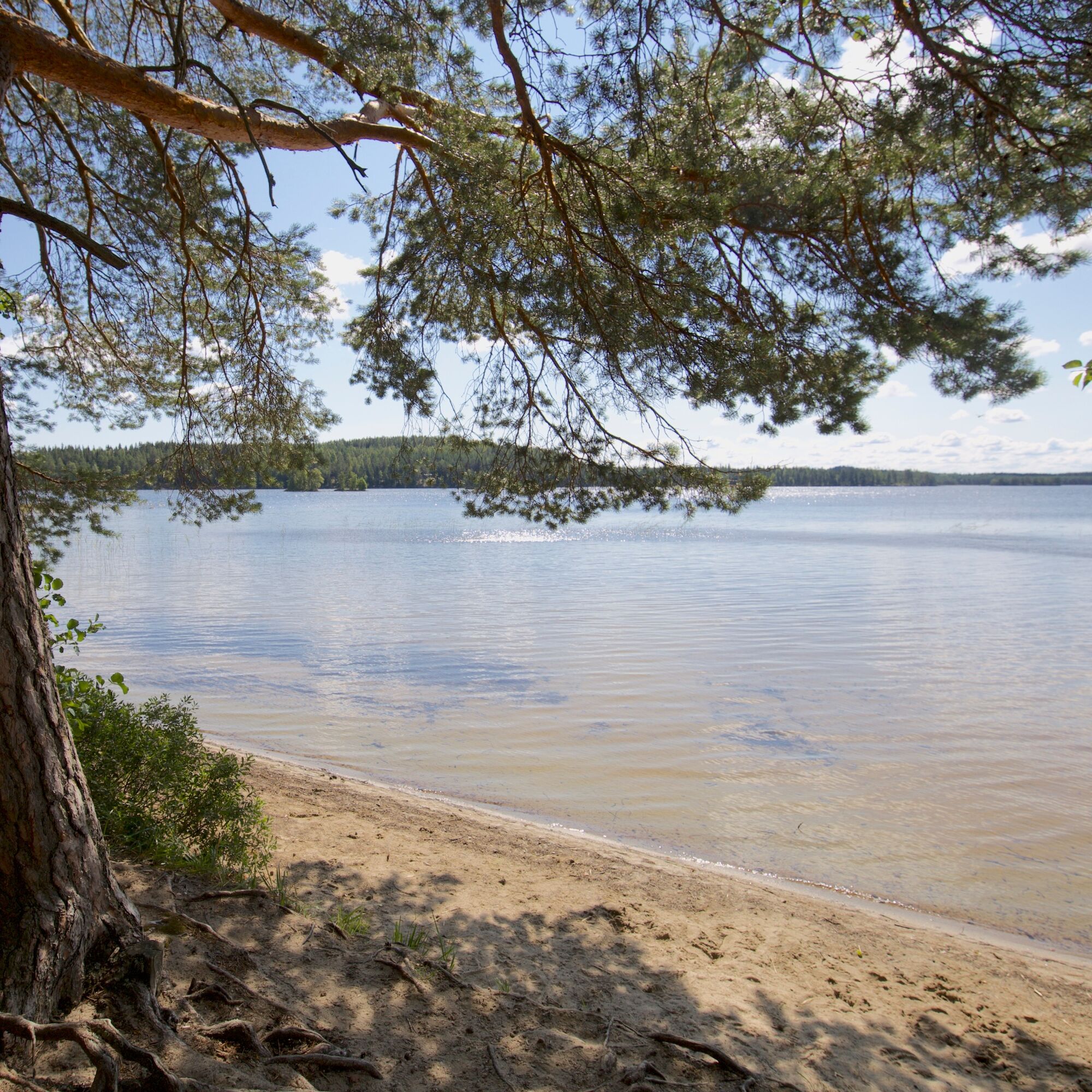
The Paistjärvi area is located 30 kilometers from Heinola city center. At Paistjärvi, hikers can experience the peaceful nature of backwoods, as the shores of small lakes and ponds are almost undeveloped and forests continuous. The route between Sonnanen, Harjulampi, and Ketturiutta is easy to walk but diverse. Highlights of the route include the beautiful Kuijärvi isthmus, Kylmälampi, and the magnificent sandy beach at Ketturiutta. The isthmus hiking route is 7 km. From the parking lot to Ketturiutta and back is 4.4 km.
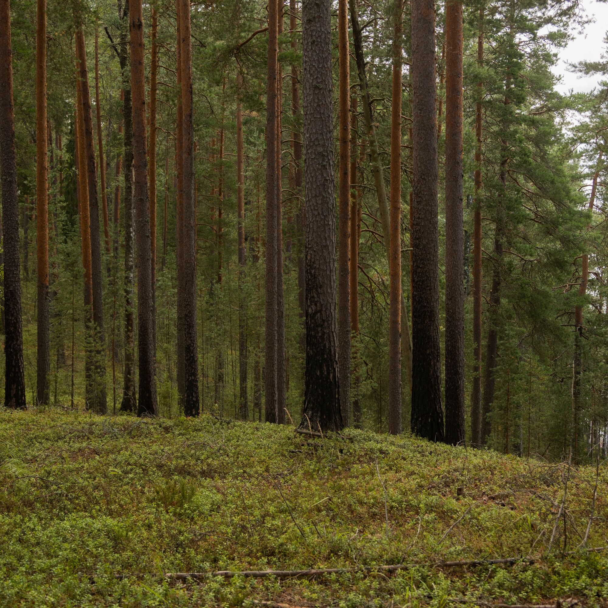
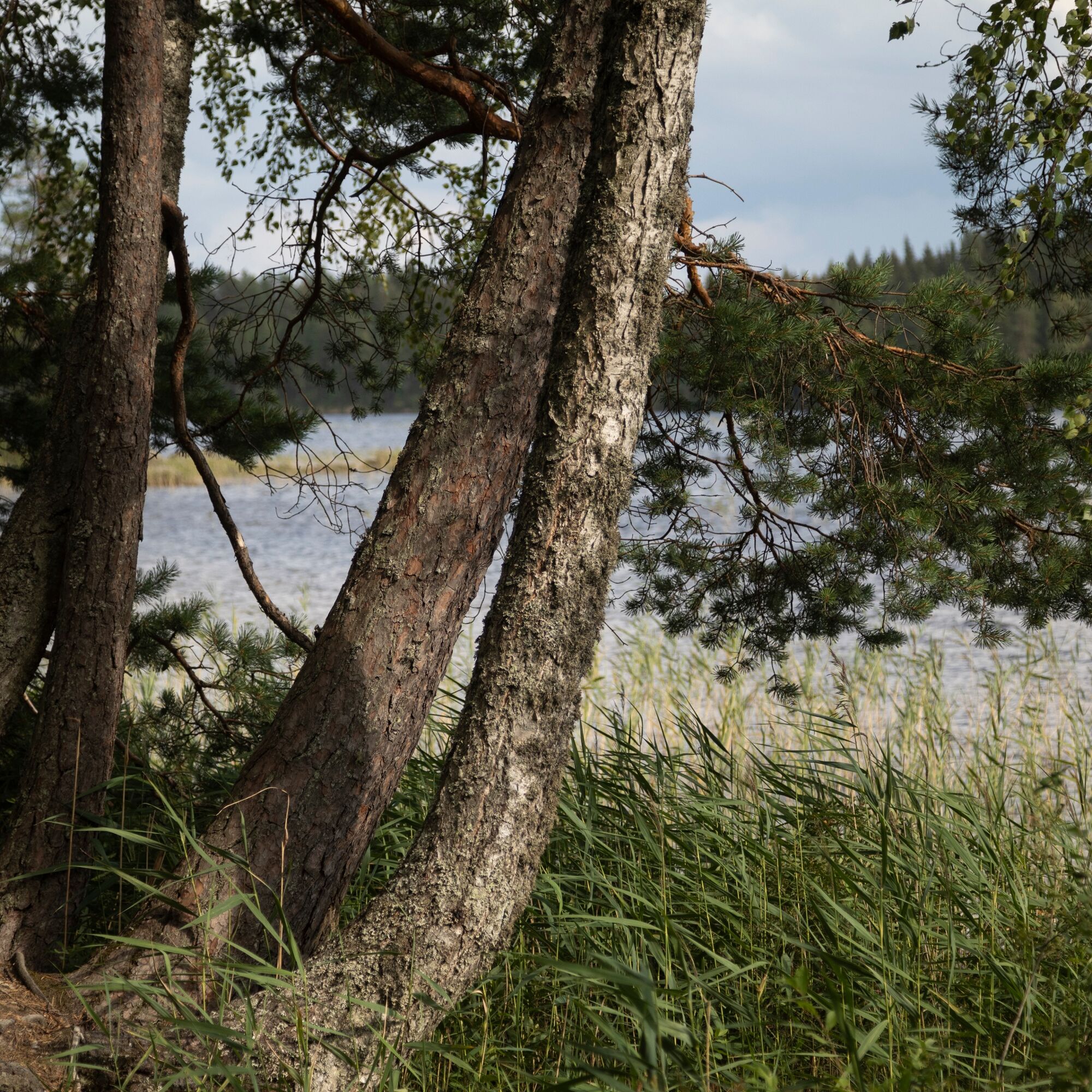
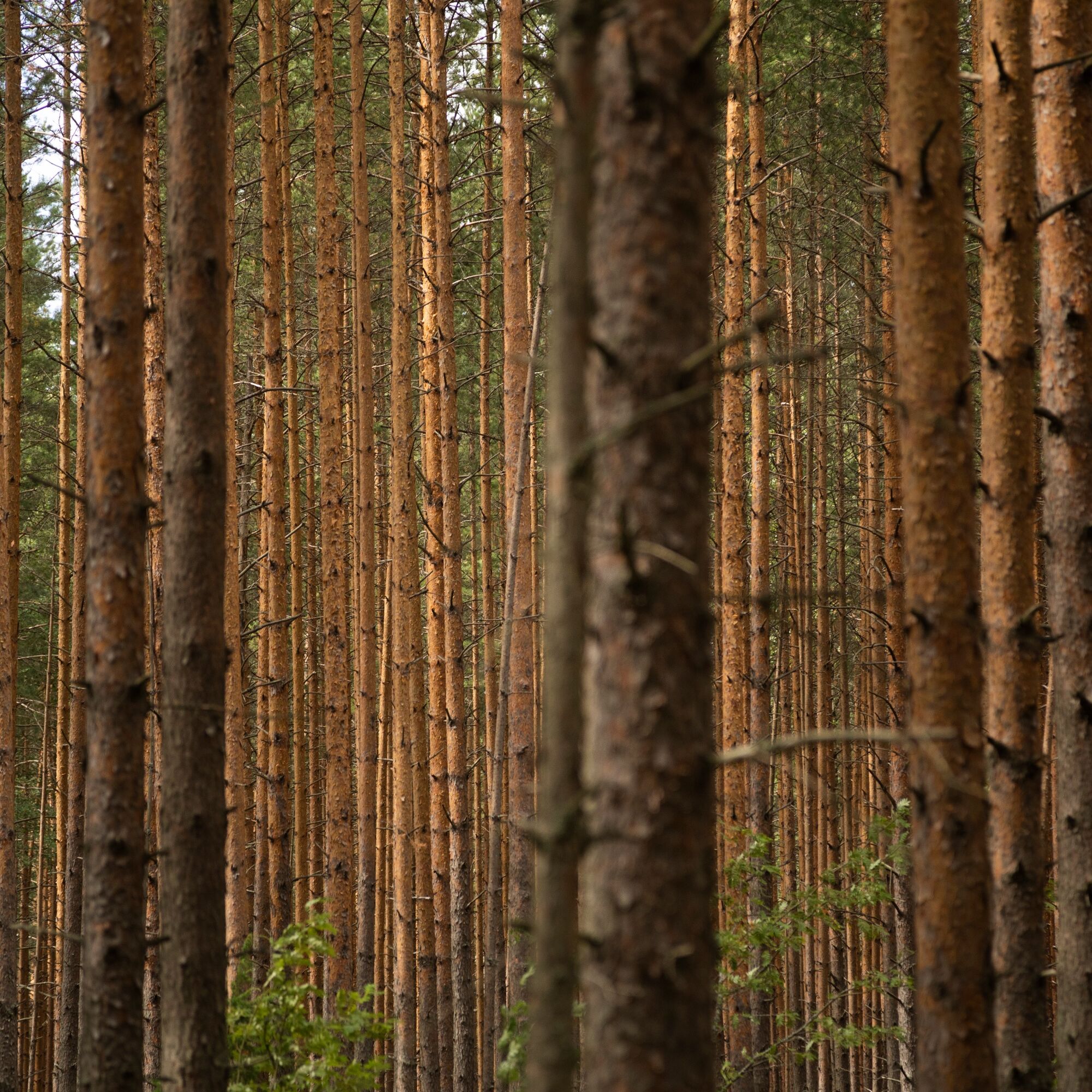
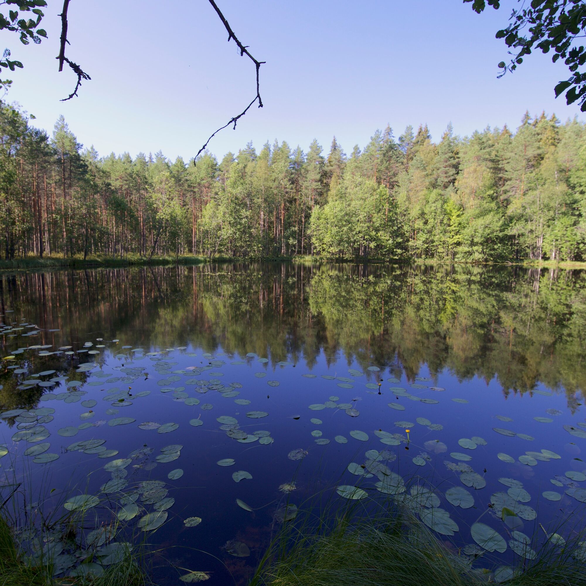
The diverse nature can be seen in the small Paistjärvi area: clean lakes, impressive ridges with coniferous forests, and wooded fens. The clear lakes and largely undeveloped shores of Paistjärvi are a valuable part of the national shore protection program. The Paistjärvi area is one of the highlights of the Salpausselkä UNESCO Global Geopark.
The bedrock of the Paistjärvi area is rapakivi granite. It is believed to have formed 1.6 billion years ago inside an ancient volcano. The name rapakivi comes from the fact that some types of rapakivi weather or crumble easily. The Finnish word rapakivi has spread to dozens of languages worldwide, as the Finnish geologist J.J. Sederholm introduced it to geological literature in 1891.
The Paistjärvi area is managed by Metsähallitus Nature Services. The maintenance of routes and service structures is the responsibility of the city of Heinola.

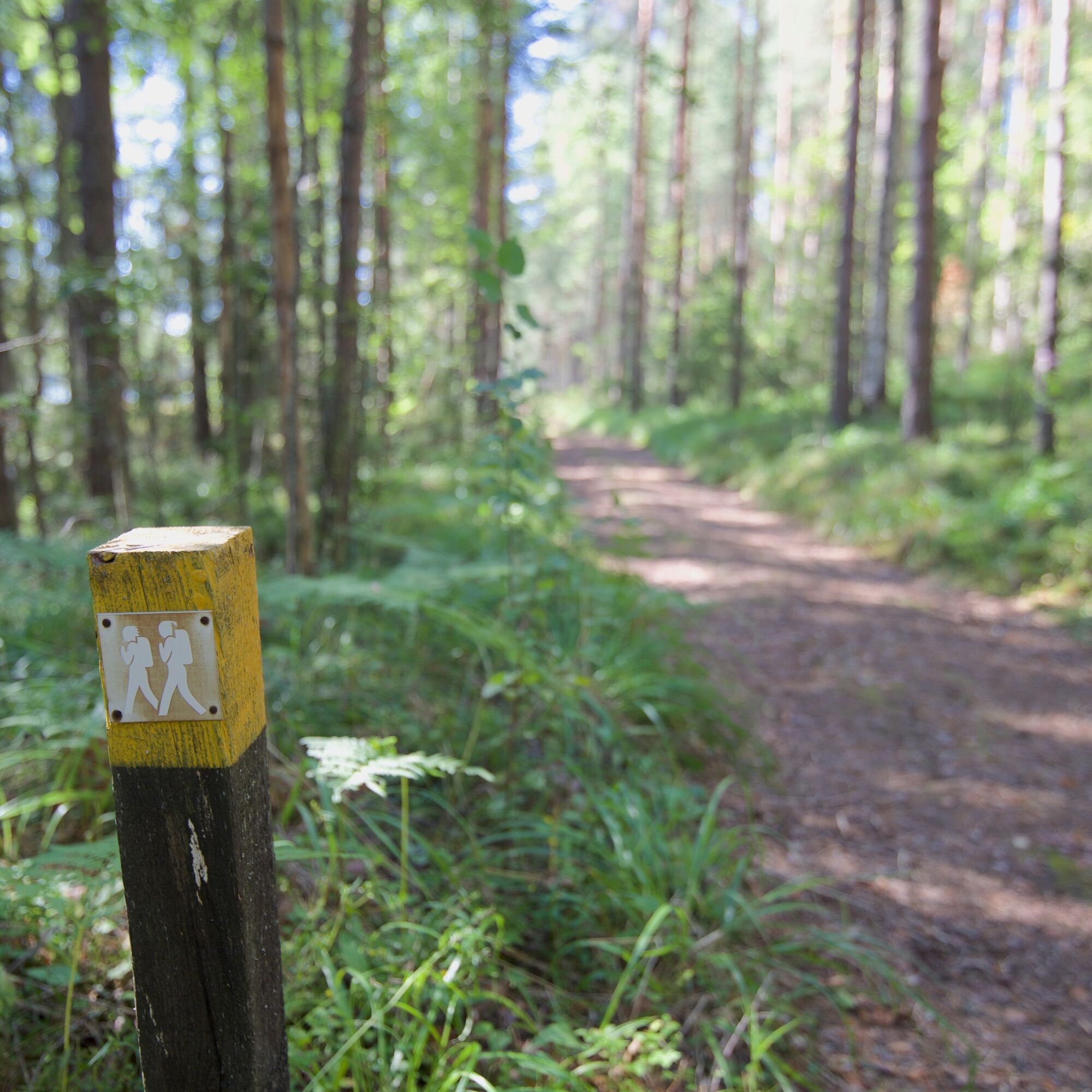
When leaving the Sonnanen parking lot, follow the signs to Ketturiutta and Kylmälampi. The route is marked with yellow trail markers.
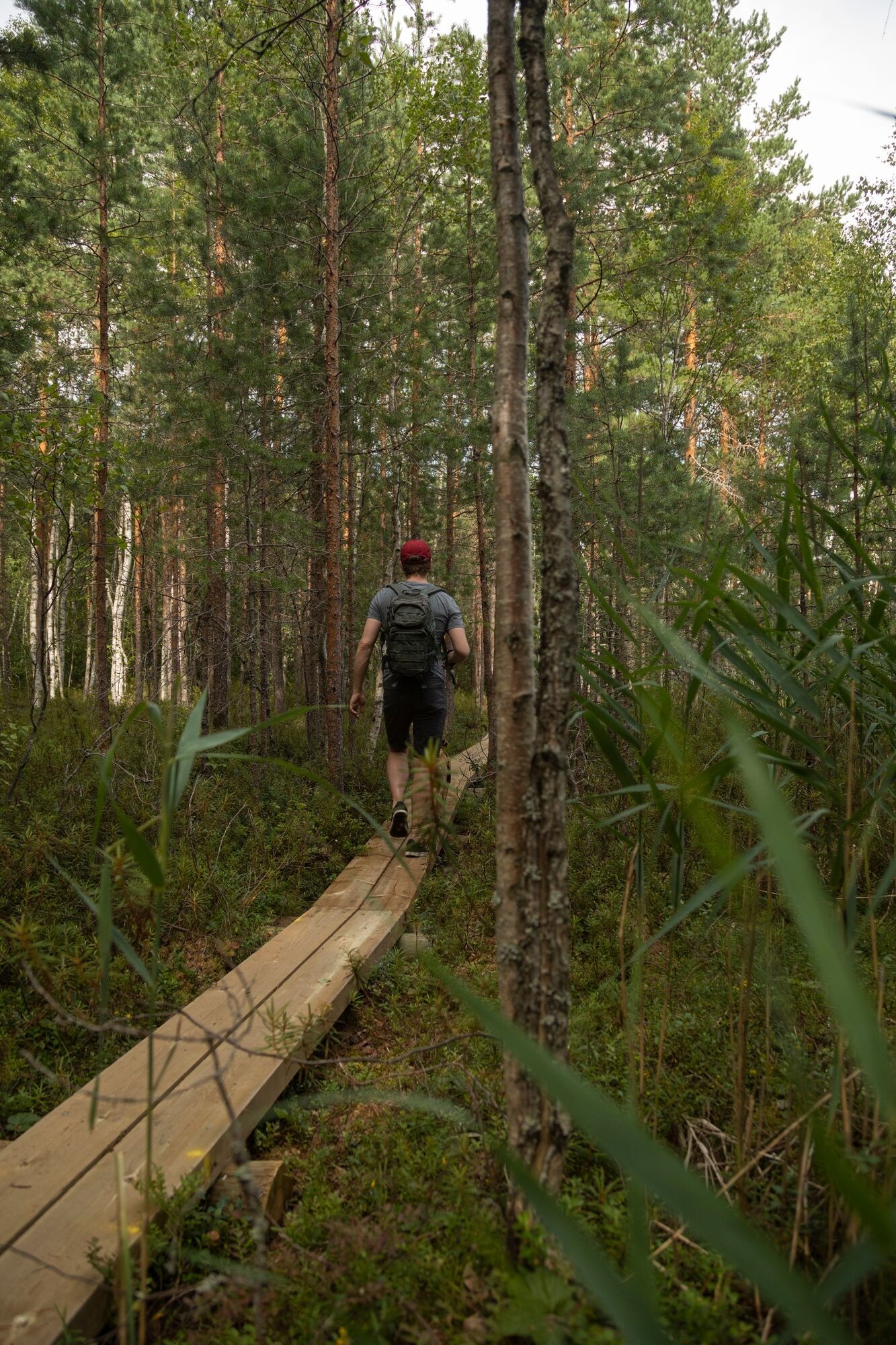
The path between Sonnanen and Ketturiutta, 2.3 km, passes through bright pine forests and swamps. At the end of Ketturiutta, along the route, is Myllyoja swamp, which is boardwalked. About just over a kilometer from Sonnanen parking lot, the route branches towards the Harjulampi campfire site. You can admire the scenery of the Kuijärvi isthmus by continuing a little further from the Harjulampi campfire site. From the narrow isthmus, you can enjoy the magnificent views of Eastern Saarijärvi and the beauty of Western Kuijärvi. Both routes must be returned the same way.
The Ketturiutta camping area has a cooking shelter, dry toilet, and parking area. The Harjulampi campfire site has a campfire spot, wood storage, and dry toilet.
Ano
Ano
Ano
Equipment suitable for the weather. In summer, sneakers are enough on the trail.
For making fire, bring a knife and your own matches. Fire sites have wood supply.
The route is easy to walk ridge terrain or forest roads. Boardwalks can be slippery after rain.
The route can be started either from the Sonnanen or Ketturiutta parking lots.
A road (number 46) leads north from Heinola city center towards Kouvola. Drive 5 km on the road and turn left onto the Mäntyharju - Heinola road (number 4143) towards Voikoski. Drive about 20 km, after which there is a sign on the right side of the road to the Sonnanen parking area.
To reach the Ketturiutta parking area, continue driving 1.2 km from the Sonnanen parking area on the Mäntyharju - Heinola road (number 4143) towards Mäntyharju, then turn right onto Ketturiuttantie. From the intersection, it is 1.3 km to the Ketturiutta parking area, where there is a sign.
The Paistjärvi area is located east of highway 5. It is 20 km from Heinola center to Paistjärvi and 25 km from Mäntyharju center. Paistjärvi is about 55 km from Lahti, 63 km from Kouvola, and about 67 km via Mäntyharju from Mikkeli.
The Paistjärvi area is located east of highway 5 (E75) in eastern Heinola. There is no public transport to the area.
Free parking is available at Sonnanen and Ketturiutta parking lots.
Please remember to act according to good hiking etiquette. Read more about the Paistjärvi recreational area and routes at luontoon.fi.
The Pirunkirkko located in the Paistjärvi recreational area is also definitely worth a visit. The Pirunkirkko circuit is 4 km and the starting point is Niinilampi parking lot.
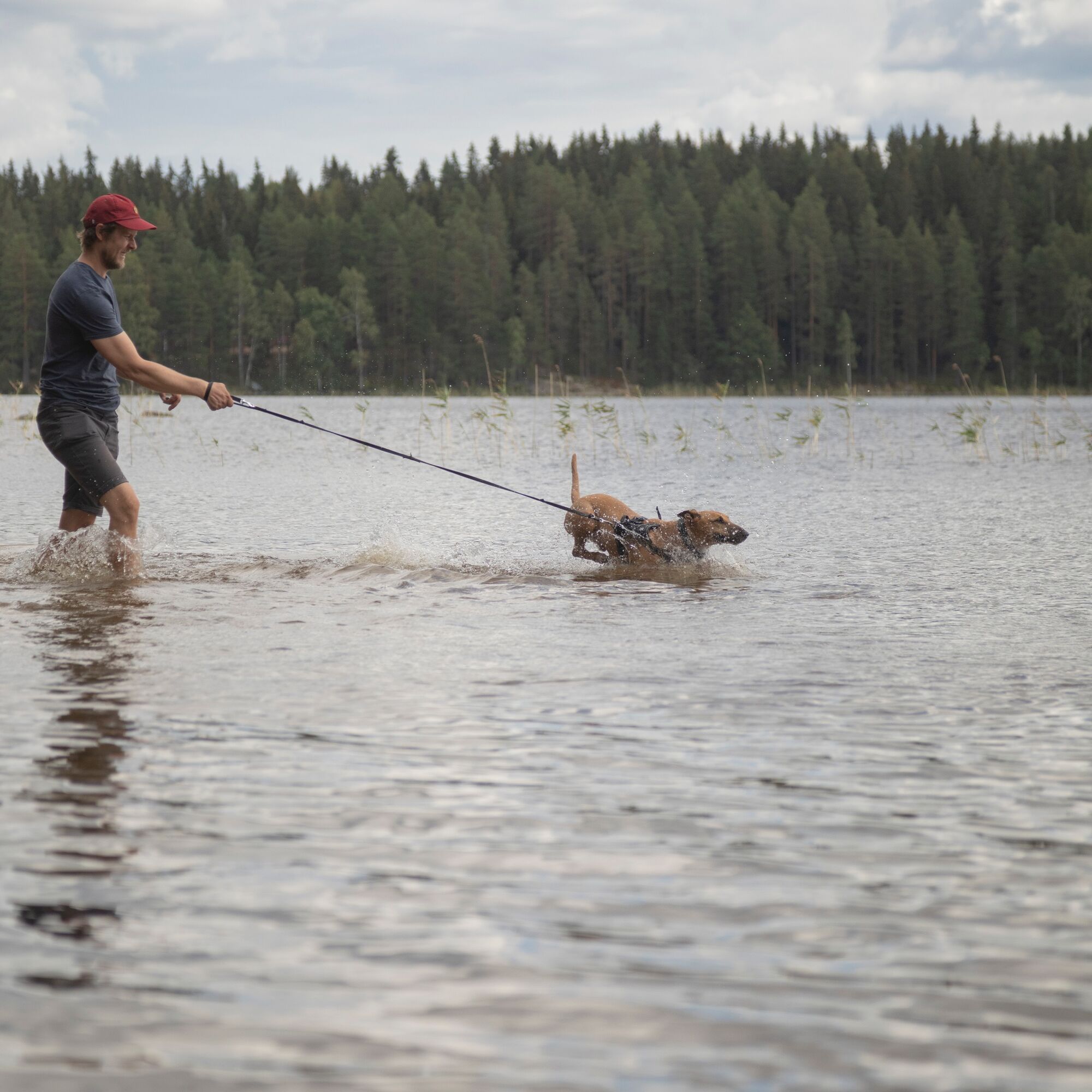
There is no official swimming beach in the Paistjärvi area, but the area's clear lakes are well suited for swimming and small-scale paddling and SUP excursions.
Oblíbené prohlídky v okolí
Pirunkirkko Cave, Paistjärvi Area
středníTuristika 4.37 kmKannaksen route, Paistjärvi recreation area, Heinola
Turistika 8.40 kmKouvola - Pitkäniemi - Heisanharjun varauskota
světloTuristika 2.78 kmNurmaa - Vanhakorpi - Pökölä - Paljakka
heavyMountainbike 68.3 kmMäntyharju - Nurmaa - Jäniskylä - Alho
středníMountainbike 57.8 kmKouvola - Heisanharju - Heisanharjun varauskota - Pitkäniemi
světloTuristika 4.38 km

Pěší turistika a stopování


Nenechte si ujít nabídky a inspiraci pro vaši příští dovolenou
Vaše e-mailová adresa byl přidán do poštovního seznamu.