





Kammiovuori, Sysmä

When climbing to the top of Kammiovuori, you conquer the second highest point in Southern Finland, from which an impressive view opens far over Lake Päijänne. In addition to the great view, the impressive...
When climbing to the top of Kammiovuori, you conquer the second highest point in Southern Finland, from which an impressive view opens far over Lake Päijänne. In addition to the great view, the impressive seven-meter-high glacial erratic boulder Linta and the Hiskia cave, which according to tradition was the dwelling of a hermit living on Kammiovuori in the early 20th century, are of interest.
Along the route, you can also visit a small bog. Bogs are usually located on lowlands, but Kammiovuori's bog is interestingly situated 205 meters above sea level. After conquering the mountain and walking along a atmospheric forest path, it is nice to rest at a charming campfire site with a new lean-to shelter and enjoy the day's hiking rewards.
Kammiovuori is one of the most impressive sites in the Salpausselkä UNESCO Global Geopark. From the summit, you get wonderful views of Lake Päijänne and the rugged rocky mountain landscape, which is a remnant of an ancient fold mountain almost 2 billion years old. To the north, under the western cliff, there is a massive rock pile formed by stones detached from the cliff.

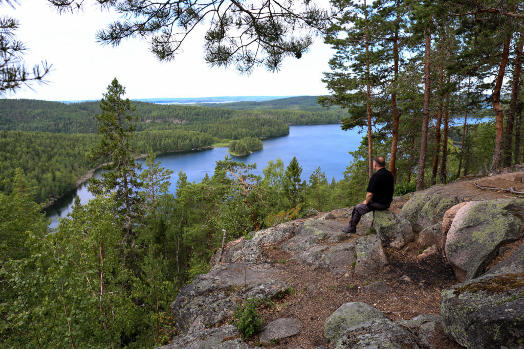
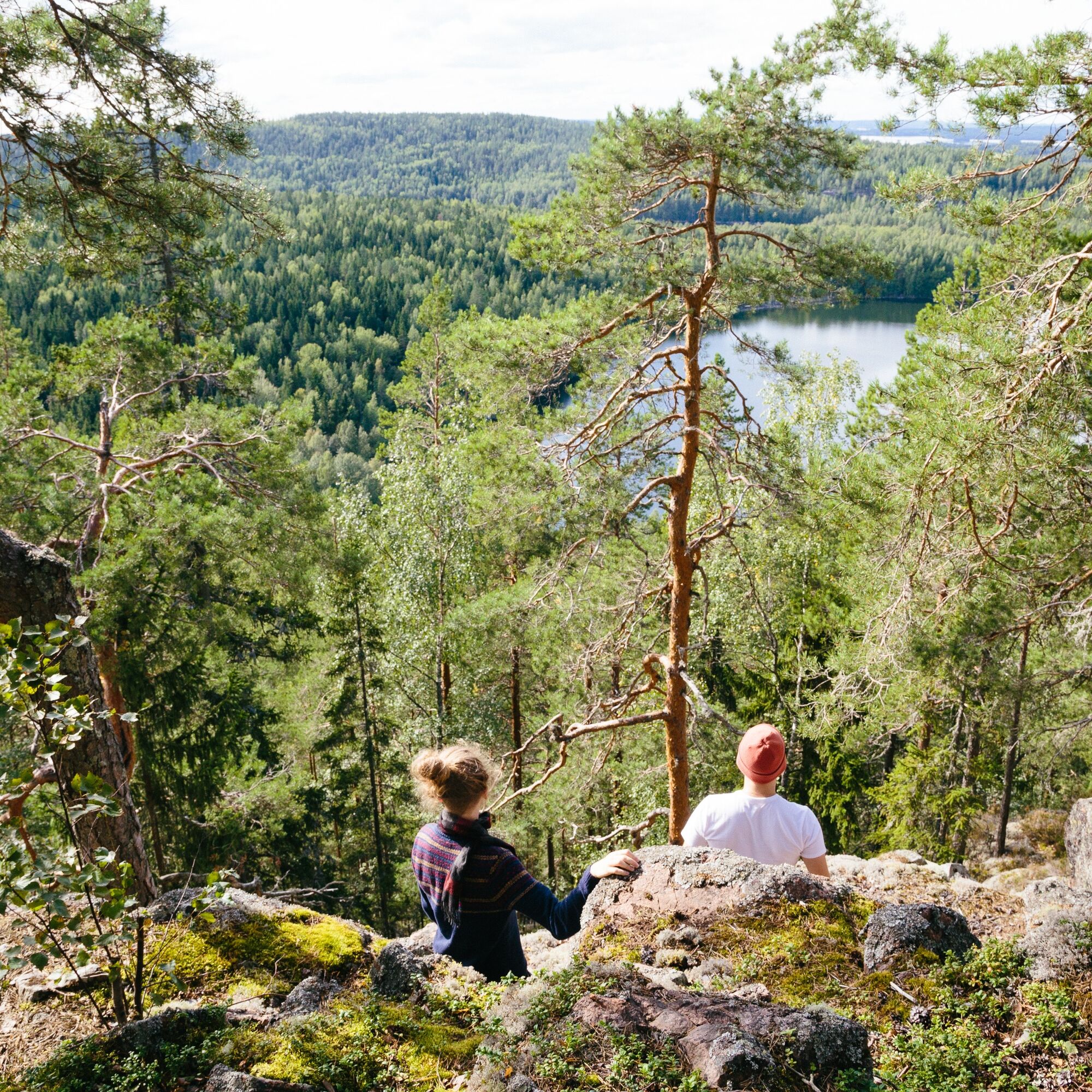
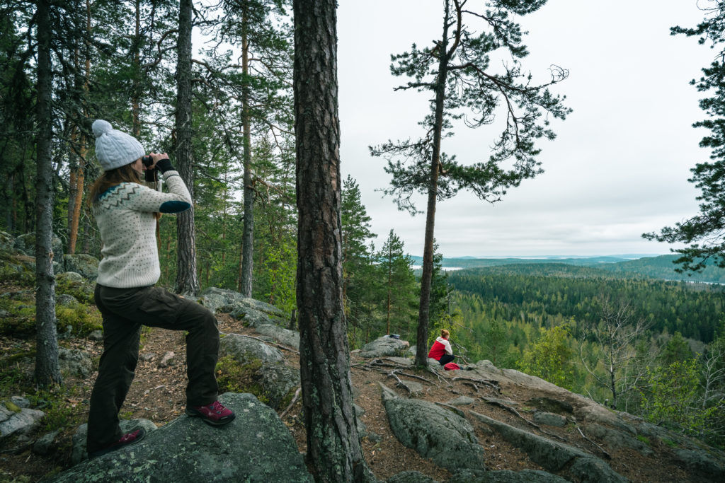
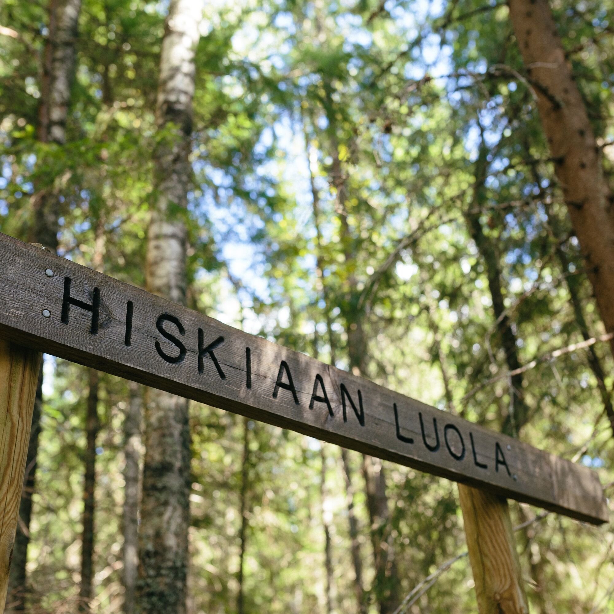
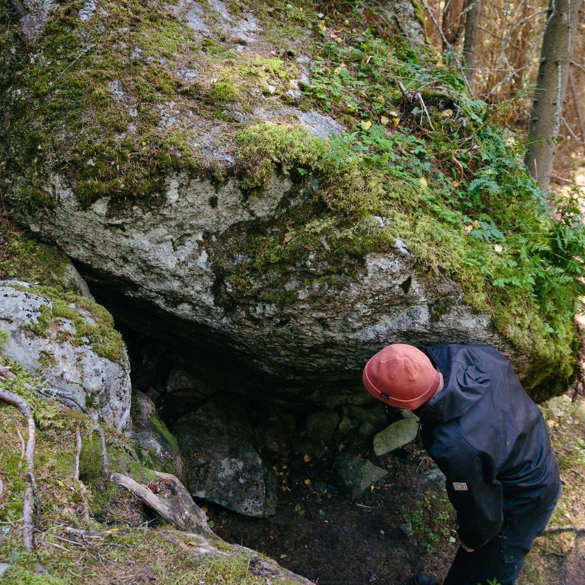
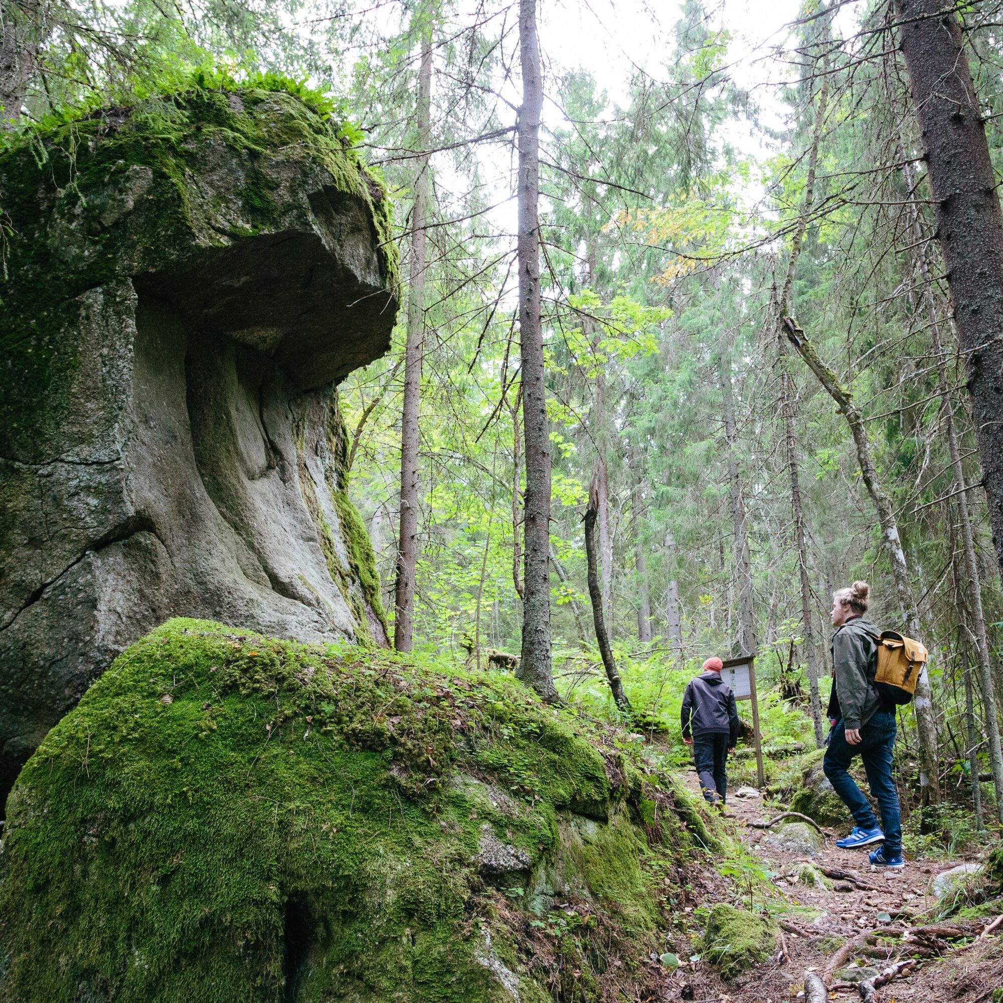


A welcoming and sturdy wooden gate visible from the parking lot leads to Kammiovuori's trail and nature reserve. The route is marked on the trees with blue and white paint marks. Along the path, there are also information boards about the area's nature.
After the gate, the path rises through a leafy and conifer-dominated mixed forest surrounding you toward Kammiovuori's summit. The lean-to shelter intersection is reached quite soon from the starting point, so it might be more meaningful to first go to the top of Kammiovuori to enjoy the spectacular views and rest at the lean-to shelter on the way back.
After the lean-to intersection, the path branches into a loop. Attractions along the route include the Hiskia cave, the seven-meter-high glacial erratic Linta, and Kammiovuori's summit itself. Before arriving at Kammiovuori's summit, on a rock there is a small iron frame, which is one of the Struve Geodetic Arc triangulation points.
The route continues from Kammiovuori's summit down a rather steep and root-covered path toward a leafy valley. Wooden stairs built into the terrain ease the passage. The landscape along the path includes moss-covered stones and beautiful untouched nature. After the valley, the path ascends toward the glacial erratic Linta.
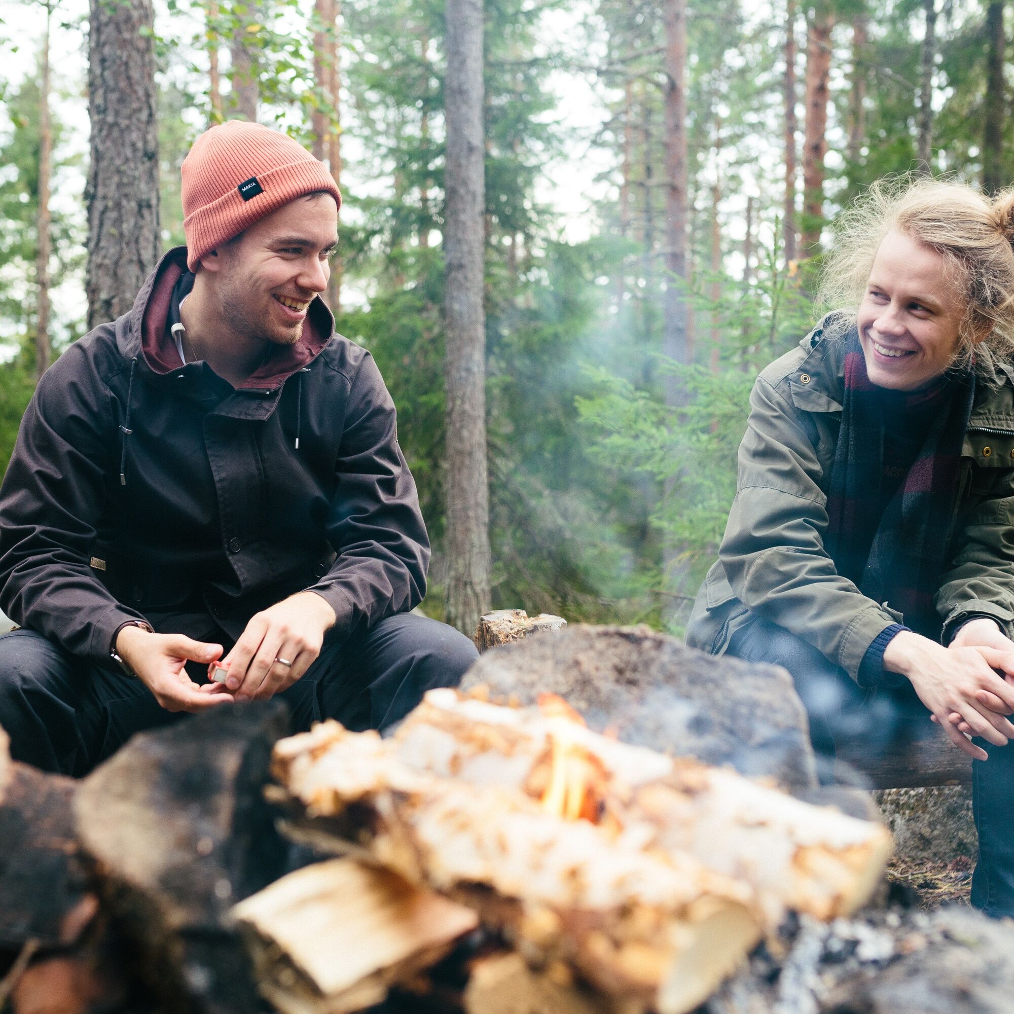
After admiring Linta, you pass through an atmospheric spruce forest until you reach the lean-to and campfire site. The area around the lean-to is a charming resting place in the shade of a pine forest. Here it is pleasant to enjoy your trail snacks and spend some unhurried time.
After the lean-to, you reach the same path you walked at the beginning shortly and now turn left and descend toward the parking lot, still enjoying the natural beauty, fresh air, and quiet.
Ano
Ano
Ano
It is recommended to bring fire-making tools and a knife for the route. There is firewood for making a campfire and a dry toilet at the lean-to shelter.
The route is demanding and at times very hilly and rocky, so sturdy footwear is recommended. In rainy and wet weather, puddles may form on the route, so waterproof shoes are advisable. The destination is not suitable for people with mobility impairments.
The route has difficult terrain and steep ascents and descents. The route is also rocky in many places, and there are many tree roots. Especially in wet and rainy weather, you should be careful as tree roots, slippery stones, and leaves on the path can be slippery.
Special caution must be exercised especially when moving along the edge of the rocky cliff and on the steepest parts of the route.
Despite its difficulty, Kammiovuori is a popular destination also among families with children. The route is passable in non-snowy conditions.
You can reach the start of the route by your own car or bicycle. From Sysmä, drive along road 612 for 24 km towards Luhanka, until you turn right onto Vintturintie, which you continue for 2 km. After this, turn left onto Nutturintie, and continue about 1 km to the Kammiovuori parking lot.
There are no public connections to Kammiovuori, but the Päijät-Häme regional taxi serves at the number 060 110 060.
The Kammiovuori parking lot is located in the immediate vicinity of the starting point.
It is advisable to bring sufficient drinks and snacks as the nearest stores are located 27 kilometers away in Sysmä.
There is a cycling route from Helsinki to Jyväskylä via Sysmä, so you can combine a cycling trip with a hiking day at Kammiovuori.
From Kammiovuori, you can hike to Hartola's Purnuvuori, but there is no signage along the way.
At the viewpoint, there is a table and benches, and further down the route a lean-to shelter with campfire places.
Familiarize yourself with the ABC of hiking - Hiking Etiquette
In the village of Vintturi, 3 km from Kammiovuori, is the summer restaurant The Pub of One Cow's Barn, which has a cult reputation among customers and is "in the middle of nowhere." Vintturi also offers accommodation and summer events, and there is a pier in the village for those arriving by boat.
A dry toilet is coming to the parking lot at the start of the Kammiovuori route in spring 2023.

Pěší turistika a stopování


Nenechte si ujít nabídky a inspiraci pro vaši příští dovolenou
Vaše e-mailová adresa byl přidán do poštovního seznamu.





