


Radansuu nature trail, Iitti
The Radansuu nature trail circles about eight kilometers through the landscapes of Radansuu village. The trip can start either from the Radansuu Lake Urajärvi beach or the Pohjanmäki boat dock. The trail...
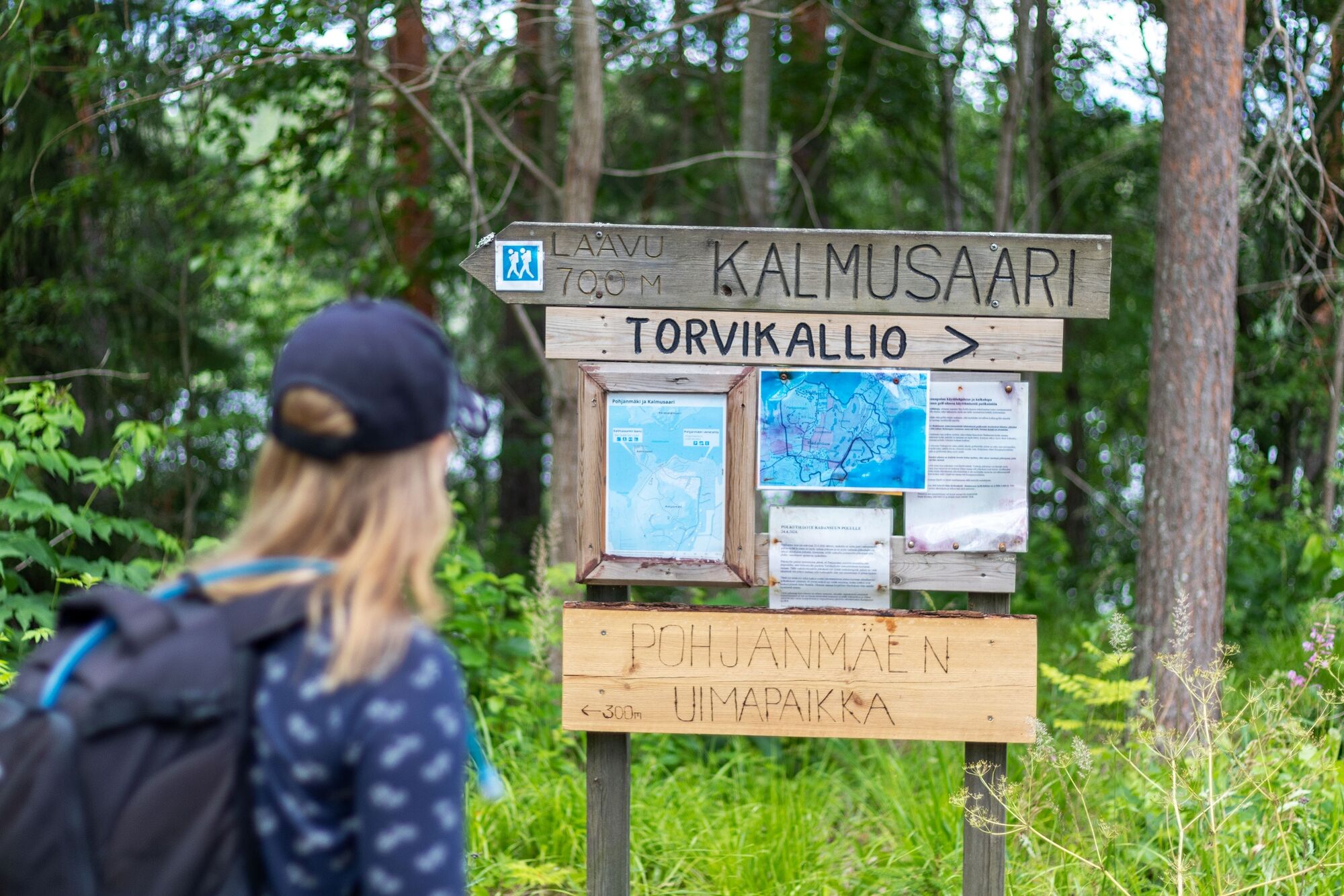
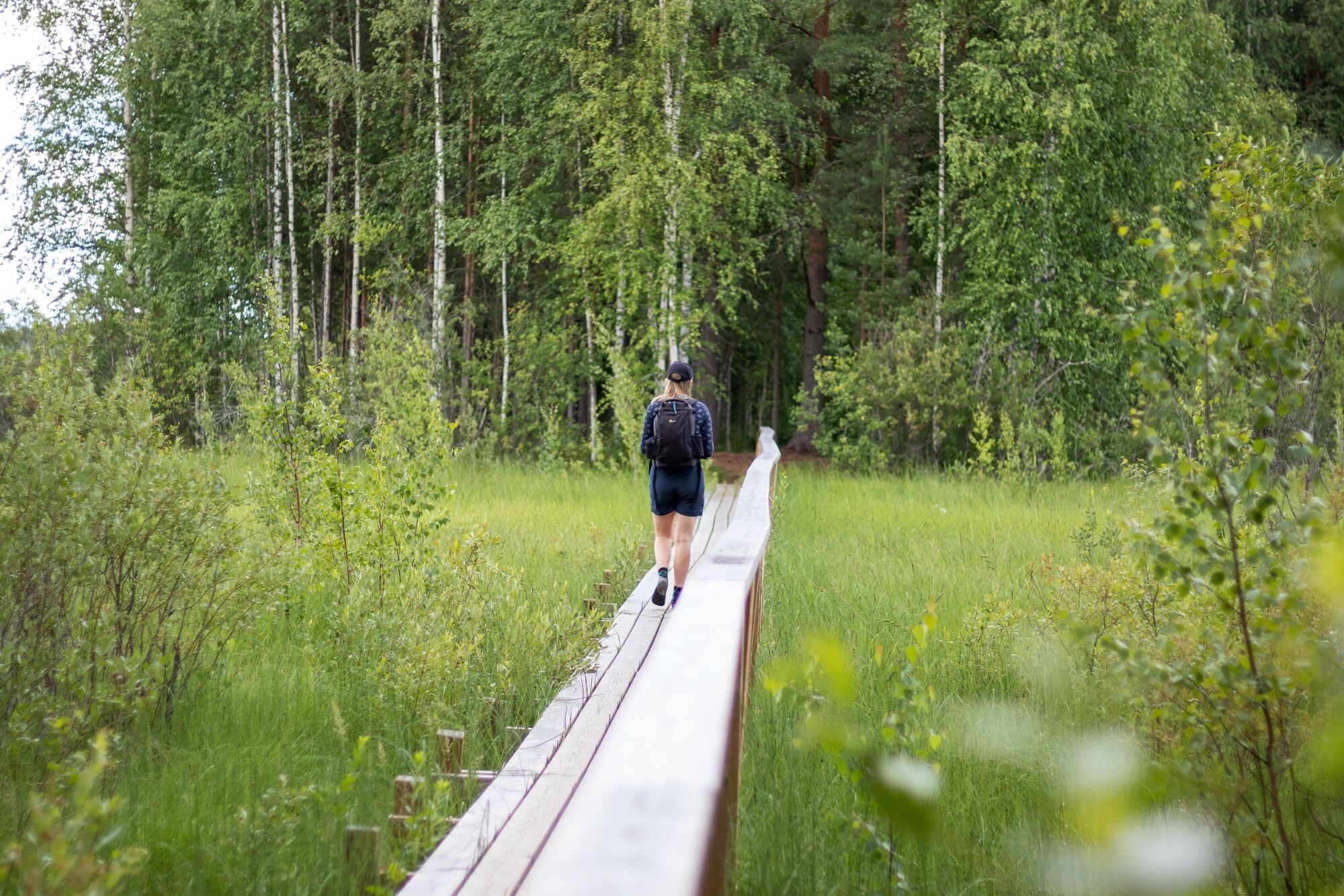
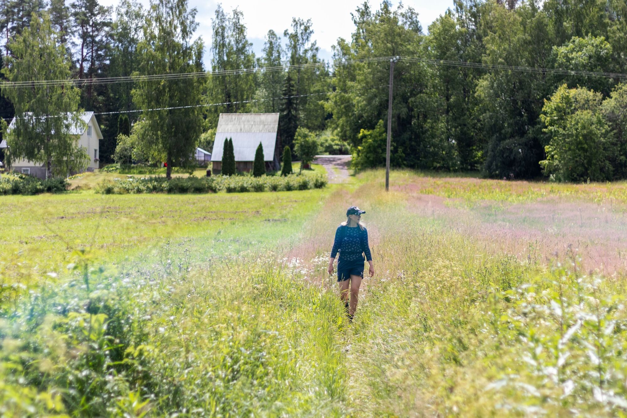
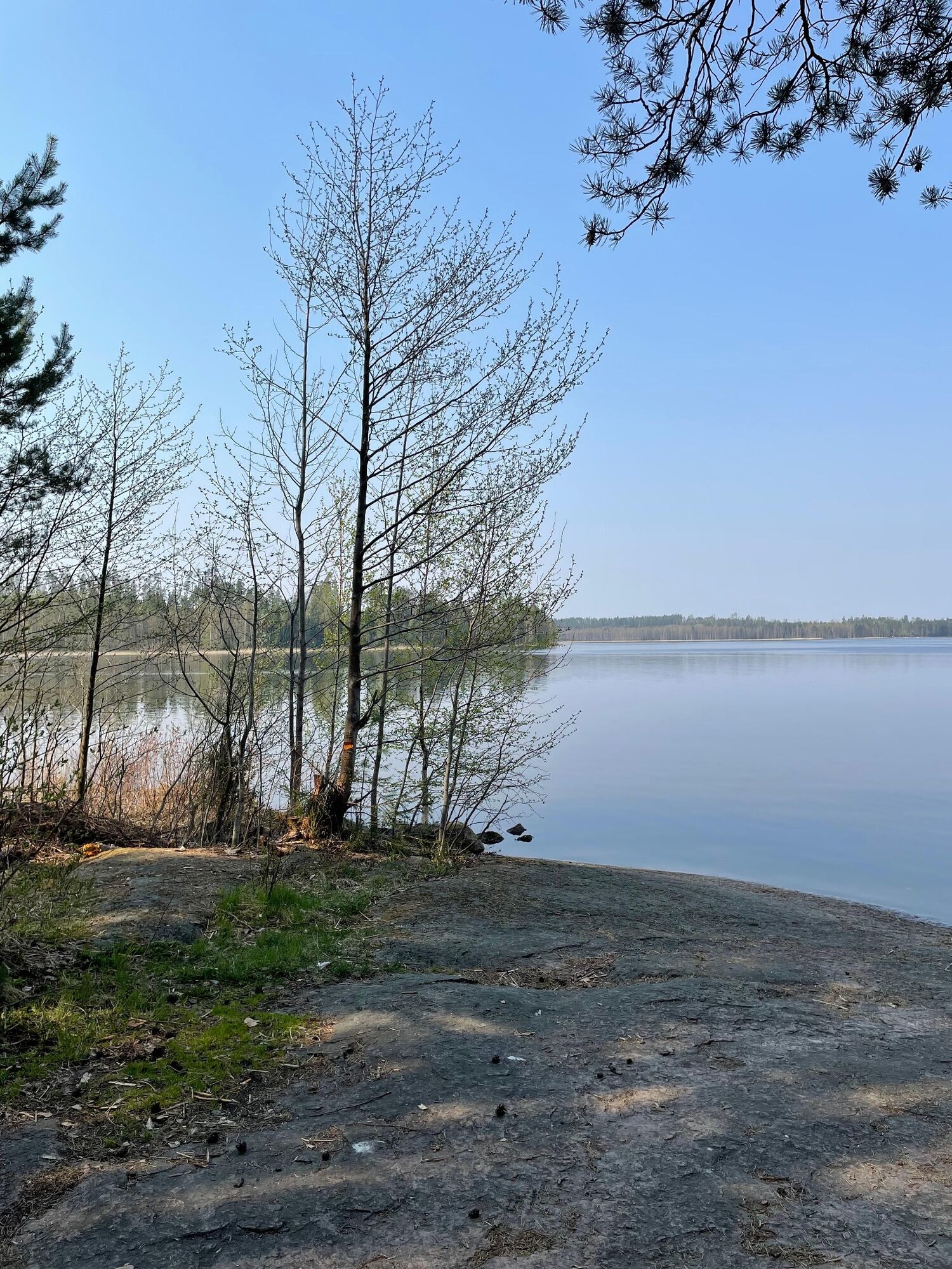
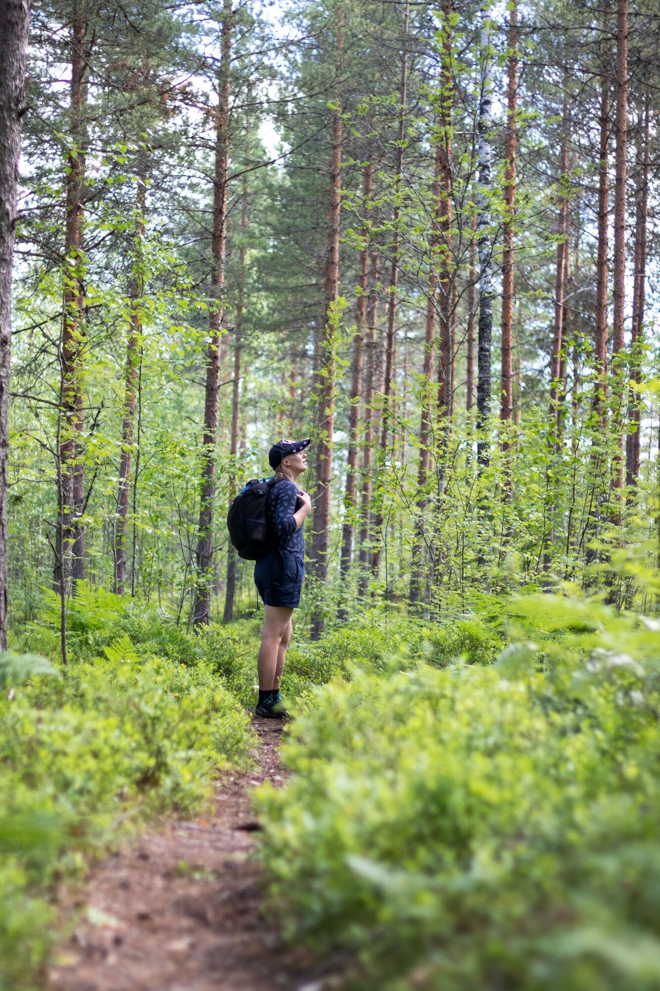
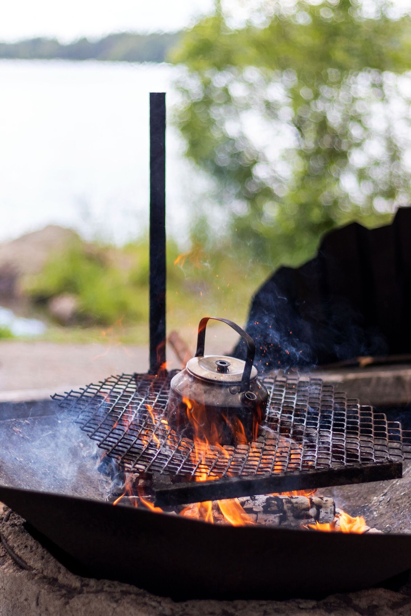
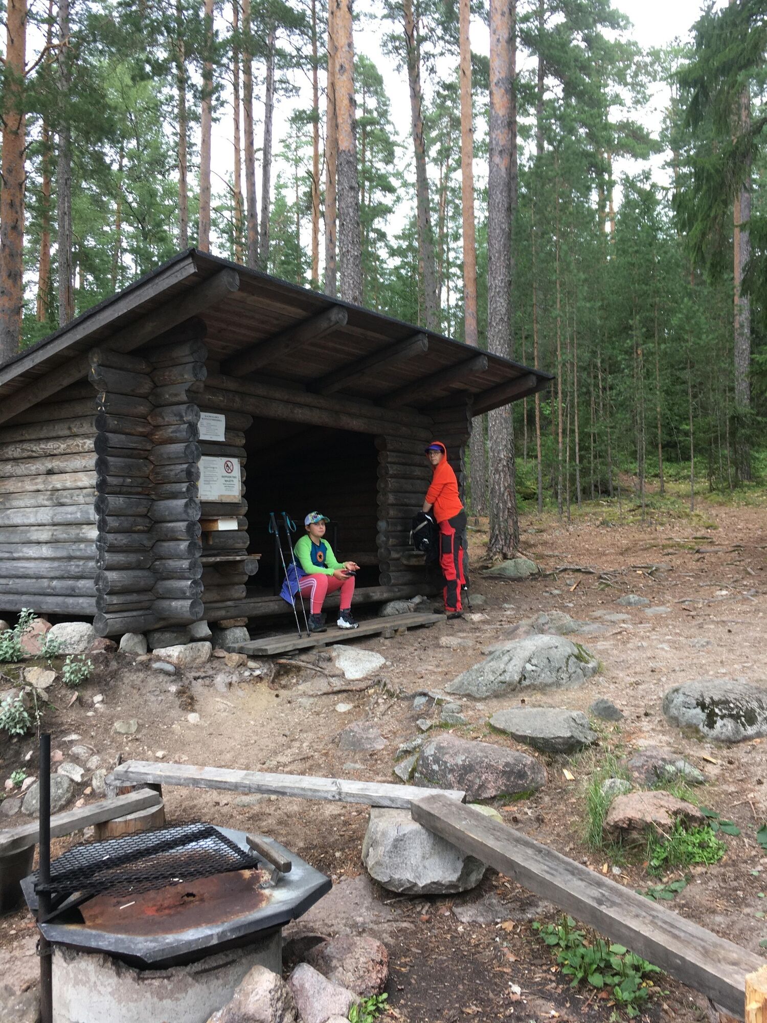
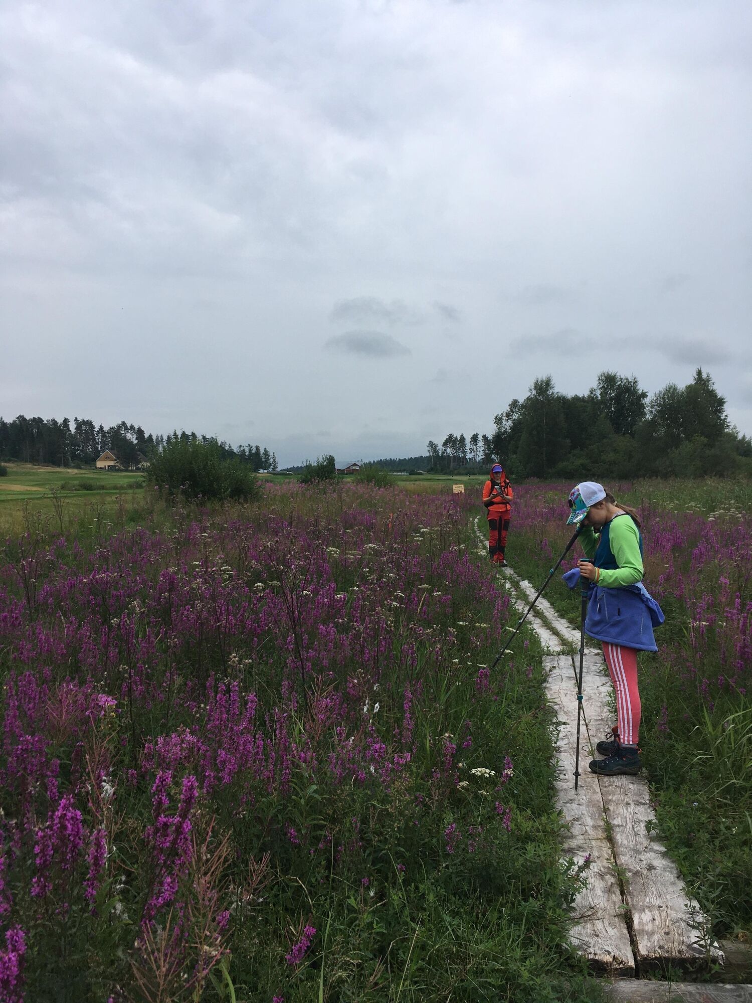
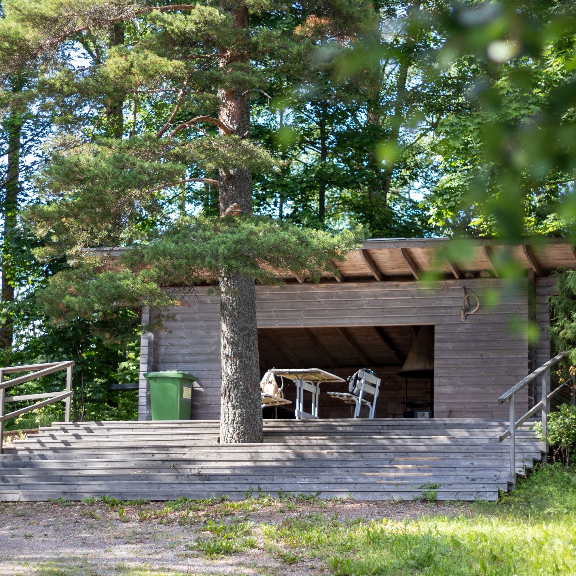
The Radansuu nature trail circles about eight kilometers through the landscapes of Radansuu village. The trip can start either from the Radansuu Lake Urajärvi beach or the Pohjanmäki boat dock. The trail can be walked in both directions. Along the way, there are interesting sites: a charming village shop, the impressive Kuoppasuonlahti reed bed, and Kalmusaari, which has a lean-to shelter, campfire site, and compost toilet. The route is quite easy to walk and includes long boardwalk sections.
Ano
The route can be walked in running shoes, but waterproof footwear may be a better choice in wet weather. There is also some grass on the route, so it’s advisable to wear long trousers.
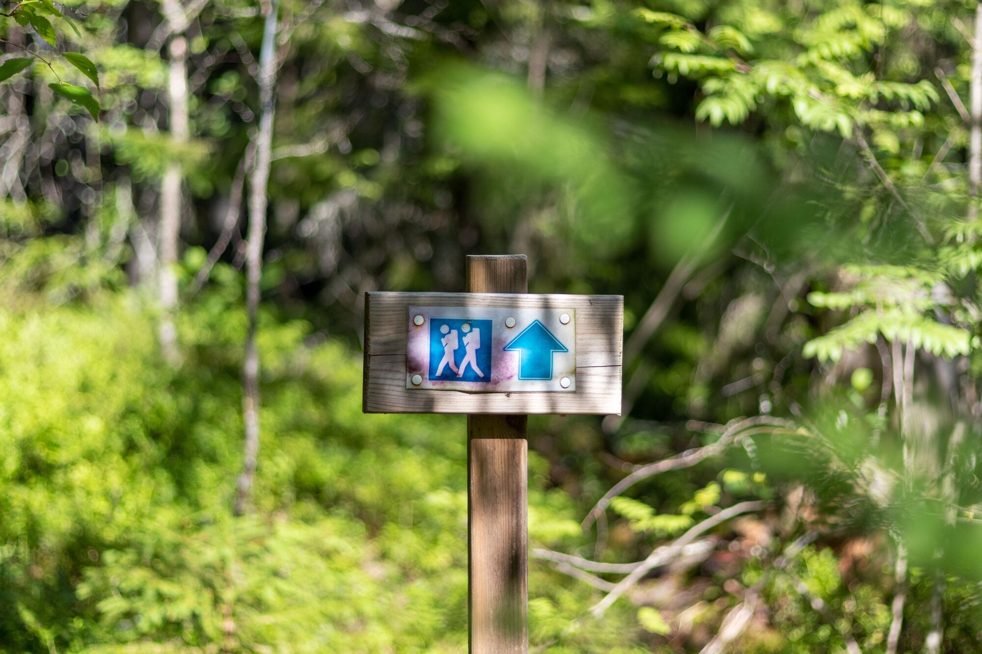
The route is marked with blue and white hiking guide signs.
In wet weather, the boardwalks can be slippery and partly underwater.
Drive about 5 km on Iitintie until after Radansuu village (golf course on the left), then turn right onto Urjäjärventie. From Urjäjärventie, turn left onto Uimarintie.
A good parking area near the beach, with municipal and Radalla Resort piers next to the parking lot.
The route can be started either from the Lake Urajärvi beach or the Pohjanmäki boat dock.
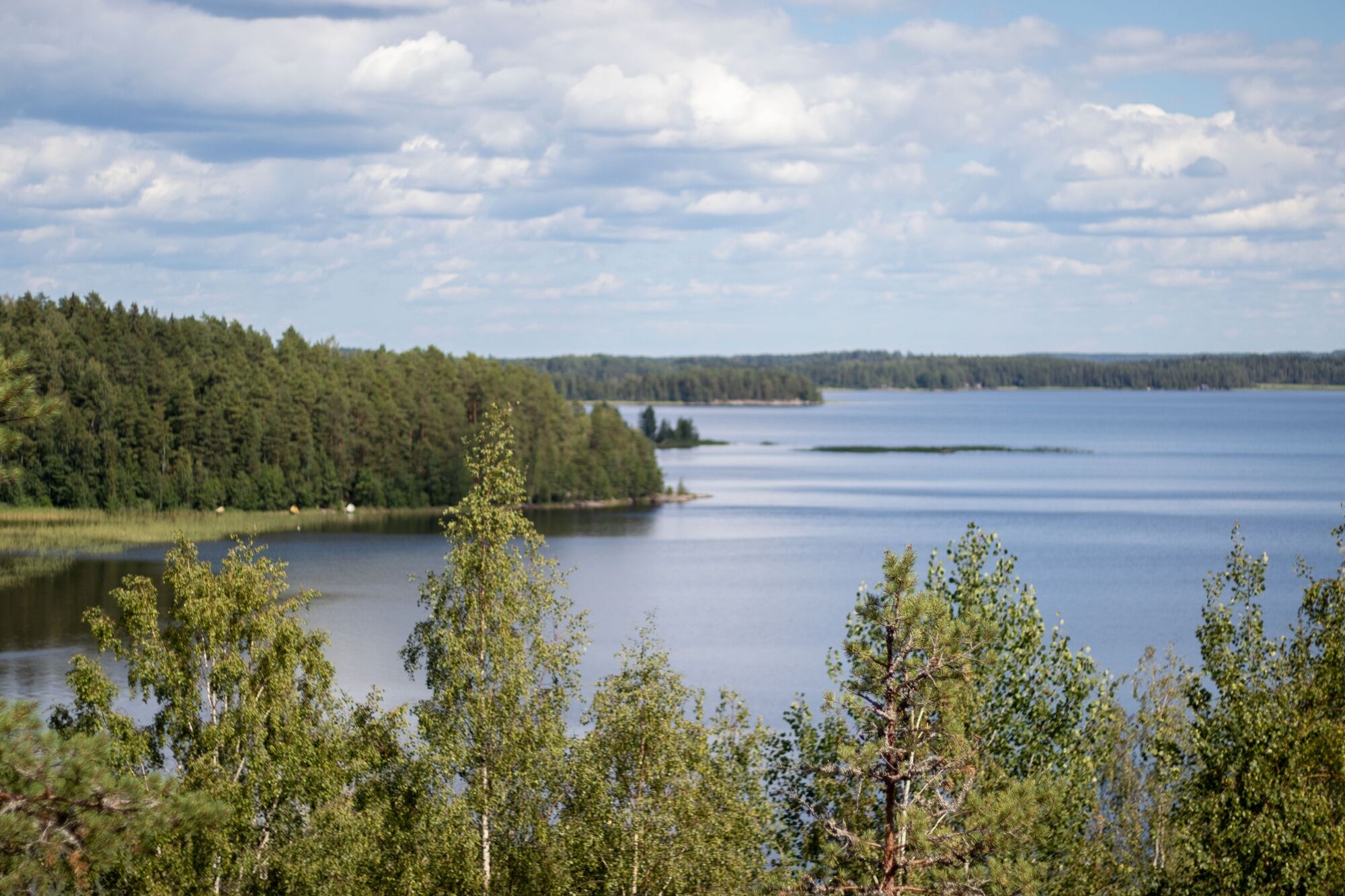
Stop for a snack break at Lemmenkukkula Hill. You also get to enjoy the beautiful lake views towards Lake Urajärvi.
Oblíbené prohlídky v okolí
Veskansa Route, Iitti
středníJízda na kole 59.1 kmCanoe route from Lahti to the Kymi River and Kimola Canal
středníKajak / Kánoe 166.5 kmMaakansa route, Iitti
světloJízda na kole 28.3 kmIitti–Vuolenkoski: Kayaking route around Iitti's Hiidensaari through Kimola Canal to Vuolenkoski
středníKajak / Kánoe 69.0 kmRavilinna ten-kilometer loop, Iitti
světloTuristika 10.4 kmUrajärvi paddling, Iitti
světloKajak / Kánoe 11.2 kmVuolenkoski – Säyhtee – Mankala cycling route, Iitti
středníJízda na kole 64.6 kmRieska route, Iitti
světloJízda na kole 21.8 kmIitti ring paddling route
středníKajak / Kánoe 63.9 kmUrajärvi cycling circuit, Iitti
světloJízda na kole 33.1 km

Pěší turistika a stopování


Nenechte si ujít nabídky a inspiraci pro vaši příští dovolenou
Vaše e-mailová adresa byl přidán do poštovního seznamu.