







Tar da da path Schleitheim
The Randentaler adventure route goes over "rough terrain" and invites you to participate at 13 stations in the open nature. The varied hike starts in the pretty village of Schleitheim, or "Schlaate," as...
The Randentaler adventure route goes over "rough terrain" and invites you to participate at 13 stations in the open nature. The varied hike starts in the pretty village of Schleitheim, or "Schlaate," as the locals say, and after about 500 meters goes out into the open nature, into the eventful forest. There you will encounter sound tubes, hag running, three-point beams, chaos pendulums, giant xylophone, and tube telephone, as well as exciting information about local features. The walking time is about two hours. However, you should allow enough time. The path is not suitable for strollers. It can be walked from both directions.
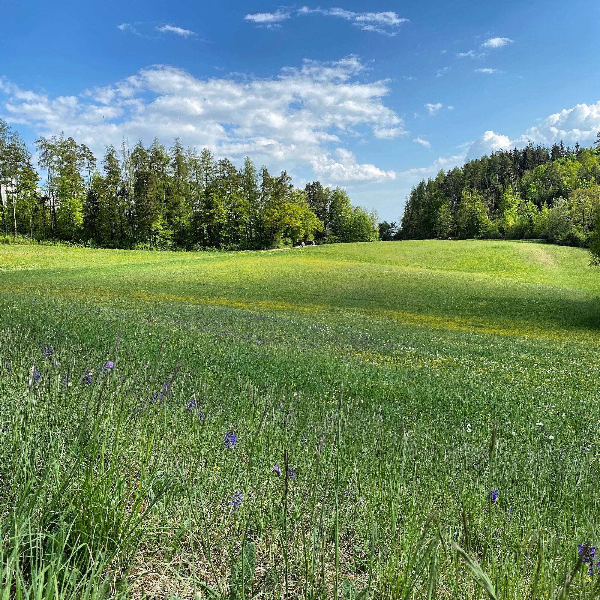
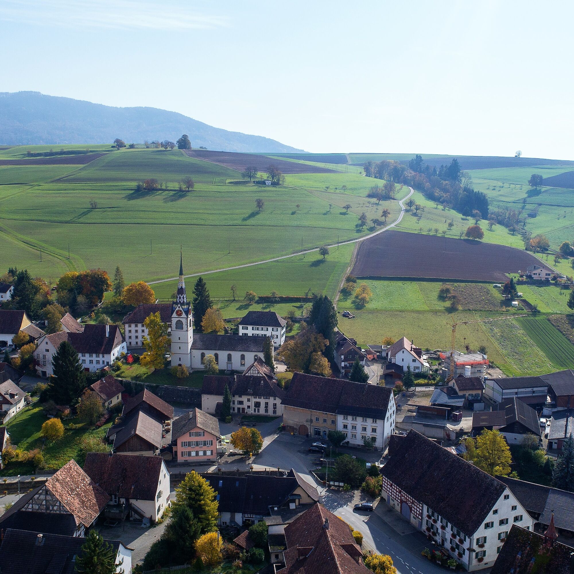
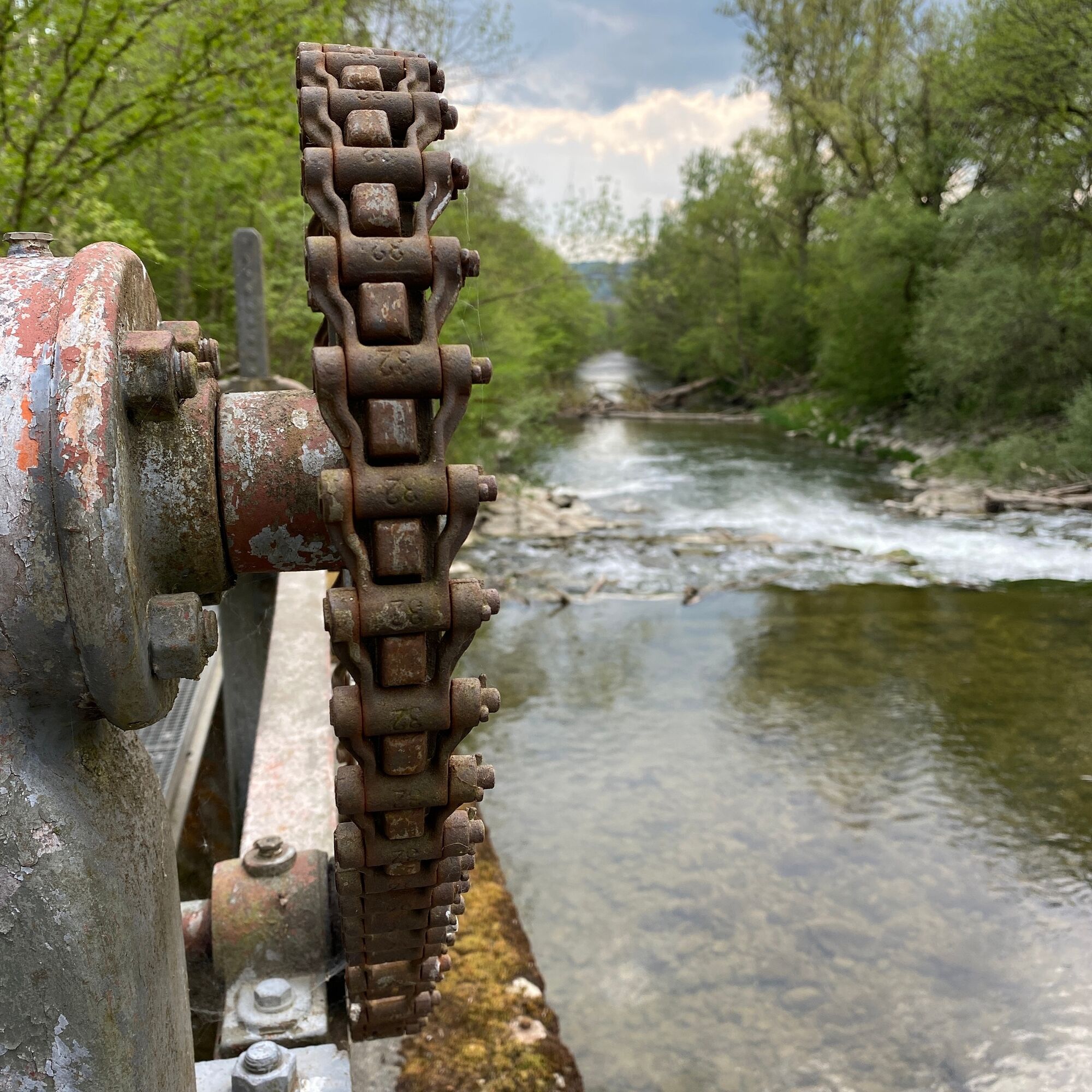
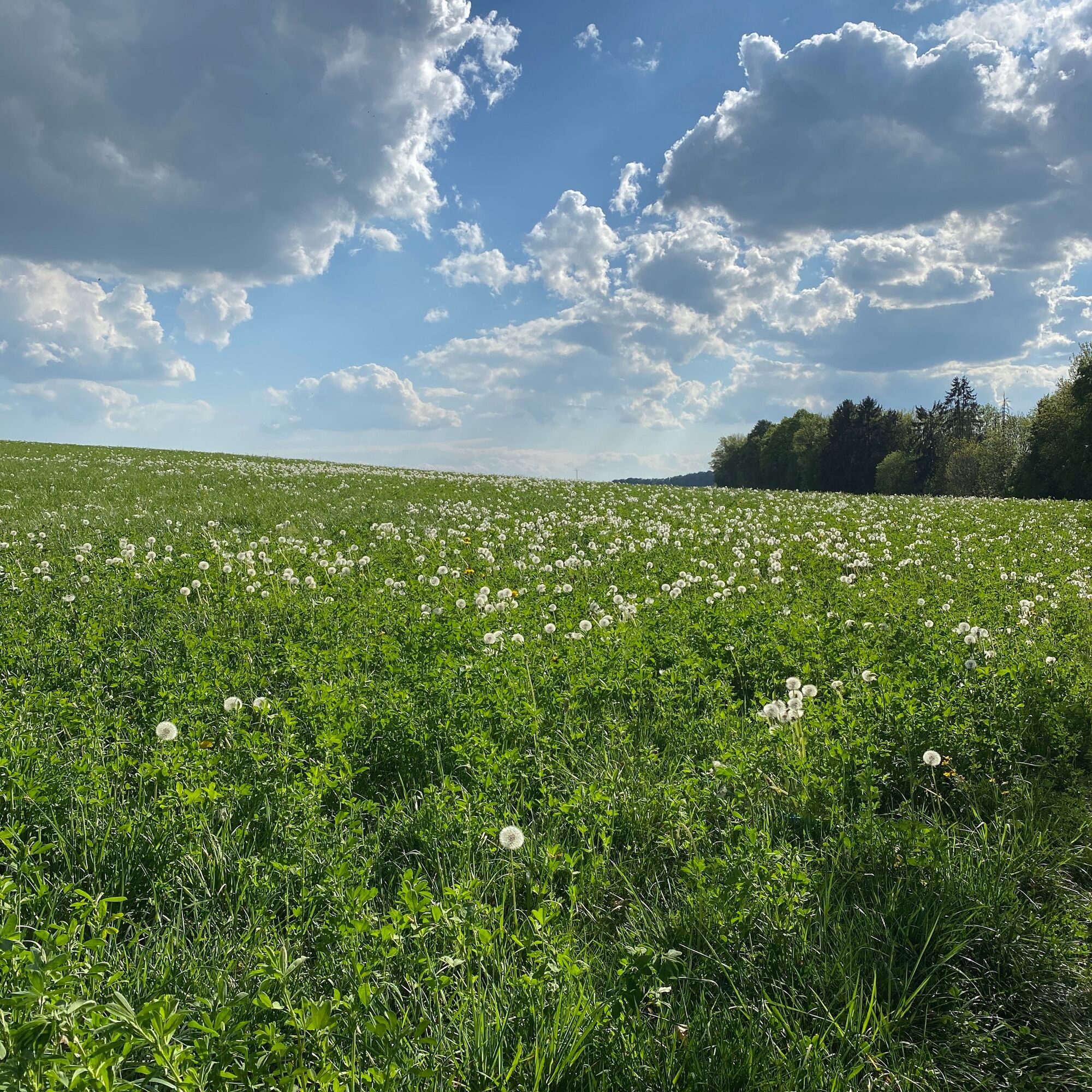
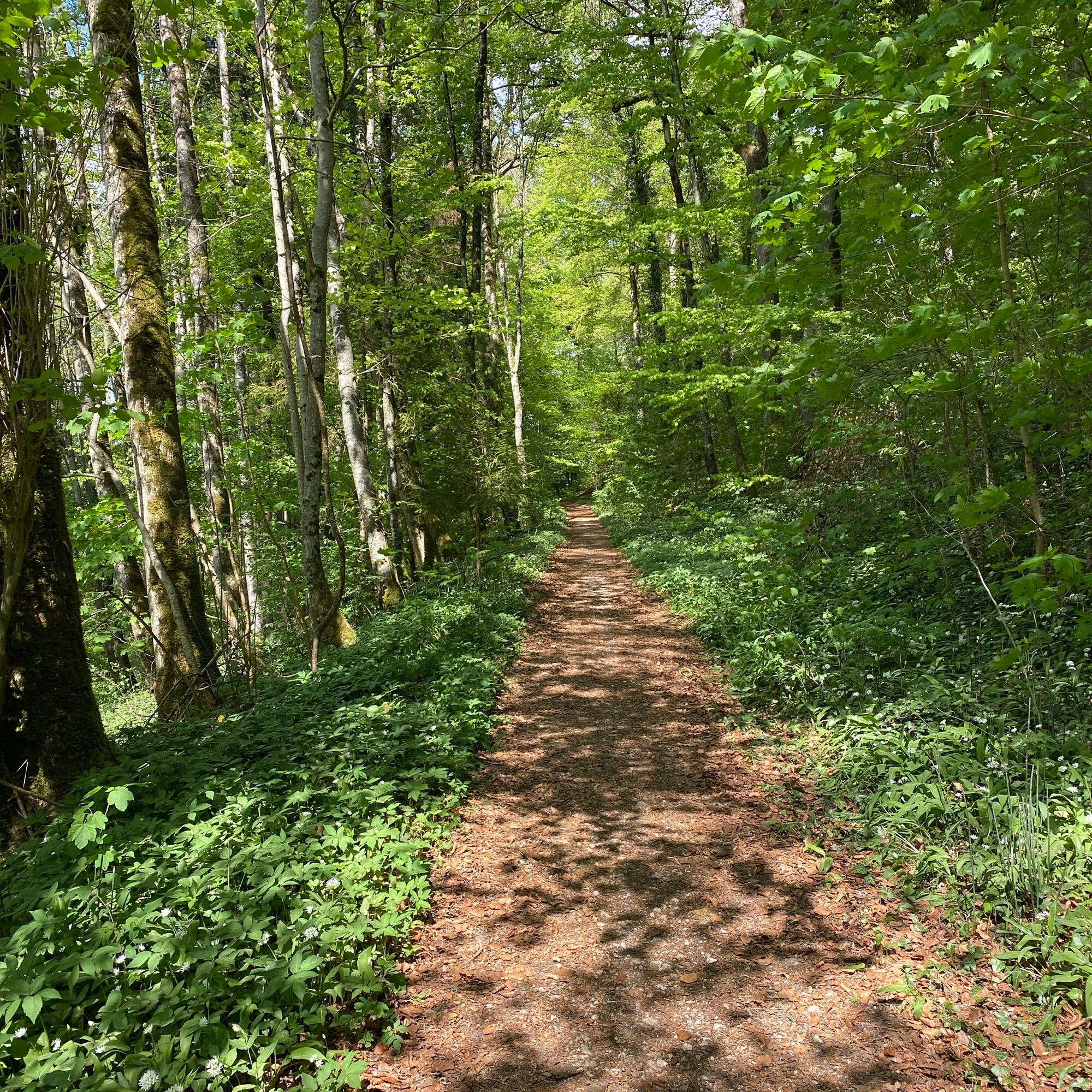
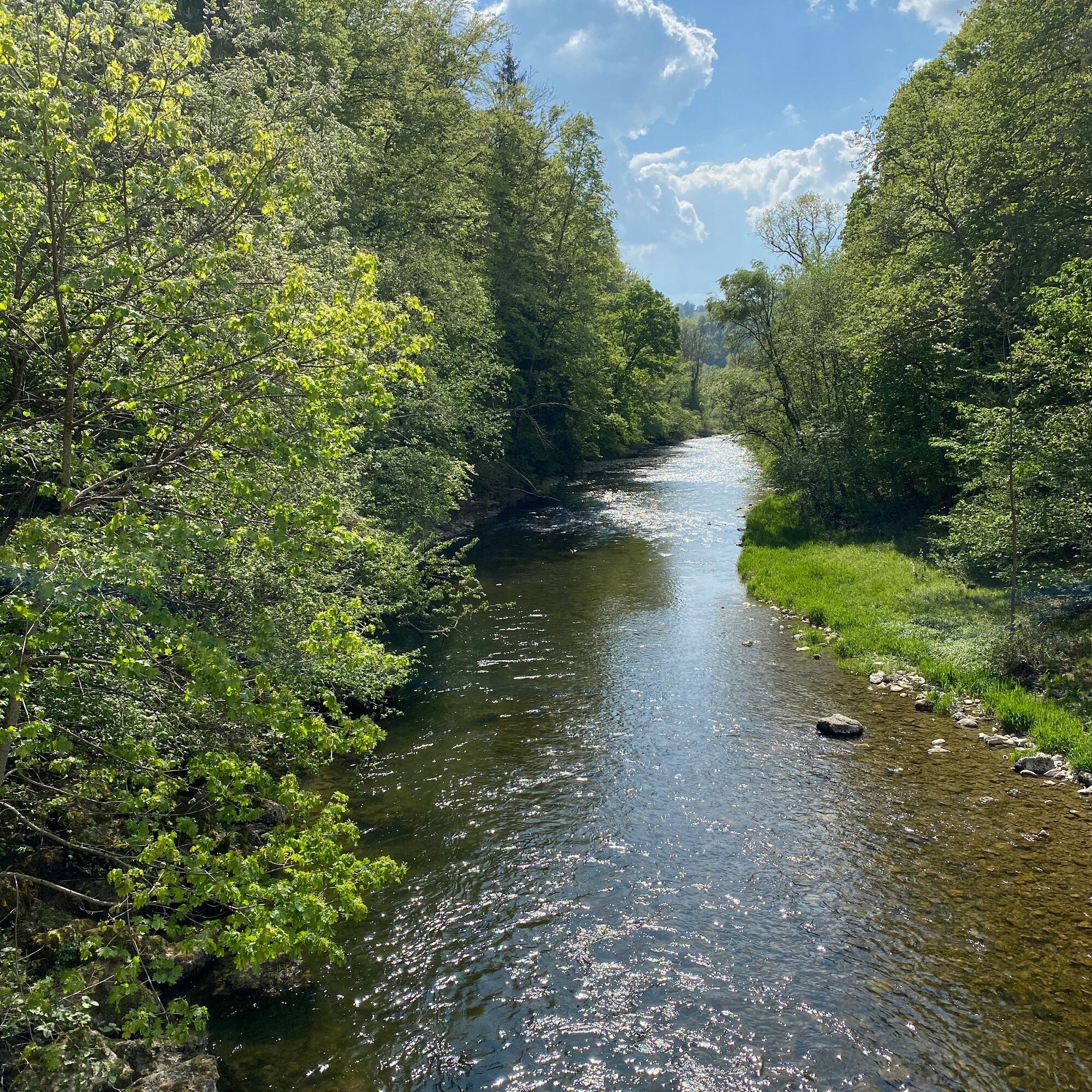
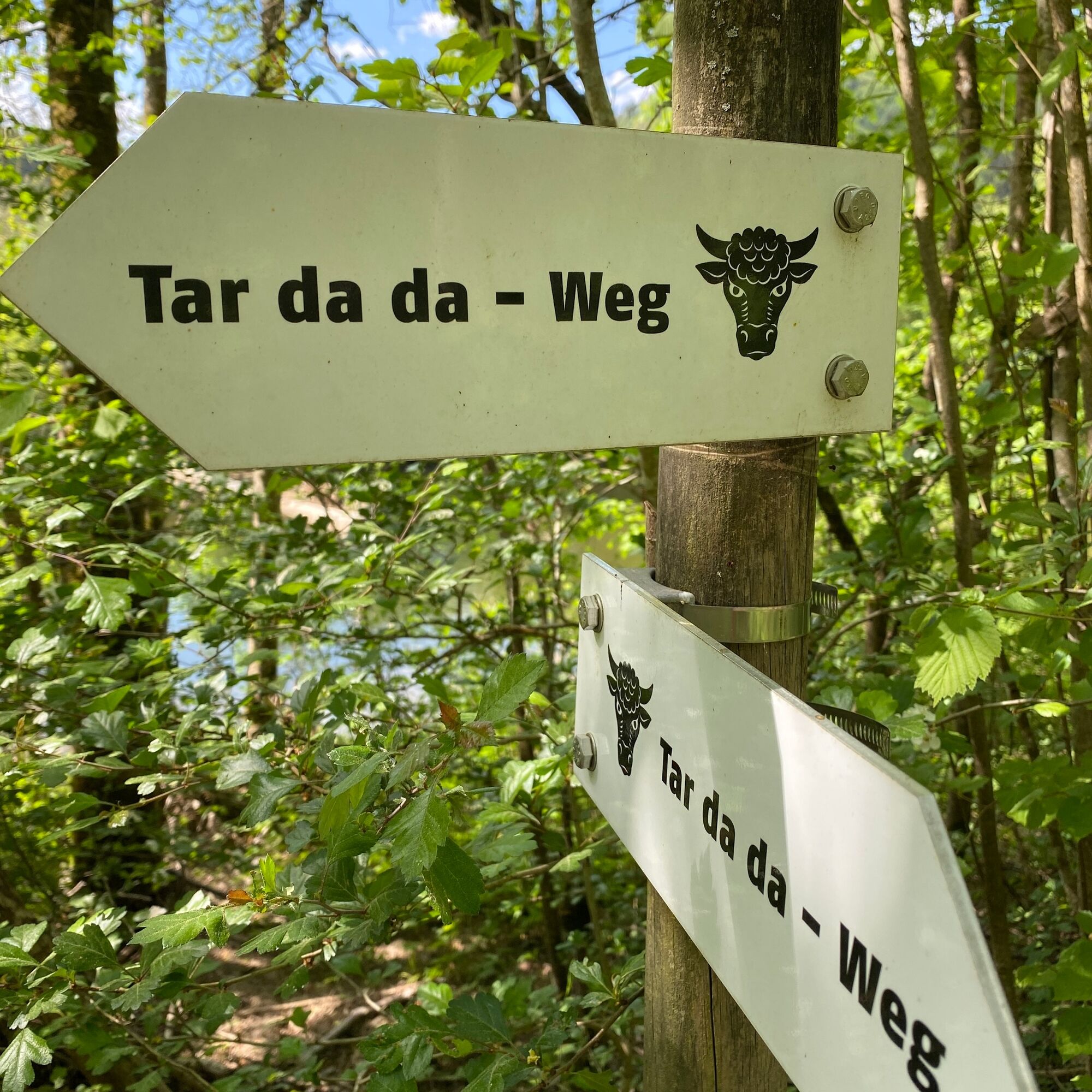

The "Tar da da path" begins at the western edge of Schleitheim village, leads in the direction of Beggingen through the Tüüfegass, past the Traubenhütte to the Wutach and on to Oberwiesen. The pure walking distance is around 5.5 km with an elevation difference of 92 m. Mostly, the path runs over field roads and natural paths. It is not suitable for strollers. Along the way, you will be informed about local features at 15 stations or, as with the "hag running," encouraged to participate. A barbecue area is available at the Elisabethenbrünneli.
Ano
Comfortable shoes
By car to Schleitheim
By bus to Schleitheim Bahnhofstrasse
There are various parking spaces available in the village.
Combine this hike with a visit to the Oberwiesen Gypsum Museum.
Získejte přehled
Vždy živě na místě s více než 9 500 webkamerami. bergfex Jako uživatel Pro si nyní můžete zobrazit odpovídající webové kamery pro mnoho prohlídek v aplikaci prohlídky z. Můžete si tak přímo prohlédnout aktuální podmínky.
Oblíbené prohlídky v okolí
-
4.6
Premium Hiking Trail - 3-Schluchten Tour
středníTematická stezka 9.62 km -
4.7
Wutachschlucht Rundwanderung im Süd Schwarzwald
středníTuristika 9.76 km -
4.7
Small Rheinfall Circular Route
světloTuristika 3.48 km -
5.0
Wutachschlucht+Lotenbachklamm
světloTuristika 10.0 km -
4.4
Wutach, Deutschland
středníTuristika 14.6 km -
Circular hike Schaffhausen - Rhine Falls - Schaffhausen
středníTuristika 10.0 km -
5.0
Circular hike over the Hinterranden
středníTuristika 11.0 km -
SwitzerlandMobility 896: Rhine Falls Circular Route
středníTuristika 7.39 km -
4.5
Nature trail Merishausen: Brown route
středníTematická stezka 11.4 km -
4.5
SchweizMobil 593: Nordspitze Panoramaweg
středníTuristika 13.7 km
Pěší turistika a stopování


Nenechte si ujít nabídky a inspiraci pro vaši příští dovolenou
Vaše e-mailová adresa byl přidán do poštovního seznamu.





