





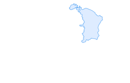

Circular hike over the Hinterranden

You start at the outdoor pool in Beringen and hike over the Hinterranden up to Winkeläcker. Then it mainly goes downhill to Löhningen and finally back through the beautiful vineyards to the starting point...
You start at the outdoor pool in Beringen and hike over the Hinterranden up to Winkeläcker. Then it mainly goes downhill to Löhningen and finally back through the beautiful vineyards to the starting point in Beringen. A varied circular hike with some elevation gain, mostly done at the beginning of the hike. In good weather, a visit to the Naturbadi in Beringen is recommended as a conclusion to recover from the hike and get enough refreshments.
If you still have enough energy, you can hike up to the Beringer Randenturm. It is about 45 minutes on foot away from the starting point and can be seen from the outdoor pool parking lot.
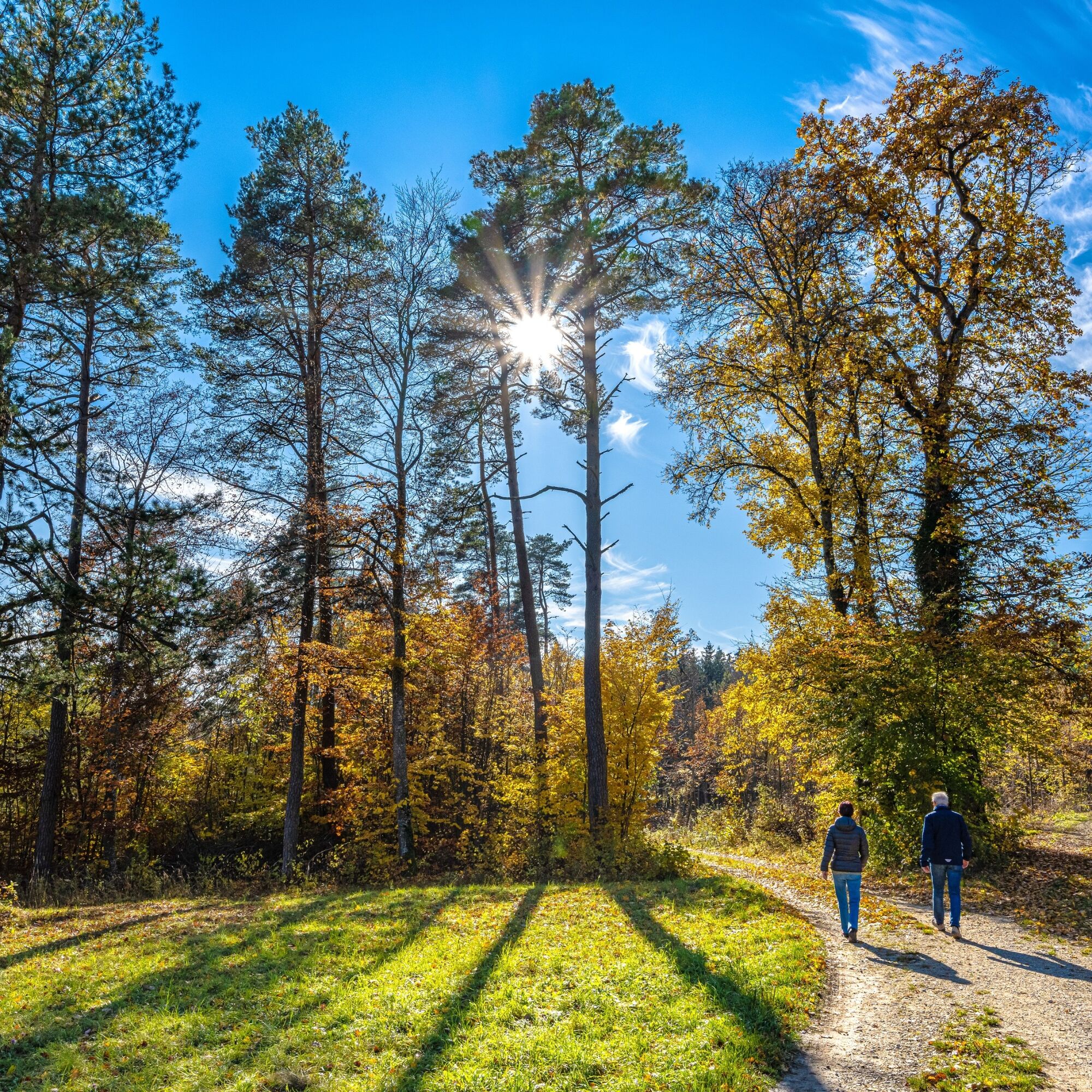
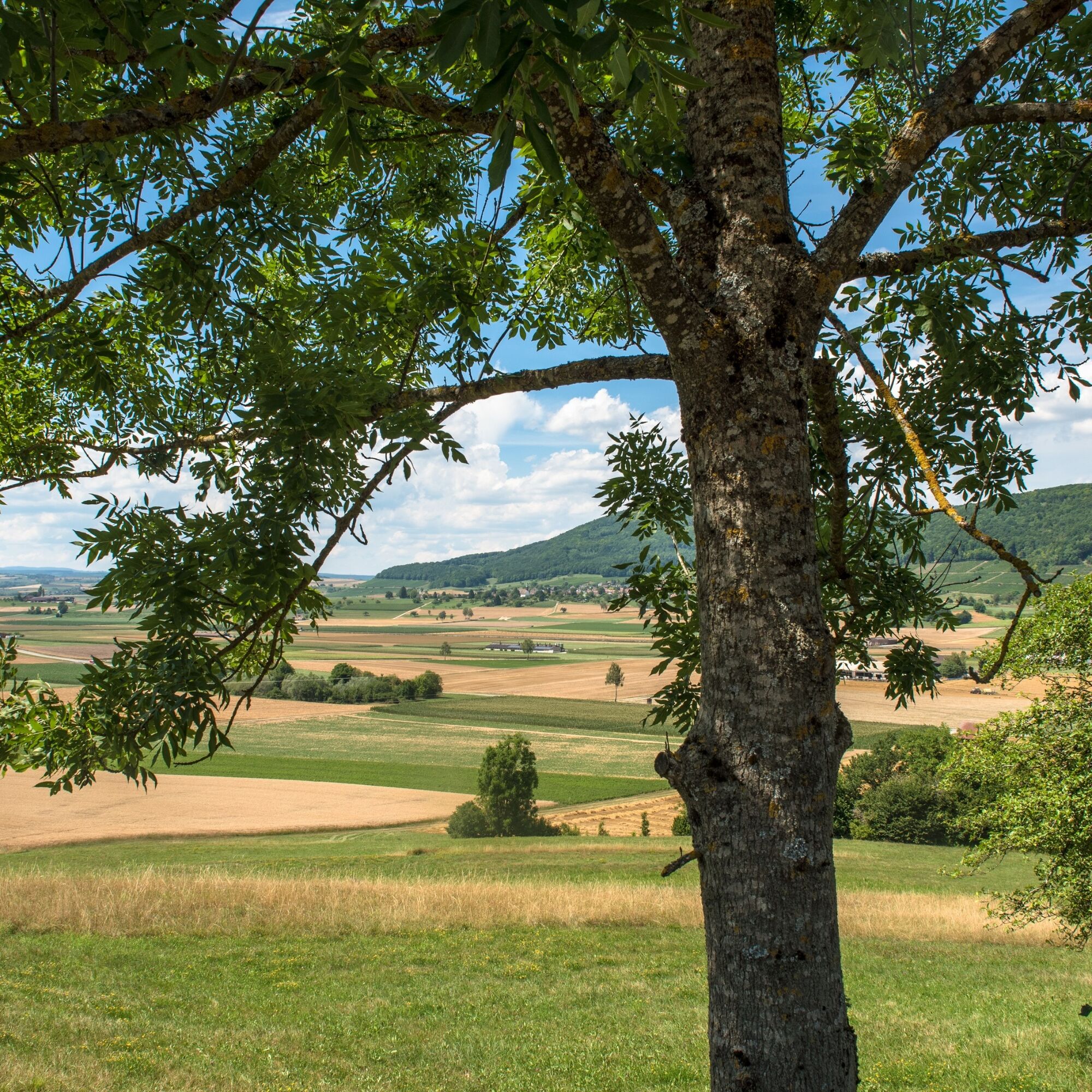
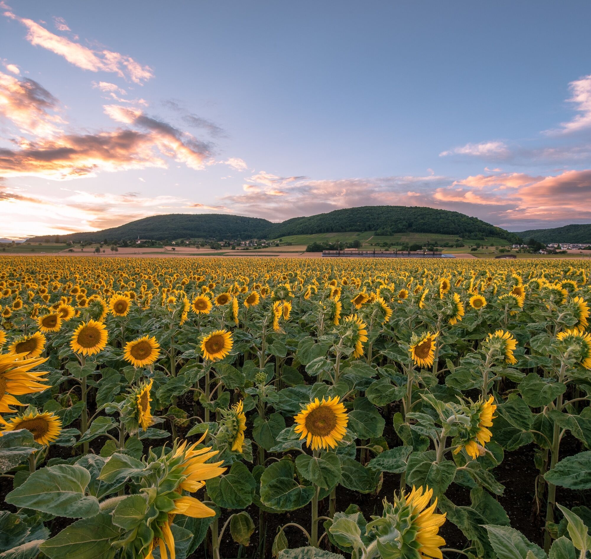
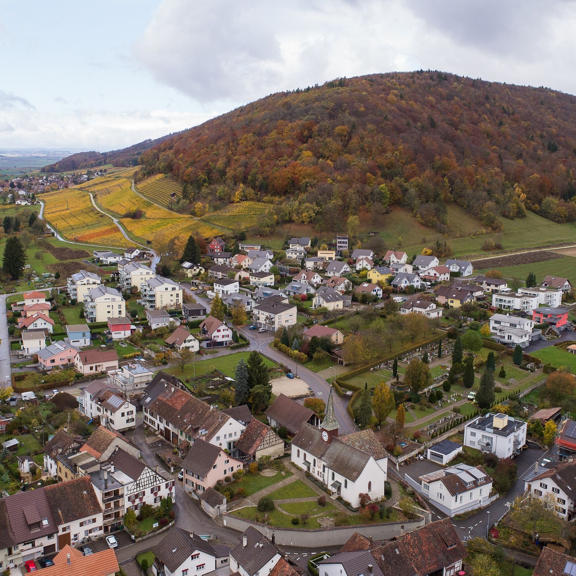
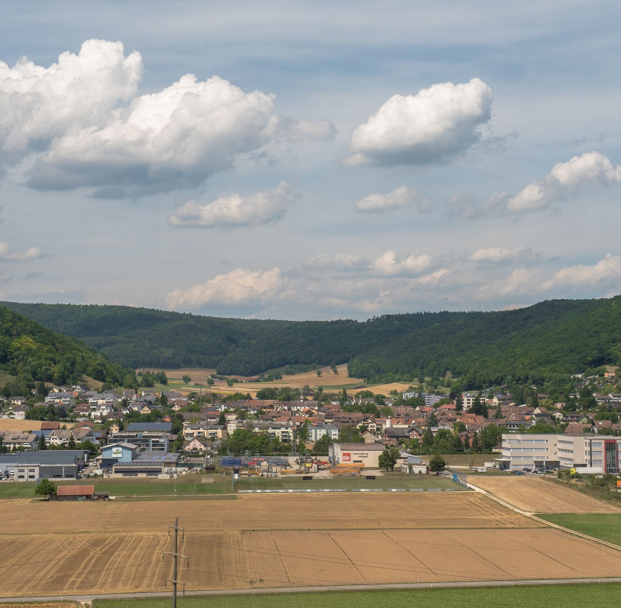

The starting point of the hike is the parking lot at the outdoor pool in Beringen. From the parking lot, we cross the street and go up Schützenweg. Where this path turns right, we go straight up the stairs, cross a path at the forest edge, and turn left 20 m further up at the next path (sign "Heuweg" towards "Blashalde-Hägliloo"). We now follow the yellow signs "hiking trail" or the yellow diamonds. After about 1.5 km, the hiking trail continues as a footpath going right uphill along the forest edge. We ascend into the forest and after about 50 m are directed left by the yellow diamond. We continue level to the forest edge and then follow the partially gravelled forest road to the right uphill. At the top of the forest corner, we go straight up the forest path (do not take the gravelled path to the left). Further up, we come back to a paved path. On the right at the post are the yellow signs that continue to lead us towards "Blashalde-Hägliloo". On the gravelled path, we turn left at the end of the forest towards "Hägliloo". We pass the Hägliloo farm to the next forest edge, where our hiking sign first points left and after about 50 m right. On a path marked exemplary with yellow diamonds, we steadily climb uphill in the forest. Further up, we continue along the forest edge and at the forest corner follow the sign "Staufenberg-Löhningen" to the left. We continue along the forest edge and come to a hut with the inscription "Satus Neuhausen". We leave the hut with barbecue site on the right and continue following our hiking trail sign or the yellow diamond. The path leads slightly downhill and we come to a beautiful barbecue area with a shelter further on. From here, we follow the wooden sign "Randenstag" steeply downhill. After a short time, we see a sign "Löhningen 35 Min." We descend steeply through a ravine on the marked hiking trail. Where after a temporary left turn at the forest end we meet an asphalted country lane, we cross it and continue on our hiking trail through the meadows downward. Immediately after the sports field, we turn left at a right angle and follow Lettenstrasse to the next intersection. There we continue straight along Haldenweg (in Löhningen there are various places to eat in the village, but after the stop, you must return to the sports field). Haldenweg is asphalted up to the height and continues through the vineyards as a gravelled path. We go downhill again and have the village of Beringen ahead. At the village entrance, the path is asphalted again, first sharply downhill to the right and after about 150 m sharply left again (see signs "hiking trail"). After a few meters, where the sign "hiking trail and bike path" leads down into the village, we leave the marked hiking trail and walk left past the sign "Zone 30" (Salon Uschi). After 3 or 4 houses, at the prohibited sign for motor vehicles, we take the gravelled path down to the right and see again our starting point, the parking lot at the sports grounds.
Good footwear, drinks and snacks for in between.
The route includes some ascents and descents.
Starting point: parking lot Naturbad Badi Beringen
Route planner
Arrival: Bus stop Beringen Sonne, then about 20 minutes on foot to the starting point parking lot Naturbad Badi Beringen.
Follow the "Outdoor Pool" signs.
Connection back to Schaffhausen: At least every half hour (by bus or train).
Sufficient parking spaces are available at the outdoor pool.
Beringer Randenturm, Beringen (The Beringer Randenturm is not on the route and is about 45 minutes from the starting point)
Outdoor Pool, Beringen

Webové kamery z prohlídky

Oblíbené prohlídky v okolí
- 4.7
Small Rheinfall Circular Route
světloTuristika 3.48 km - 4.8
Rundwanderweg Rheinau
světloTuristika 6.85 km Circular hike Schaffhausen - Rhine Falls - Schaffhausen
středníTuristika 10.0 km- 4.8
Flaach - Ellikon - Flaach
Turistika 12.0 km SwitzerlandMobility 896: Rhine Falls Circular Route
středníTuristika 7.39 km- 4.5
Nature trail Merishausen: Brown route
středníTematická stezka 11.4 km - 4.5
SchweizMobil 593: Nordspitze Panoramaweg
středníTuristika 13.7 km - 4.2
Genießerpfad Sauschwänzle-Weg
středníTuristika 12.5 km - 4.0
Stein am Rhein – Schaffhausen Round Trip
středníJízda na kole 39.7 km - 5.0
Hegau Waterfall Route
středníTuristika 9.28 km
Pěší turistika a stopování


Nenechte si ujít nabídky a inspiraci pro vaši příští dovolenou
Vaše e-mailová adresa byl přidán do poštovního seznamu.





