


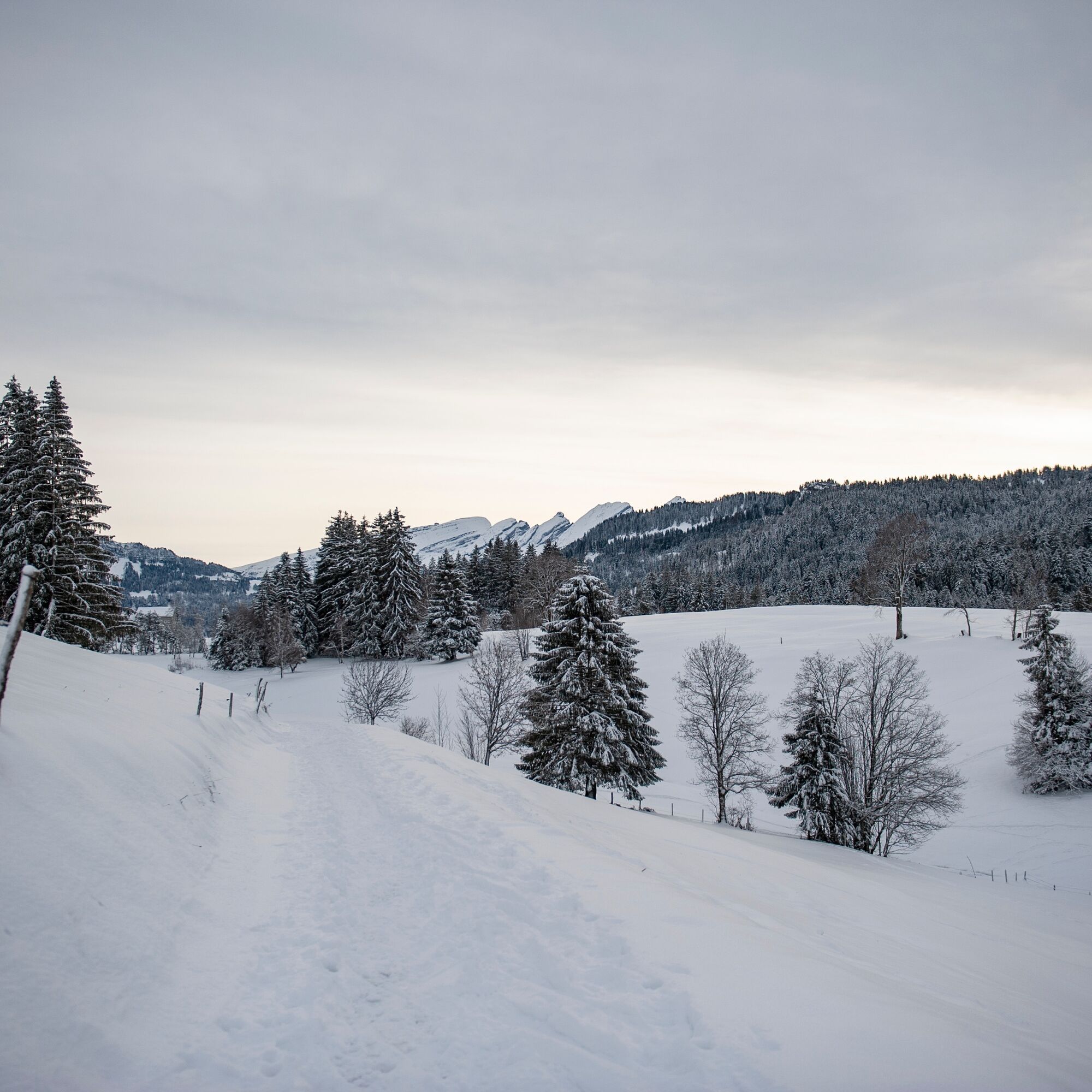
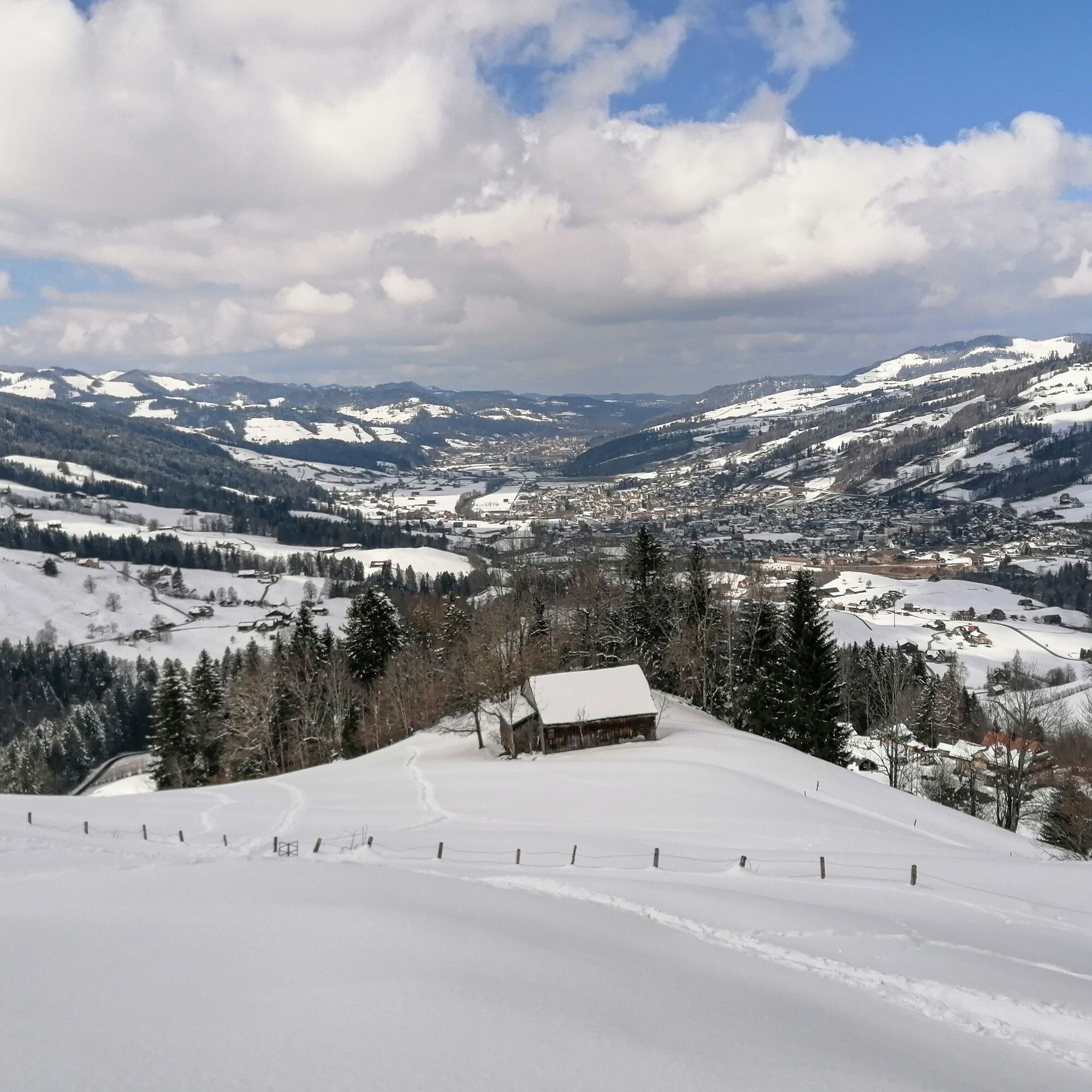
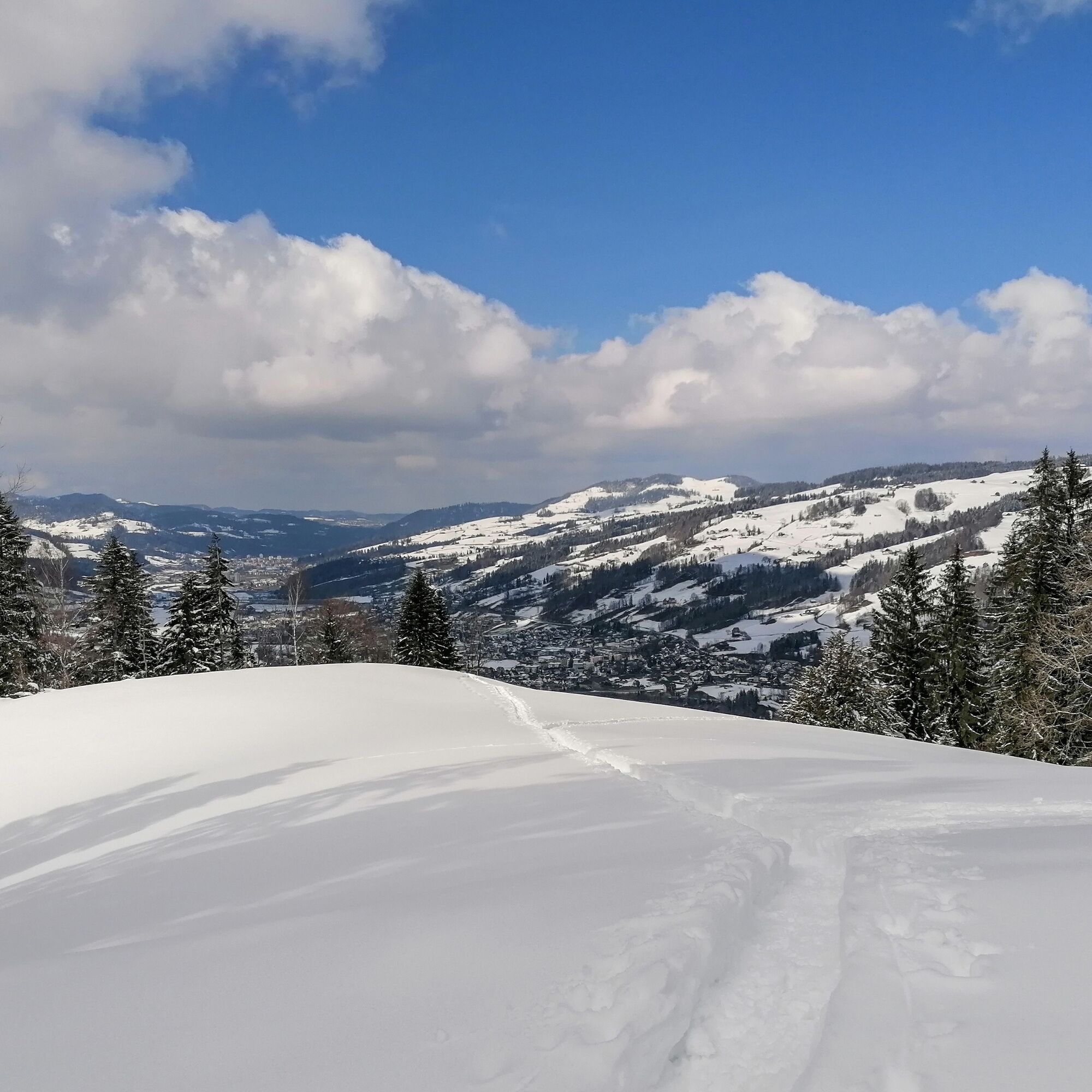
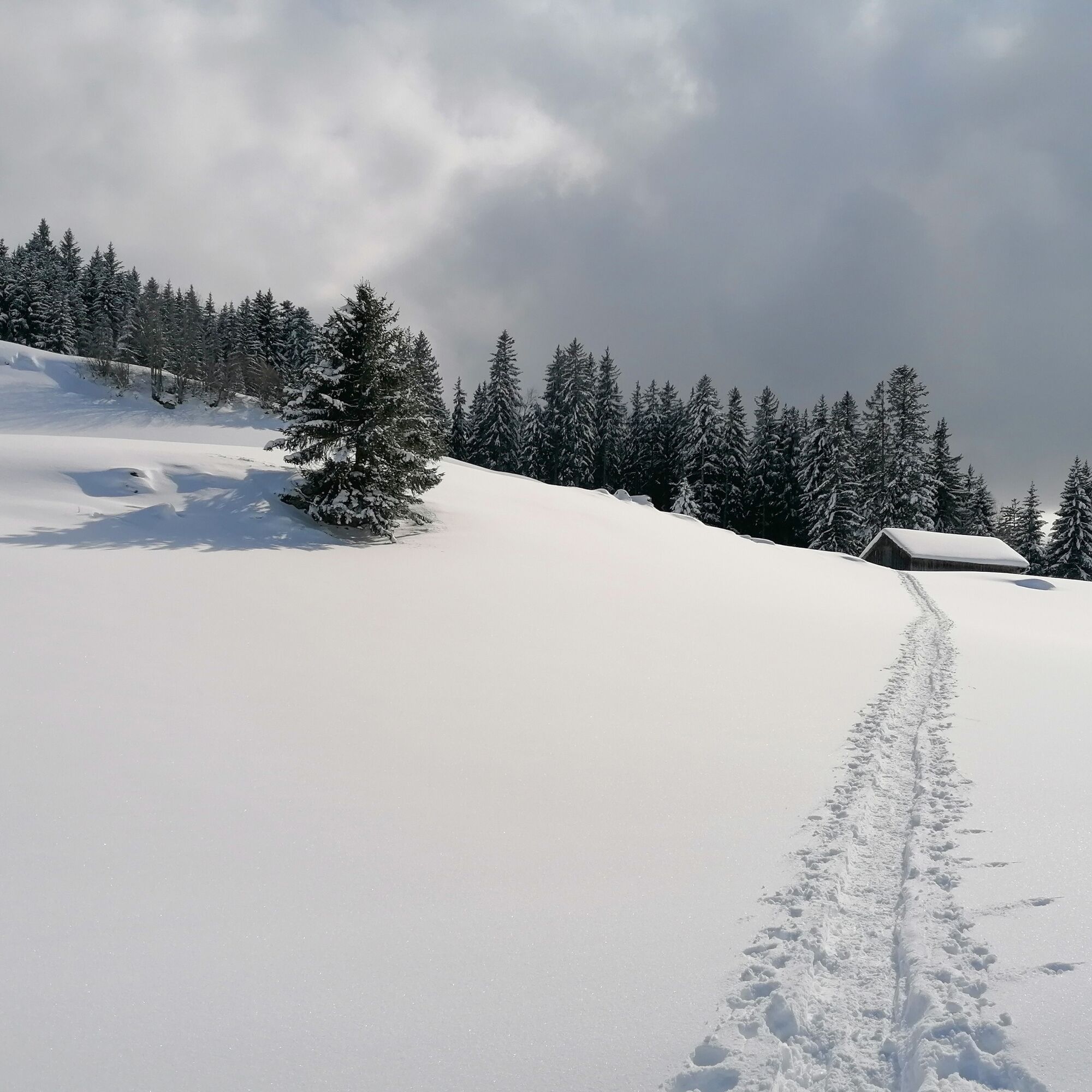
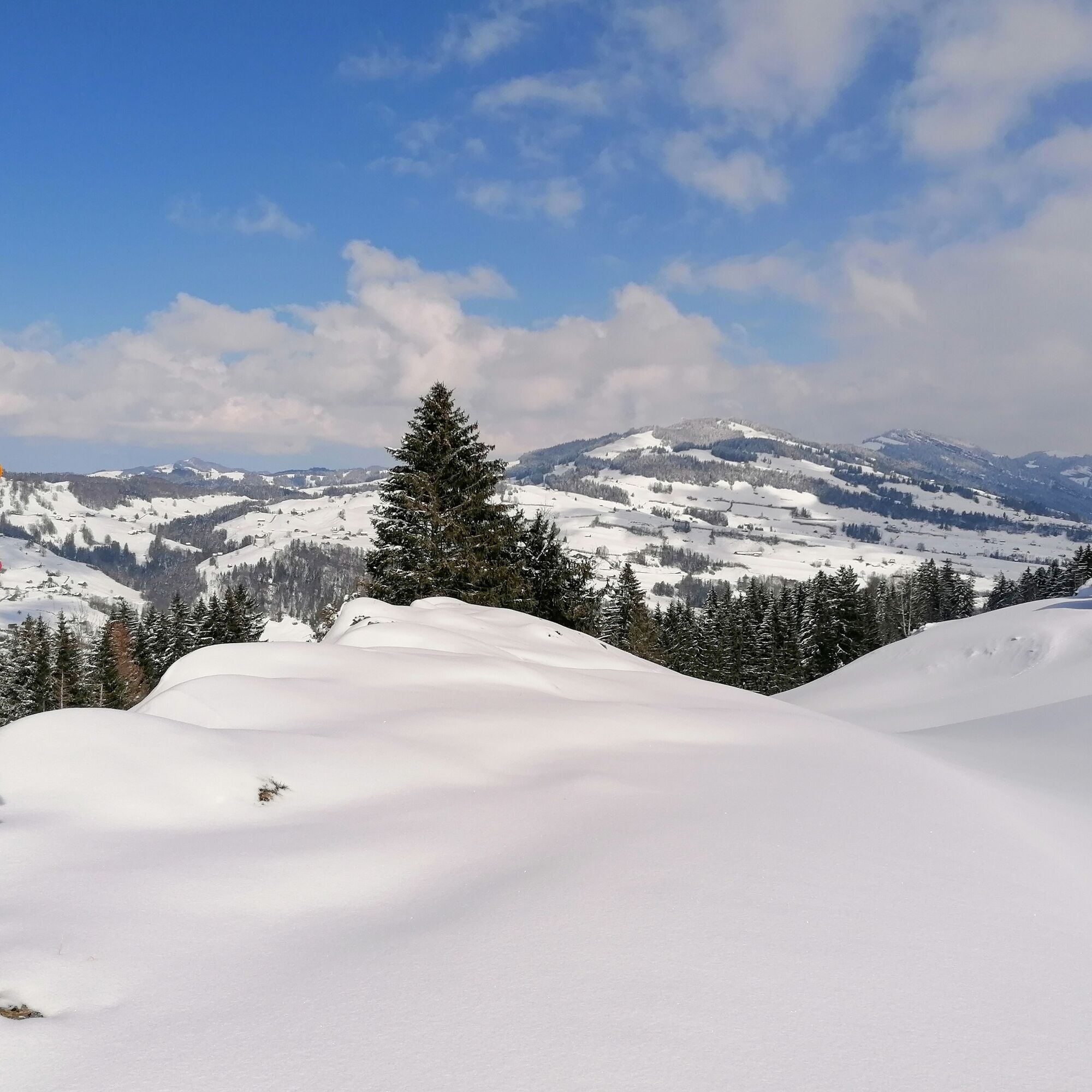
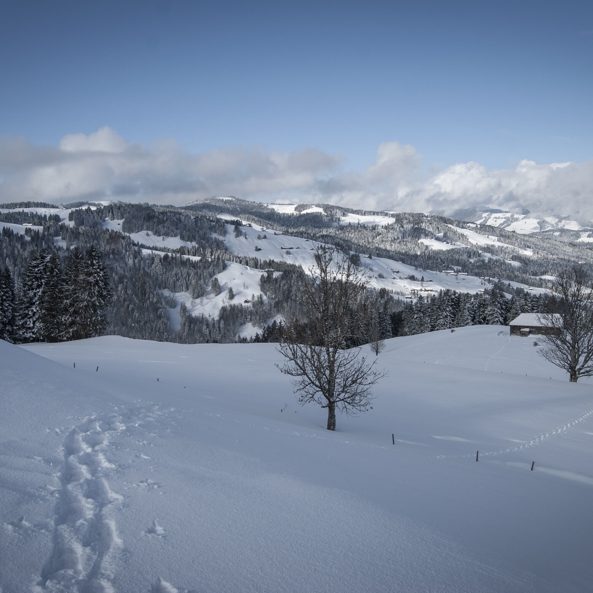
Snowshoe route from Wolzenalp to Ebnat-Kappel
From the mountain station, the path leads to Alp Ell and further past the Schandwald forest. It then continues to the village of Ebnat-Kappel, where new energy can be gained with a hot chocolate.

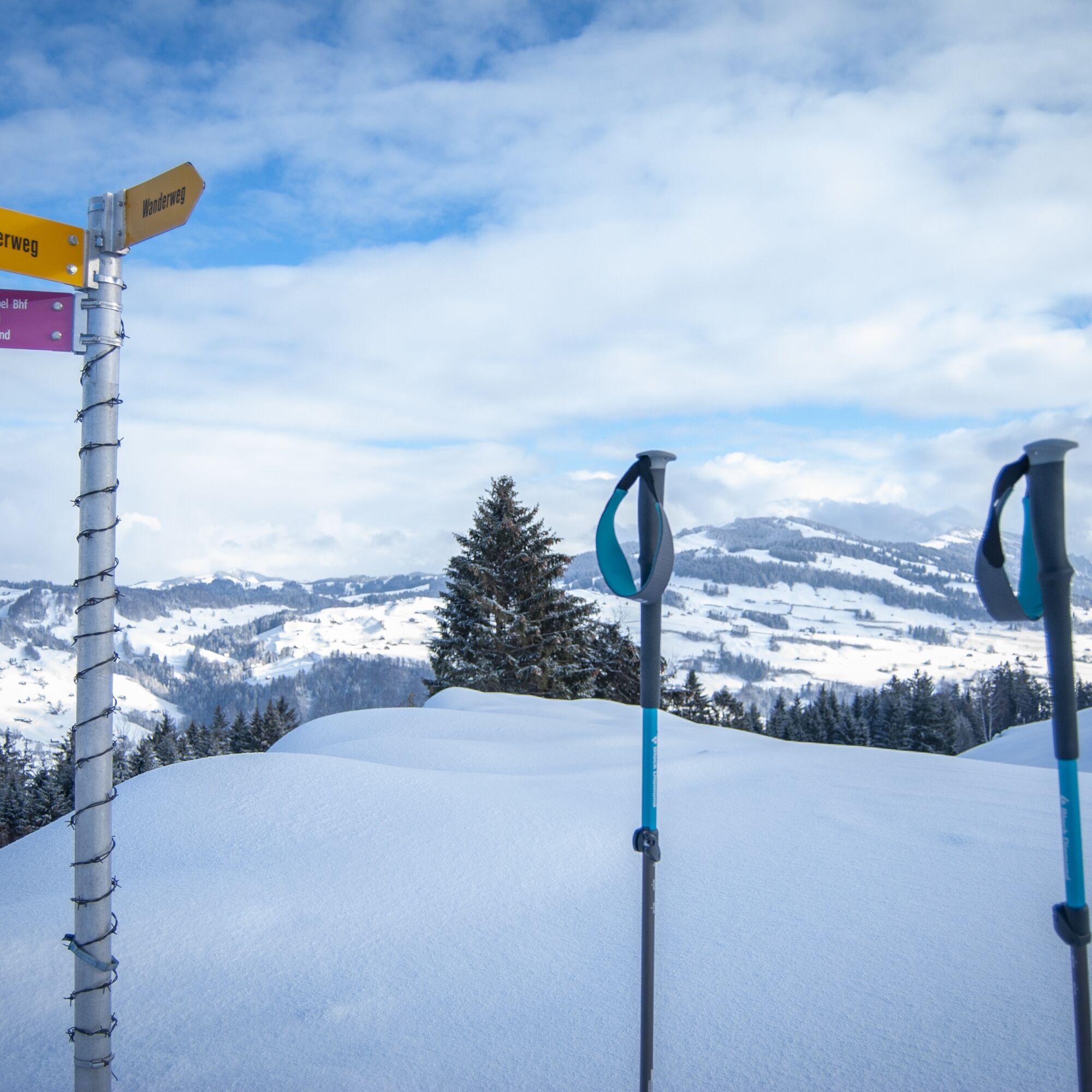
Snowshoes, telescopic poles with large baskets, avalanche equipment with transceiver, avalanche probe, and avalanche shovel, day hiking backpack (approx. 30 liters) with rain cover, possibly with avalanche airbag, comfortable and waterproof winter boots or sturdy hiking boots that fit the bindings of the snowshoes, possibly gaiters, warm and hard-wearing clothing in layers, ski jacket and pants, hat / headband, scarf, gloves, possibly ski goggles, sun and rain protection, provisions and drinking water, thermos with hot drink, first aid kit, pocket knife, mobile phone, possibly headlamp and reflectors, maps, possibly bivy sack and emergency blanket.
The path is neither signposted nor secured. Use at your own risk.
Take the A3 at Reichenburg towards Rapperswil and then over the Ricken Pass to Wattwil. Then up the Toggenburg to Krummenau. From Eastern Switzerland:
From St. Gallen to Herisau and further over Wasserfluh to Lichtensteig. Or from St. Gallen to Wil, take the Toggenburg exit. Follow the main road to Krummenau. From the southern German region:
Via Bregenz and St. Margrethen on the A13 to Haag and take the exit towards Toggenburg/Wildhaus. Or via Konstanz to Wil, then take the Toggenburg exit and follow the main road to Krummenau.
By train to Wattwil and then onwards to Krummenau station.
From the Rhine Valley by train to Buchs SG station and then by bus to Nesslau Neu St. Johann station. From there again by train one stop to Krummenau.
From the Kanstonsstrasse exit, the way to the large car park is signposted.
Toggenburg Tourism
Hauptstrasse 104
9658 Wildhaus
+41 71 999 99 11
Oblíbené prohlídky v okolí
- 4.8
Walensee Riviera Weesen - Quinten
středníTuristika 10.2 km - 4.6
Weesen - Quinten - Walenstadt
heavyTuristika 20.6 km - 4.6
Schwägalp - Berggasthaus Tierwies - Girenspitz - Säntis
heavyTuristika 4.83 km - 4.6
Amden - Speer (Rundkurs)
světloTuristika 17.6 km - 3.8
Seerenbach waterfalls
světloTuristika 4.38 km - 4.9
Kronberg - Schwaegalp
světloTuristika 5.90 km - 4.5
Winter hiking Wintersagenweg Toggenburg
středníZimní turistika 8.72 km - 4.9
Arvenbüel - Egg - Alp Looch - Leistchamm
středníTuristika 11.4 km - 5.0
Snowshoe route from Sellamatt to the Zinggen pub via Mittelstofel
středníSněžnice 4.89 km - 5.0
Ski tour on the Selun
heavyLyžařská trasa 11.8 km
Pěší turistika a stopování


Nenechte si ujít nabídky a inspiraci pro vaši příští dovolenou
Vaše e-mailová adresa byl přidán do poštovního seznamu.