


Winter hiking Wintersagenweg Toggenburg
Úroveň obtížnosti: 1
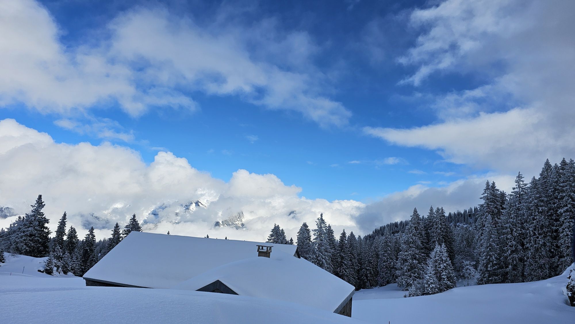

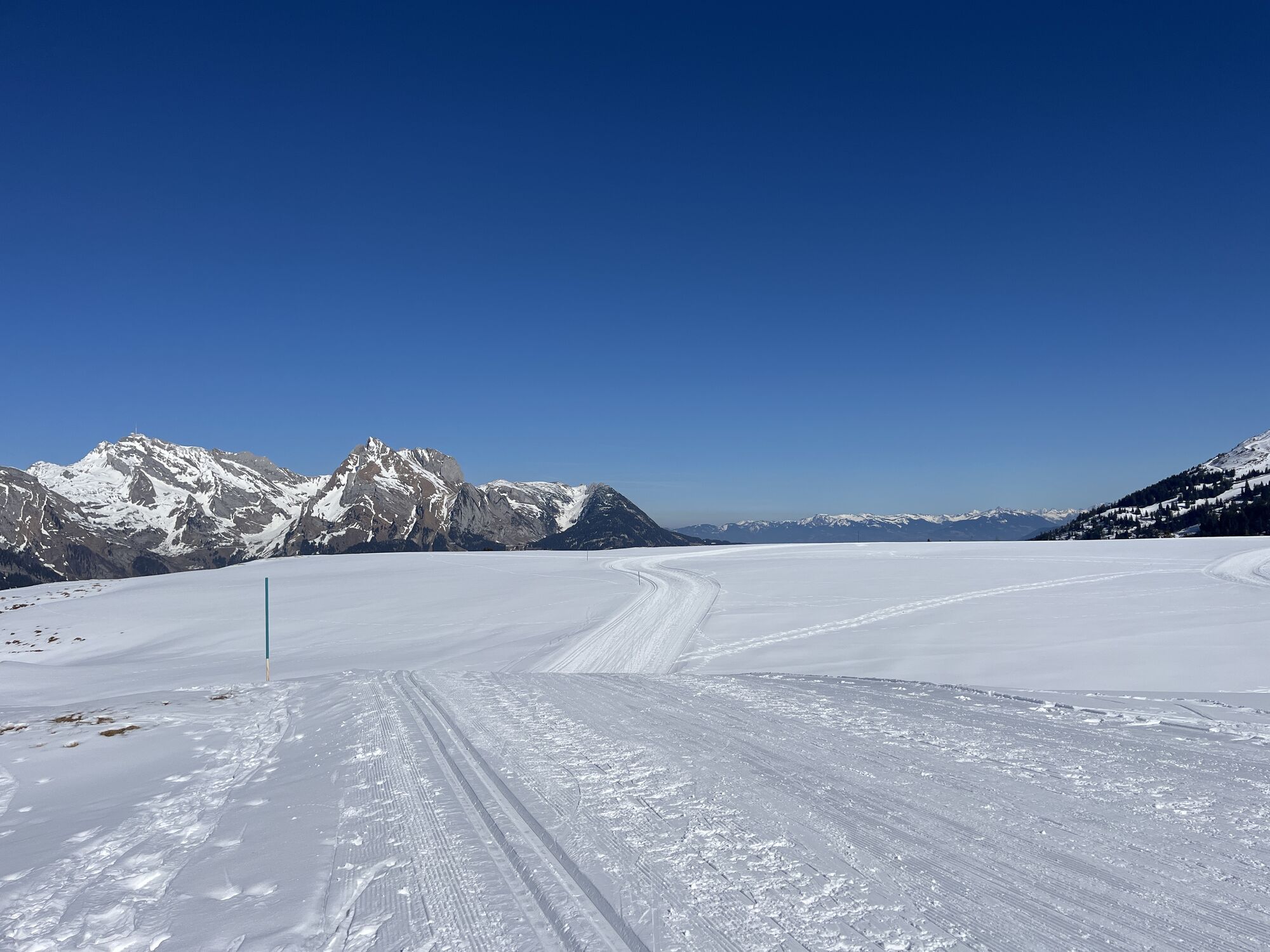
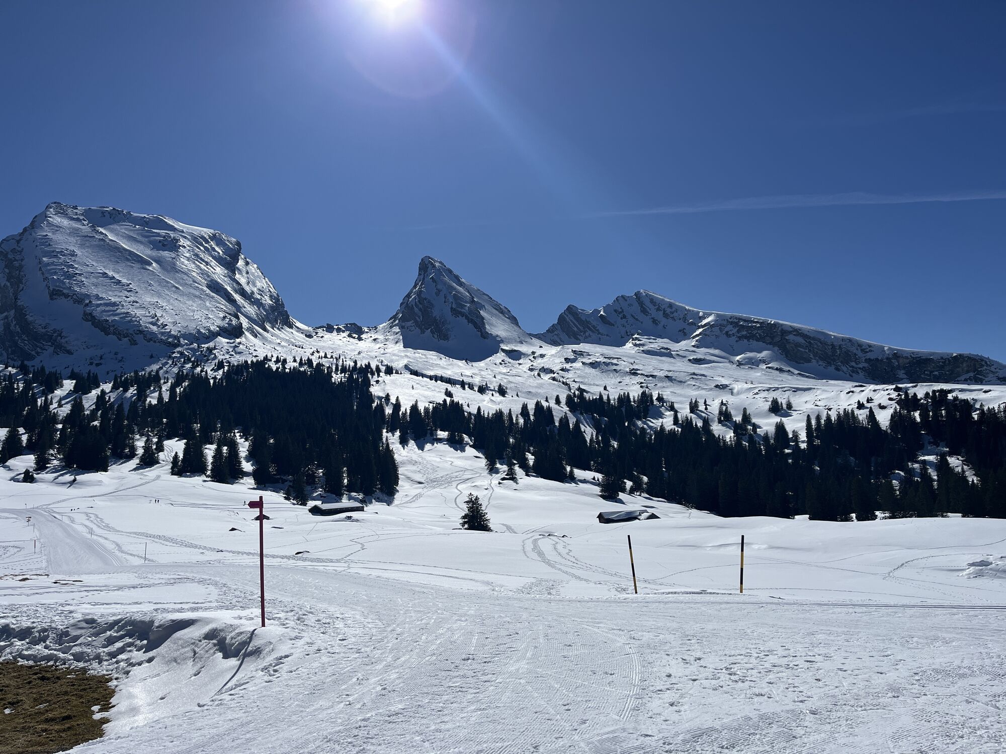
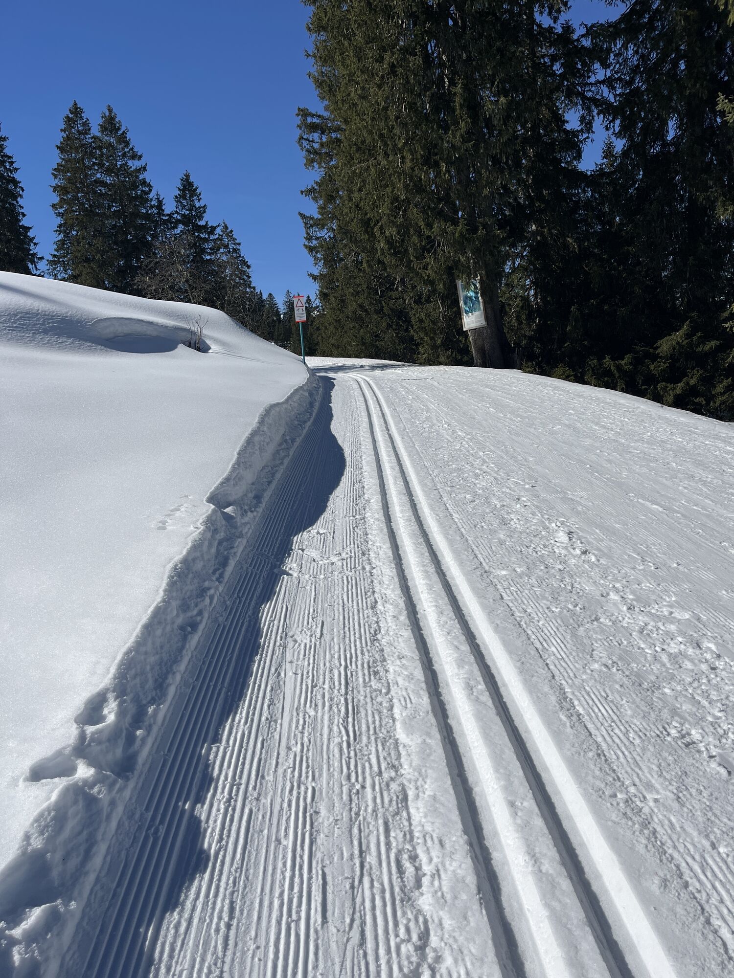
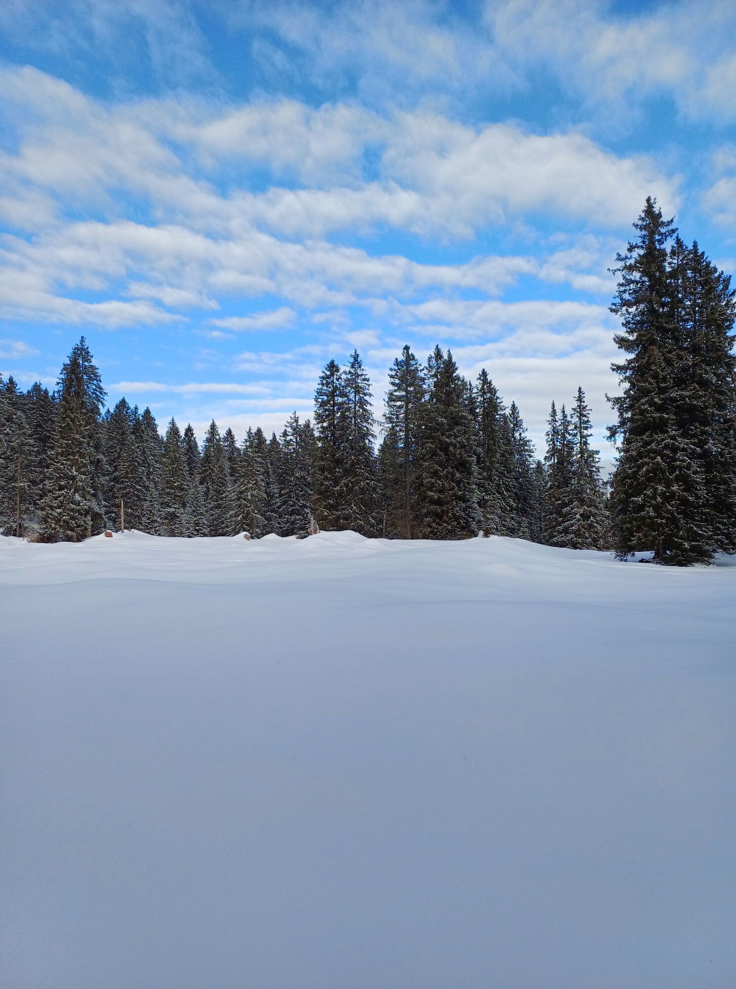
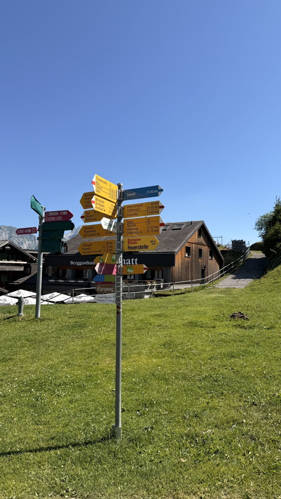
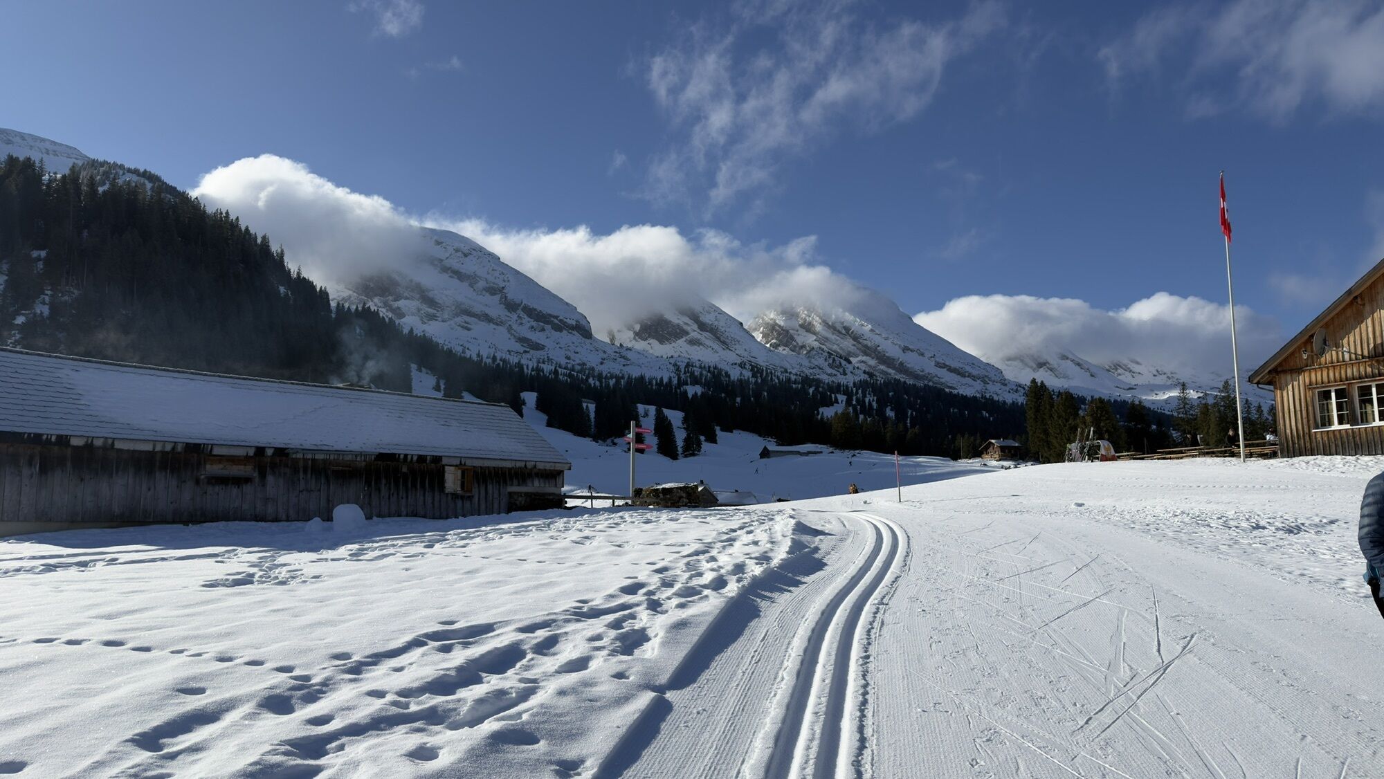
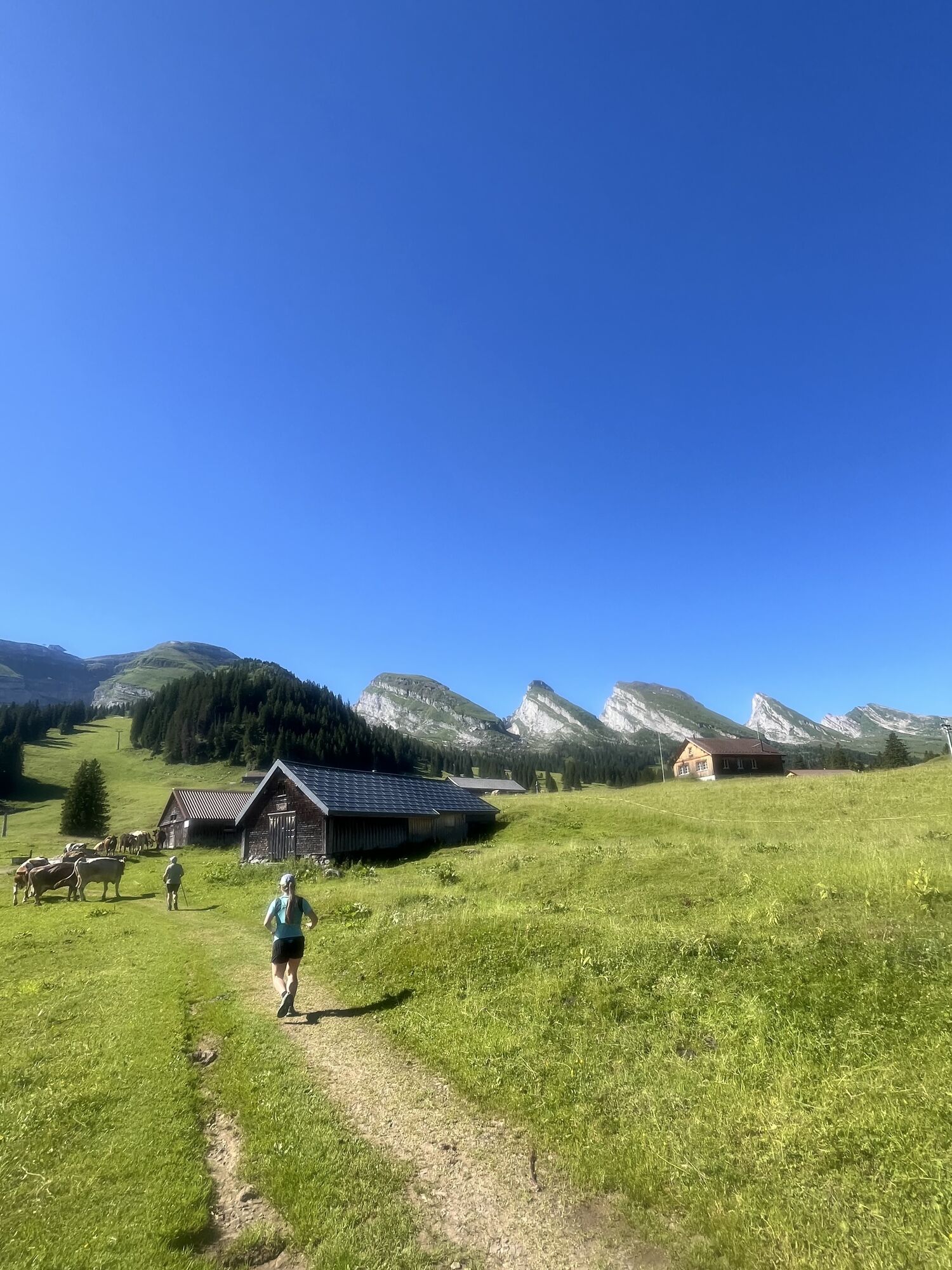
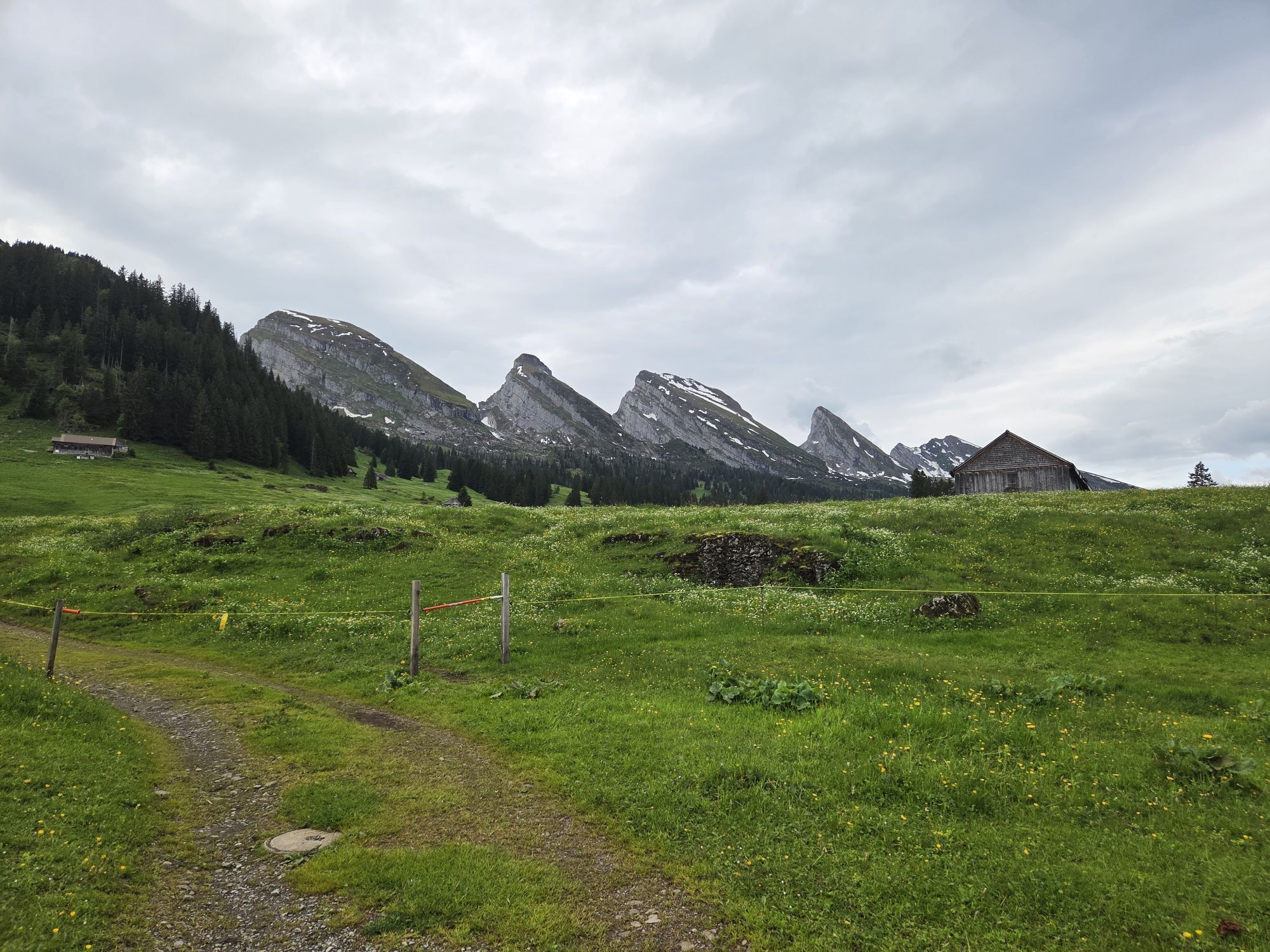
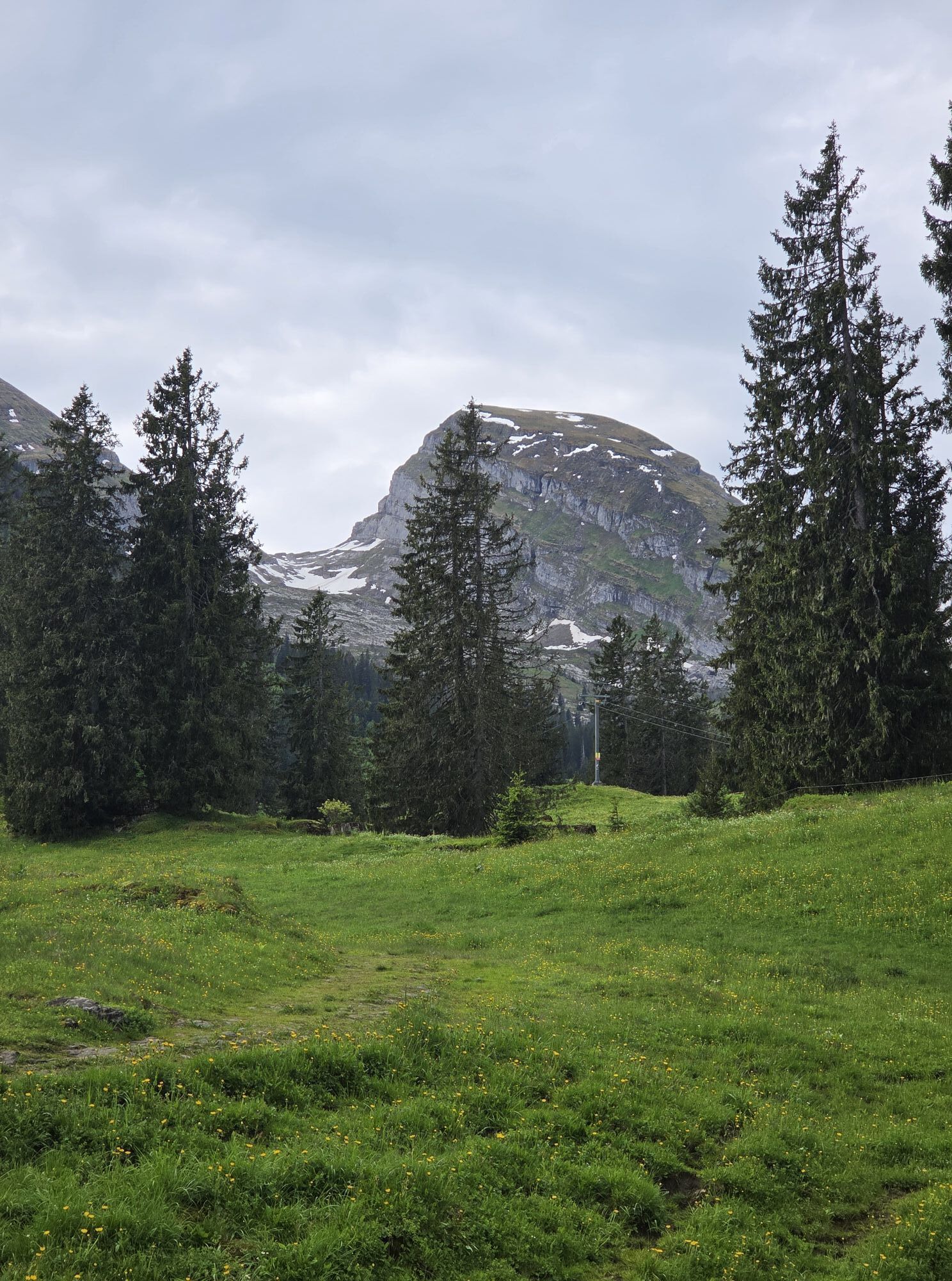
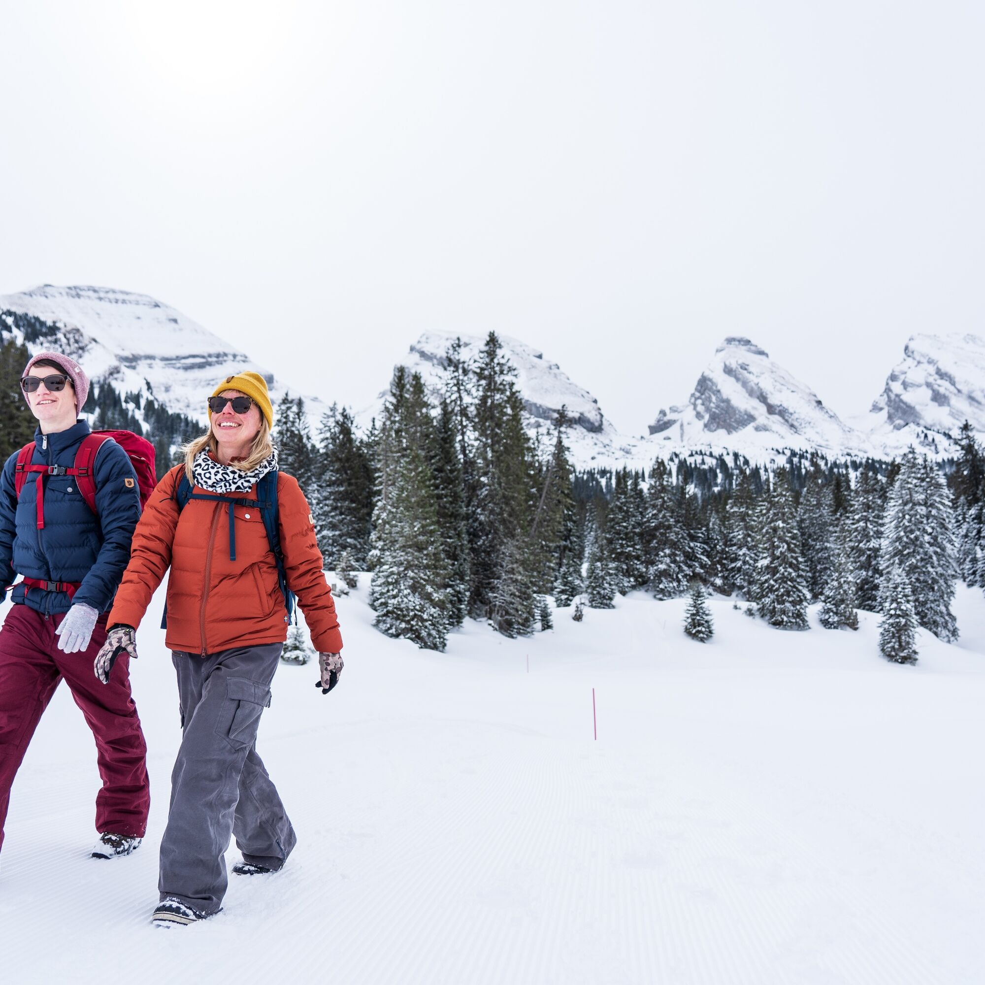
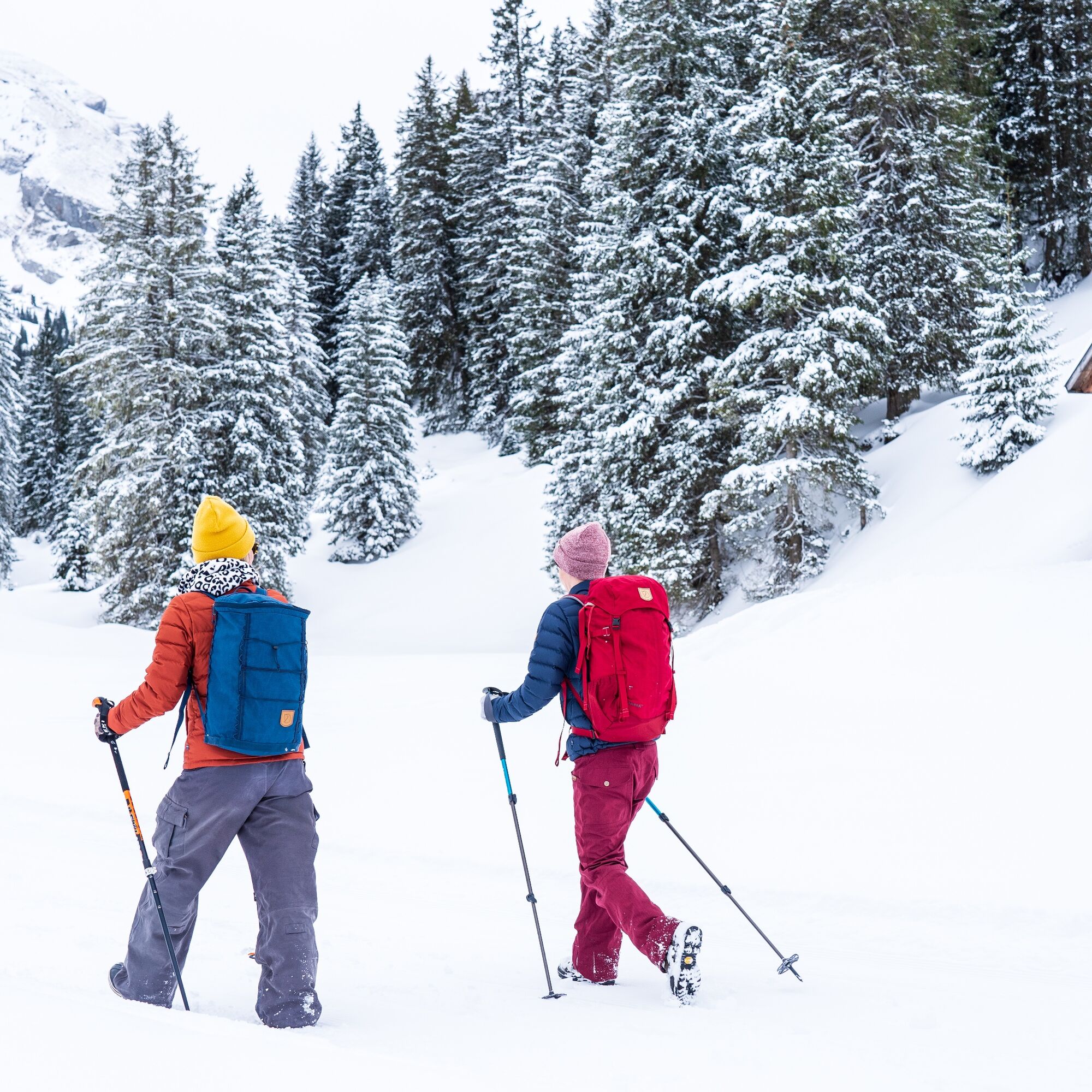
From Alt St. Johann, take the combined 4-seater gondola/chairlift to Alp Sellamatt. Then follow the marked winter hiking trail to Zinggen. Afterwards, a wonderful hike awaits you on the Sagenweg (high-level...
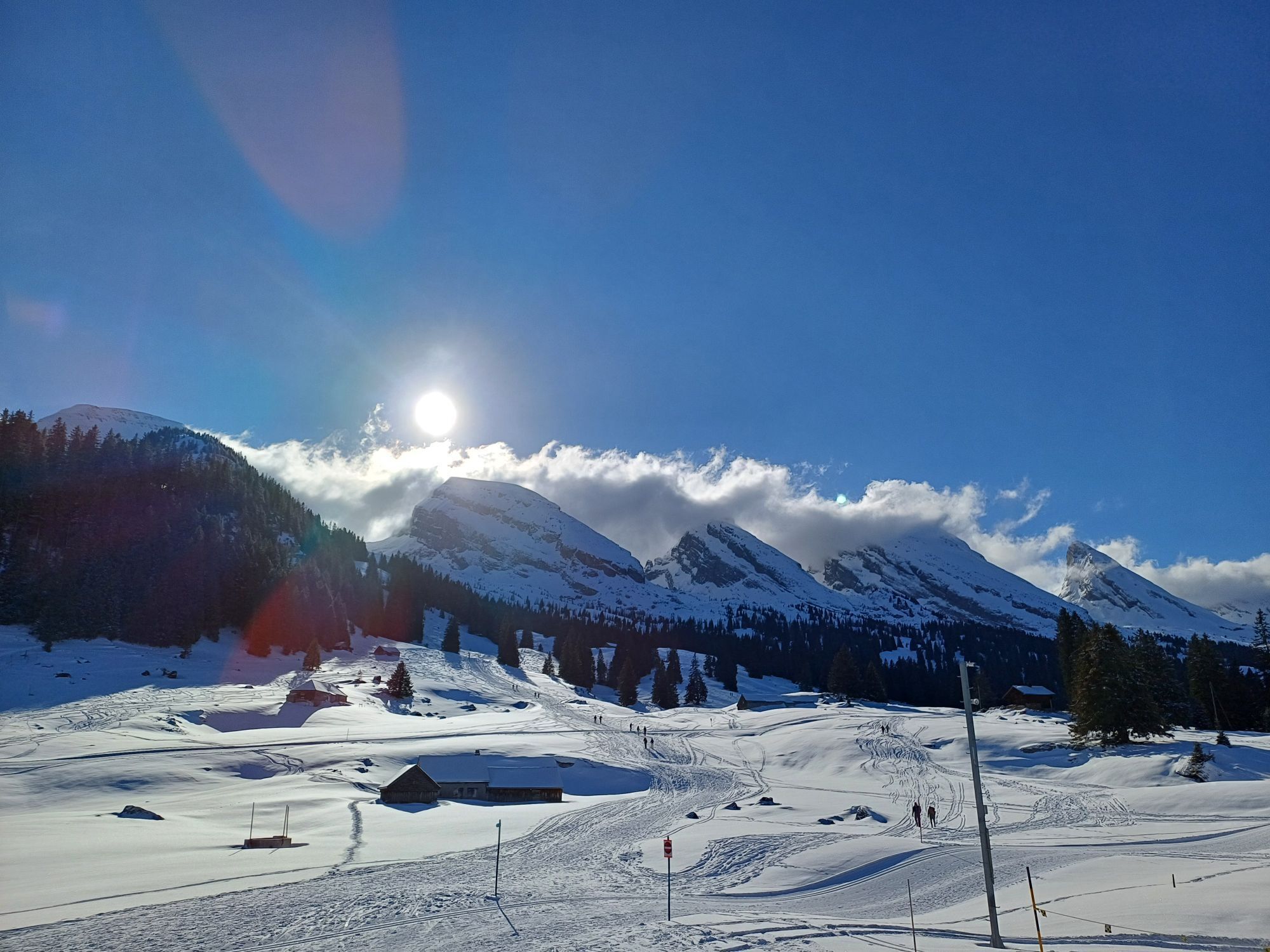
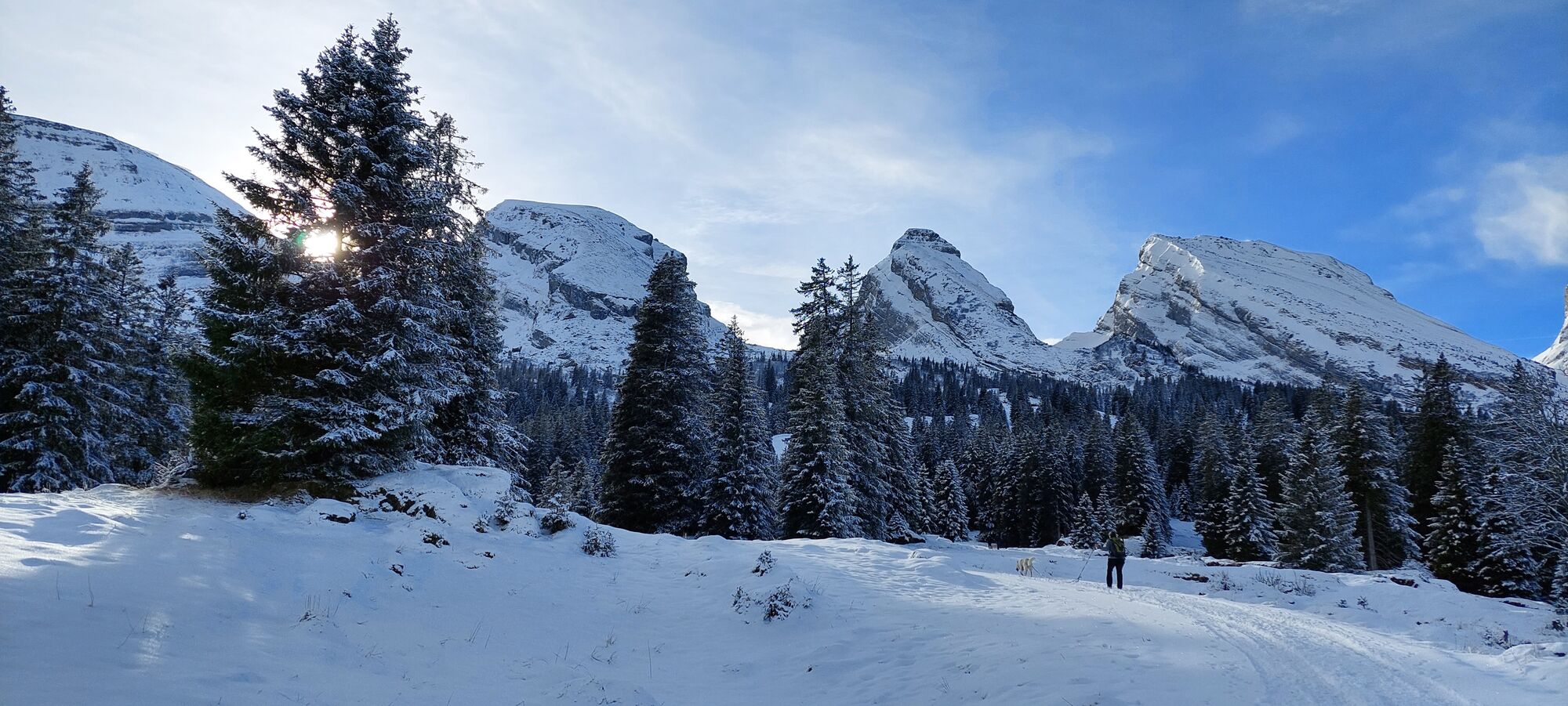
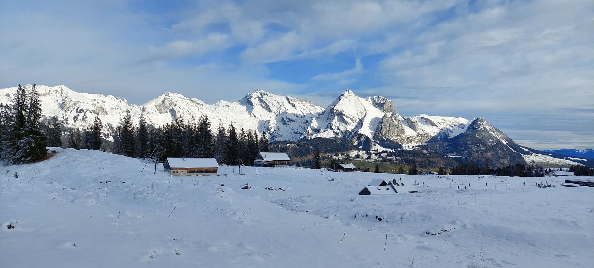
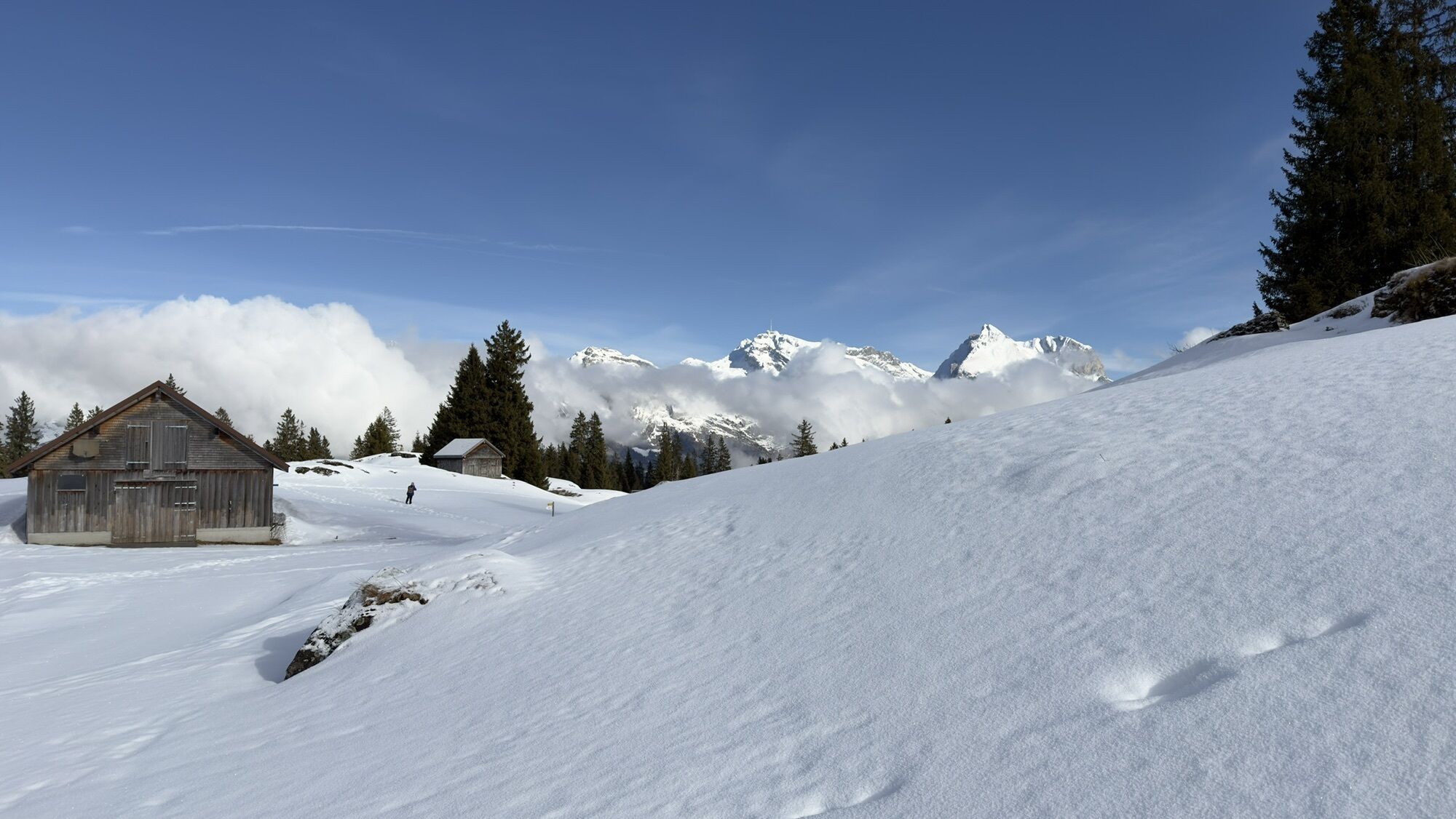
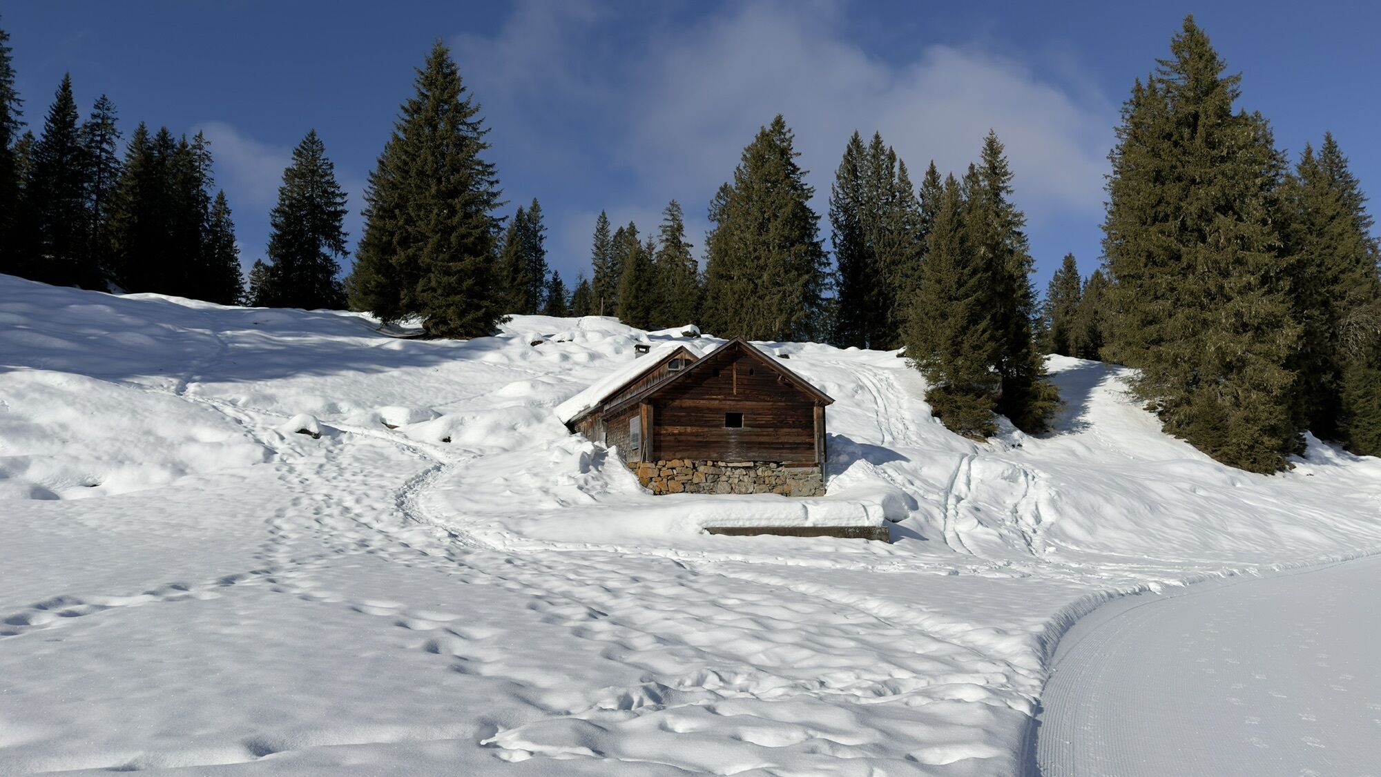
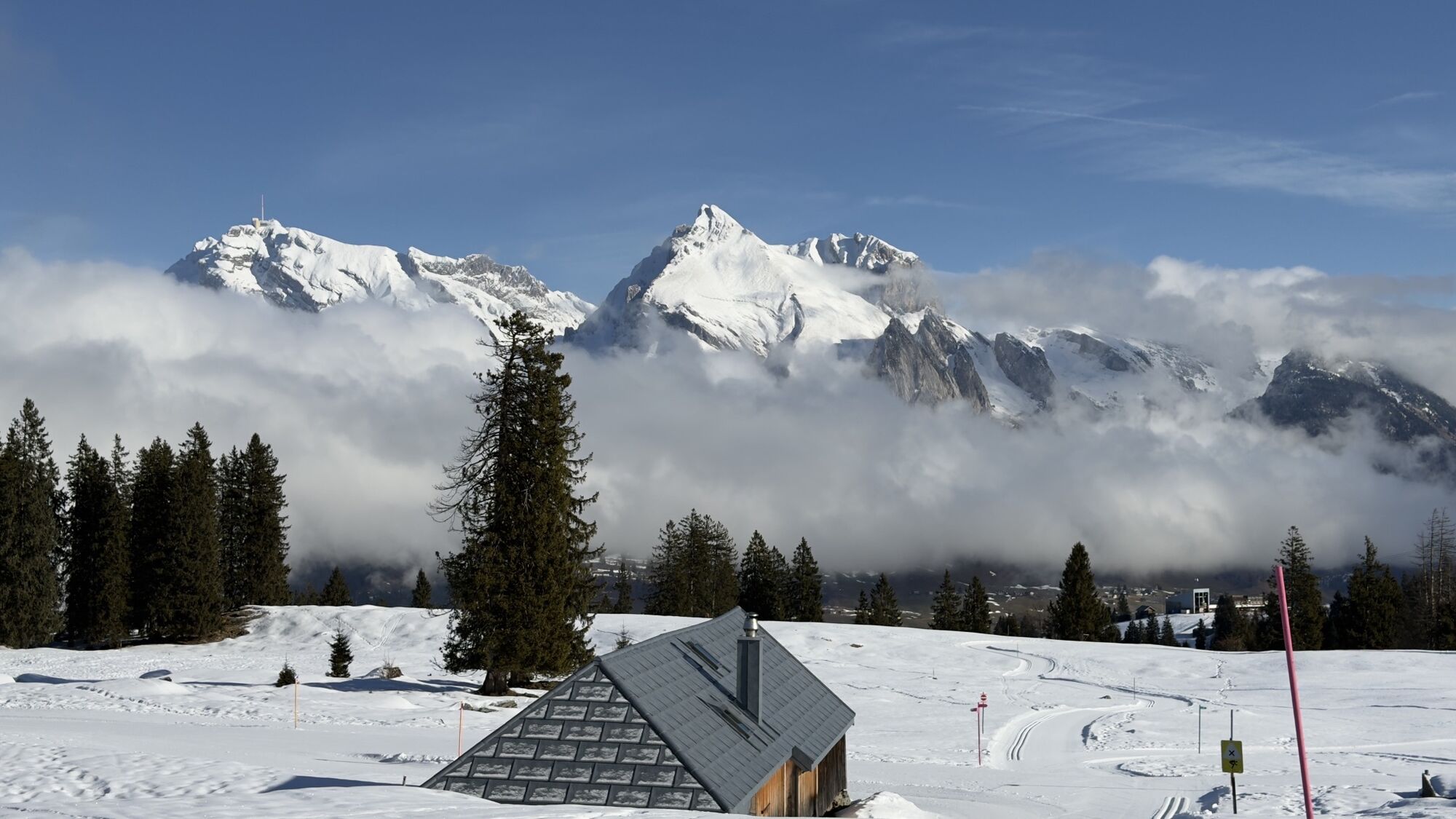
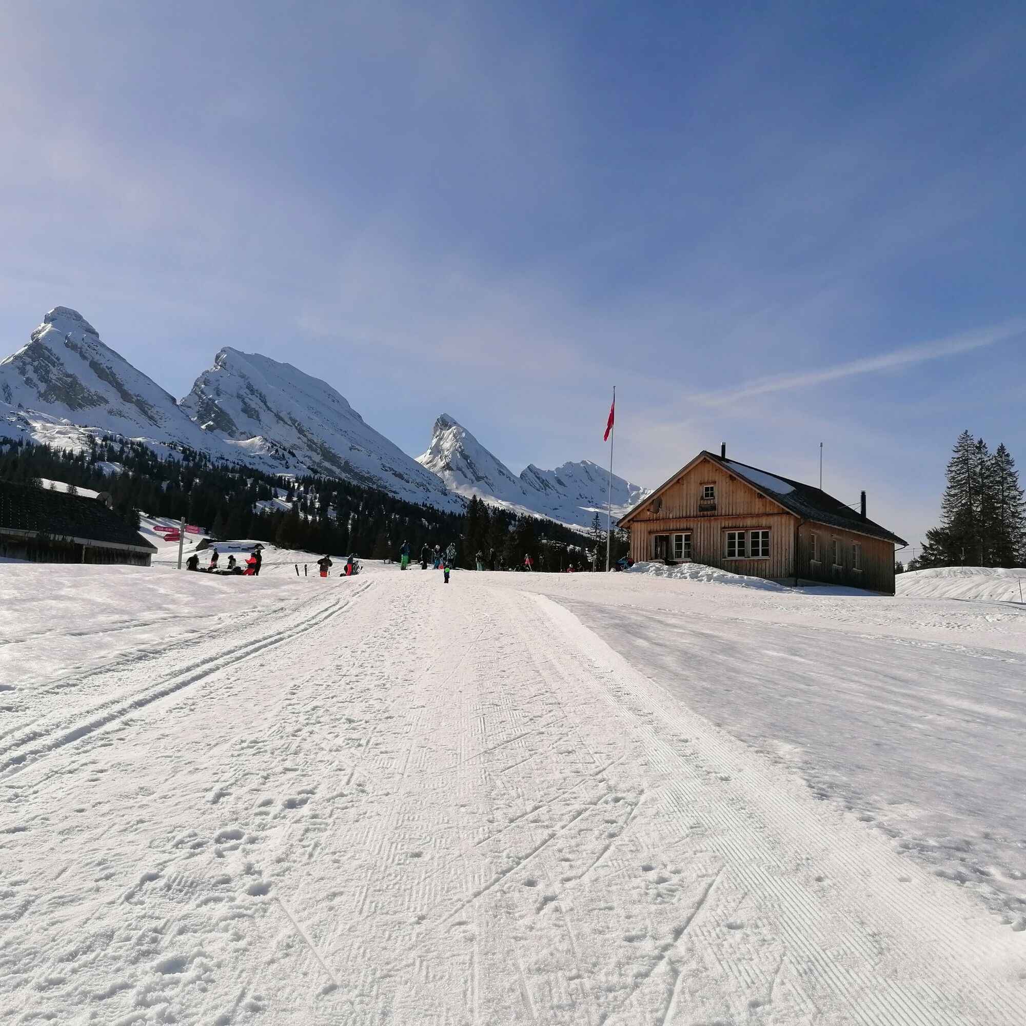
From Alt St. Johann, take the combined 4-seater gondola/chairlift to Alp Sellamatt. Then follow the marked winter hiking trail to Zinggen. Afterwards, a wonderful hike awaits you on the Sagenweg (high-level path) up to Thurtalerstofel. Return at the foot of the Churfirsten to Zinggen and on to Iltios. There, the Iltios mountain restaurant awaits to pamper you culinary and the funicular will take you back down to Unterwasser village.


Although the Thurtalerstofel loop is definitely worthwhile, the route can also be done directly from the Sellamatt mountain station to Iltios or vice versa (duration approx. 1.5h).
Ano
Ano
Day hiking backpack (approx. 20 liters) with rain cover, comfortable and waterproof winter shoes or sturdy hiking boots, optionally crampons and gaiters, warm and weatherproof clothing in layers, hat / headband, scarf, gloves, sun and rain protection, provisions and drinking water, thermos flask with hot drink, first aid kit, pocket knife, mobile phone, optionally headlamp, map material, optionally telescopic poles
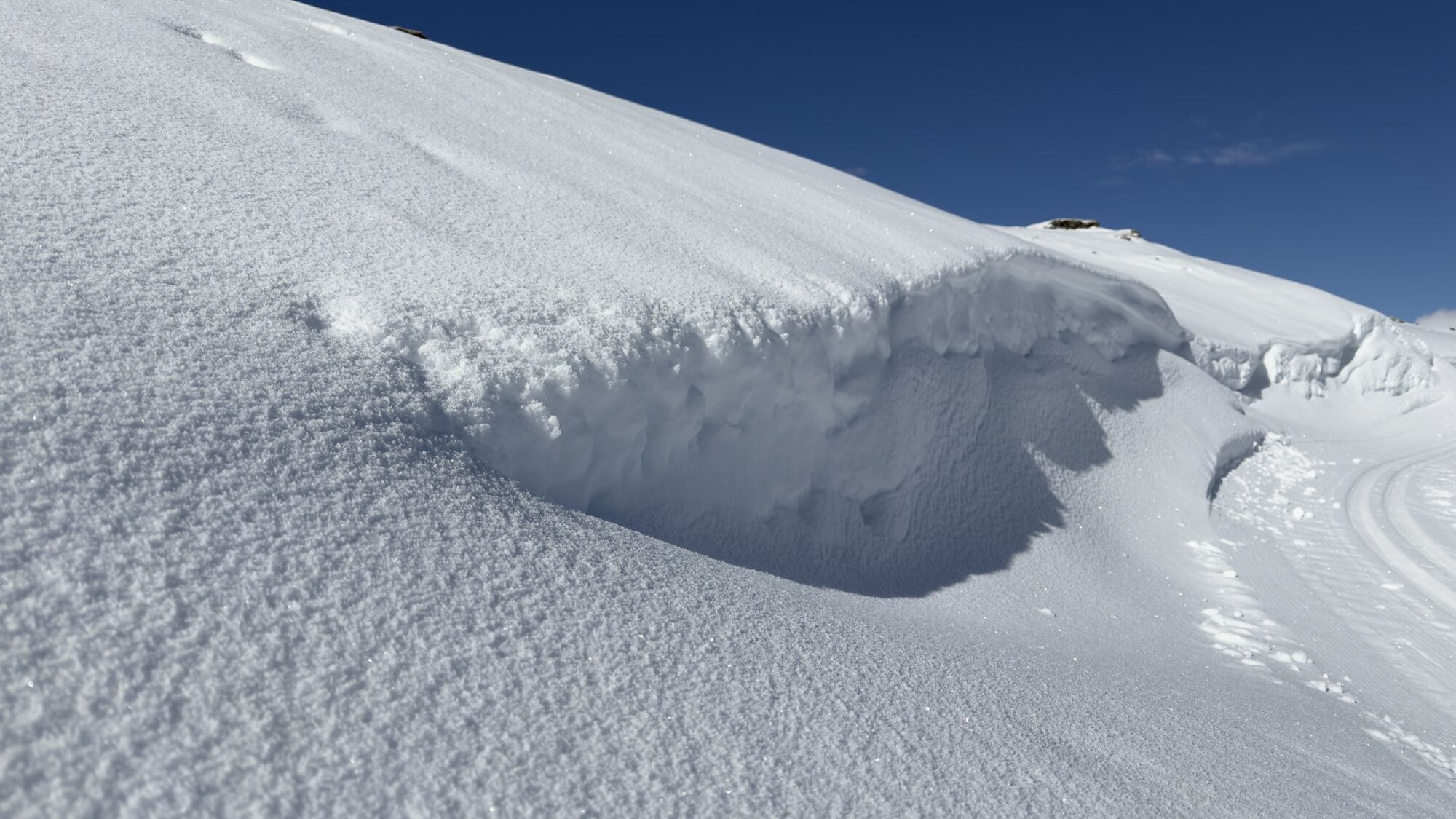
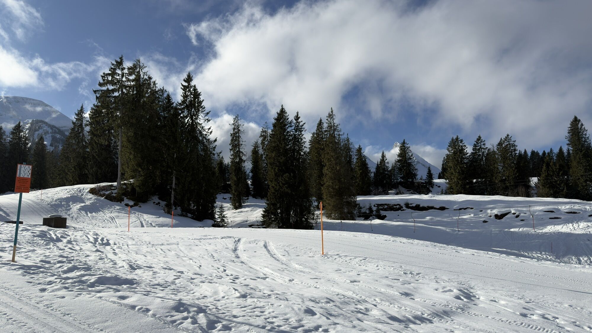
Please keep dogs on a leash. There are wildlife protection zones adjacent to the winter hiking trail
Take the A3 at Reichenburg towards Rapperswil and then over the Rickenpass to Wattwil. Then up through Toggenburg to Alt St. Johann. From Eastern Switzerland:
From St. Gallen to Herisau and further over the Wasserfluh to Lichtensteig. Or from St. Gallen to Wil, take the Toggenburg exit. Follow the main road to Alt St. Johann. From the South German region:
Via Bregenz and St. Margrethen on the A13 to Haag and take the exit towards Toggenburg/Wildhaus. Or via Konstanz to Wil, then take the Toggenburg exit and follow the main road to Alt St. Johann.
By train to Nesslau Neu St. Johann station and then by bus to Alt St. Johann village.
From the Rhine Valley by train to Buchs SG station and then by bus to Alt St. Johann village.
Parking is available at the valley stations, Sellamattbahn in Alt St. Johann and funicular Iltios in Unterwasser.
1
You can find the operating hours of the mountain railways here.
Toggenburg Tourism
Hauptstrasse 104
9658 Wildhaus
+41 71 999 99 11
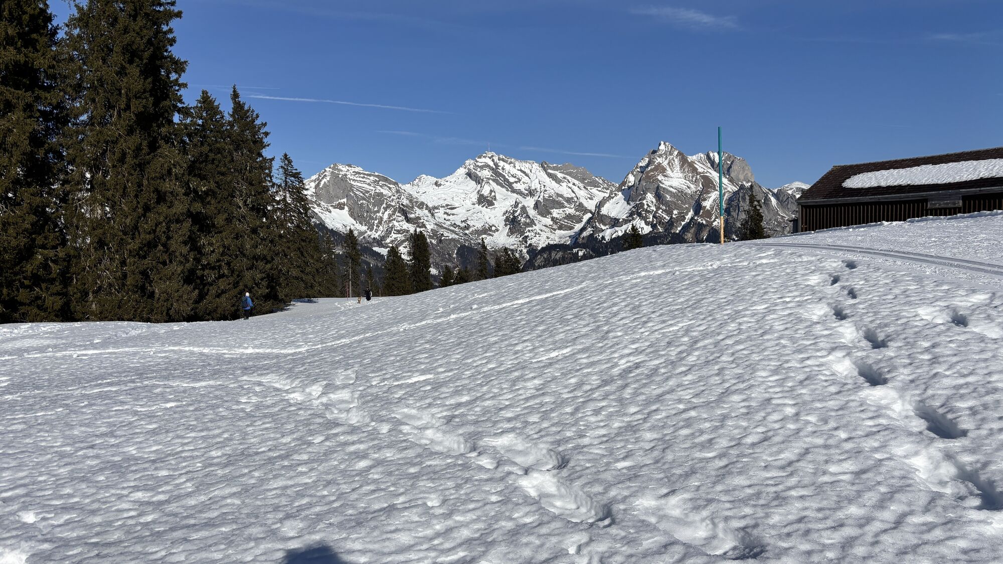
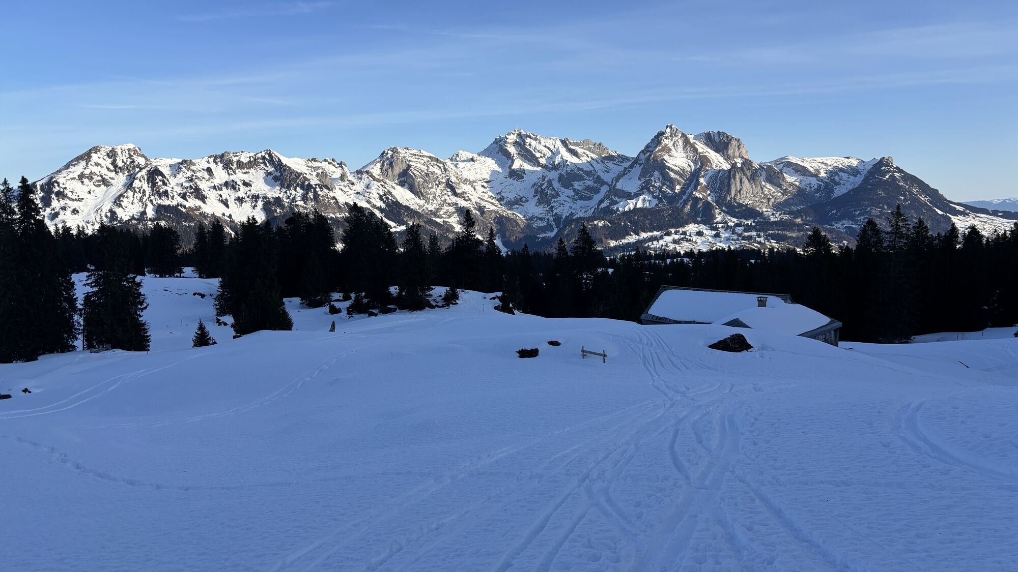
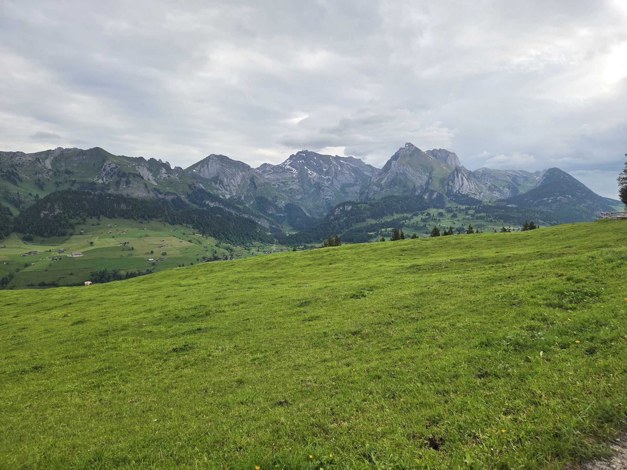
An extensive break on one of the sun terraces with a view of the Churfirsten.
Webové kamery z prohlídky
Oblíbené prohlídky v okolí
-
4.8
Walensee Riviera Weesen - Quinten
středníTuristika 10.2 km -
4.8
Riviera Lake Walen Walenstadt-Quinten
středníTuristika 10.4 km -
4.6
Weesen - Quinten - Walenstadt
heavyTuristika 20.6 km -
5.0
Staubern-Runde (15.8.2021)
středníTuristika 8.65 km -
4.9
Säntis-Gipfeltour, Wasserauen / Appenzell Innerrhoden
heavyTuristika 21.1 km -
4.7
Tour Brülisau - Saxerlücke - Hoherkasten⛰
heavyTuristika 16.6 km -
4.6
Wasserauen - Seealpsee - Wasserauen
středníTuristika 7.71 km -
5.0
Schrina Alp and Cultural Trail
středníTematická stezka 11.5 km -
4.7
Alvier
středníTuristika 3.33 km -
4.8
2 Seenwanderung Sämtisersee und Fälensee
středníTuristika 14.6 km
Pěší turistika a stopování


Nenechte si ujít nabídky a inspiraci pro vaši příští dovolenou
Vaše e-mailová adresa byl přidán do poštovního seznamu.