






Ski tour on the Selun

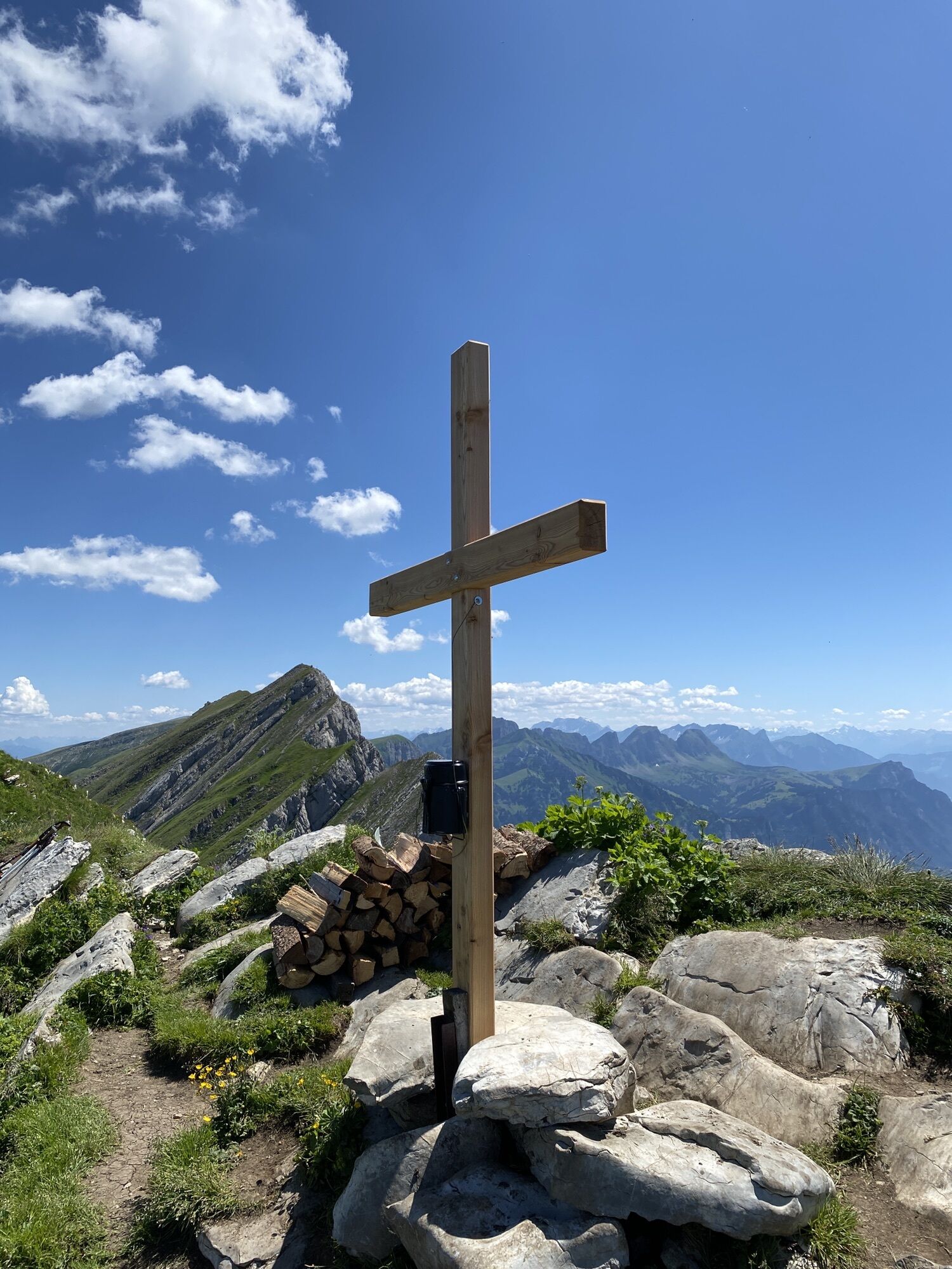
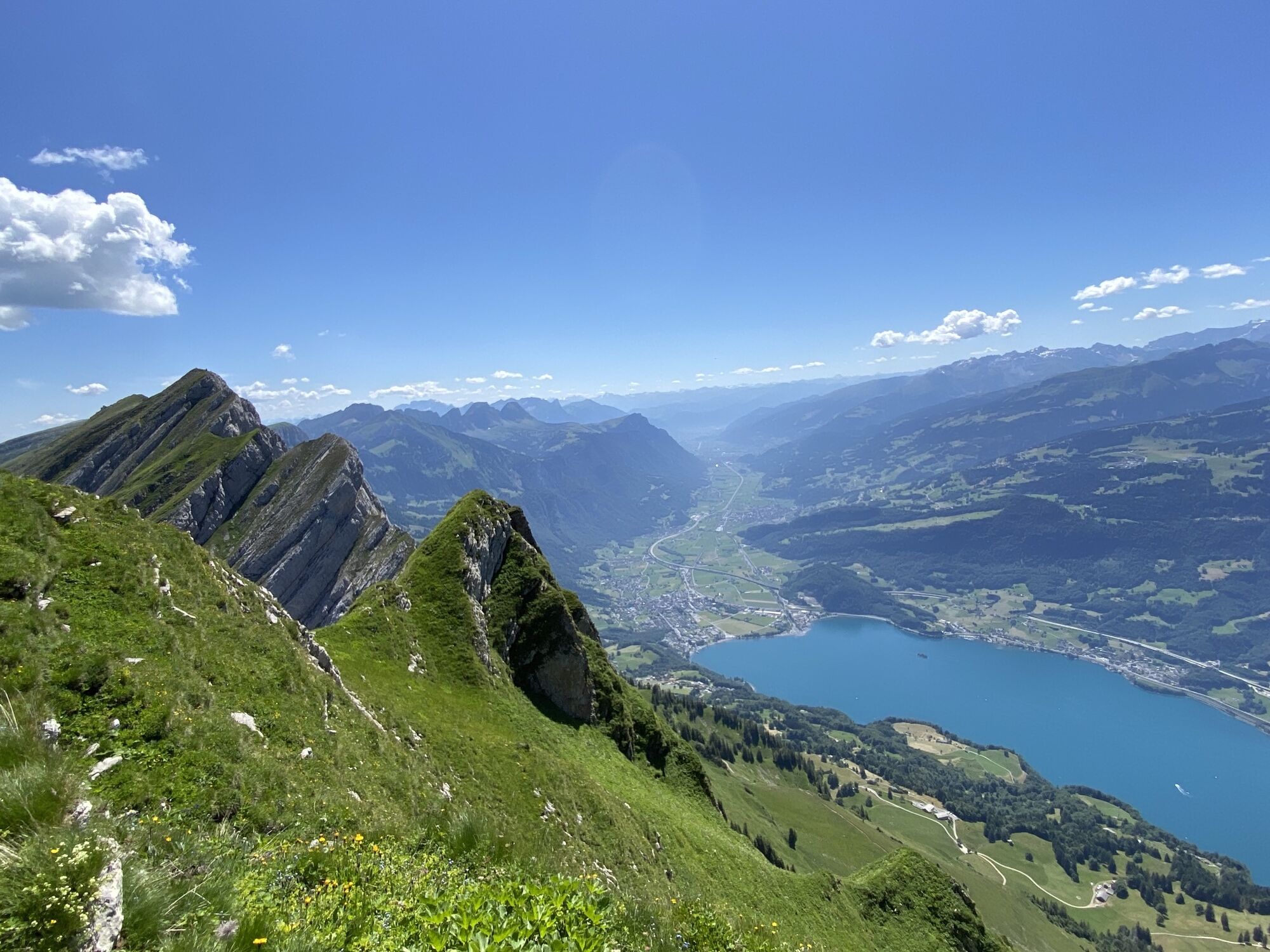
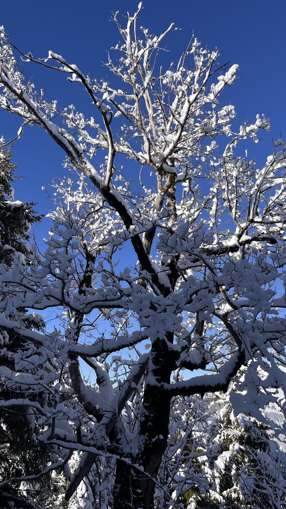
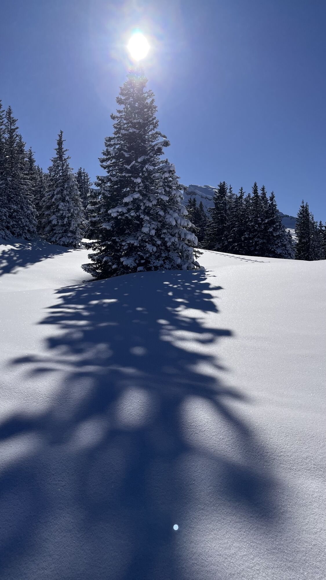
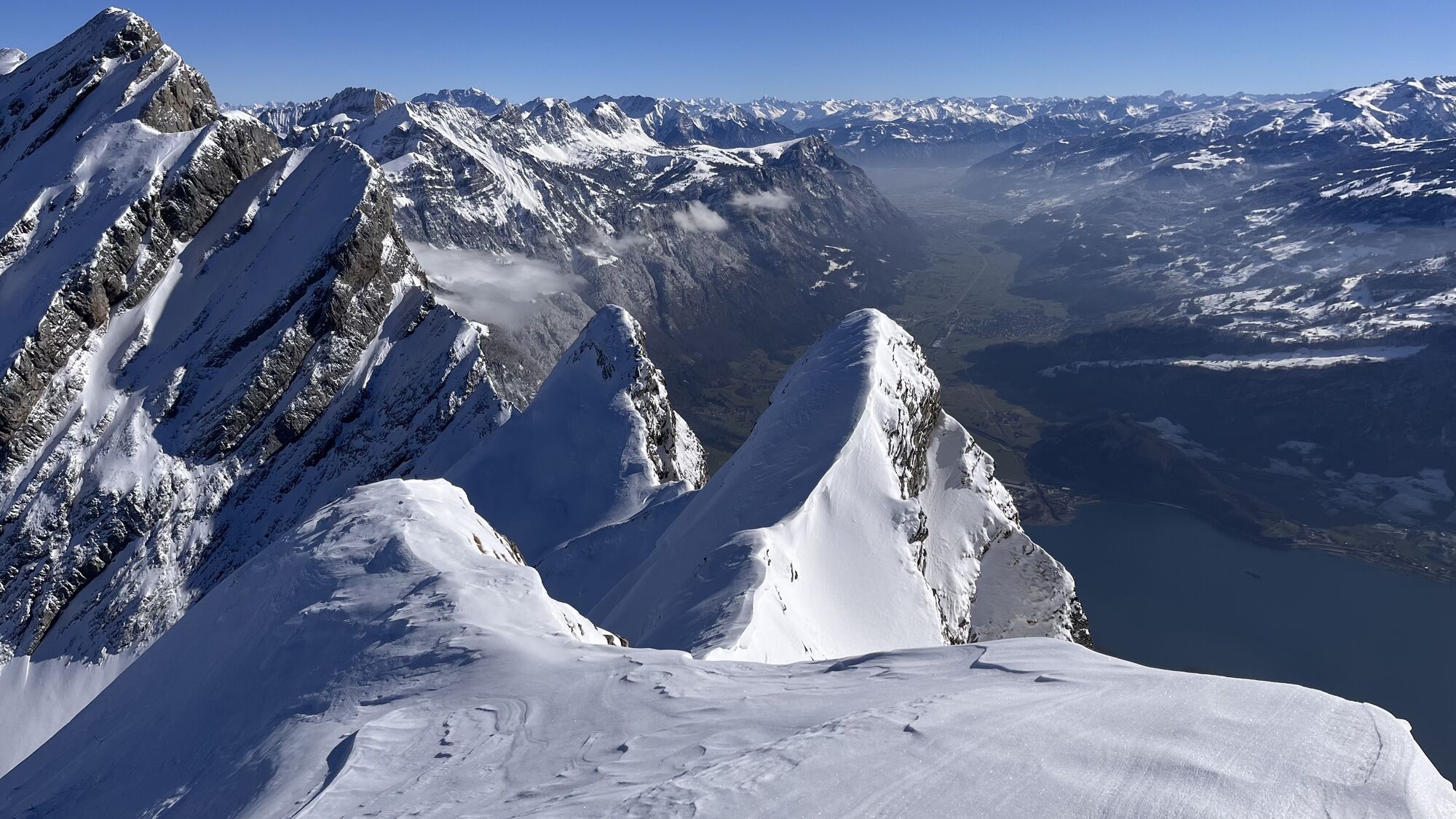
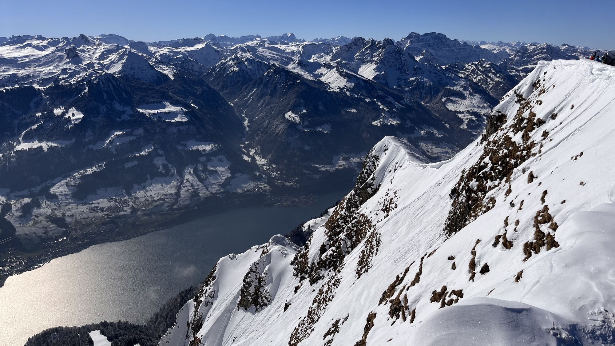
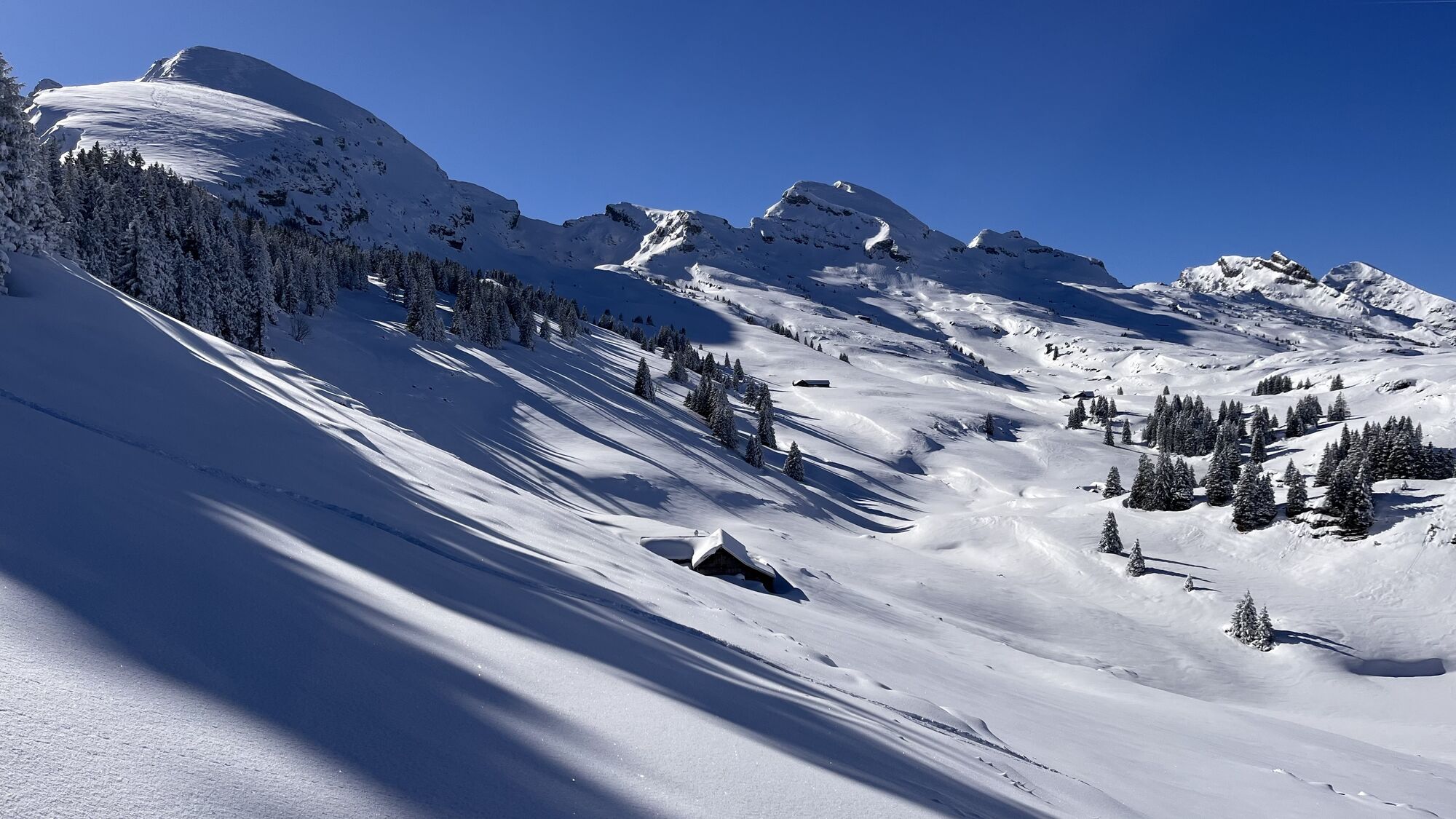
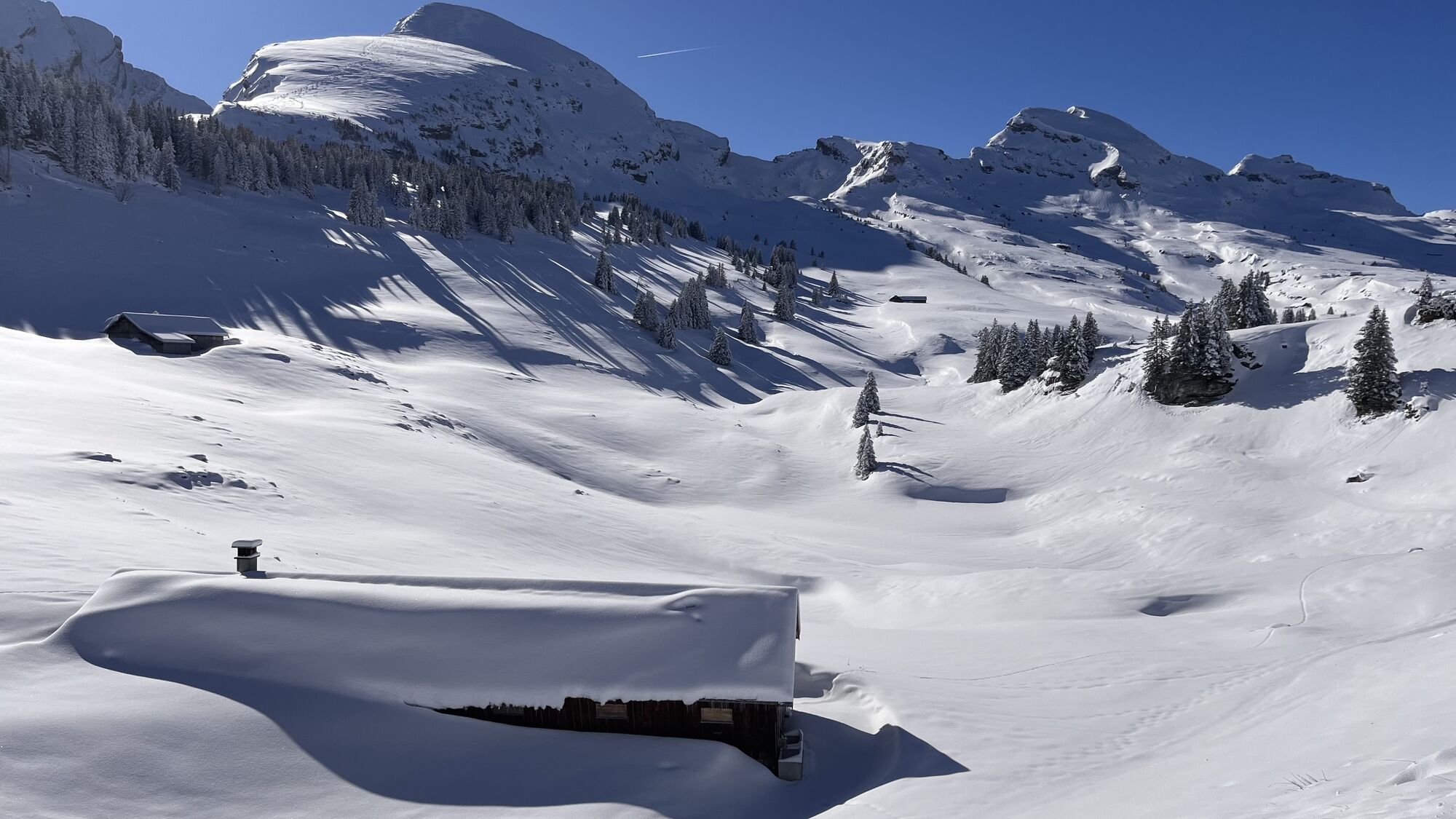
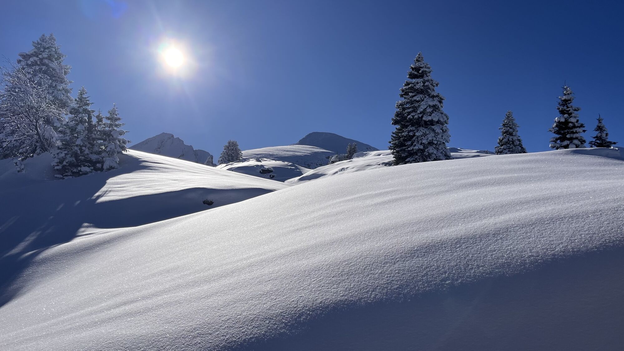
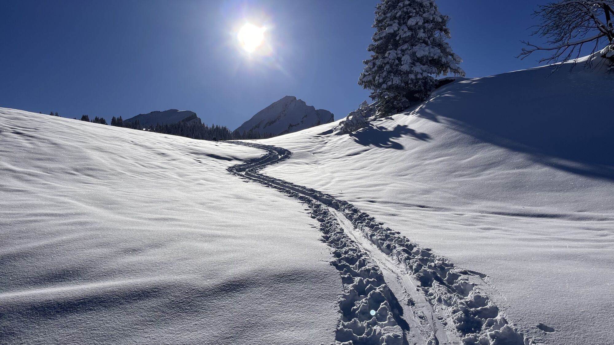
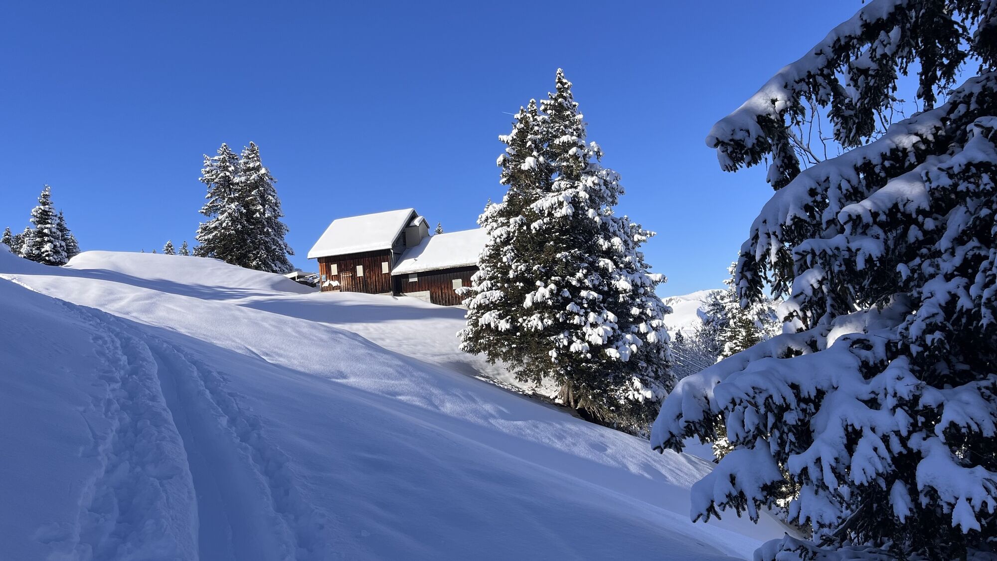
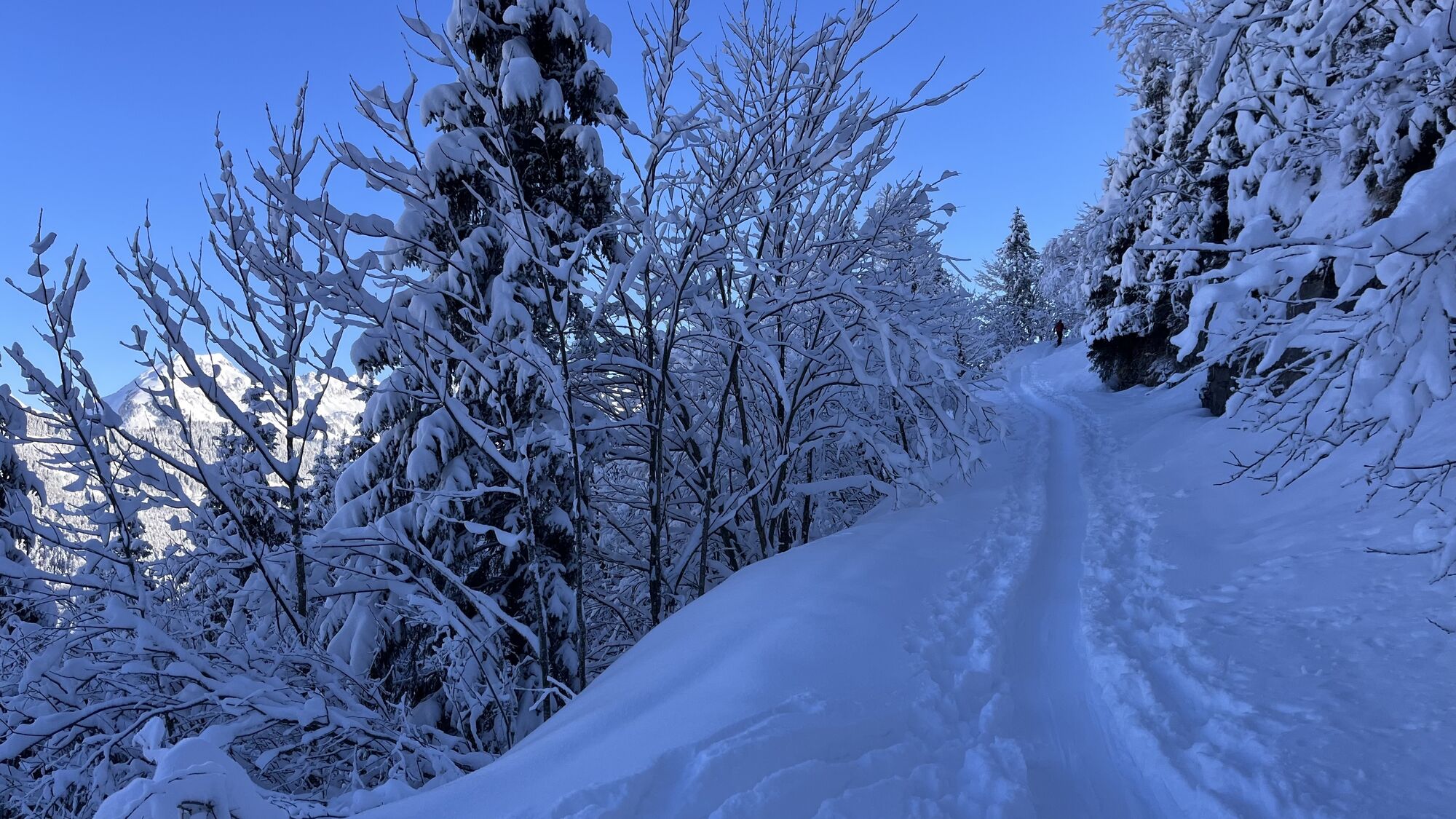
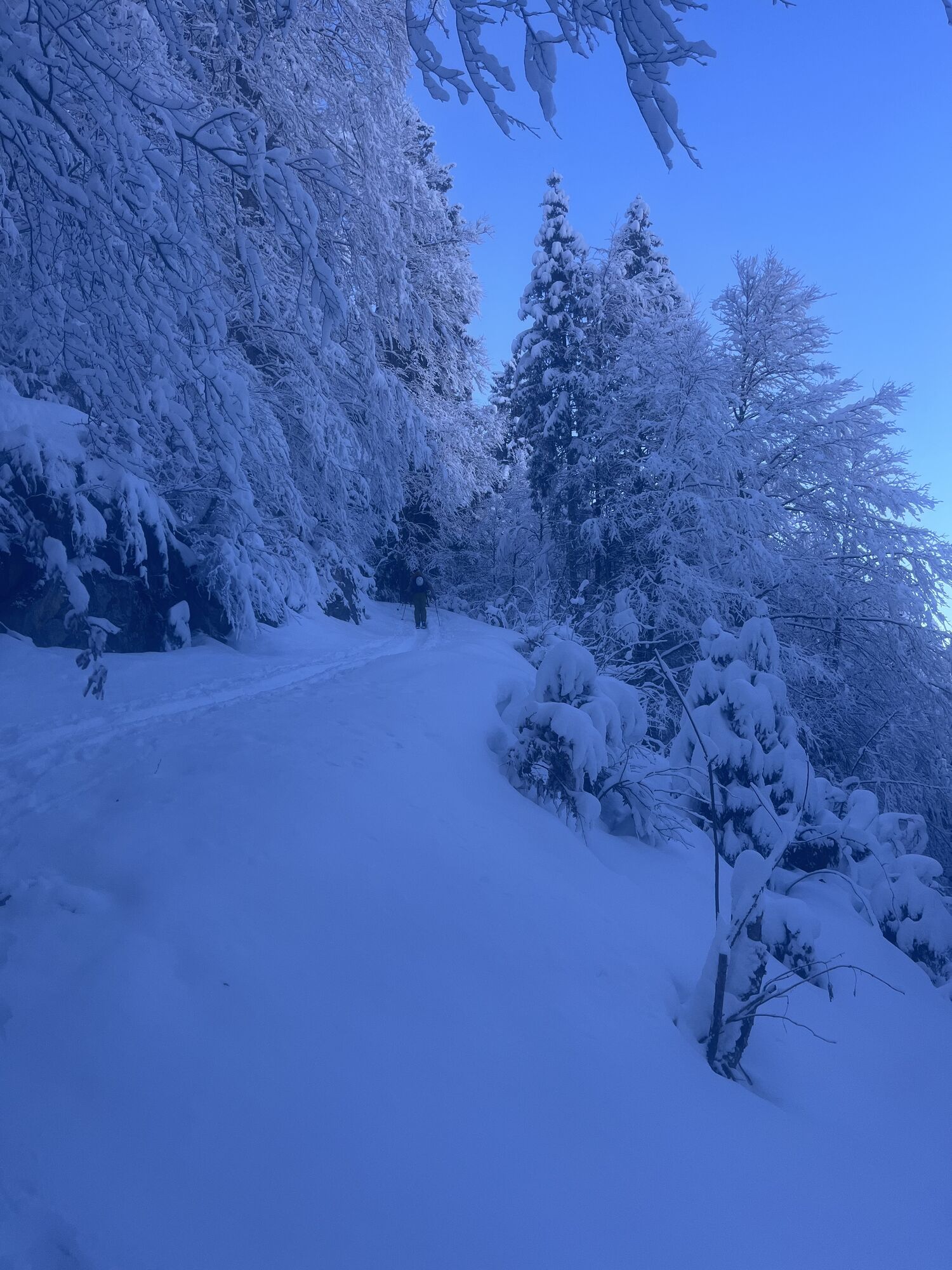
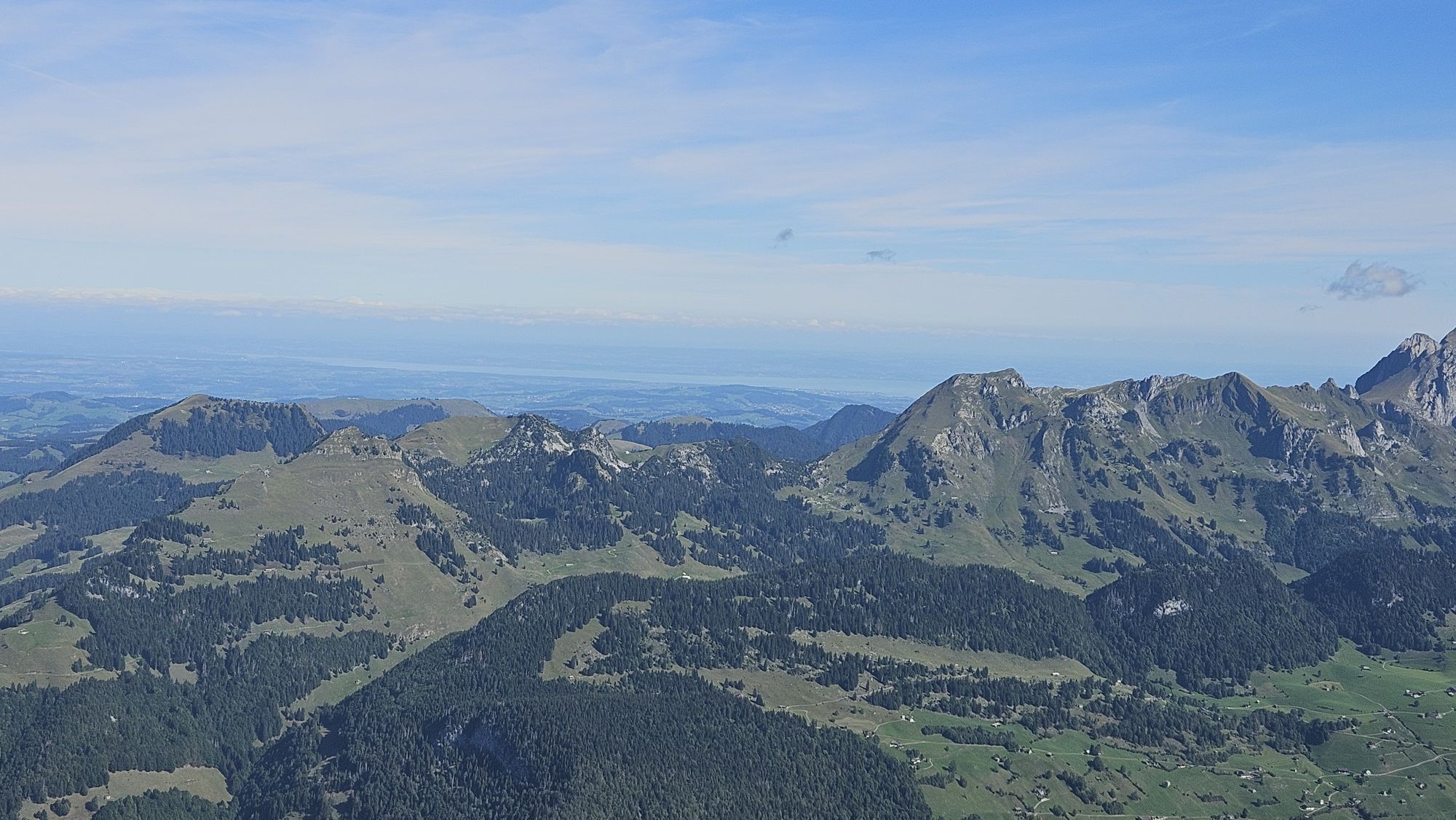
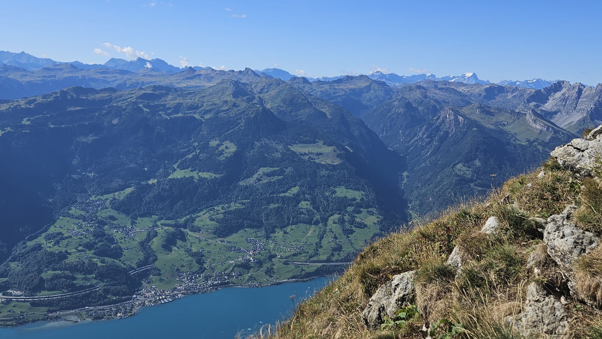
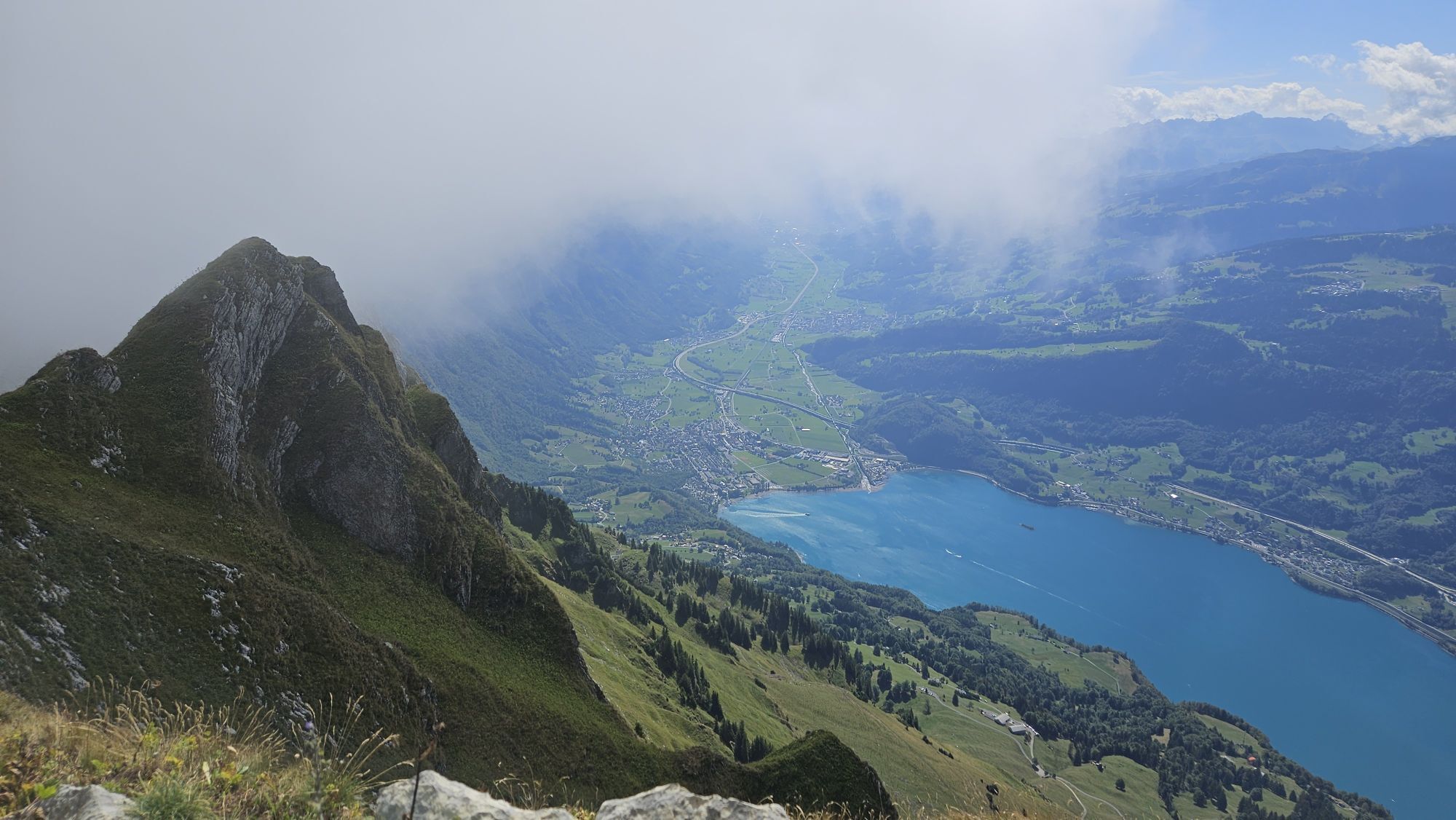
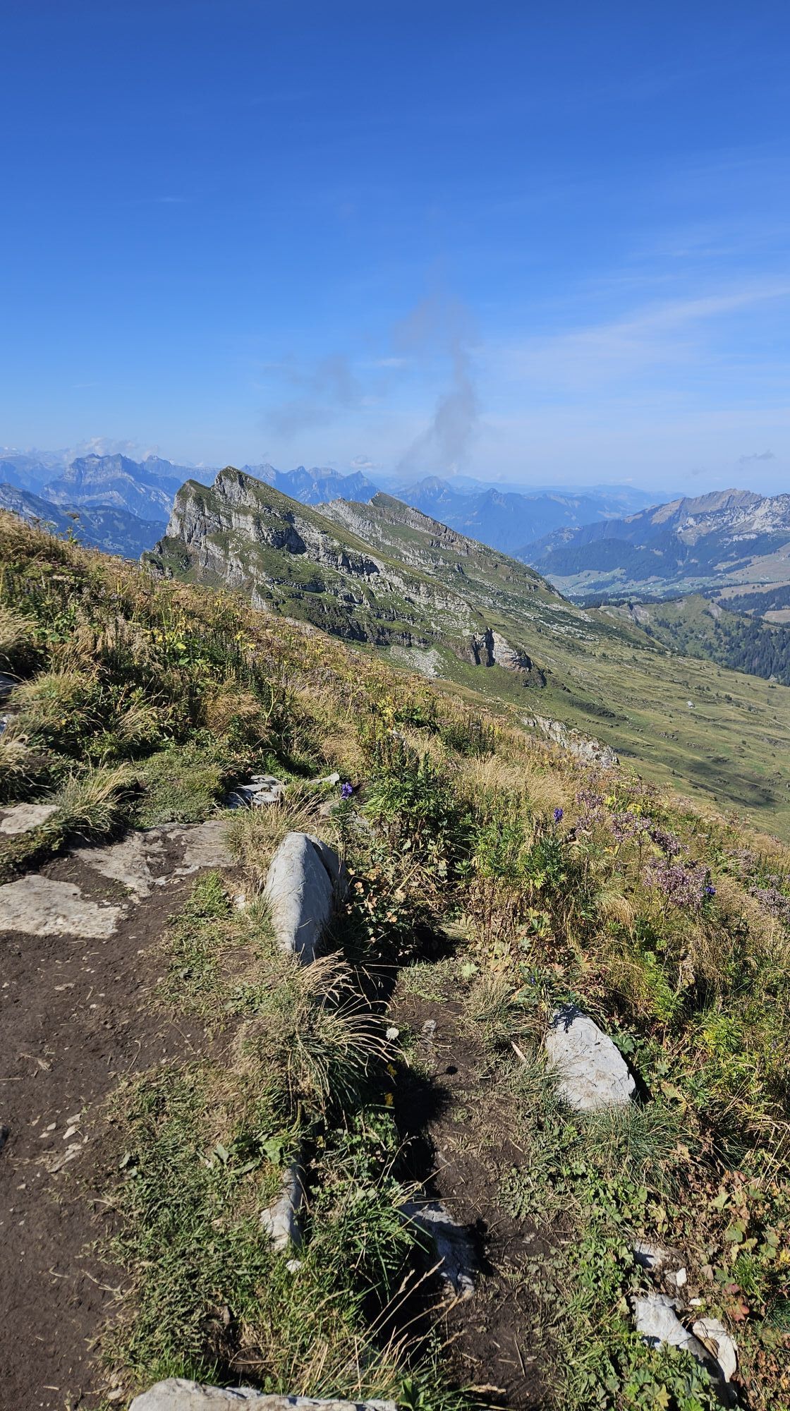
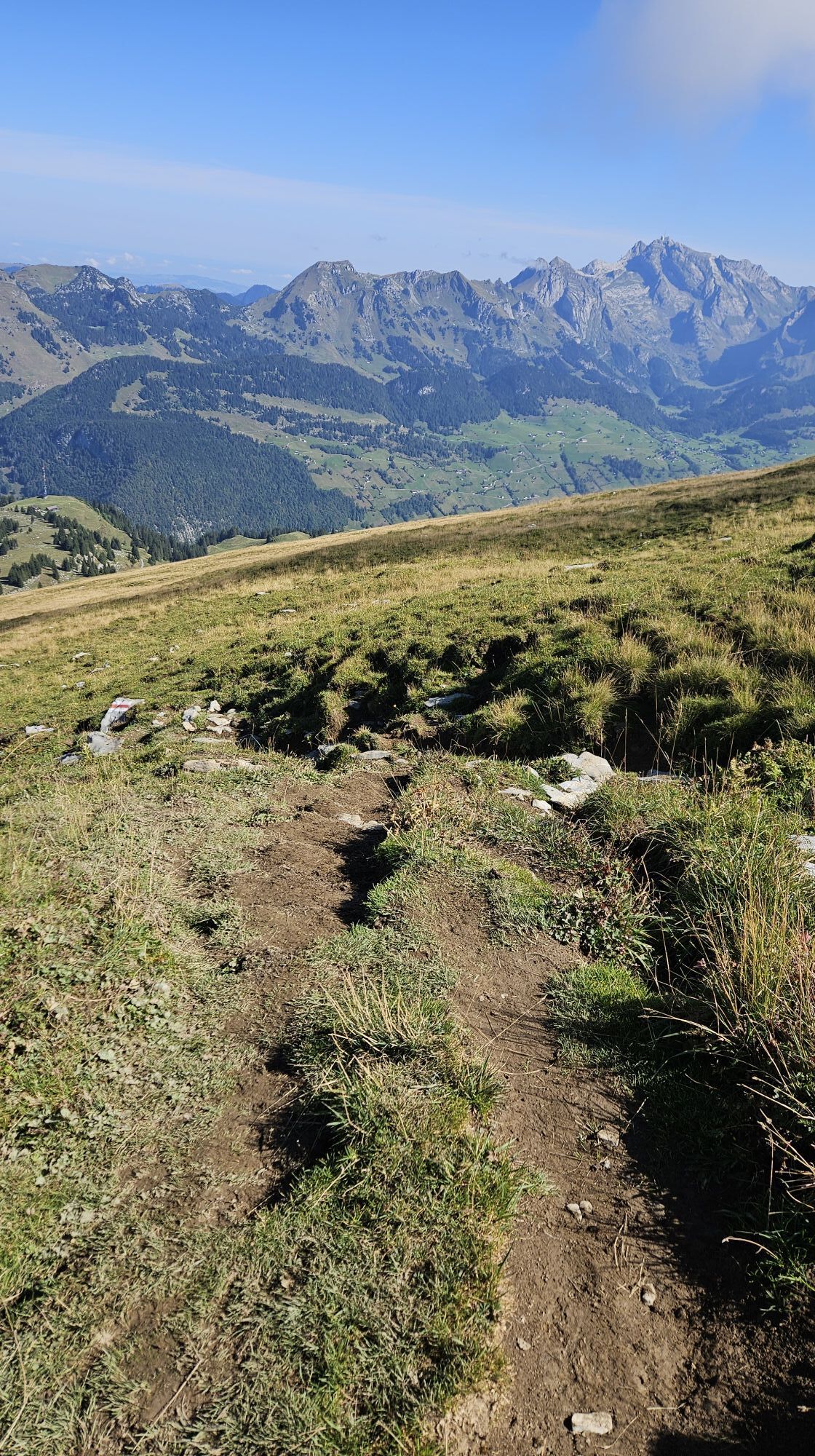
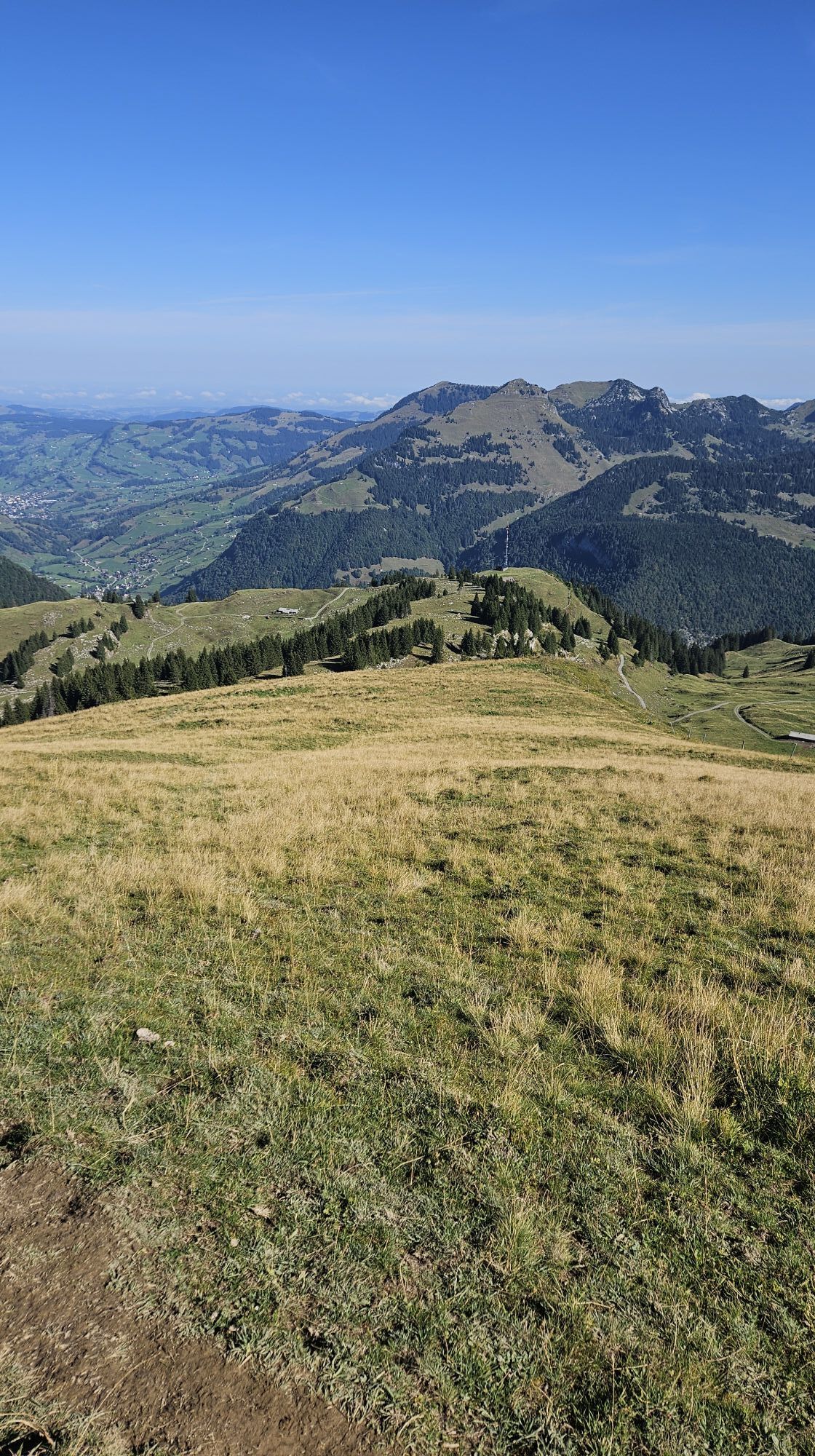
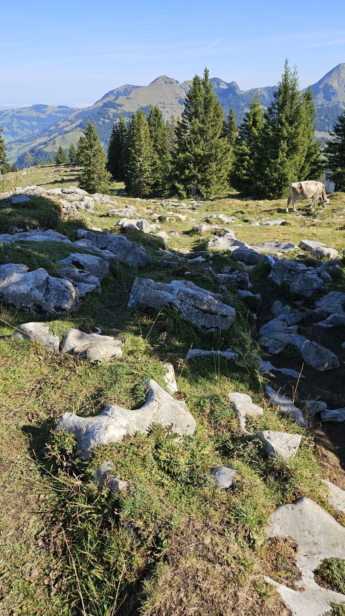
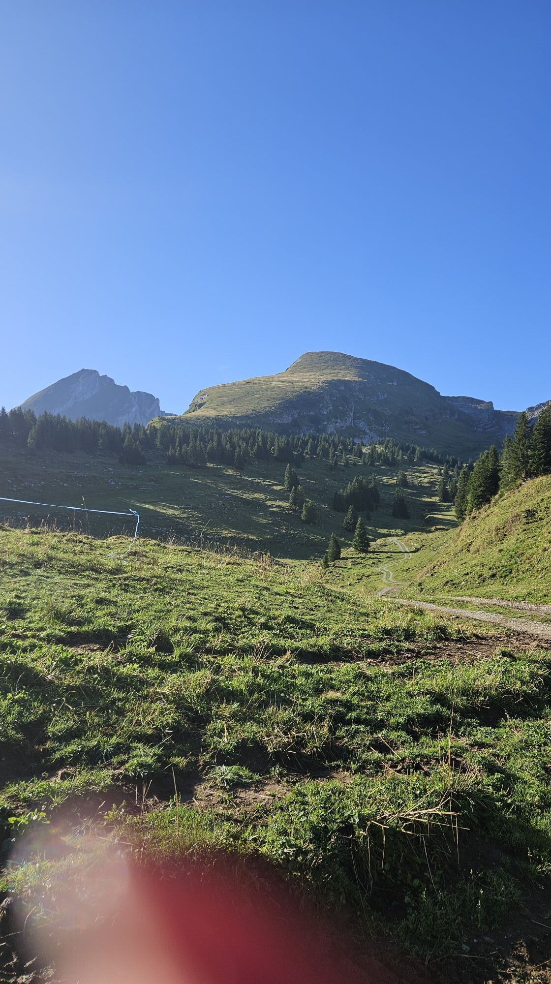
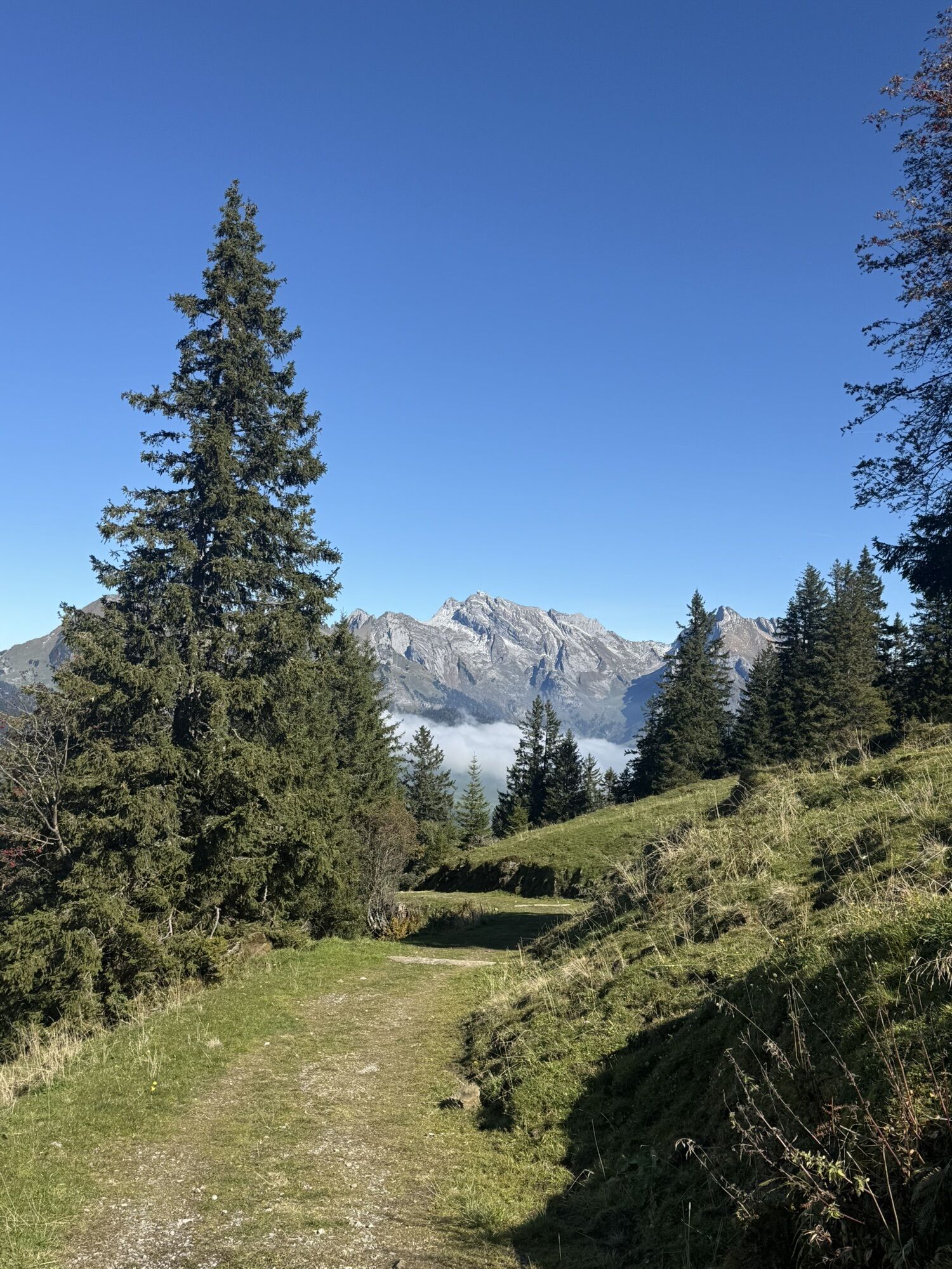
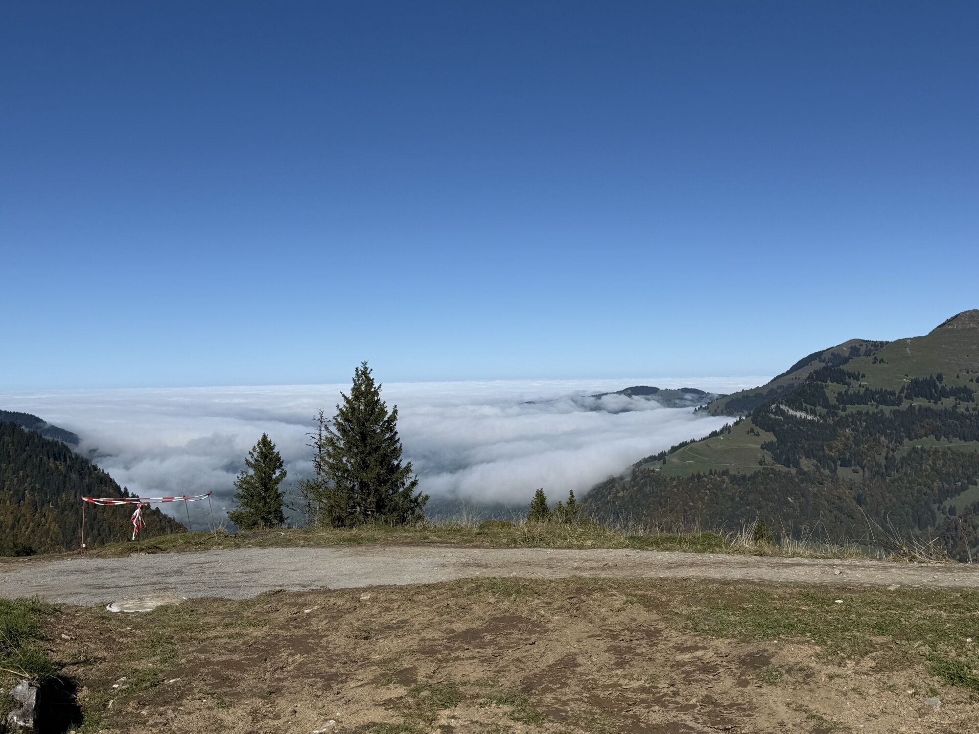
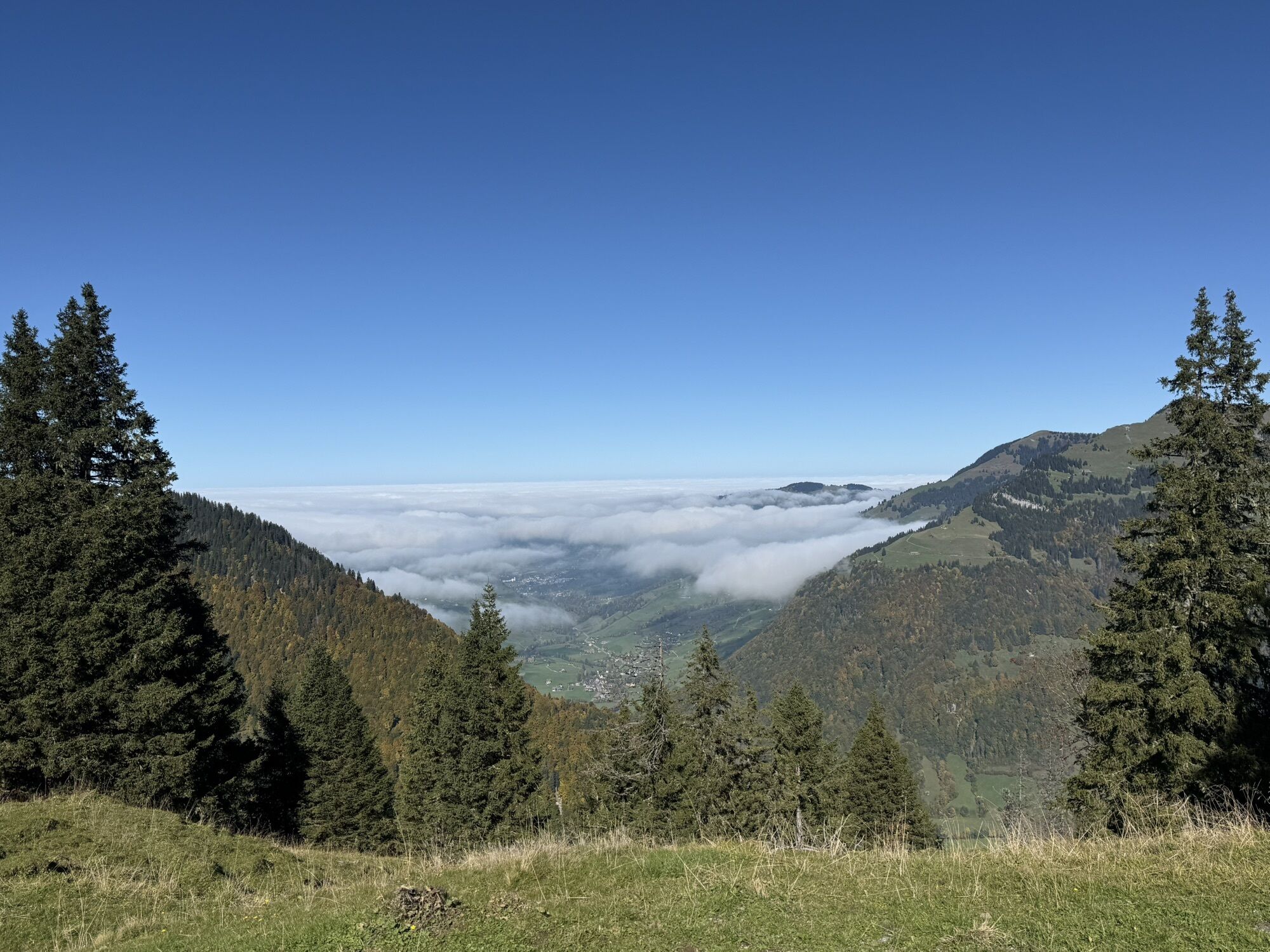
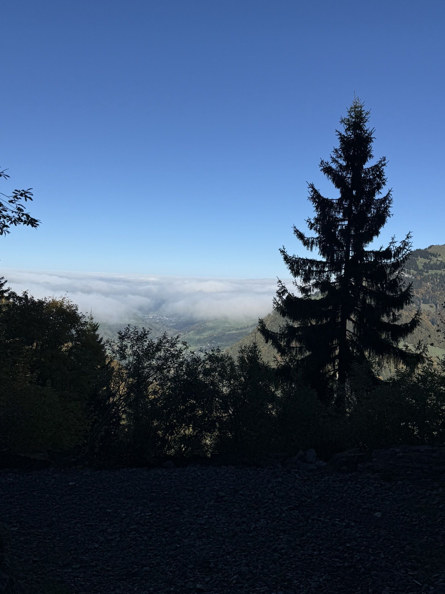
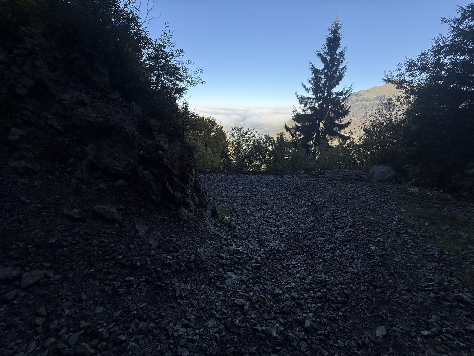
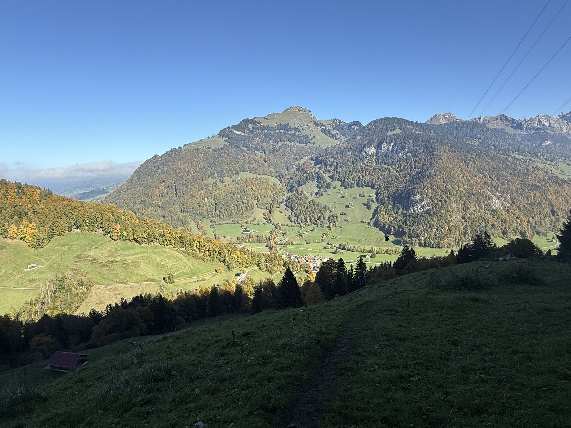
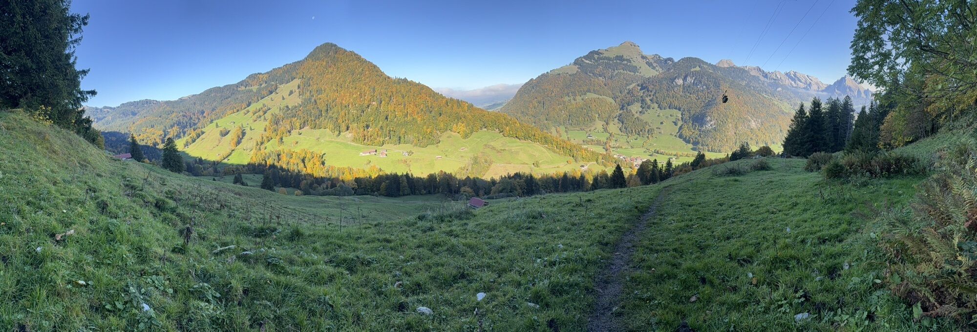
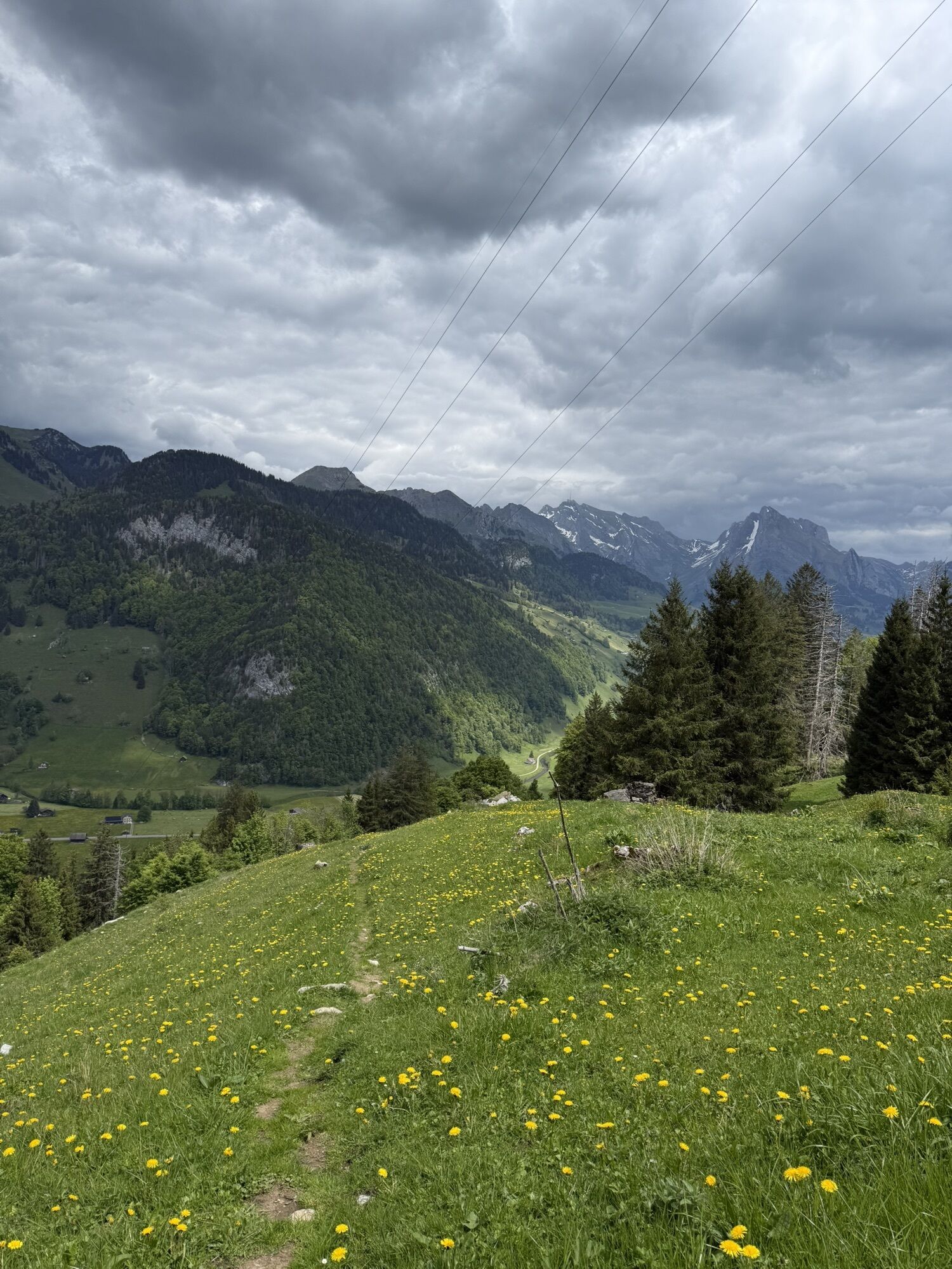
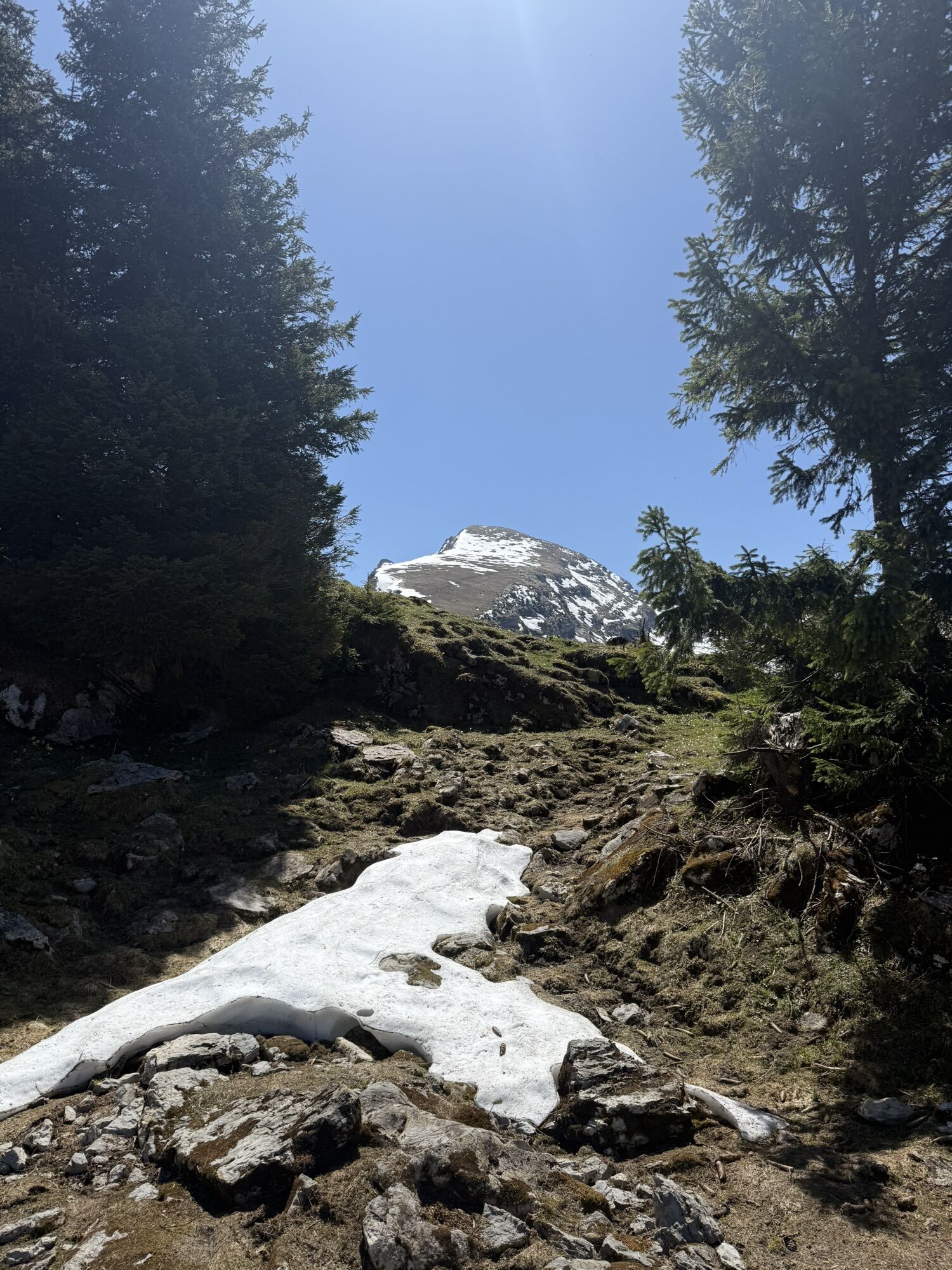
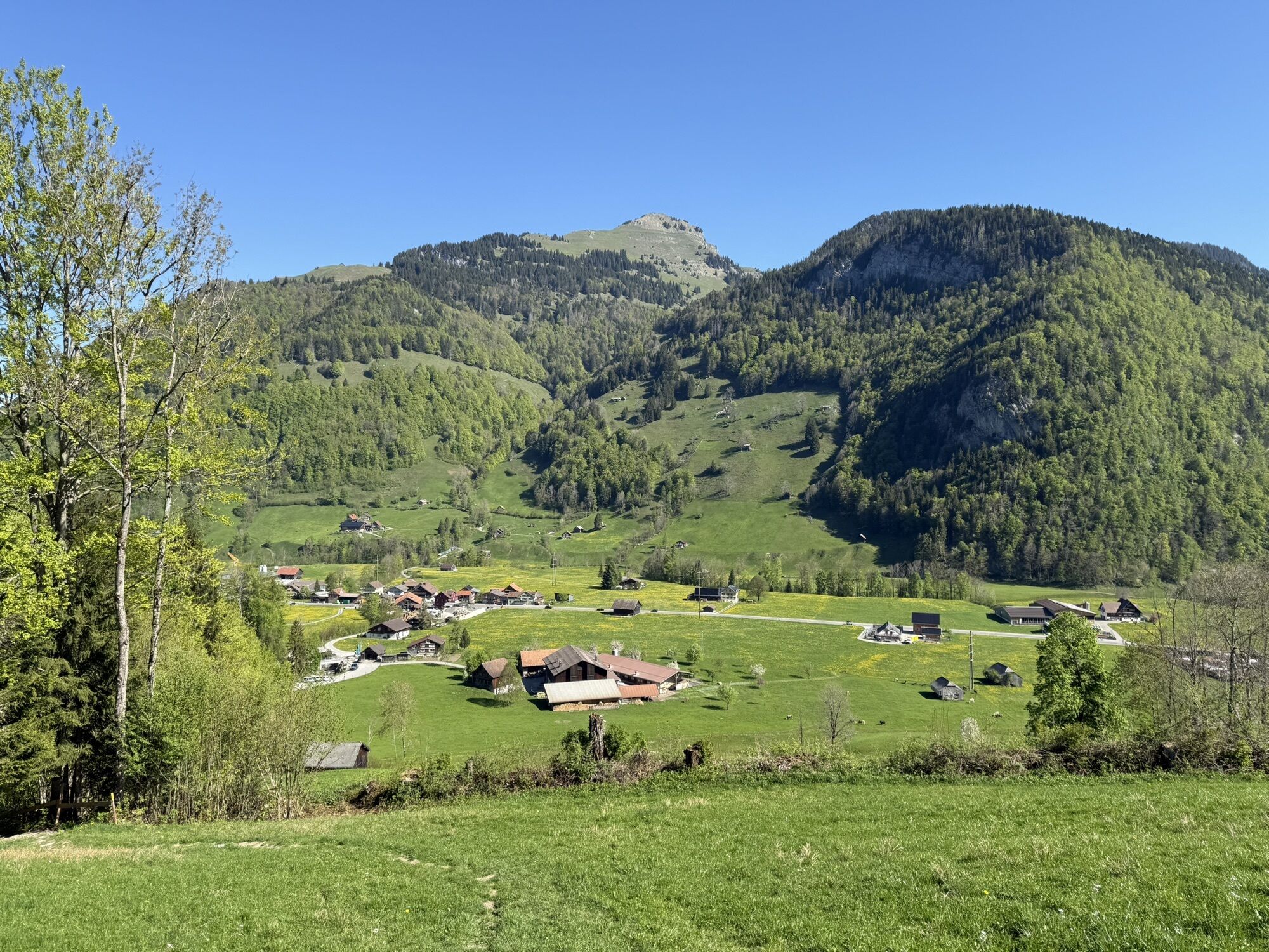
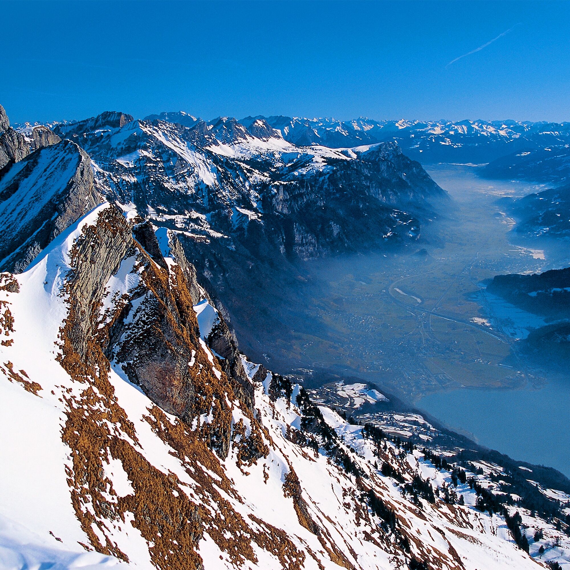
The Selun offers an easy ski tour on one of the seven Churfirsten. Beautiful landscapes and spectacular views down to Lake Walen make up for the effort.

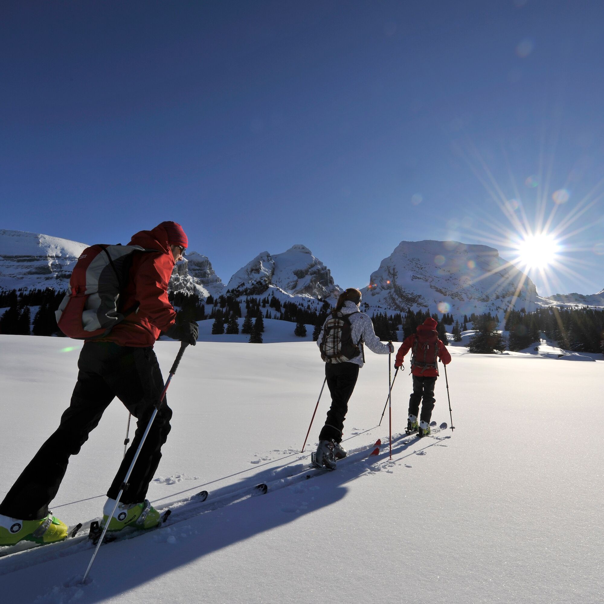

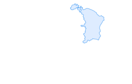
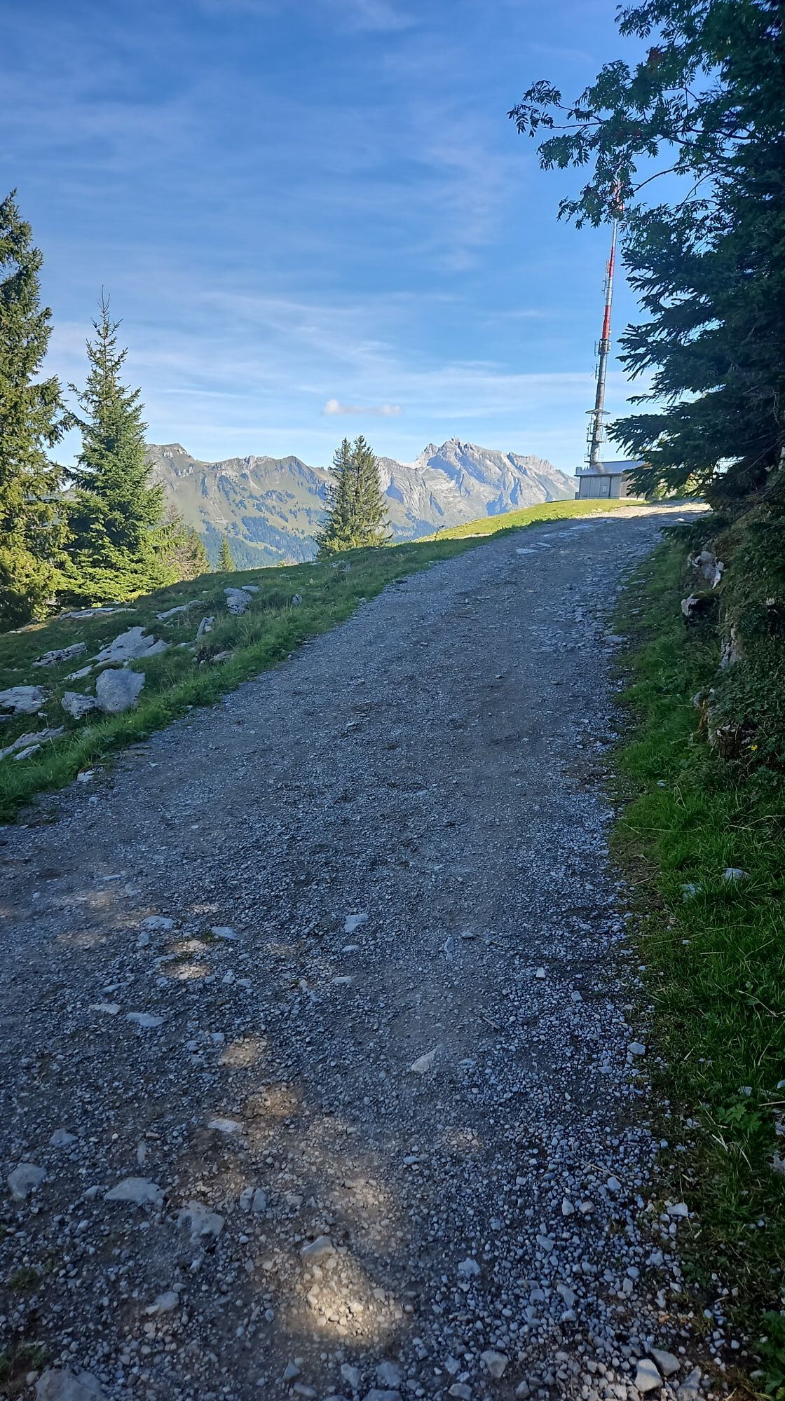
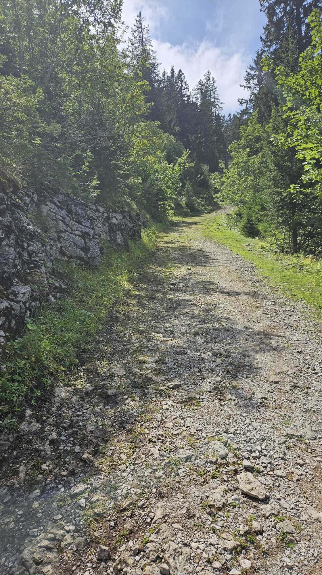
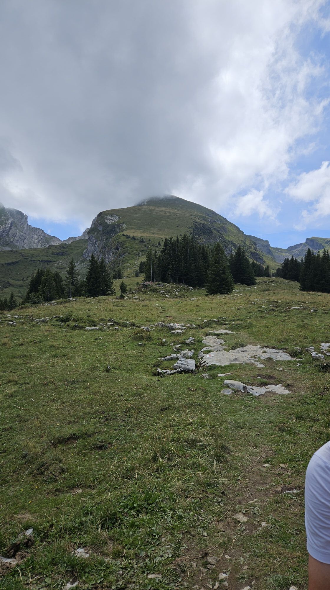
From the Starkenbach bus stop (893 m) southwestwards over open slopes to point 1048 below the winter-dormant cable car. Ascend over the pastures of Hofstatt southwards to the forest edge, where the alpine road is reached at point 1221. Ascend on the road through the partly very steep flank of the Seluner forest to the mountain station of the Selun cable car (1578 m). Now head southeast through the hollow of Vorderselun to the north ridge of the Selun, which leads directly to the summit. Descent on the same route.
Ano
Ano
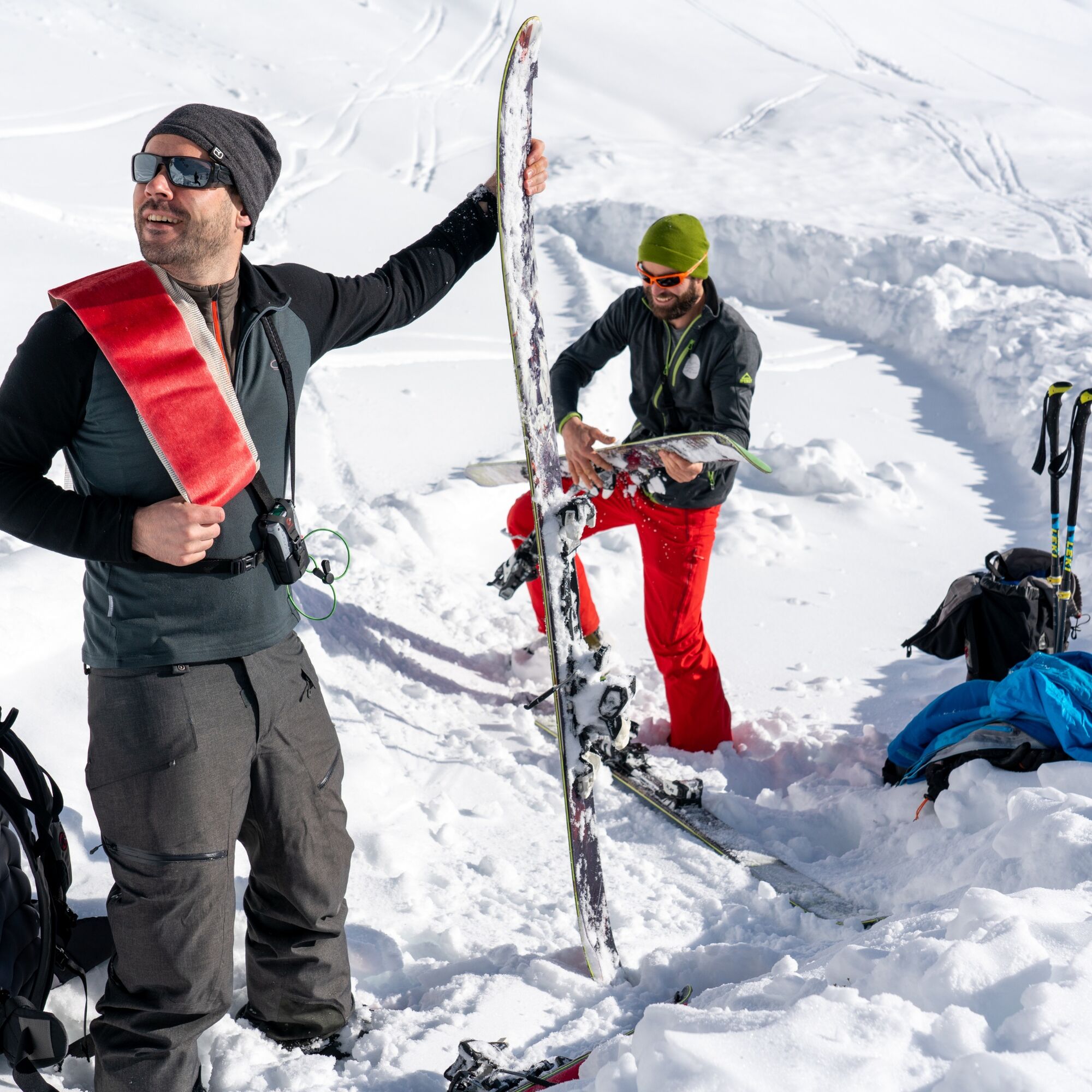
Tour skis, skins, if necessary crampons, ski poles, ski helmet, avalanche equipment with transceiver device, avalanche probe and avalanche shovel, ski touring backpack (approx. 30 liters) with avalanche airbag and rain cover, ski touring boots, ski socks, warm and durable clothing in a layering system, ski touring jacket and pants, light gloves for the ascent, warm gloves for the descent, hat/headband, if necessary ski goggles, sun and rain protection, provisions and drinking water, thermos with hot drink, first aid kit, pocket knife, mobile phone, headlamp and reflectors, maps, bivvy sack and emergency blanket.
The ridge of the Selun is often wind-swept due to its exposed location.
Do not leave the route. There is a risk of falling due to karst holes!
By train to Nesslau Neu St. Johann station and then by bus to Starkenbach.
From the Rhine Valley by train to Buchs SG station and then by post bus to the "Starkenbach" stop.
There are no parking facilities available. We recommend arriving by public transport.
Toggenburg Tourism
Hauptstrasse 104
9658 Wildhaus
+41 71 999 99 11
Those who do not want to descend through the forest cross at the height of "Strichboden" towards Sellamatt and enjoy one of the sun terraces there.


Aktivity na trase

Wildhaus-Alt St. Johann, St. Gallen/Schweiz
06.09.2026 – Turistika
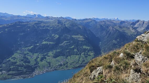
Starkenbach-Selun-Starkenbach
30.08.2026 – Horská turistikaSelun, St. Gallen/Schweiz
29.08.2026 – Turistika
Wildhaus-Alt St. Johann, St. Gallen/Schweiz
23.08.2026 – Turistika
Simon_Rucker_2026-08-08_09-00-29.GPX
08.08.2026 – Horská turistika
Wildhaus-Alt St. Johann, St. Gallen/Schweiz
25.05.2026 – Mountainbike
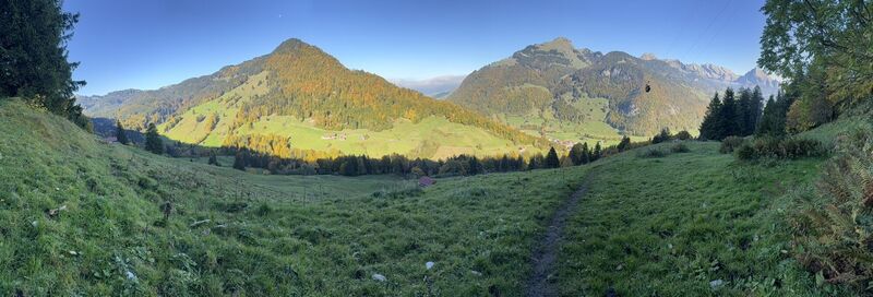
Wildhaus-Alt St. Johann, St. Gallen/Schweiz
11.10.2025 – Turistika
Selun / Wildhaus-Alt St. Johann, St. Gallen/Schweiz
11.10.2025 – Turistika
Wildhaus-Alt St. Johann, St. Gallen/Schweiz
17.05.2025 – TuristikaWildhaus-Alt Sankt Johann Wandern
17.05.2025 – Horská turistika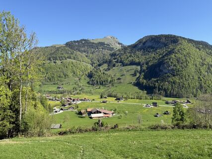
Wildhaus-Alt St. Johann, St. Gallen/Schweiz
02.05.2025 – TuristikaWildhaus-Alt Sankt Johann Wandern
02.05.2025 – Horská turistika
Oblíbené prohlídky v okolí
- 4.8
Walensee Riviera Weesen - Quinten
středníTuristika 10.2 km - 4.7
Riviera Lake Walen Walenstadt-Quinten
středníTuristika 10.4 km - 4.6
Weesen - Quinten - Walenstadt
heavyTuristika 20.6 km - 4.9
Säntis-Gipfeltour, Wasserauen / Appenzell Innerrhoden
heavyTuristika 21.1 km - 4.6
Säntis
středníHorská turistika 17.5 km - 4.5
7-Peak Tour Flumserberg
heavyTuristika 15.0 km - 4.9
Alpine and Cultural Trail Schrina
středníTematická stezka 11.5 km - 4.7
Alvier
středníTuristika 3.33 km - 4.9
Fronalpstock GL
středníTuristika 7.84 km - 4.6
4-Summit-Route Flumserberg
středníTuristika 8.65 km
Pěší turistika a stopování


Nenechte si ujít nabídky a inspiraci pro vaši příští dovolenou
Vaše e-mailová adresa byl přidán do poštovního seznamu.





