






Randen route
Úroveň obtížnosti: 3
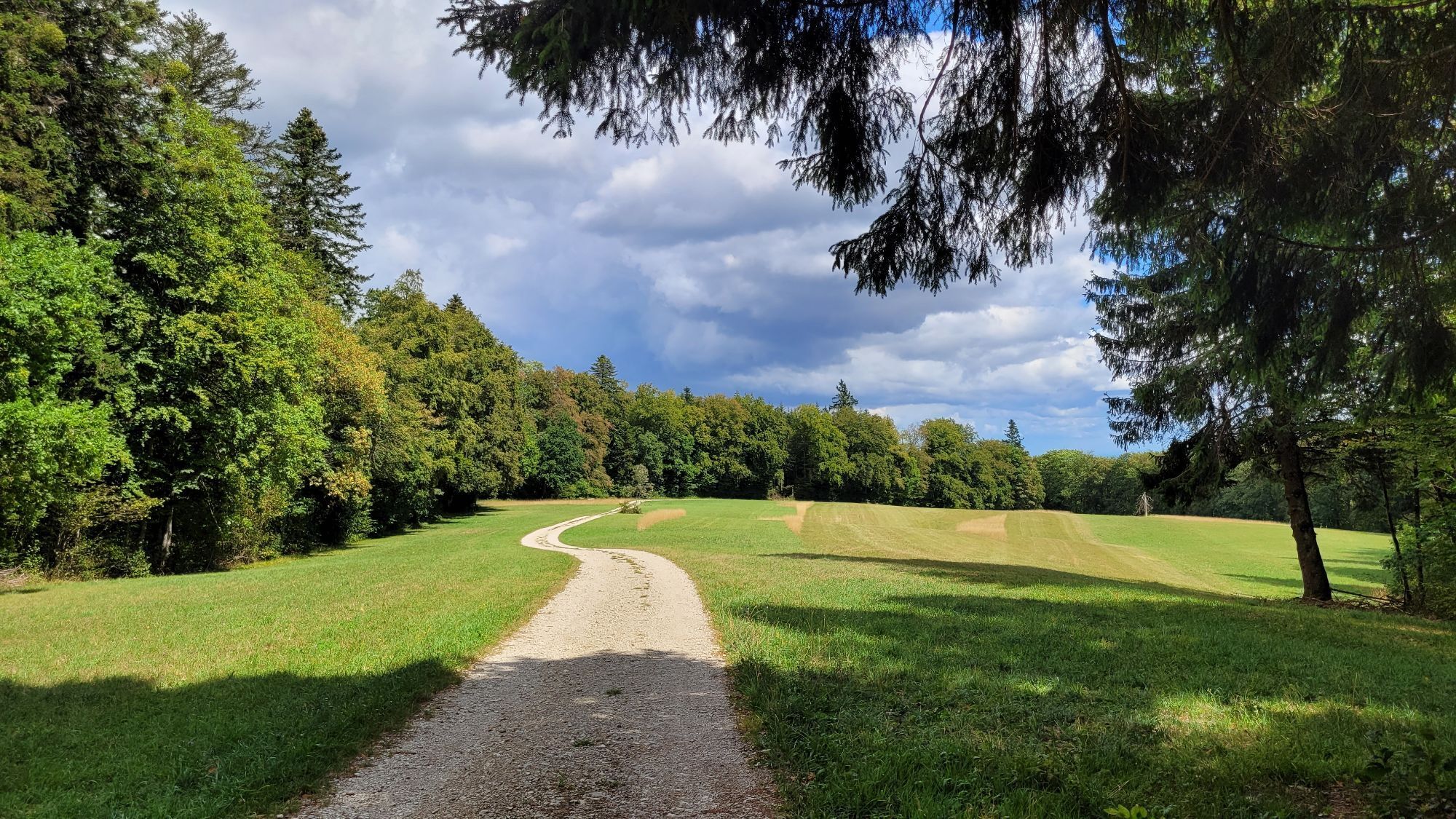
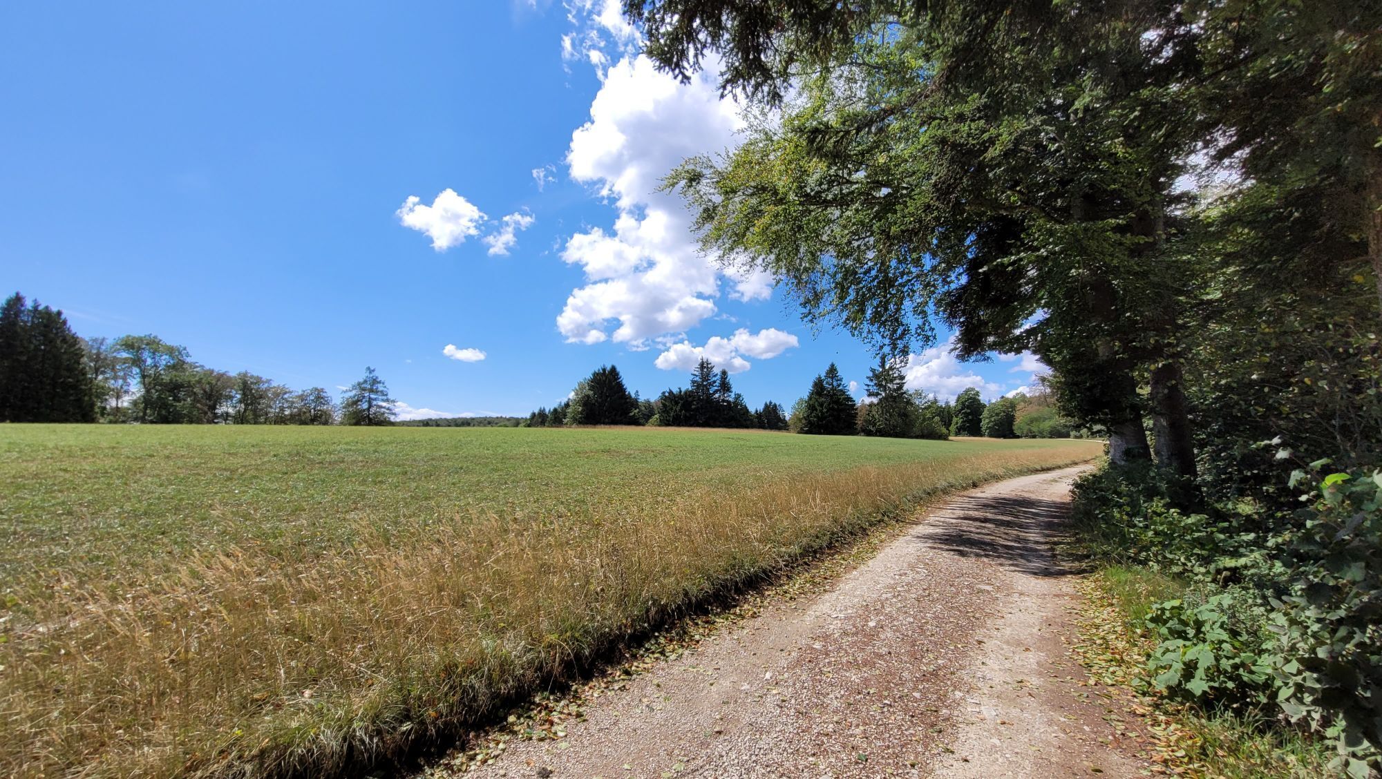
The Randen route offers you a diverse track with culinary, cultural, scenic and recreational highlights and lets you explore the Reiat and Randengemeinden of the Schaffhausen region and the Schaffhausen...
The Randen route offers you a diverse track with culinary, cultural, scenic and recreational highlights and lets you explore the Reiat and Randengemeinden of the Schaffhausen region and the Schaffhausen Regional Nature Park in a sporty way. The dense forests, romantic clearings, wide meadows and the Randentowers, which offer a unique view over the region, make the Randen a wonderful area for local recreation.
The bike route leads you over well-maintained cycle paths from Schaffhausen into the Reiat and from there up into the forests of the Randen. The climbs require good fitness at times – but are rewarded by fast descents afterwards. The flora and fauna of the region impress with a diversity that will make your heart beat faster as a nature lover. The highlight of the route is the Schleitheim Randenturm, which marks the highest point of the Schaffhausen Regional Nature Park.
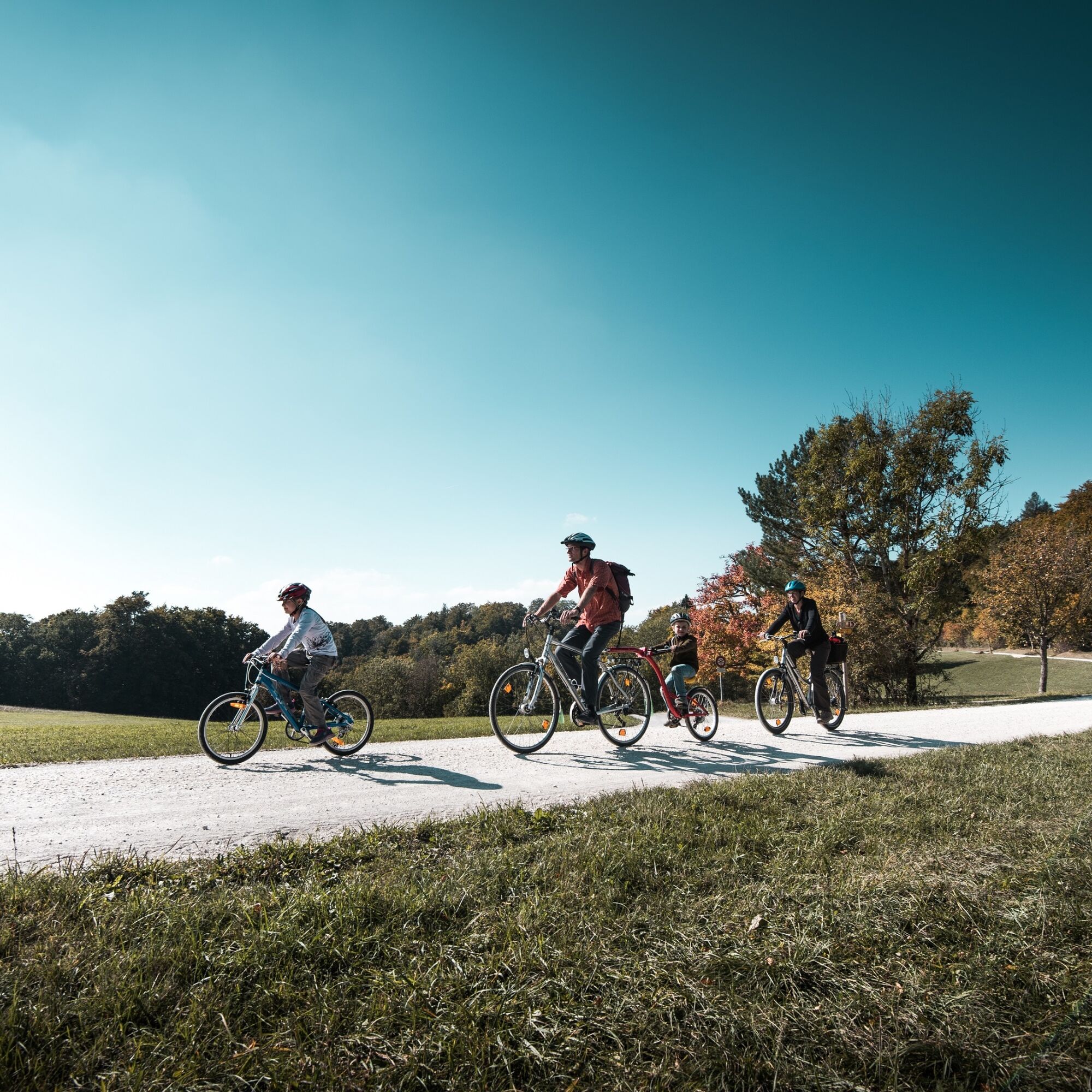
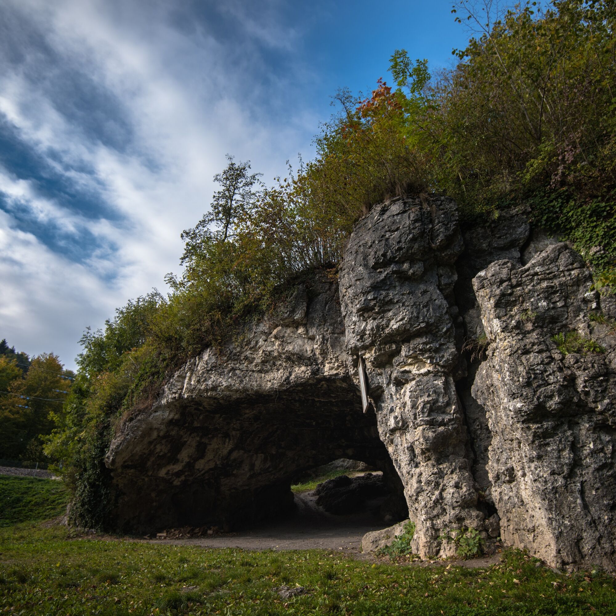
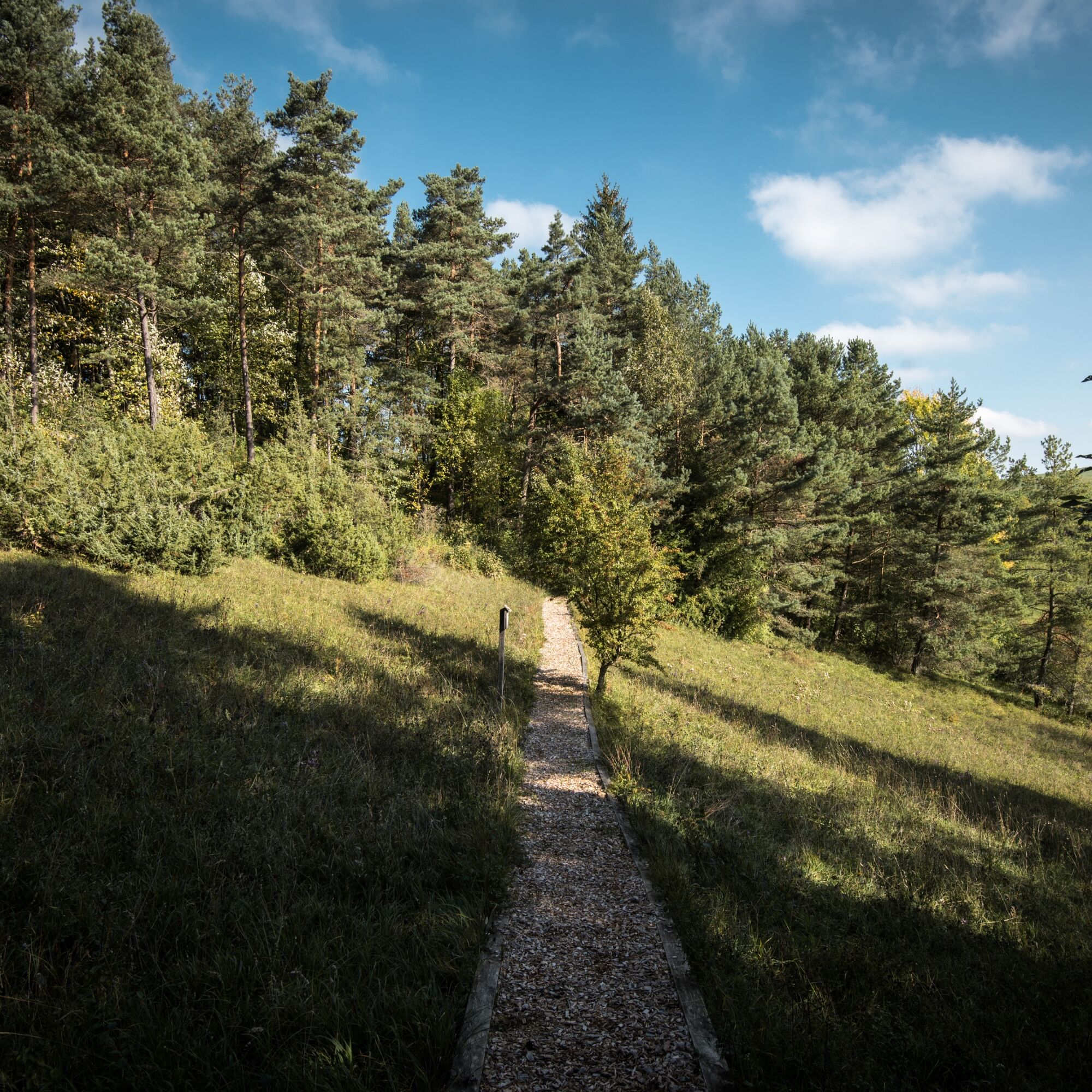
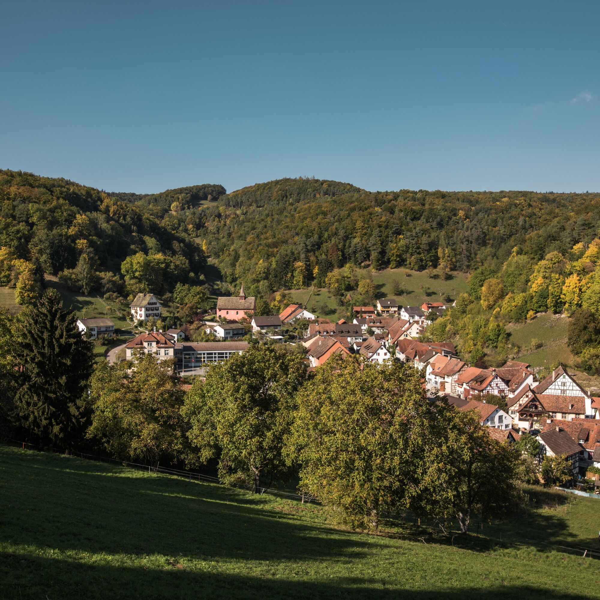
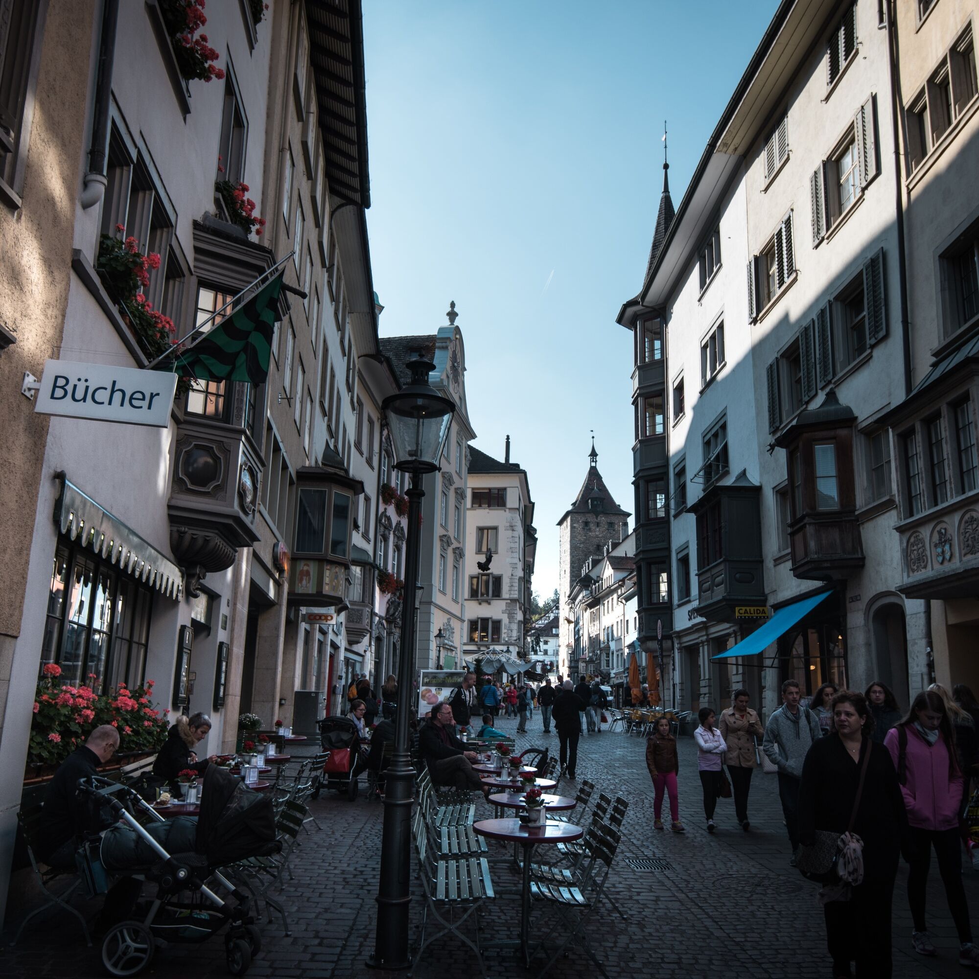

From Schaffhausen train station, you cycle along Hochstrasse to Herblingen and follow the bike path to Thayngen. You reach the Kesslerloch, one of the most important sites from the late Ice Age in Europe. Excavations took place until 1980, revealing even mammoth and reindeer bones. The route continues along the Biber, the largest tributary of the Rhine between Stein am Rhein and Schaffhausen. The ride takes you through the small villages of Bibern and Hofen. If you need a refreshment, the Reiatbadi in Hofen awaits you – small but charming. Upon arriving in Altdorf, a small sip of a good drop from the northernmost vineyard in Switzerland is worth it. Then you continue to Bargen, where a longer climb to the Hagenturm awaits you. Via Zelgli, you reach Hemmental, from there you go through the Hauental back to Schaffhausen.
Bike helmet, suitable clothing, drinks and snacks for in between.
You ride on bike paths, gravel paths and roads – a bike helmet is therefore recommended.
Starting point: Schaffhausen train station
Route planner
Starting point: Schaffhausen train station
Various parking garages in close proximity to the station. Parkhof Bahnhof is recommended.
3
Climb the 20-meter-high Schleitheim Randenturm and enjoy views stretching to the Swiss Prealps and the Black Forest.
Webové kamery z prohlídky
Získejte přehled
Vždy živě na místě s více než 9 500 webkamerami. bergfex Jako uživatel Pro si nyní můžete zobrazit odpovídající webové kamery pro mnoho prohlídek v aplikaci prohlídky z. Můžete si tak přímo prohlédnout aktuální podmínky.
Oblíbené prohlídky v okolí
-
4.7
Premium Hiking Trail - 3-Schluchten Tour
středníTematická stezka 9.62 km -
4.7
Wutachschlucht Rundwanderung im Süd Schwarzwald
středníTuristika 9.76 km -
4.7
"Hegauer Kegelspiel" Alter Postweg
středníTuristika 9.26 km -
4.4
Wutach, Deutschland
středníTuristika 14.6 km -
3.3
"Hegauer Kegelspiel" Wannenberg hike
středníTuristika 9.35 km -
5.0
"Hegauer Kegelspiel" Stettener Panoramaweg
středníTuristika 7.62 km -
5.0
Circular hike over the Hinterranden
středníTuristika 11.0 km -
4.5
Nature trail Merishausen: Brown route
středníTematická stezka 11.4 km -
4.5
SchweizMobil 593: Nordspitze Panoramaweg
středníTuristika 13.7 km -
2.8
"Hegauer Kegelspiel" Hewensteig
středníTuristika 6.23 km

Pěší turistika a stopování


Nenechte si ujít nabídky a inspiraci pro vaši příští dovolenou
Vaše e-mailová adresa byl přidán do poštovního seznamu.





