


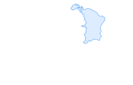

Mountain bike route, Oelberg route

Úroveň obtížnosti: S1
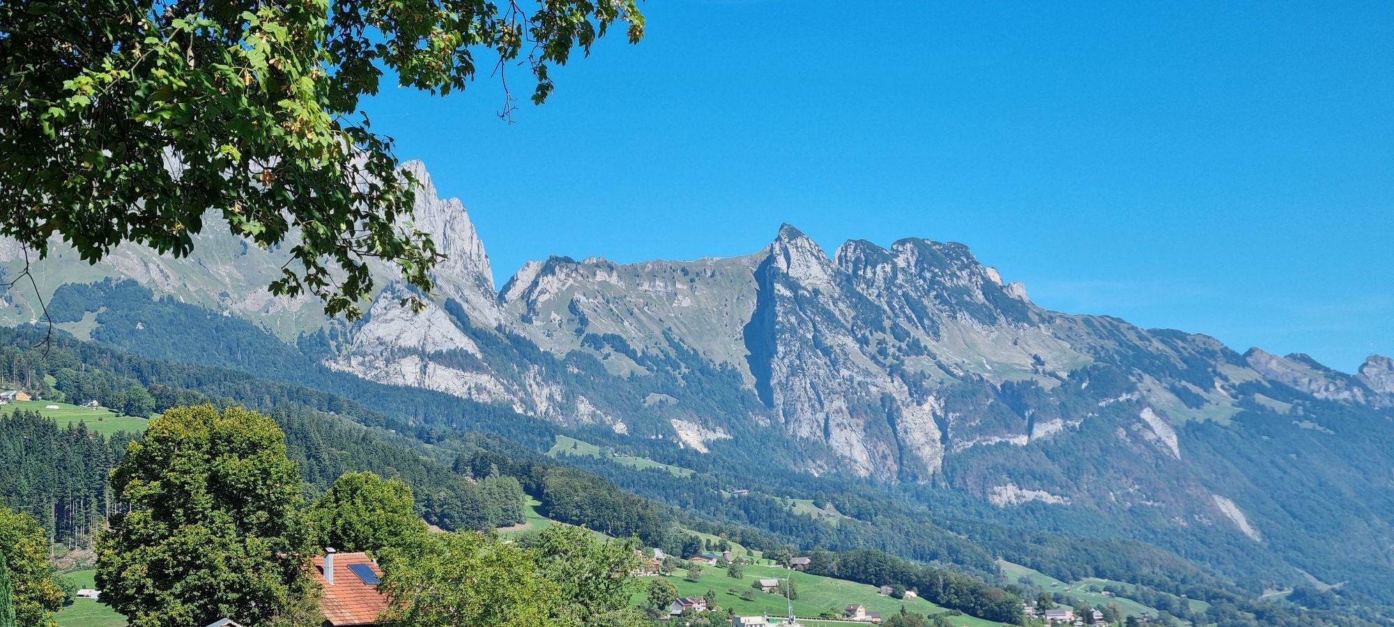
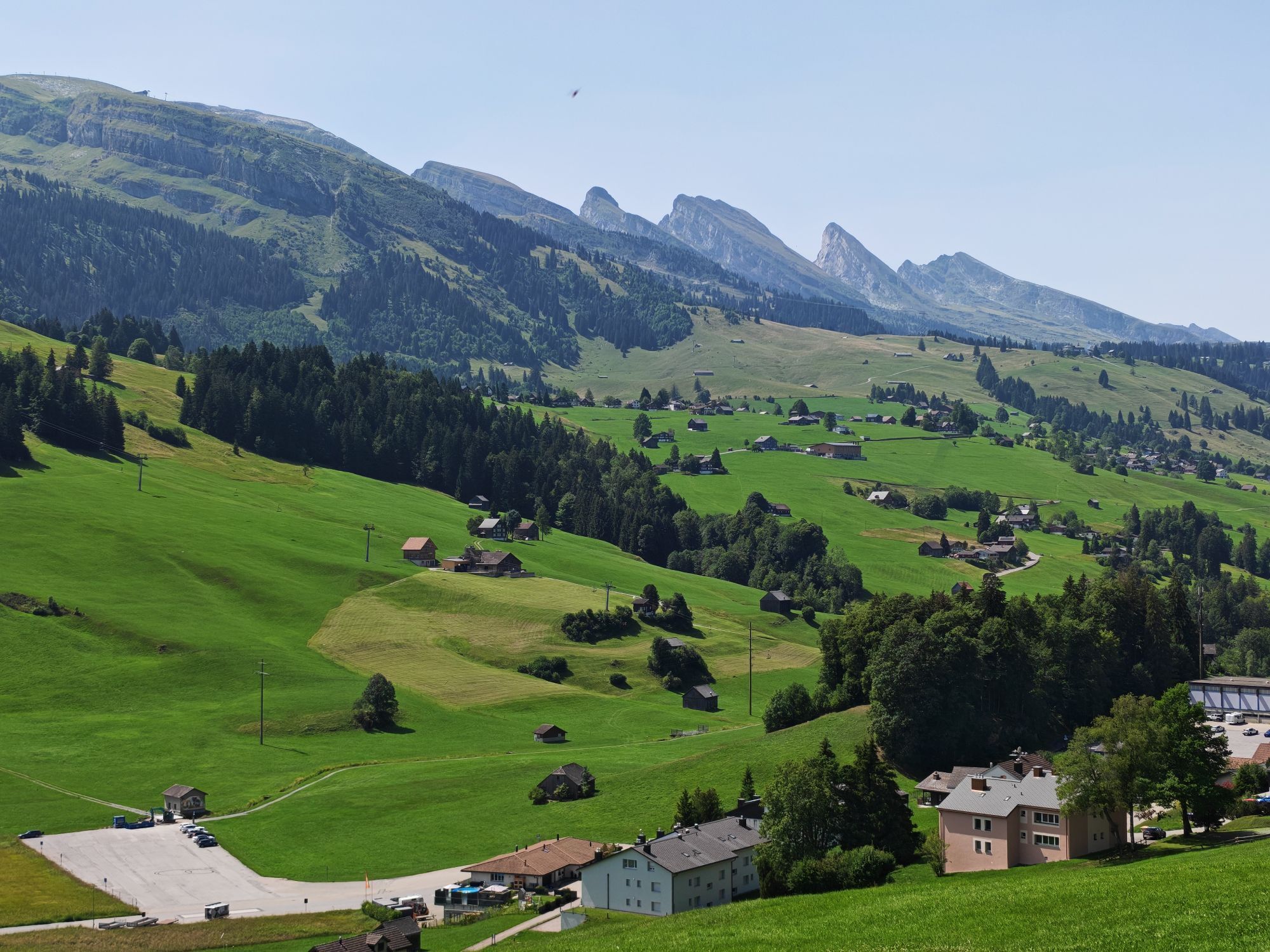
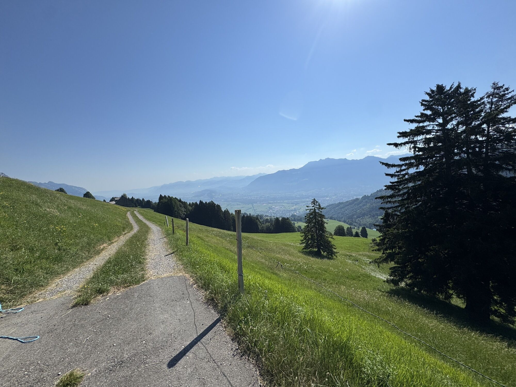

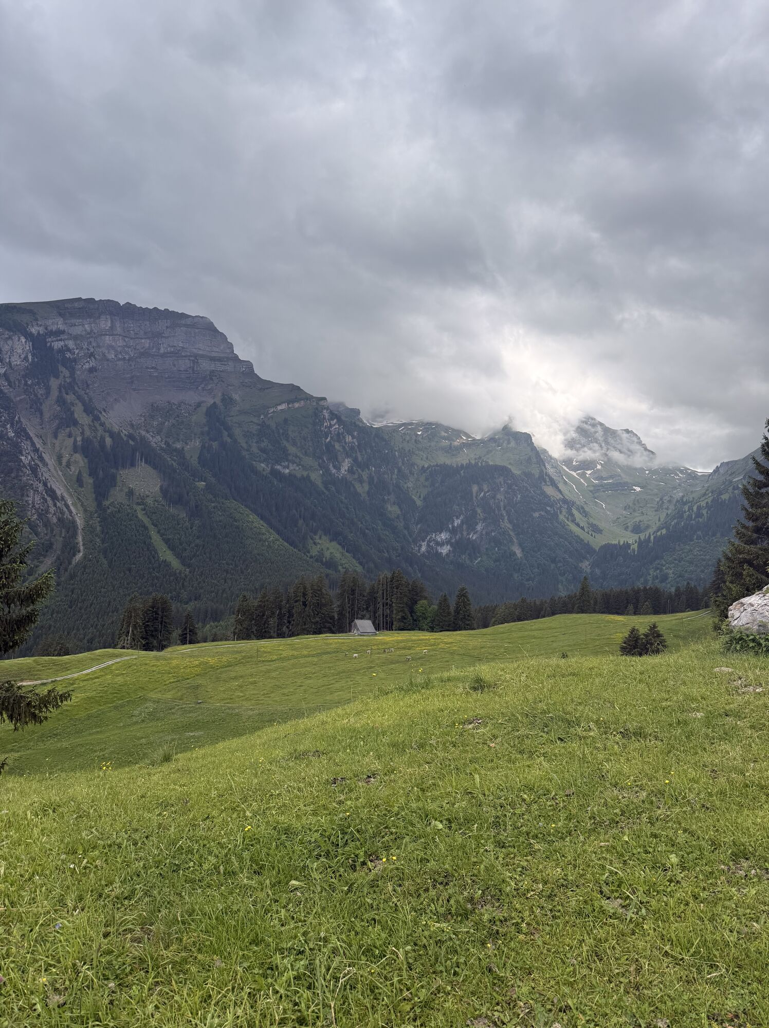

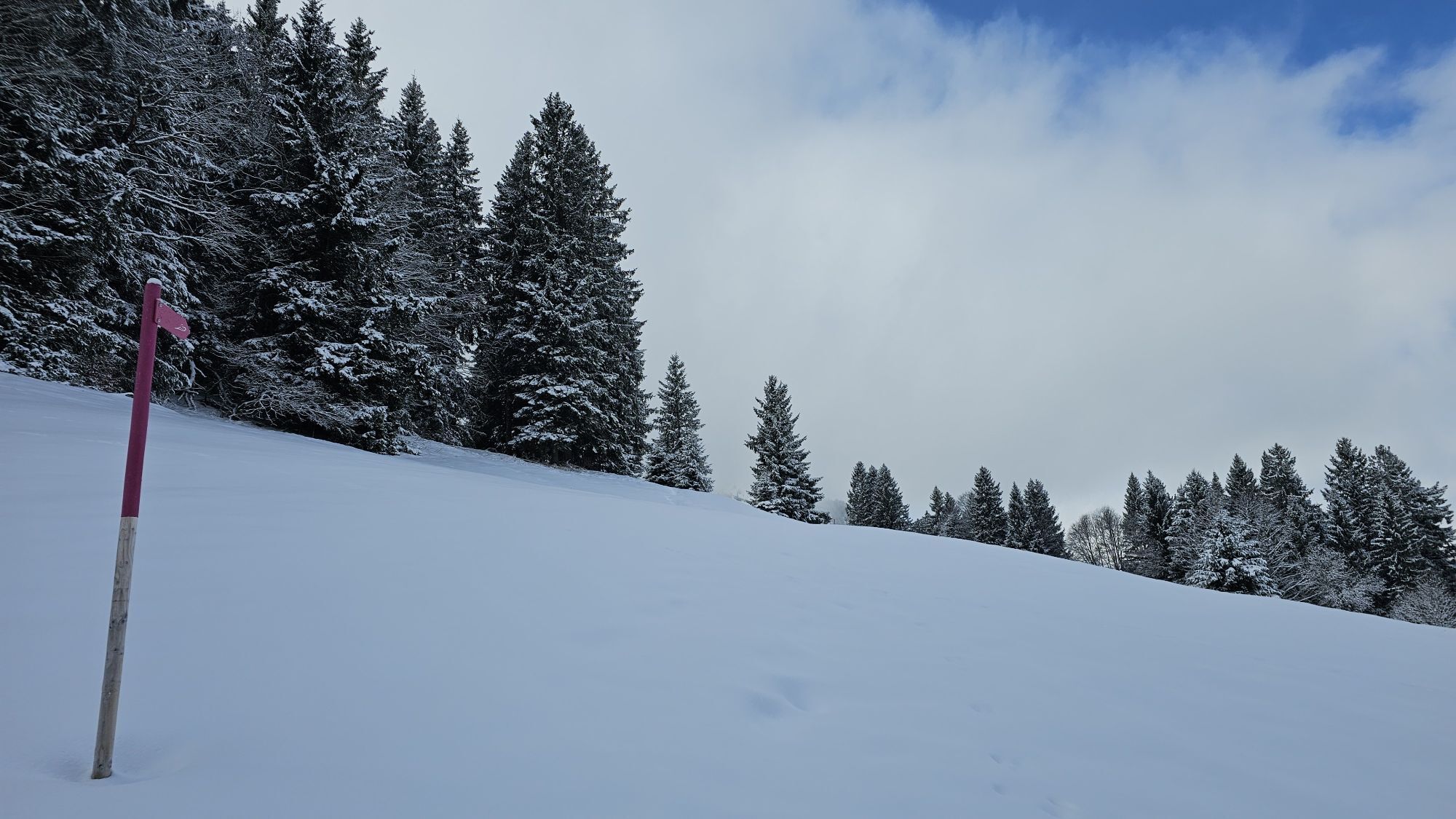
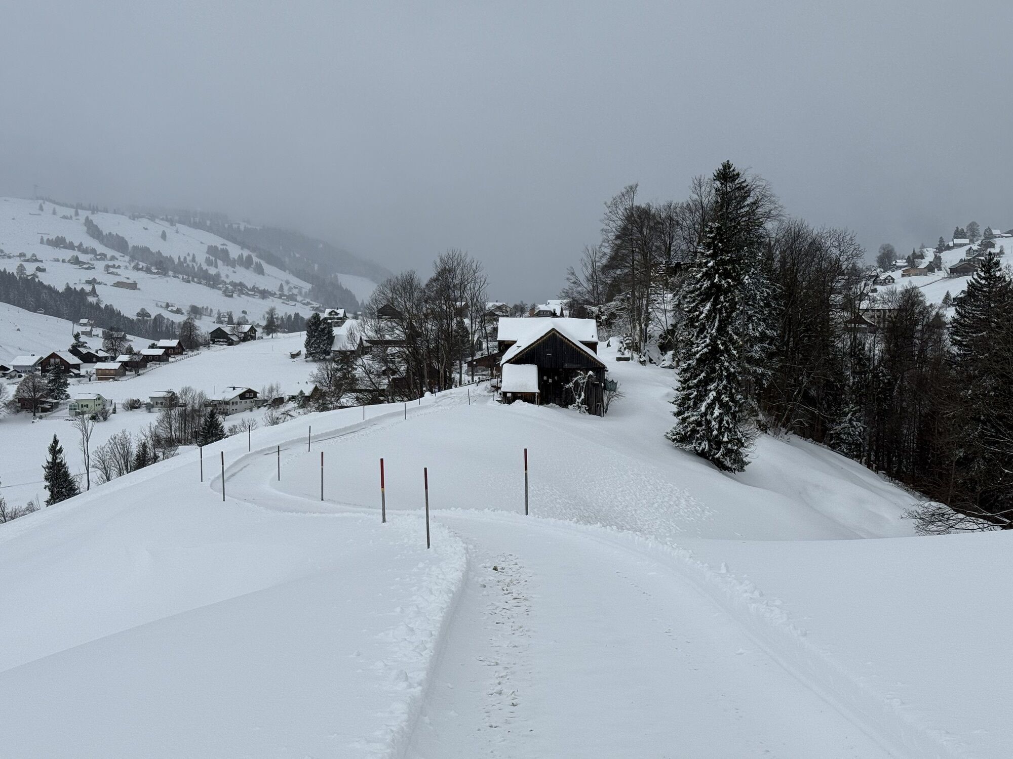
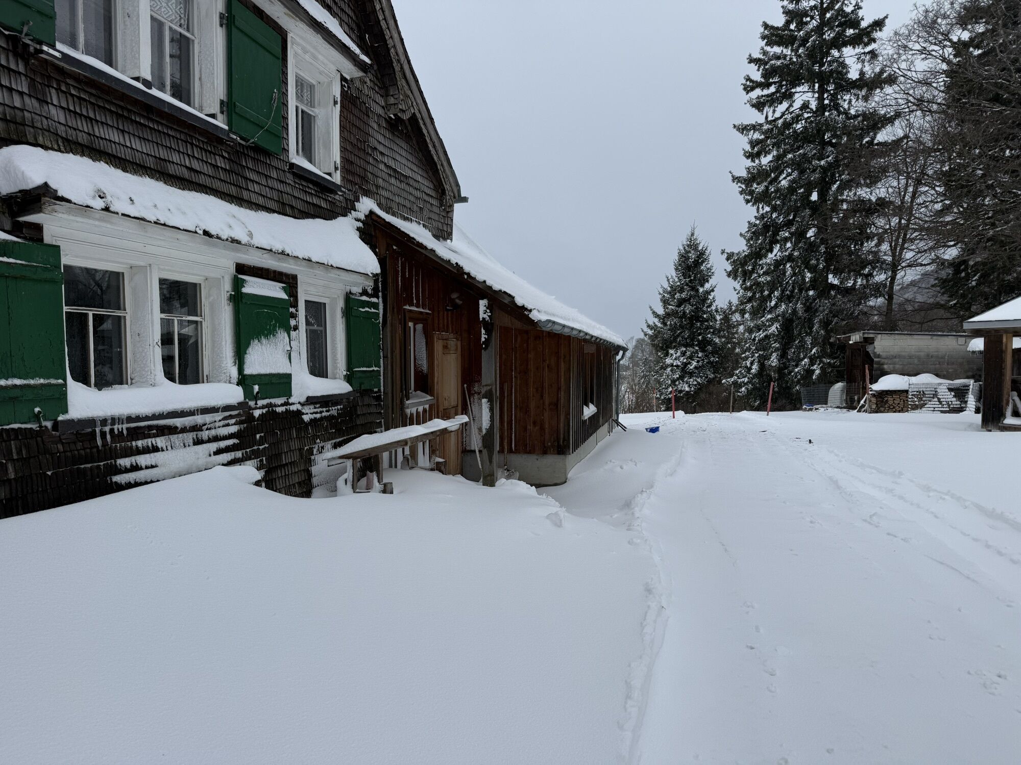

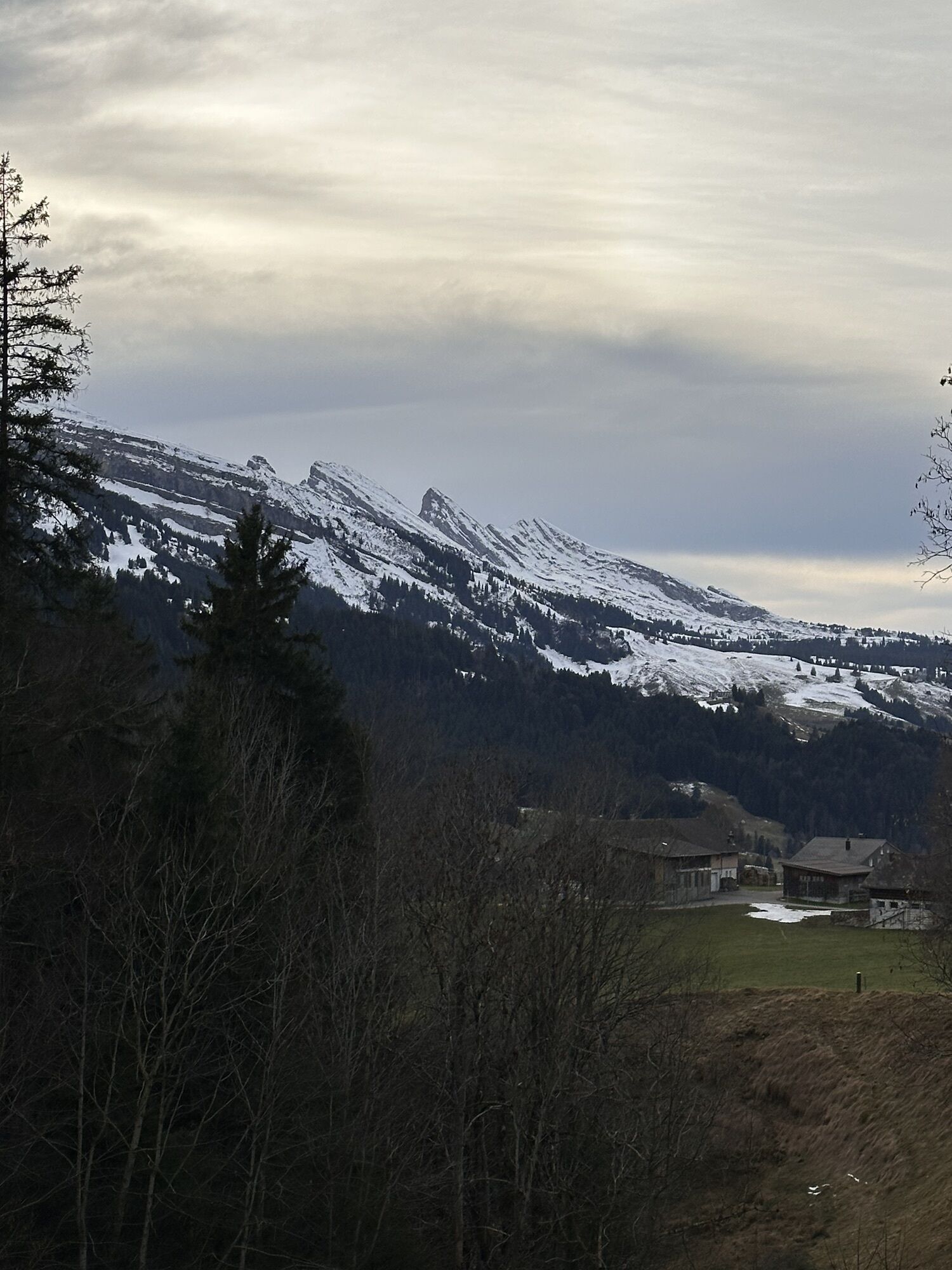
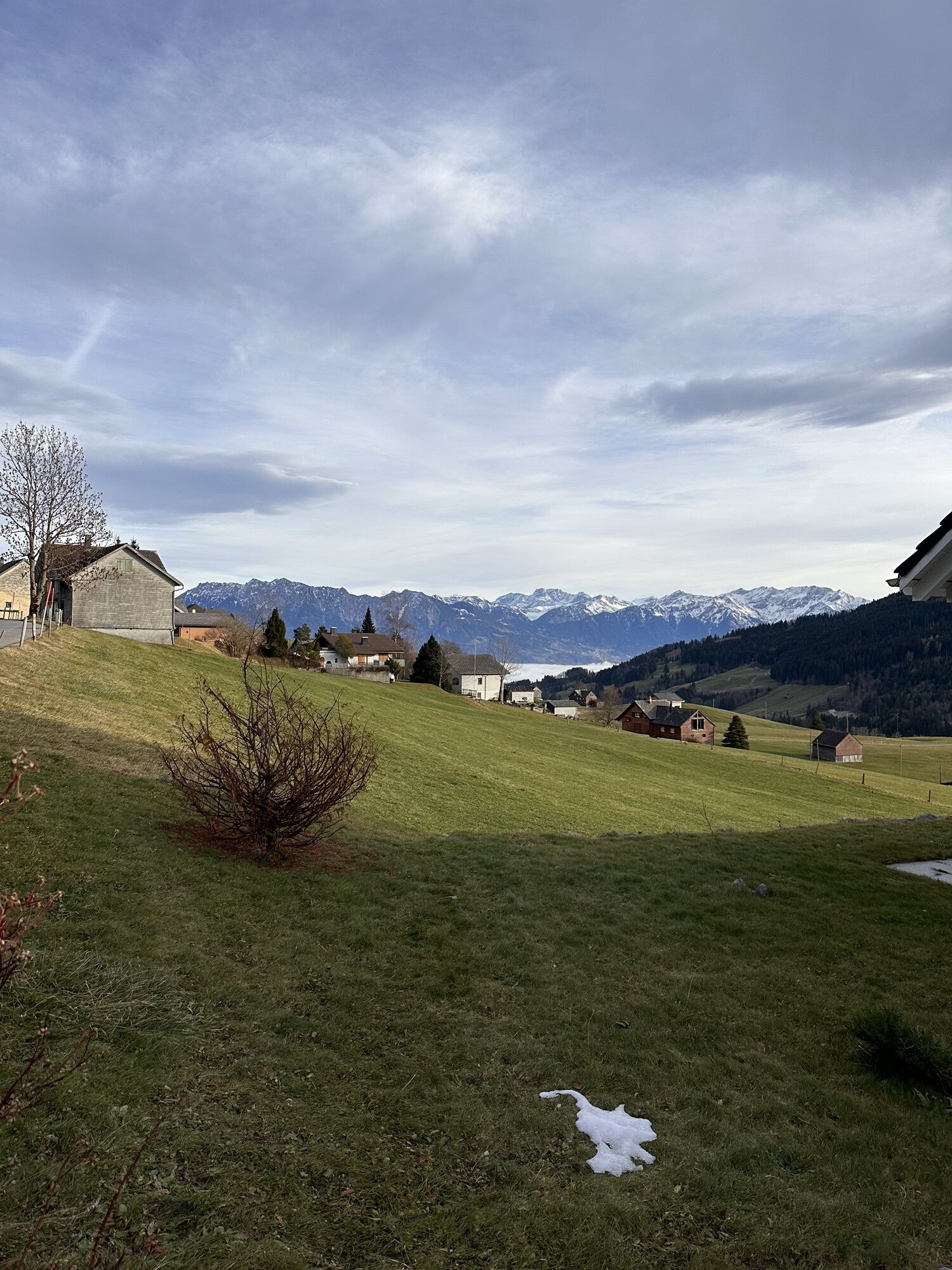

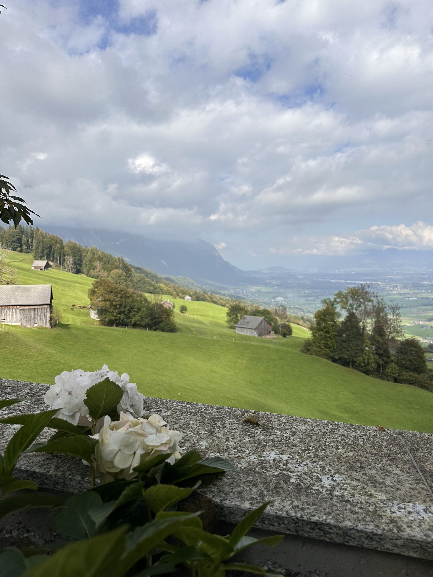
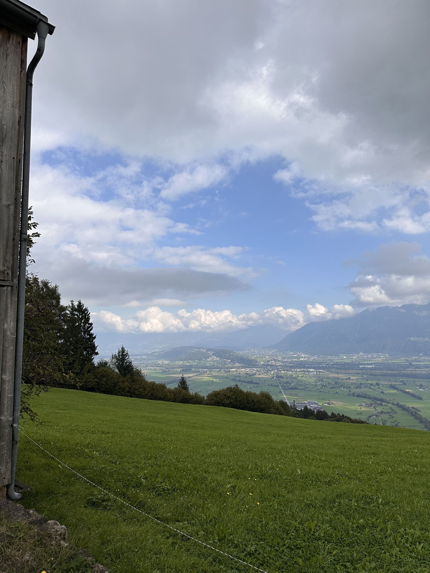
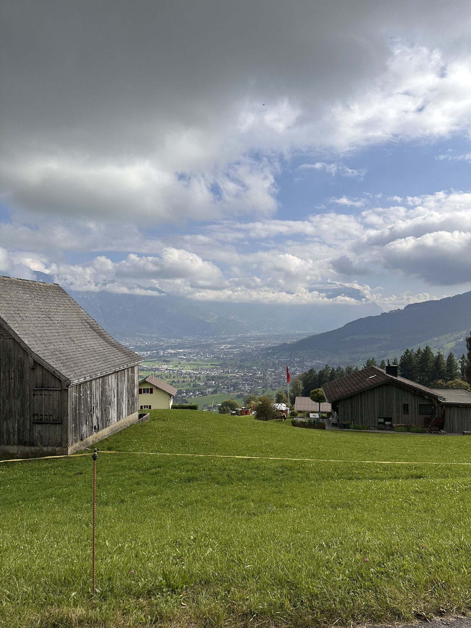


The Oelberg route is very demanding in terms of fitness. At the Wildhaus pass summit near the Post, the easy warm-up section towards Schönenboden begins. After three kilometers, the descent to Werdenberg,...
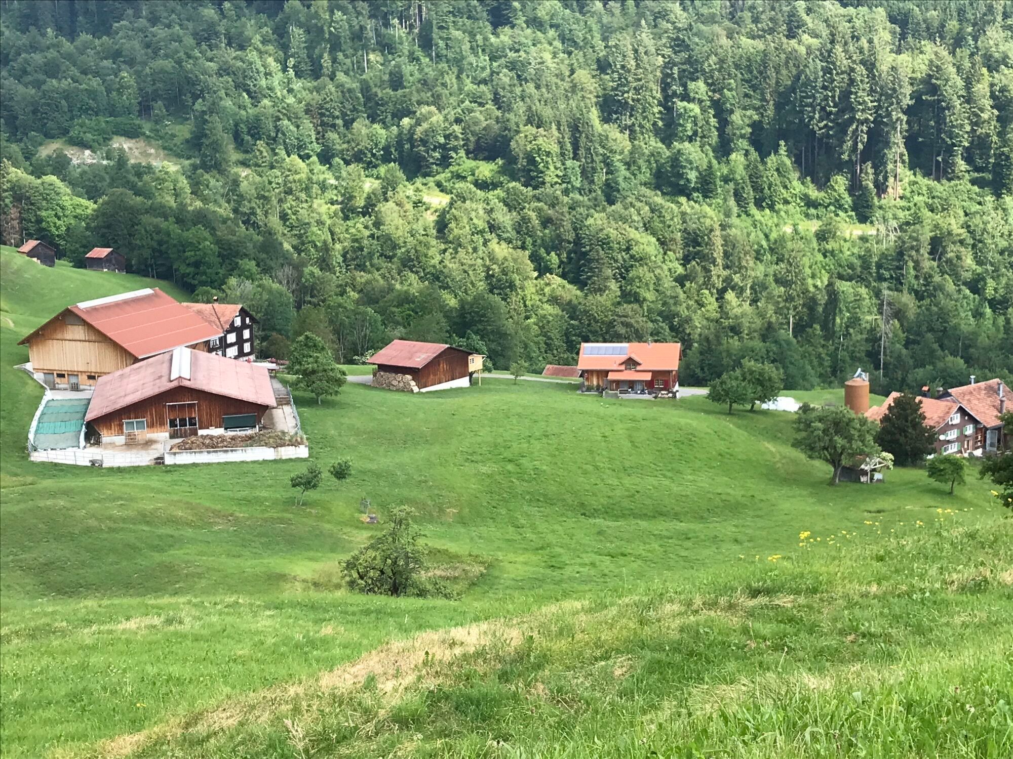
The Oelberg route is very demanding in terms of fitness. At the Wildhaus pass summit near the Post, the easy warm-up section towards Schönenboden begins. After three kilometers, the descent to Werdenberg, to Grabs, starts. First on the old Roman road, later on forest roads, it goes down to the main road. Be careful not to miss the turn in the hairpin bend Chretzibach towards Simmitobel. When water levels are low, you can cross the Simmi; otherwise, you have the pedestrian bridge. From Stockengasse in Grabs at the latest, the serious part begins. 14 kilometers lie ahead, on which you overcome 900 meters of altitude.
About one kilometer after Lehen, you are in the middle of the finish area of the former Herti ski downhill course, which only the old ski veterans know. This well-known downhill race took place regularly until 1980 - notably without ski lifts or cable cars!
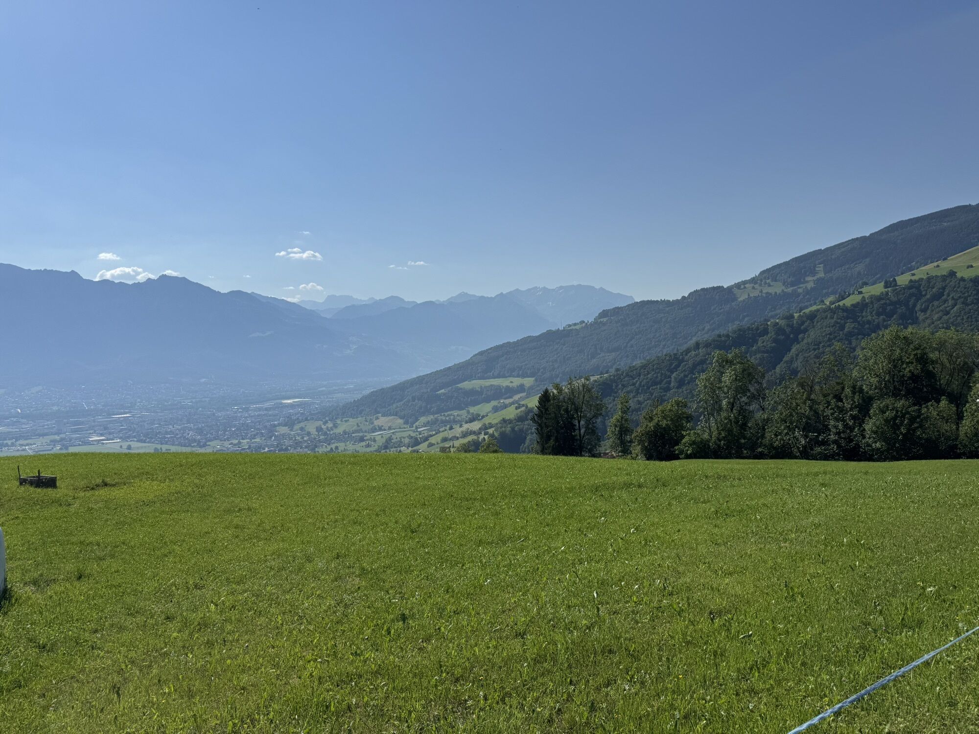
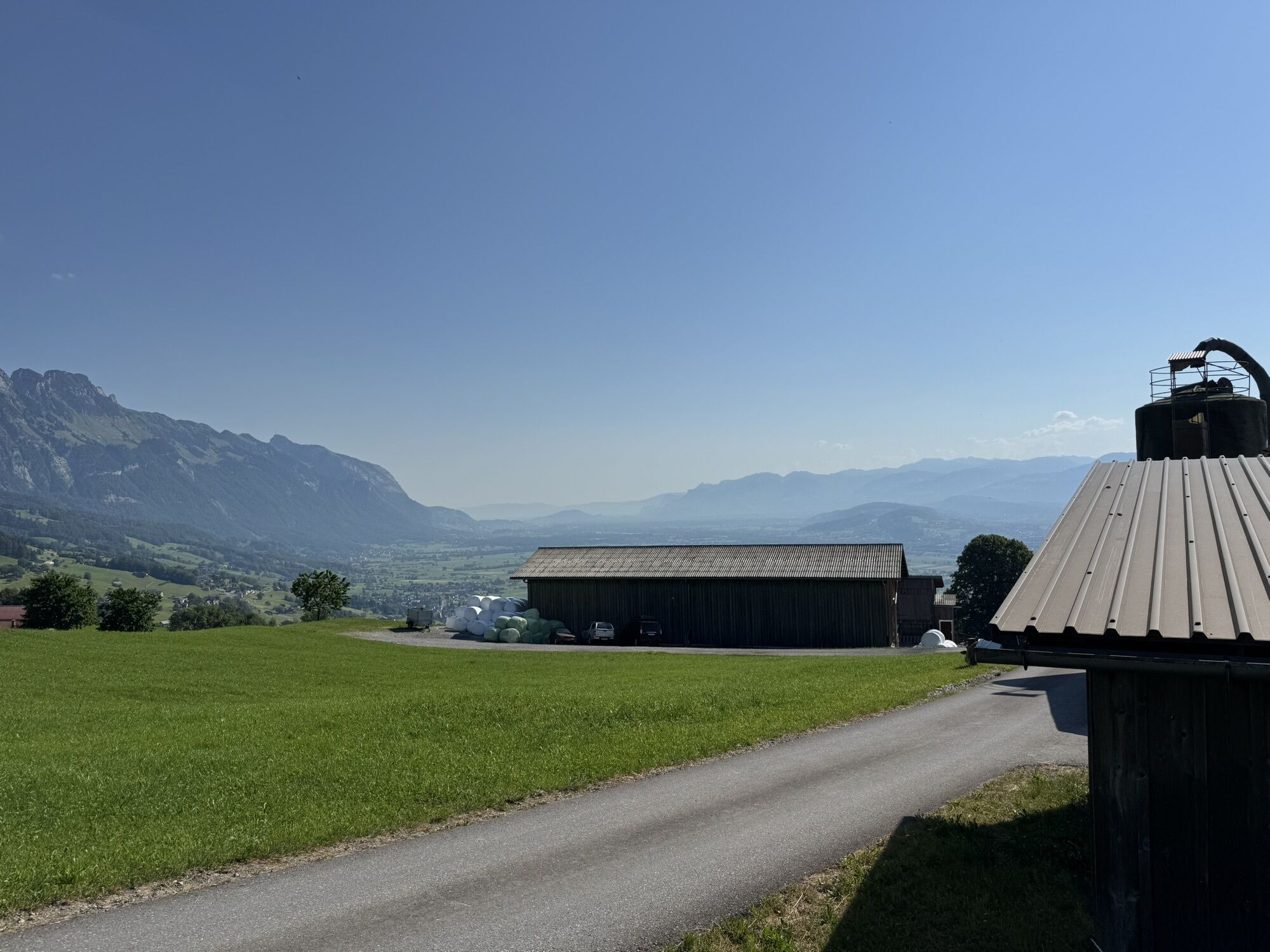
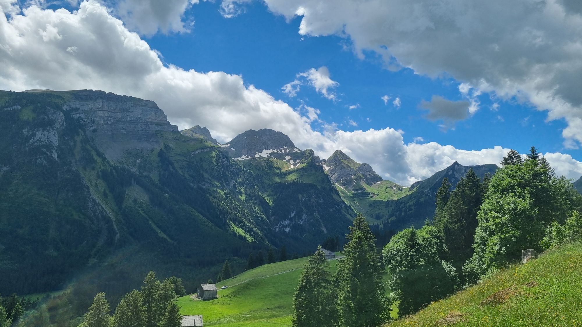
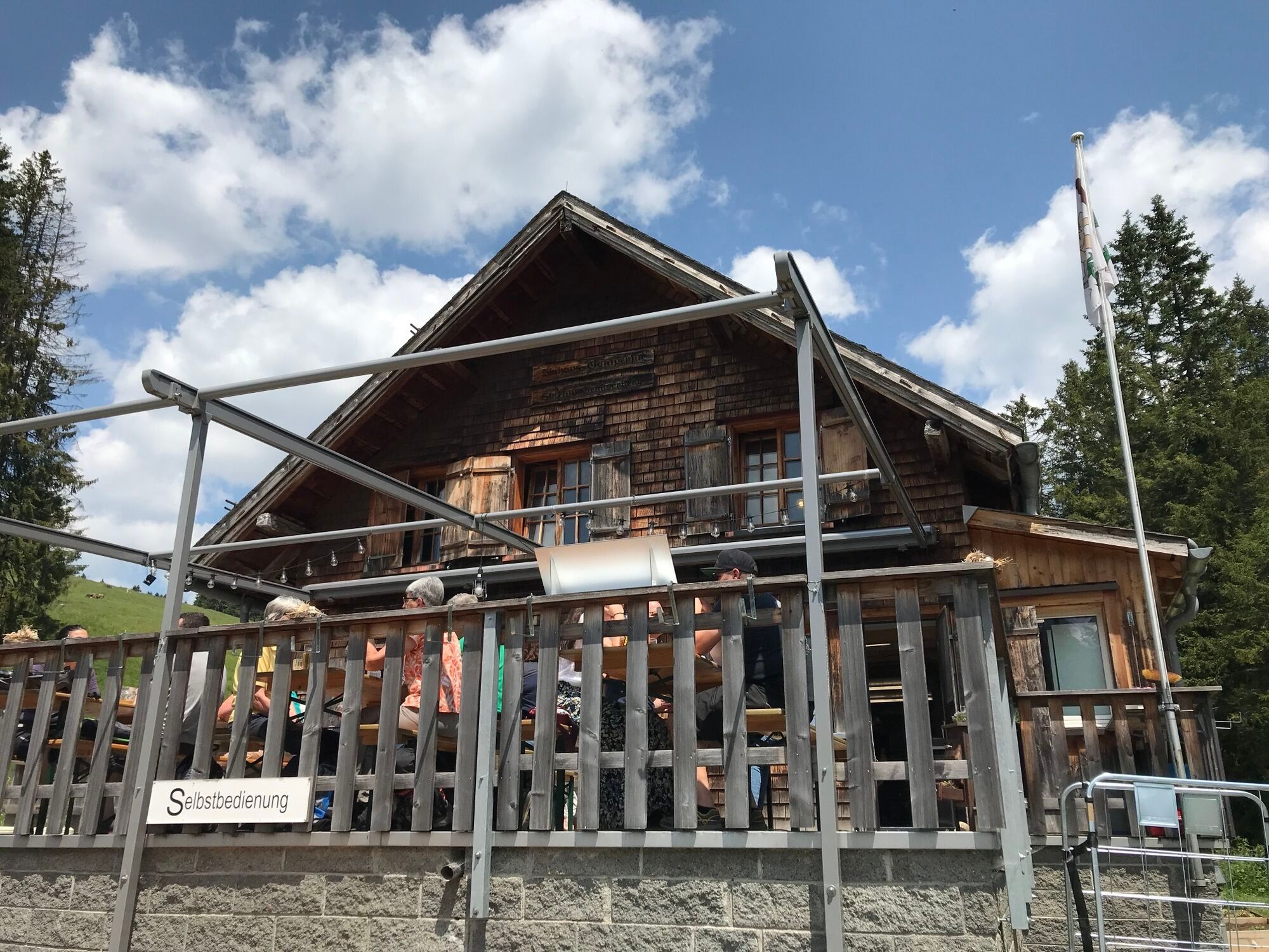
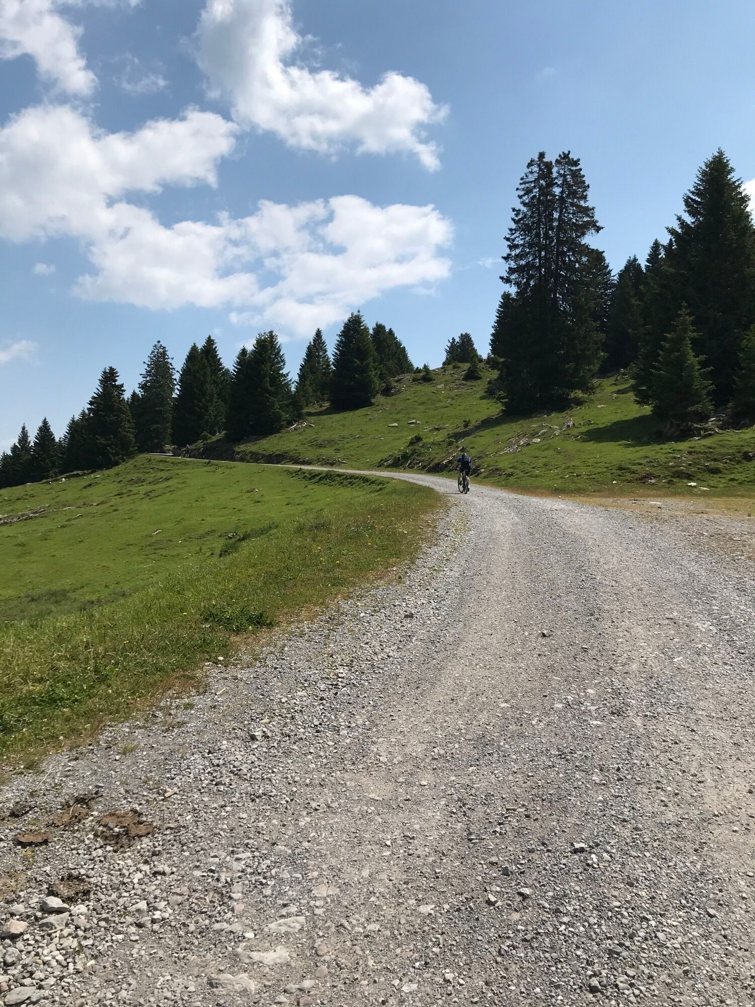
Over the Maienberg, you have the feeling the world belongs to you alone, and you can repeatedly let your gaze wander over the Rhine valley, Liechtenstein, and Vorarlberg. From Gamperfin, you ride on a gravel road and slowly but surely get closer to the mountain prize on Oelberg! Pat yourself on the shoulder; from now on, it mostly goes downhill! You comfortably continue on gravel roads towards Freienalp in the Wildhaus ski area. Before you arrive there, the route even leads over a single trail path. At the mountain restaurant Oberdorf, you can satisfy your hunger and thirst before the paved road allows a rapid ride down into the village. At the valley station of the Oberdorf-Gamsalp cable car, you pass the sports shop of former ski racer Karl Alpiger before a short climb to Lisighaus and the starting point Wildhaus village awaits.



Wildhaus - Gästelen - Hinterwald - Rotenberg - Zollhaus - Chretzibach - Lefersberg - Filier - Lehen - Gamperfin - Oelberg - Gatter - Freienalp - Schwendi Höchi - Oberdorf - Wildhaus
S1
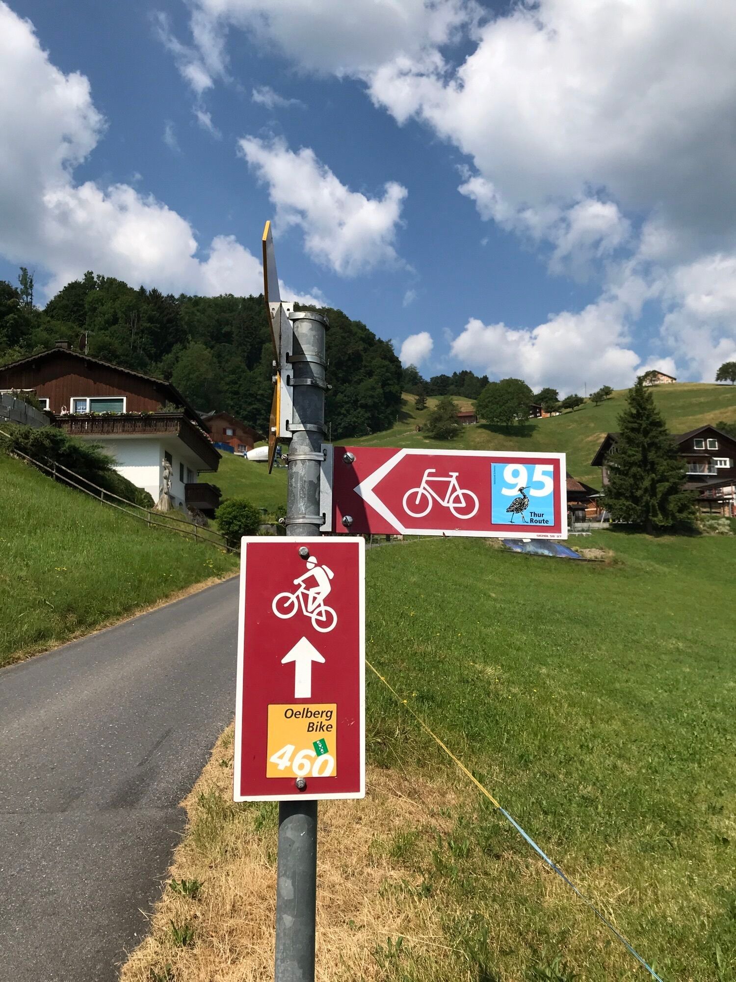
The routes are marked only in the direction recommended by bikers. Alpine farms/mountain restaurants may not be open daily. Check before the tour.

Webové kamery z prohlídky

Oblíbené prohlídky v okolí
-
4.7
Riviera Lake Walen Walenstadt-Quinten
středníTuristika 10.4 km -
5.0
Staubern-Runde (15.8.2021)
středníTuristika 8.65 km -
4.5
To the summit cross of the Alpspitz
středníTuristika 6.02 km -
4.9
Säntis-Gipfeltour, Wasserauen / Appenzell Innerrhoden
heavyTuristika 21.1 km -
4.8
Tour Brülisau - Saxerlücke - Hoherkasten⛰
heavyTuristika 16.6 km -
4.6
Wasserauen - Seealpsee - Wasserauen
středníTuristika 7.71 km -
4.6
Säntis
středníHorská turistika 17.5 km -
4.6
Alvier
středníTuristika 3.33 km -
4.9
From Malbun to the Schönberg
středníTuristika 12.4 km -
4.8
Schwende, Appenzell Innerrhoden
středníTuristika 11.8 km
Pěší turistika a stopování


Nenechte si ujít nabídky a inspiraci pro vaši příští dovolenou
Vaše e-mailová adresa byl přidán do poštovního seznamu.


