





St Olav Ostrobothnia (S) 9/10, Malax-Solf
A relatively long stretch, which in windy and rainy weather can be challenging, especially on the plain of Söderfjärden.
The trail leaves Malax on asphalt along Byåkersvägen and Storåkersvägen. On the other...
The trail leaves Malax on asphalt along Byåkersvägen and Storåkersvägen. On the other side of Strandvägen (673), the surface changes to gravel on Tuvasvägen. About 5 km from the church, you cross the Malax river on the bridge Dimmornas bro. After a few hundred metres, the trail turns right to Kaasastået, later to the left to Mickelstået and enters the Åminne hiking trail through the forest.
At Åminne folkpark and holiday village there is a rest area and accommodation possibilities.
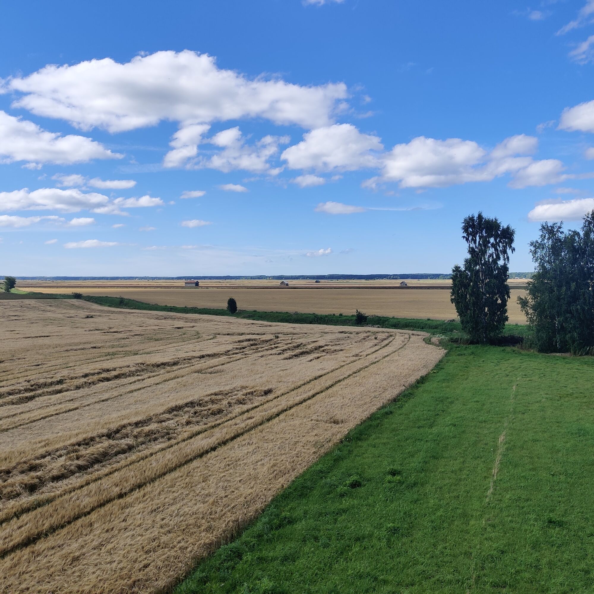
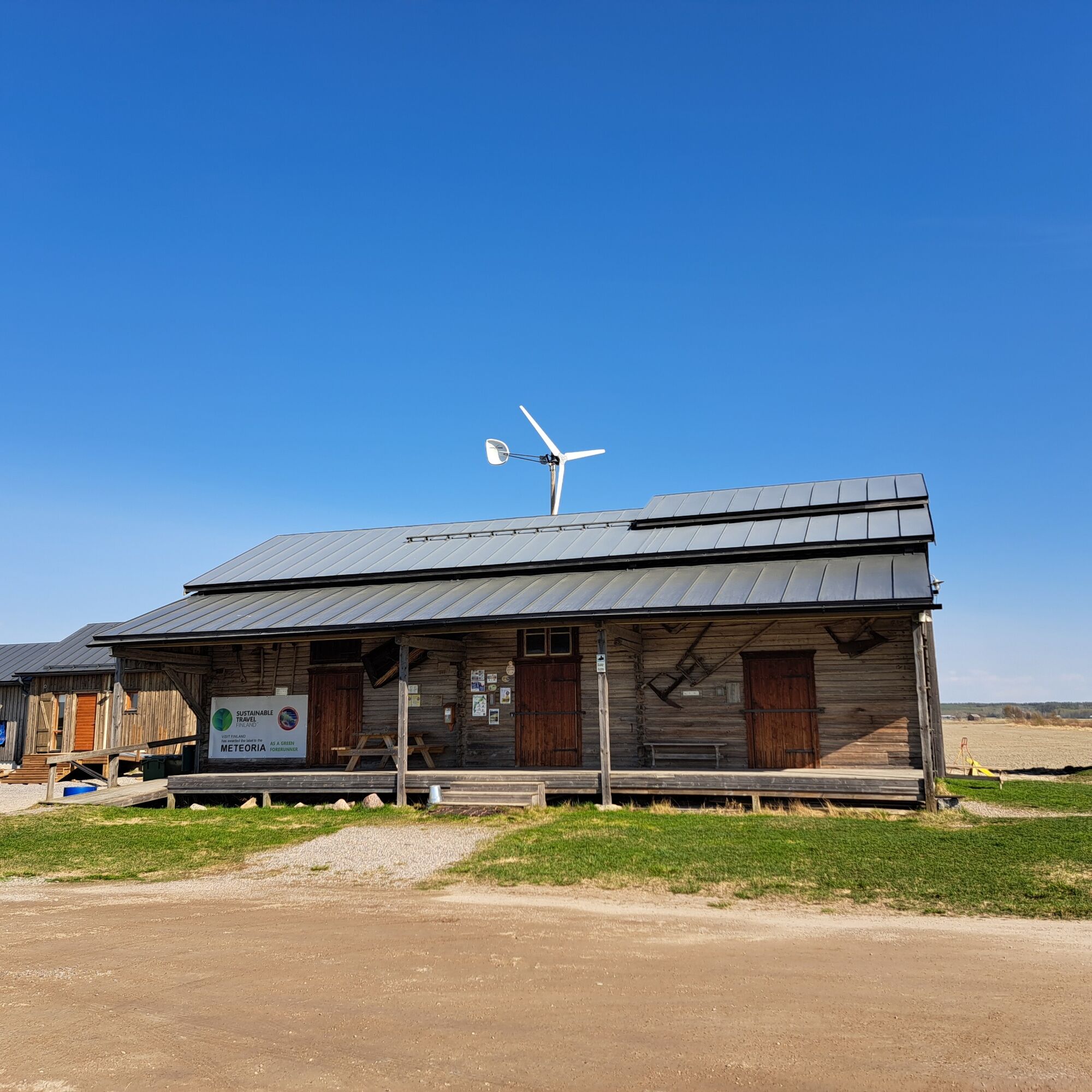
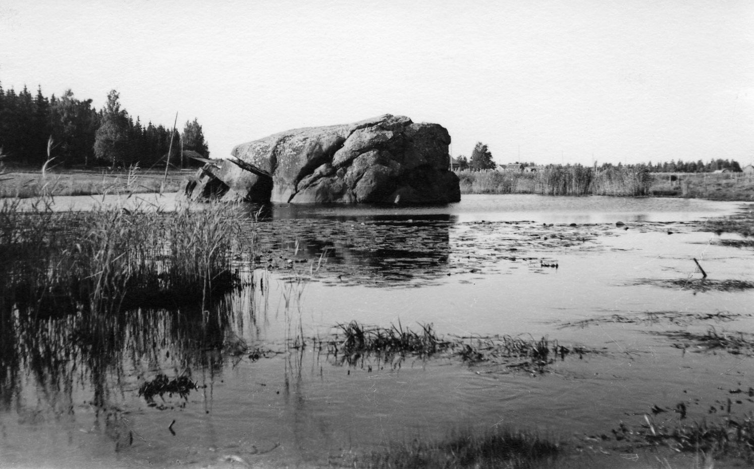
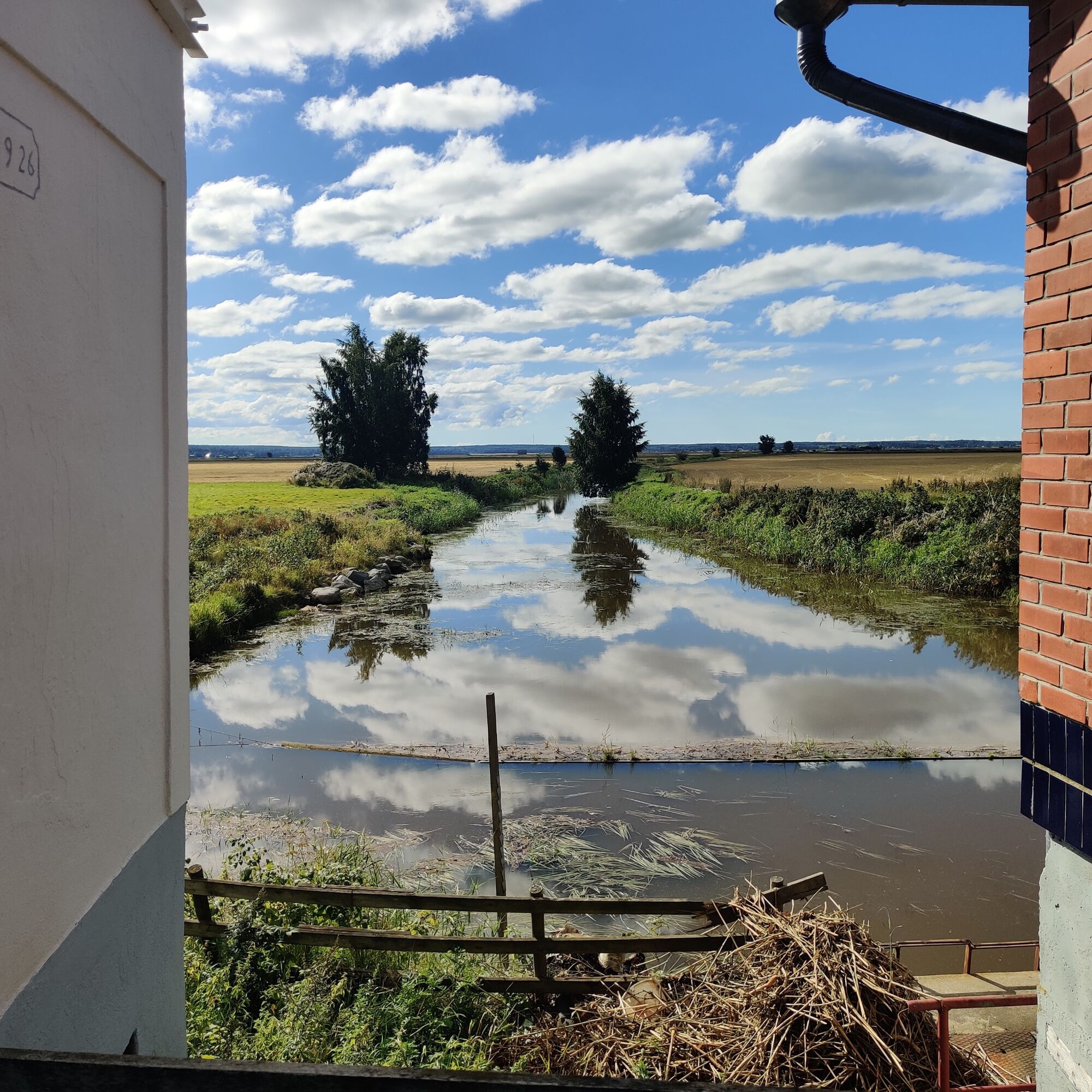
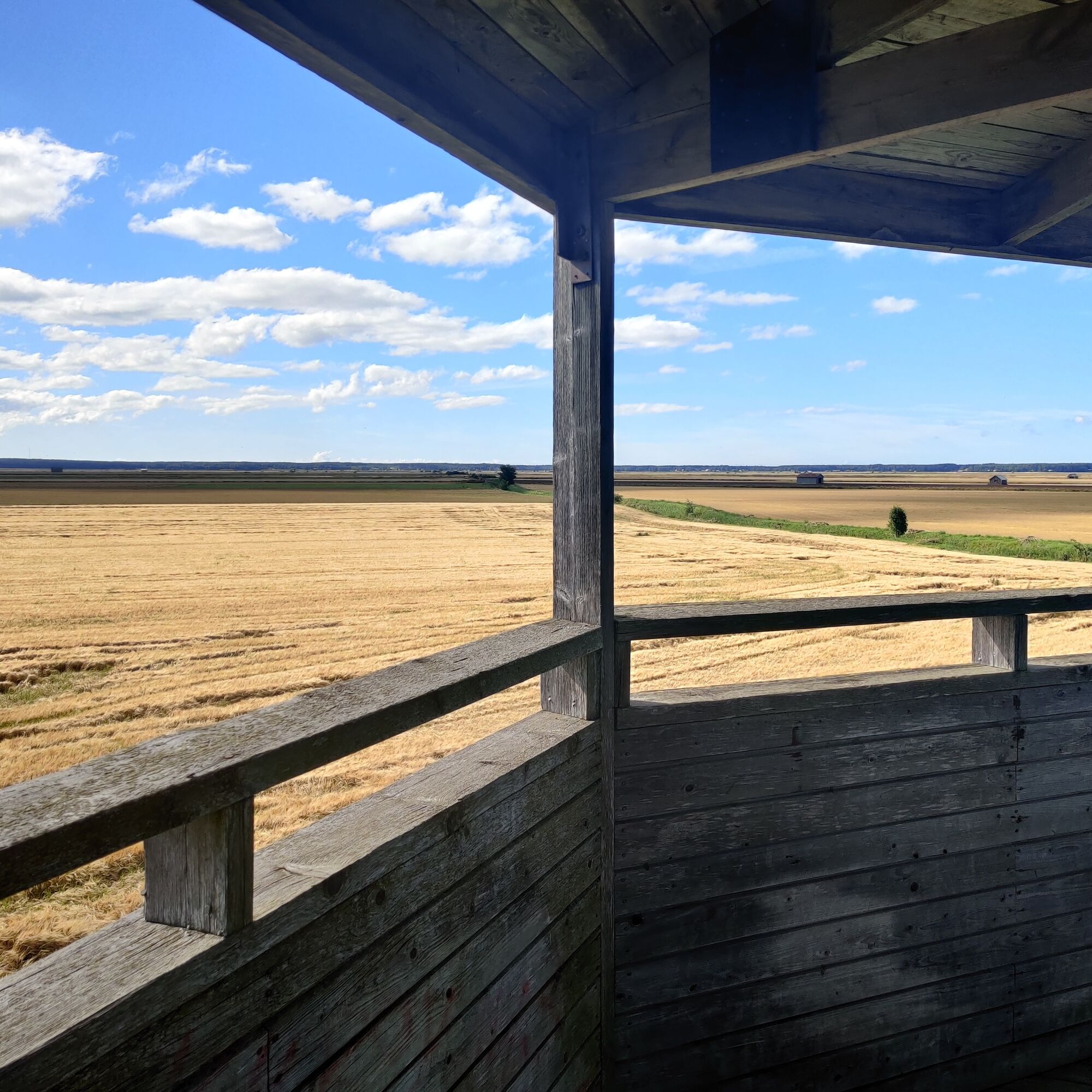
After Åminne you can get a glance at the allotment area and continue along the forest roads. Via the Malax Söderfjärdsvägen you arrive to the plain of Söderfjärden, a 500 million year old, circular meteorite impact site. Here, below sea level, hikers can experience the ultimate Ostrobothnian plain! A visit to the Meteoria exhibition to learn about the history of the crater is recommended!
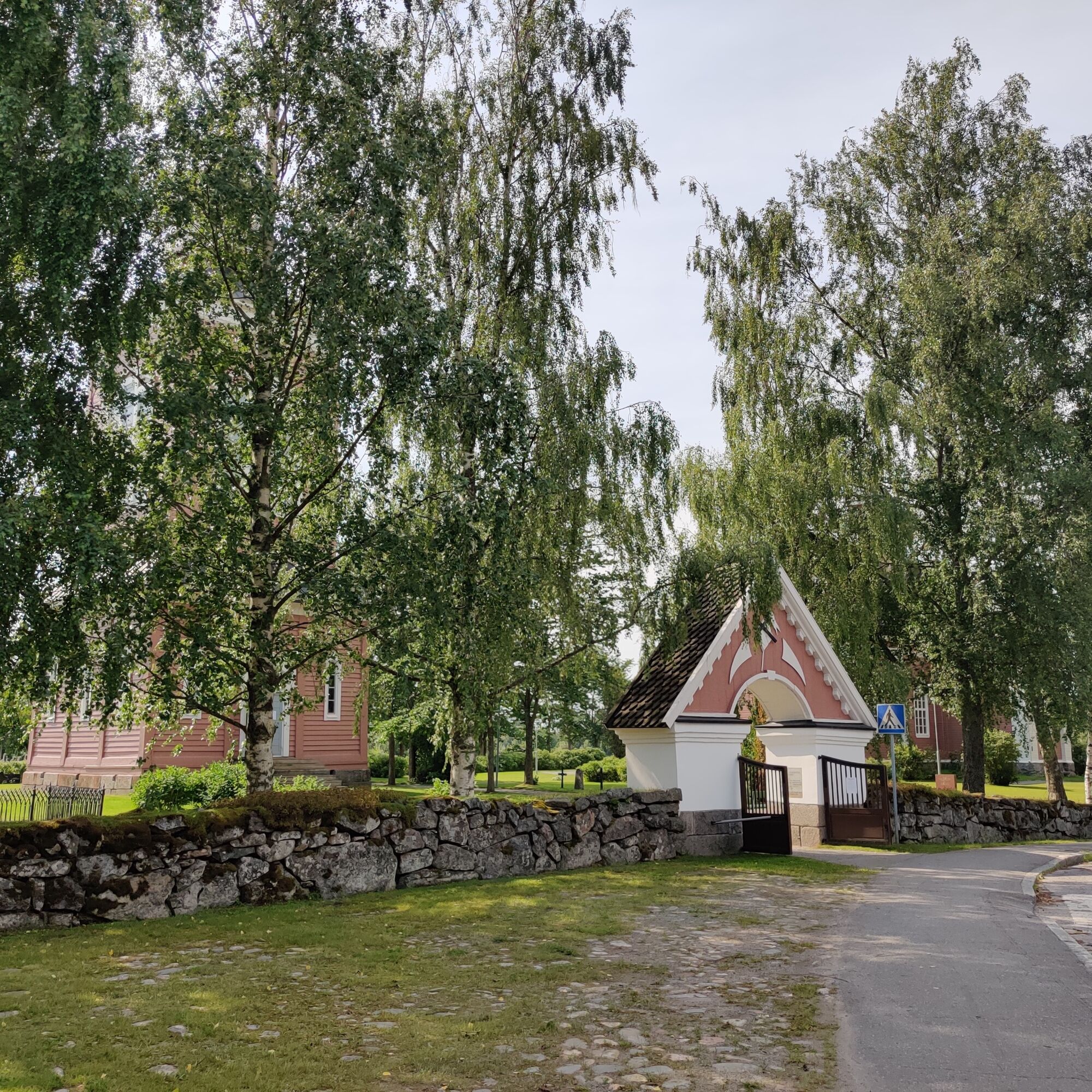
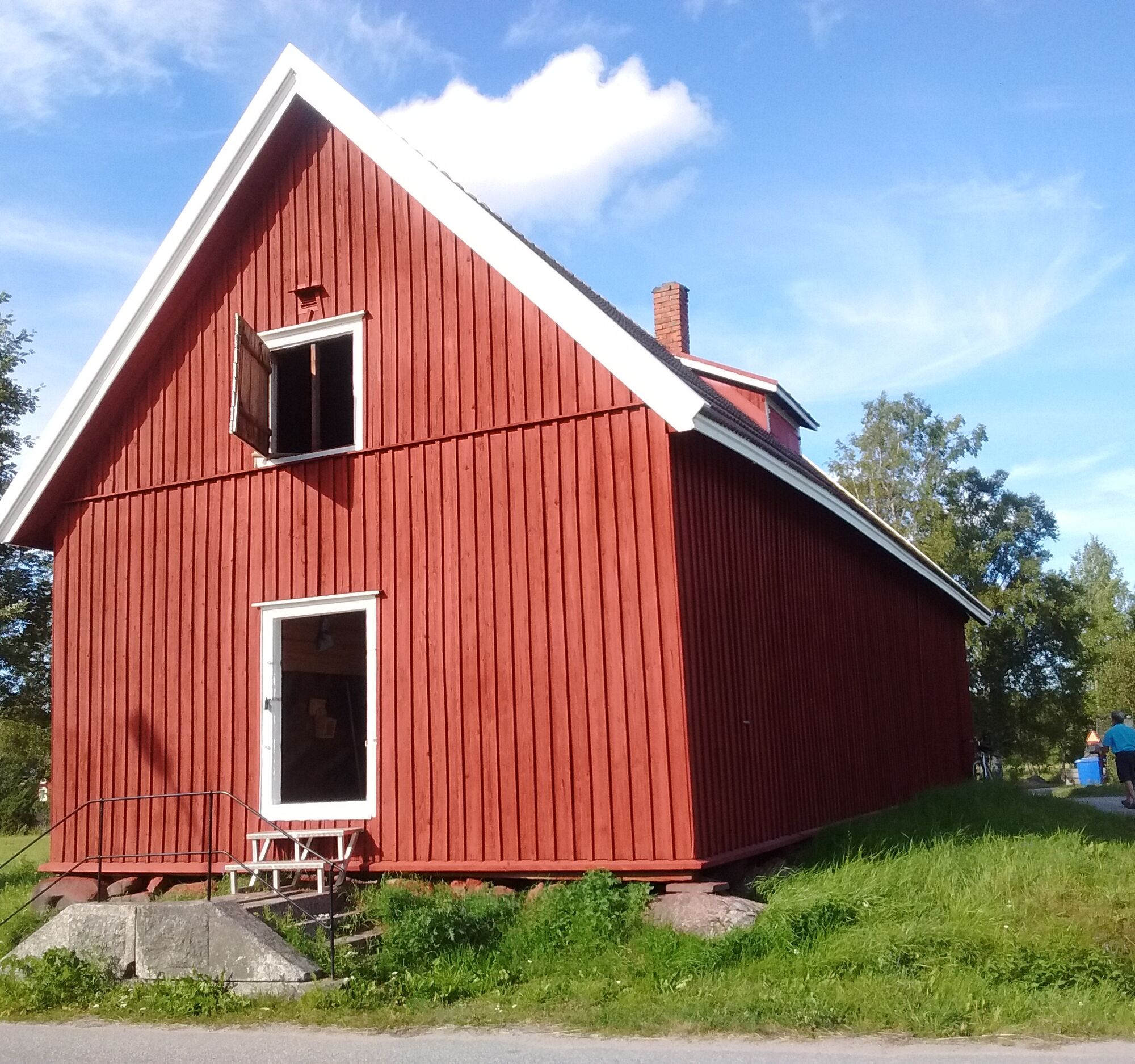
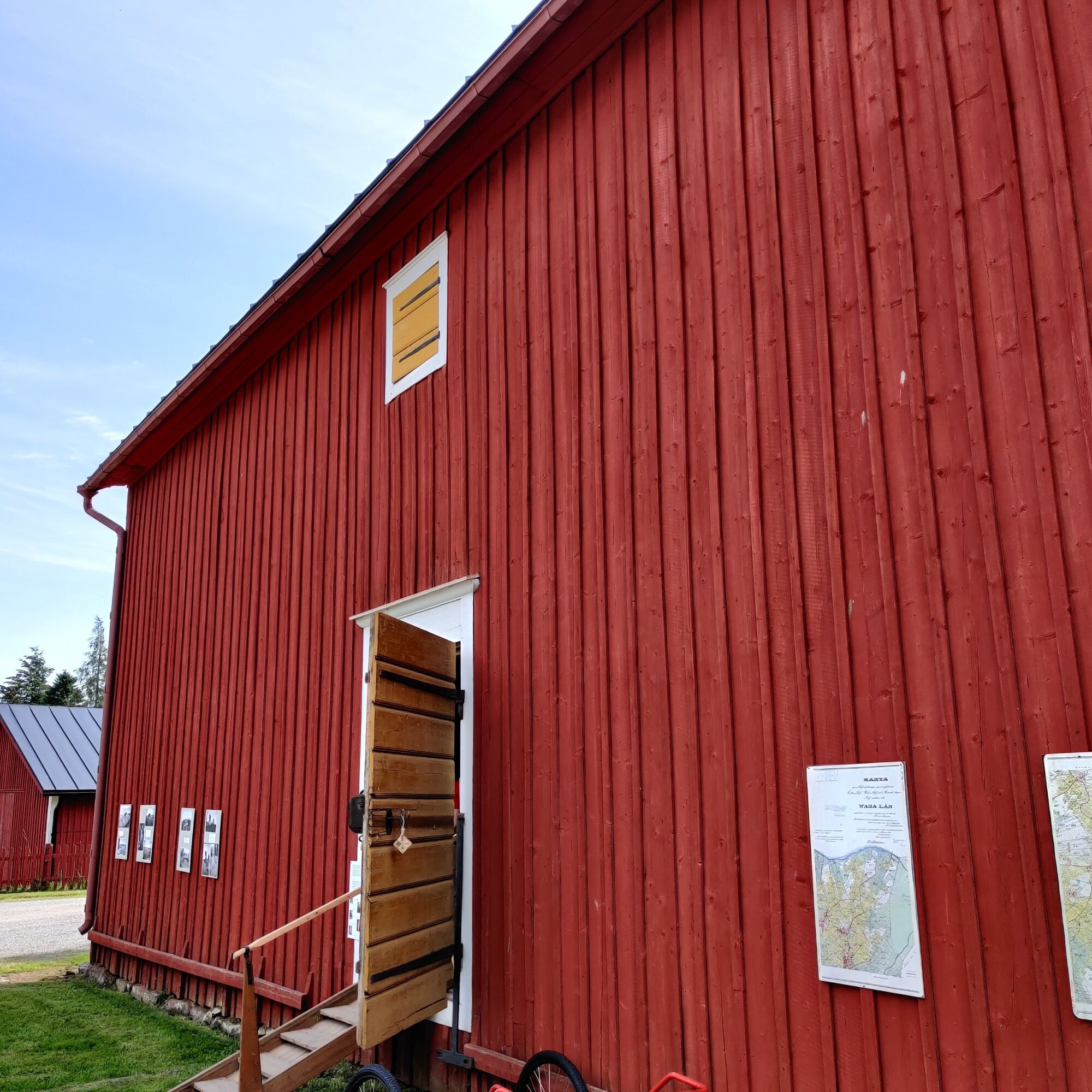
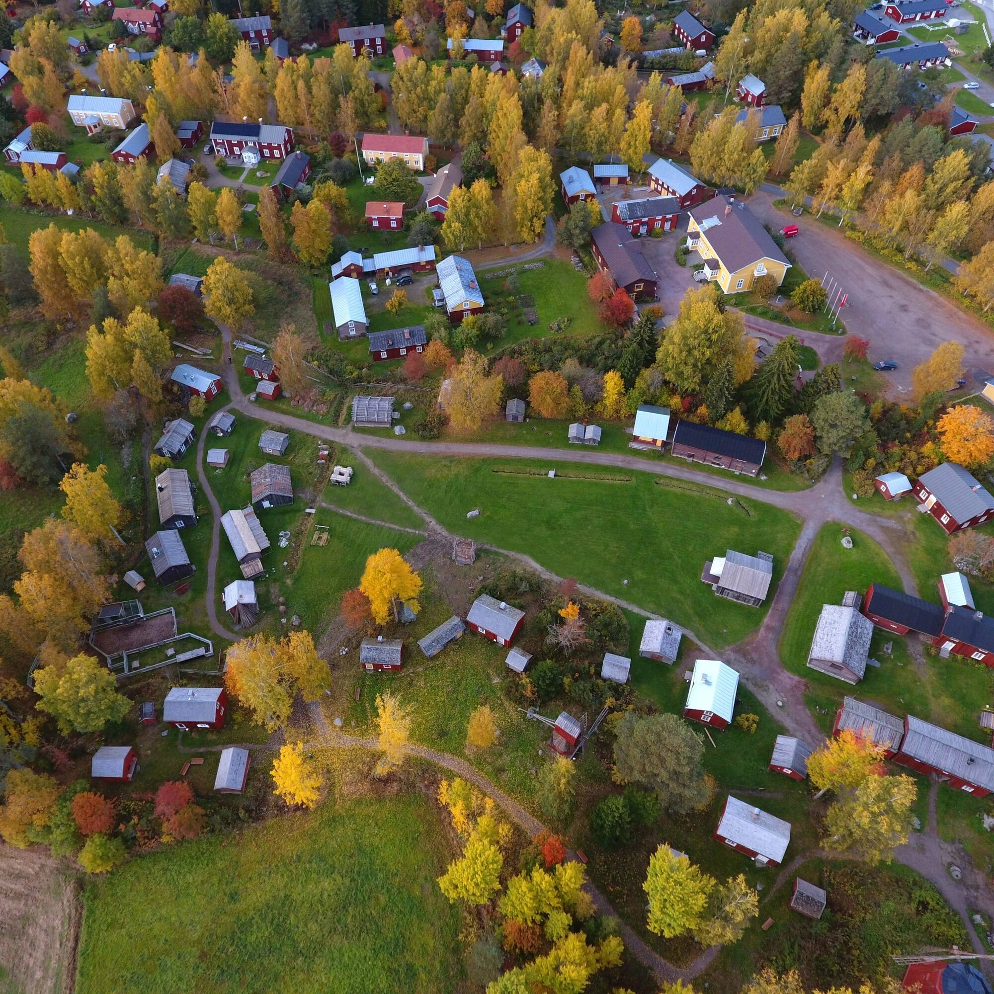
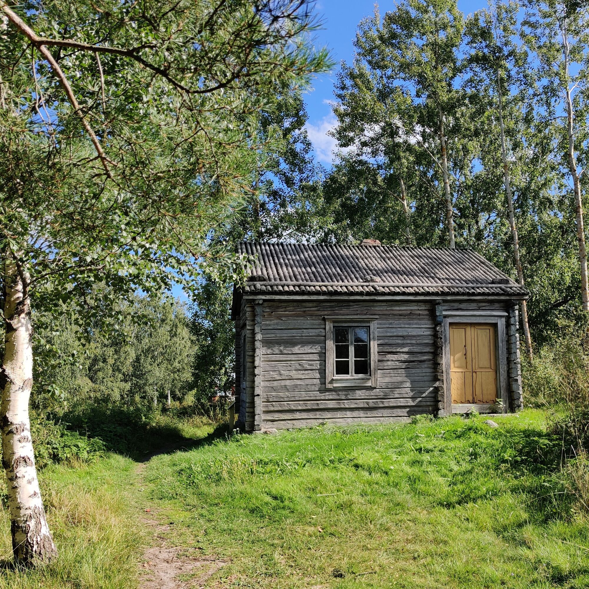
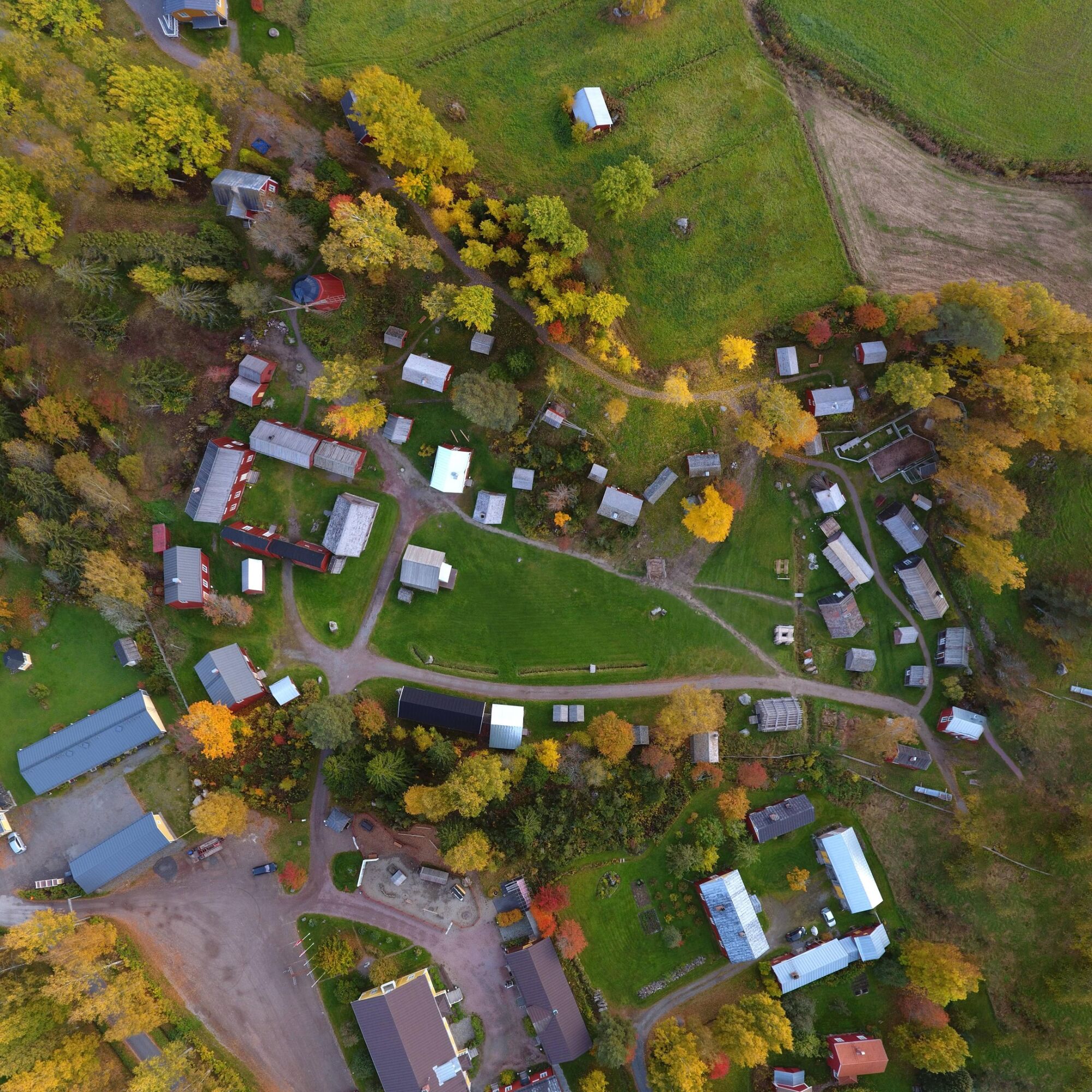
The final stretch of the hike takes you through Stundar's open-air museum towards Solf church and centre.
INFO SOLF
Gården (accommodation)
M-Market Solf (food)
Ines Market (vegetables etc.)


Oblíbené prohlídky v okolí
-
St Olav Ostrobothnia (N) 11/11, Veikars-Vasa
světloPoutní stezka 21.8 km -
St Olav Ostrobothnia (S) 10/10, Solf-Vasa
heavyPoutní stezka 23.0 km -
St Olav Ostrobothnia (S) 8/10, Petalax-Malax
středníPoutní stezka 17.2 km -
Vaasa
světloTematická stezka 4.50 km -
Tölby - Tallbacken - Solf - Fredrikas
středníTuristika 14.4 km -
Vanha Satama - Risön lintutorni - Kuninkaankartano - ABC Vaasa
středníTuristika 12.2 km -
Korsholm - Bockholmsbacken - Hattnötbacken - Höstvesi
středníTuristika 12.8 km -
Karkmo - Smedisbacken - Toby - Marasbacken
středníTuristika 14.7 km -
Översundom - Öjberget
světloTuristika 5.52 km -
Karkmo - Hagnäsbacken - Toby - Skurasbacken
světloTuristika 7.92 km

Pěší turistika a stopování


Nenechte si ujít nabídky a inspiraci pro vaši příští dovolenou
Vaše e-mailová adresa byl přidán do poštovního seznamu.





