







Maison de Payrac
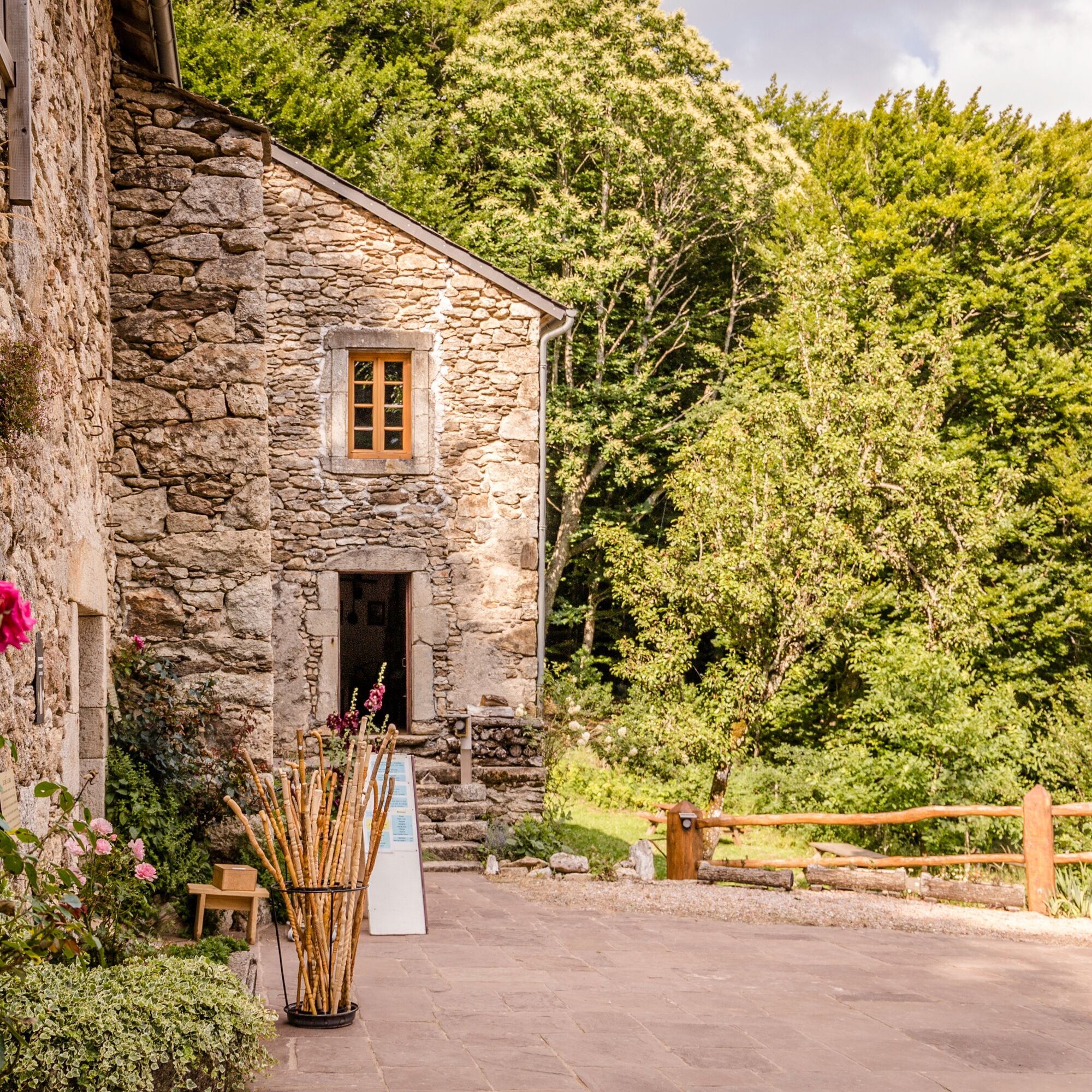
The Maison de Payrac is a farm that was abandoned in 1920. It had been built a century earlier, on the edge of the forest, in an exceptional site at an altitude of 950 meters. The style is characteristic...
The Maison de Payrac is a farm that was abandoned in 1920. It had been built a century earlier, on the edge of the forest, in an exceptional site at an altitude of 950 meters. The style is characteristic of the constructions of the time: stables and cellars with beautiful rooms covered with stone vaults on the ground floor; barns and living quarters on the upper floor. The slope of the land allowed carts direct access to the barns.


Point 2: Cross the RD62 and climb straight ahead to enter a magnificent beech forest. At the intersection, go right. After the descent, turn left to pass between meadows. At the crossroads, go right along a rocky path before joining another track (beautiful lake view).
Point 3: Follow the track to the left for 400m. At the intersection, a few meters after a wide left bend, go right. Leave a track that immediately climbs right to continue straight on for 350 m. Join another track and continue the ascent up to a wide crossroad of several tracks.
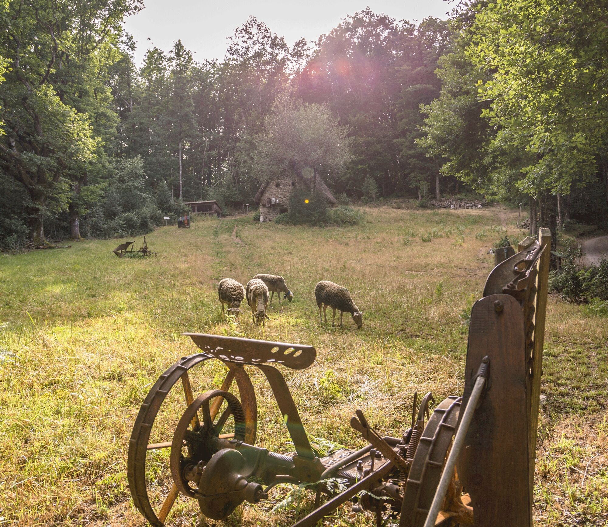
Point 4: Continue straight to reach Maison de Payrac below. Continue the trail after the barbecue to the mobile saw, turn right, climb to see the jasse and its fittings, continue the trail that climbs. Pass in front of a charcoal kiln.
Point 5: Back at the wide crossroad, take back the outward path for 200 m. At the first intersection, go right. The track descends for 800 m, crosses a ford, climbs again 100 m further on, continues to the right, then climbs left to rejoin the outward path. Descend and retrace your steps to return to the point then to the starting point.
Clothing suitable for the season and conditions (cold, hot, humid...)
Hiking shoes adapted to the terrain (even for children!)
Hiking poles (useful for stability and to relieve joints)
Mobile phone and spare battery
Before setting out:
Check the general and local weather, ensuring no precipitation is expected Inform yourself about the approach walk, itinerary altitude, duration, and possible escape routes (IGN map, GPS, guidebook, etc.) Assess possible risks by consulting mountain professionals, refuges, or lodgings Inform a close contact of your plans and update them if anything changes: departure and return times, number of participants with each person’s phone number, vehicle(s), parking Avoid going alone, use equipment suitable for the activity, properly adjusted and in good condition, headlamp, complete first aid kit, survival blanket, etc.In case of problem, call 112 (European emergency number)
An error on this sheet? Write to the owner by mentioning these references:
Sheet name: Hike "Maison de Payrac" | Sheet ID: 792439 | URL (link) of this Outdooractive page.
Oblíbené prohlídky v okolí
-
5.0
HIKING ROUTE OF THE TERRASSES DE L'ESPINOUSE
středníTuristika 16.8 km -
4.0
LEGENDS TRAIL HIKE
středníTuristika 11.4 km -
4.0
LAUZE HIKE
středníTuristika 9.41 km -
3.0
CYCLE LOOP No. 29 - FROM THE VALLEYS TO THE PEAKS OF HAUT-LANGUEDOC
středníJízda na kole 64.3 km -
TOUR DE LAC DE VESOLES HIKE
světloTuristika 6.27 km -
HIDDEN HIKING TRAIL
středníTuristika 17.5 km -
CAR TOURISTIC ROUTE - MONTS DE LACAUNE
světloMotorrad 154.6 km -
CAR TOURISTIC ROUTE - THE LAKE ROUTE
světloMotorrad 129.1 km -
The Payrac discovery trail
světloTuristika 1.79 km -
PREVERT TRAIL HIKE
světloTuristika 4.95 km
Pěší turistika a stopování


Nenechte si ujít nabídky a inspiraci pro vaši příští dovolenou
Vaše e-mailová adresa byl přidán do poštovního seznamu.





