



PREVERT TRAIL HIKE

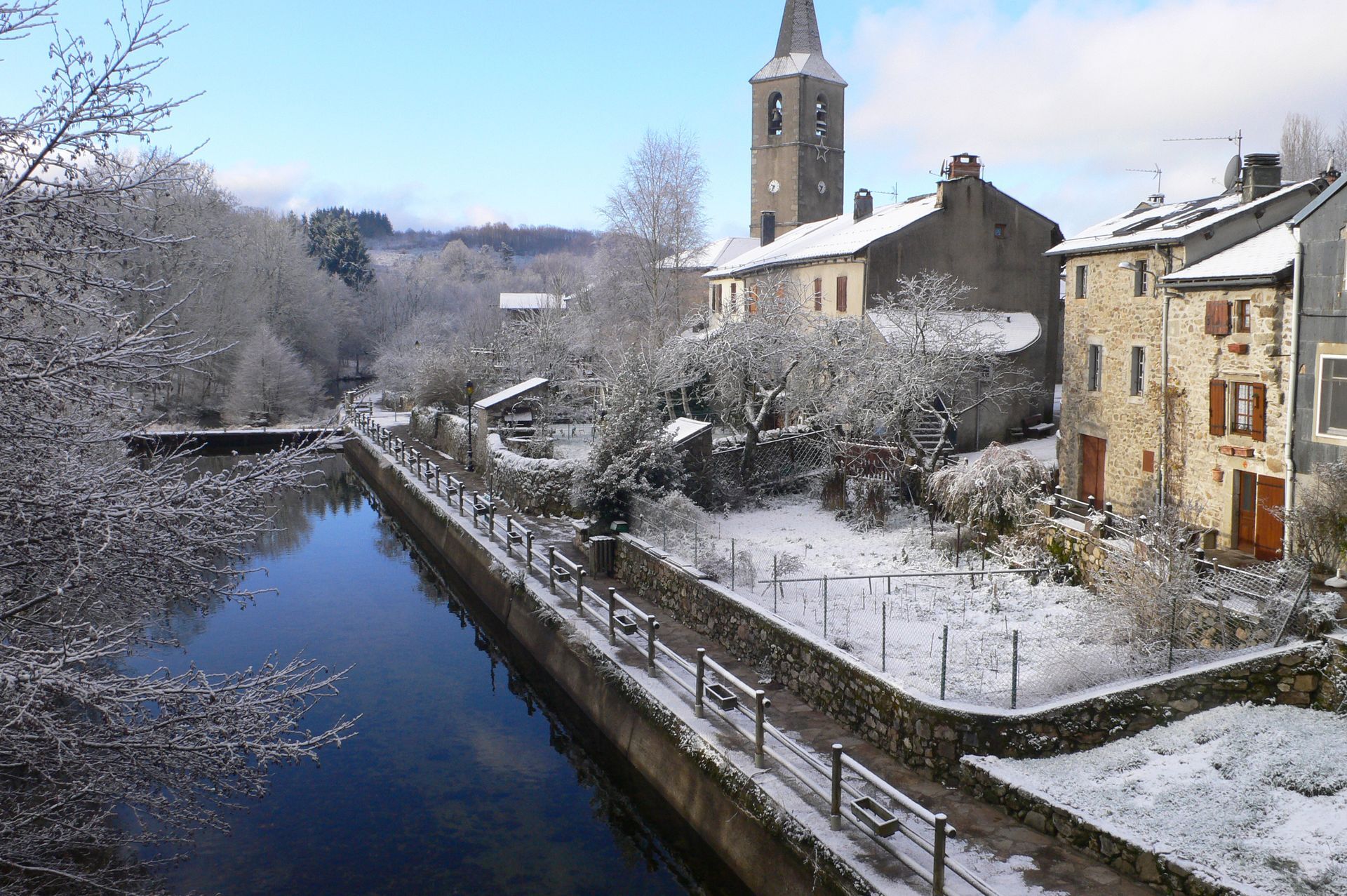
In the heart of the Haut-Languedoc Regional Nature Park, this short stroll takes in the heights of Fraïsse-sur-Agout. Set up by the village school, the Prévert trail is an interpretation path dedicated...
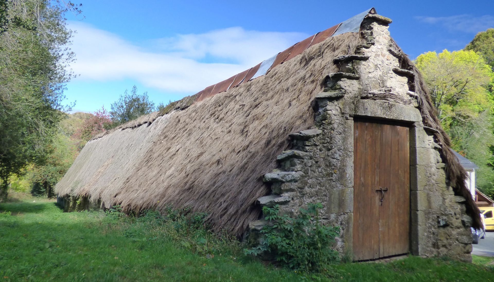
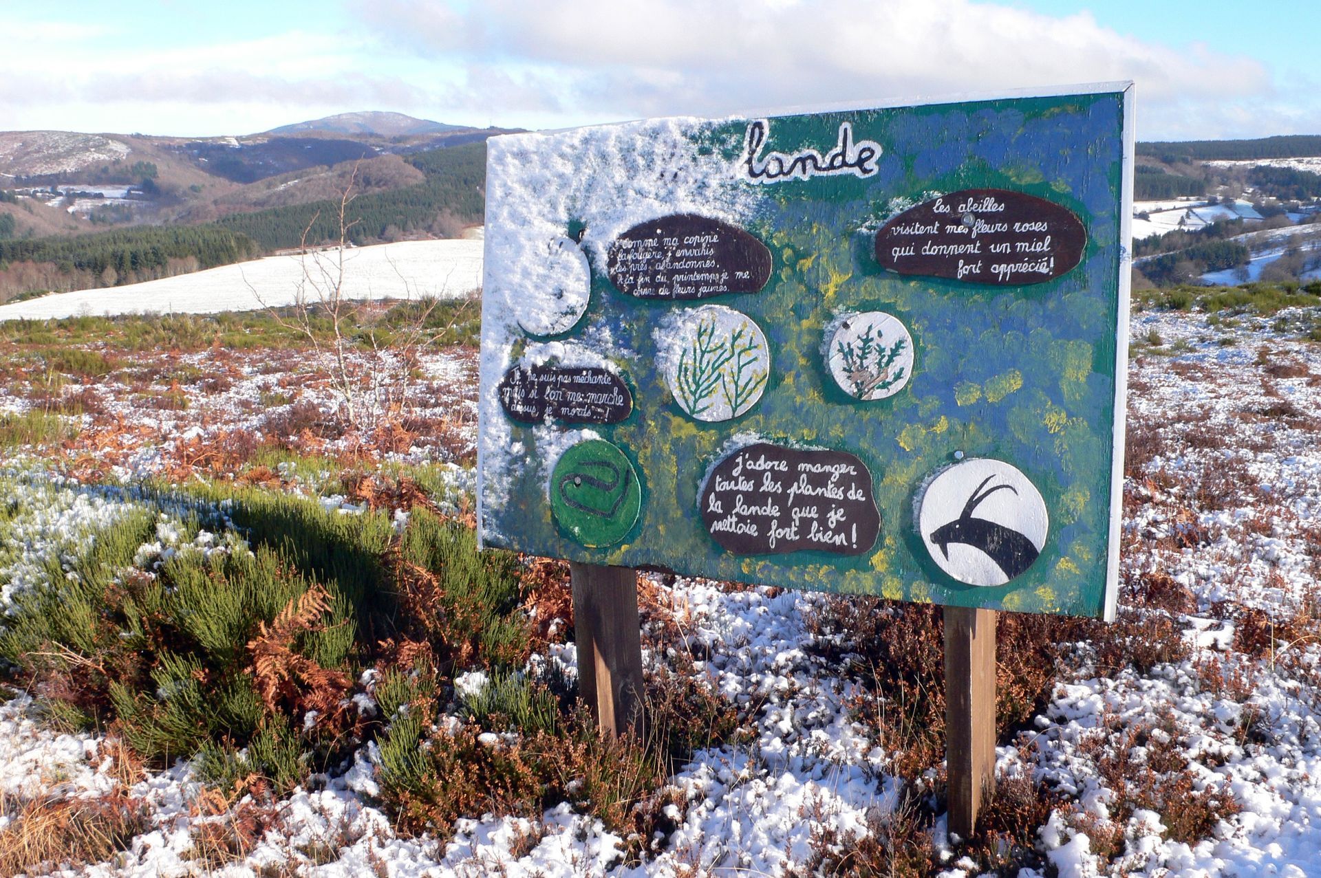
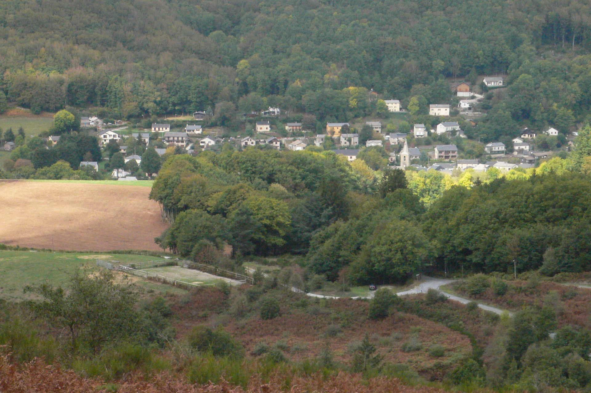
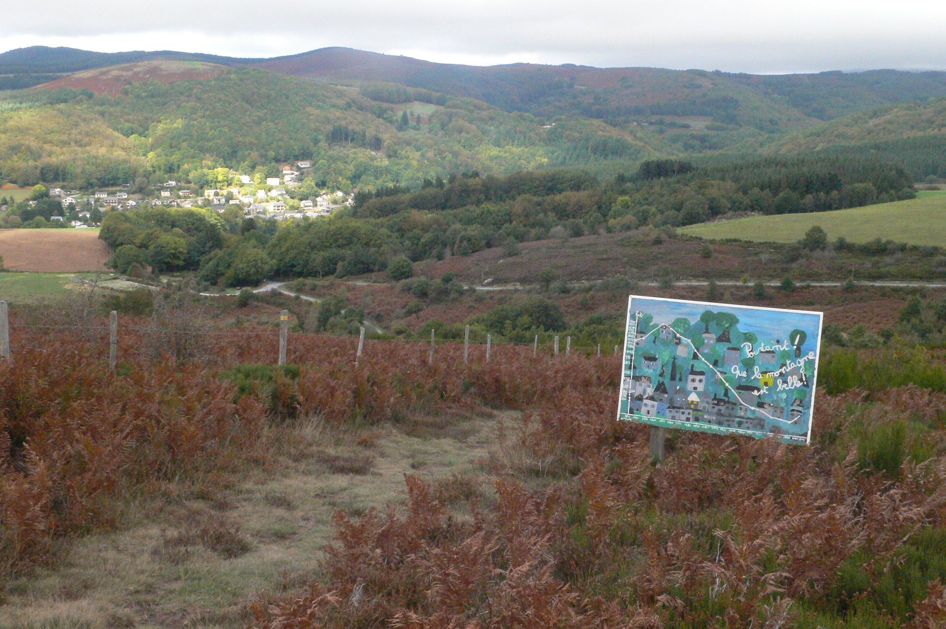
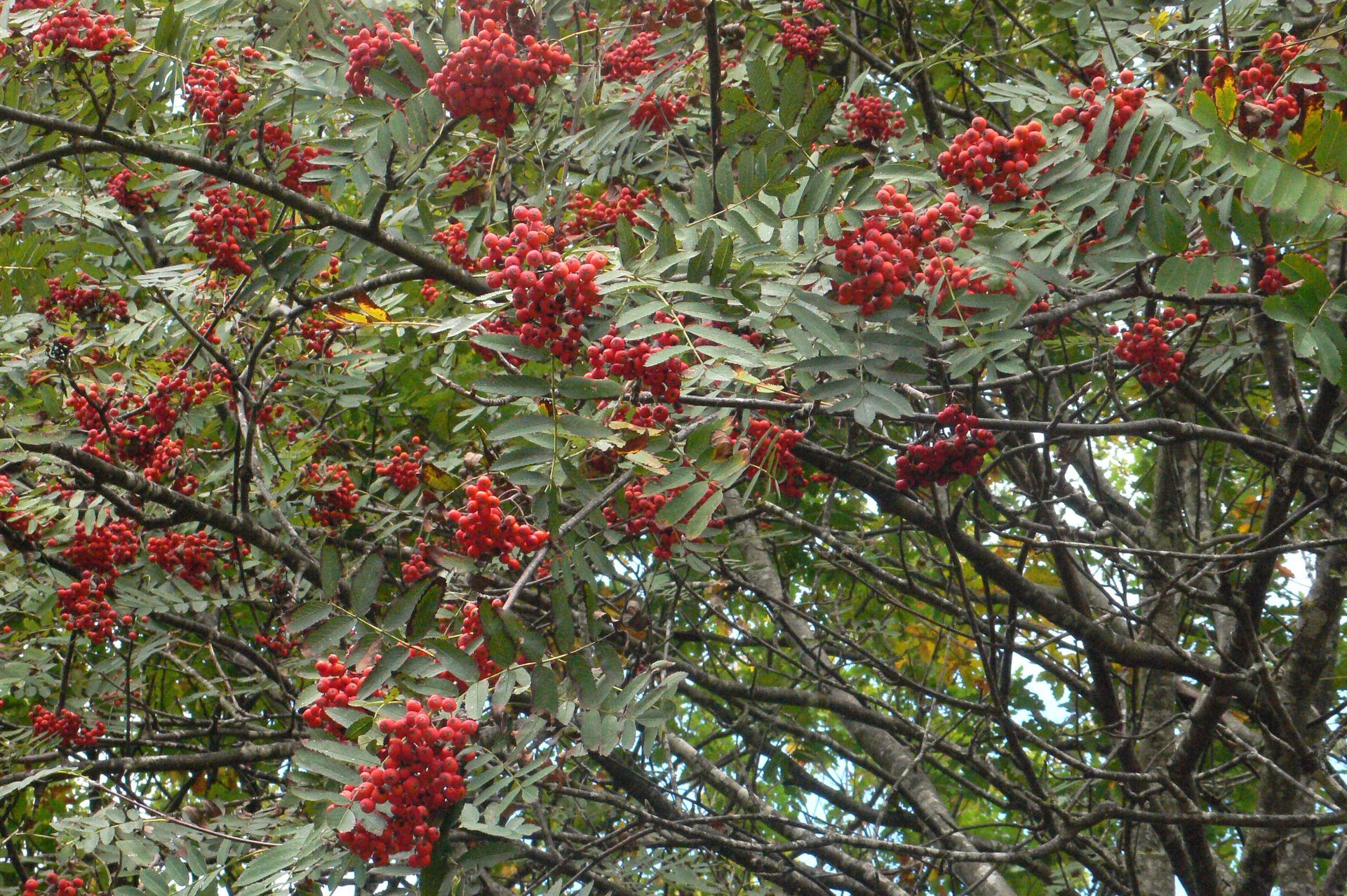
In the heart of the Haut-Languedoc Regional Nature Park, this short stroll takes in the heights of Fraïsse-sur-Agout. Set up by the village school, the Prévert trail is an interpretation path dedicated to trees and the natural environment, with panels evoking the poet.


1
Leave the village on the D169 towards Saint-Pons, cross the bridge and climb 150 m. At the crossroads, turn left onto the main road. After 30 m, turn right towards Birot.
2
To go: Leave the road, take the path opposite. Go downhill, cross the Bessèdes stream and go back up into the undergrowth. Return: Rejoin the road, turn right and return to the starting point via the outward route.
3
At the Croix d'Imbert crossroads, take the path that climbs to the left. Reach a small road. Cross the road and take the opposite path through ferns and heather. Climb up, then enter a grove of beech and oak trees.
4
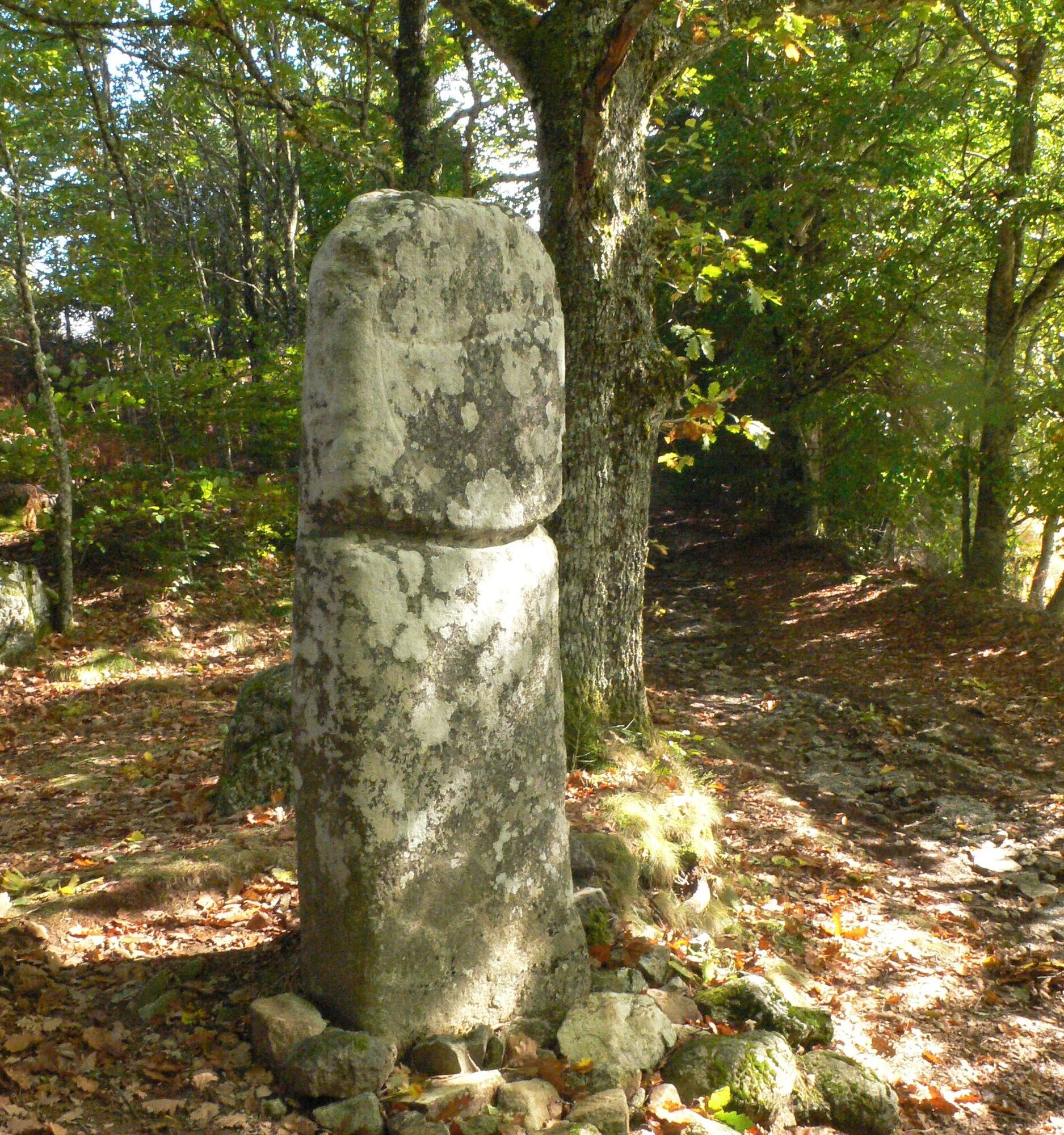
At the Picarel menhir, take the path to the left, then continue on a small road. 30 m before the D169, take the left-hand path alongside a fence. At the crossroads, turn left towards a pylon. Go downhill to join a track on the right, passing the arboretum.
5
At the Col de Triby, follow the D169 left for 20 m, then cross it to the Route de Capsan. Immediately turn left onto a path which enters the moorland. Cross the D169 and climb down the steps to the right, towards the Prat d'Alaric farm. At the farm, turn left and cross a track. On the opposite side of the road, take a path running alongside meadows.
Ano
Jaune PR
+33 5 32 11 09 45
Monts & Lacs en Haut-Languedoc Tourist Office
PR - FFR
Oblíbené prohlídky v okolí
- 5.0
HIKING OF THE HÉRIC GORGES VIA THE ORIENTATION TABLE
středníTuristika 16.3 km - 4.0
CAROUX SUMMIT HIKE
středníTuristika 7.94 km - 5.0
HIKING ROUTE OF THE TERRASSES DE L'ESPINOUSE
středníTuristika 16.8 km - 4.0
LEGENDS TRAIL HIKE
středníTuristika 11.4 km - 4.0
LAUZE HIKE
středníTuristika 9.41 km - 3.0
CYCLE LOOP No. 29 - FROM THE VALLEYS TO THE PEAKS OF HAUT-LANGUEDOC
středníJízda na kole 64.3 km HERIC GORGES ROAD - MONS LA TRIVALLE
středníTuristika 9.38 kmTOUR DE LAC DE VESOLES HIKE
světloTuristika 6.27 kmHIKING OF THE HÉRIC GORGES VIA THE COL DE BARDOU
středníTuristika 12.4 kmVIALAIS HIKE
středníTuristika 13.4 km
Pěší turistika a stopování


Nenechte si ujít nabídky a inspiraci pro vaši příští dovolenou
Vaše e-mailová adresa byl přidán do poštovního seznamu.


