



Oenorando® From the vine to the olive tree

The vine and the olive tree
Simply out of passion or facing the observation of a climate evolution whose trend is warming, some winemakers have undertaken diversification, or sometimes even a conversion...
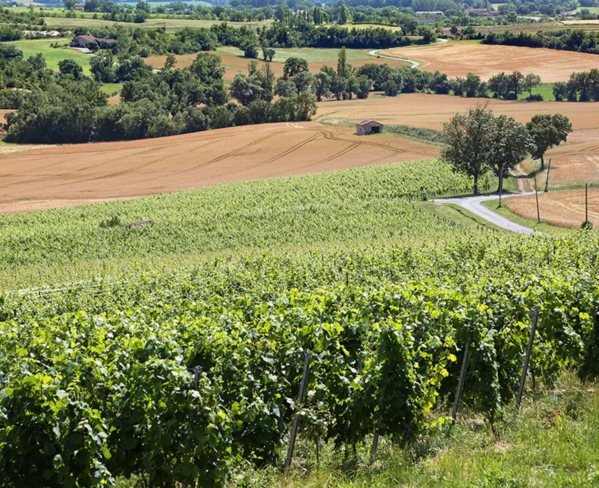
Simply out of passion or facing the observation of a climate evolution whose trend is warming, some winemakers have undertaken diversification, or sometimes even a conversion to olive growing. However, the cultivation of olive trees is not the same as that of vines. This is a major challenge because although some vineyard soils may be suitable for olive trees, their long-term profitability remains subject to the risk of water deficiency or severe frost still possible in our region. It is a challenge that a few have decided to take up, betting on a quality market, enthusiasm for short supply chains, low local competition, and the revival of a somewhat forgotten cultivation method. The association of tree and vine, agroforestry, is an ancient practice that has long shaped Mediterranean landscapes through the trilogy of olive tree, vine, and wheat and still persists in some European regions where cherry trees, peach trees, almond trees or truffle oaks are still combined with vines. The tree limits climatic extremes, improves the soil and, by bringing water up from depth to the surface, also improves these water resources. It also creates biodiversity favoring the fight against pest species by sheltering their natural enemies.

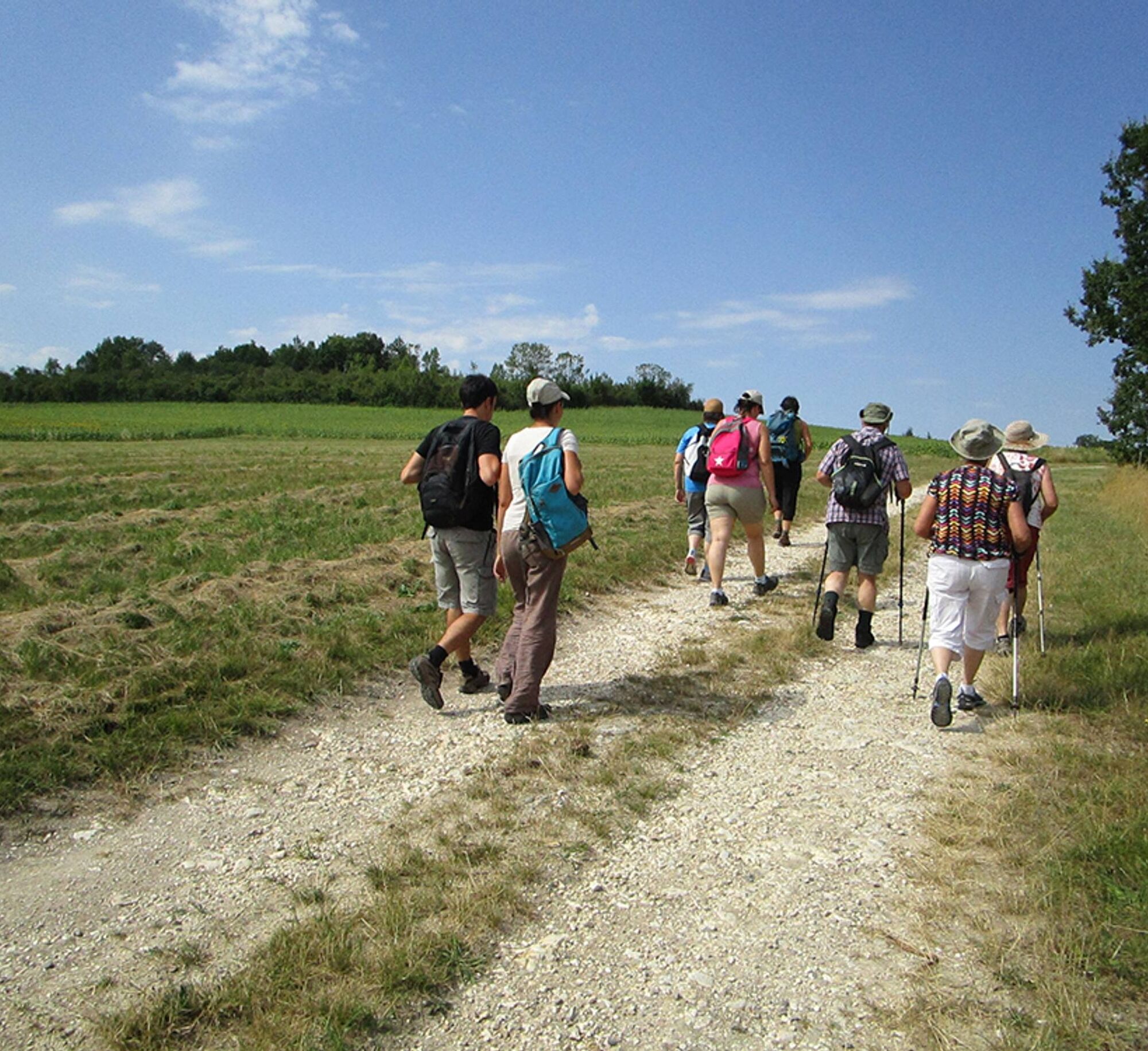

1. At the estate parking lot, facing the departure sign, take the path going down to the left between the buildings. Pass in front of the dovecote. After the grove, turn left and go back up to the D107.
2. Turn left, go around the Camp Redon campsite on the left and take the small road going up towards Livers. At the crossroads, turn left and continue to the entrance of Livers castle.
3. Go straight ahead and take the path going down into a pretty hollow. At the intersection, leave the right path and climb back up to the D600.
4. Cross carefully. At the hamlet of La Borie, turn right onto a small path descending into a second hollow. At the next intersection, turn left to reach the D107. Cross the road and, about 70 m further, continue on the left path.
5. After approximately 400 m, turn left onto the path leading to the small road of Prugnères from which you can enjoy a beautiful viewpoint. Turn right.
6. After about 1 km, at the crossroads, leave the road on the right and take the path to the left shared with “La tournée du facteur”. Cross the D600 carefully and reach the small road leading to Milhavet.
7. Turn left, reach the D600 and follow it carefully for 70 m before turning right onto a path. Take it to return to the hamlet of Capendut and the starting point.
· Prévoir une réserve d'eau par personne · Se protéger du soleil ou du froid selon les saisons · Respecter le milieu naturel et les propriétés privées traversées · Refermer les clôtures après passage · Respecter la vigne et le travail des vignerons · En période de chasse, se renseigner auprès de la mairie
Oblíbené prohlídky v okolí
-
4.0
Maraval Trail - Short Variant
středníTuristika 5.02 km -
5.0
Chemin de la Vère au Saint-Hussou
středníTuristika 14.2 km -
Bike Route - C3 From Sainte Cécile to the Gaillac vineyard
světloSilniční kolo 38.6 km -
Oenorando® La ronde des vignerons
světloTuristika 7.84 km -
Sentier des dunes de Maraval aux Touardes
středníTuristika 8.57 km -
Maraval trail - dune section
světloTuristika 1.72 km -
From the Cérou to the Aveyron
středníTuristika 10.2 km -
Sentier de découverte de Les Cabannes "Sur les traces des bâtisseurs"
světloTuristika 2.63 km -
Vignoble et châteaux
heavyTuristika 17.4 km -
Lacapelle Sainte-Lucie circuit
středníTuristika 11.5 km
Pěší turistika a stopování


Nenechte si ujít nabídky a inspiraci pro vaši příští dovolenou
Vaše e-mailová adresa byl přidán do poštovního seznamu.


