



Chemin de la Vère au Saint-Hussou

In the Gaillac region, many streets or squares bear the name Hautpoul, in memory of General Count d’Hautpoul, who grew up at the Château de Salette (in the commune of Cahuzac). Present at all the Napoleonic...
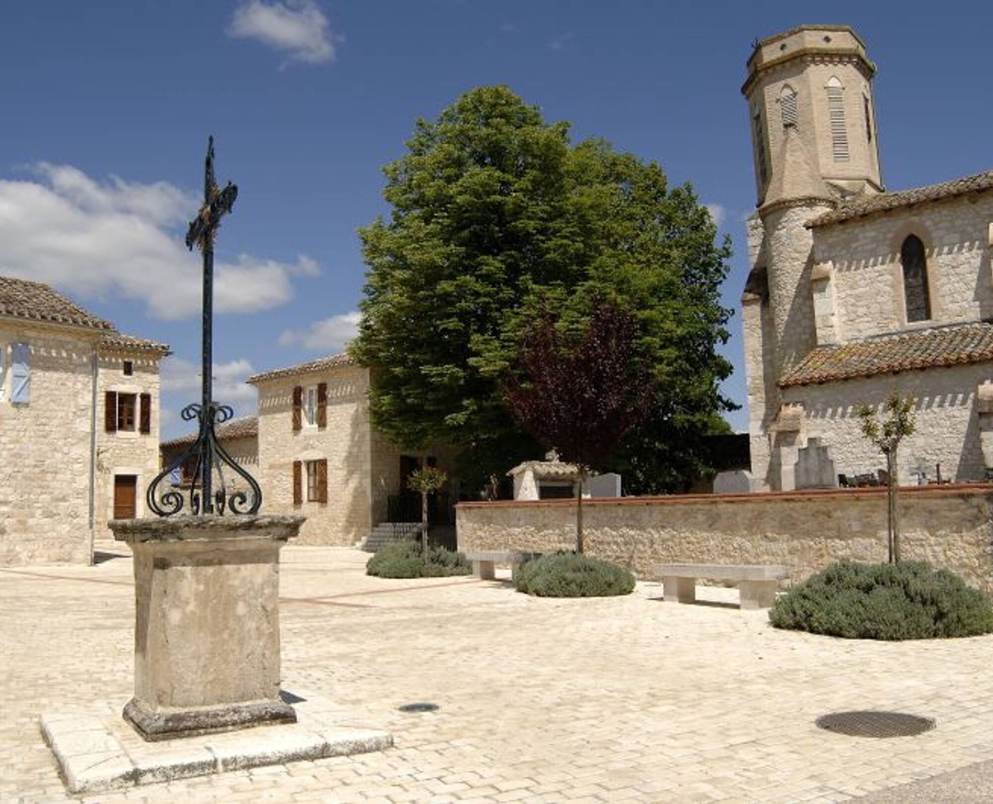
Vieux was a very ancient pilgrimage site, the most important in the Albigensian area until the end of the 15th century when the Bishop of Albi decided to bring the relics back to the cathedral in Albi. The imposing church remains.
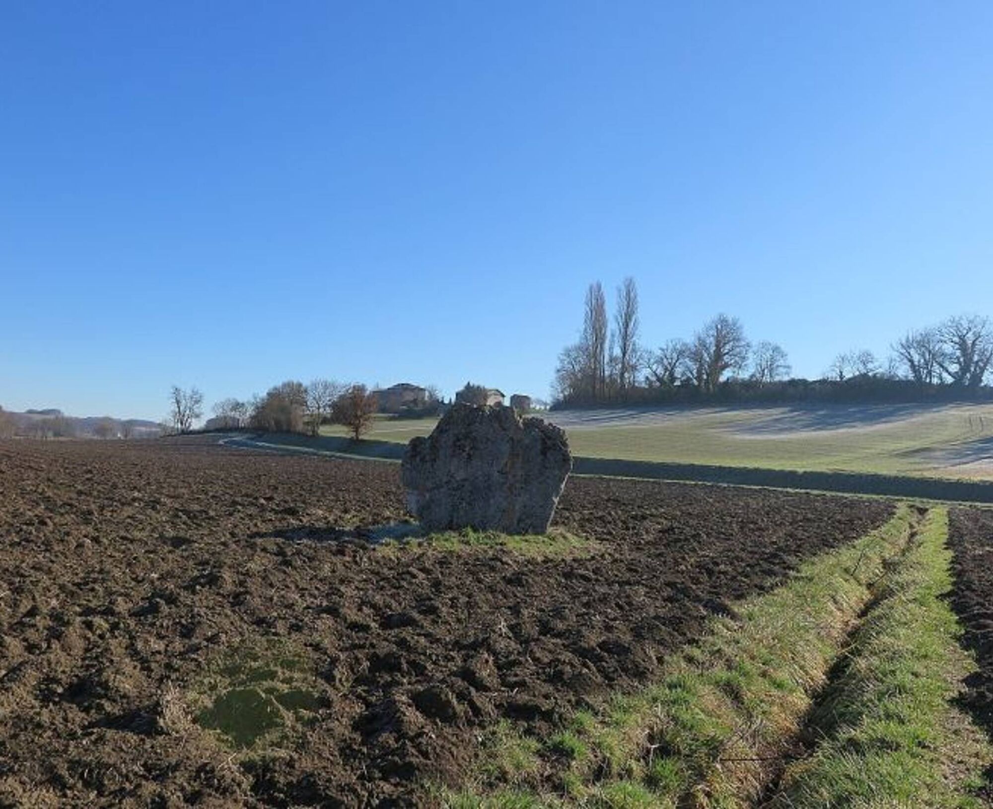
1 km from the village is the menhir of Ste Carissime (or Peyre Levade).
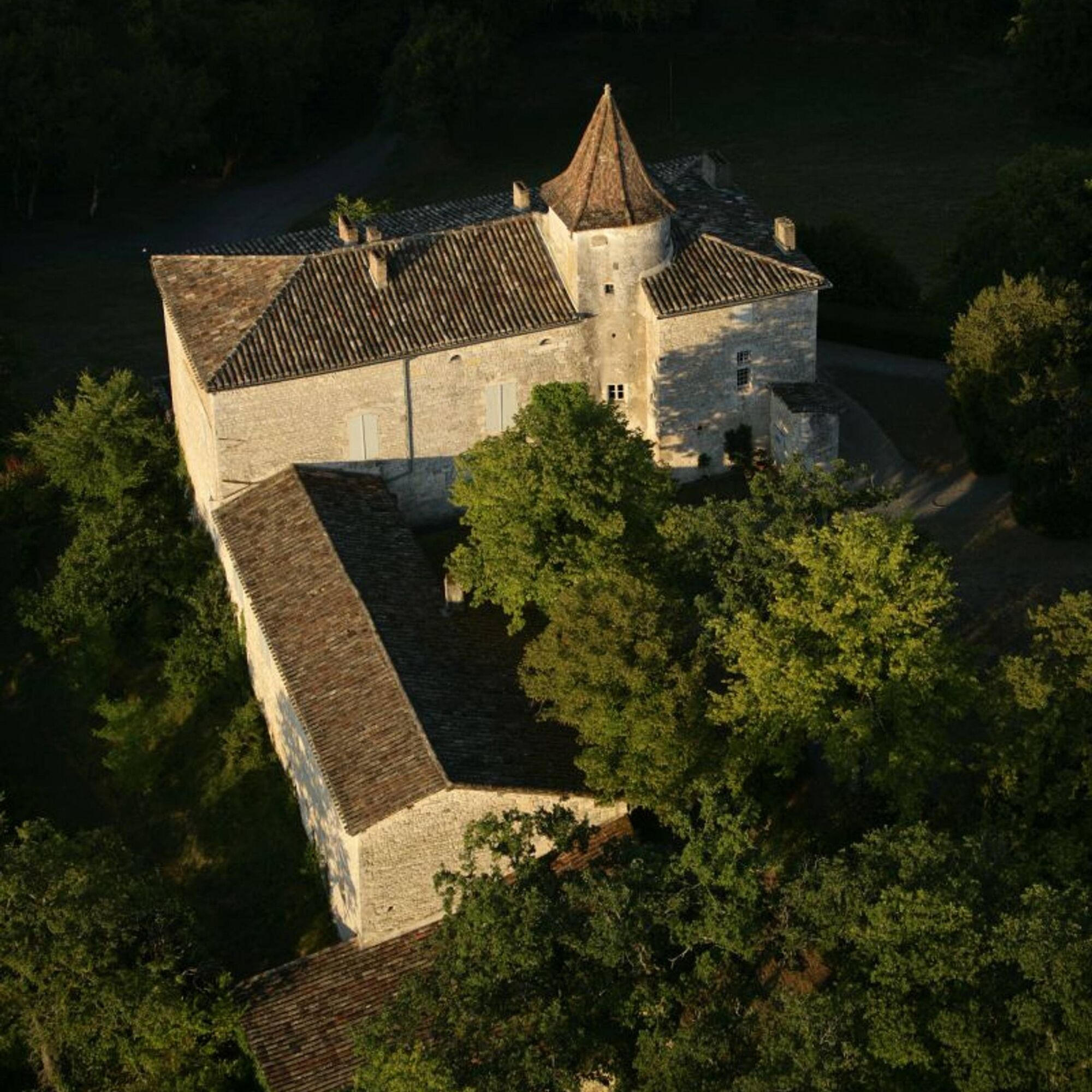
Midway, let yourself be charmed by the bucolic allure of the Château du Cayla, a 15th-century manor house, the birthplace of the romantic poets Maurice and Eugénie de Guérin.


1. At the square of Cahuzac-sur-Vère, take the D 922 to the right, towards Gaillac, for about 20 meters, then turn right into a small street; reach a fork.
2. Descend on the road to the right and continue straight on a gravel path. It passes in front of a sewage treatment plant, then follows the river before making a right-angle turn to the left and becoming grassy. At the road, climb straight ahead on the grassy path to reach an intersection of paths.
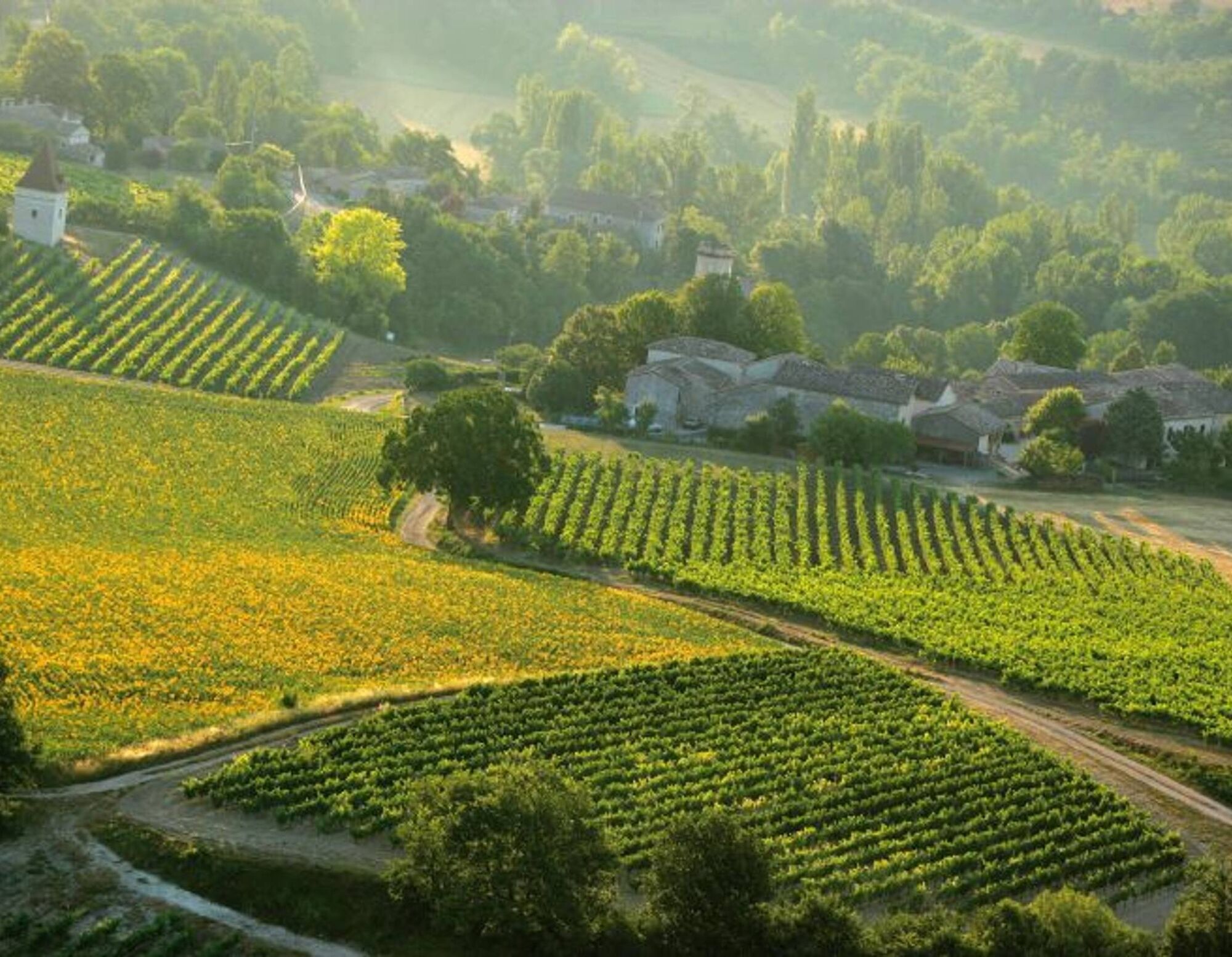
3. Turn right and, just before the place called Sept-Viols, descend to the right on a path along the vineyards. At Comberouzal, turn left onto the road until a crossroads; go straight on a path. At the Moulin de la Tour, go left. At the D 26, turn right, cross a bridge then, via the D 1, reach Vieux. -> To see the menhir Ste Carissime (Peyra Levada): from the village of Vieux, follow the D1. At the first crossroads, turn left (signposted menhir), cross the Vère (bridge). The menhir is located in the middle of the field on the right (signposted).
4. Before the left turn, climb straight ahead on a grassy path. At the end, turn right. Arriving at a dovecote, descend by stairs. Pass under a medieval gate. Cross the washhouse then pass to the left of the church. After the cemetery, climb to the right onto the road.
5. Descend to the right onto a path that then climbs towards Andillac. At the road at the entrance to the village, turn right and cross Andillac. At the exit, continue straight towards the Château du Cayla until an intersection.
6. Turn left towards Pausadou. Pass in front of a dovecote. About 150 meters later, go on a grassy path. At the road, turn right. At a crossroads, in Pausadou, descend to the left. Reach an intersection.
7. Turn left onto a path. Walk for about 20 meters and climb to the left onto the Cayla path. Cross a small footbridge and climb into the woods. Pass in front of the château, then descend onto the road. At the bottom of the château, descend on a grassy path (note: in winter, go right onto the road, the path is impassable). Pass in front of a washhouse. Cross a stream by a ford and continue straight to an intersection of paths.
8. Turn right. At the road, turn left. At a crossroads, climb to the left. Pass the place called La Combe, then next to a water tower. At Cinq-Peyres, go right.
9. Continue to the right on a path (viewpoint on Cahuzac-sur-Vère). In the village, cross a stone bridge and reach the square.
>>>> RECOMMANDATIONS
At point 7: opposite the Château du Cayla, at the bottom of the grassy path: be careful, the path is impassable in winter, so turn right onto the road.

Oblíbené prohlídky v okolí
- 4,0
Maraval Trail - Short Variant
středníTuristika 5,02 km Oenorando® La ronde des vignerons
světloTuristika 7,84 kmSentier des dunes de Maraval aux Touardes
středníTuristika 8,57 kmThe Suquets of Penne
světloTuristika 10,3 kmMaraval trail - dune section
světloTuristika 1,72 kmFrom the Cérou to the Aveyron
středníTuristika 10,2 kmSentier de découverte de Les Cabannes "Sur les traces des bâtisseurs"
světloTuristika 2,63 kmMountain Biking Trail: Grande Boucle Bastides and Vineyards of Gaillac
heavyMountainbike 144,4 kmConques Toulouse route - From Saint-Martin-Laguépie to Saint-Sulpice-la-Pointe
heavyTuristika 83,7 kmSentier de Mespel
středníTuristika 5,73 km
Pěší turistika a stopování


Nenechte si ujít nabídky a inspiraci pro vaši příští dovolenou
Vaše e-mailová adresa byl přidán do poštovního seznamu.


