







ITINERARY ON GR®7 MONTAGNES DU CAROUX, 4 DAYS
ATTENTION (Information of February 13, 2026): for your safety, due to recent bad weather, this route is closed until further notice.
The Espinouse, Caroux and Monts d'Orb massifs unveil steep, Corsican-like...
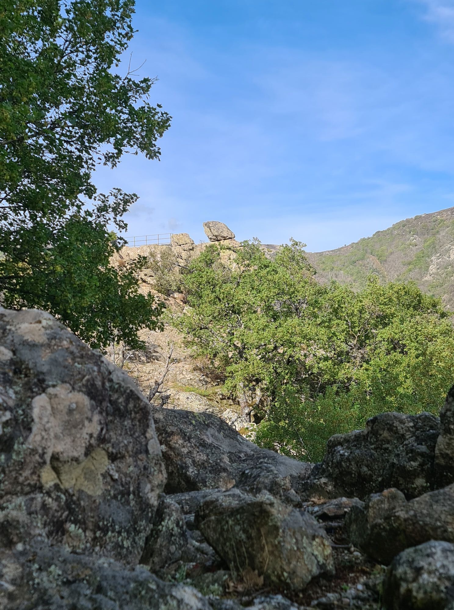
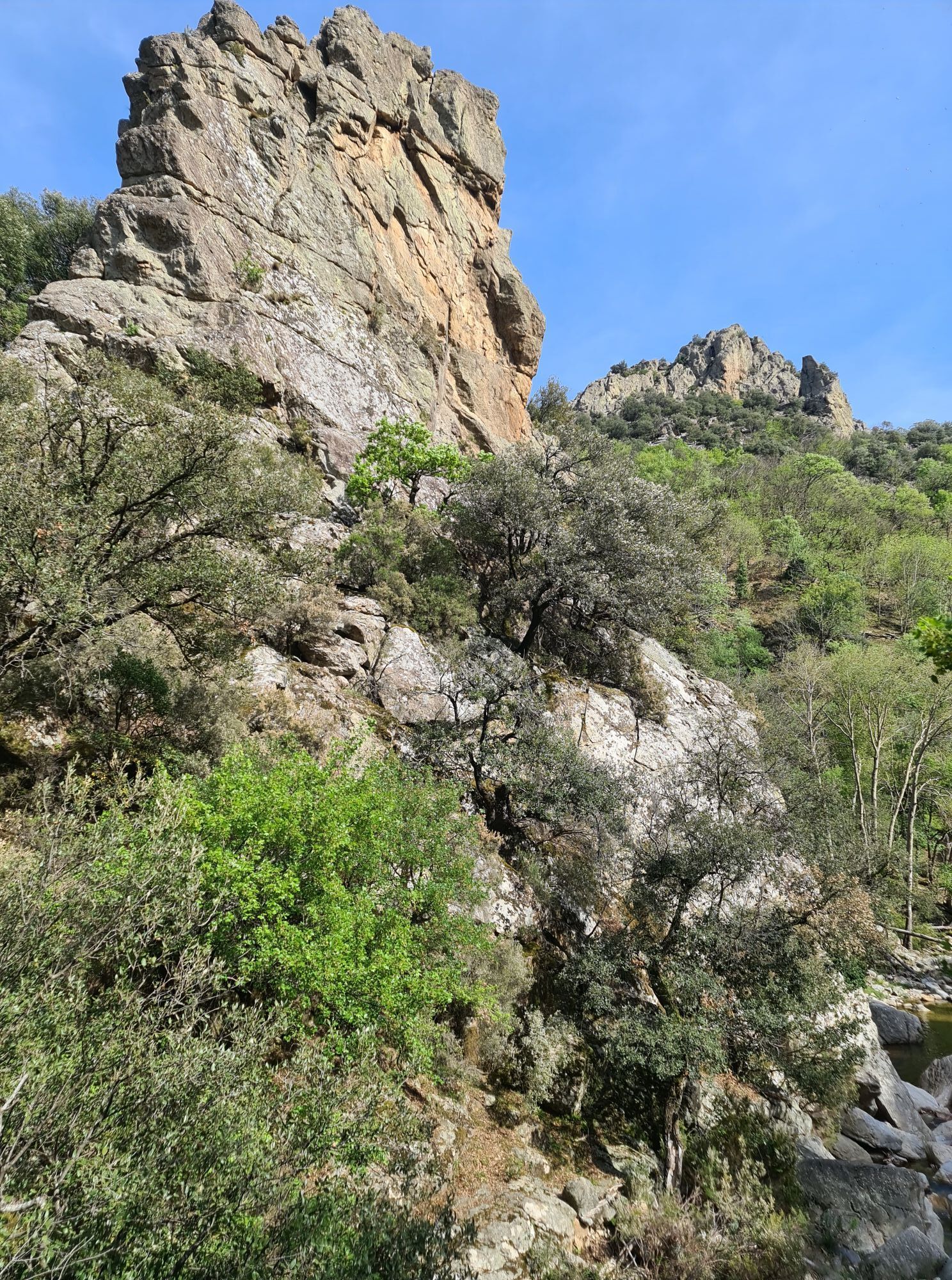
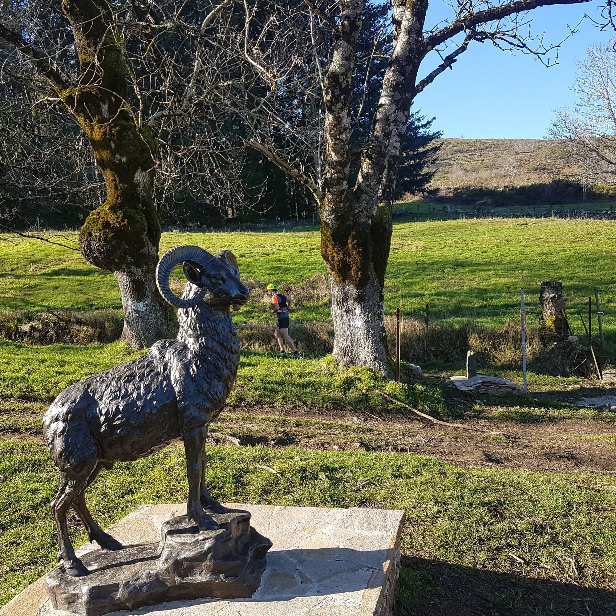
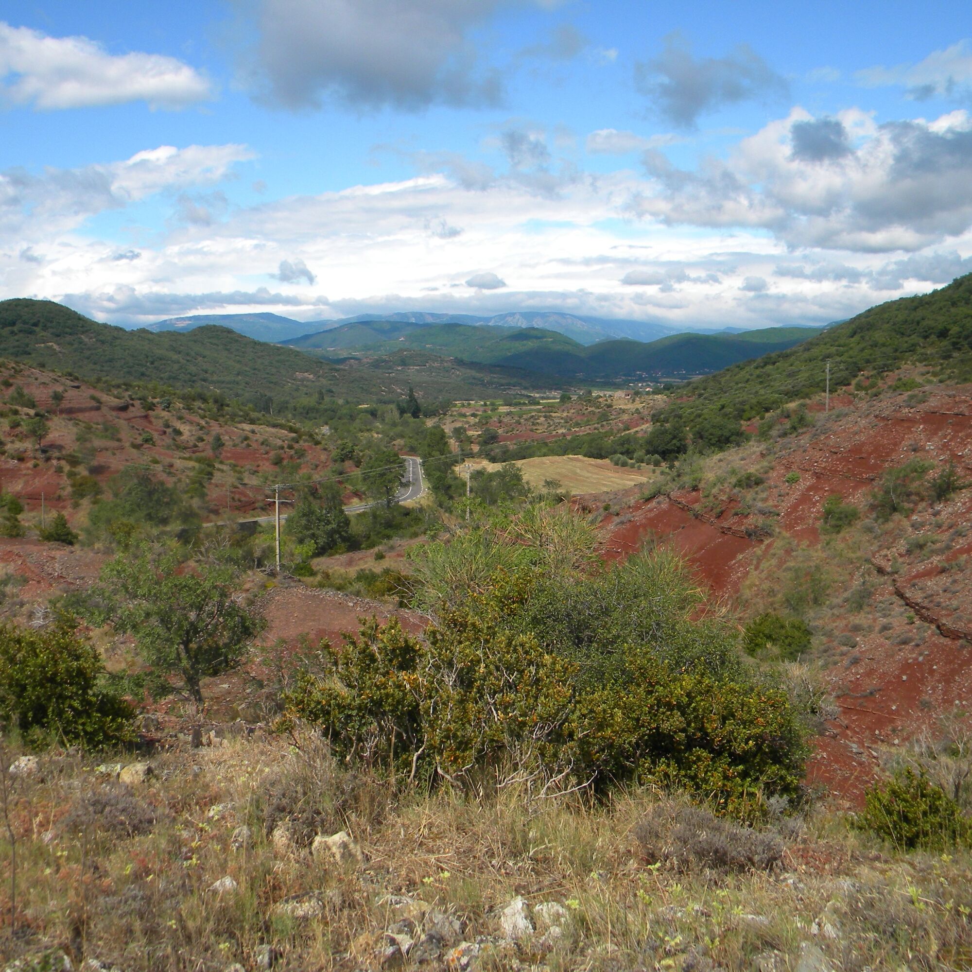
The Espinouse, Caroux and Monts d'Orb massifs unveil steep, Corsican-like reliefs where the technical trails climb rapidly from 200 to 1000 meters. A veritable balcony overlooking the Mediterranean and the Pyrenees, the route is a feast for the eyes. With a little patience and discretion, you're sure to come across the mouflon, the majestic emblem of the Caroux and Espinouse Massifs. Here, nature is wild and fragile, and staying on the trails and enjoying the silence are the most beautiful tributes you can pay it.


1
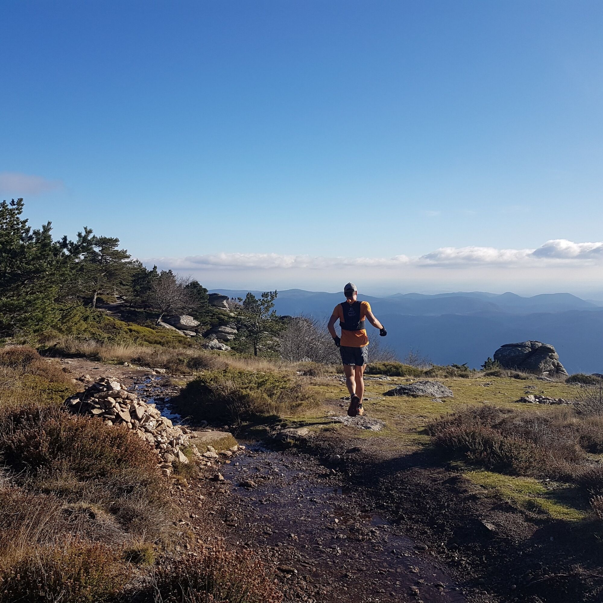
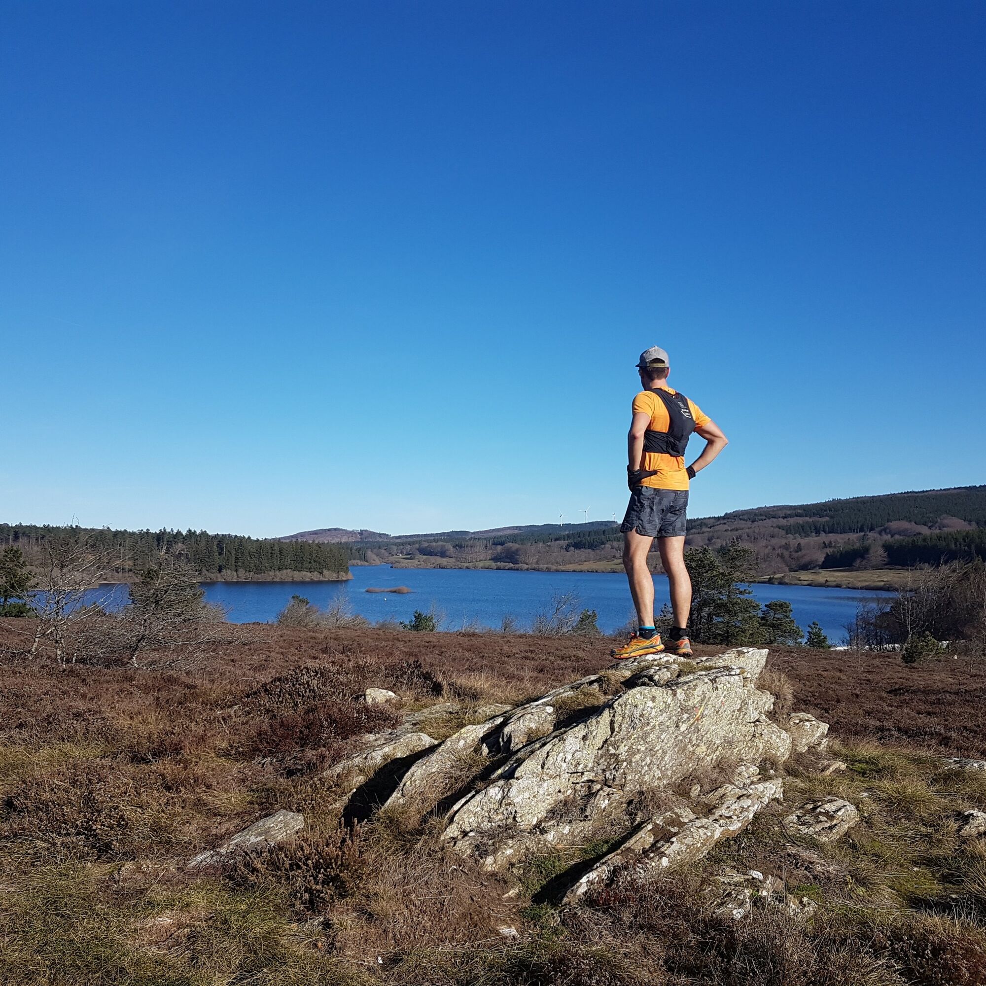
The Caroux is a mountainous massif with steep, uneven slopes. This first stage immediately gets to the heart of the matter, with a trip along the "Chemin des légendes" (or "1000 steps", a historic path) that quickly takes you to the Vezoles lake (km 8) and its mountain atmosphere. The remainder of the route crosses the Somail and Espinouse plateaus, and takes on a less rugged profile, with forests, moors and balconies offering incredible views of the valleys below and the other peaks of the Haut-Languedoc.
2
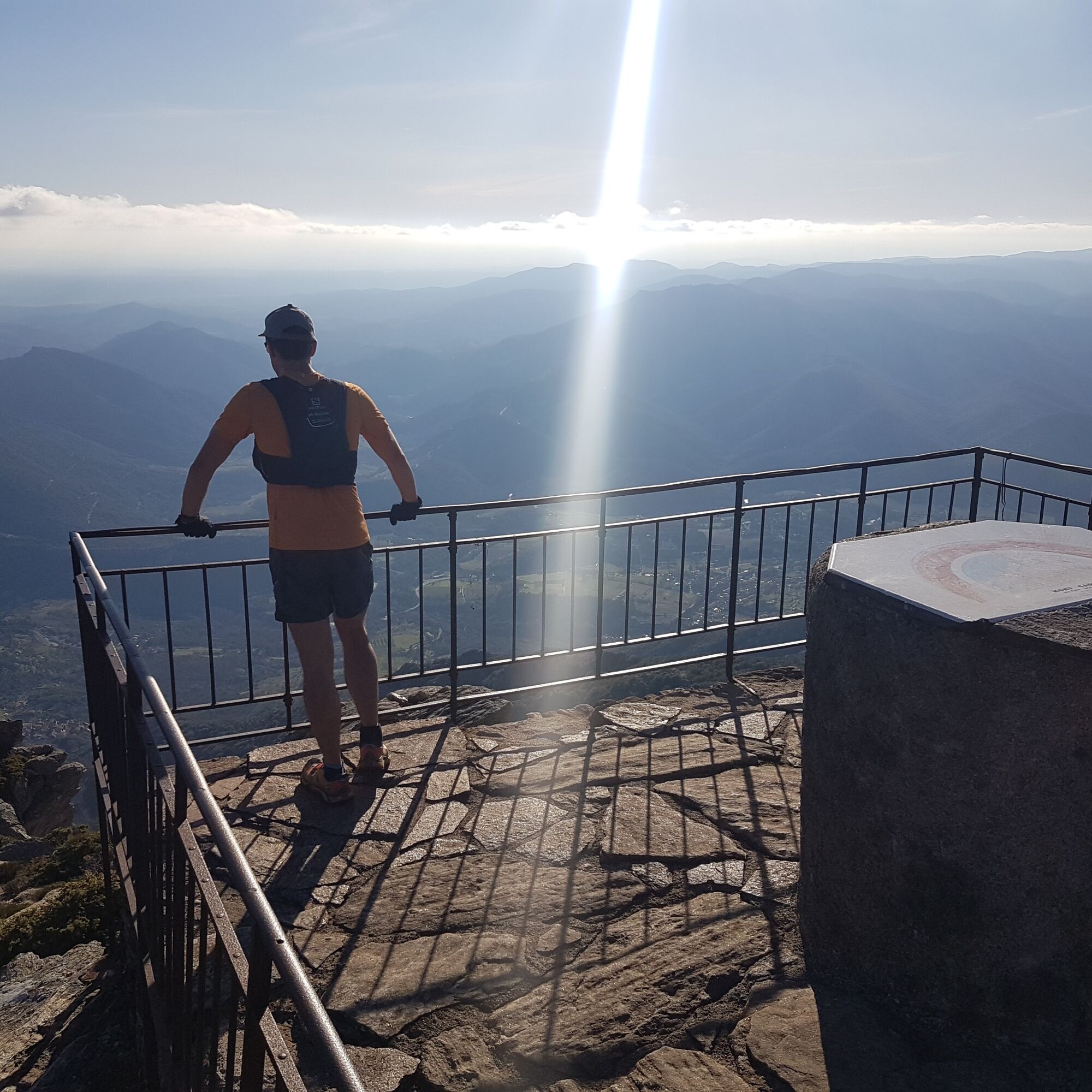
The route quickly leaves the plateaus to return to steep valleys on technical, challenging trails. The Col de Bardou pass (km 33) marks the entrance to the Gorges d'Héric, the heart of the Caroux massif and a popular spot for traditional climbing. After the hamlet of Héric, the slope rises again to reach the hamlet of Douch (km 37) and then the Caroux plateau at over 1000m altitude. The orientation table (km 40) offers a breathtaking view, with glimpses of the Mediterranean Sea and the Pyrenees. A few kilometers more on this high-altitude plateau, before descending into the upper reaches of the Colombières gorges and gradually losing altitude to reach Lamalou-les-Bains, renowned for its thermal cures (km 55).
3
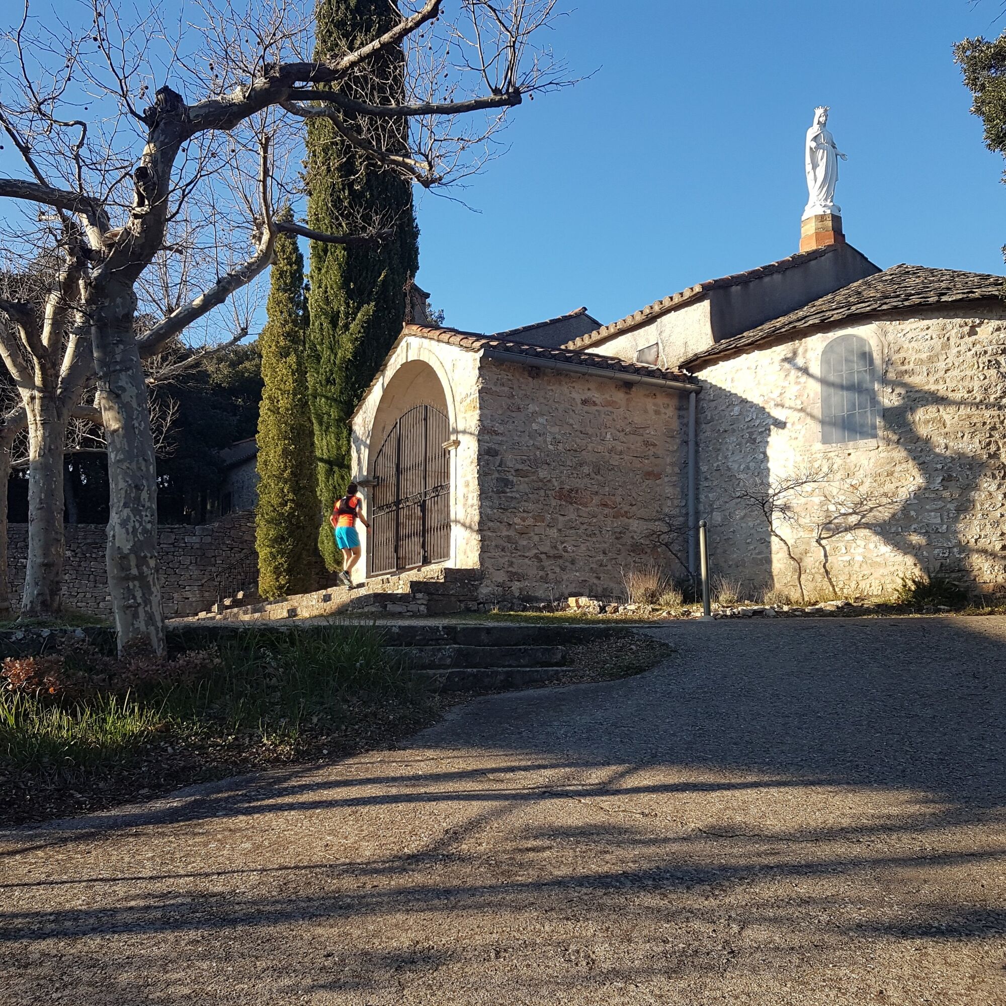
To kick off this stage, the short but steep climb to the chapel of Notre-Dame-de-Capimont (km 57) quickly awakens the muscles. The rest of the stage is no picnic either, as you follow a series of undulating paths between the valleys and Causses of the Larzac foothills. The terrain becomes flatter at the Orb crossing (km 70) as the route enters this wide valley. At the end of the stage, there's a pleasant single-track climb to the village of Dio (km 76).
4
After a warm-up at Valquières (km 79), the muscles are put to the test as we climb 350m to Puech Caubel (km 83, summit at 400m, not on the GR®7), where we are rewarded with a fine view of the Monts d'Orb. The rest of the route offers magnificent ridge sections on varied paths of no particular difficulty. This section gives you time to prepare for the final 10 km downhill to Lodève. Although not difficult, this last section requires a certain degree of physical fitness, particularly on the single-track sections where some of the slopes can be steep.
661/663
GR® and GR® de Pays are registered trademarks of the FFRandonnée (French hiking federation), designating routes identified as "GR®", marked with white-red markings; and as "GR® de Pays", marked with yellow-red markings. These routes are the creations of FFRandonnée. Their unauthorized reproduction, as well as the GR® and GR® de Pays trademarks, constitutes an infringement liable to prosecution. Find all GR® routes on mongr.fr
White and red GR
https://www.parc-haut-languedoc.fr/
Haut-Languedoc Regional Nature Park
GR - FFR
Oblíbené prohlídky v okolí
-
4.0
GORGES DE COLOMBIERES HIKE
středníTuristika 12.0 km -
5.0
HIKING OF THE HÉRIC GORGES VIA THE ORIENTATION TABLE
středníTuristika 16.3 km -
4.0
CAROUX SUMMIT HIKE
středníTuristika 7.94 km -
5.0
HIKING OF THE L'ESPAZE ARBORETUM
středníTuristika 12.3 km -
5.0
HIKING ROUTE OF THE TERRASSES DE L'ESPINOUSE
středníTuristika 16.8 km -
3.0
CYCLE LOOP No. 29 - FROM THE VALLEYS TO THE PEAKS OF HAUT-LANGUEDOC
středníJízda na kole 64.3 km -
5.0
HIKING THE RED ROCK
středníTuristika 7.01 km -
5.0
OENORANDO® THE VALLEY OF AROMAS
středníTuristika 13.7 km -
HERIC GORGES ROAD - MONS LA TRIVALLE
středníTuristika 9.38 km -
HIKE OF SAINT MICHEL DE MOURCAIROL
středníTuristika 11.7 km
Pěší turistika a stopování


Nenechte si ujít nabídky a inspiraci pro vaši příští dovolenou
Vaše e-mailová adresa byl přidán do poštovního seznamu.





