


HIKE OF SAINT MICHEL DE MOURCAIROL
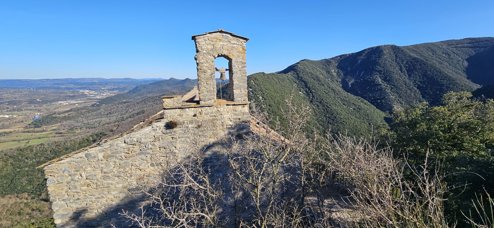
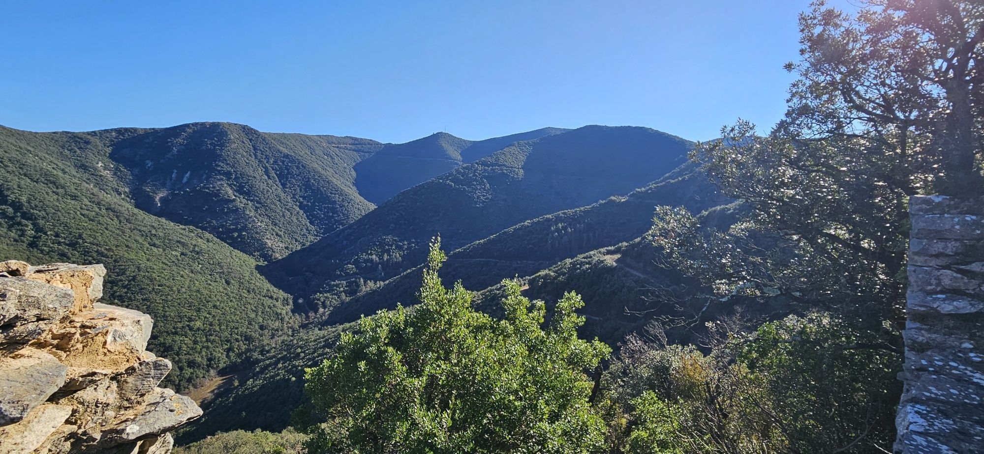

A forest route to discover the chapel of Saint Michel de Mourcairol and the viewpoint of the Pic de la Coquillade. It offers wide views over the Orb valley and the Caroux-Espinouse massif.

1
Climb to the right towards the village via rue de la Rullade and reach the main street of Chemin-Neuf. Turn right, pass the town hall and, on the left, go down the stairs. Cross the bridge, go up the path along the vineyard and take the path of the Abbes on the left. At the entrance to the hamlet, go left then, after the last house, follow the path on the right until the paved road.
2
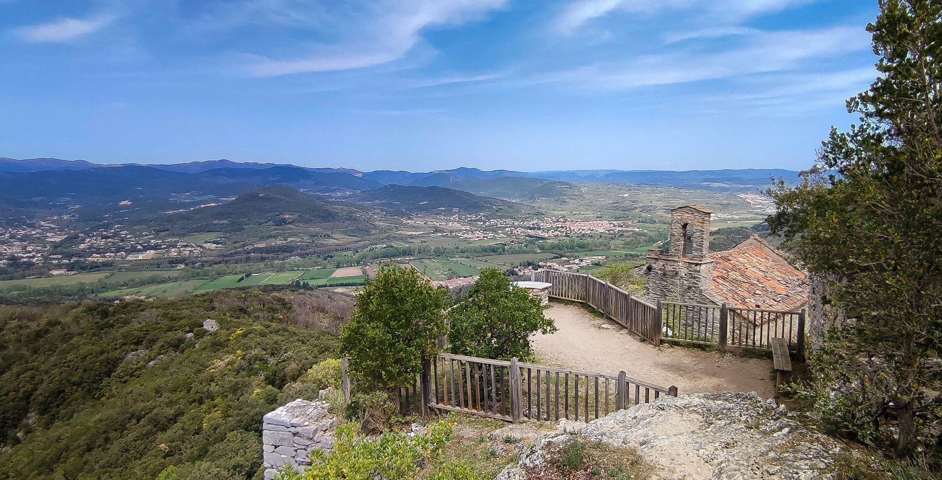
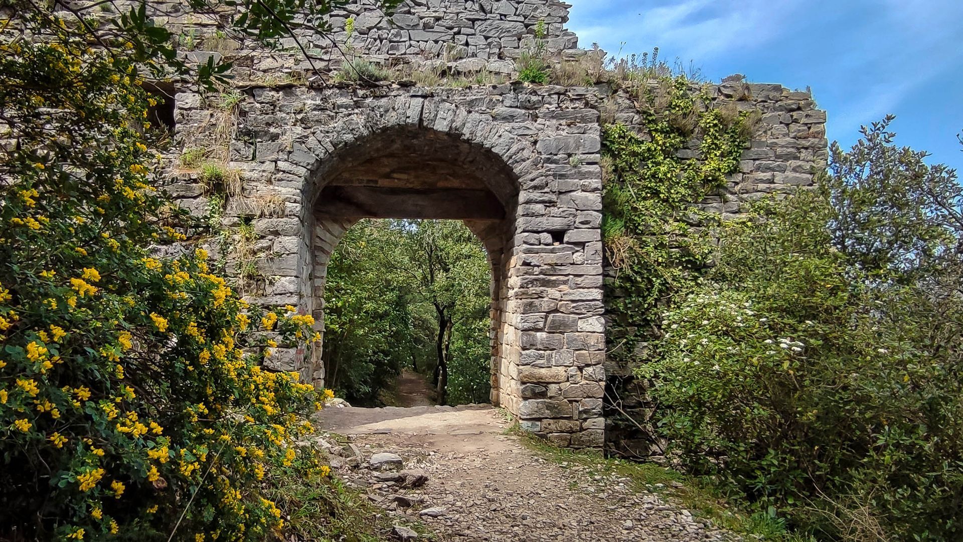
Follow it left to the Saint-Michel parking. Take the path on the left, pass under the medieval gate, veer right and reach a fork.
3
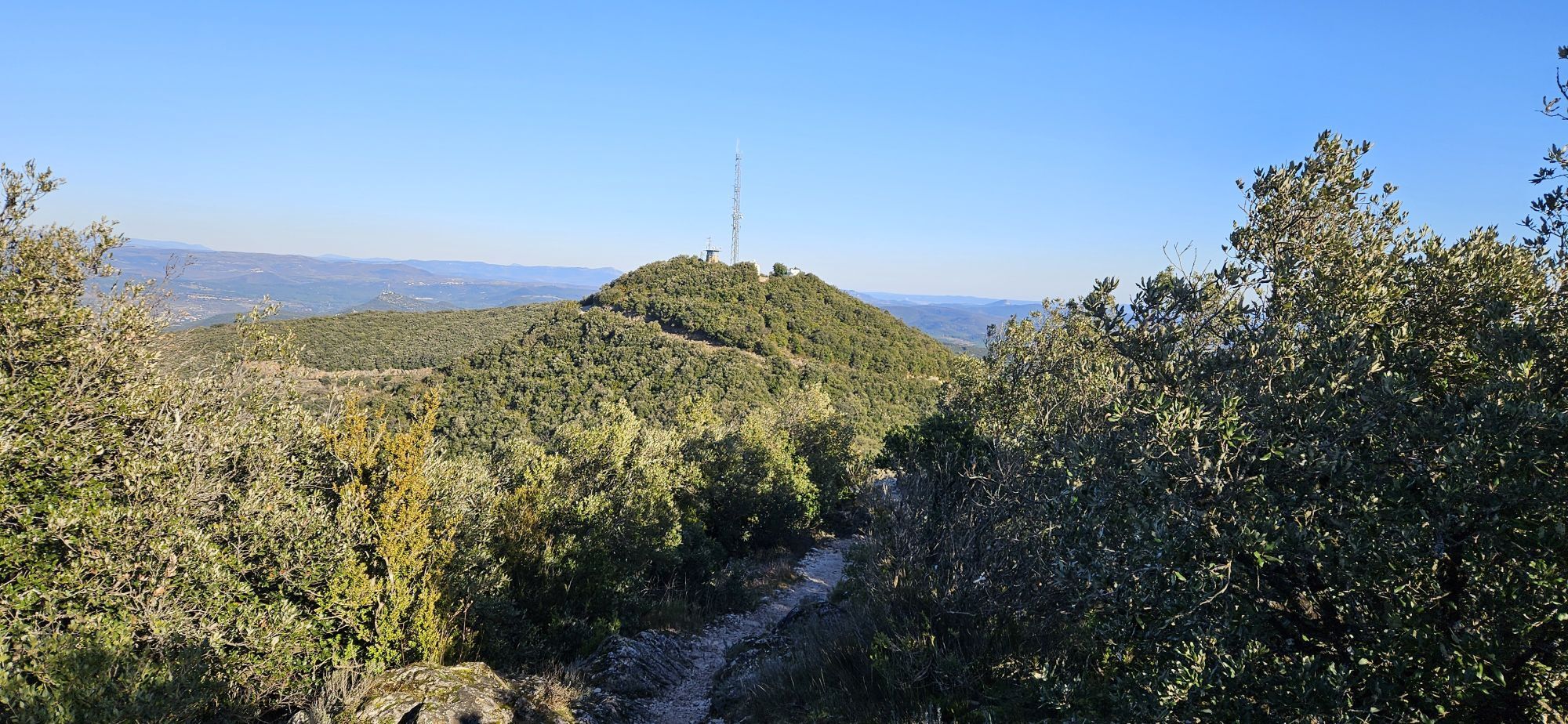
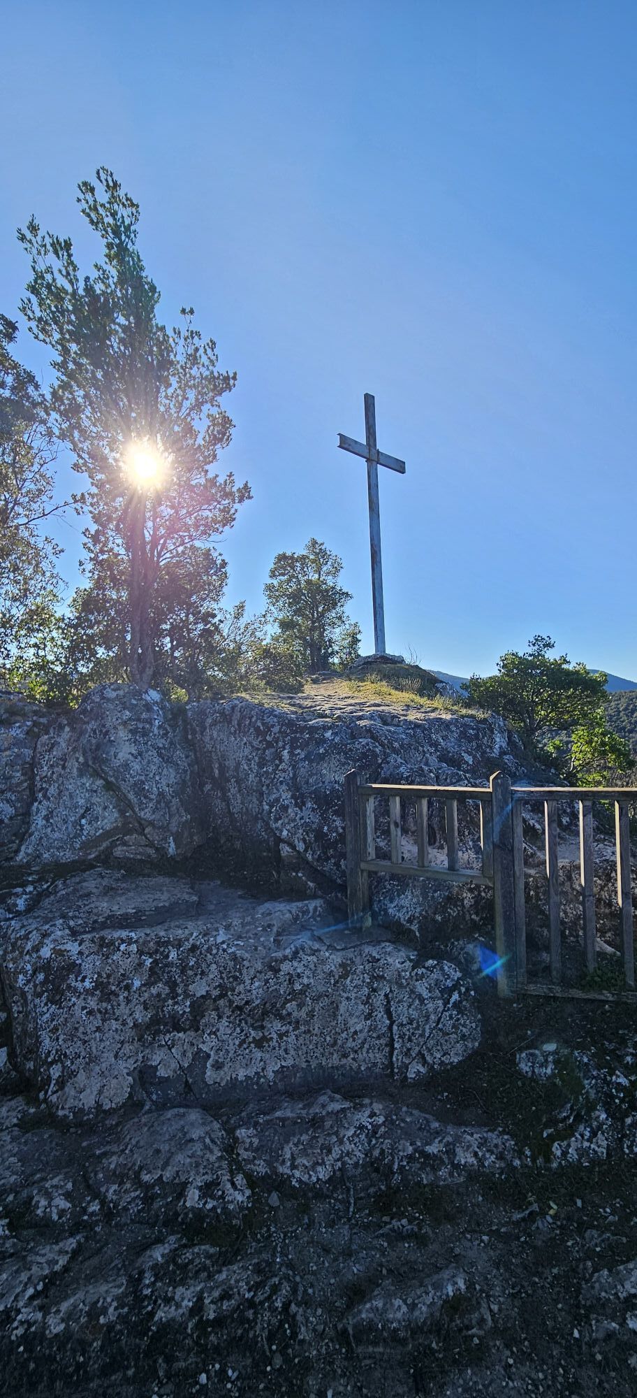
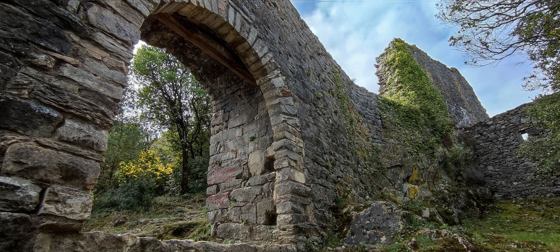
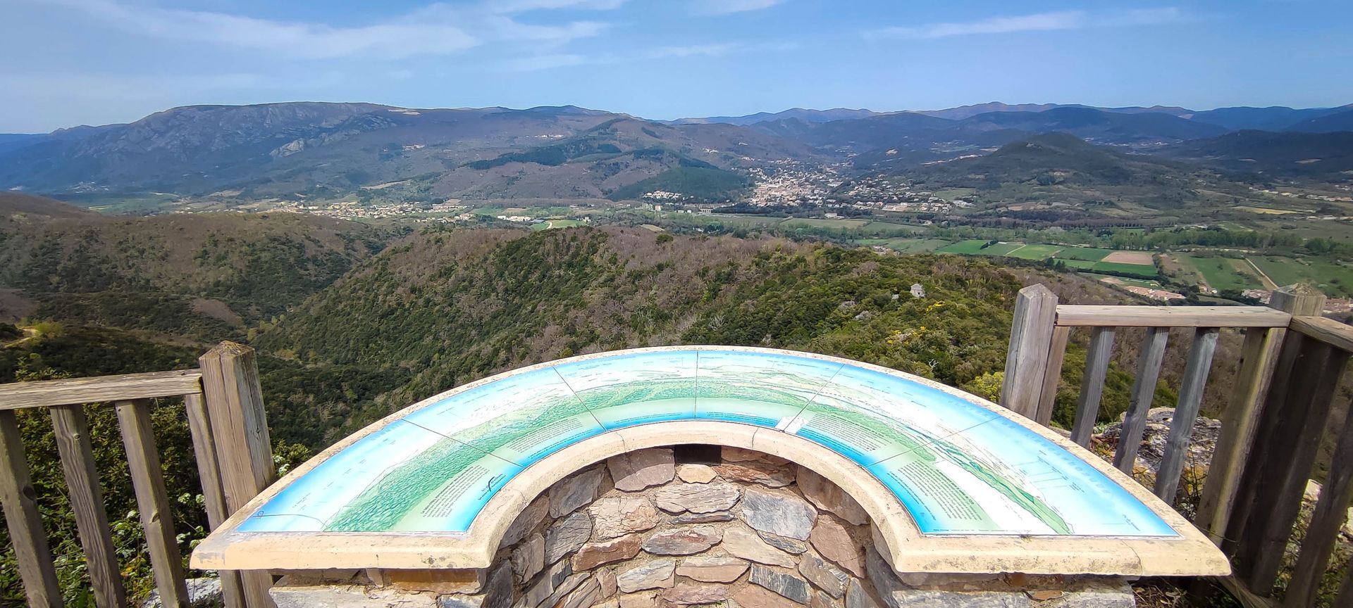
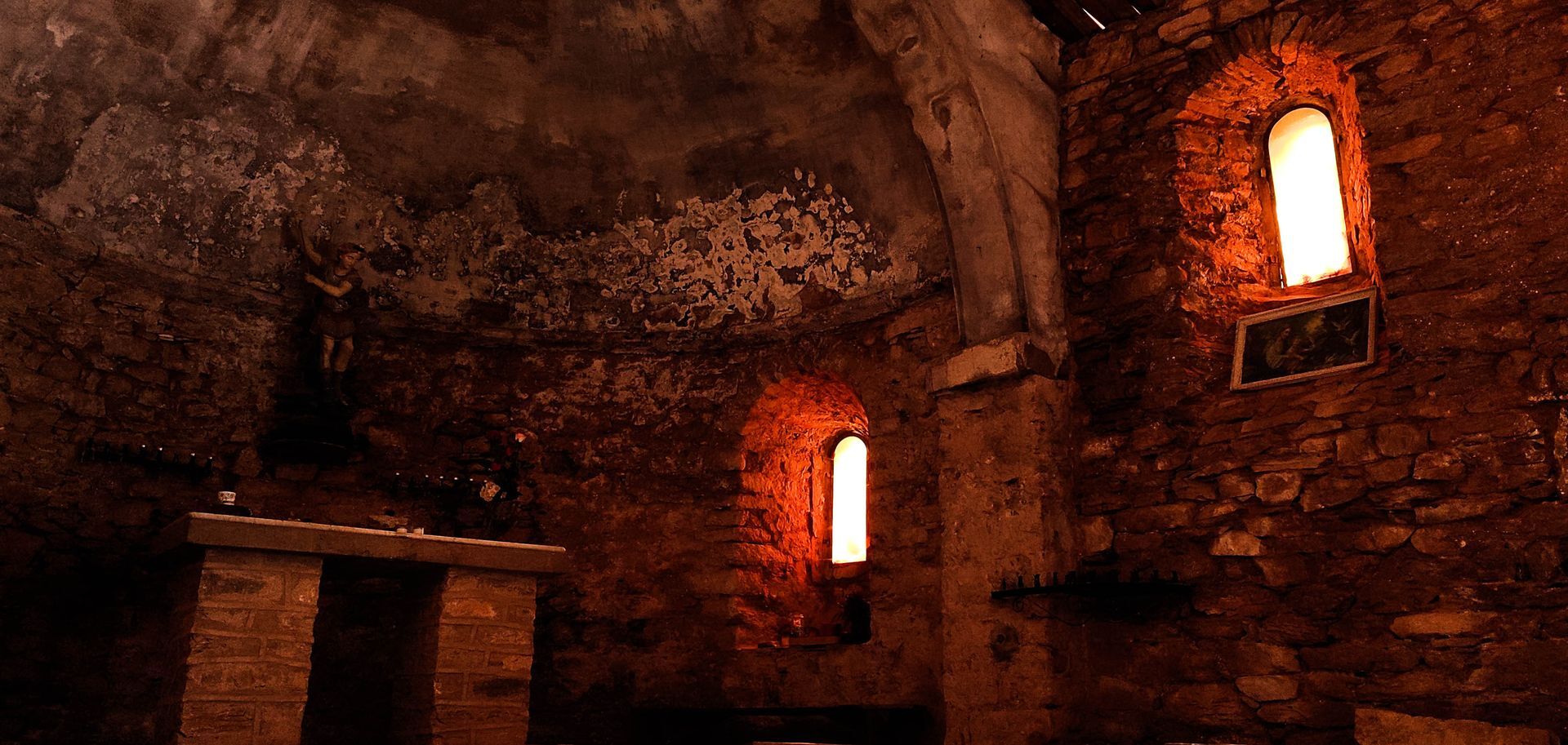
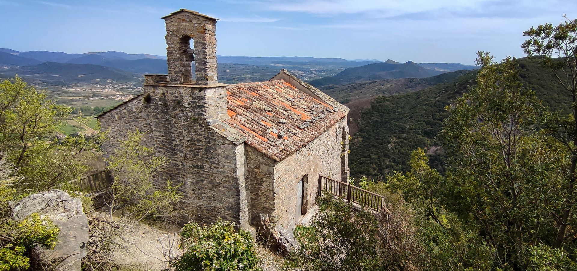
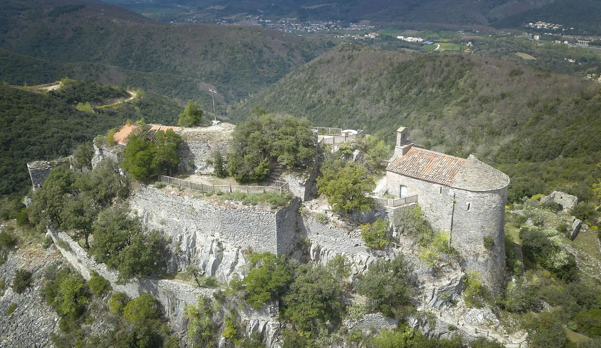
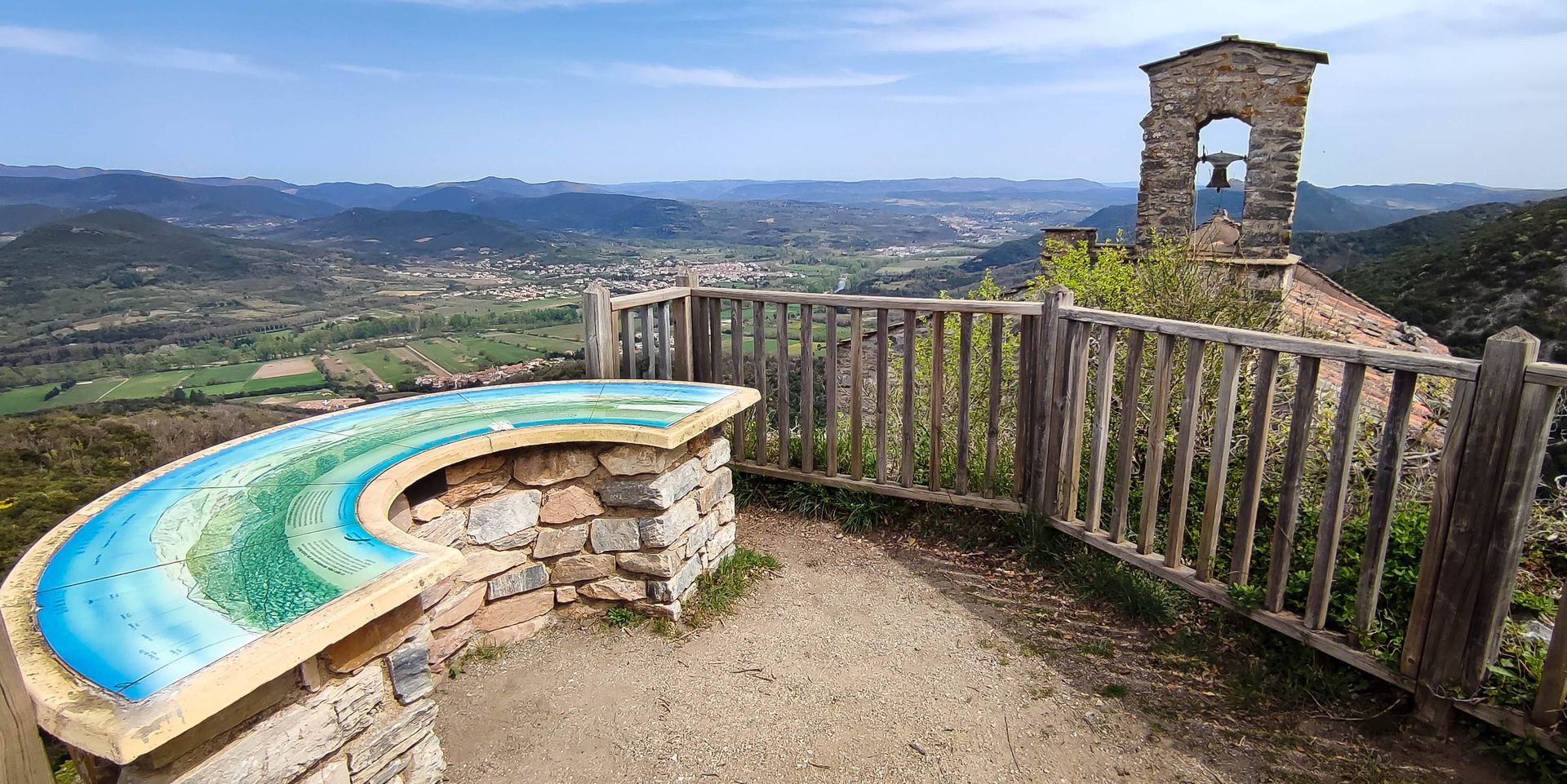
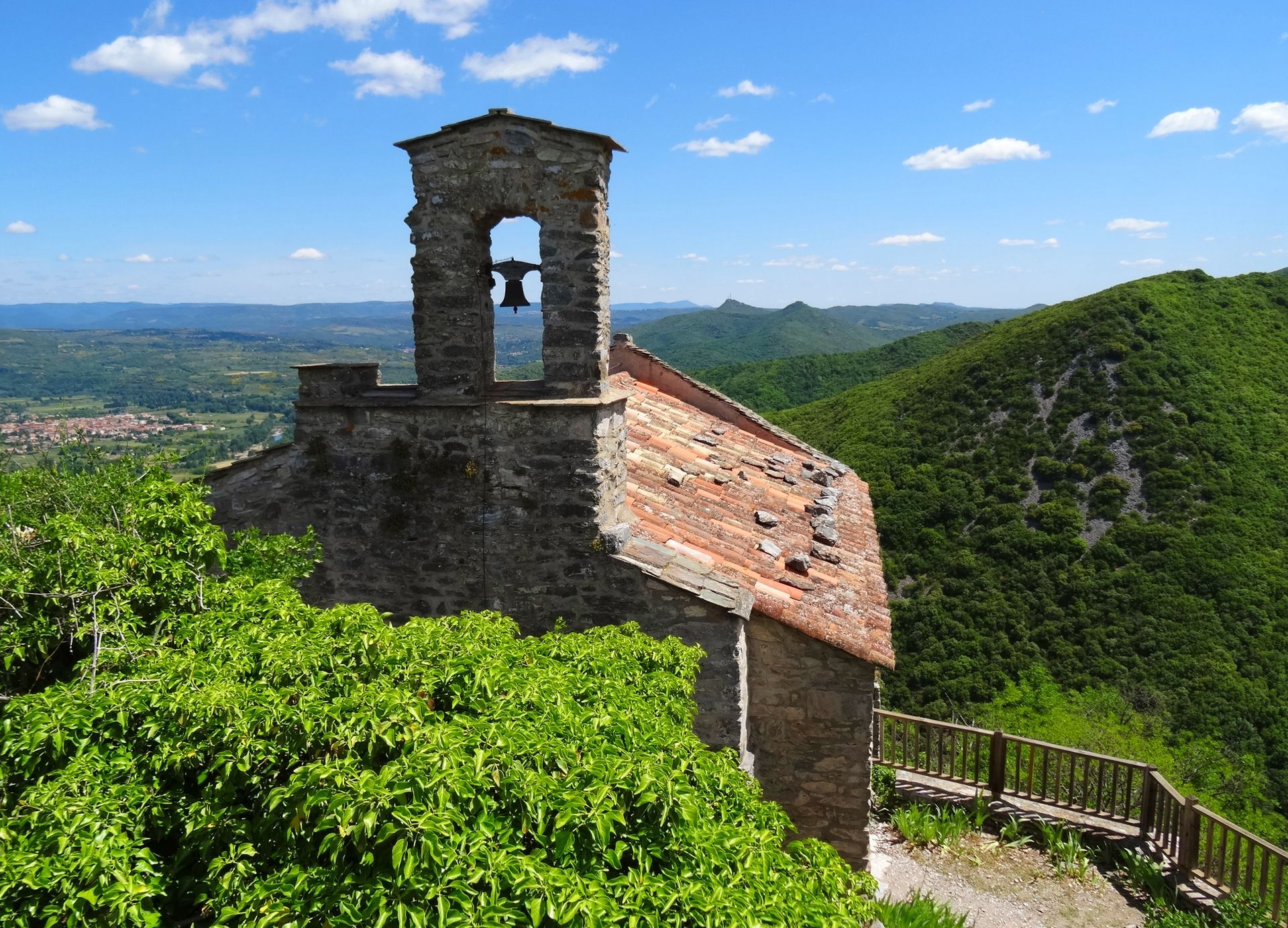
Access to the castle, the chapel of Saint Michel de Mourcairol and the orientation table: take the path on the right (yellow triangle marking). Go left for 400 m, continue by the path on the right towards the Pic de la Coquillade. At the Col de Ramas, climb the steep section on the left for 150 m before following the ridge.
4
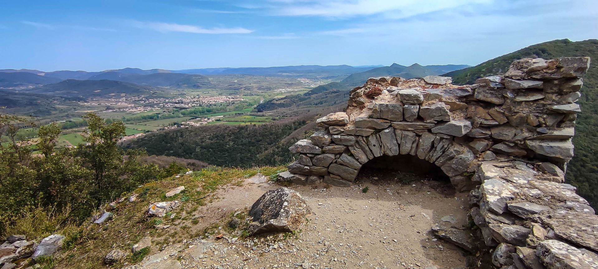
Turn left in the woods to stay on the ridge and reach the Pic de la Coquillade. Descend by the track that goes around the rocky peak. At the junction, leave the left track and follow the right track for 50 m.
5
Climb the embankment on the left, follow the ridge and, at the ruins, continue straight down into the woods. The path descends into a valley bottom, goes up the other side in the woods and climbs onto the ridge. At the crossroads, turn left, then take the left track coming from La Borie-Nouvelle.
6
500 m before the right turn, take the path on the left that winds through the woods. It passes the Balcas threshold, then descends on the north side of the Femme-Morte ridge. Descend along the track for 500 m.
In case of emergency, call 112.
Yellow PR
+33 4 67 95 70 91
OTC Grand Orb
PDIPR

Oblíbené prohlídky v okolí
- 4.0
GORGES DE COLOMBIERES HIKE
středníTuristika 12.0 km - 5.0
HIKING THE RED ROCK
středníTuristika 7.01 km - 5.0
PECH BELET HIKE
světloTuristika 4.41 km - 5.0
OENORANDO® THE VALLEY OF AROMAS
středníTuristika 13.7 km - 3.0
CYCLE LOOP No. 29 - FROM THE VALLEYS TO THE PEAKS OF HAUT-LANGUEDOC
středníJízda na kole 64.3 km HIKING OF THE HÉRIC GORGES VIA THE ORIENTATION TABLE
středníTuristika 16.3 kmCAROUX SUMMIT HIKE
středníTuristika 7.94 kmHIKING OF THE UPPER VALLEY OF THE MARE
středníTuristika 16.2 kmHIKING OF THE ROQUANDOUIRE GATEWAY
středníTuristika 10.5 kmRANDONNEE L'AYROLLE
středníTuristika 8.13 km

Pěší turistika a stopování


Nenechte si ujít nabídky a inspiraci pro vaši příští dovolenou
Vaše e-mailová adresa byl přidán do poštovního seznamu.