


ACCESSIBLE ITINERARY - NISSERGUES-HÉRÉPIAN GREENWAY HIKE
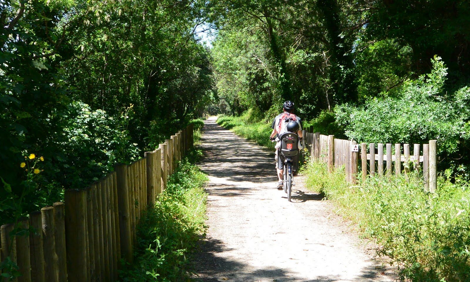
The Nissergues–Hérépian section of the Passa Païs offers a one-way trip of 2.6 km (5.2 km round trip) with an average slope of less than 2%.This greenway, developed on a former railway line, crosses the...
The Nissergues–Hérépian section of the Passa Païs offers a one-way trip of 2.6 km (5.2 km round trip) with an average slope of less than 2%.
This greenway, developed on a former railway line, crosses the Haut-Languedoc Regional Natural Park and symbolically connects the oceanic side and the Mediterranean side, hence its Occitan name "Passa País".
The departure can be made from Nissergues or from Hérépian, where you can visit the Bell and Cowbell Museum before setting off, or upon arrival.

1
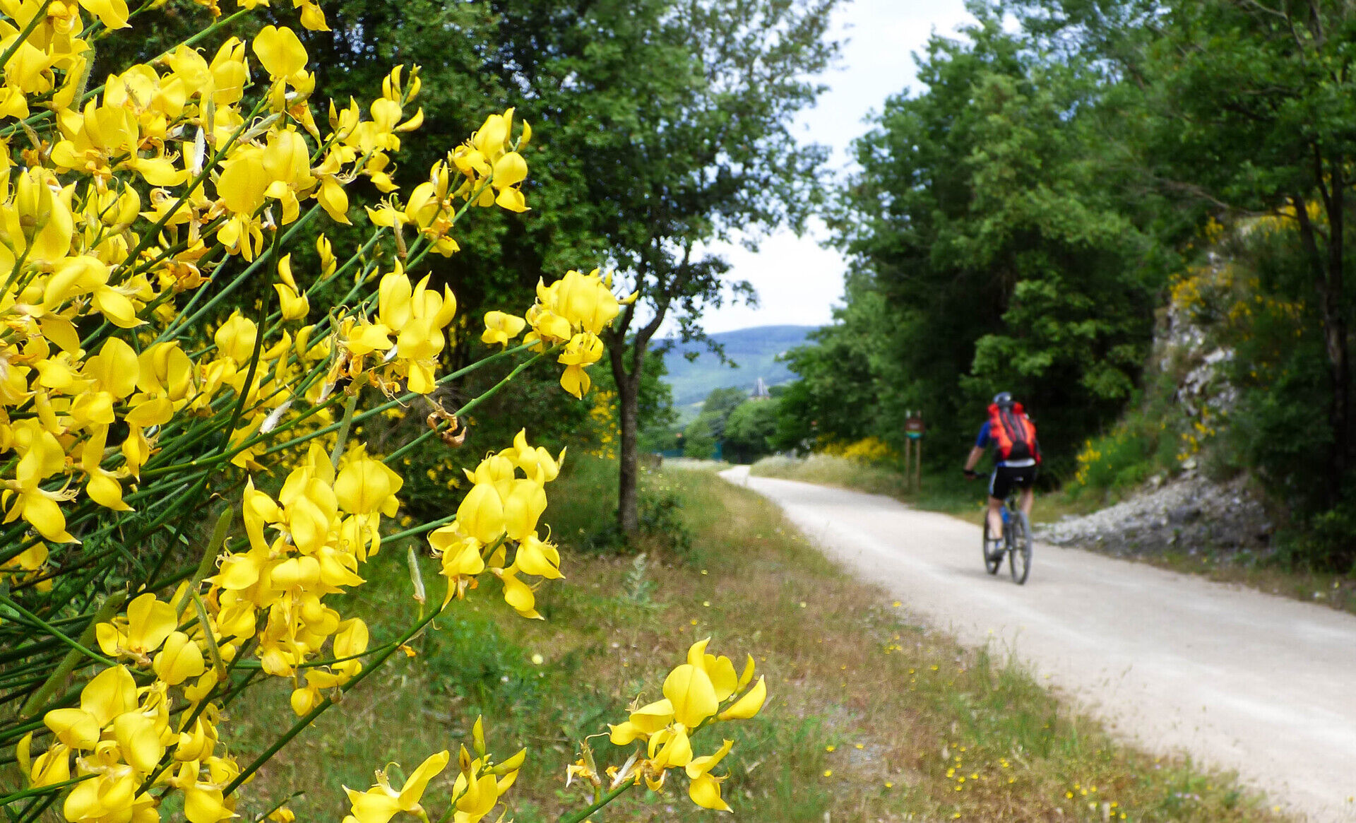
The greenway continues for 2.7 km with a fairly rough surface. In 250 m, you will encounter selective barriers as well as a road crossing. Throughout this section, three sets of barriers and several crossings require maintaining attention. The route is, however, punctuated by two rest areas, ideal for taking a break before continuing.
2
The selective barriers mark the beginning of a passage to be approached with caution, followed by a road crossing. After this point of caution, the path continues calmly; the next barriers are located about 600 m further.
3
This rest area, equipped with a bench, offers a welcome pause before continuing the route. It is a quiet and pleasant place to take a breath. The next rest area is about 650 m away, while the upcoming selective barriers and road crossing will appear in 600 m, inviting you to remain attentive as you resume the path.
4
The itinerary ends here! It’s an opportunity to discover the Bell and Cowbell Museum if you want to extend the visit before taking the path again. Nearby, a picnic area and restrooms are also available (key to be requested at the museum), with a short walk at the entrance.
Montpellier, A9, D909
Mobile coverage is generally ensured throughout the route.
"Greenway" Signs
+33 4 67 95 08 79
Bédarieux Tourist Information Office
Oblíbené prohlídky v okolí
- 4,0
GORGES DE COLOMBIERES HIKE
středníTuristika 12,0 km - 5,0
HIKING OF THE HÉRIC GORGES VIA THE ORIENTATION TABLE
středníTuristika 16,3 km - 5,0
HIKING OF THE L'ESPAZE ARBORETUM
středníTuristika 12,3 km - 4,0
CAROUX SUMMIT HIKE
středníTuristika 7,94 km - 5,0
HIKING THE RED ROCK
středníTuristika 7,01 km - 5,0
OENORANDO® THE VALLEY OF AROMAS
středníTuristika 13,7 km - 3,0
CYCLE LOOP No. 29 - FROM THE VALLEYS TO THE PEAKS OF HAUT-LANGUEDOC
středníJízda na kole 64,3 km HIKE OF SAINT MICHEL DE MOURCAIROL
středníTuristika 11,7 kmHERIC GORGES ROAD - MONS LA TRIVALLE
středníTuristika 9,38 kmHIKING OF THE ROQUANDOUIRE GATEWAY
středníTuristika 10,5 km
Pěší turistika a stopování


Nenechte si ujít nabídky a inspiraci pro vaši příští dovolenou
Vaše e-mailová adresa byl přidán do poštovního seznamu.