


Sentier des crêtes (variante)
The "place à couverts" is characteristic of the bastides, new towns created in Occitania and Aquitaine in the 13th century to develop trade. A little further on, you will see the listed gate of the old...
At the exit of the village, the chimney of an old brick factory catches the eye and bears witness to a now-abandoned local craft activity.
Throughout the route, there are beautiful views of the churches of Saint-Martin and Cabanès.
The "Vineyard Shortcut," with its "full nature" route, will delight enthusiasts seeking tranquility (starting at point 5 and ending at point 7).

1. From the Monument Square, next to the town hall, walk straight towards the 13th-century Place à Couvert. After the square, turn left onto the street and continue straight ahead.
2. Descend to the right on the gravel path towards the river. Cross the footbridge and follow the dirt path.
3. At the intersection with the road, turn right towards the roundabout and then continue towards Saint Martin. Walk for 350 meters and turn left.
4. At this fork, continue straight on the road. At the junction with the D 11, continue straight.
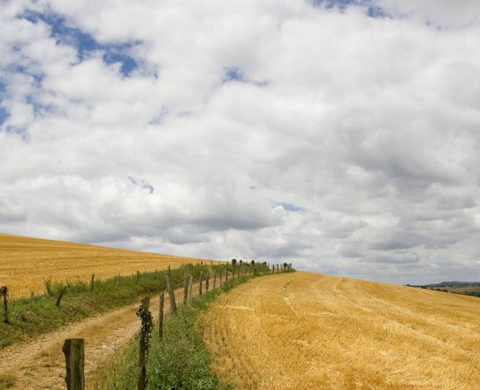
5. At this intersection, turn left onto the "Sentier des Crêtes, vineyard shortcut." After 20 meters, take the right onto the stony path. After 350 meters, cross the road and continue downhill between woods and meadows on this wide path for 2 kilometers until you reach LD Namans.
6. At the crossroads, turn left onto the road which becomes a grassy path. Continue straight from En Ségur to La Borie Blanche.
7. At this intersection, turn left and walk for 450 meters to reach the road, then turn right to descend back to the village.
Intermediate
Oblíbené prohlídky v okolí
Woad Path
světloTuristika 6.84 km- 5.0
Sentier des crêtes
středníTuristika 11.3 km Le circuit du pas du Loup
světloTuristika 9.89 kmSentier des coteaux
světloTuristika 10.0 kmPotters' Loop
světloTuristika 6.38 kmLa voie romaine
heavyTuristika 28.5 km- 5.0
Three Lakes Trail - Sentier des trois lacs
světloTuristika 8.22 km Oenorando® La Birado
světloTuristika 7.76 kmSentier de la plaine d'Agout
světloTuristika 6.74 kmLe circuit des Devèzes
světloTuristika 9.99 km
Pěší turistika a stopování


Nenechte si ujít nabídky a inspiraci pro vaši příští dovolenou
Vaše e-mailová adresa byl přidán do poštovního seznamu.