
Saint-Sauveur Walk
světlo
Pořiďte si tuto prohlídku do mobilního telefonu
Saint-Sauveur Walk
světlo
Turistika
3.17
km
Naskenujte QR kód a spusťte navigaci v aplikaci bergfex.


Pěší turistika a stopování





Saint-Sauveur Walk
světlo
Vzdálenost
3.17
km
Doba trvání
01:30
h
Ascent
214
hm
Hladina moře
376 -
599
m
Úroveň obtížnosti: T1
Stažení skladby
Saint-Sauveur Walk
světlo
Turistika
3.17
km
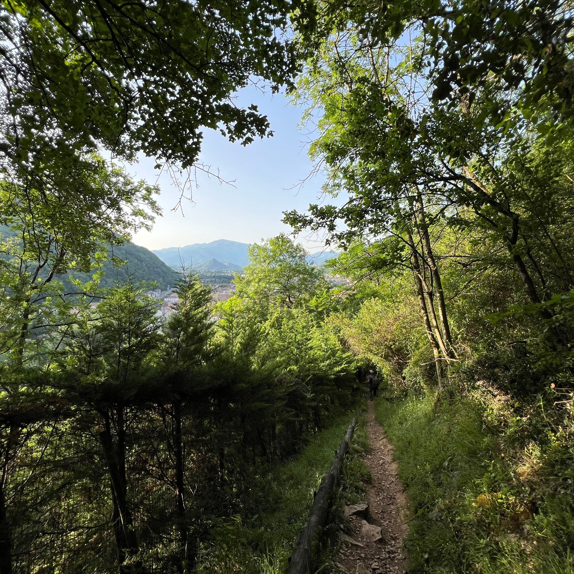
Well marked with sometimes steep slopes, the trail passes through a nearly Mediterranean natural woodland dominated by holm oak and boxwood.
Saint-Sauveur overlooks the Foix gorge, carved by the Ariège...
Popis
Well marked with sometimes steep slopes, the trail passes through a nearly Mediterranean natural woodland dominated by holm oak and boxwood.
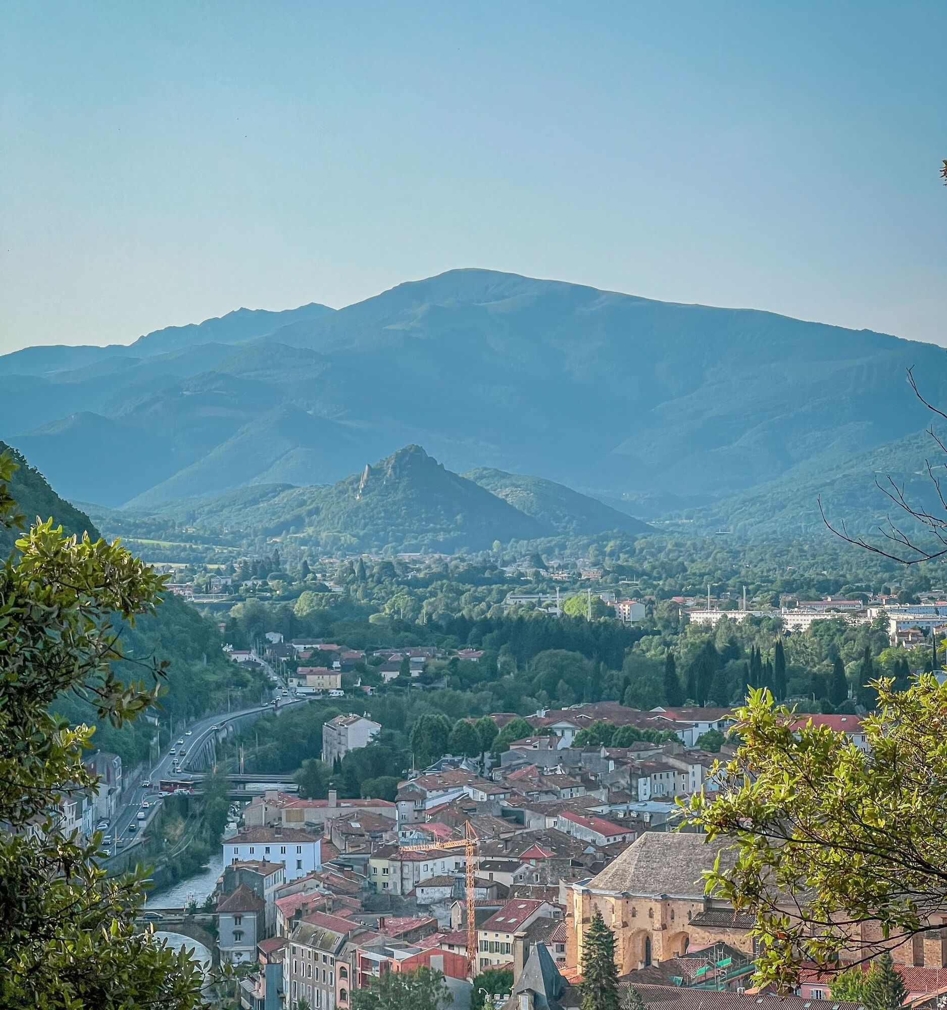
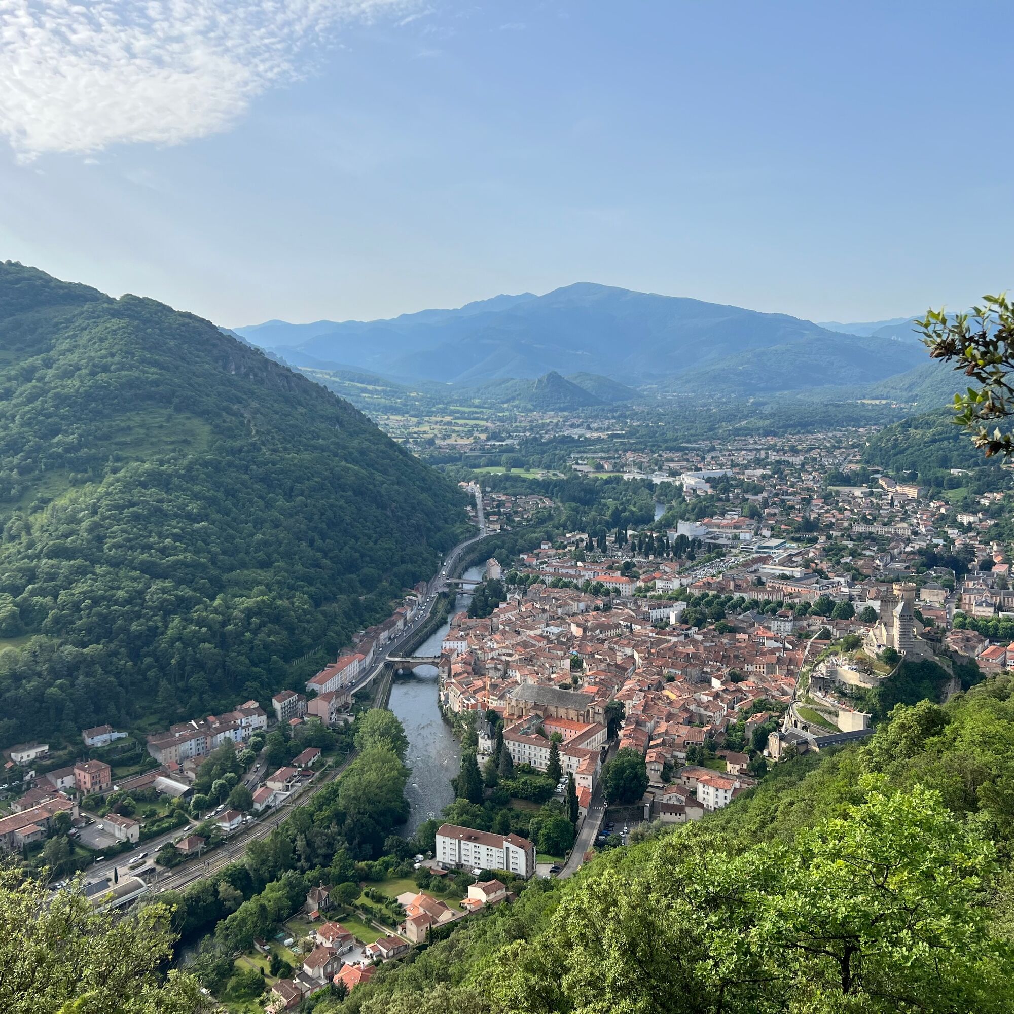
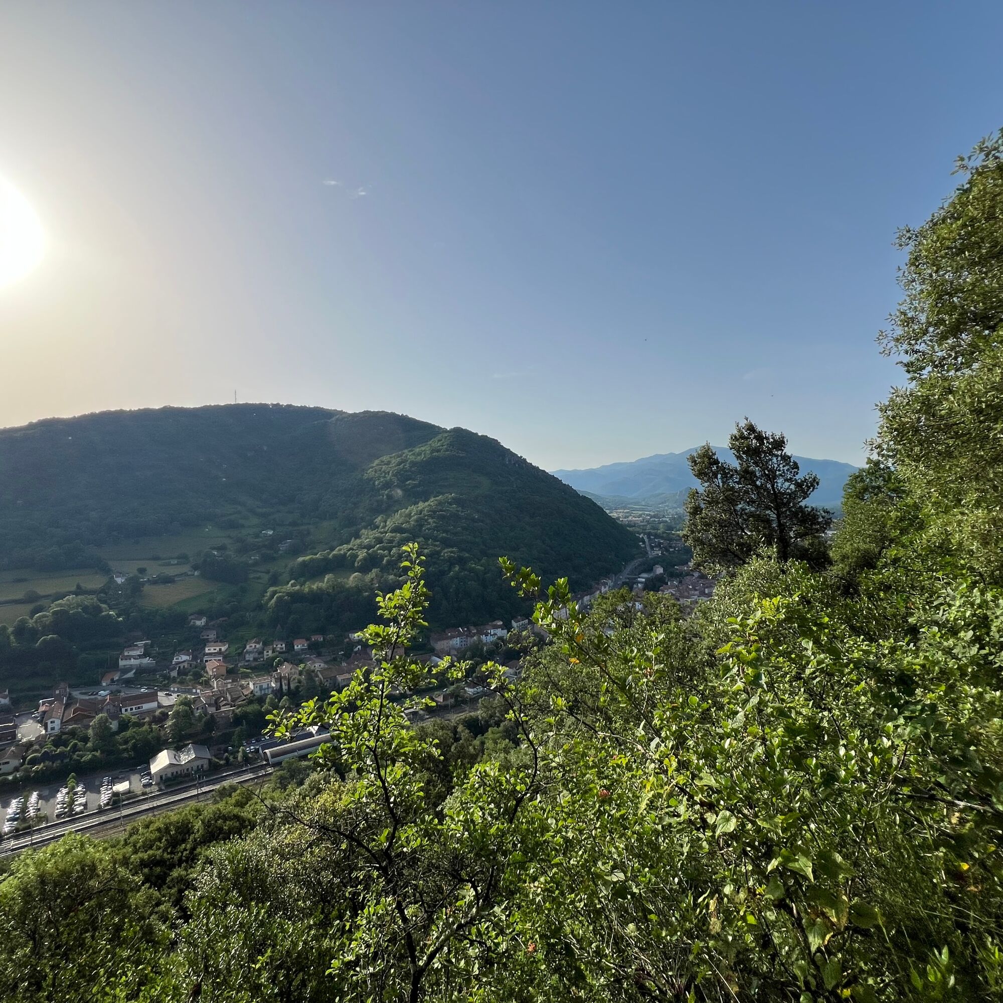
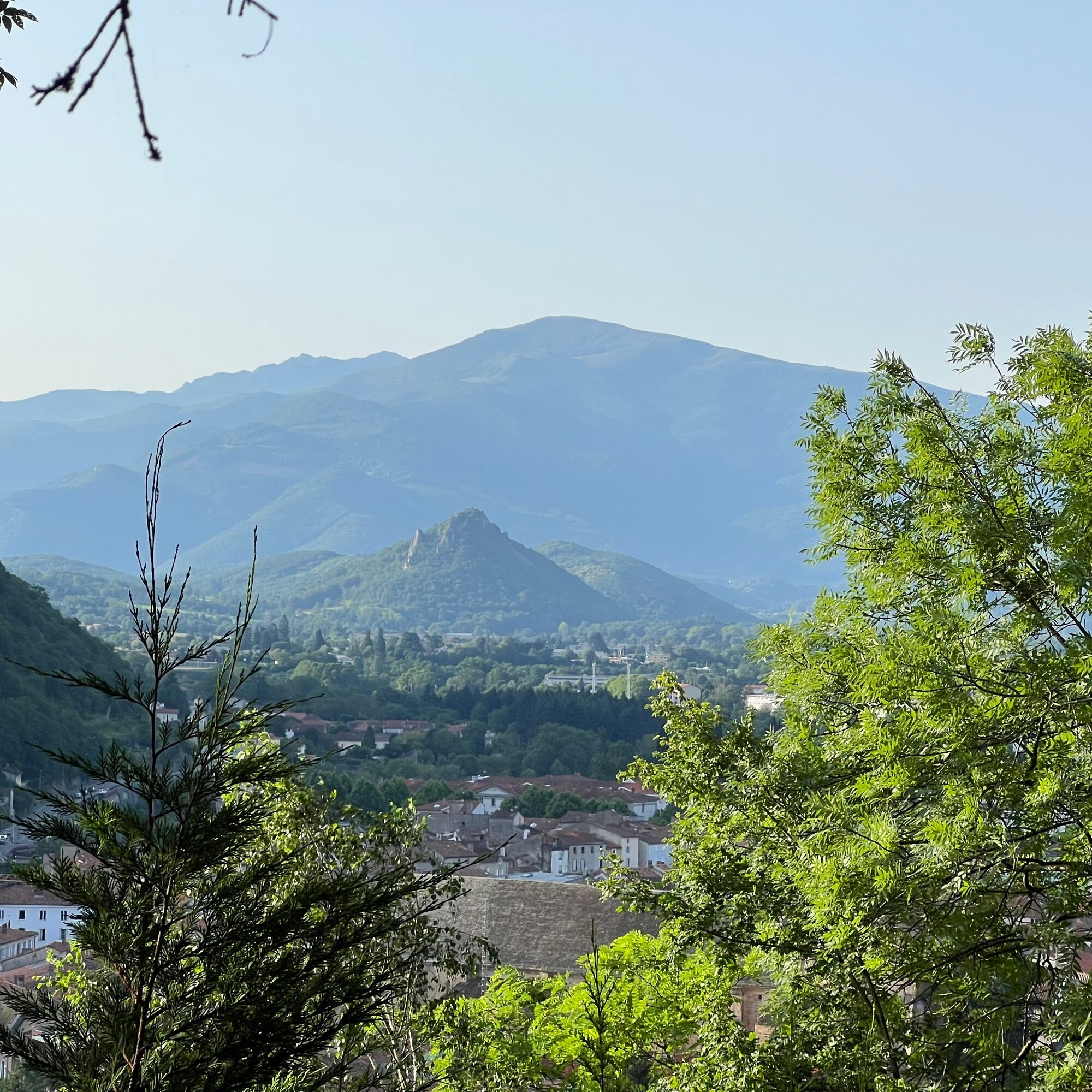
Saint-Sauveur overlooks the Foix gorge, carved by the Ariège river as it makes its way toward the Toulouse plain. The sweeping view of the town is superb: the historic center, the castle, the Saint-Volusien abbey, the Villote alleys, and the Old Bridge.
In the background, the Montgailhard peak, also called Sugarloaf, appears.
Behind it stands clearly Mount Fourcat (2001m), then Saint-Barthélemy peak (2348 m).
Saint-Sauveur overlooks the Foix gorge, carved by the Ariège river as it makes its way toward the Toulouse plain. The sweeping view of the town is superb: the historic center, the castle, the Saint-Volusien abbey, the Villote alleys, and the Old Bridge.
In the background, the Montgailhard peak, also called Sugarloaf, appears.
Behind it stands clearly Mount Fourcat (2001m), then Saint-Barthélemy peak (2348 m).
Trasa
Abbatiale Saint-Volusien
(383 m)
Místo konání bohoslužeb
0.3 km
Foix
(388 m)
Město
3.2 km
Trasa
Saint-Sauveur Walk
světlo
Turistika
3.17
km
Abbatiale Saint-Volusien
(383 m)
Místo konání bohoslužeb
0.3 km
Foix
(388 m)
Město
3.2 km


Informace o trase
Trasa
1 - From the Tourist Office, go down Delcassé street to take Labistour street on the left. Go straight ahead, to the right of the Oie fountain, following Marchands street to reach Saint-Volusien Square. Cross the square to the left to take Préfecture street then turn left onto Lespinet street. Cross the abattoir bridge and take Saint-Sauveur street to the right.
2 - The trail starts a little further on the left, between two low walls. It climbs steadily. On the left, see terraces and dry stone walls overrun by vegetation, remnants of a vanished agricultural activity.
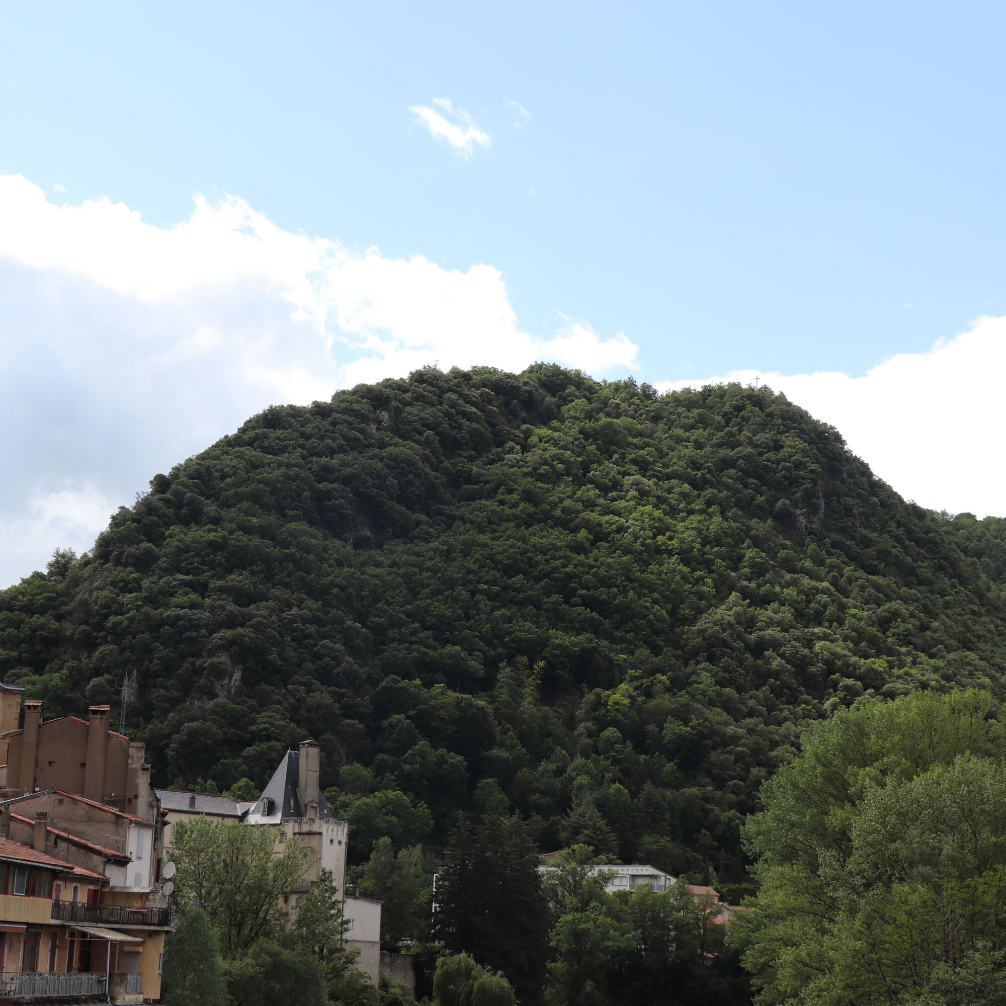
3 - After about 20 minutes of walking, the trail reaches a small crossroads. Leave the path going straight ahead to take the left path that ascends. A little further on, the view opens onto the station and the northwest slope of Pech de Foix with a landscape of terraces and bocage meadows now overgrown by forest.
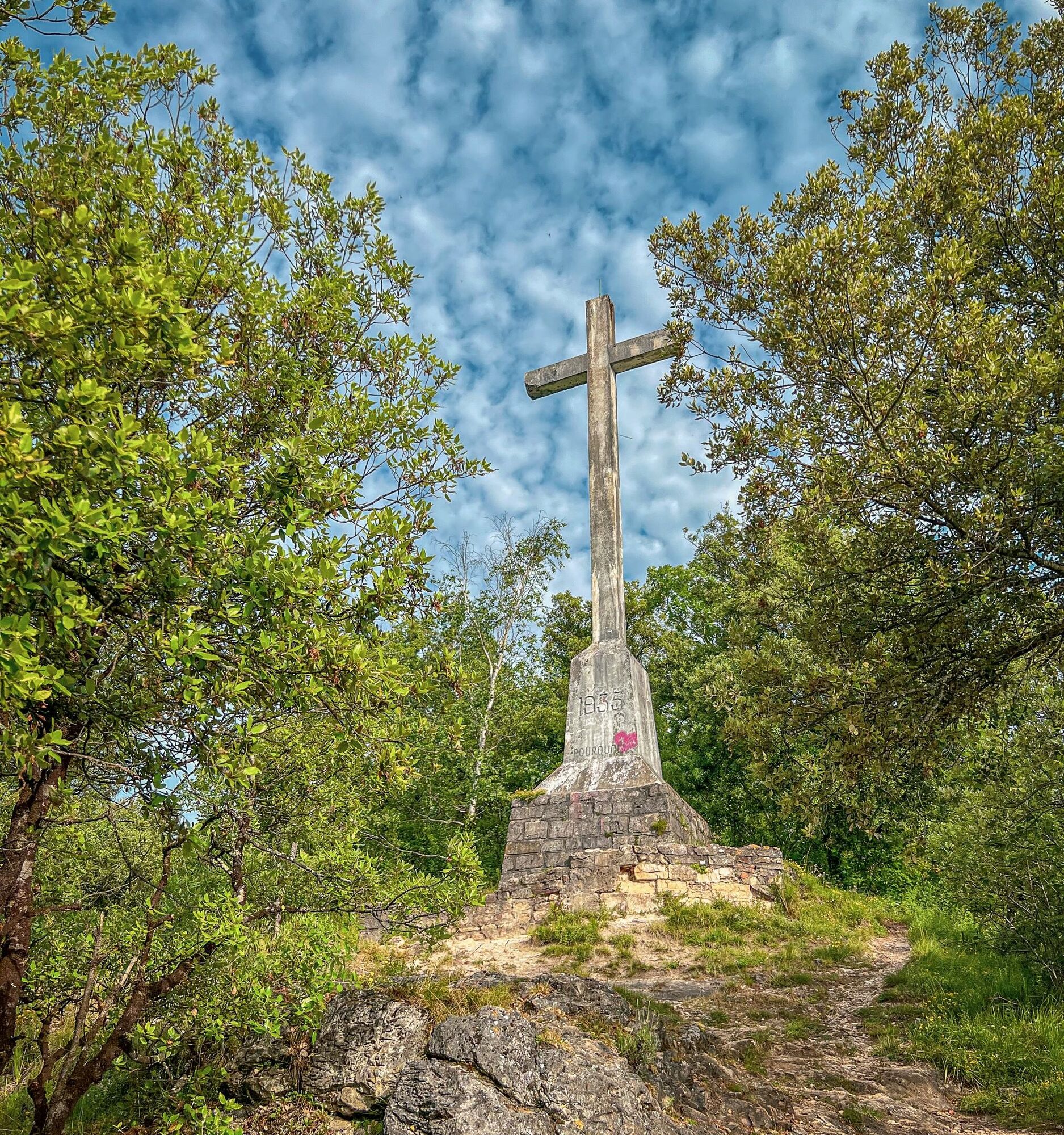
4 - Arrival at the Saint-Sauveur Cross erected in 1935 on the site of an old hermitage.
2 - The trail starts a little further on the left, between two low walls. It climbs steadily. On the left, see terraces and dry stone walls overrun by vegetation, remnants of a vanished agricultural activity.
3 - After about 20 minutes of walking, the trail reaches a small crossroads. Leave the path going straight ahead to take the left path that ascends. A little further on, the view opens onto the station and the northwest slope of Pech de Foix with a landscape of terraces and bocage meadows now overgrown by forest.
4 - Arrival at the Saint-Sauveur Cross erected in 1935 on the site of an old hermitage.
Geologické zajímavosti
Ano
Jednosměrná prohlídka
Ano
Další informace a tipy
Úroveň obtížnosti
T1
Zatím žádné recenze
Oblíbené prohlídky v okolí
-
The path of the 3 waterfalls
středníTuristika 7.20 km -
Cyclosport route 10 - The three bumps near Foix
heavySilniční kolo 78.8 km -
Les terrasses du Pech
světloTuristika 3.22 km -
Die Runde von Vals
světloTuristika 7.25 km -
Le Pic de Montgailhard
světloTuristika 3.26 km -
Balade du Pech de Montgailhard
středníTuristika 6.94 km -
The Ariège MTB Crossing - Stage 08: Pamiers to Montégut Plantaurel
heavyMountainbike 18.0 km -
St-Paul d'Arnave chapel
světloTuristika 5.22 km -
Hike to the castle of Roquefixade
světloTuristika 7.28 km -
The Laurède Mill
světloTuristika 1.77 km
Pěší turistika a stopování

Více než 550.000 návrhů výletů, podrobné mapy a intuitivní plánovač tras dělají z aplikace nezbytnou výbavu pro všechny milovníky přírody.

Nenechte si ujít nabídky a inspiraci pro vaši příští dovolenou
Přihlaste se k odběru newsletteru
Chyba
Došlo k chybě. Zkuste to prosím znovu.
Děkujeme za vaši registraci
Vaše e-mailová adresa byl přidán do poštovního seznamu.
Zájezdy po celé Evropě
Rakousko
Švýcarsko
Německo
Itálie
Slovenia
Francie
Nizozemsko
Belgie
Polsko
Lichtenštejnsko
Česko
Slovensko
Španělsko
Chorvatsko
Bosna a Hercegovina
Lucembursko
Andorra
Portugal
Iceland
United Kingdom
Ireland
Greece
Albania
North Macedonia
Malta
Norway
Montenegro
Moldova
Kosovo
Hungary
San Marino
Romania
Estonia
Latvia
Belarus
Cyprus
Lithuania
Serbia
Bulgaria
Monaco
Denmark
Sweden
Finland





