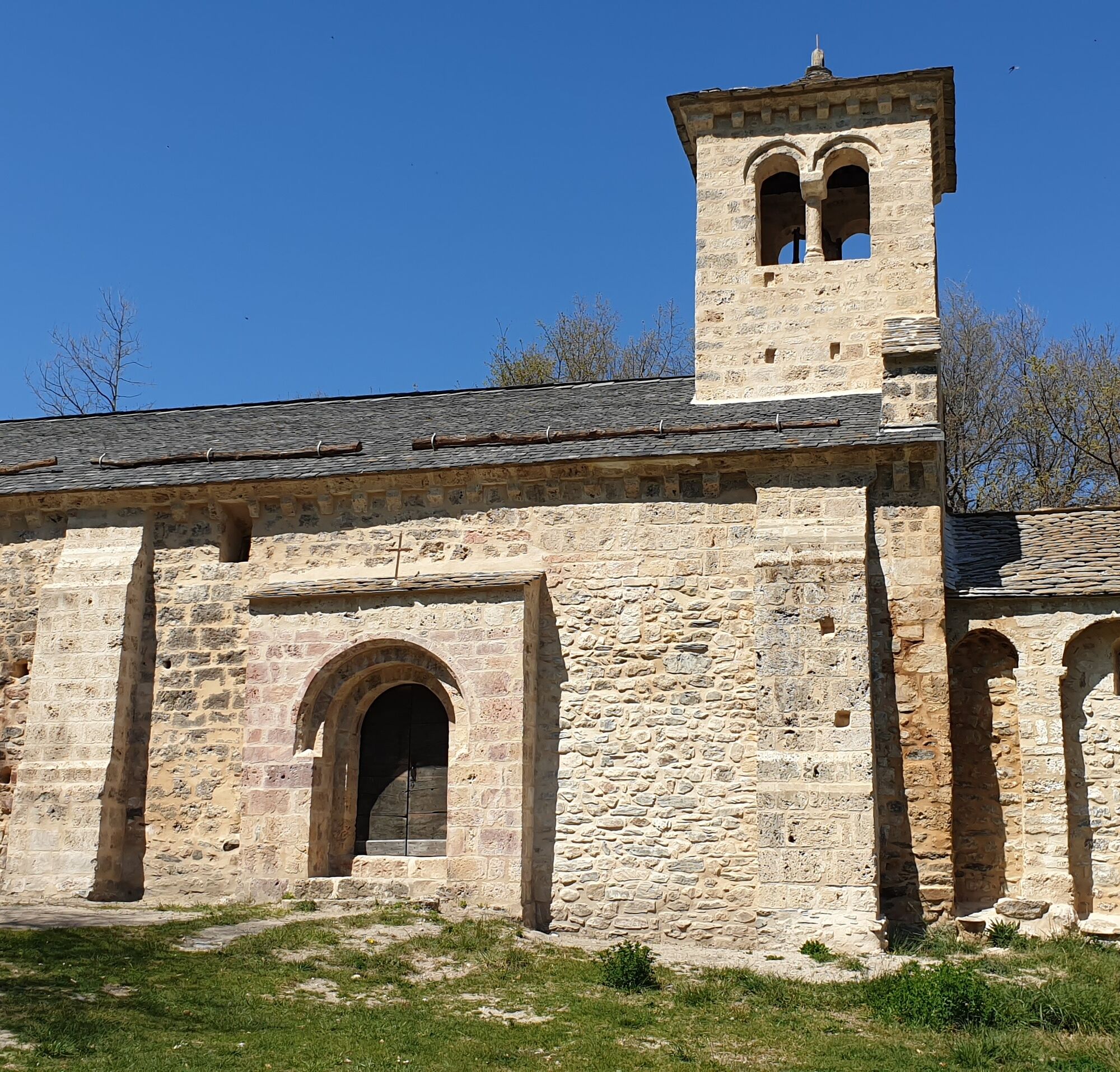
St-Paul d'Arnave chapel
světlo
Pořiďte si tuto prohlídku do mobilního telefonu
St-Paul d'Arnave chapel
světlo
Turistika
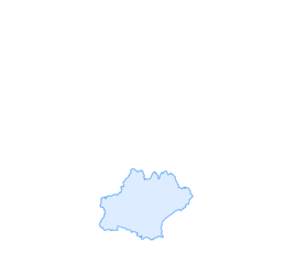
5.22
km
Naskenujte QR kód a spusťte navigaci v aplikaci bergfex.

Pěší turistika a stopování


St-Paul d'Arnave chapel
světlo
Vzdálenost
5.22
km
Doba trvání
02:10
h
Ascent
369
hm
Hladina moře
554 -
844
m
Stažení skladby
St-Paul d'Arnave chapel
světlo
Turistika
5.22
km
Access: By car, north of Tarascon, take the D618 towards Mercus. On leaving Bompas, turn right onto the D20, Route des Corniches, dotted with fine Romanesque chapels. In Arnave, park your car on the village...
Popis
Access: By car, north of Tarascon, take the D618 towards Mercus. On leaving Bompas, turn right onto the D20, Route des Corniches, dotted with fine Romanesque chapels. In Arnave, park your car on the village square near the plane trees and fountain.
Trasa
Église Saint-Pierre
(563 m)
Místo konání bohoslužeb
0.0 km
Église Saint-Pierre
(563 m)
Místo konání bohoslužeb
5.1 km
Arnave
(572 m)
Vesnice
5.2 km
Trasa
St-Paul d'Arnave chapel
světlo
Turistika
5.22
km
Église Saint-Pierre
(563 m)
Místo konání bohoslužeb
0.0 km
Église Saint-Pierre
(563 m)
Místo konání bohoslužeb
5.1 km
Arnave
(572 m)
Vesnice
5.2 km
Autor
Poskytuje Ariège Pyrénées Tourismus
Prohlídku St-Paul d'Arnave chapel zajišťuje outdooractive.com.

Informace o trase
Trasa
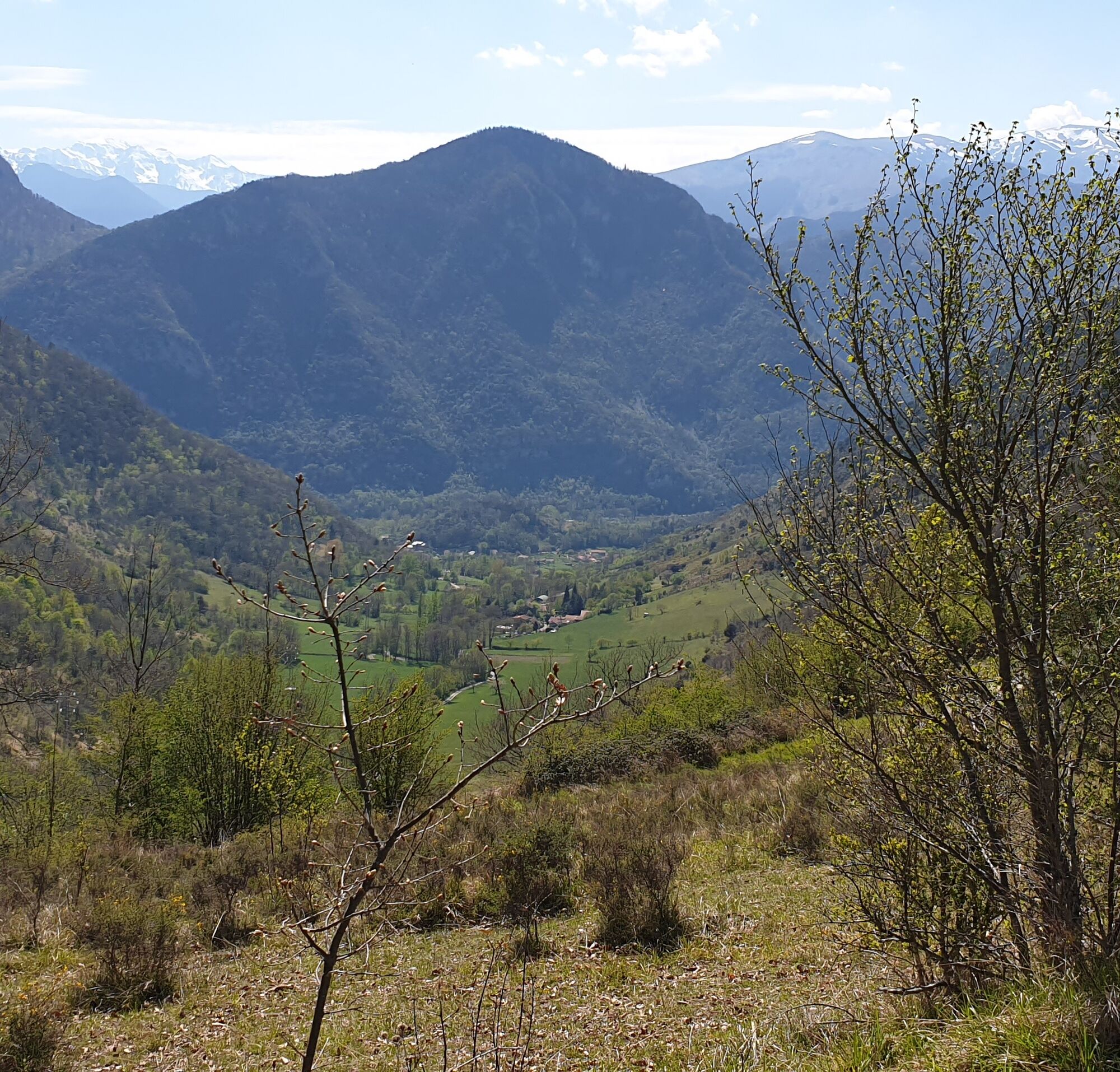
(D/A) From the village square at 570m, cross the Arnave bridge and immediately turn right. If you look carefully, you'll find the chapel on its promontory at the top of Saint-Paul. After ten minutes or so, close to the stream, the track begins to climb. Past the wide meadows of Miédevièle and the reservoir on the right, the track begins to climb steadily. You abandon it after a twenty-metre steep incline as it gets lost in the fields. Shortly afterwards, the track heads straight for the chapel.
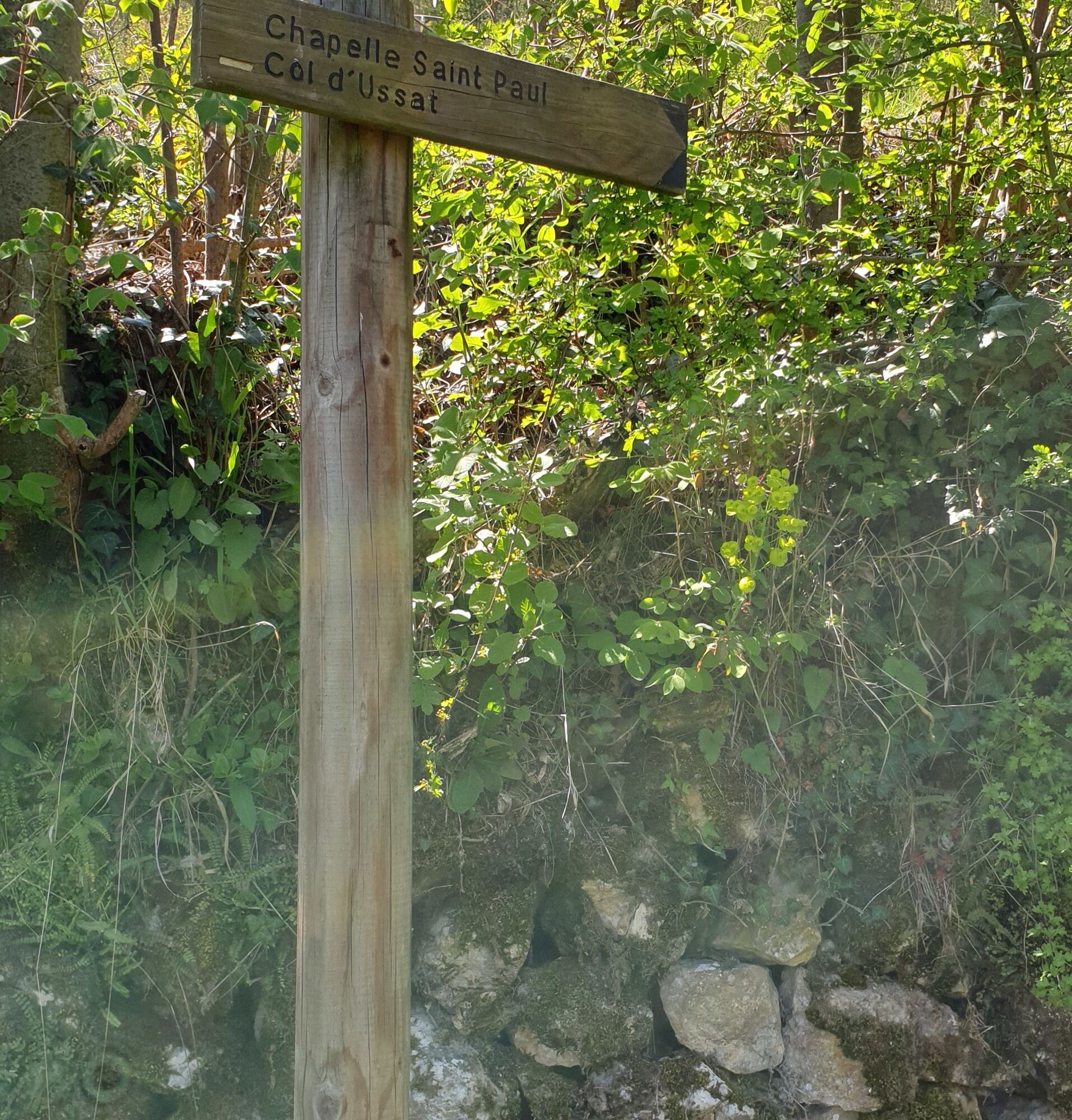
0h30 - CHAPELLE SAINT-PAUL (722m). Go left, due south, for the Col d'Ussat. You're entering the Forêt de Barthala. Descend, ascend, descend, and you pass to the right of the Orri de Pédissol.
0h55 - REPLAT DU PEDISSOL (755m). From the flat, you must make a right-hand turn. You'll soon reach the last hairpin bends of the climb up to the pass.
1h15 - COL D'USSAT (859m). At the crossroads. Go east at the pylon, towards Arnave.
1h40 - CHEMIN DE FRANQUE. The path takes you back to the D20, which you will have to climb for 200m.
2h10 - Via impasse de Trapadou and rue du Bayle, turn right into the village square.
Zatím žádné recenze
Oblíbené prohlídky v okolí
-
5.0
Blue Pond
světloTuristika 9.90 km -
Cyclosport route 11 - The Ariège cyclotour - Stage 5: from Ax-les-Thermes to Foix
heavySilniční kolo 93.0 km -
Cyclotour de l'Ariège in 5 days
heavySilniční kolo 441.0 km -
Le chemin des 3 cascades
středníTuristika 7.20 km -
Cyclosport route 10 - The three bumps near Foix
heavySilniční kolo 78.8 km -
Les terrasses du Pech
světloTuristika 3.22 km -
Circuit cyclotourisme - Au tour du pic des trois seigneurs
heavySilniční kolo 74.2 km -
Saint-Sauveur Walk
světloTuristika 3.17 km -
Cyclosportive route 11 - The Ariège cycle route - Stage 3: from Auzat to Prades
heavySilniční kolo 107.4 km -
Cyclosport route 9 - The wall of Péguère
heavySilniční kolo 69.7 km
Pěší turistika a stopování

Více než 550.000 návrhů výletů, podrobné mapy a intuitivní plánovač tras dělají z aplikace nezbytnou výbavu pro všechny milovníky přírody.

Nenechte si ujít nabídky a inspiraci pro vaši příští dovolenou
Přihlaste se k odběru newsletteru
Chyba
Došlo k chybě. Zkuste to prosím znovu.
Děkujeme za vaši registraci
Vaše e-mailová adresa byl přidán do poštovního seznamu.
Zájezdy po celé Evropě
Rakousko
Švýcarsko
Německo
Itálie
Slovenia
Francie
Nizozemsko
Belgie
Polsko
Lichtenštejnsko
Česko
Slovensko
Španělsko
Chorvatsko
Bosna a Hercegovina
Lucembursko
Andorra
Portugal
Iceland
United Kingdom
Ireland
Greece
Albania
North Macedonia
Malta
Norway
Montenegro
Moldova
Kosovo
Hungary
San Marino
Romania
Estonia
Latvia
Belarus
Cyprus
Lithuania
Serbia
Bulgaria
Monaco
Denmark
Sweden
Finland