







CRETE DE LA TAILLADE AND ROCHER DU CAUSSE HIKE
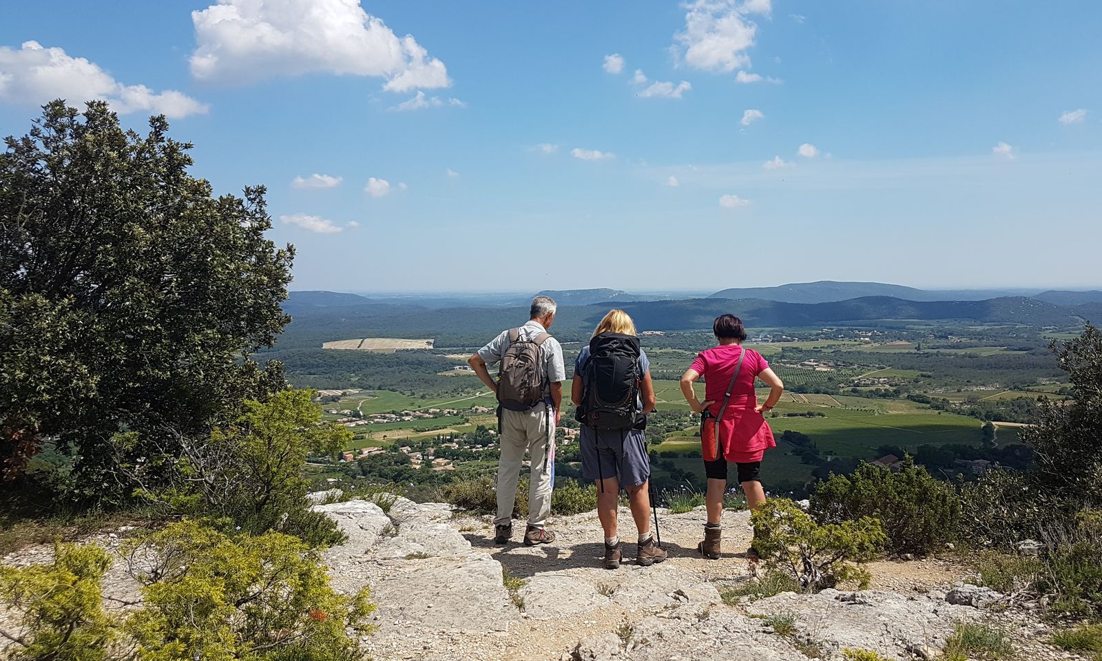
This long hike along the ridges overlooking the Claret wine-growing plain takes you to the Rocher du Causse oppidum, via a succession of magnificent viewpoints.


1
From the parking lot, take Avenue du Nouveau-Monde, then Place de l'Hermet. Cross avenue de Montpellier and continue straight ahead on rue Léon-Antérrieu. At the end, turn right and ford the Cagarel and Conques streams (impassable during floods). Climb a path between low walls. At the track, go left for 450 m.
2
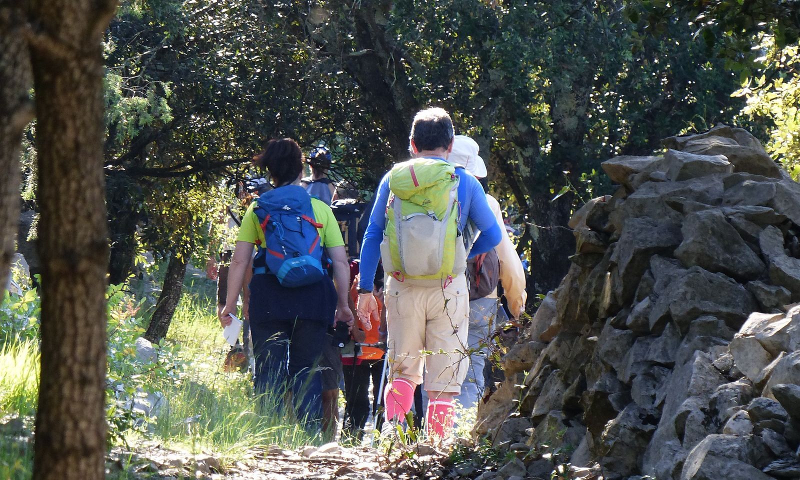
Turn right at an olive grove. The stony path continues through the Patus du Bois des Rabassières lands, between low walls and old cultivated plots, and joins the DFCI F40 track. Follow it to the left, passing a gate. Turn right, passing a DFCI tank. Continue uphill to Matte de Maurice.
3
Turn left and continue uphill, passing a vineyard and a balcony. At the Caladas fork, go left for 80 m.
4
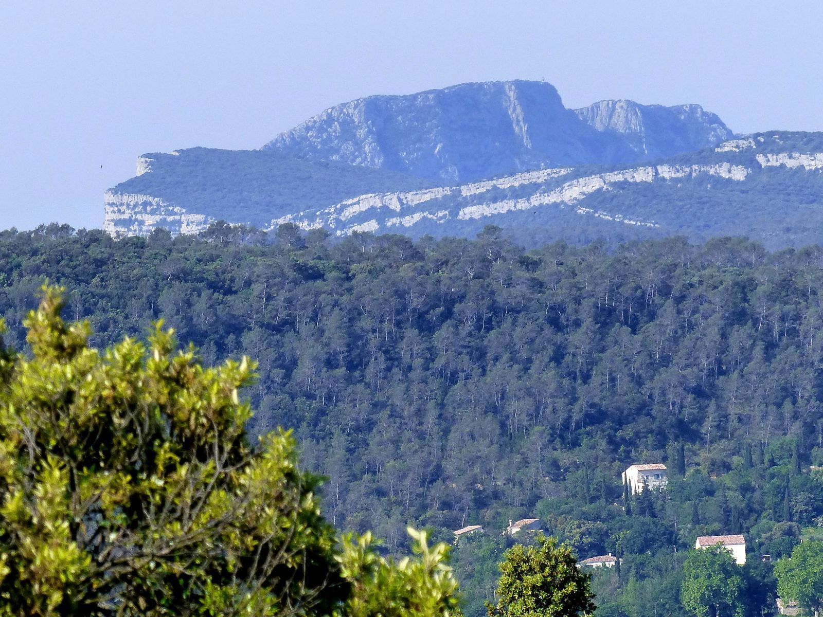
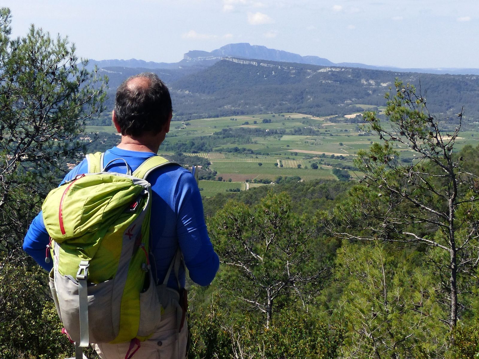
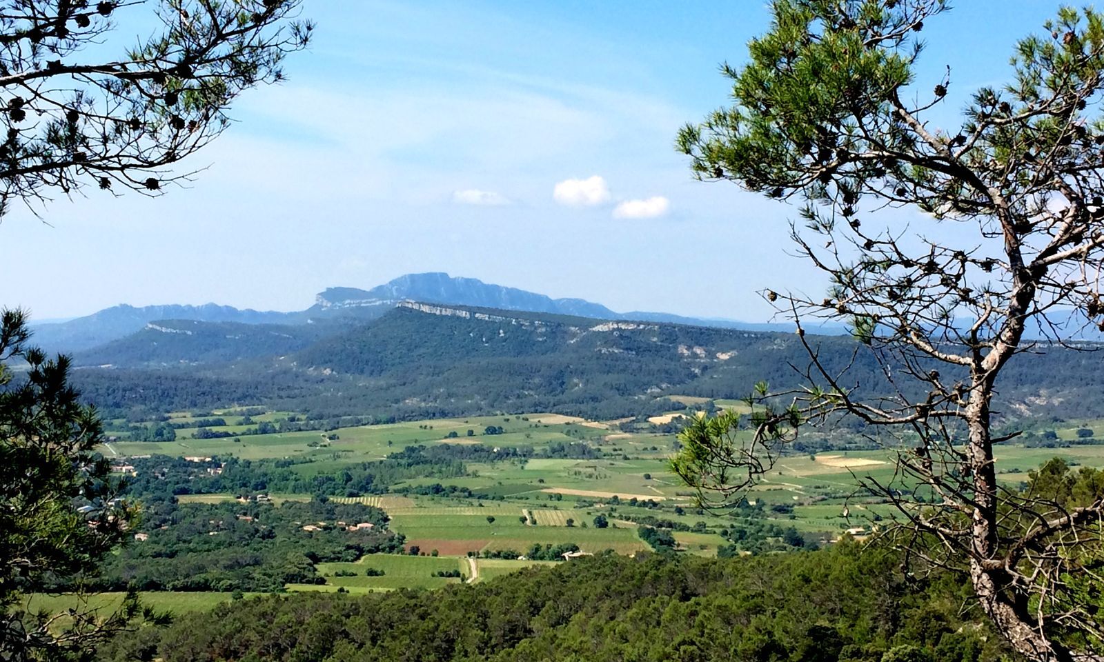
Climb to the right, climbing two hillocks (from the Tout Auras ridge, view to the right of Mont Saint-Jean and the Aigoual massif, to the left of Claret and Pic Saint-Loup). Continue along the Taillade ridge (on the right, capitelle and shepherd's turret), through evergreen and white oaks, to reach a crossroads.
5
Continue straight ahead on the wide crest track. 350 m further on, take a path on the left (650 m from the intersection, note a buried cistern). Rejoin the track and reach the D107. Cross the road and take the right-hand track around Grand Puech to rejoin the D107E4.
6
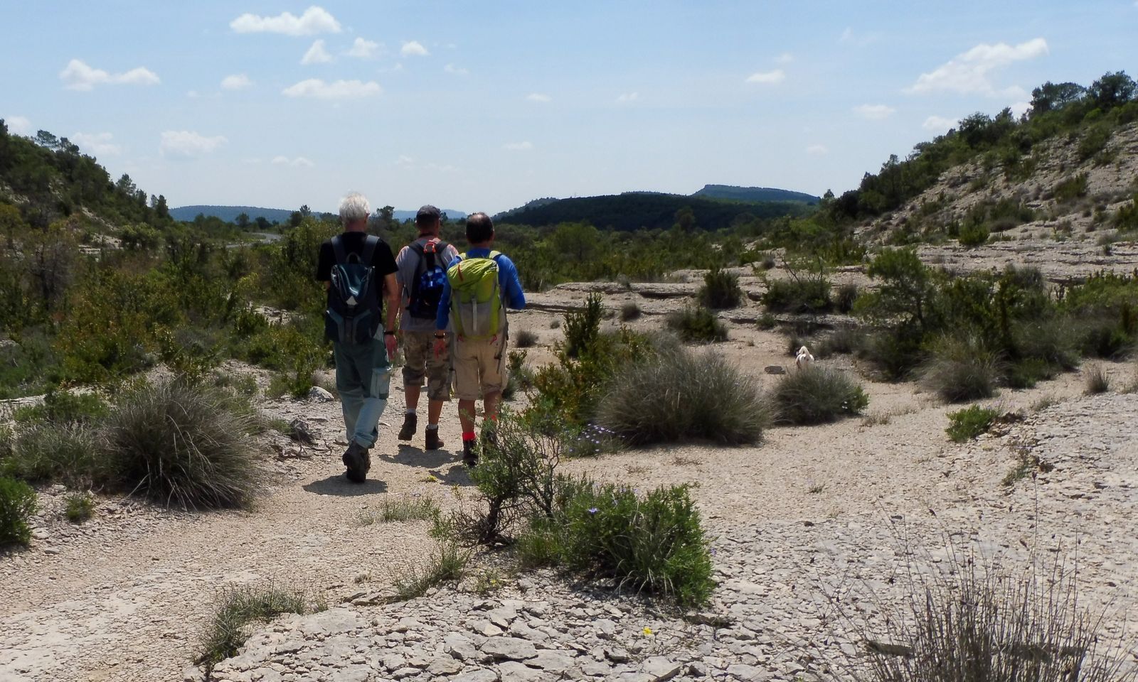
Opposite, take a path through the moorland (follow the signs), passing along the edge of the Cougnets reculée. Continue between oaks and box trees. The path becomes a track and reaches a crossroads.
7
Turn left onto the track, passing the Espinas pond. The path crosses two low walls. After the second low wall, Les Clapasses (possibility of shortening the circuit to 17.5 km, continuing straight ahead to Pas du Renard on the GR® de Pays, yellow-red markings), turn right and pass a lavogne (pond). Go around the Mas Neuf buildings to the right (follow the signs).
8
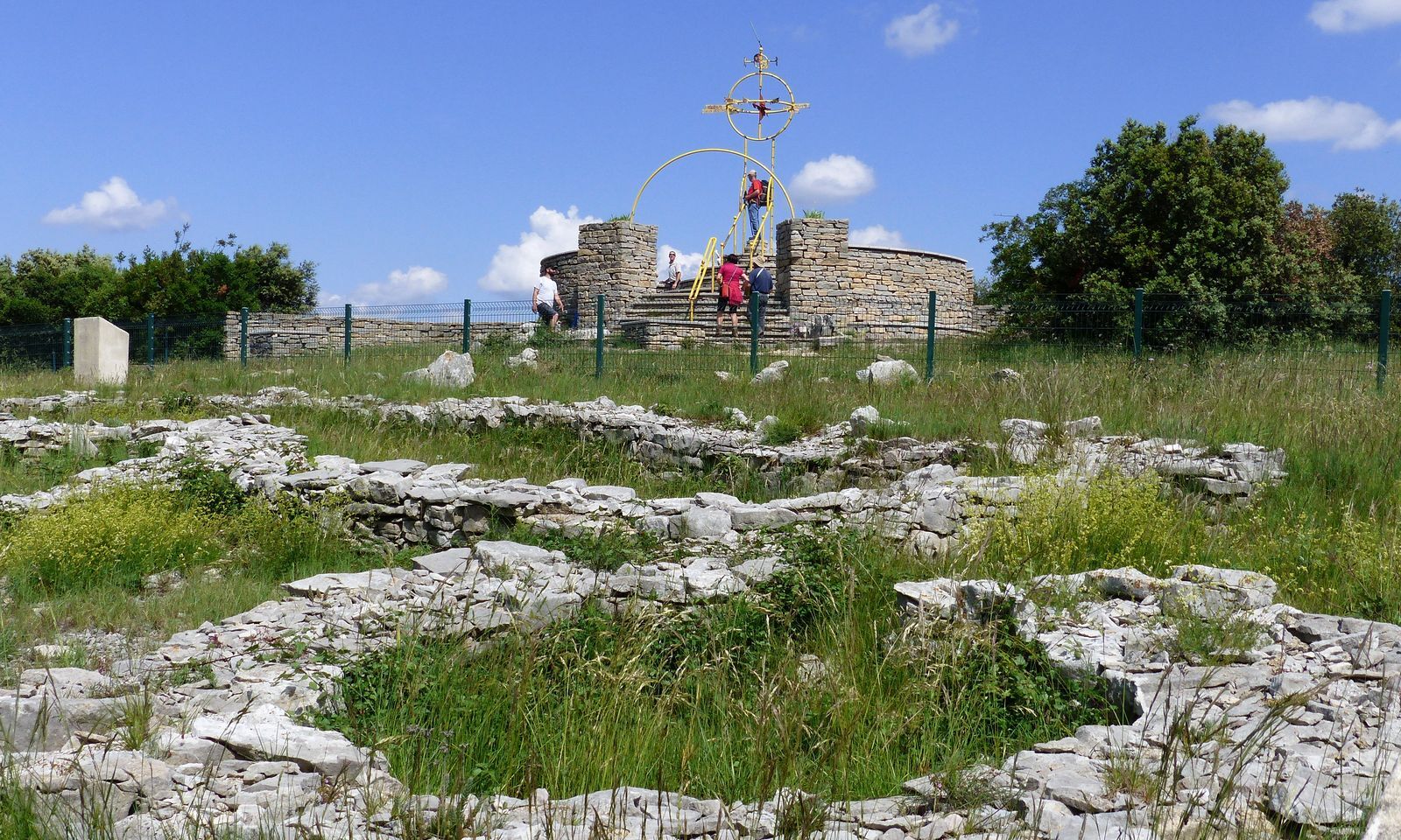
Rejoin the GR de Pays and climb left onto the plateau. Continue to the right and reach the Rocher du Causse lookout: theme panels, landscape reading table (360° view: from right to left, the Hortus and Pic Saint-Loup, Canigou in the background, the sea, Mont Ventoux, Mont Lozère, Mont Aigoual, Roc Blanc and Séranne). Descend to the right, exit the enclosure and take a path winding along the edge of the plateau (take care around the cliffs).
9
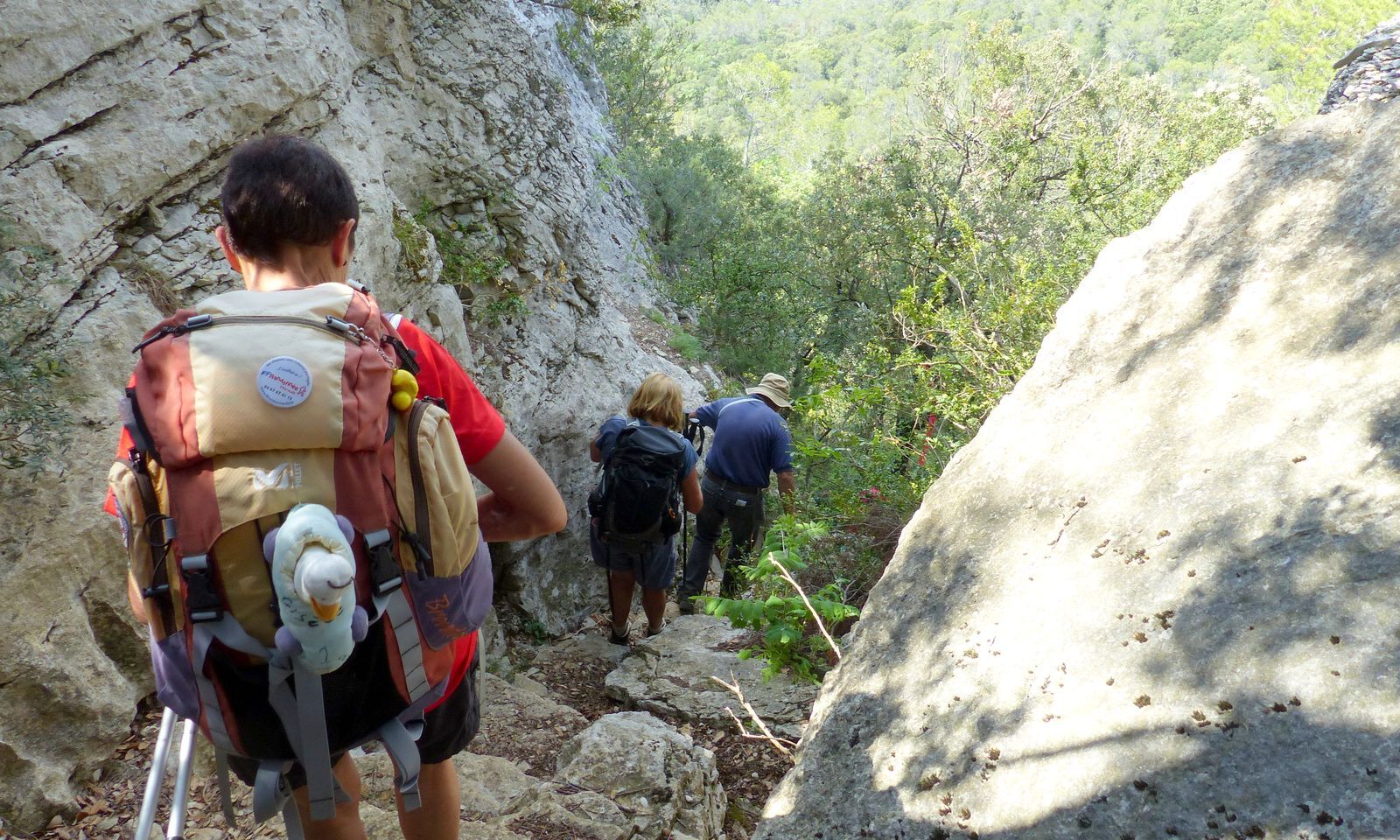
Turn right onto a track leading down into the Pas du Renard fault (take care). Continue along a gullied path above the Gratet ravine, between oaks and pines. Further down, pass between two vineyards and continue on the tarmac path to the hamlet of Le Bouyssier. At the hydrant, turn left (Chemin du Bouyssier) and cross a ford. Turn right, then right again on Avenue des Embruscalles. 100 m further on, turn right on chemin du Mas Blanc. Turn left into chemin des Charettes (distillery producing Cade oil). Turn left into rue du Camp Rouge to reach the parking lot.
In case of emergency, call 112.
Not to be undertaken in case of heavy rain (flooding), steep ascents and descents, follow the signs carefully, be careful around the cliffs and at the Pas du Renard.
PR Yellow
https://www.grandpicsaintloup-tourisme.fr
Office de Tourisme du Grand Pic Saint-Loup
PDESI
Oblíbené prohlídky v okolí
-
4.0
PIC SAINT LOUP HIKE
středníTuristika 2.64 km -
RAVIN DES ARCS HIKE
středníTuristika 3.83 km -
5.0
CHARBONNIERES HIKE
světloTuristika 5.24 km -
4.0
BOIS DE LÈQUE HIKE
světloTuristika 9.34 km -
CYCLE LOOP No.5 - THE PIC SAINT-LOUP ROUTE
světloJízda na kole 42.1 km -
WINE ROUTE AROUND THE GORGES DE L'HERAULT
Motorrad 57.9 km -
LOOP CYCLO N°14 - LE TOUR DU PUECH DES MOURGUES
světloJízda na kole 25.8 km -
HIKING TOUR DES LONDRES TO BUÈGES - GR® DE PAYS TOURS IN GRAND PIC-SAINT-LOUP
středníTuristika 53.8 km -
RANDONNEE DES ASPHODELES
světloTuristika 3.40 km -
TOUR ENTRE VIGNES ET CAUSSE - GR® DE PAYS TOURS EN GRAND PIC SAINT-LOUP
středníTuristika 71.1 km

Pěší turistika a stopování


Nenechte si ujít nabídky a inspiraci pro vaši příští dovolenou
Vaše e-mailová adresa byl přidán do poštovního seznamu.





