







RAJOLS HIKE

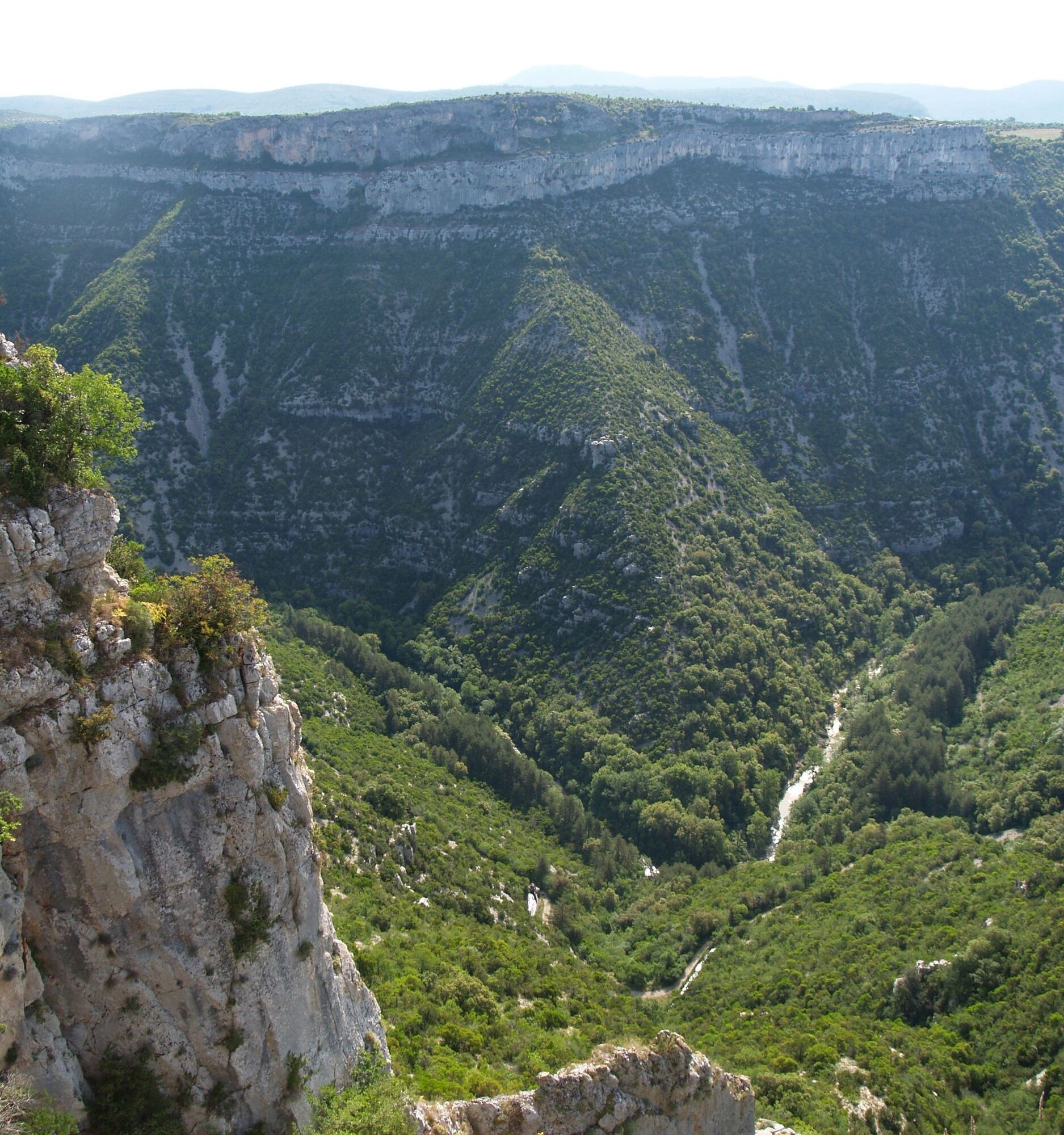
This Caussenard hike crosses vegetation that has adapted to the harsh climate and opens unique viewpoints on the bends of the Vis and on the depression of the Navacelles cirque.


1
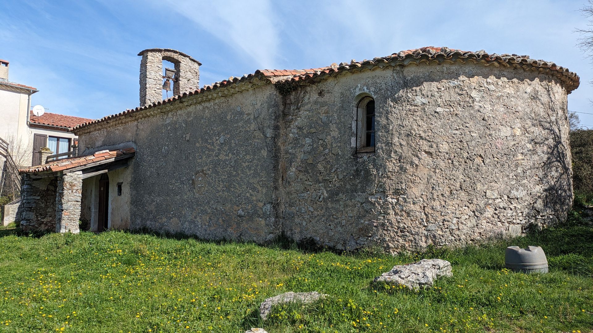
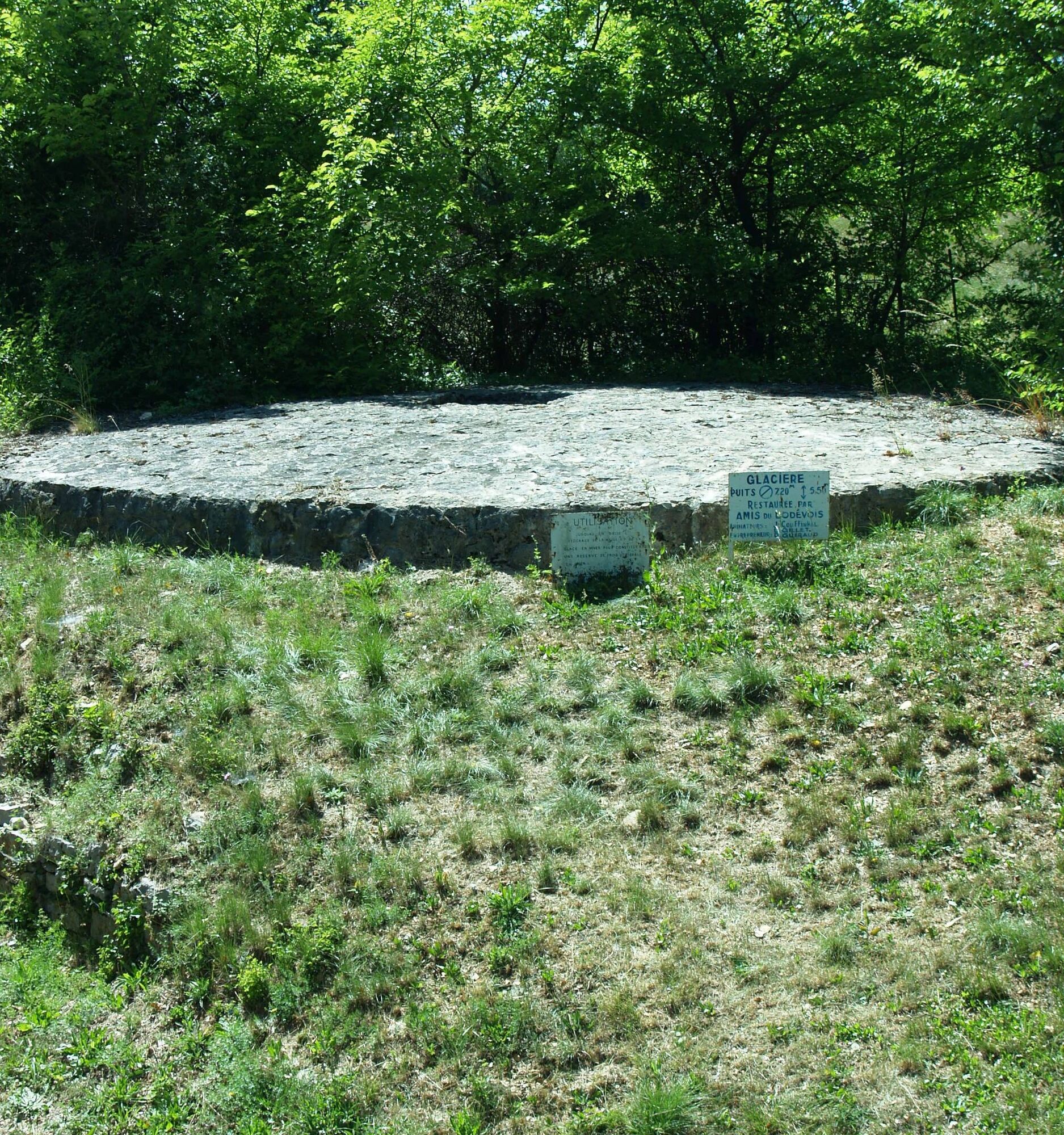
From the parking lot, climb the stairs, cross the D 25 at the crosswalk and use the stairs to the right of the town hall across the street. Follow the street to the right and, facing the castle (drinking water), head left. Take the road to the right. It leaves the village, passes the cemetery then an old icehouse. At La Clastre, take the D 152E to the left up to the chapel, then enter the track to the left (GR® 74). Cross the D 25 (caution), then follow it to the right for 100 m walking on the shoulder before turning left onto the track. Further on, cross a gate and continue on the main track ignoring several trail departures.
2
At the intersection, veer left and continue straight ignoring the track on the left. Go up, cross the gate and descend via the main track. Take the D 130 to the right up to the entrance of the mas de Gay.
3
Leave the road immediately turning left onto a path lined with boxwood (bypass of the hamlet). Continue (follow the markings carefully) and reach a crossroads. Head right along a path winding through vegetation. Descend a slight hollow, climb up, cross the fence and continue through the boxwoods. Climb the stony track, then leave it shortly after to enter right under the oaks along a fence. Cross a track twice and reach Ranquet.
4
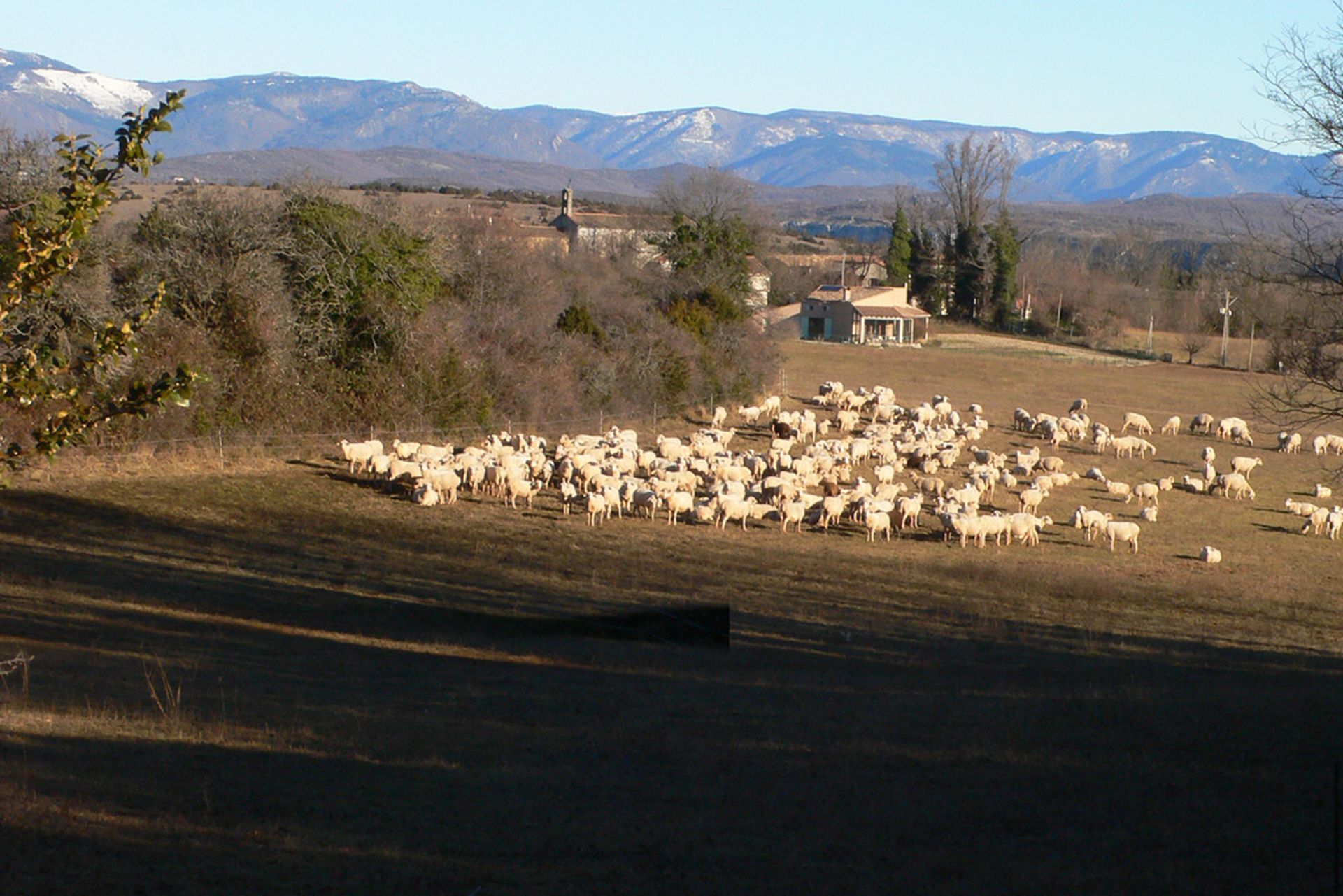
Take the road on the left for 1 km and, at a bend, enter the path on the right. It runs along a balcony above the Vis gorges (panoramic view; from right to left: Séranne mountain and the roc Blanc, the Vis gorges, the Anjeau peak and the Blandas causse; in the background, the foothills of the Cévennes). It crosses several hollows and arrives in sight of Saint-Maurice-Navacelles. Cross the track and continue straight on the shaded path. Take the D 130 to the right, the D 25 to the right up to the village entrance and return to the parking lot.
In case of emergency, call 112.
Yellow PR
+33 4 67 67 76 36
HÉRAULT DEPARTMENTAL COUNCIL SPORTS AND NATURE DIRECTORATE
PDESI
Oblíbené prohlídky v okolí
CIRQUE DE NAVACELLES AND MOULINS DE LA FOUX HIKING TRAILS
středníTuristika 9.29 km- 4.0
CYCLE LOOP No.4 - THE HÉRAULT GORGES AND THE COL DES LAVAGNES
středníJízda na kole 53.3 km HIKING OF THE FENESTRETTES
středníTuristika 10.4 kmRANDONNEE DE PEYRE MARTINE
středníTuristika 15.4 kmNAVACELLES HIKE - CAUSSE AND VIS GORGES
středníTuristika 19.6 kmHIKE FROM DRY VALLEYS TO SOTCHS
středníTuristika 11.5 kmHIKE OF NOTRE-DAME-DU-LIEU-PLAISANT
středníTuristika 11.1 kmHIKING TOUR IN THE HEART OF THE CAUSSE - GR® DE PAYS TOUR DU LARZAC MÉRIDIONAL
středníTuristika 56.7 kmHIKING OF THE BALCONIES OF THE HERAULT
středníTuristika 17.9 kmMONT SAINT-BAUDILLE HIKE
středníTuristika 10.4 km
Pěší turistika a stopování


Nenechte si ujít nabídky a inspiraci pro vaši příští dovolenou
Vaše e-mailová adresa byl přidán do poštovního seznamu.





