
Course A - Prabis
světlo
Pořiďte si tuto prohlídku do mobilního telefonu
Course A - Prabis
světlo
Trailrunning
5.60
km
Naskenujte QR kód a spusťte navigaci v aplikaci bergfex.


Pěší turistika a stopování





Course A - Prabis
světlo
Vzdálenost
5.60
km
Doba trvání
01:08
h
Ascent
203
hm
Hladina moře
736 -
957
m
Stažení skladby
Course A - Prabis
světlo
Trailrunning
5.60
km
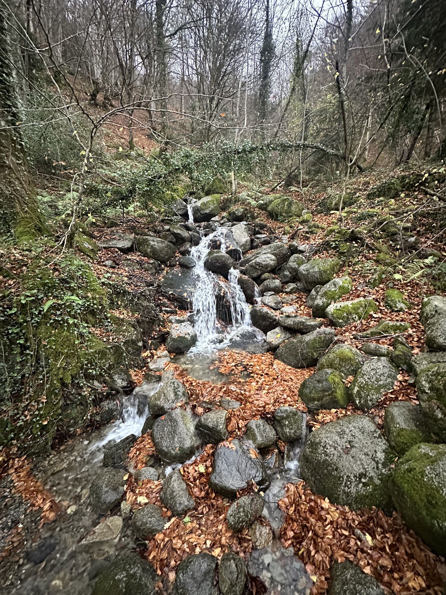
Some rounded stones allow you to work on your footing. The steep slope of Pas d’Enfer teaches you how to handle steep inclines. Don't hesitate to walk to conserve your breath during the climb. The return...
Popis
Some rounded stones allow you to work on your footing. The steep slope of Pas d’Enfer teaches you how to handle steep inclines. Don't hesitate to walk to conserve your breath during the climb. The return to the village is via the forest track with a gentle descent: it’s an opportunity to lengthen your stride. Do the course several times if you want to train longer without going far from the village.
https://www.openrunner.com/route-details/17366486
https://www.openrunner.com/route-details/17366486
Trasa
Aulus-les-Bains
(751 m)
Vesnice
0.5 km
Fontaine de Carboue
(831 m)
Zdroj:
4.4 km
Aulus-les-Bains
(751 m)
Vesnice
5.3 km
Trasa
Course A - Prabis
světlo
Trailrunning
5.60
km
Aulus-les-Bains
(751 m)
Vesnice
0.5 km
Le Pas d'Enfer
(932 m)
Koridor/terén
2.9 km
Fontaine de Carboue
(831 m)
Zdroj:
4.4 km
Aulus-les-Bains
(751 m)
Vesnice
5.3 km

Naposledy sledované
před 2 týdny

Zatím žádné recenze
Oblíbené prohlídky v okolí
-
5.0
Étang de Guzet by the Ars waterfall
heavyTuristika 13.0 km -
Montcalm and the Pique d'Estats
heavyTuristika 17.4 km -
Cyclosport circuit 7 - The five passes
heavySilniční kolo 104.2 km -
Circuit cyclosport 11 - Le cyclotour de l'Ariège - Etape 2 de Castillon-en-Couserans à Auzat
heavySilniční kolo 84.0 km -
Ars waterfall
světloTuristika 8.64 km -
5.0
Parcours E - Cascade d'Ars
středníTrailrunning 13.4 km -
5.0
Blue Pond
světloTuristika 9.90 km -
Hors catégorie stage 100% Ariège tour de France - circuit n°12
heavySilniční kolo 103.7 km -
Cyclosport route 11 - The Ariège cycloroute - Stage 1: from Foix to Castillon-en-Couserans
heavySilniční kolo 86.0 km -
Circuit cyclotourisme - Au tour du pic des trois seigneurs
heavySilniční kolo 74.2 km
Pěší turistika a stopování

Více než 550.000 návrhů výletů, podrobné mapy a intuitivní plánovač tras dělají z aplikace nezbytnou výbavu pro všechny milovníky přírody.

Nenechte si ujít nabídky a inspiraci pro vaši příští dovolenou
Přihlaste se k odběru newsletteru
Chyba
Došlo k chybě. Zkuste to prosím znovu.
Děkujeme za vaši registraci
Vaše e-mailová adresa byl přidán do poštovního seznamu.
Zájezdy po celé Evropě
Rakousko
Švýcarsko
Německo
Itálie
Slovenia
Francie
Nizozemsko
Belgie
Polsko
Lichtenštejnsko
Česko
Slovensko
Španělsko
Chorvatsko
Bosna a Hercegovina
Lucembursko
Andorra
Portugal
Iceland
United Kingdom
Ireland
Greece
Albania
North Macedonia
Malta
Norway
Montenegro
Moldova
Kosovo
Hungary
San Marino
Romania
Estonia
Latvia
Belarus
Cyprus
Lithuania
Serbia
Bulgaria
Monaco
Denmark
Sweden
Finland





