Navigace na stránkách
Pořiďte si tuto prohlídku do mobilního telefonu
Mapa
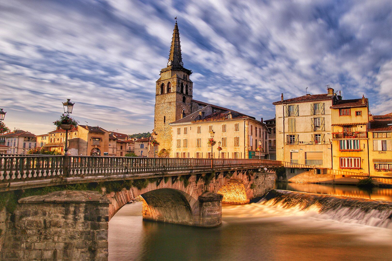
Cyclosport route 11 - The Ariège cycloroute - Stage 1: from Foix to Castillon-en-Couserans

heavy
Silniční kolo
85.96 km
Naskenujte QR kód a spusťte navigaci v aplikaci bergfex.
QR Code
Pěší turistika a stopování
Stáhnout pro iOS
Stáhnout pro Android

Cyclosport route 11 - The Ariège cycloroute - Stage 1: from Foix to Castillon-en-Couserans
Vzdálenost
86.0 km
Doba trvání
05:00 h
Ascent
1190 hm
Hladina moře
386 - 1247 m
Stažení skladby
Mapa
Cyclosport route 11 - The Ariège cycloroute - Stage 1: from Foix to Castillon-en-Couserans
heavy
Silniční kolo
85.96 km

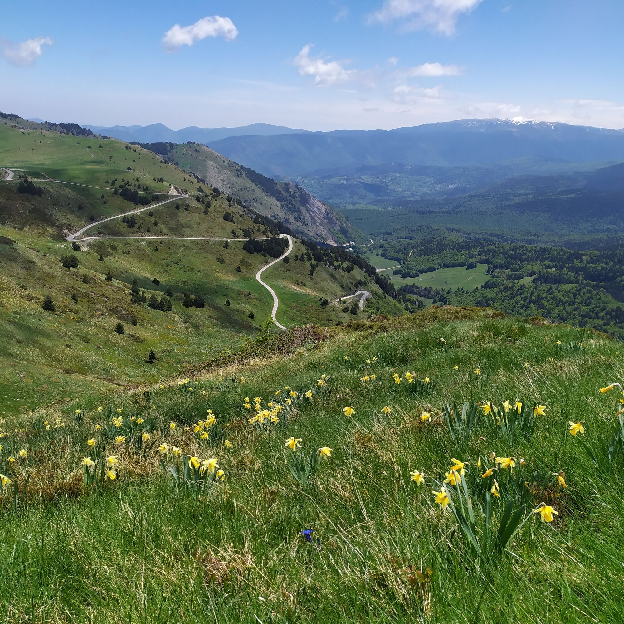
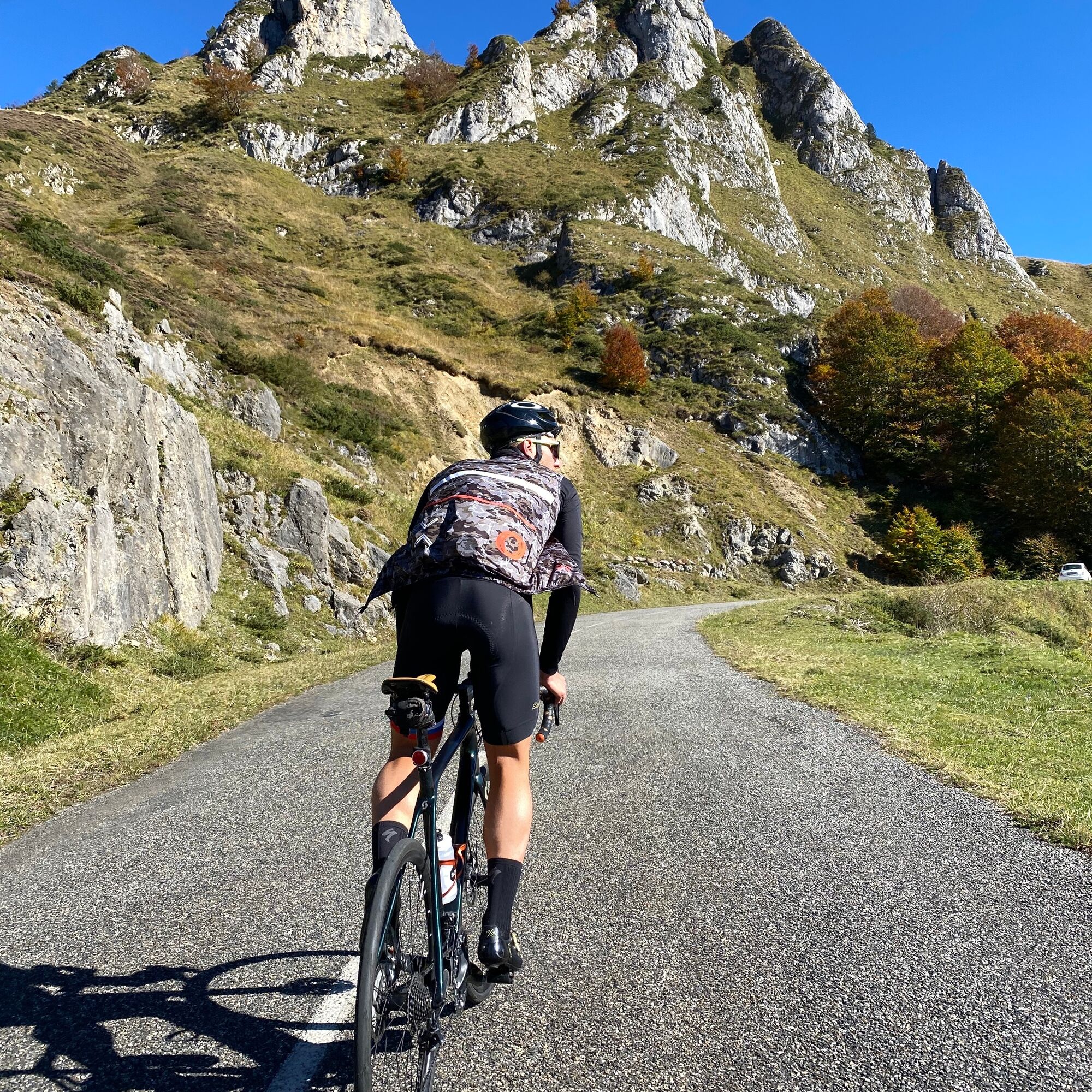
5 days of route to explore the legendary passes of the Tour de France.

This route developed by local cyclists takes you to the central Pyrenees on lightly trafficked roads towards magnificent and wild...

Popis

5 days of route to explore the legendary passes of the Tour de France.

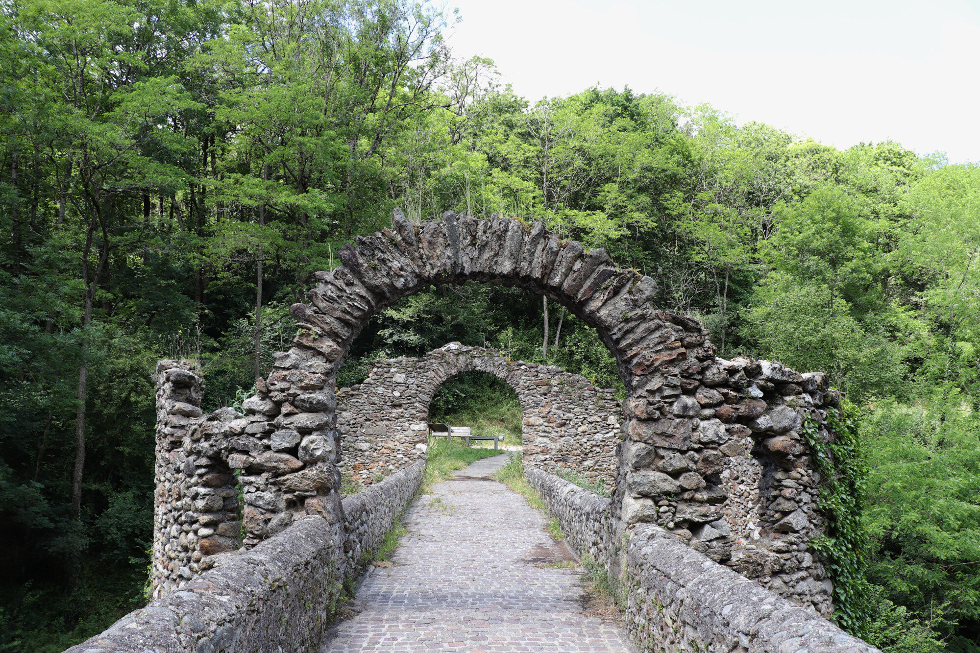
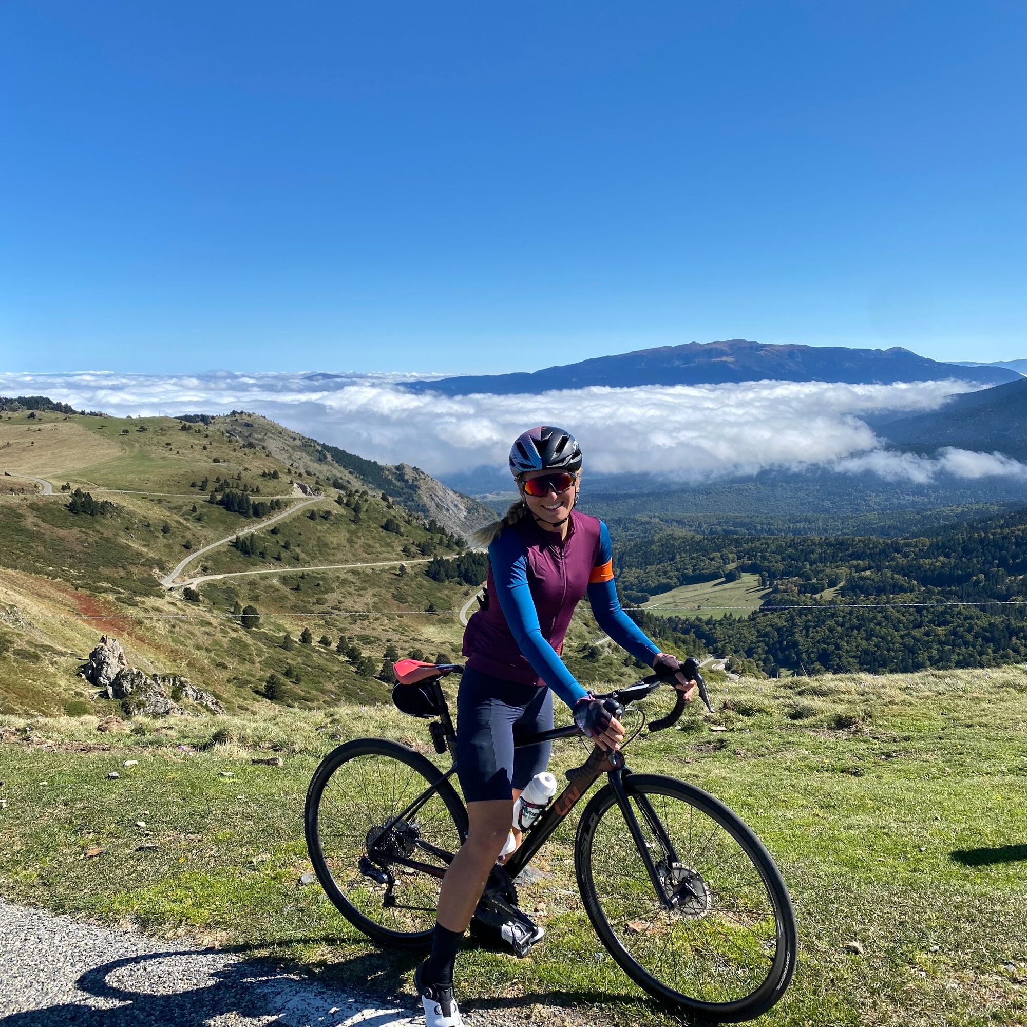
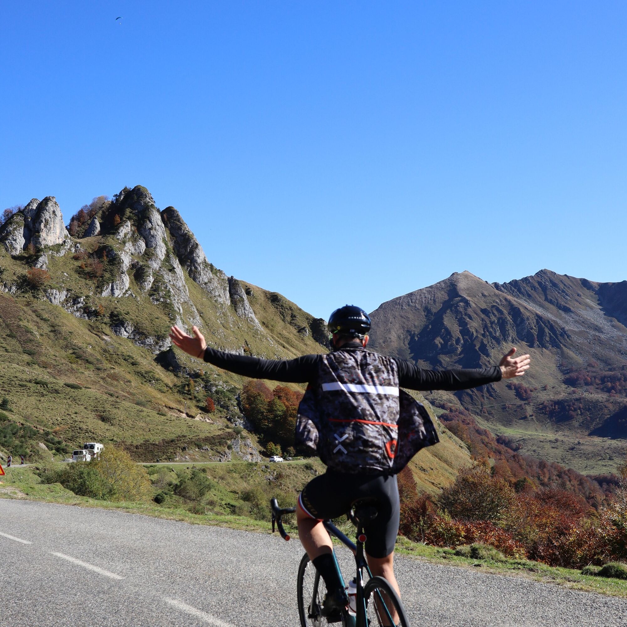
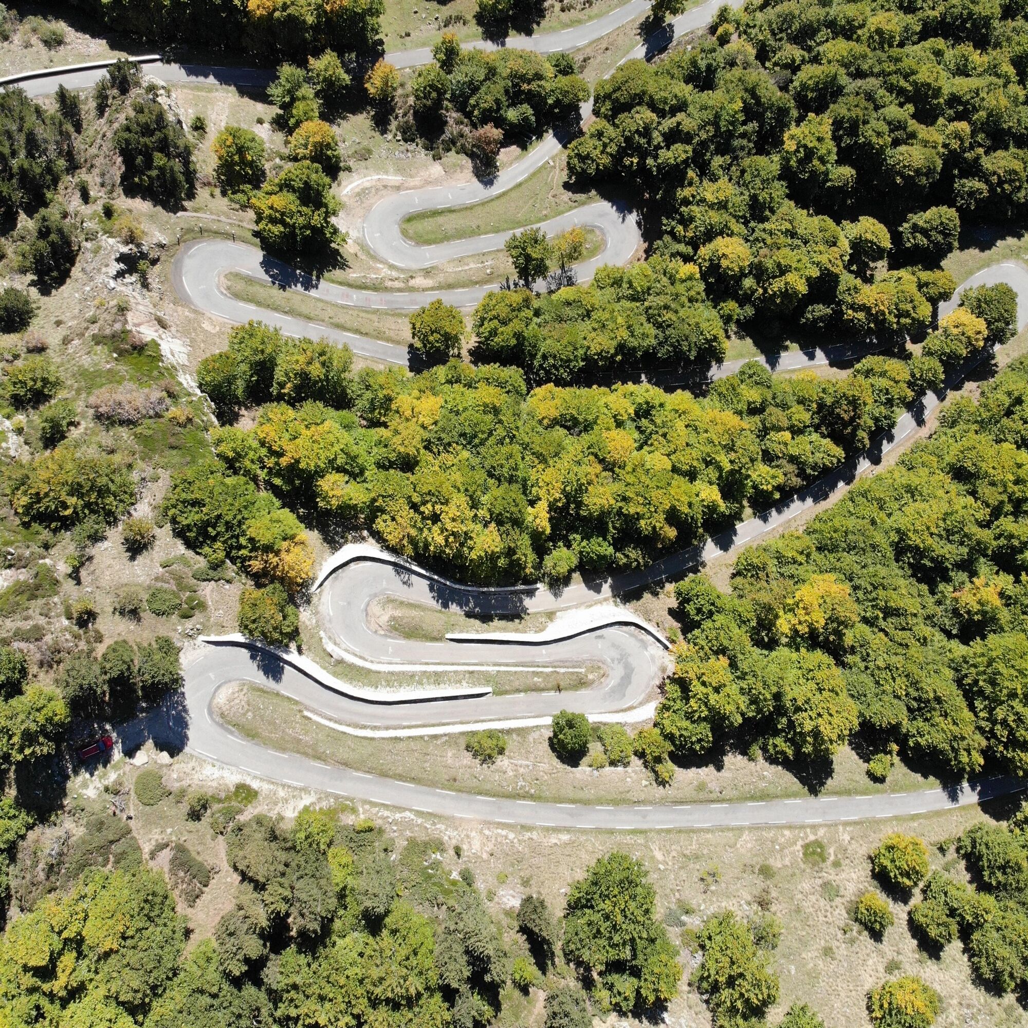
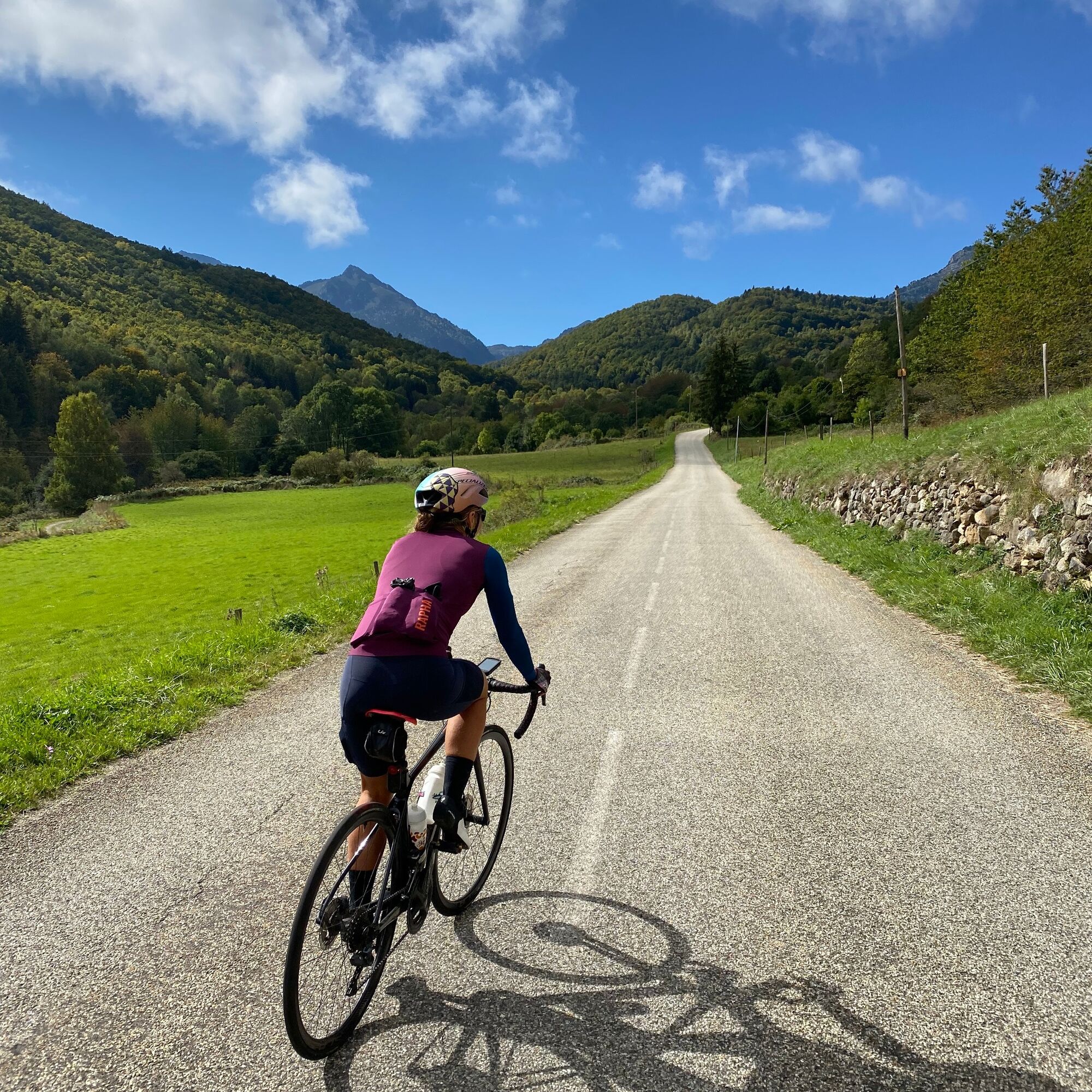
This route developed by local cyclists takes you to the central Pyrenees on lightly trafficked roads towards magnificent and wild landscapes that only Ariège can offer. Magnificent Pyrenean landscapes where you will alternate between forests, gorges, plateaus, and passes. Each day will be a discovery with always its reward:

- The Core pass overlooking the Bethmale valley known for its cheese,

- the Agnes pass where the panorama is simply memorable,

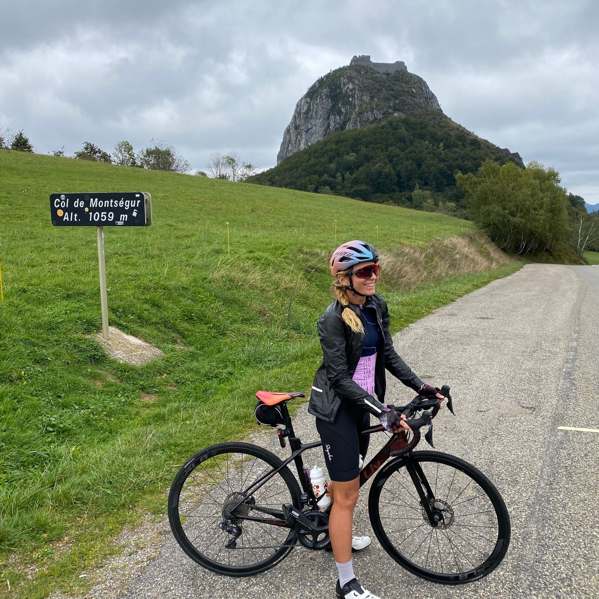
- the Montségur pass and its famous Cathar castle,

- the Pailhères pass and its hairpin bends leading you to 2,000m altitude,

- the Beille plateau: symbol of the ultimate cyclosportive climb.

Trasa
Église Notre-Dame-de-l'Assomption
(434 m)
Místo konání bohoslužeb
4.5 km
Tarascon-sur-Ariège
(473 m)
Vesnice
15.7 km
Église Saint-Blaise
(923 m)
Místo konání bohoslužeb
27.1 km
Église Saint-Barthélemy
(586 m)
Místo konání bohoslužeb
48.3 km
Rouaich
(586 m)
Vypořádání
57.1 km
Église Saint-Genez
(400 m)
Místo konání bohoslužeb
73.7 km
Halte Jacquaire
(545 m)
Úkryt
85.5 km
Trasa
Mapa
Cyclosport route 11 - The Ariège cycloroute - Stage 1: from Foix to Castillon-en-Couserans
heavy
Silniční kolo
85.96 km
Foix
(388 m)
Město
0.0 km
Ferrières-sur-Ariège
(407 m)
Vesnice
2.8 km
Église Notre-Dame-de-l'Assomption
(434 m)
Místo konání bohoslužeb
4.5 km
Prayols
(429 m)
Vesnice
4.7 km
Ginabat
(472 m)
Vypořádání
6.8 km
Amplaing
(501 m)
Vypořádání
10.0 km
Jardy
(506 m)
Sousedství
10.2 km
Peyregat
(499 m)
Sousedství
10.3 km
Bompas
(464 m)
Vesnice
12.5 km
Arignac
(507 m)
Vesnice
12.8 km
Tarascon-sur-Ariège
(473 m)
Vesnice
15.7 km
Les 3 Buffets
(484 m)
Restaurace
16.5 km
Cagnac
(487 m)
Vypořádání
16.5 km
La Forge
(514 m)
Sousedství
17.8 km
Surba
(551 m)
Vesnice
18.2 km
Bédeilhac
(643 m)
Vesnice
19.7 km
Auberge de la grotte Chez Peïo
(641 m)
Restaurace
20.1 km
Aynat
(658 m)
Vesnice
20.4 km
Le Châlet
(634 m)
Restaurace
21.7 km
Saurat
(672 m)
Vesnice
22.8 km
Église Sainte-Madeleine
(677 m)
Místo konání bohoslužeb
22.8 km
La Ruzole du Bas
(862 m)
Vypořádání
26.2 km
La Ruzole du Haut
(883 m)
Vypořádání
26.4 km
Loumet
(939 m)
Vypořádání
26.9 km
Église Saint-Blaise
(923 m)
Místo konání bohoslužeb
27.1 km
Auberge de la Sapinière
(1248 m)
Restaurace
32.6 km
Fontaine de Guindoulet
(1247 m)
Zdroj:
32.9 km
Mourouet
(1009 m)
Vypořádání
36.7 km
Jacoy
(986 m)
Vypořádání
37.8 km
Eycharts
(896 m)
Vypořádání
40.4 km
Église de la Nativité de la Vierge
(649 m)
Místo konání bohoslužeb
45.4 km
Massat
(653 m)
Vesnice
45.4 km
Auberge Les Trois Seigneurs
(644 m)
Restaurace
45.7 km
Lirbat
(612 m)
Vypořádání
46.6 km
Auberge du Gypaete barbu
(586 m)
Restaurace
48.3 km
Biert
(587 m)
Vesnice
48.3 km
Église Saint-Barthélemy
(586 m)
Místo konání bohoslužeb
48.3 km
Le Pont
(502 m)
Sousedství
55.9 km
Castet-D'Aleu
(499 m)
Vypořádání
56.1 km
Grillou
(569 m)
Vypořádání
56.9 km
Rouaich
(586 m)
Vypořádání
57.1 km
Lacourt
(426 m)
Vesnice
66.7 km
La Tuilerie
(422 m)
Koridor/terén
67.5 km
Le Pont du Nert
(415 m)
Vypořádání
68.3 km
La Moulasse
(414 m)
Vypořádání
68.8 km
Eycheil
(407 m)
Vesnice
69.9 km
Plaine d'Eycheil
(400 m)
Sousedství
70.8 km
L'Arial
(395 m)
Vypořádání
71.5 km
La Citadelle
(415 m)
Vypořádání
72.4 km
Saint-Girons
(392 m)
Město
72.5 km
Lédar
(397 m)
Sousedství
72.9 km
Vieux Lédar
(406 m)
Vypořádání
73.5 km
Sières
(399 m)
Sousedství
73.7 km
Église Saint-Genez
(400 m)
Místo konání bohoslužeb
73.7 km
Lambège
(421 m)
Vypořádání
74.2 km
Aubert
(423 m)
Vypořádání
76.8 km
Le Couerlou
(434 m)
Vypořádání
77.3 km
Pizza Kiwi
(433 m)
Restaurace
77.3 km
Moulis
(430 m)
Vesnice
77.6 km
Luzenac
(444 m)
Vypořádání
79.3 km
Arguilla
(452 m)
Vypořádání
79.8 km
La Forge
(459 m)
Vypořádání
80.6 km
Vignau
(463 m)
Sousedství
81.0 km
Engomer
(462 m)
Vesnice
81.2 km
Audressein
(506 m)
Vesnice
84.9 km
Castillon-en-Couserans
(539 m)
Vesnice
85.5 km
Halte Jacquaire
(545 m)
Úkryt
85.5 km
Informace o prohlídce

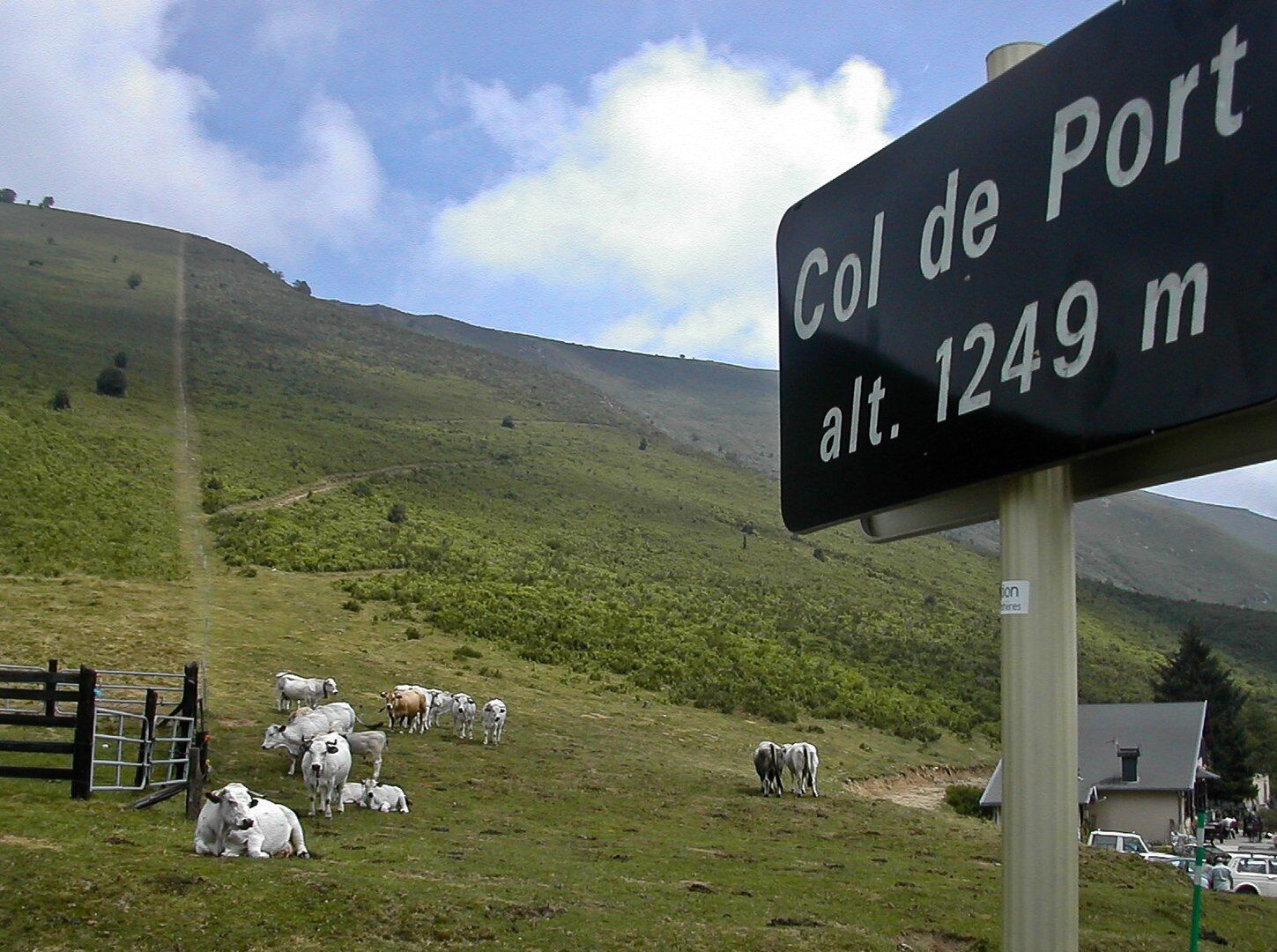
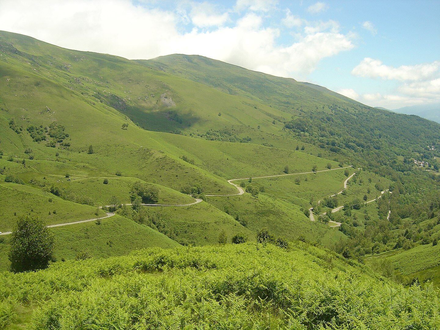
This first stage between the Fuxéen country and Couserans leads you into the Ariège valley then Tarascon before tackling the main difficulty: the Port pass at 1250m.

Technologie
n.a.
Stav
5 / 6
Krajina
4 / 6
Zkušenosti
4 / 6
Nejlepší roční období
Led
Úno
Bře
Dub
Kvě
Čen
Čec
Srp
Zář
Říj
Lis
Pro
Sdílet prohlídku
Mapa
Cyclosport route 11 - The Ariège cycloroute - Stage 1: from Foix to Castillon-en-Couserans
heavy
Silniční kolo
85.96 km
Chyba
Došlo k chybě. Zkuste to prosím znovu.
Pěší turistika a stopování

Pěší turistika a stopování

ke stažení pro iOSstáhnout pro Android
Pěší turistika a stopování
Více než 550.000 návrhů výletů, podrobné mapy a intuitivní plánovač tras dělají z aplikace nezbytnou výbavu pro všechny milovníky přírody.
bergfex