







Cycle tour - On the roads of the Cathar Pyrenees

Sightseeing:
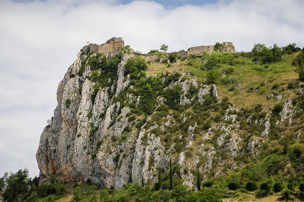
Château de Roquefixade
High perched, overlooking the Pog de Montségur to the south-east and the Tabe massif, the château dominates the Lesponne valley from a height of over 400 metres. Roquefixade...
Sightseeing:
Château de Roquefixade
High perched, overlooking the Pog de Montségur to the south-east and the Tabe massif, the château dominates the Lesponne valley from a height of over 400 metres. Roquefixade paid dearly for its support of Catharism. In 1211, Simon de Montfort destroyed the village at the foot of the castle. It was rebuilt on a modern plan and named "La Bastide de Montfort" before reverting to its original name.


Ano
Emergency number: 112
Think about carpooling
Take the train when you travel
Parking close to departure point
Oblíbené prohlídky v okolí
-
Cycling race route 1 - The Cathar Castles
heavySilniční kolo 88.2 km -
The path of the 3 waterfalls
středníTuristika 7.20 km -
Les terrasses du Pech
světloTuristika 3.22 km -
Cyclotour de l'Ariège in 5 days
heavySilniční kolo 441.0 km -
Cyclosport route 10 - The three bumps near Foix
heavySilniční kolo 78.8 km -
Saint-Sauveur Walk
světloTuristika 3.17 km -
Cyclosportive route 11 - The Ariège cycle route - Stage 3: from Auzat to Prades
heavySilniční kolo 107.4 km -
Le Pic de Montgailhard
světloTuristika 3.26 km -
Balade du Pech de Montgailhard
středníTuristika 6.94 km -
The Ariège MTB Crossing - Stage 03: Comus to Lavelanet
heavyMountainbike 22.7 km
Pěší turistika a stopování


Nenechte si ujít nabídky a inspiraci pro vaši příští dovolenou
Vaše e-mailová adresa byl přidán do poštovního seznamu.





