
MTB route no.26 Milhars Noir
střední
Pořiďte si tuto prohlídku do mobilního telefonu
MTB route no.26 Milhars Noir
střední
Mountainbike
23.68
km
Naskenujte QR kód a spusťte navigaci v aplikaci bergfex.


Pěší turistika a stopování





MTB route no.26 Milhars Noir
střední
Vzdálenost
23.7
km
Doba trvání
03:01
h
Ascent
627
hm
Hladina moře
134 -
457
m
Stažení skladby
MTB route no.26 Milhars Noir
střední
Mountainbike
23.68
km
Similar to Trail No. 25, but this time you will extend the route by descending via the GR de Pays to the village of Marnaves with its red stones. You will discover the St. Médard Church in the heart of...
Popis
Similar to Trail No. 25, but this time you will extend the route by descending via the GR de Pays to the village of Marnaves with its red stones. You will discover the St. Médard Church in the heart of the village.
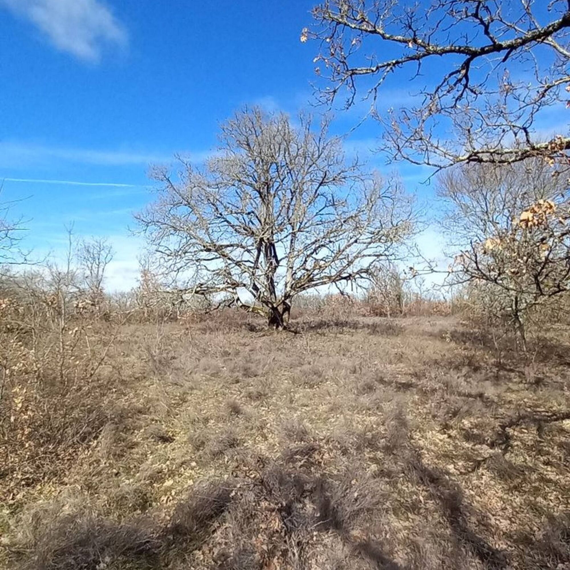
During a fairly steep climb, you’ll enjoy the red soil of the valley and the tranquility of its gnarled oak woods. Midway up, you’ll find a washhouse next to the water catchment. Once back on the plateau, you will continue towards Milhars (see Trail No. 25).
During a fairly steep climb, you’ll enjoy the red soil of the valley and the tranquility of its gnarled oak woods. Midway up, you’ll find a washhouse next to the water catchment. Once back on the plateau, you will continue towards Milhars (see Trail No. 25).
Trasa
Roussayrolles
(415 m)
Vesnice
0.0 km
Église Saint-Médard
(165 m)
Místo konání bohoslužeb
5.7 km
Marnaves
(162 m)
Vesnice
5.7 km
Lescoulie
(393 m)
Koridor/terén
10.1 km
Milhars
(138 m)
Vesnice
13.6 km
Cascade Pétrifiante de Bonnan
(194 m)
Vodopád
17.5 km
Caumonds
(363 m)
Koridor/terén
20.5 km
Trasa
MTB route no.26 Milhars Noir
střední
Mountainbike
23.68
km
Roussayrolles
(415 m)
Vesnice
0.0 km
Église Saint-Médard
(165 m)
Místo konání bohoslužeb
5.7 km
Marnaves
(162 m)
Vesnice
5.7 km
Lescoulie
(393 m)
Koridor/terén
10.1 km
Milhars
(138 m)
Vesnice
13.6 km
Cascade Pétrifiante de Bonnan
(194 m)
Vodopád
17.5 km
Caumonds
(363 m)
Koridor/terén
20.5 km
Roussayrolles
(415 m)
Vesnice
23.6 km


Informace o trase
Trasa
Arriving from Roussayrolles through the Grézelles forest to Pech de Marnaves, follow the path of St. Jean and continue right to descend via the GR de Pays Cordes-Penne. Cross the village to the right and descend towards the Départementale Road, then turn onto the small path leading to the parking area with a water point and picnic tables.
Return via the Lissart road and ascend the trails to the water pumping station before making switchbacks that lead you to the communal road.
Once you’ve crossed the road, continue back to St. Jean via the paths and then proceed towards Milhars (see description of Trail No. 25).
Return via the Lissart road and ascend the trails to the water pumping station before making switchbacks that lead you to the communal road.
Once you’ve crossed the road, continue back to St. Jean via the paths and then proceed towards Milhars (see description of Trail No. 25).
Zatím žádné recenze
Oblíbené prohlídky v okolí
- 5.0
Chemin de la Vère au Saint-Hussou
středníTuristika 14.2 km Maraval Trail - Short Variant
středníTuristika 5.02 kmSentier des dunes de Maraval aux Touardes
středníTuristika 8.57 kmThe Suquets of Penne
světloTuristika 10.3 kmFrom the Cérou to the Aveyron
středníTuristika 10.2 kmSentier de découverte de Les Cabannes "Sur les traces des bâtisseurs"
světloTuristika 2.63 kmCordes heritage trail
středníTuristika 14.8 kmTéroundel path (Sentier du Téroundel)
světloTuristika 2.58 kmCircuit VTT n°27 Bonnan Vert
světloMountainbike 8.18 kmLacapelle Sainte-Lucie circuit
středníTuristika 11.5 km

Pěší turistika a stopování

Více než 550.000 návrhů výletů, podrobné mapy a intuitivní plánovač tras dělají z aplikace nezbytnou výbavu pro všechny milovníky přírody.

Nenechte si ujít nabídky a inspiraci pro vaši příští dovolenou
Přihlaste se k odběru newsletteru
Chyba
Došlo k chybě. Zkuste to prosím znovu.Děkujeme za vaši registraci
Vaše e-mailová adresa byl přidán do poštovního seznamu.
Zájezdy po celé Evropě
Rakousko Švýcarsko Německo Itálie Slovenia Francie Nizozemsko Belgie Polsko Lichtenštejnsko Česko Slovensko Španělsko Chorvatsko Bosna a Hercegovina Lucembursko Andorra Portugal Iceland United Kingdom Ireland Greece Albania North Macedonia Malta Norway Montenegro Moldova Kosovo Hungary San Marino Romania Estonia Latvia Belarus Cyprus Lithuania Serbia Bulgaria Monaco Denmark Sweden Finland





